Vector Map of Germany
Vector map is the best way to visually present a world, continents, islands, to display location and boundaries of countries and cities. ConceptDraw PRO diagramming and vector drawing software offers the Germany Map Solution from the Maps Area of ConceptDraw Solution Park - the best tool for fast and easy drawing vector map of Germany of any degree of detailing, and thematic cartograms and maps of Germany on its base.Geo Map of Americas
The Americas are the combined continental landmasses of North America and South America, in the Western Hemisphere. There are 35 sovereign states in the Americas. ConceptDraw is idea to draw the geological maps of America from the pre-designed vector geo map shapes and vector images map of america. Use Continent Maps solution from the Maps area of ConceptDraw Solution Park to draw thematic maps, geospatial infographics and vector illustrations for your business documents, presentations and websites.Geo Mapping Software Examples - World Map Outline
An Example world map, showing a simple outline of world map. The world map is vector and can be edited or export to svg format.Geo Map - Australia - New Zealand
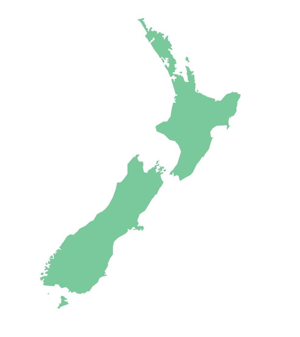
The vector stencils library Australia contains contours of New Zealand and Australian states and mainland territories for ConceptDraw PRO diagramming and vector drawing software.Geo Map - Europe - Macedonia
The vector stencils library Macedonia contains contours for ConceptDraw PRO diagramming and vector drawing software. This library is contained in the Continent Maps solution from Maps area of ConceptDraw Solution Park.Map Software
Create maps, flags, and more with ConceptDrawGeo Map - South America Continent
South America includes 12 sovereign states. ConceptDraw PRO is idea to draw the geological maps of South America continent from the pre-designed vector geo map shapes. Use Continent Maps solution from the Maps area of ConceptDraw Solution Park to draw thematic maps, geospatial infographics and vector illustrations for your business documents, presentations and websites.Geo Map - South America - Paraguay
Paraguay, officially the Republic of Paraguay, is a landlocked country in South America, bordered by Argentina to the south and southwest, Brazil to the east and northeast, and Bolivia to the northwest. The vector stencils library Paraguay contains contours for ConceptDraw PRO diagramming and vector drawing software. This library is contained in the Continent Maps solution from Maps area of ConceptDraw Solution Park.Geo Map Software
Geo Map Software - Full Geographic Reach of Your Business with Geo Map Shapes.Geo Map - USA - Alaska
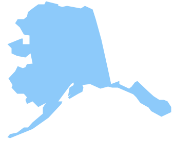
Alaska is a U.S. state situated in the northwest extremity of the North American continent. The vector stencils library Alaska contains contours for ConceptDraw PRO diagramming and vector drawing software. This library is contained in the Continent Maps solution from Maps area of ConceptDraw Solution Park.Geo Map - South America - Mexico
Mexico, officially the United Mexican States, is a federal republic in North America. The vector stencils library Mexico contains contours for ConceptDraw PRO diagramming and vector drawing software. This library is contained in the Continent Maps solution from Maps area of ConceptDraw Solution Park.Geo Map - USA - California
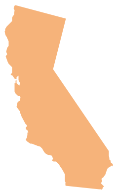
California is a state located on the West Coast of the United States. The vector stencils library California contains contours for ConceptDraw PRO diagramming and vector drawing software. This library is contained in the Continent Maps solution from Maps area of ConceptDraw Solution Park.Geo Map - Asia - Turkey
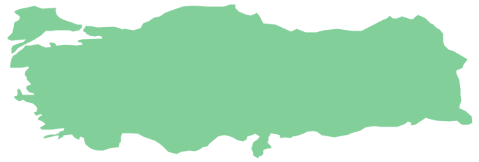
Turkey, officially the Republic of Turkey, is a contiguous transcontinental country, located mostly on Anatolia in Western Asia, and on East Thrace in Southeastern Europe. The vector stencils library Turkey contains contours for ConceptDraw PRO diagramming and vector drawing software. This library is contained in the Continent Maps solution from Maps area of ConceptDraw Solution Park.Geo Map - South America - Puerto Rico
Puerto Rico, officially the Commonwealth of Puerto Rico, is an unincorporated territory of the United States, located in the northeastern Caribbean east of the Dominican Republic and west of both the United States Virgin Islands and the British Virgin Islands. The vector stencils library Puerto Rico contains contours for ConceptDraw PRO diagramming and vector drawing software. This library is contained in the Continent Maps solution from Maps area of ConceptDraw Solution Park.Geo Map - Africa - Cameroon
Cameroon, officially the Republic of Cameroon, is a country in the west Central Africa region. The vector stencils library Cameroon contains contours for ConceptDraw PRO diagramming and vector drawing software. This library is contained in the Continent Maps solution from Maps area of ConceptDraw Solution Park.- Geo Map - Europe | Geo Map - South America Continent | Geo Map ...
- Geo Map - Europe | Geo Map - Asia | Geo Map - South America ...
- Geo Map - South America Continent | Geo Map - Asia | Map of ...
- Geological Map Of South America
- Geo Map Software | Geo Map - World | Geo Map - South America ...
- Map Design Elements Vector
- Design elements - Management map Canada | Vector Map of ...
- Geo Map - South America Continent | Geo Map - Europe - Spain ...
- Geo Map - World
- Lebanon Geological Map Png
- Vector Mapa Asia
- Continent Maps | Geo Map - South America Continent | World ...
- Interactive World Map With Countries
- Map Of America
- Geo Map - World | Geo Map - Asia - South Korea | Geo Map ...
- Map Of States America
- States In America Map
- Geo Map - World | Geo Map - Africa - Uganda | Geo Map of ...
- How to Draw a Map of North America Using ConceptDraw PRO ...
- Geo Map - United States of America Map | Continent Maps | Geo ...


