Geo Map - South America - Guyana
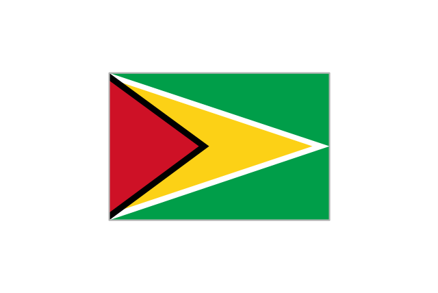
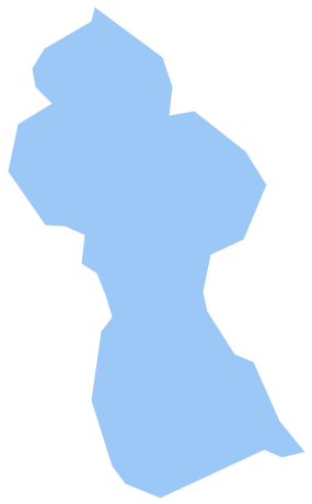
Guyana, officially the Co-operative Republic of Guyana, is a sovereign state on the northern coast of South America. The vector stencils library Guyana contains contours for ConceptDraw PRO diagramming and vector drawing software. This library is contained in the Continent Maps solution from Maps area of ConceptDraw Solution Park.Geo Map - South America - Haiti
Haiti, officially the Republic of Haiti, is a Caribbean country. The vector stencils library Haiti contains contours for ConceptDraw PRO diagramming and vector drawing software. This library is contained in the Continent Maps solution from Maps area of ConceptDraw Solution Park.Geo Map - South America - Mexico
Mexico, officially the United Mexican States, is a federal republic in North America. The vector stencils library Mexico contains contours for ConceptDraw PRO diagramming and vector drawing software. This library is contained in the Continent Maps solution from Maps area of ConceptDraw Solution Park.Geo Map - Europe - France
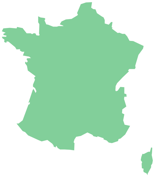
The vector stencils library France contains contours for ConceptDraw PRO diagramming and vector drawing software. This library is contained in the Continent Maps solution from Maps area of ConceptDraw Solution Park.Geo Map - South America Continent
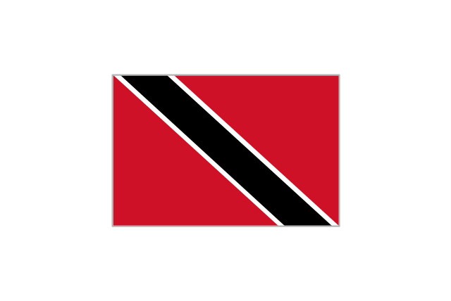
South America includes 12 sovereign states. ConceptDraw PRO is idea to draw the geological maps of South America continent from the pre-designed vector geo map shapes. Use Continent Maps solution from the Maps area of ConceptDraw Solution Park to draw thematic maps, geospatial infographics and vector illustrations for your business documents, presentations and websites.Geo Map - South America - Trinidad and Tobago
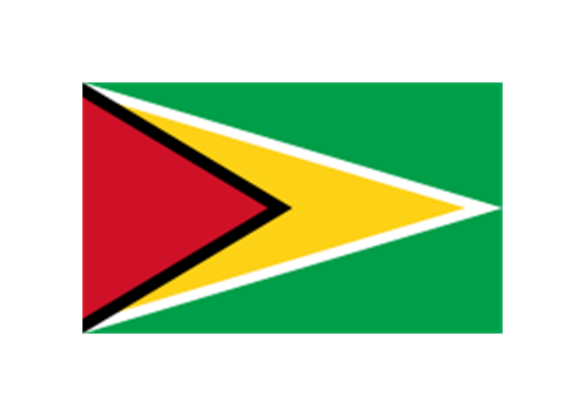
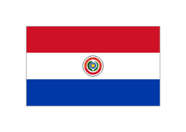
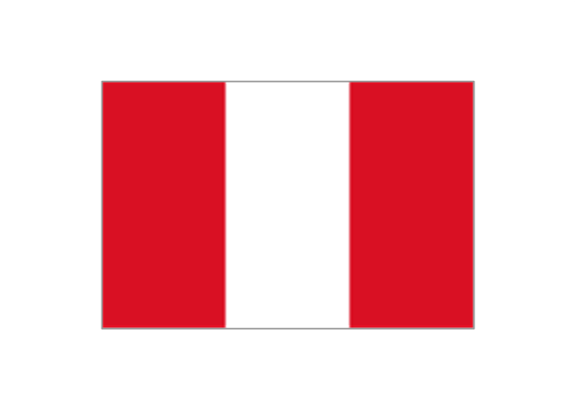
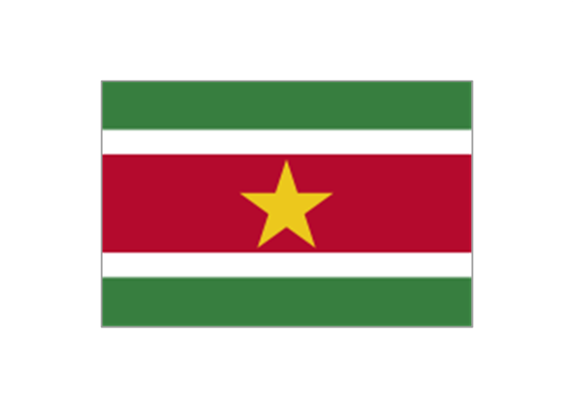
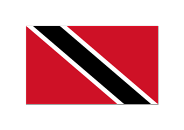
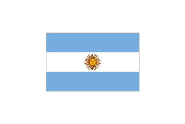
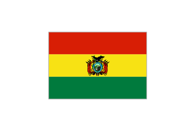
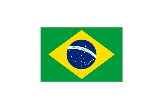
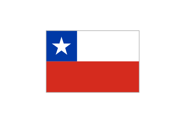
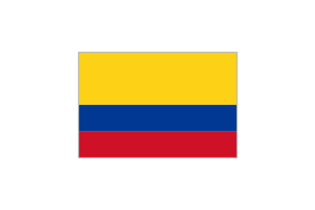
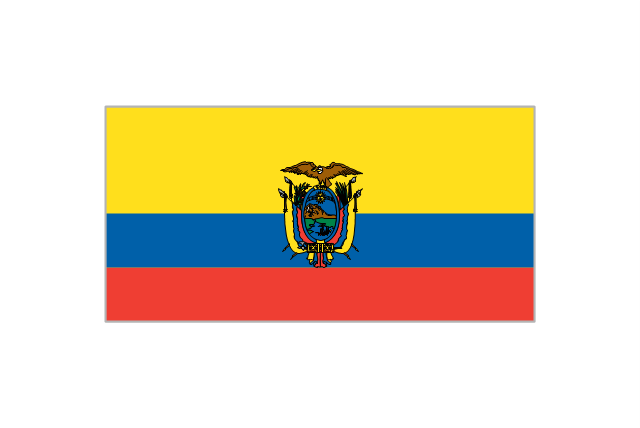
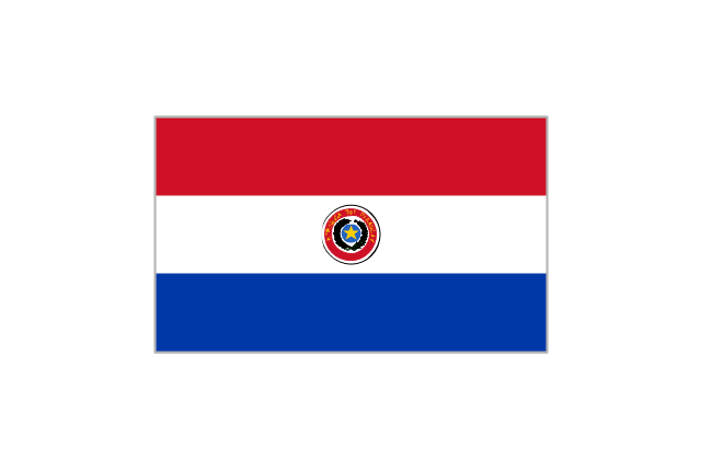
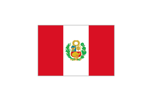
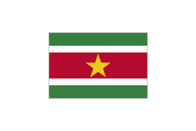
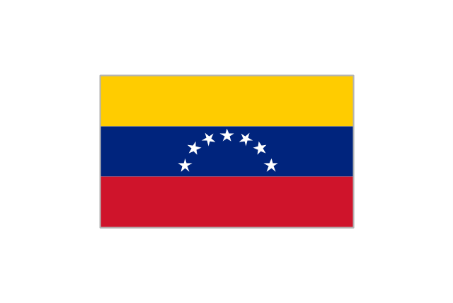
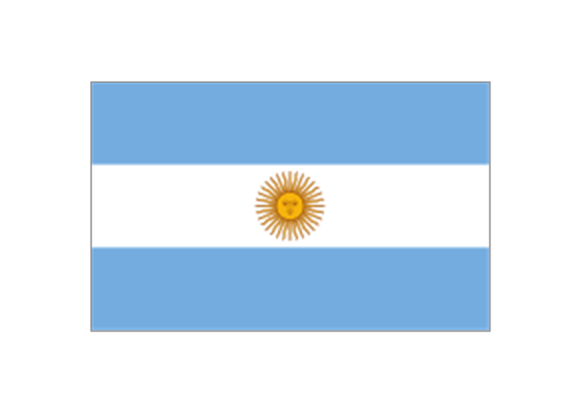
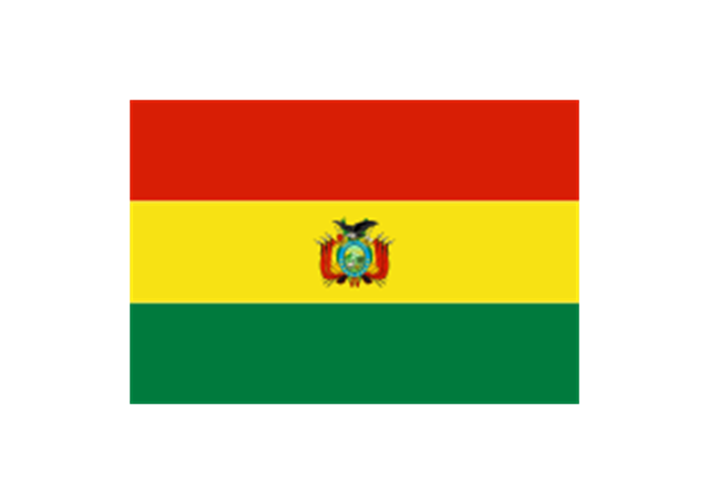
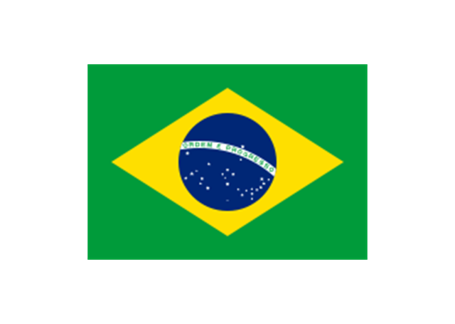
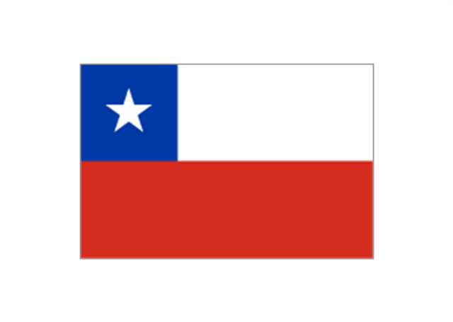
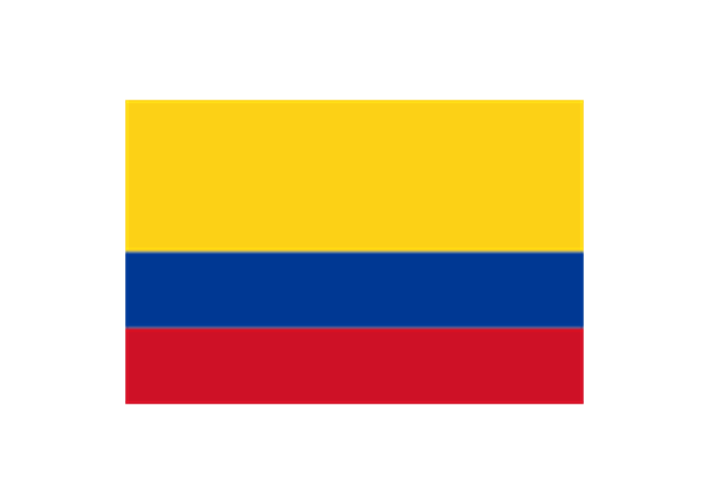
Trinidad and Tobago, officially the Republic of Trinidad and Tobago, is an island country off the northern edge of South America, lying just off the coast of northeastern Venezuela and south of Grenada in the Lesser Antilles. The vector stencils library Trinidad and Tobago contains contours for ConceptDraw PRO diagramming and vector drawing software. This library is contained in the Continent Maps solution from Maps area of ConceptDraw Solution Park.The stencils library "South America flags" contains 14 clipart images of South American countries state flags.
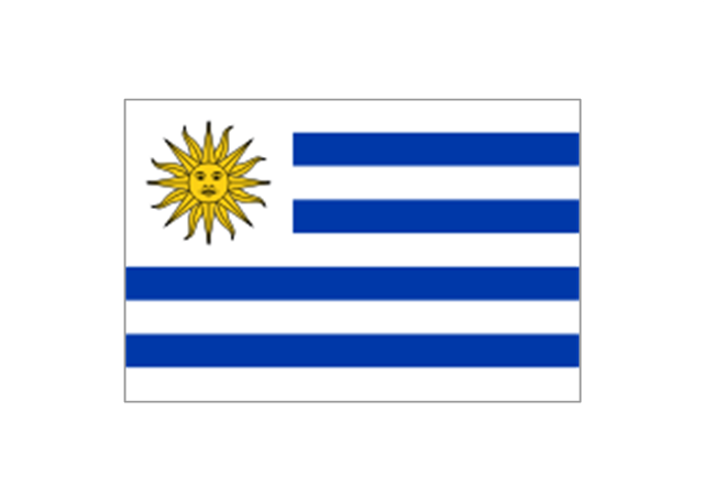
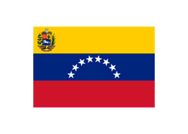
"... flags of South American countries and affiliated international organizations.
International: Flag of the Andean Community of Nations, Flag of the European Union, Flag of Mercosur, Flag of OPEC, Flag of the Organisation internationale de la Francophonie, Flag of the Union of South American Nations.
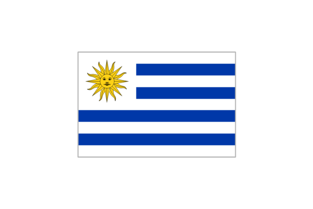
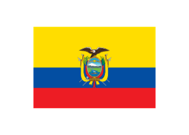
Countries: Flag of Argentina, Flag of Bolivia, Flag of Brazil, Flag of Chile, Flag of Colombia, Flag of Ecuador, Flag of Guyana, Flag of Paraguay, Flag of Peru, Flag of Suriname, Flag of Uruguay, Flag of Venezuela.
Territories: Flag of Aruba (Kingdom of the Netherlands), Flag of Bonaire (Kingdom of the Netherlands), Flag of Curacao (Kingdom of the Netherlands), Flag of the Falkland Islands (British Overseas Territory), Flag of French Guiana (Overseas Department of France), Flag of South Georgia and the South Sandwich Islands (British Overseas Territory)." [Flags of South America. Wikipedia]
The clip art example "South America flags - Stencils library" was created using the ConceptDraw PRO diagramming and vector drawing software extended with the Continent Maps solution from the Maps area of ConceptDraw Solution Park.
www.conceptdraw.com/ solution-park/ maps-continent
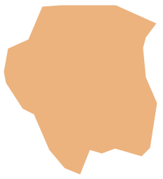
Geo Map - South America - Suriname
Suriname, officially known as the Republic of Suriname, is a country on the northeastern Atlantic coast of South America. The vector stencils library Suriname contains contours for ConceptDraw PRO diagramming and vector drawing software. This library is contained in the Continent Maps solution from Maps area of ConceptDraw Solution Park.The vector stencils library "South America country flags" contains 13 clipart images of South American state flags. Use the South America country flags clip art to illustrate your business documents, presentation slides, web pages, geo maps and infographics. The clip art example "South America country flags - Vector stencils library" was created using the ConceptDraw PRO diagramming and vector drawing software extended with the Artwork solution from the Illustration area of ConceptDraw Solution Park.
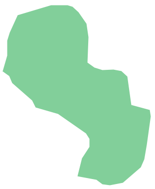
Geo Map - South America - Paraguay
Paraguay, officially the Republic of Paraguay, is a landlocked country in South America, bordered by Argentina to the south and southwest, Brazil to the east and northeast, and Bolivia to the northwest. The vector stencils library Paraguay contains contours for ConceptDraw PRO diagramming and vector drawing software. This library is contained in the Continent Maps solution from Maps area of ConceptDraw Solution Park.Geo Map - South America - Chile
Chile, officially the Republic of Chile, is a South American country occupying a long, narrow strip of land between the Andes mountains to the east and the Pacific Ocean to the west. The vector stencils library Chile contains contours for ConceptDraw PRO diagramming and vector drawing software. This library is contained in the Continent Maps solution from Maps area of ConceptDraw Solution Park.Geo Map - South America - Nicaragua
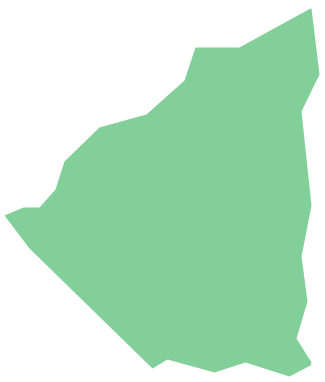
Nicaragua, officially the Republic of Nicaragua, is the largest country in the Central American isthmus, bordering Honduras to the north and Costa Rica to the south. The vector stencils library Nicaragua contains contours for ConceptDraw PRO diagramming and vector drawing software. This library is contained in the Continent Maps solution from Maps area of ConceptDraw Solution Park.Geo Map - South America - Bolivia
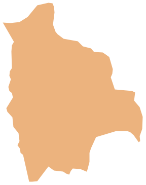
Bolivia, officially known as the Plurinational State of Bolivia, is a landlocked country located in central South America. The vector stencils library Bolivia contains contours for ConceptDraw PRO diagramming and vector drawing software. This library is contained in the Continent Maps solution from Maps area of ConceptDraw Solution Park.Geo Map - South America - Jamaica
Jamaica is an island country situated in the Caribbean Sea, comprising the third-largest island of the Greater Antilles. The vector stencils library Jamaica contains contours for ConceptDraw PRO diagramming and vector drawing software. This library is contained in the Continent Maps solution from Maps area of ConceptDraw Solution Park.Geo Map - South America - Venezuela
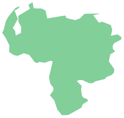
Venezuela, officially called the Bolivarian Republic of Venezuela, is a country on the northern coast of South America. The vector stencils library Venezuela contains contours for ConceptDraw PRO diagramming and vector drawing software. This library is contained in the Continent Maps solution from Maps area of ConceptDraw Solution Park.- Guyana Map Clip Art Hd
- Geo Map - South America - Guyana | Latin America - Vector stencils ...
- Geo Map - South America - Venezuela
- Geo Map - South America - Venezuela | South America flags ...
- Geo Map - South America Continent | Geo Map - South America ...
- Geo Map - South America Continent | Geo Map - South America ...
- South America flags - Stencils library | Mercosur Map Art
- Geo Map - South America - Argentina
- Geo Map - South America - Colombia | South America - Vector ...
- Geo Map - South America - Chile | South America - Vector stencils ...
- Political map of Central America | Design elements - North and ...
- Map Of Mexico Clipart
- Geo Map - South America - Colombia
- Map Red Latin America
- Geo Map - South America - Bolivia
- Geo Map - South America - Belize | South America - Vector stencils ...
- Geo Map - South America Continent
- Geo Map - South America Continent | South America regions ...
- North America Caribbean Clipart
- Latin America Clipart




-south-america-flags---stencils-library.png--diagram-flowchart-example.png)
