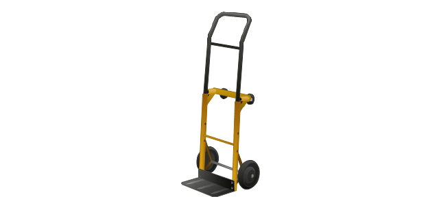
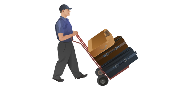
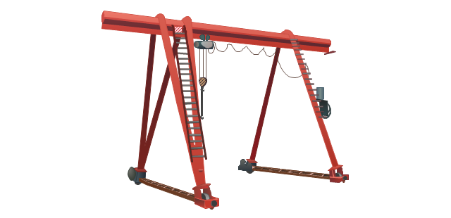
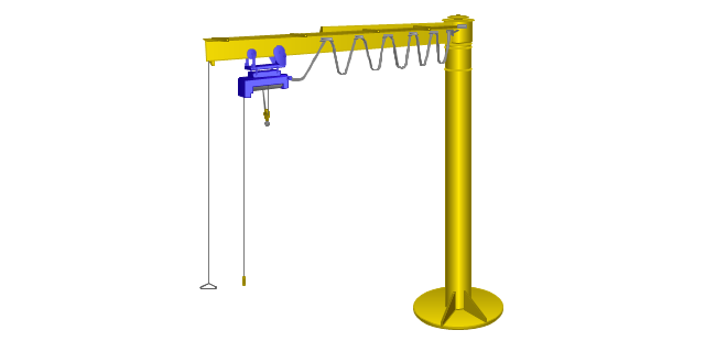
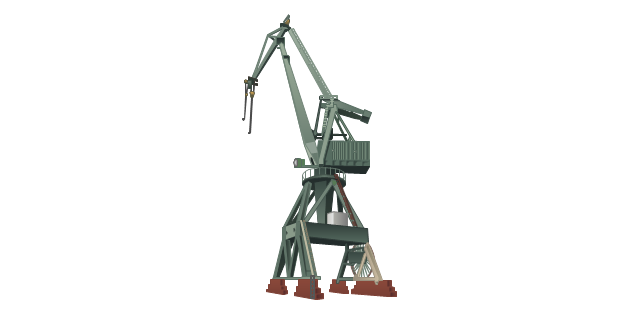
"A harbor or harbour ..., or haven, is a body of water where ships, boats, and barges can seek shelter from stormy weather, or else are stored for future use. Harbors can be natural or artificial. An artificial harbor has deliberately constructed breakwaters, sea walls, or jettys, or otherwise, they could have been constructed by dredging, and these require maintenance by further periodic dredging. ...
Harbors and ports are often confused with each other. A port is a facility for loading and unloading vessels; ports are usually located in harbors." [Harbor. Wikipedia]
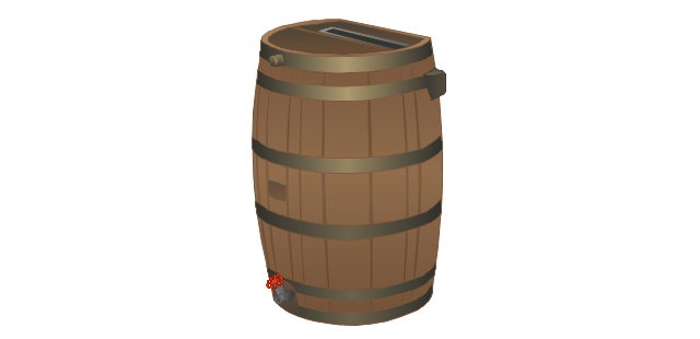
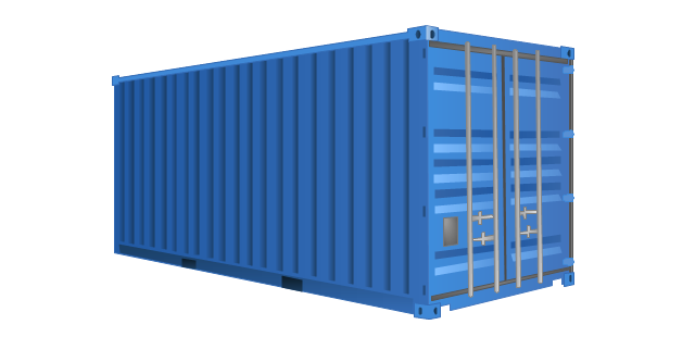
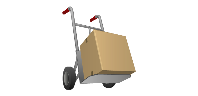
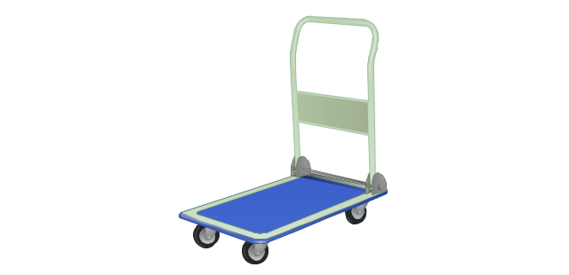
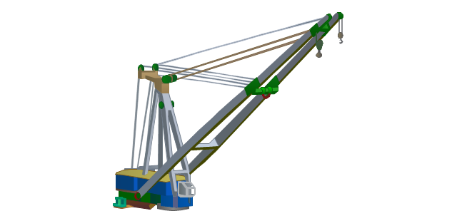
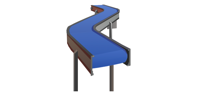
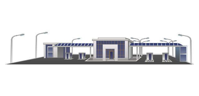
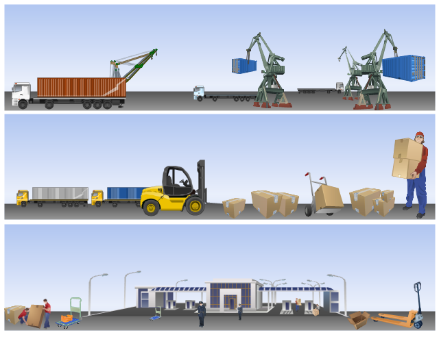
The illustration example "Industrial harbor" was created in the ConceptDraw PRO diagramming and vector drawing software using the vector stencils libraries Industrial vehicles and Packaging, loading, customs.
The illustration example "Industrial harbor" is included in the Manufacturing and Maintenance solution from the Illustration area of ConceptDraw Solution Park.
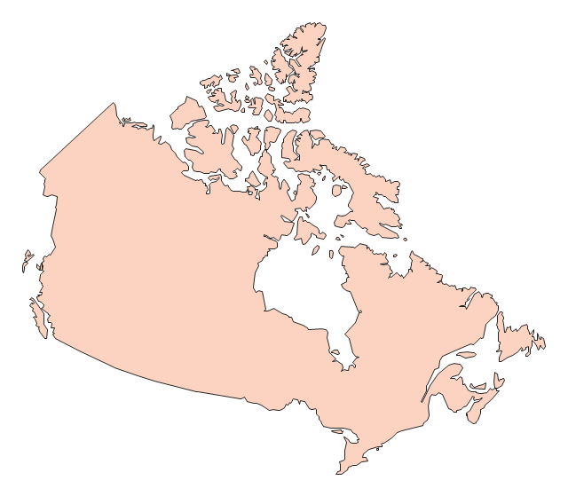
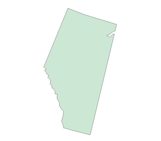
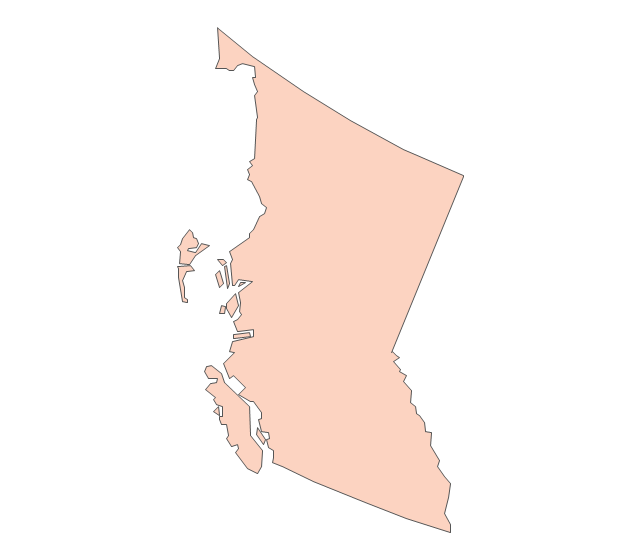
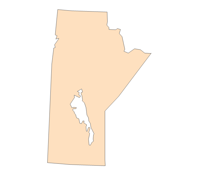
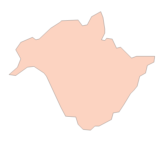
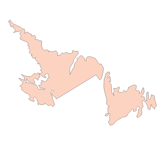
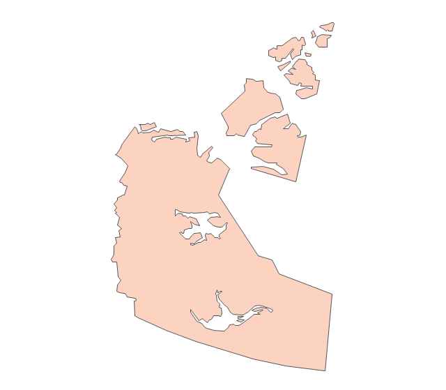
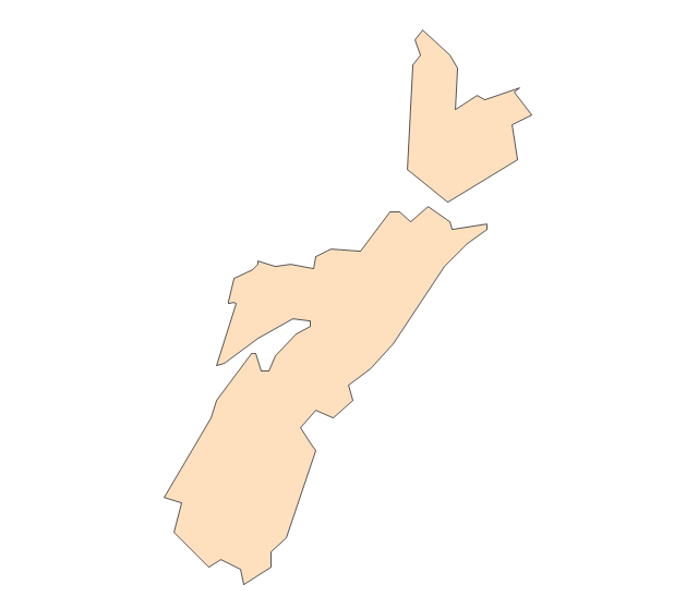
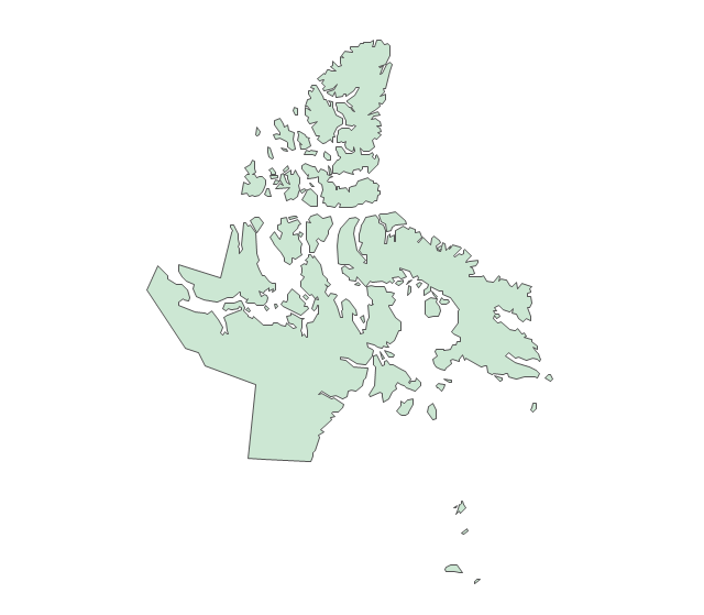
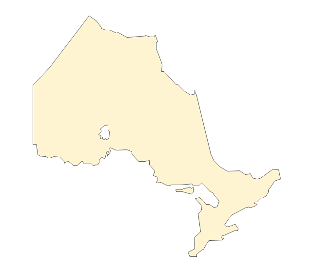
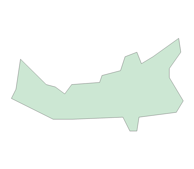
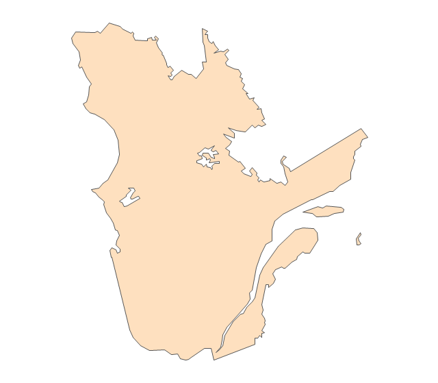
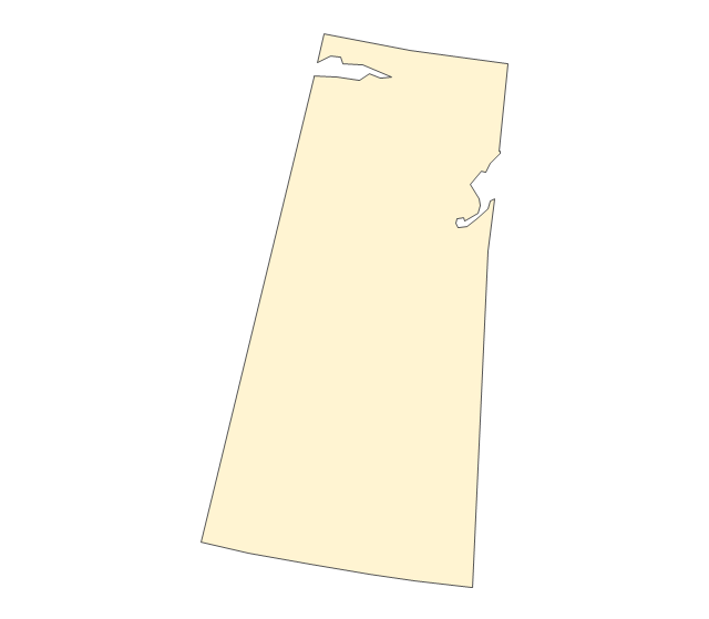
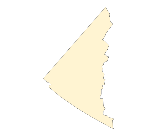
The vector stencils library "Canada" contains 15 map contours for drawing thematic maps of Canada. Use it for visual representation of geospatial information, statistics and quantitative data.
"The provinces and territories of Canada combine to make up the world's second-largest country by area. Originally three provinces of British North America, New Brunswick, Nova Scotia and the Province of Canada (which would become Ontario and Quebec) united to form the new nation. Since then, Canada's external borders have changed several times, and has grown from four initial provinces to ten provinces and three territories as of 1999. The ten provinces are Alberta, British Columbia, Manitoba, New Brunswick, Newfoundland and Labrador, Nova Scotia, Ontario, Prince Edward Island, Quebec, and Saskatchewan. The three territories are Northwest Territories, Nunavut, and Yukon." [Provinces and territories of Canada. Wikipedia]
The map contours example "Canada - Vector stencils library" was created using the ConceptDraw PRO diagramming and vector drawing software extended with the Continent Maps solution from the Maps area of ConceptDraw Solution Park.
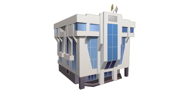
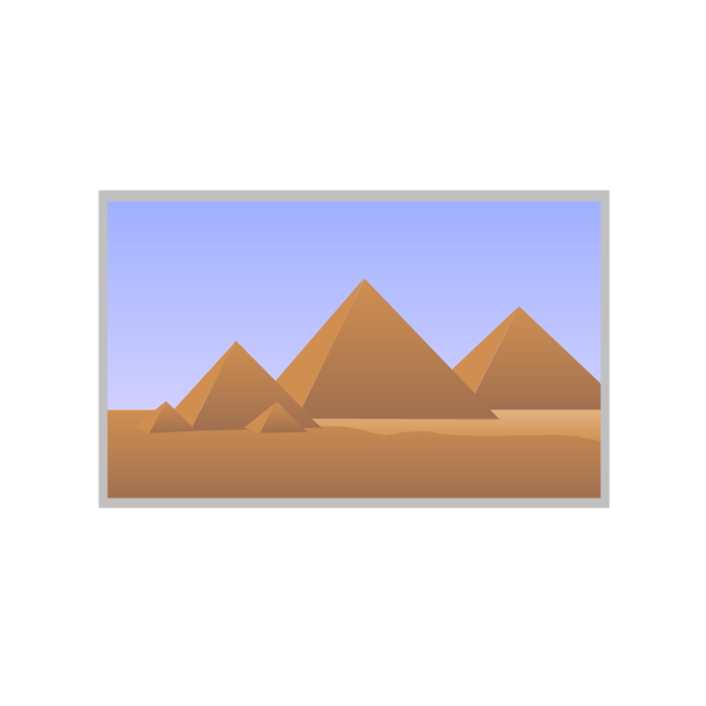
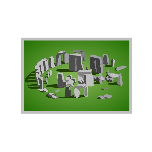
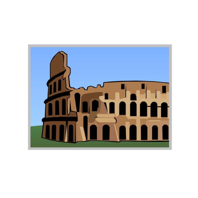
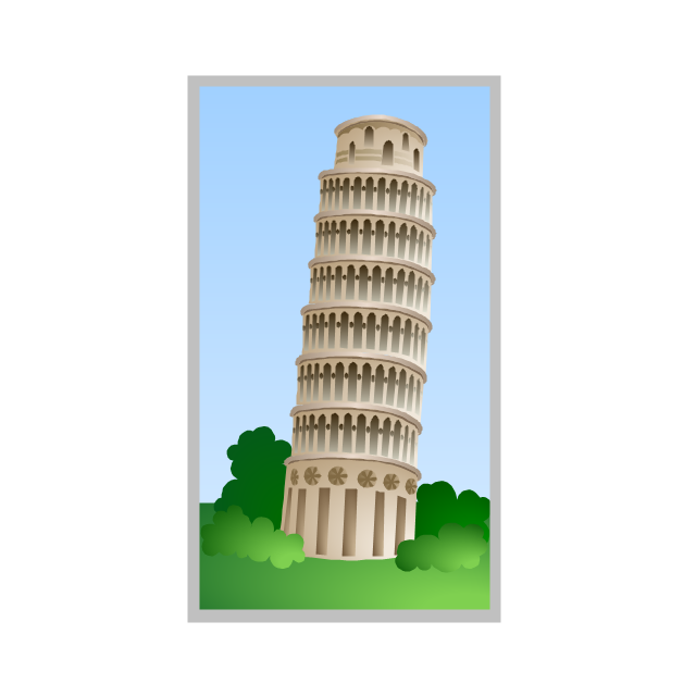
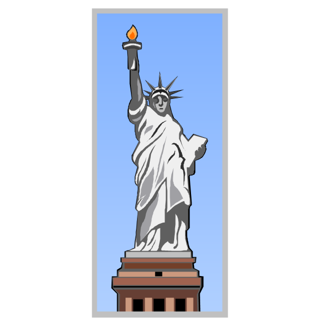
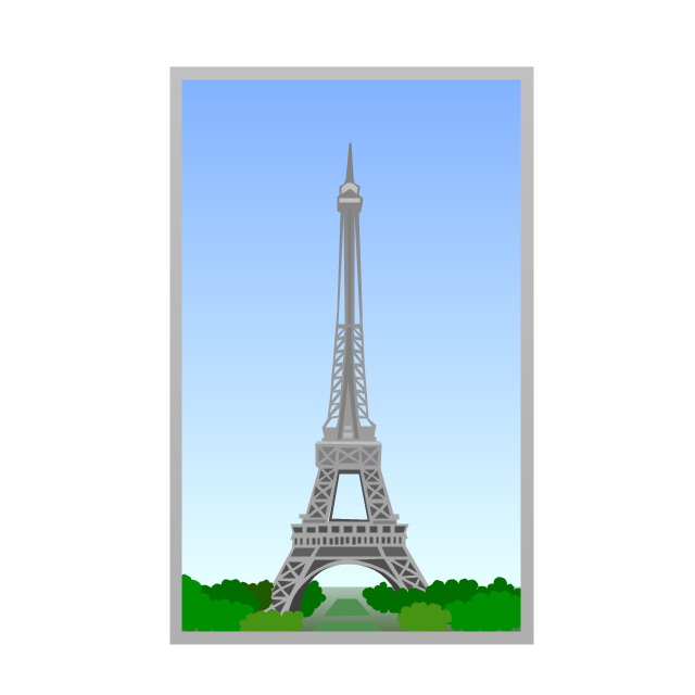
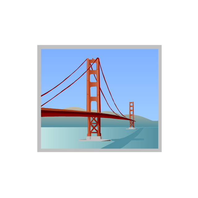
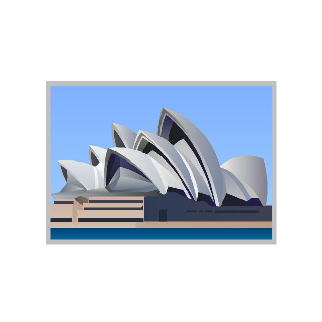
The vector stencils library "Architecture" contains 8 clipart images of some architecture monuments.
"In English the word "monumental" is often used in reference to something of extraordinary size and power, as in monumental sculpture, but also to mean simply anything made to commemorate the dead, as a funerary monument or other example of funerary art. ...
Monuments have been created for thousands of years, and they are often the most durable and famous symbols of ancient civilizations. ...
As societies became organized on a larger scale, so monuments so large as to be difficult to destroy and the Egyptian Pyramids, the Greek Parthenon, the Great Wall of China, Islamic Indian Taj Mahal or the Moai of Easter Island have become symbols of their civilizations. In more recent times, monumental structures such as the Statue of Liberty and Eiffel Tower have become iconic emblems of modern nation-states. The term monumentality relates to the symbolic status and physical presence of a monument." [Monument. Wikipedia]
The example "Architecture - Vector stencils library" was created using the ConceptDraw PRO diagramming and vector drawing software extended with the Artwork solution from the Illustration area of ConceptDraw Solution Park.
www.conceptdraw.com/ solution-park/ illustrations-artwork
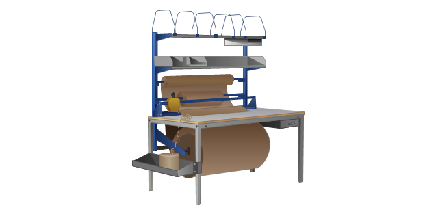
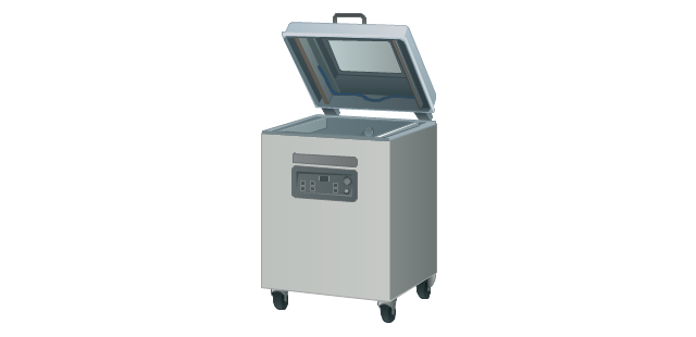
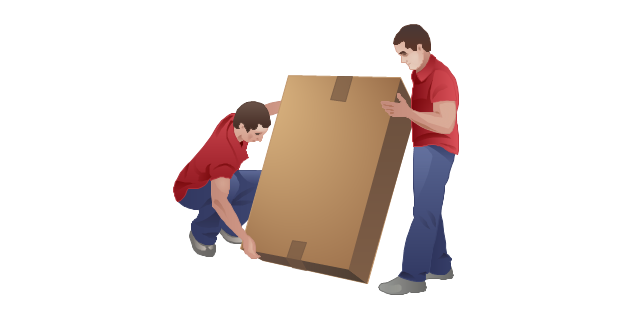
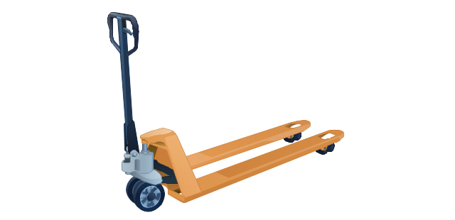
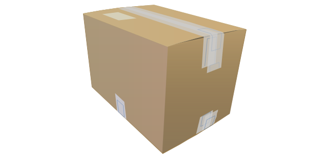
The vector stencils library "Packaging, loading, customs" contains 28 clipart images of packing materials and packaging equipment for drawing illustrations.
"Packaging is the technology of enclosing or protecting products for distribution, storage, sale, and use. Packaging also refers to the process of design, evaluation, and production of packages. Packaging can be described as a coordinated system of preparing goods for transport, warehousing, logistics, sale, and end use. Packaging contains, protects, preserves, transports, informs, and sells. In many countries it is fully integrated into government, business, institutional, industrial, and personal use." [Packaging and labeling. Wikipedia]
The clip art example "Packaging, loading, customs - Vector stencils library" was created in ConceptDraw PRO diagramming and vector drawing software using the Manufacturing and Maintenance solution from the Illustration area of ConceptDraw Solution Park.
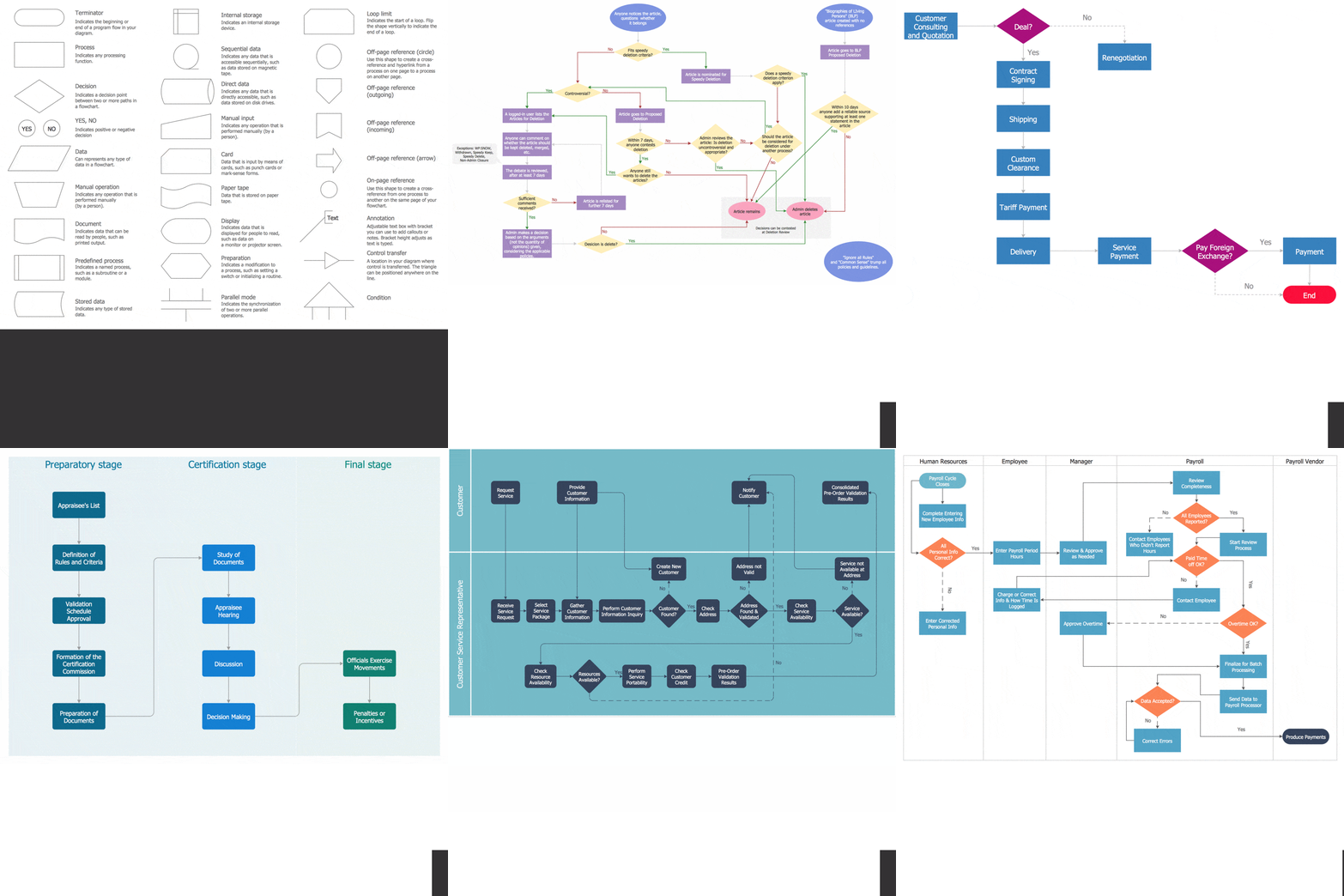
Flow Chart Diagram Examples
Draw your own business process flowcharts using ConceptDraw PRO diagramming and business graphics software.Australia Map — New South Wales
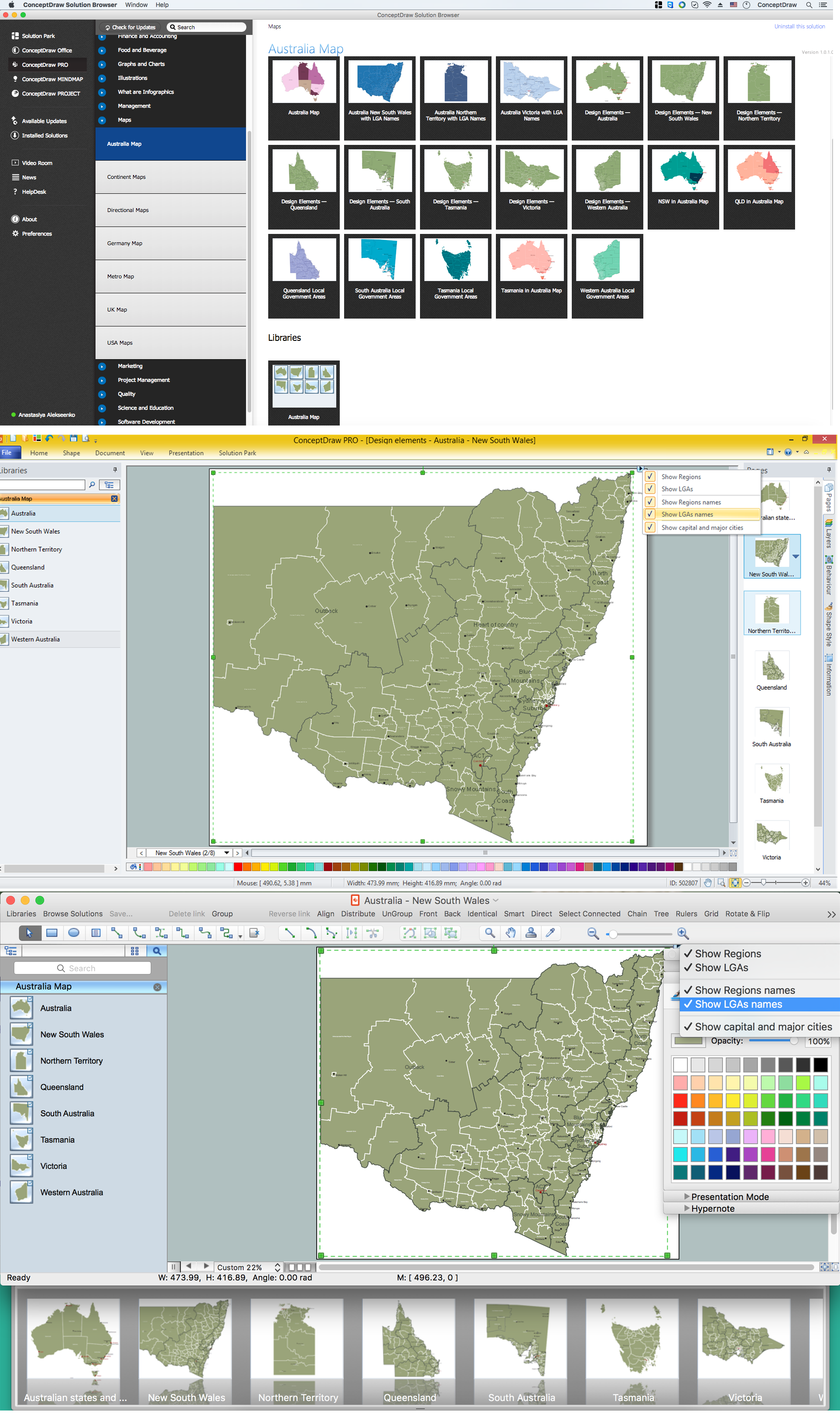
New South Wales (abbreviated as NSW) is a state on the east coast of Australia. Maps surround us everywhere in our life, study, work, traveling, they are widely used in geography, history, politics, economics, and many other fields of science and life activity. But designing of maps is usually complex and labor-intensive process. Now we have the possibility to make easier this process - ConceptDraw PRO diagramming and vector drawing software extended with Australia Map Solution from the Maps Area of ConceptDraw Solution Park will help us in easy drawing detailed Australia map.- Packaging, loading, customs - Vector stencils library | Harbour ...
- Industrial harbor | Packaging, loading, customs - Vector stencils ...
- Packaging, loading, customs - Vector stencils library | Manufacturing ...
- Canada - Vector stencils library
- Harbour Elements
- Packaging, loading, customs - Vector stencils library | Packaging ...
- Architecture - Vector stencils library
- Business People Figures | Professions - Vector stencils library ...
- Packaging, loading, customs - Vector stencils library | Diagram Of ...
- Road transport - Vector stencils library | Industrial transport - Vector ...
- Packaging, loading, customs - Vector stencils library | Flow chart ...
- Packaging, loading, customs - Vector stencils library | How to Create ...
- Packaging, loading, customs - Vector stencils library | Education ...
- Packaging, loading, customs - Vector stencils library | Example of ...
- Industrial vehicles - Vector stencils library | Industrial transport ...
- Marketing - Design Elements | Packaging, loading, customs - Vector ...
- Packaging, loading, customs - Vector stencils library | Interior Design ...
- Industrial transport - Vector stencils library | Transport pictograms ...
- Logistic Truck Vector Png
- Watercraft - Vector stencils library | Watercraft - Design Elements ...
-canada---vector-stencils-library.png--diagram-flowchart-example.png)
-packaging,-loading,-customs---vector-stencils-library.png--diagram-flowchart-example.png)
