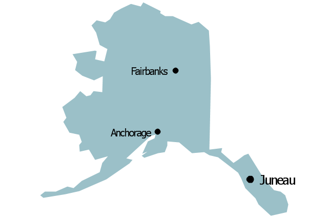
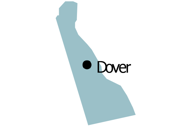
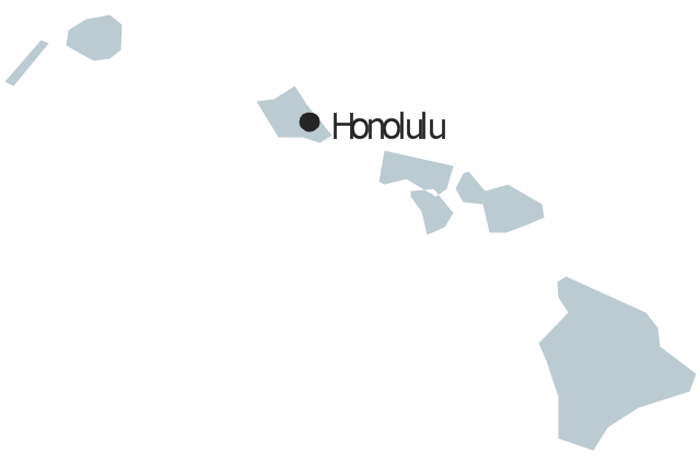
Geo Map - USA - Hawaii

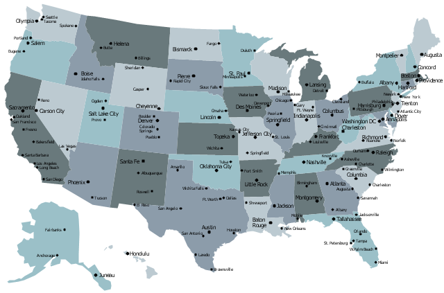
 USA Maps
Use the USA Maps solution to create a map of USA, a US interstate map, printable US maps, US maps with cities and US maps with capitals. Create a complete USA states map.
Geo Map — United States of America Map

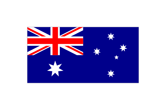
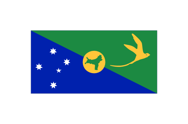
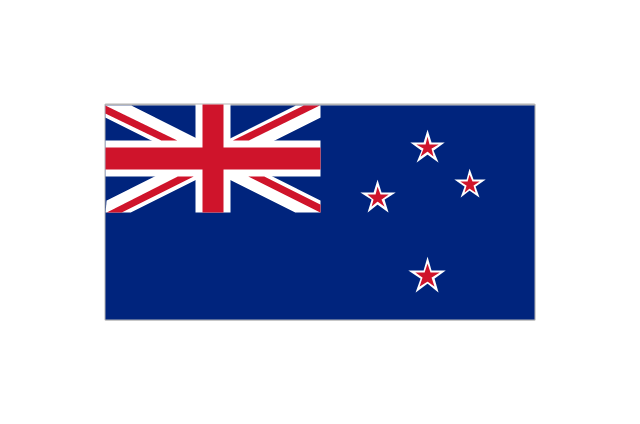
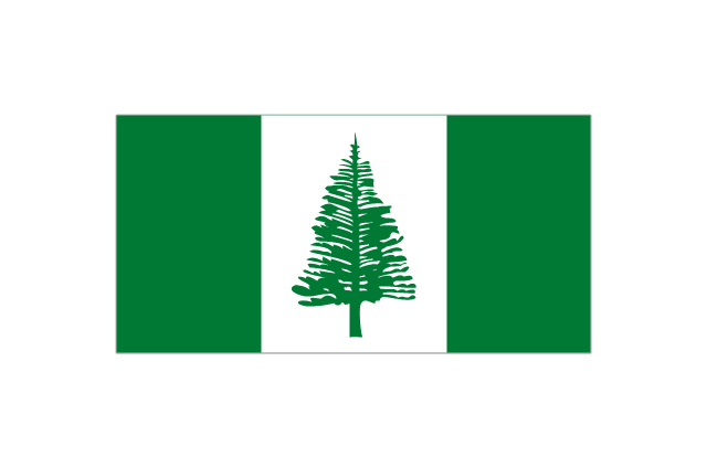
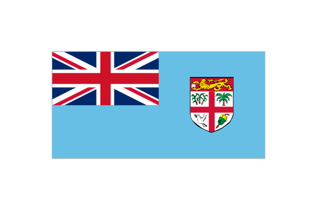
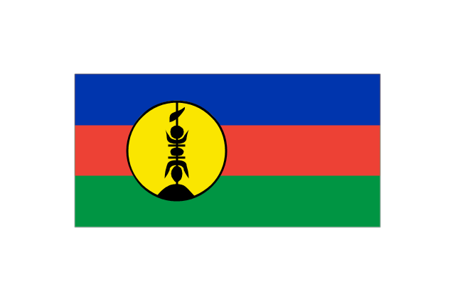
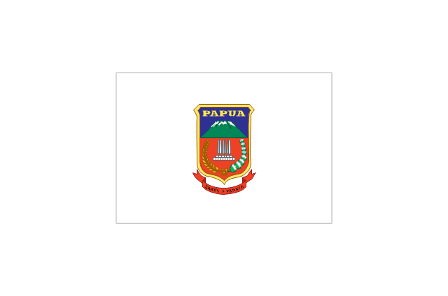
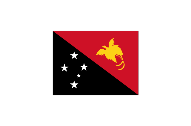
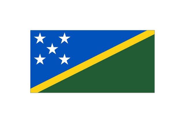
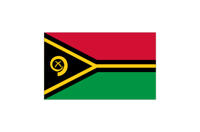
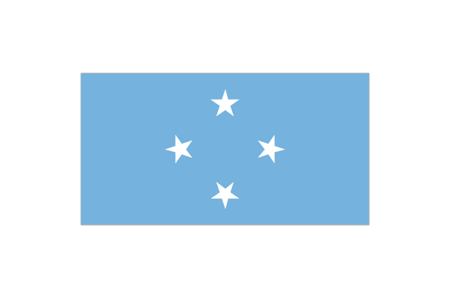
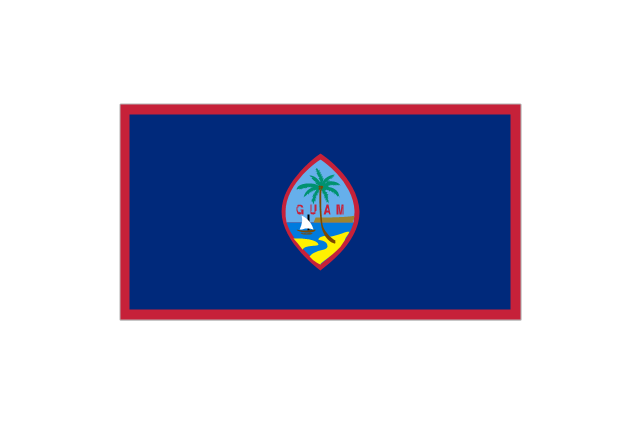
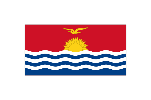
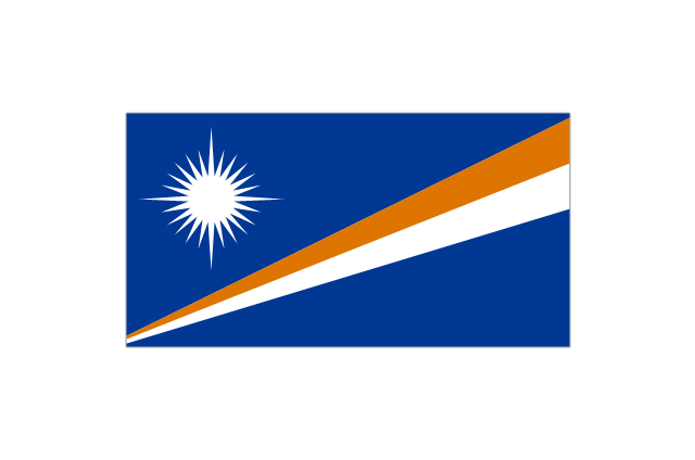
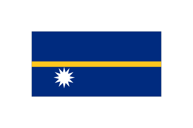
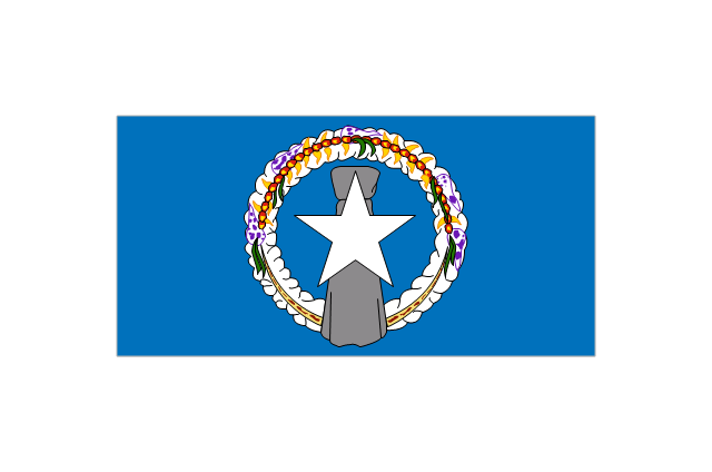
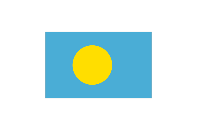
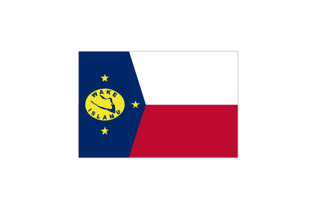
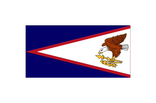
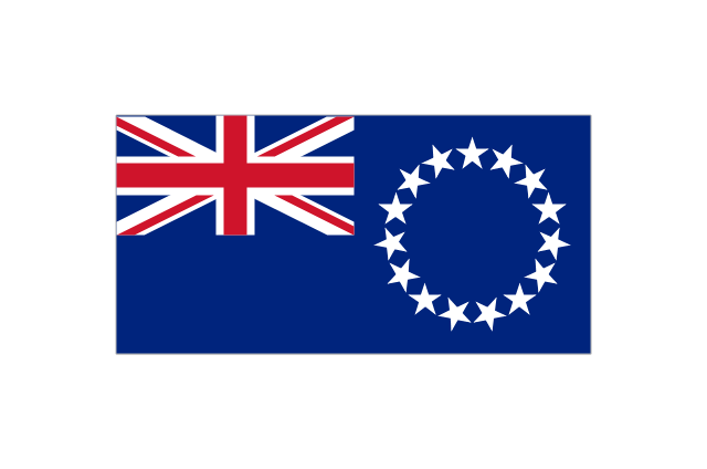
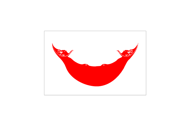
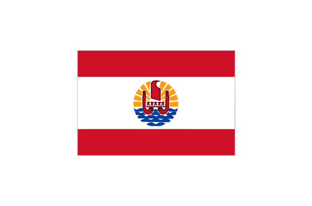
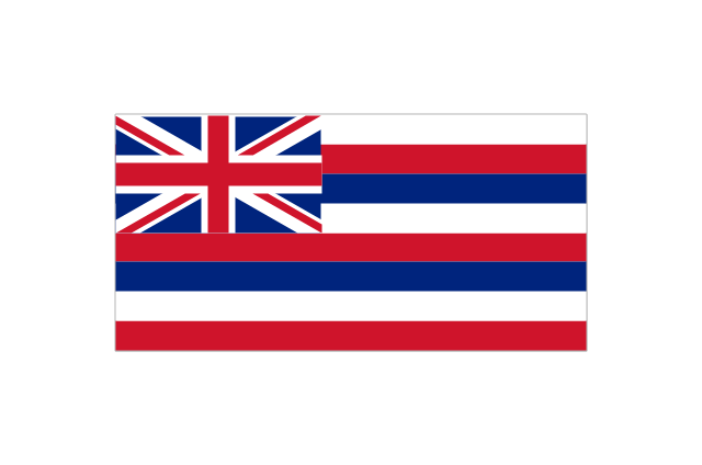
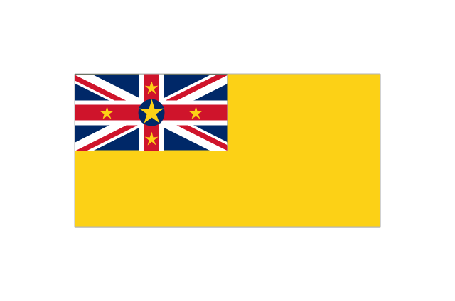
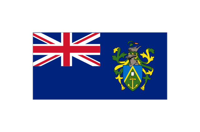
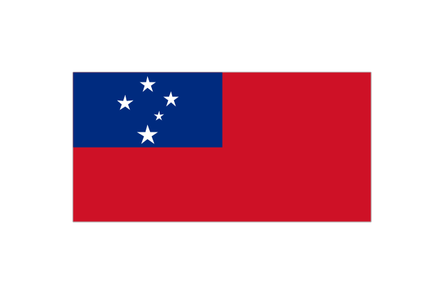
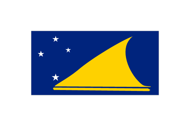
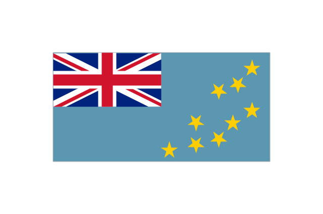
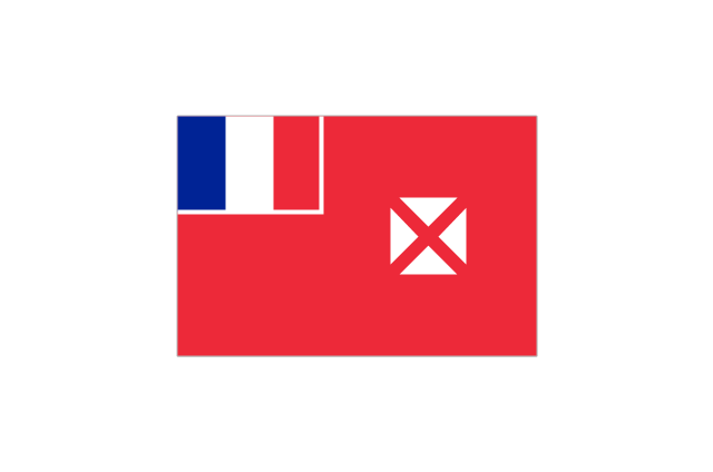
The vector stencils library "Oceania country flags" contains 31 clipart images of Oceanian state flags. Use the Oceania country flags clip art to illustrate your business documents, presentation slides, web pages, geo maps and infographics. The clip art example "Oceania country flags - Vector stencils library" was created using the ConceptDraw PRO diagramming and vector drawing software extended with the Artwork solution from the Illustration area of ConceptDraw Solution Park.
Australia
Christmas Island
Cocos (Keeling) Islands
-islands-oceania-flags---vector-stencils-library.png--diagram-flowchart-example.png)
New Zealand
Norfolk Island
Fiji
New Caledonia
Papua
Papua New Guinea
Solomon Islands
Vanuatu
Federated States of Micronesia
Guam
Kiribati
Marshall Islands
Nauru
Northern Mariana Islands
Palau
Wake Island
American Samoa
Cook Islands
Easter Island
French Polynesia
Hawaii
Niue
Pitcairn Islands
Samoa
Tokelau
Tonga

Tuvalu
Wallis and Futuna
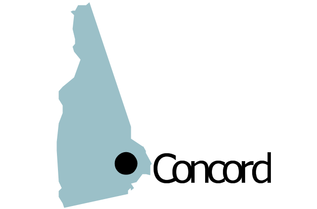
Geo Map - USA - New Hampshire

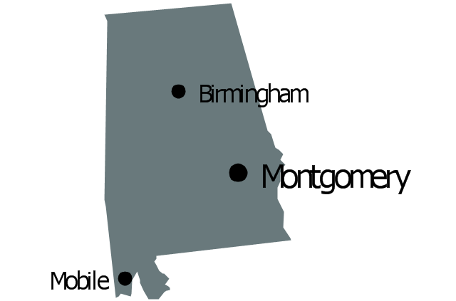
Geo Map - USA - Alabama

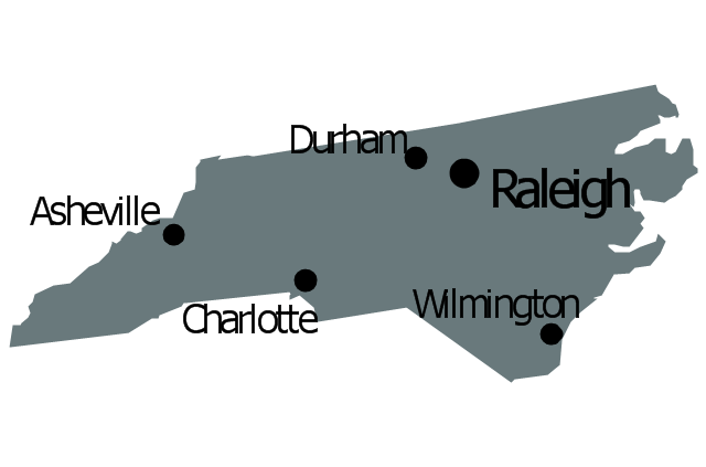
Geo Map - USA - North Carolina

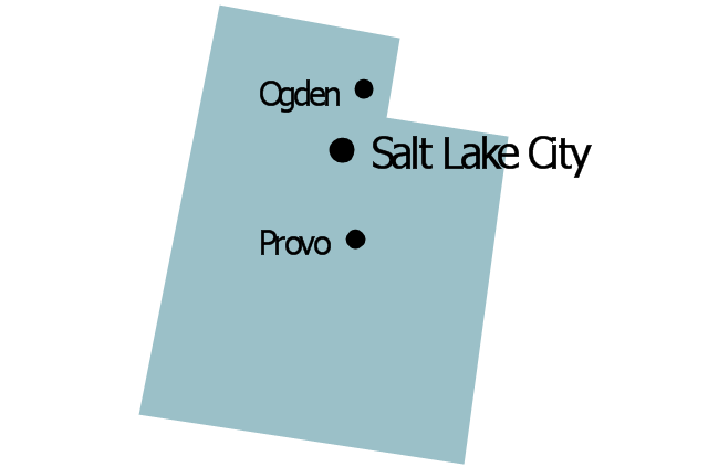
Geo Map - USA - Utah

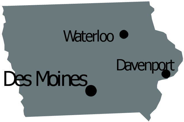
Geo Map - USA - Iowa

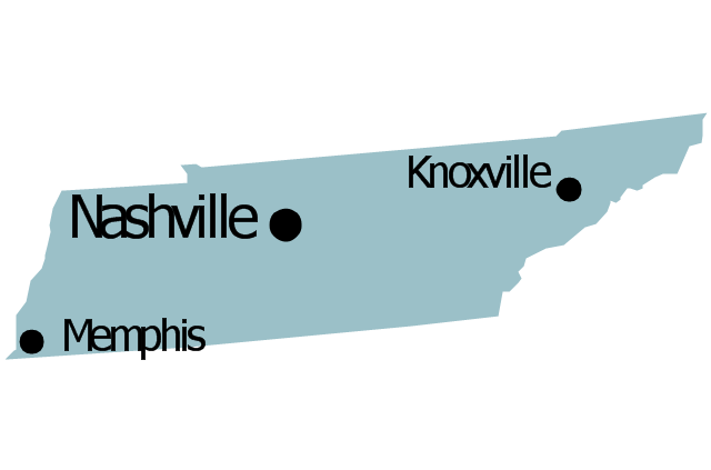
Geo Map - USA - Tennesse

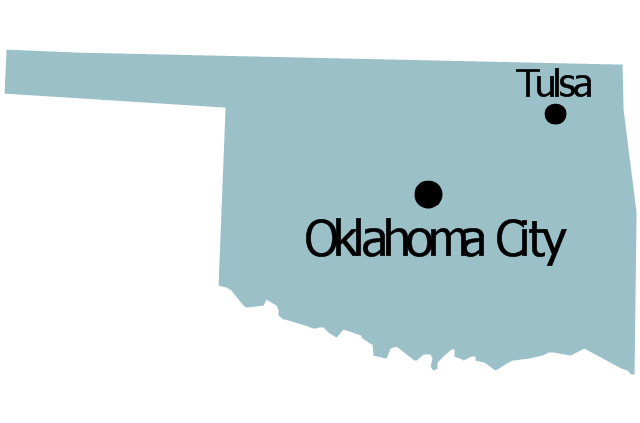
Geo Map — USA — Oklahoma

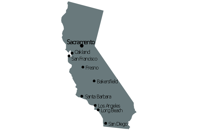
Geo Map - USA - California

The vector stencils library "United States of America" contains 53 state map contours for drawing thematic maps of USA.
Use it for visual representation of geospatial information, statistics and quantitative data.
The state map contours example "United States of America - Vector stencils library" was created using the ConceptDraw PRO diagramming and vector drawing software extended with the Continent Maps solution from the Maps area of ConceptDraw Solution Park.
USA (color)
-united-states-of-america---vector-stencils-library.png--diagram-flowchart-example.png)
USA

Alabama

Alaska

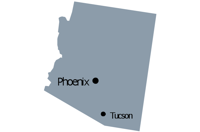
Arizona

Arkansas

California

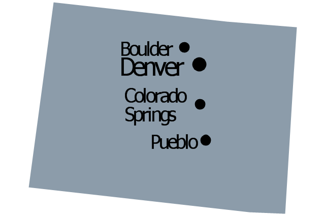
Colorado

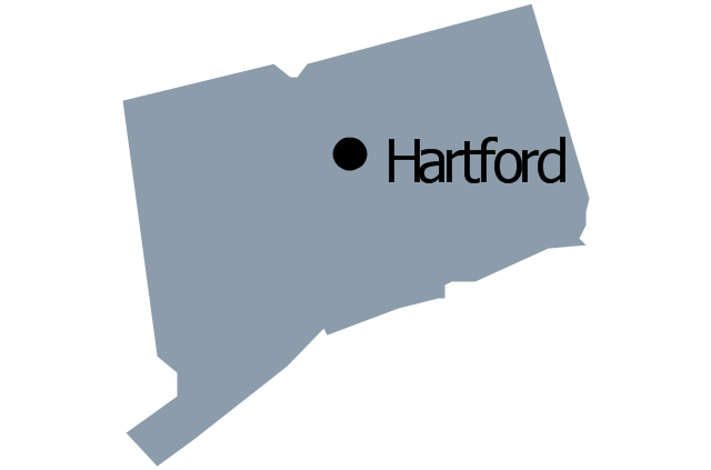
Connecticut

Delaware

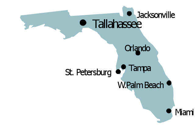
Florida

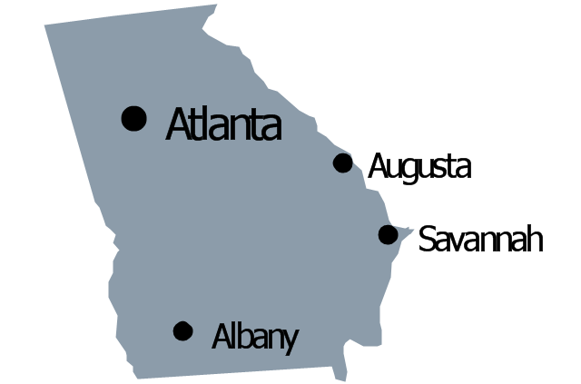
Georgia

Hawaii

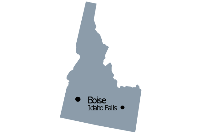
Idaho

Illinois

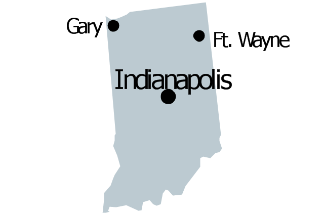
Indiana

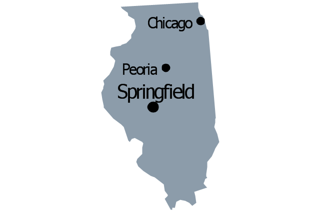
Iowa

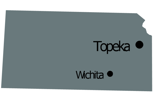
Kansas

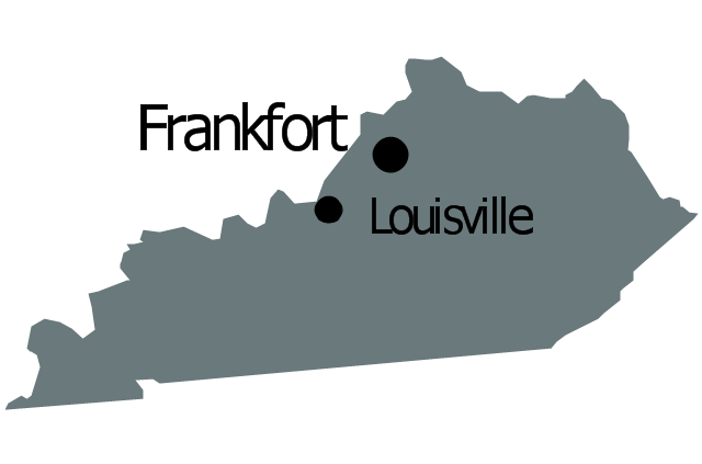
Kentucky

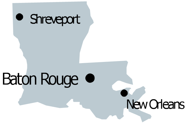
Louisiana

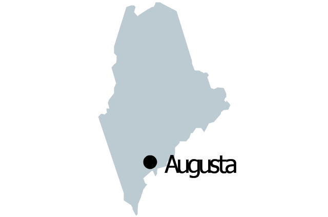
Maine

Maryland

Massachusetts

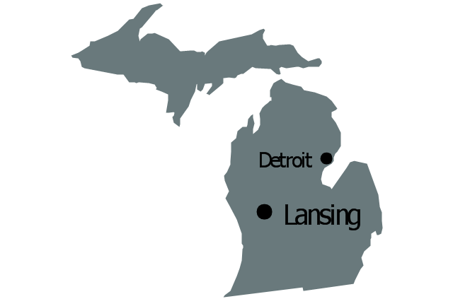
Michigan

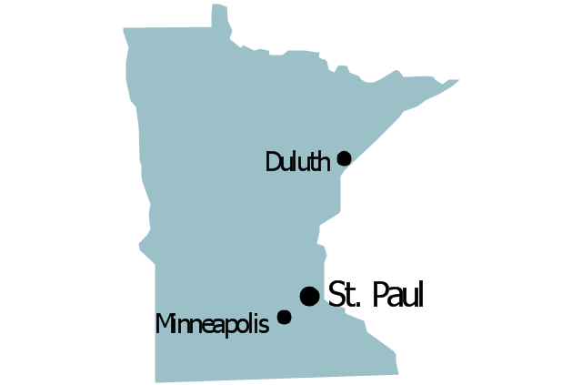
Minnesota

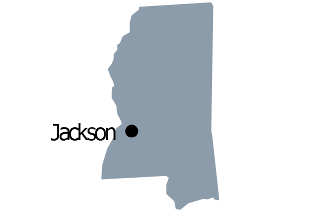
Mississippi

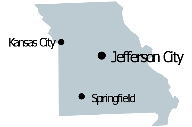
Missouri

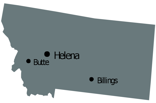
Montana

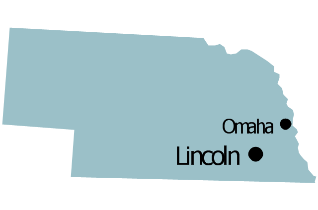
Nebraska

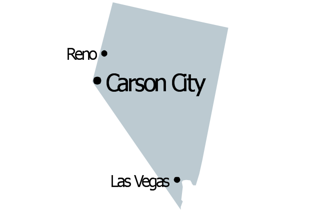
Nevada

New Hampshire

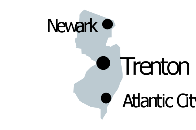
New Jersey

New York

New Mexico

North Dakota

North Carolina

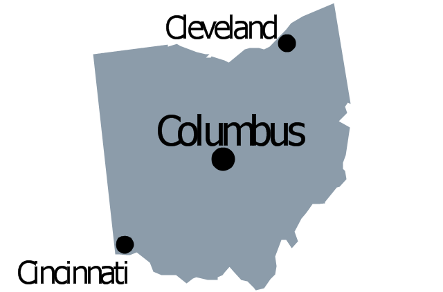
Ohio

Oklahoma

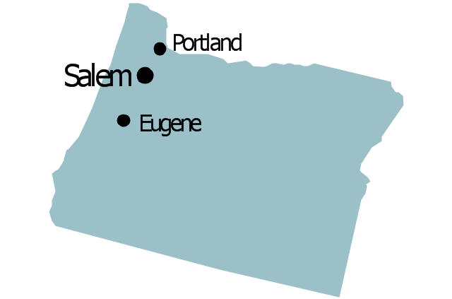
Oregon

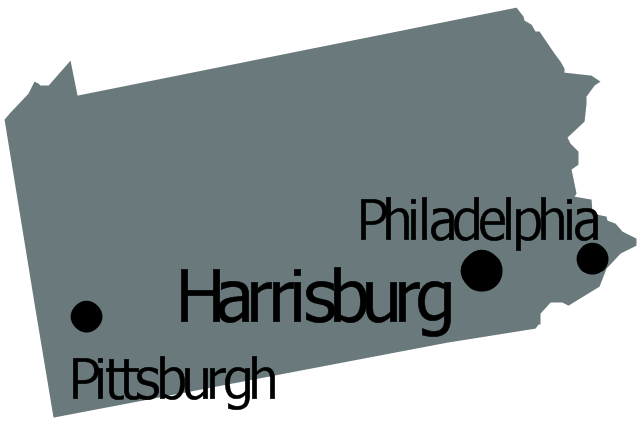
Pennsylvania

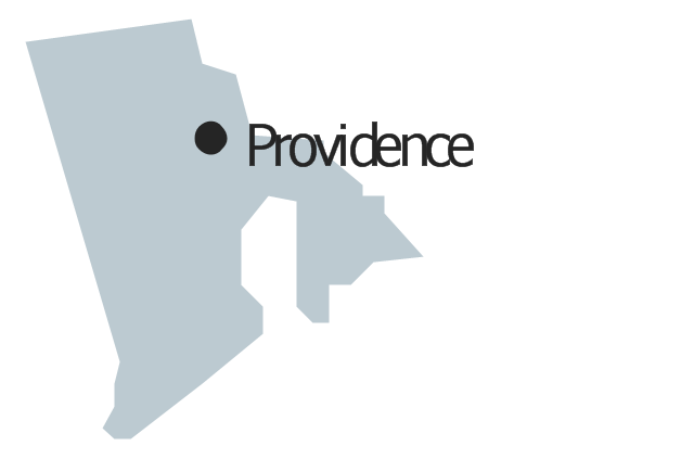
Rhode Island

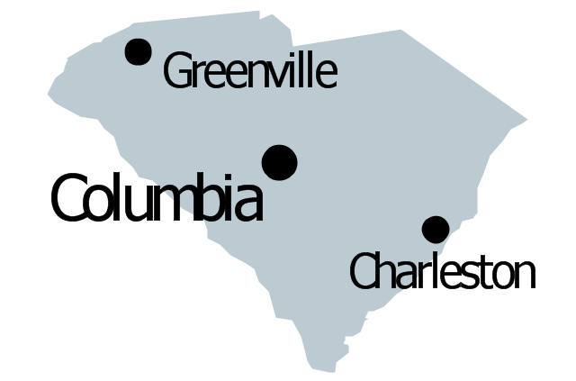
South Carolina

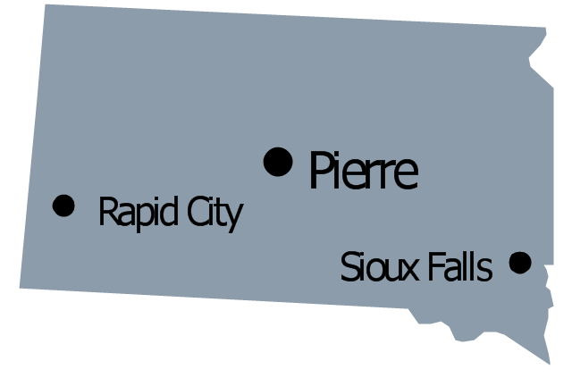
South Dakota

Tennessee

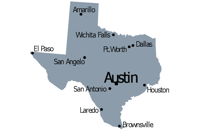
Texas

Utah

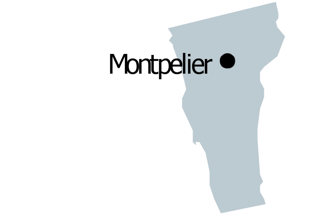
Vermont

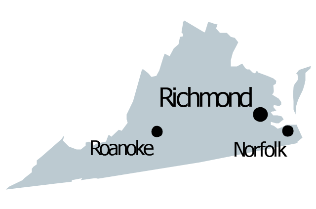
Virginia

Washington

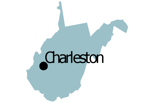
West Virginia

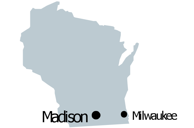
Wisconsin

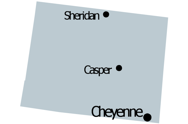
Wyoming

Great Lakes

The vector stencils library "North America" contains 70 contours for drawing thematic maps of North America in spatial infographics.
Use it for visual representation of geospatial information, statistics and quantitative data in the ConceptDraw PRO diagramming and vector drawing software extended with the Spatial Infographics solution from the area "What is Infographics" of ConceptDraw Solution Park.
Use it for visual representation of geospatial information, statistics and quantitative data in the ConceptDraw PRO diagramming and vector drawing software extended with the Spatial Infographics solution from the area "What is Infographics" of ConceptDraw Solution Park.
North America

Greenland (Denmark)
-north-america---vector-stencils-library.png--diagram-flowchart-example.png)
Canada

Canada (provinces and territories)
-north-america---vector-stencils-library.png--diagram-flowchart-example.png)
Alberta

British Columbia

Manitoba

New Brunswick

Newfoundland and Labrador

Northwest Territories

Nova Scotia

Nunavut

Ontario

Prince Edward Island

Quebec

Saskatchewan

Yukon

USA

US states

Alabama

Alaska

Arizona

Arkansas

California

Colorado

Connecticut

Delaware

Florida

Georgia

Hawaii

Idaho

Illinois

Indiana

Iowa

Kansas

Kentucky

Louisiana

Maine

Maryland

Massachusetts

Michigan

Minnesota

Mississippi

Missouri

Montana

Nebraska

Nevada

New Hampshire

New Jersey

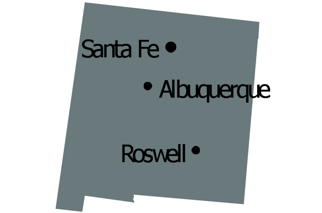
New Mexico

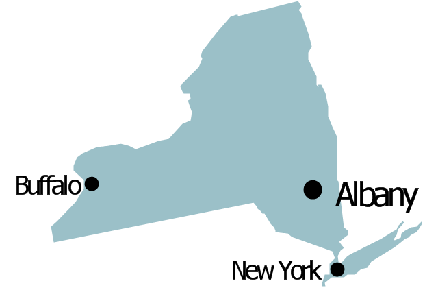
New York

North Carolina

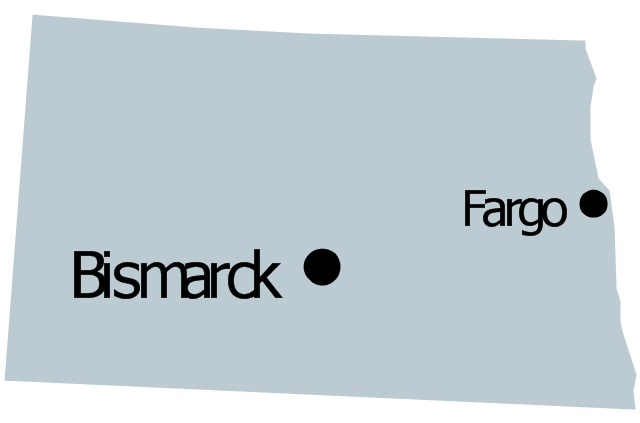
North Dakota

Ohio

Oklahoma

Oregon

Pennsylvania

Rhode Island

South Carolina

South Dakota

Tennessee

Texas

Utah

Vermont

Virginia

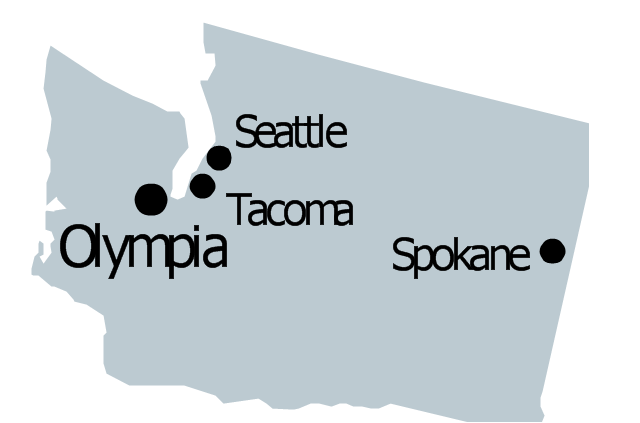
Washington

West Virginia

Wisconsin

Wyoming

Mexico

The vector stencils library "Management map US" contains 51 state map contours of US.
Use it to create your management infogram in the ConceptDraw PRO diagramming and vector drawing software.
The state map contours example "Management map US - Vector stencils library" is included in the solution "Marketing infographics" from the "Business infographics" area of ConceptDraw Solution Park.
United States of America
Alabama
Alaska
Arizona
Arkansas

California
Colorado
Connecticut
Delaware
Florida
Georgia
Hawaii
Idaho
Illinois
Indiana
Iowa
Kansas
Kentucky
Louisiana
Maine
Maryland

Massachusetts

Michigan
Minnesota
Mississippi
Missouri
Montana
Nebraska
Nevada
New Hampshire
New Jersey
New Mexico
New York
North Dakota
North Carolina
Ohio
Oklahoma
Oregon
Pennsylvania
Rhode Island
South Carolina
South Dakota
Tennessee
Texas
Utah
Vermont
Virginia
Washington
West Virginia
Wisconsin
Wyoming
- Oceania Flags Png
- Ohio Outline Png Colored
- North Carolina Png
- Cherry Vector Png
- Geo Map - USA - Hawaii | Geo Map - United States of America Map ...
- River Water Png
- Geo Map - United States of America Map | Continent Maps | Geo ...
- Oceania flags - Vector stencils library | Design elements - Oceania ...
- North Png
- Medical Infographics Png Vector
- Usa Political Map Png
- Indian Map Vector Png
- America States
- Geo Map - USA - Arkansas
- Oceania flags
- Indian Map Png
- North America Png
- Geo Map - Canada - Prince Edward Island | Geo Map - Australia ...
- India Map Vector With States Png
- Geo Map - United States of America Map | Map of USA States | How ...