Geo Map - USA - Connecticut
Connecticut is the southernmost state in the northeastern region of the United States known as New England. The vector stencils library Connecticut contains contours for ConceptDraw DIAGRAM diagramming and vector drawing software. This library is contained in the Continent Maps solution from Maps area of ConceptDraw Solution Park.Geo Map - USA - Massachusetts
Massachusetts, officially the Commonwealth of Massachusetts, is a state in the New England region of the northeastern United States. The vector stencils library Massachusetts contains contours for ConceptDraw DIAGRAM diagramming and vector drawing software. This library is contained in the Continent Maps solution from Maps area of ConceptDraw Solution Park.Geo Map - USA - Kentucky
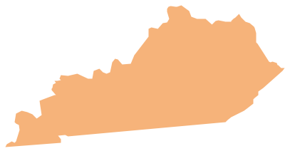
Kentucky, officially the Commonwealth of Kentucky, is a state located in the east south-central region of the United States. The vector stencils library Kentucky contains contours for ConceptDraw DIAGRAM diagramming and vector drawing software. This library is contained in the Continent Maps solution from Maps area of ConceptDraw Solution Park.Geo Map - USA - New York
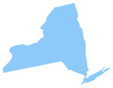
New York is a state in the Northeastern and Mid-Atlantic regions of the United States. The vector stencils library New York contains contours for ConceptDraw DIAGRAM diagramming and vector drawing software. This library is contained in the Continent Maps solution from Maps area of ConceptDraw Solution Park.
 Metro Map
Metro Map solution extends ConceptDraw DIAGRAM software with templates, samples and library of vector stencils for drawing the metro maps, route maps, bus and other transport schemes, or design tube-style infographics.
Geo Map - USA - Illinois
Illinois is a state in the Midwestern United States. It is the 5th most populous and 25th most extensive state, and is often noted as a microcosm of the entire country. The vector stencils library Illinois contains contours for ConceptDraw DIAGRAM diagramming and vector drawing software. This library is contained in the Continent Maps solution from Maps area of ConceptDraw Solution Park.Geo Map - USA - Maine
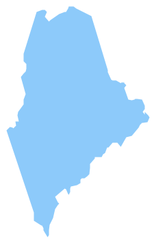
Maine is a state in the New England region of the northeastern United States, bordered by the Atlantic Ocean to the east and south; New Hampshire to the west; the Canadian provinces of Quebec to the northwest; and New Brunswick to the northeast. The vector stencils library Maine contains contours for ConceptDraw DIAGRAM diagramming and vector drawing software. This library is contained in the Continent Maps solution from Maps area of ConceptDraw Solution Park.Geo Map - USA - Georgia
Georgia is a state located in the southeastern United States. The vector stencils library Georgia contains contours for ConceptDraw DIAGRAM diagramming and vector drawing software. This library is contained in the Continent Maps solution from Maps area of ConceptDraw Solution Park.Geo Map - USA - New Mexico
New Mexico is a state located in the southwest and western regions of the United States. The vector stencils library New Mexico contains contours for ConceptDraw DIAGRAM diagramming and vector drawing software. This library is contained in the Continent Maps solution from Maps area of ConceptDraw Solution Park.
 USA Maps
Use the USA Maps solution to create a map of USA, a US interstate map, printable US maps, US maps with cities and US maps with capitals. Create a complete USA states map.
- How To Draw Arizona Map
- How To Draw The State Of Arizona
- Geo Map - Europe - Bulgaria | Geo Map - USA - Oregon | Geo Map ...
- Subway Train Map | How to draw Metro Map style infographics ...
- Design elements - 3D directional maps | How to draw Metro Map ...
- Rail transport - Design elements | How to draw Metro Map style ...
- How to draw Metro Map style infographics? Moscow, New York, Los ...
- New York State In Map To Draw
- Powerpoint Graphic Railway Map
- North America - Vector stencils library | Management map US ...
