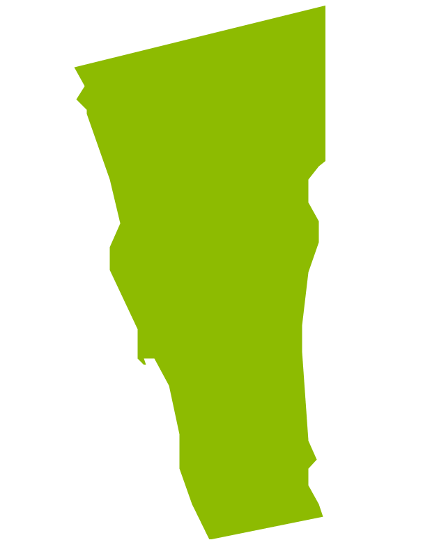
Geo Map - USA - Montana
Montana is a state in the Western United States.The vector stencils library Montana contains contours for ConceptDraw PRO diagramming and vector drawing software. This library is contained in the Continent Maps solution from Maps area of ConceptDraw Solution Park.
Geo Map - USA - North Dakota
North Dakota is the 39th state of the United States, having been admitted to the union on November 2, 1889.The vector stencils library North Dakota contains contours for ConceptDraw PRO diagramming and vector drawing software. This library is contained in the Continent Maps solution from Maps area of ConceptDraw Solution Park.
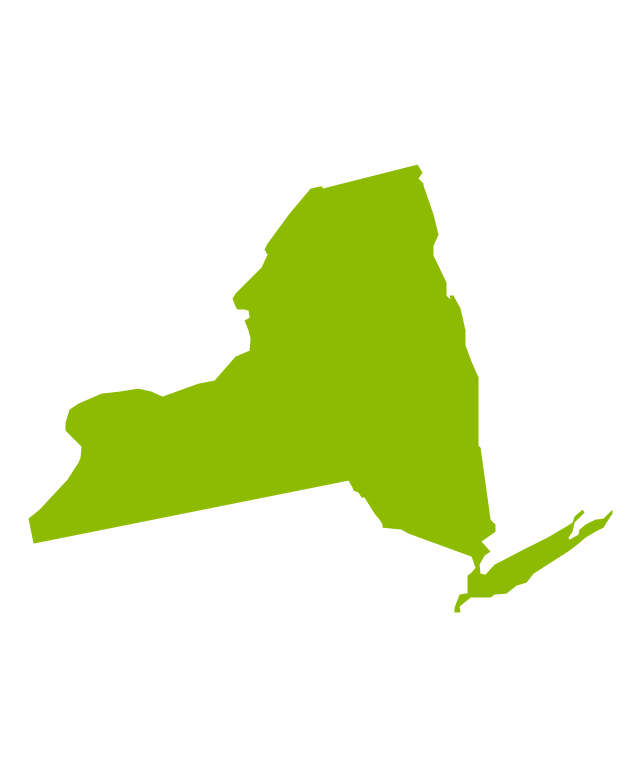
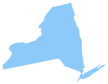
Geo Map - USA - New York
New York is a state in the Northeastern and Mid-Atlantic regions of the United States.The vector stencils library New York contains contours for ConceptDraw PRO diagramming and vector drawing software. This library is contained in the Continent Maps solution from Maps area of ConceptDraw Solution Park.
Geo Map - Canada - Saskatchewan
Saskatchewan is a prairie province in Canada, which has a total area of 651,900 square kilometres (251,700 sq mi) and a land area of 592,534 square kilometres (228,800 sq mi), the remainder being water area (covered by lakes/ponds, reservoirs and rivers).The vector stencils library Saskatchewan contains contours for ConceptDraw PRO diagramming and vector drawing software. This library is contained in the Continent Maps solution from Maps area of ConceptDraw Solution Park.
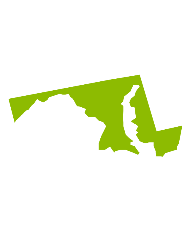
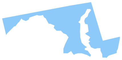
Geo Map - USA - Maryland
Maryland is a U.S. state located in the Mid-Atlantic region of the United States, bordering Virginia, West Virginia, and Washington, D.C. to its south and west; Pennsylvania to its north; and Delaware to its east.The vector stencils library Maryland contains contours for ConceptDraw PRO diagramming and vector drawing software. This library is contained in the Continent Maps solution from Maps area of ConceptDraw Solution Park.
Geo Map - USA - Utah
Utah is a state in the United States.The vector stencils library Utah contains contours for ConceptDraw PRO diagramming and vector drawing software. This library is contained in the Continent Maps solution from Maps area of ConceptDraw Solution Park.
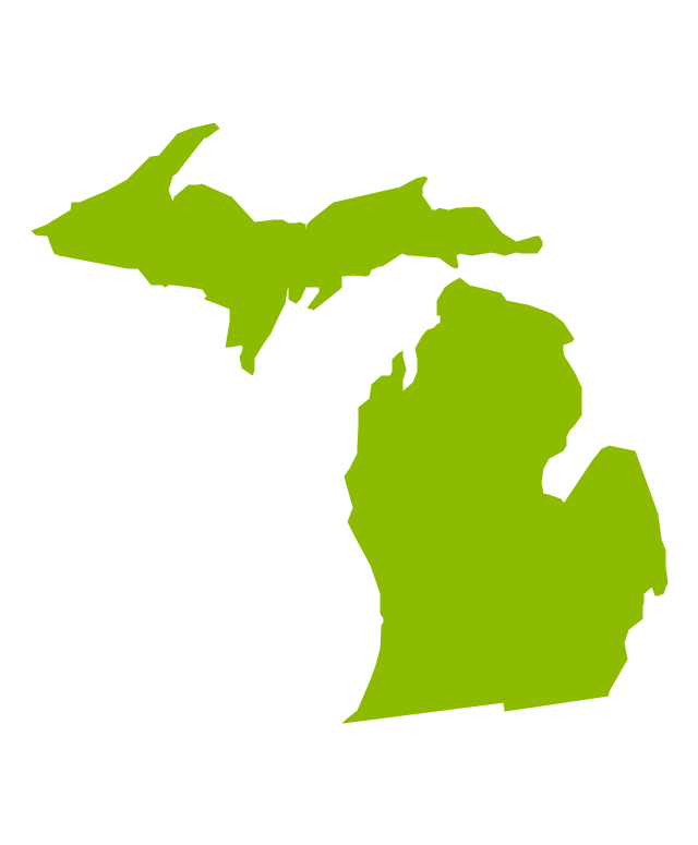
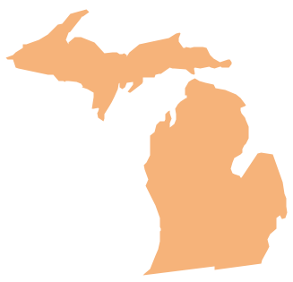
Geo Map - USA - Michigan
Michigan is a state in the Great Lakes region of the Midwestern United States.The vector stencils library Michigan contains contours for ConceptDraw PRO diagramming and vector drawing software. This library is contained in the Continent Maps solution from Maps area of ConceptDraw Solution Park.
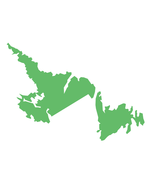
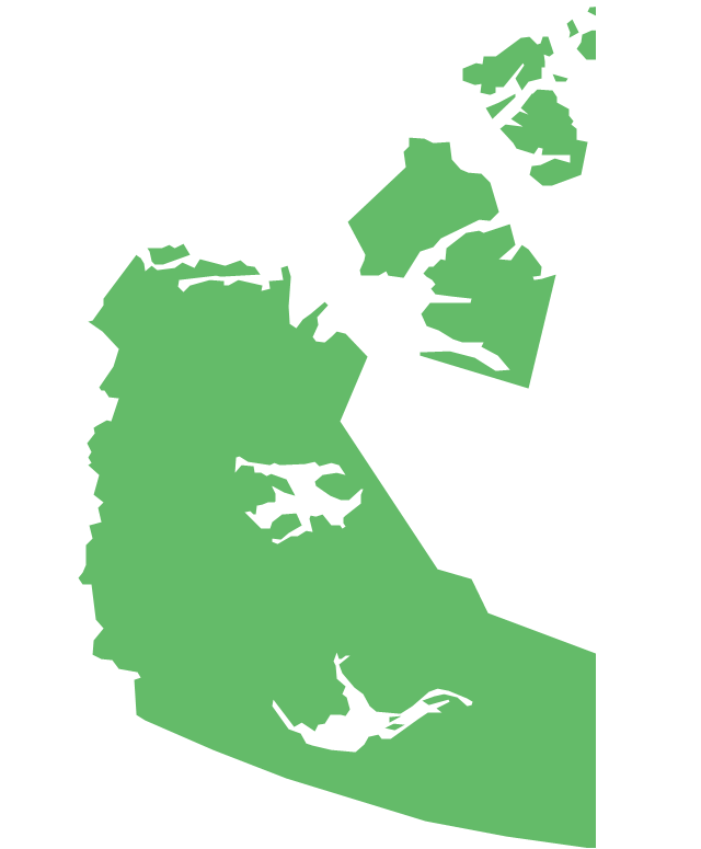
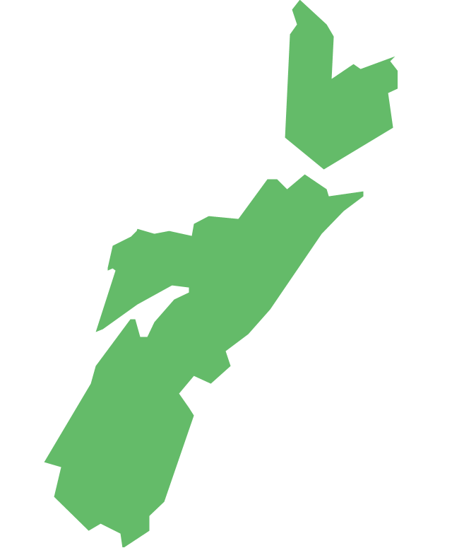
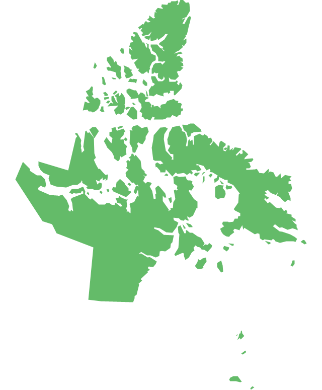
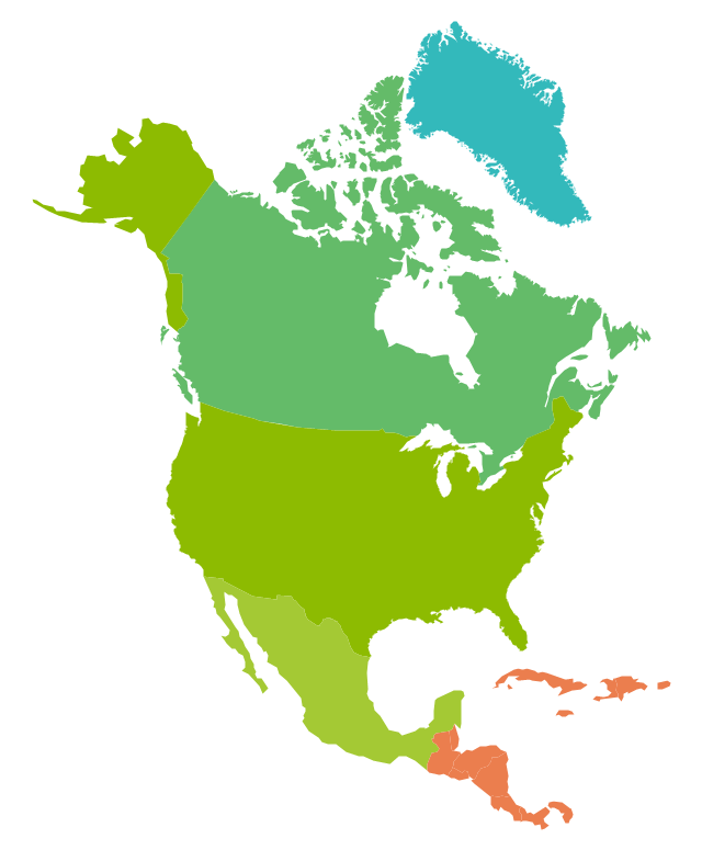
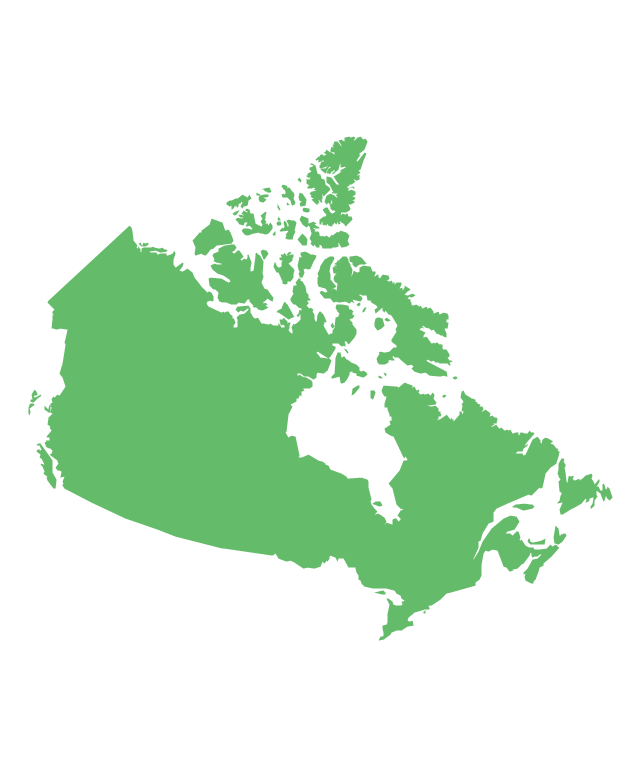
The vector stencils library "North America" contains 70 contours for drawing thematic maps of North America in spatial infographics.
Use it for visual representation of geospatial information, statistics and quantitative data in the ConceptDraw PRO diagramming and vector drawing software extended with the Spatial Infographics solution from the area "What is Infographics" of ConceptDraw Solution Park.
Use it for visual representation of geospatial information, statistics and quantitative data in the ConceptDraw PRO diagramming and vector drawing software extended with the Spatial Infographics solution from the area "What is Infographics" of ConceptDraw Solution Park.
Geo Map - USA - Connecticut
Connecticut is the southernmost state in the northeastern region of the United States known as New England.The vector stencils library Connecticut contains contours for ConceptDraw PRO diagramming and vector drawing software. This library is contained in the Continent Maps solution from Maps area of ConceptDraw Solution Park.
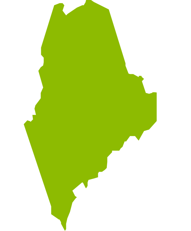
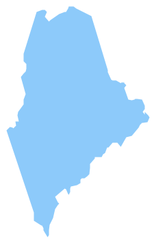
Geo Map - USA - Maine
Maine is a state in the New England region of the northeastern United States, bordered by the Atlantic Ocean to the east and south; New Hampshire to the west; the Canadian provinces of Quebec to the northwest; and New Brunswick to the northeast.The vector stencils library Maine contains contours for ConceptDraw PRO diagramming and vector drawing software. This library is contained in the Continent Maps solution from Maps area of ConceptDraw Solution Park.
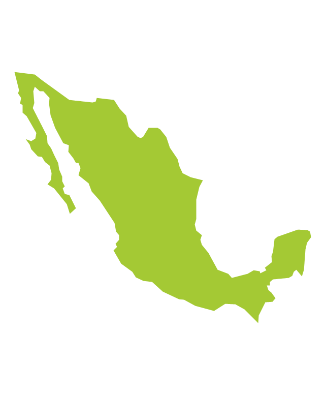
Geo Map - USA - Mexico
Mexico, officially the United Mexican States, is a federal republic in North America.The vector stencils library Mexico contains contours for ConceptDraw PRO diagramming and vector drawing software. This library is contained in the Continent Maps solution from Maps area of ConceptDraw Solution Park.
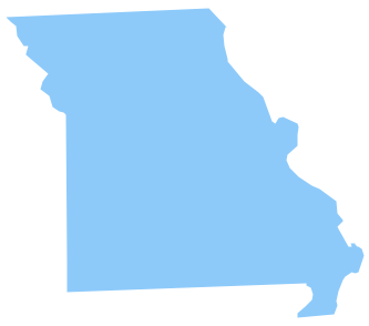
Geo Map - USA - Missouri
Missouri (see pronunciations) is a U.S. state located in the Midwestern United States.The vector stencils library Missouri contains contours for ConceptDraw PRO diagramming and vector drawing software. This library is contained in the Continent Maps solution from Maps area of ConceptDraw Solution Park.
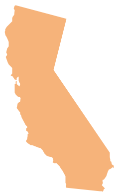
Geo Map - USA - California
California is a state located on the West Coast of the United States.The vector stencils library California contains contours for ConceptDraw PRO diagramming and vector drawing software. This library is contained in the Continent Maps solution from Maps area of ConceptDraw Solution Park.
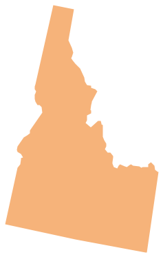
Geo Map - USA - Idaho
Idaho is a state in the northwestern region of the United States.The vector stencils library Idaho contains contours for ConceptDraw PRO diagramming and vector drawing software. This library is contained in the Continent Maps solution from Maps area of ConceptDraw Solution Park.
Geo Map - USA - Mississippi
Mississippi is a U.S. state located in the Southern United States.The vector stencils library Mississippi contains contours for ConceptDraw PRO diagramming and vector drawing software. This library is contained in the Continent Maps solution from Maps area of ConceptDraw Solution Park.
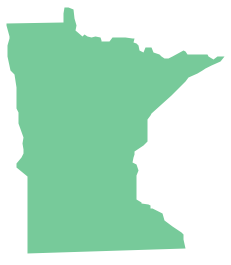
Geo Map - USA - Minnesota
Minnesota is a U.S. state in the Midwestern United States.The vector stencils library Minnesota contains contours for ConceptDraw PRO diagramming and vector drawing software. This library is contained in the Continent Maps solution from Maps area of ConceptDraw Solution Park.
Geo Map - USA - Indiana
Indiana is a U.S. state located in the midwestern and Great Lakes regions of North America.The vector stencils library Indiana contains contours for ConceptDraw PRO diagramming and vector drawing software. This library is contained in the Continent Maps solution from Maps area of ConceptDraw Solution Park.
Geo Map - USA - Nevada
Nevada is a state in the western, mountain west, and southwestern regions of the United States.The vector stencils library Nevada contains contours for ConceptDraw PRO diagramming and vector drawing software. This library is contained in the Continent Maps solution from Maps area of ConceptDraw Solution Park.
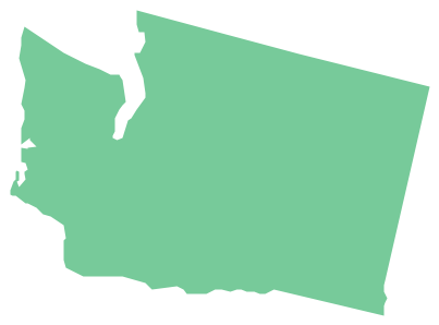
Geo Map - USA - Washington
Washington is a state in the Pacific Northwest region of the United States located north of Oregon, west of Idaho, and south of the Canadian province of British Columbia on the coast of the Pacific Ocean.The vector stencils library Washington contains contours for ConceptDraw PRO diagramming and vector drawing software. This library is contained in the Continent Maps solution from Maps area of ConceptDraw Solution Park.
Geo Map - USA - Oklahoma
Oklahom is a state located in the South Central United States.The vector stencils library Oklahoma contains contours for ConceptDraw PRO diagramming and vector drawing software. This library is contained in the Continent Maps solution from Maps area of ConceptDraw Solution Park.
- Process Flowchart | Geo Map - USA - Montana | Geo Map - Canada ...
- Drawing About Growing Population
- USA Maps | How to Draw a Map of North America Using ...
- Geo Map - United States of America Map | How to Draw a Map of ...
- Sector weightings - Exploded pie chart | Bar Diagrams for Problem ...
- Map of USA with state names
- Map Of United States With State Names
- Geo Map - United States of America Map | Map of USA with state ...
- How to Draw a Map of USA States Using ConceptDraw PRO | How ...
- Bar Diagrams for Problem Solving. Create economics and financial ...
- Geo Map
- Geo Map - United States of America Map
- State Map Of The United States Of America
- How to Draw a Map of USA States Using ConceptDraw PRO | Geo ...
- United States of America
- USA Maps
- Map Usa
- North America - Vector stencils library | Geo Map - South America ...
- World Population Infographics | Sample Pictorial Chart Sample ...
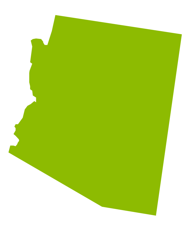
- How To Draw Arizona Map




-north-america---vector-stencils-library.png--diagram-flowchart-example.png)
-north-america---vector-stencils-library.png--diagram-flowchart-example.png)
