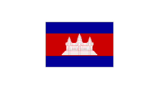
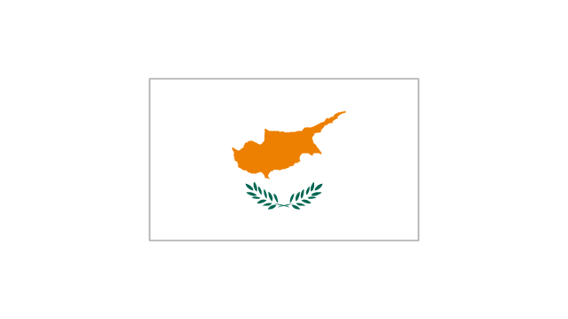
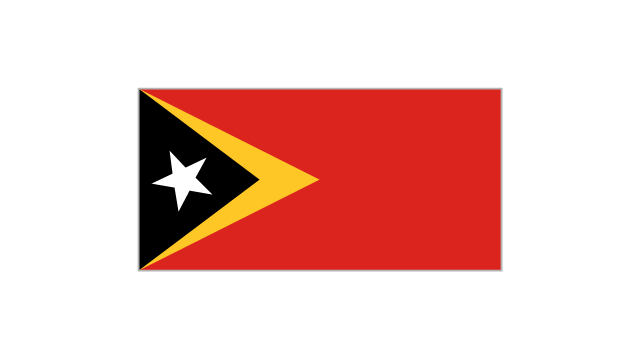
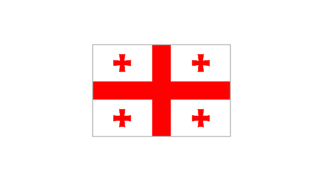
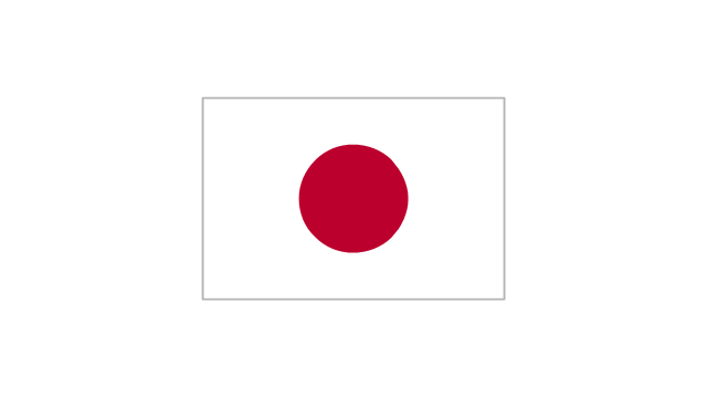
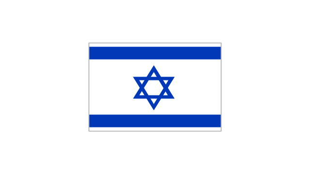
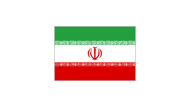
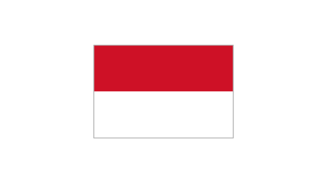
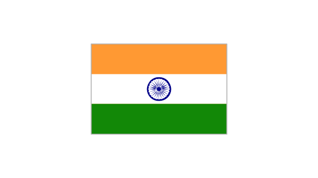
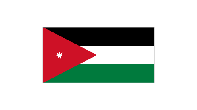
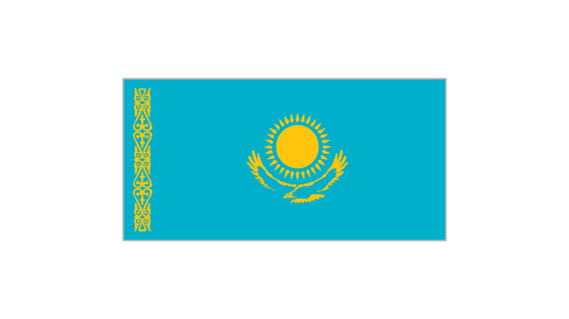
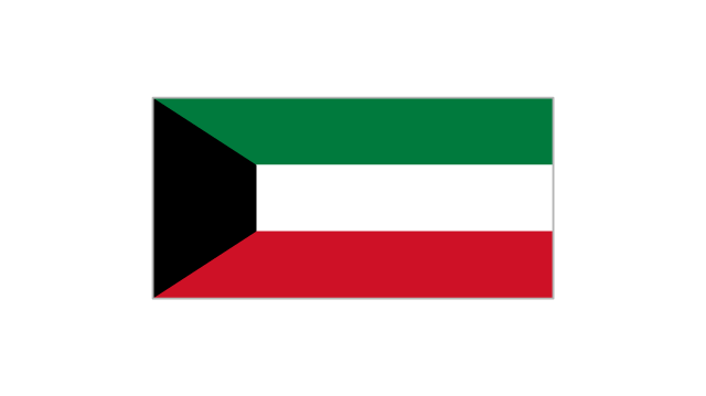
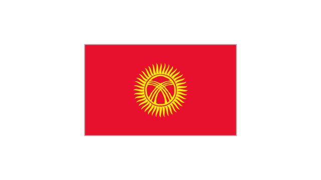
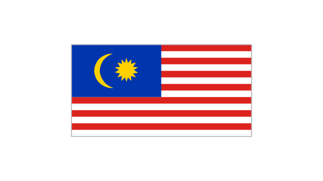
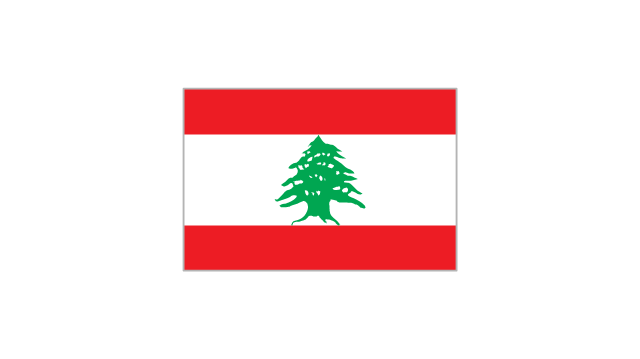
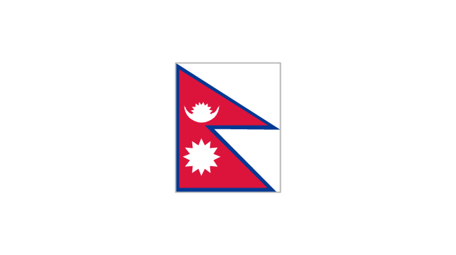
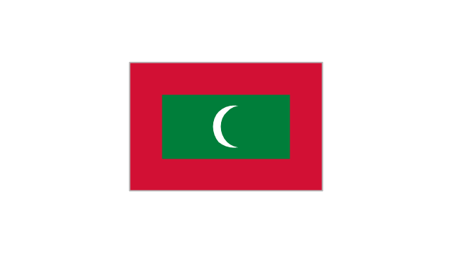
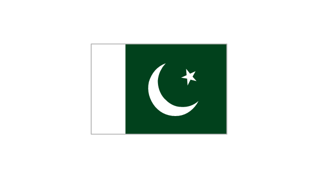
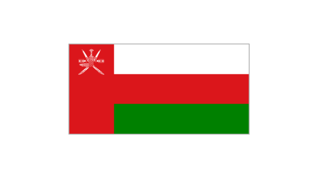
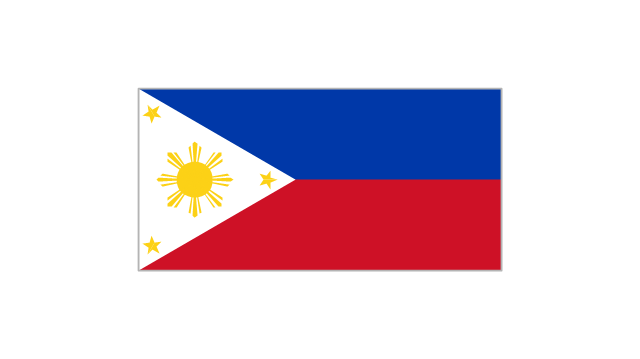
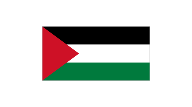
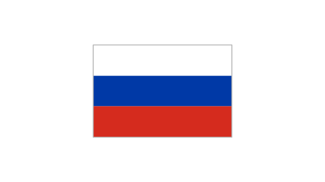
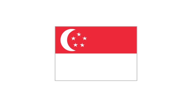
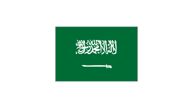
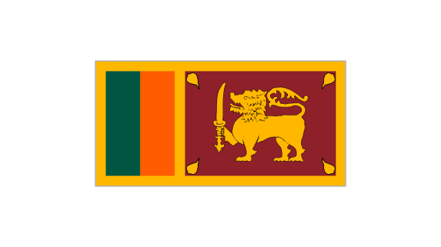
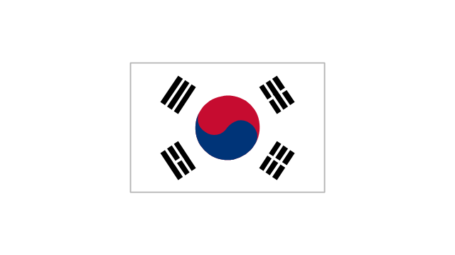
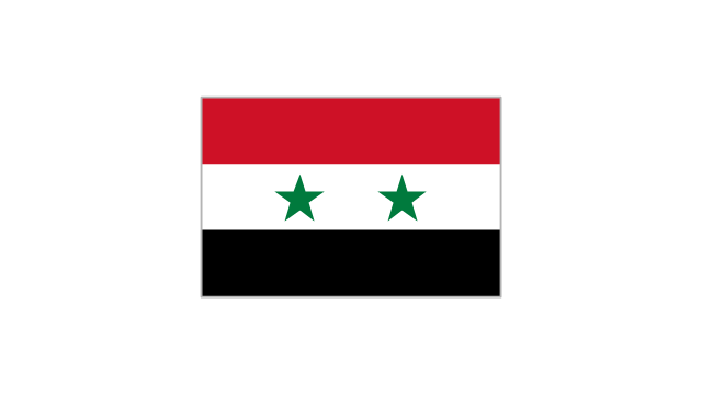
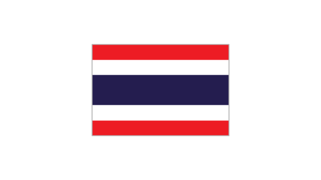
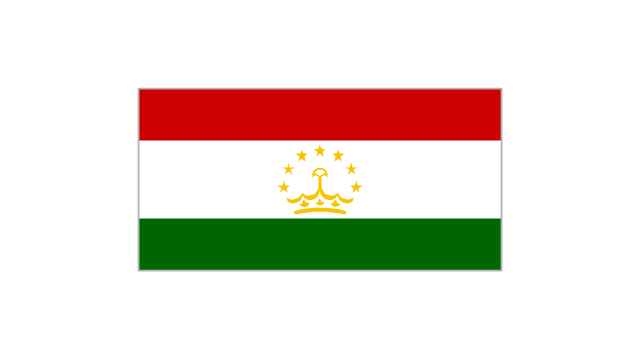
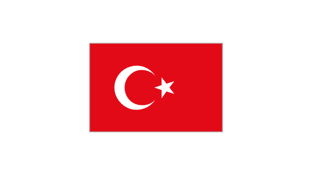
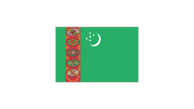
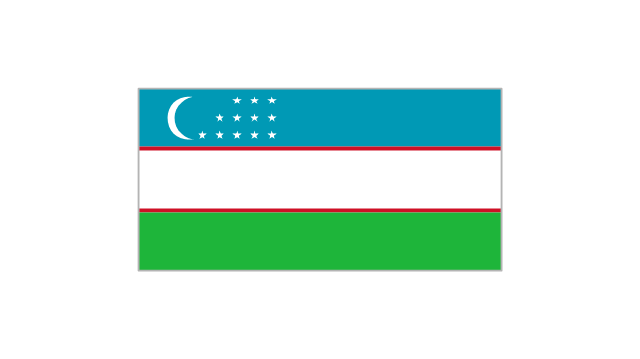
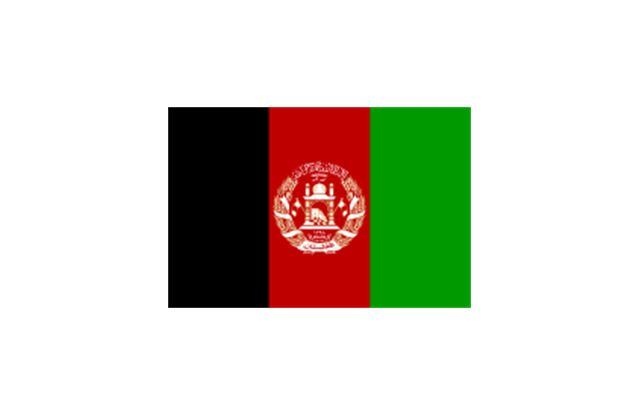
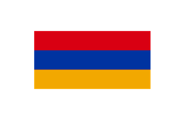
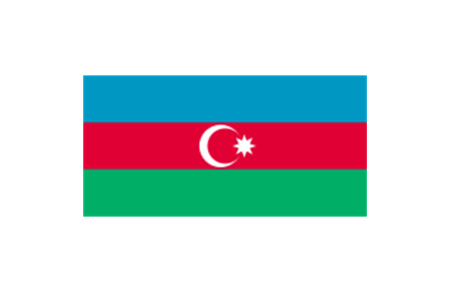
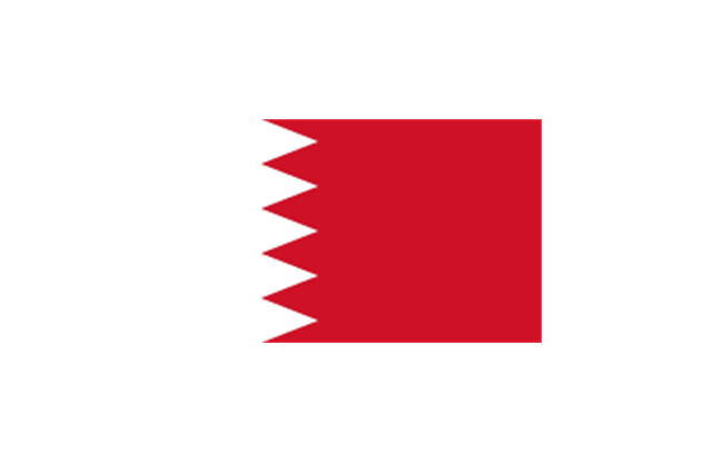
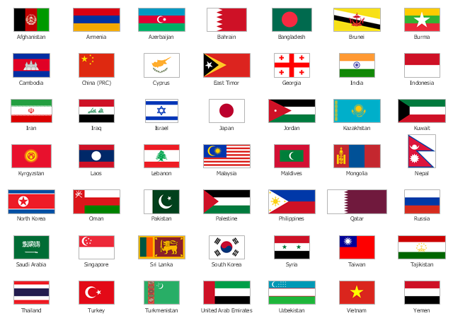
The stencils library "Asia flags" contains 49 clipart images of Asian state flags.
"... international and national flags used in Asia.
International: Flag of the Council of Europe, Flag of the Commonwealth of Independent States, Flag of the Organization of the Islamic Conference, Flag of the Organization of the Petroleum Exporting Countries, Flag of the Cooperation Council for the Arab States of the Gulf.
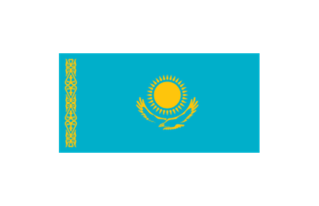
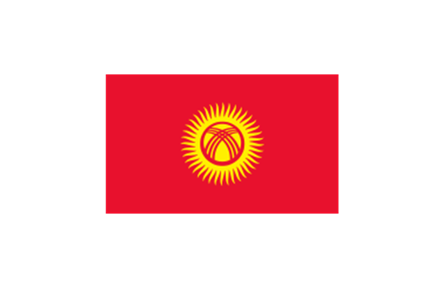
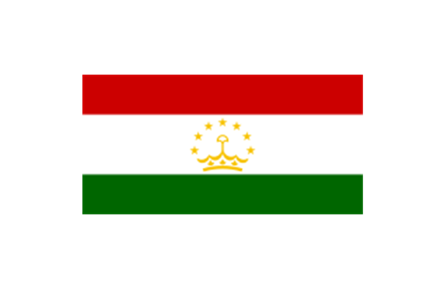
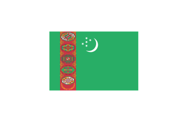
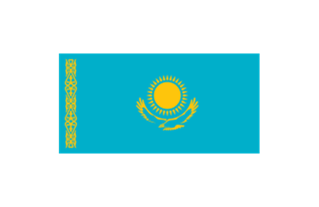
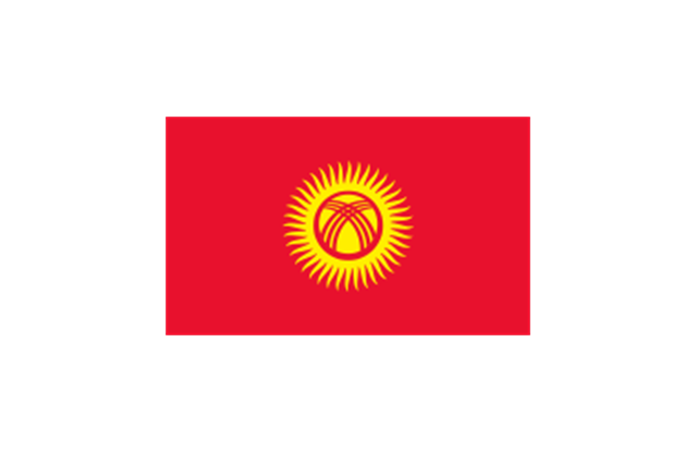
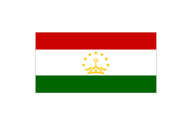
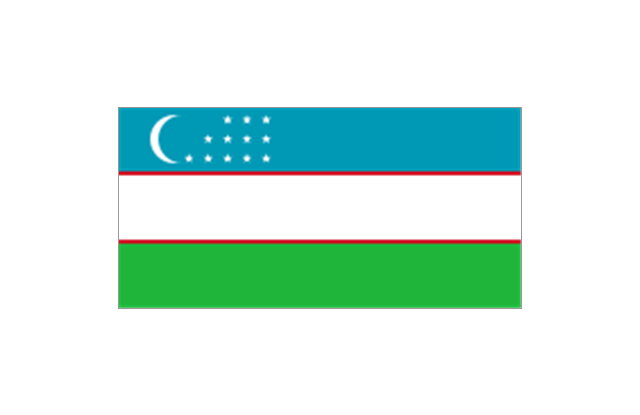
Central Asia: Flag of Kazakhstan, Flag of Kyrgyzstan, Flag of Tajikistan, Flag of Turkmenistan, Flag of Uzbekistan.
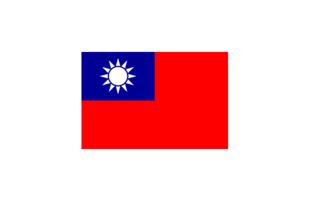
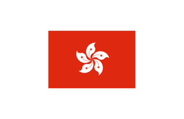
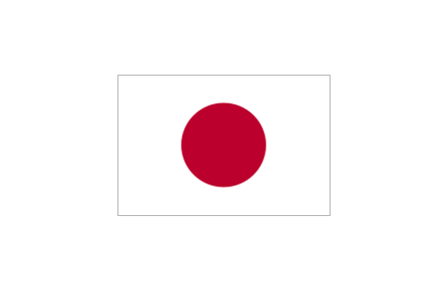
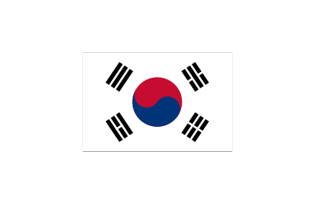
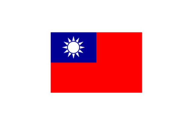
Eastern Asia: Flag of the People's Republic of China, Flag of Hong Kong (China), Flag of Japan, Flag of North Korea, Flag of South Korea, Flag of Macau (China), Flag of Mongolia, Flag of the Republic of China (Taiwan).
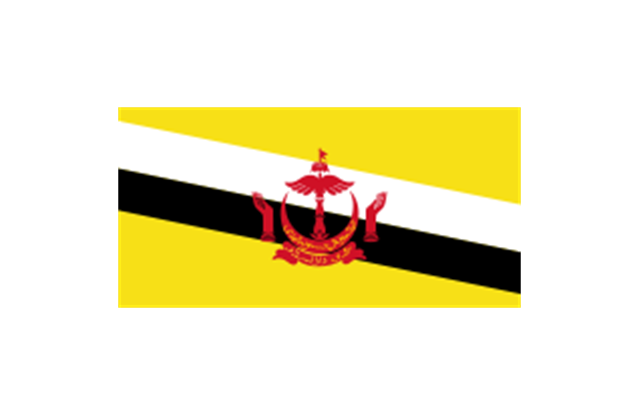
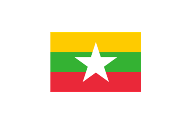
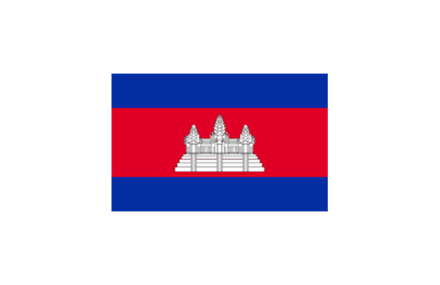
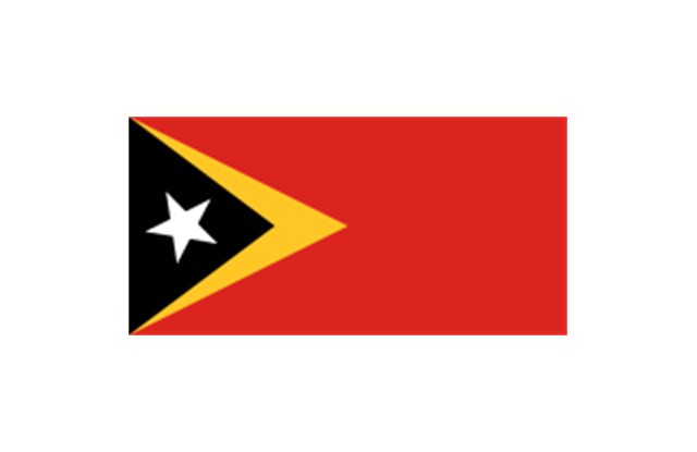
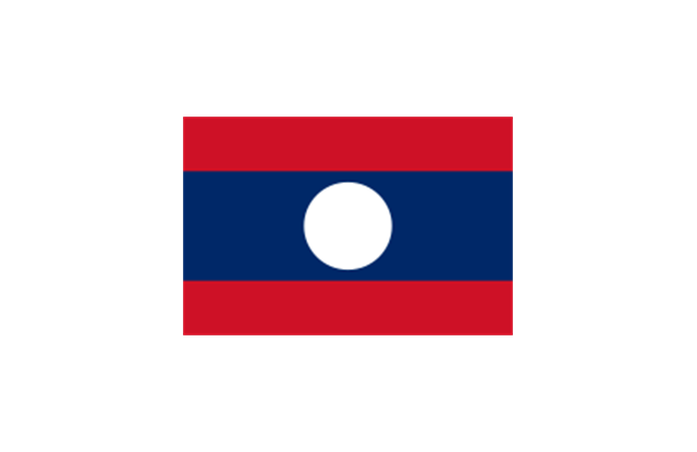
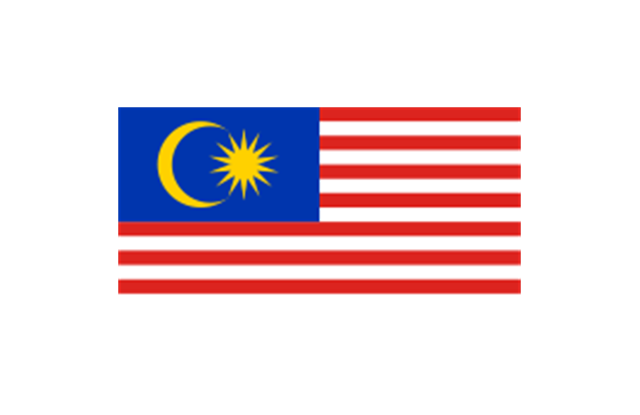
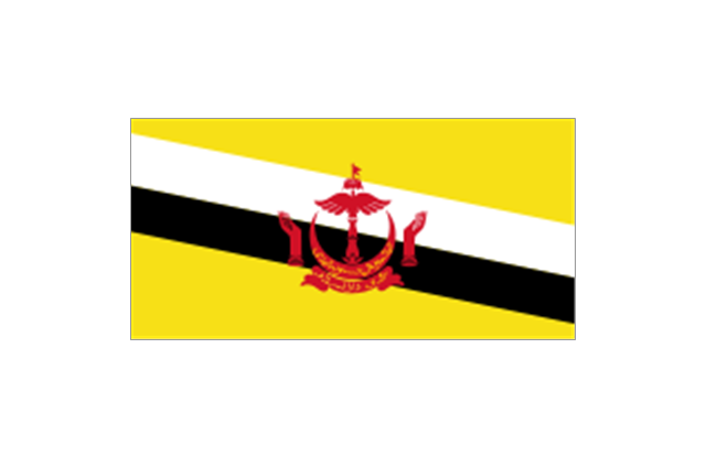
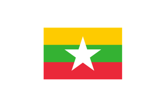
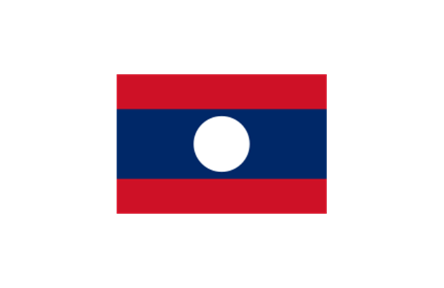
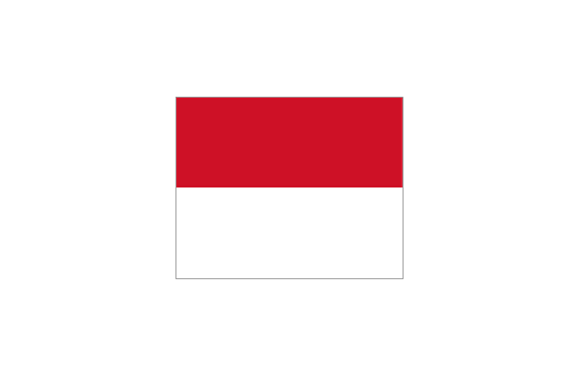
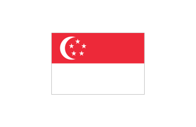
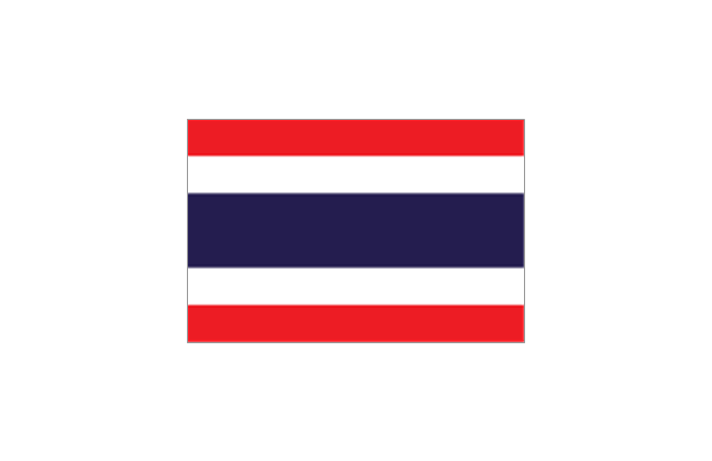
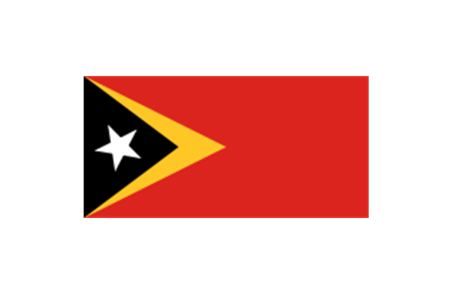
Southeast Asia: Flag of Brunei, Flag of Burma, Flag of Cambodia, Flag of Christmas Island (Australia), Flag of the Cocos (Keeling) Islands (Australia), Flag of East Timor, Flag of Indonesia, Flag of Laos, Flag of Malaysia, Flag of the Philippines, Flag of Singapore, Flag of Thailand, Flag of Vietnam.
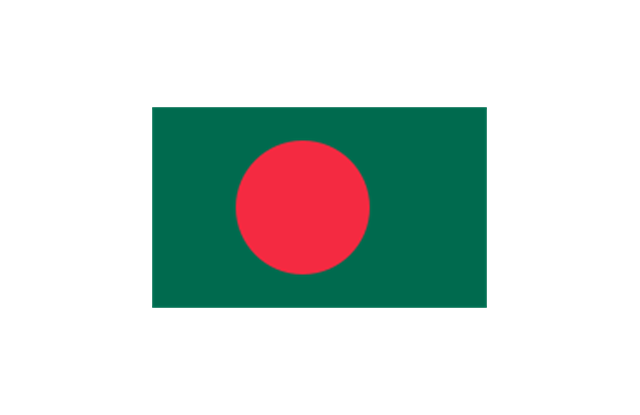
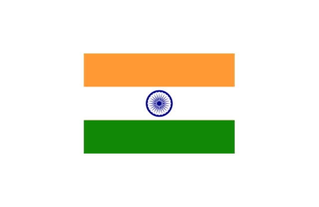
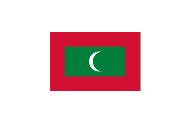
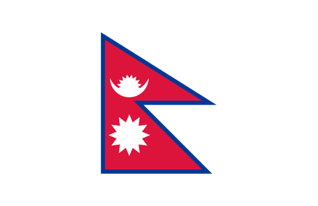
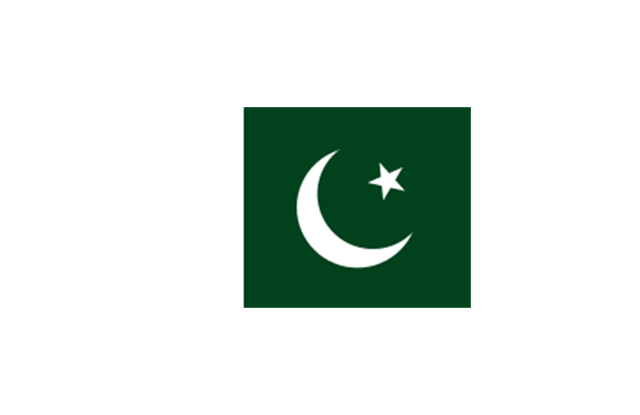
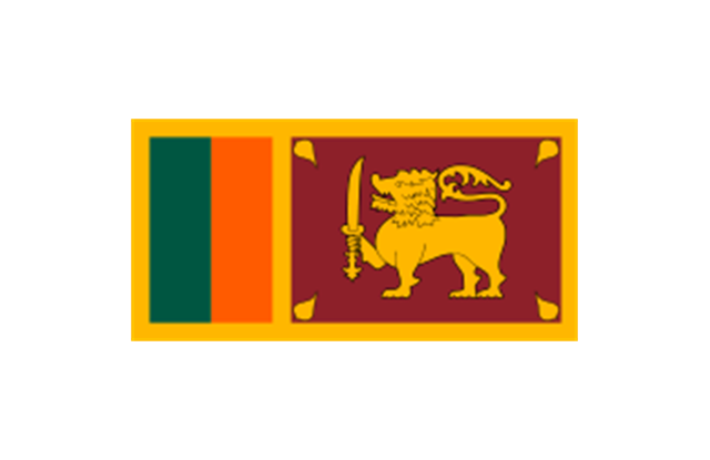
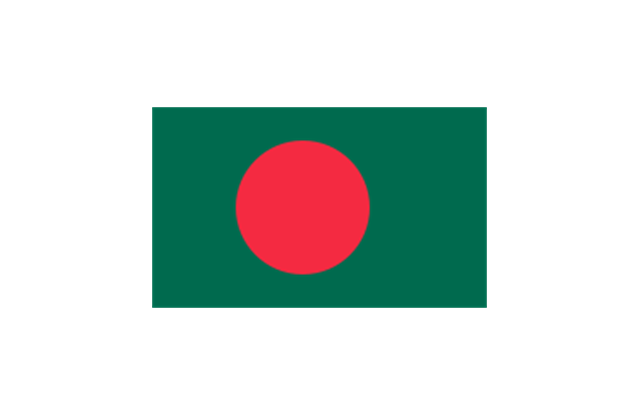
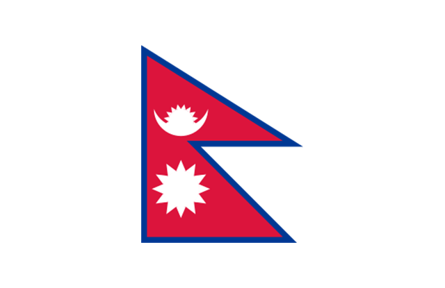
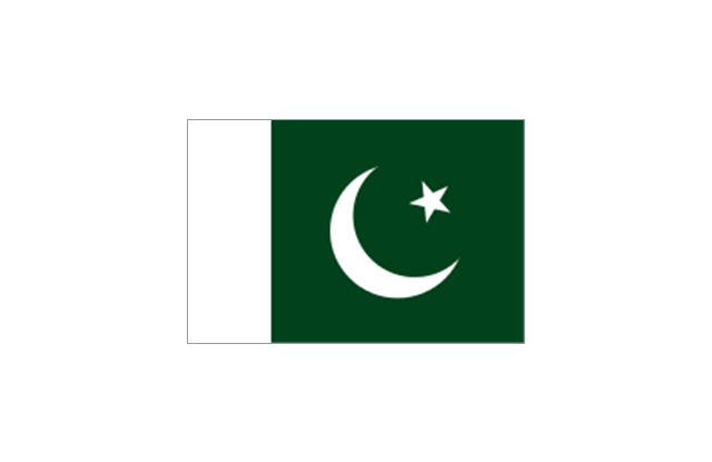
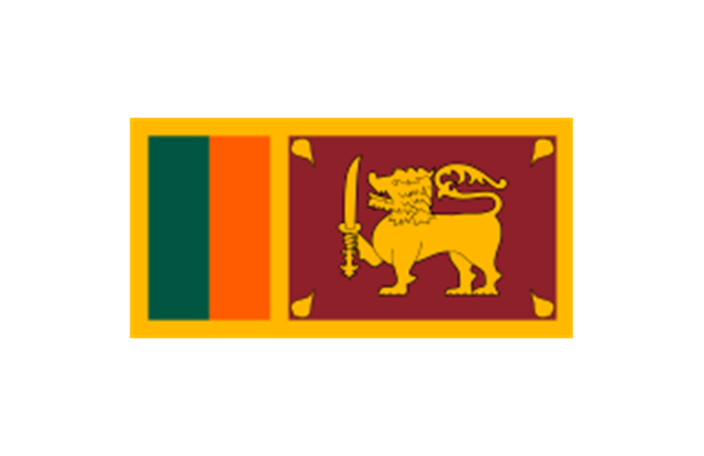
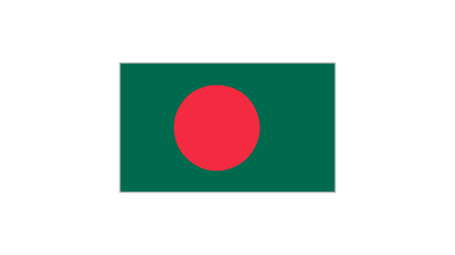
Southern Asia: Flag of Bangladesh, Flag of Bhutan, Flag of the British Indian Ocean Territory (United Kingdom), Flag of India, Flag of Maldives, Flag of Nepal, Flag of Pakistan, Flag of Sri Lanka.
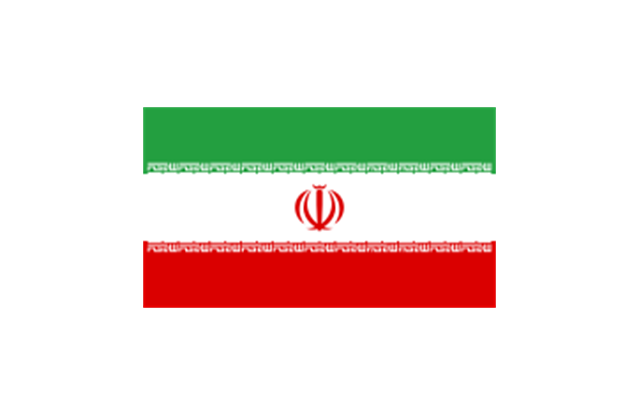
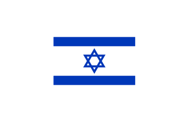
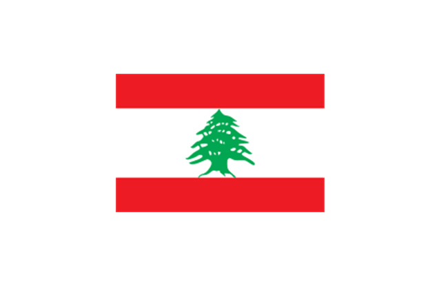
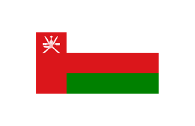
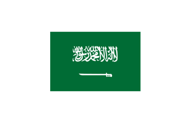
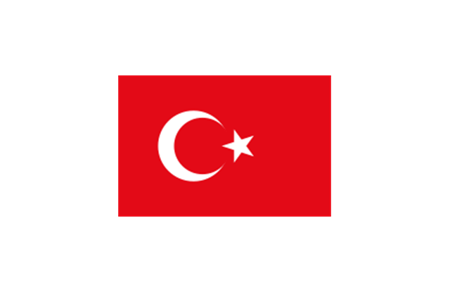
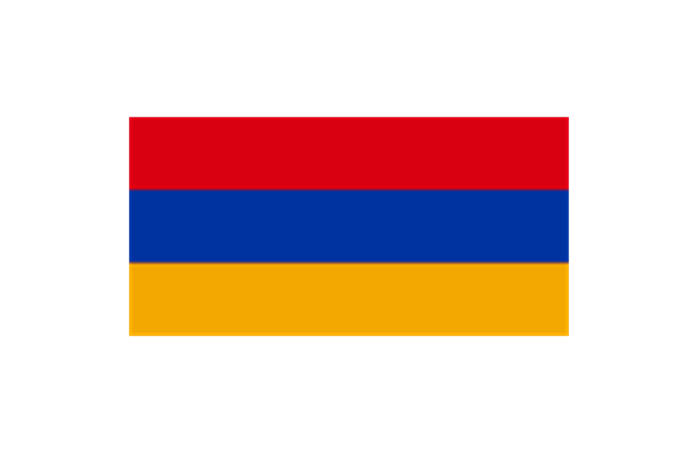
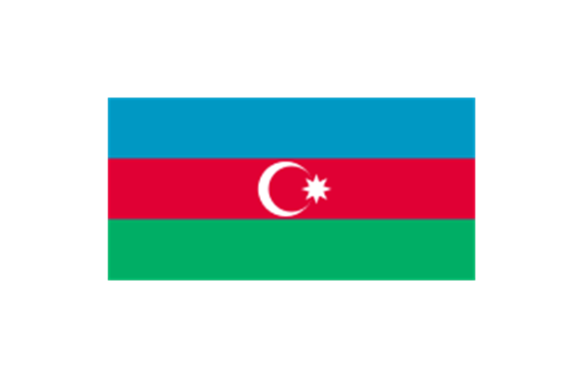
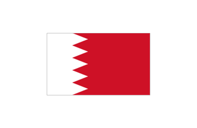
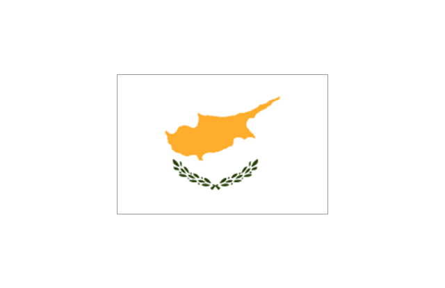
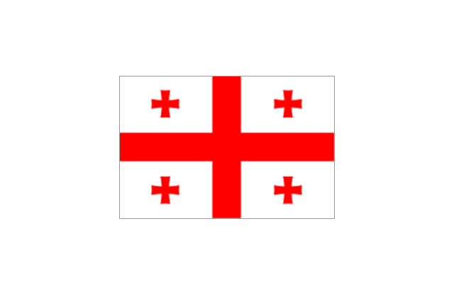
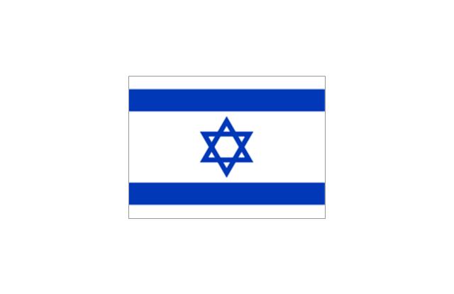
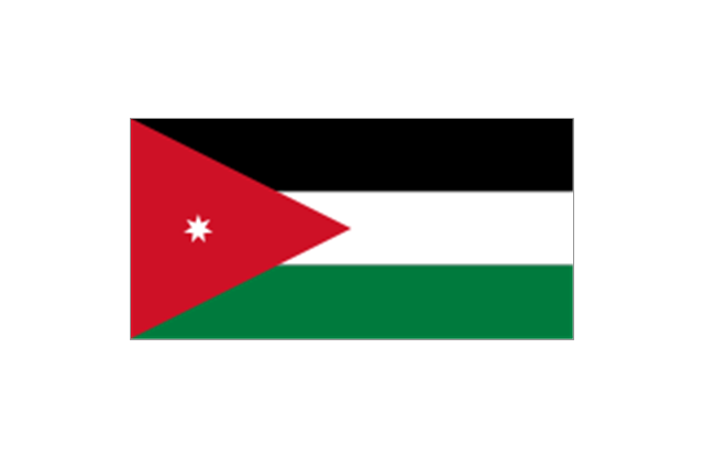
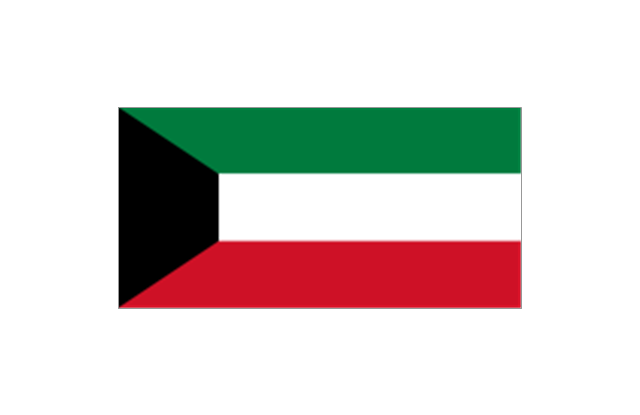
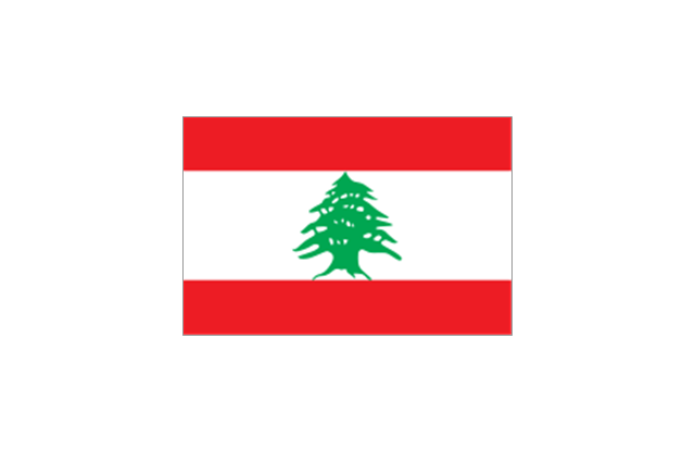
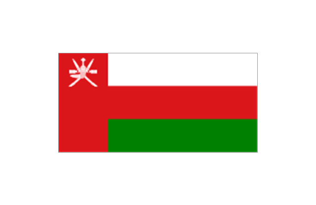
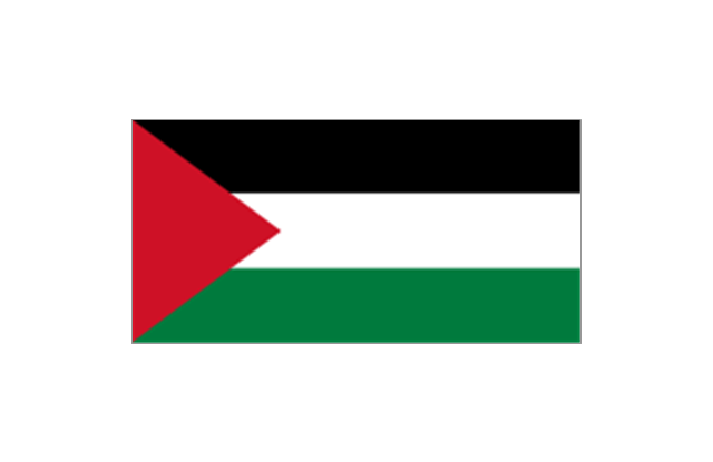
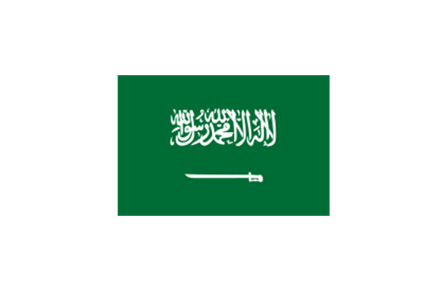
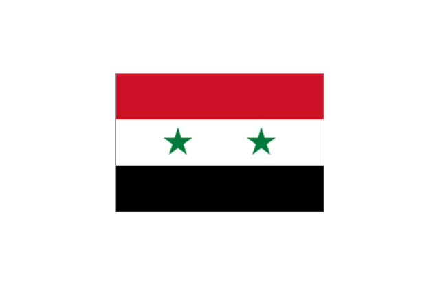
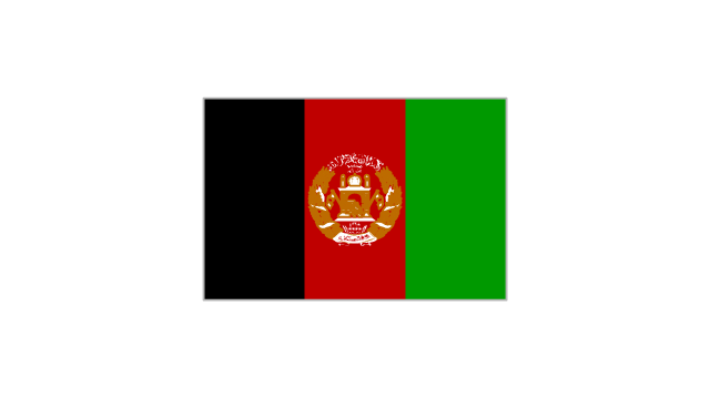
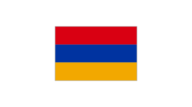
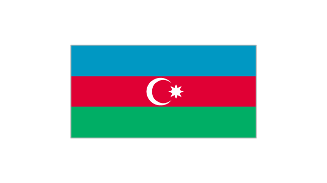
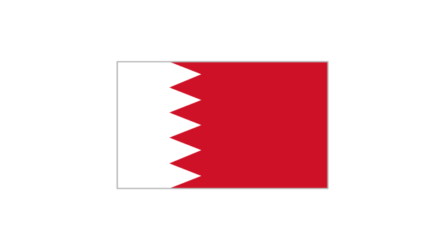
Western Asia: Flag of Abkhazia, Flag of Afghanistan, Flag of Akrotiri and Dhekelia (United Kingdom), Flag of Armenia, Flag of Azerbaijan, Flag of Bahrain, Flag of Cyprus, Flag of Egypt, Flag of Georgia, Flag of Iran, Flag of Iraq, Flag of Israel, Flag of Jordan, Flag of Kuwait, Flag of Lebanon, Flag of Nagorno-Karabakh, Flag of Northern Cyprus, Flag of Oman, Flag of Palestine, Flag of Qatar, Flag of Saudi Arabia, Flag of South Ossetia, Flag of Syria, Flag of Turkey, Flag of the United Arab Emirates, Flag of Yemen.
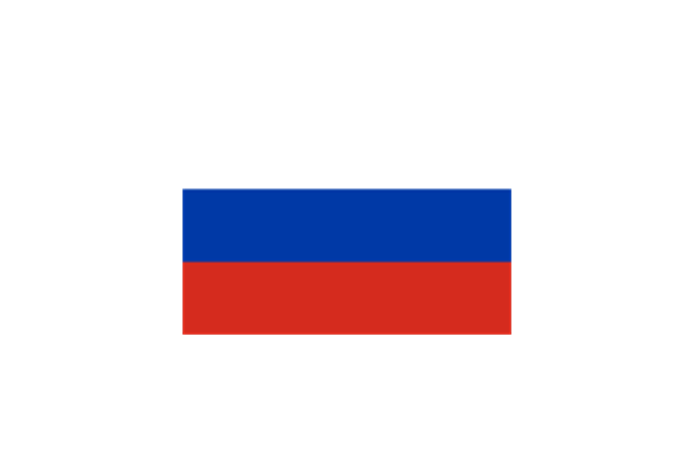
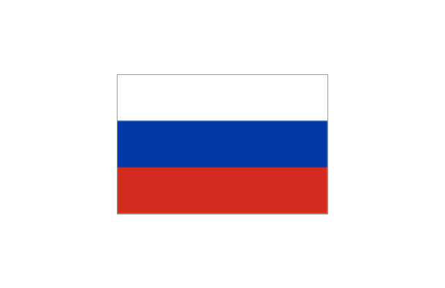
Northern Asia: Flag of Russia." [Flags of Asia. Wikipedia]
The clip art example "Asia flags - Stencils library" was created using the ConceptDraw PRO diagramming and vector drawing software extended with the Continent Maps solution from the Maps area of ConceptDraw Solution Park.
www.conceptdraw.com/ solution-park/ maps-continent
The vector stencils library "Asia flags" contains 49 clipart images of Asian countries state flags.
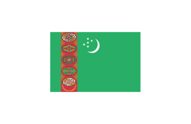
National flags of Central Asia countries: Kazakhstan, Kyrgyzstan, Tajikistan, Turkmenistan, Uzbekistan.
National flags of Eastern Asia countries: People's Republic of China, Hong Kong (China), Japan, North Korea, South Korea, Macau (China), Mongolia, Republic of China (Taiwan).
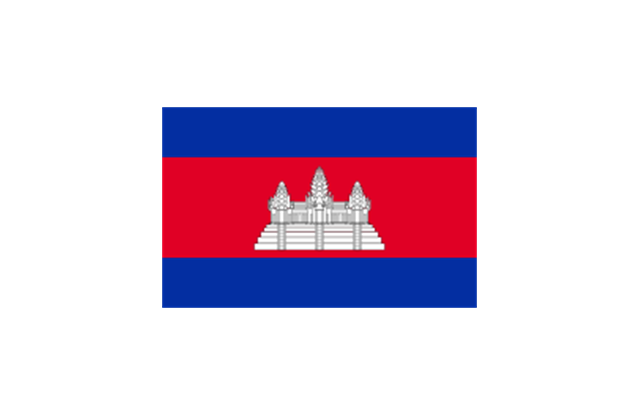
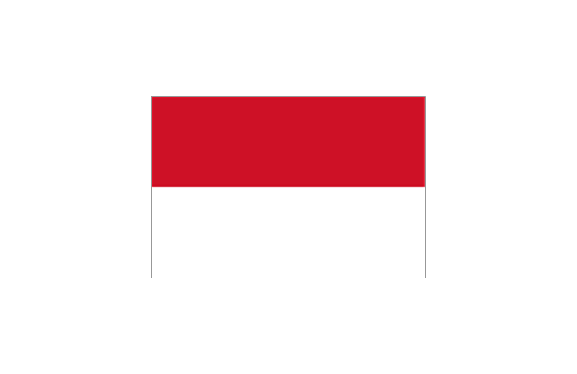
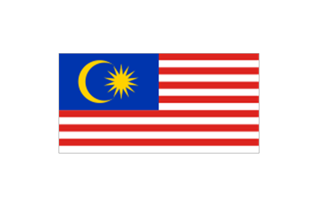
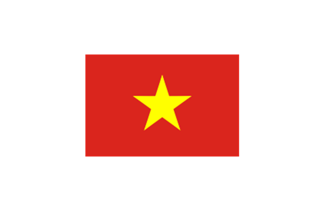
National flags of Southeast Asia countries: Brunei, Burma, Cambodia, Christmas Island (Australia), Cocos (Keeling) Islands (Australia), East Timor, Indonesia, Laos, Malaysia, Philippines, Singapore, Thailand, Vietnam.
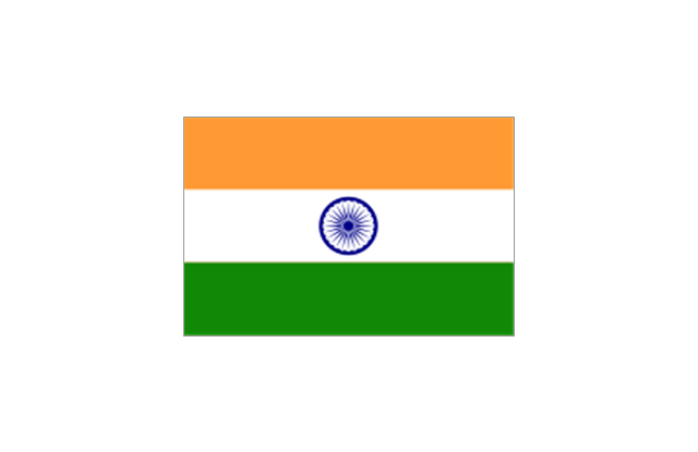
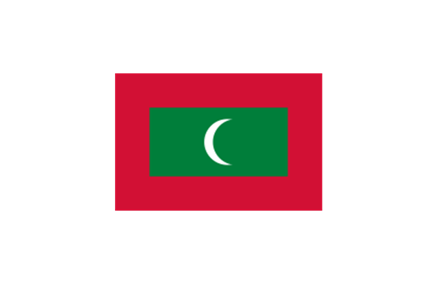
National flags of Southern Asia countries: Bangladesh, Bhutan, British Indian Ocean Territory (United Kingdom), India, Maldives, Nepal, Pakistan, Sri Lanka.
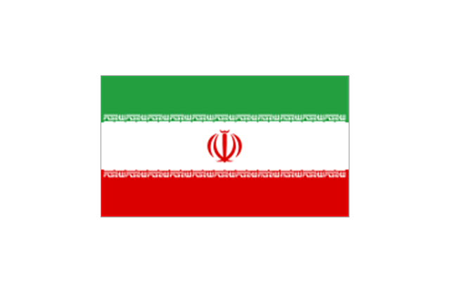
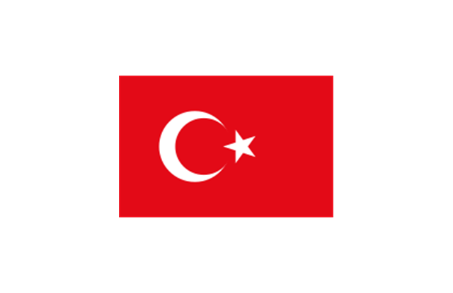
National flags of Western Asia countries: Abkhazia, Afghanistan, Akrotiri and Dhekelia (United Kingdom), Armenia, Azerbaijan, Bahrain, Cyprus, Egypt, Georgia, Iran, Iraq, Israel, Jordan, Kuwait, Lebanon, Nagorno-Karabakh, Northern Cyprus, Oman, Palestine, Qatar, Saudi Arabia, South Ossetia, Syria, Turkey, United Arab Emirates, Yemen.
National flags of Northern Asia countries: Russia.
The clip art example "Design elements - Asia flags" was created using the ConceptDraw PRO diagramming and vector drawing software extended with the Continent Maps solution from the Maps area of ConceptDraw Solution Park.
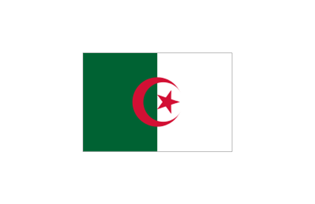
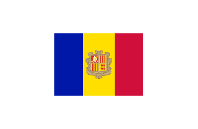
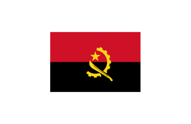
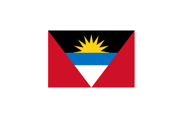
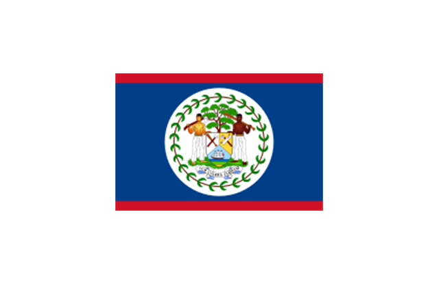
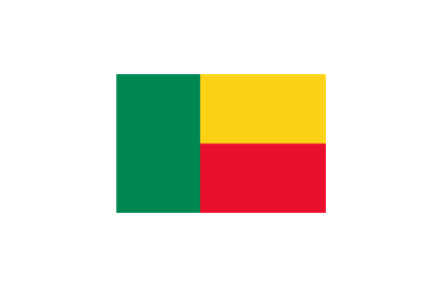
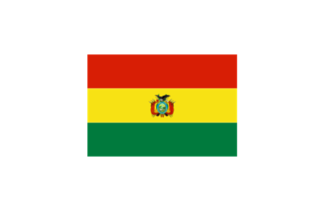
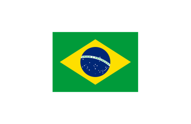
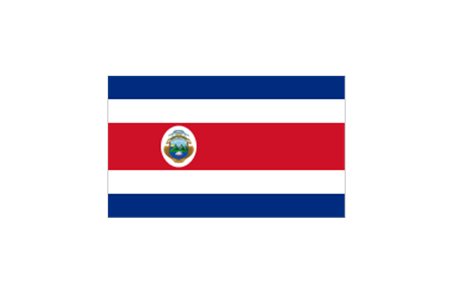
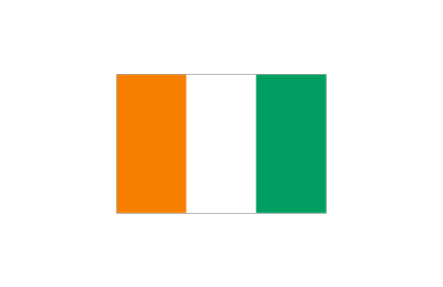
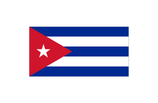
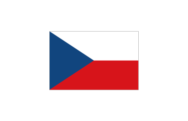
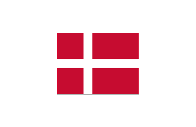
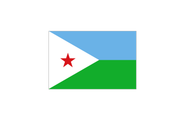
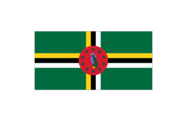
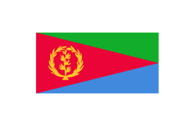
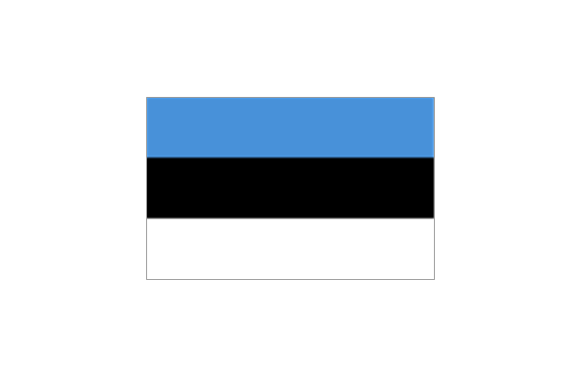
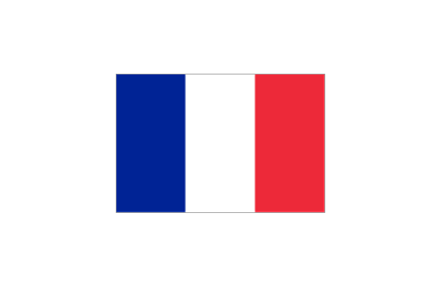
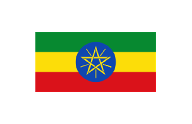
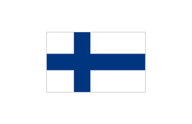
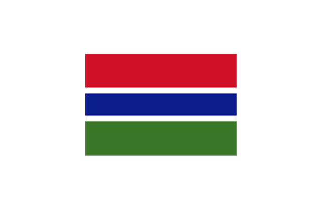
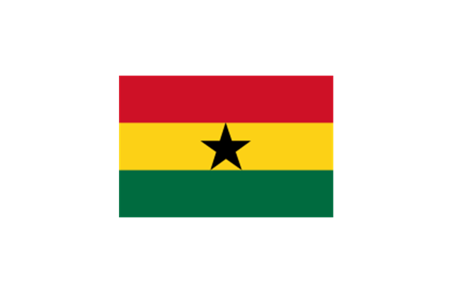
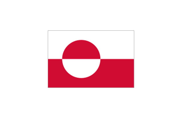
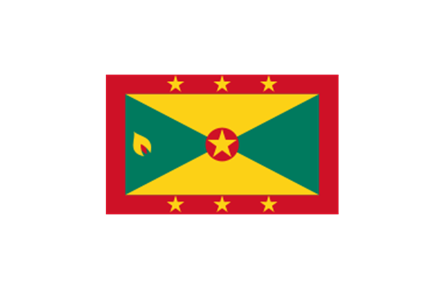
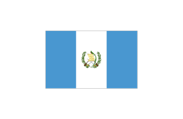
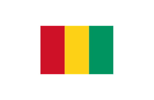
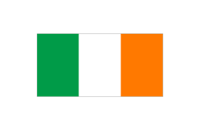
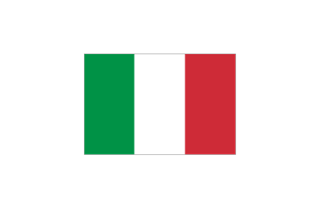
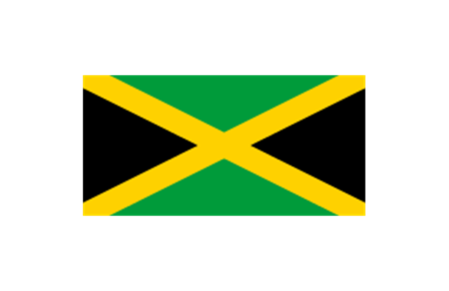
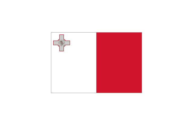
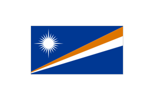
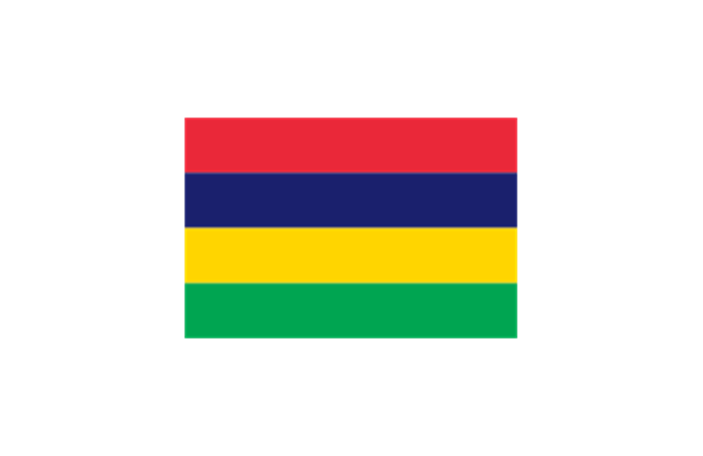
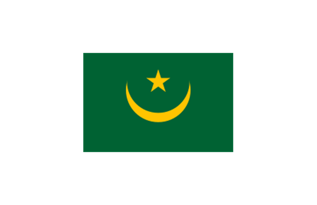
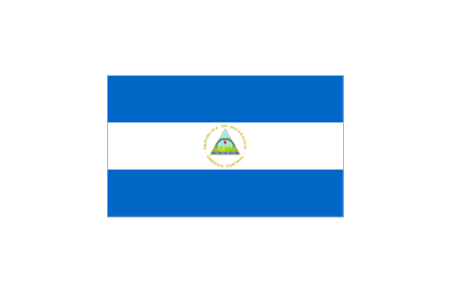
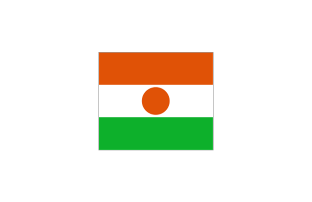
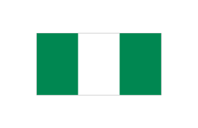
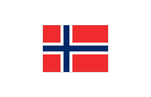
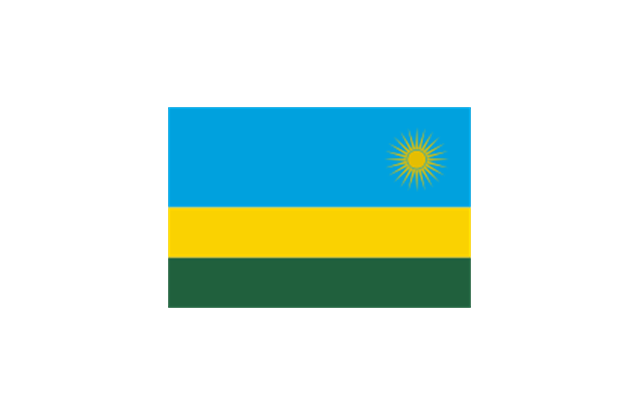
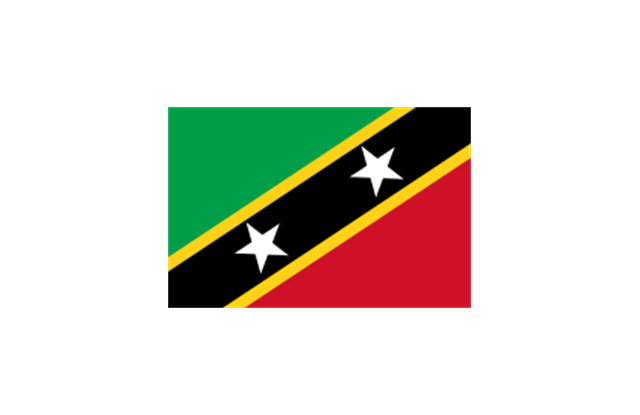
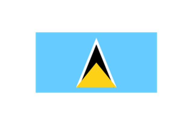
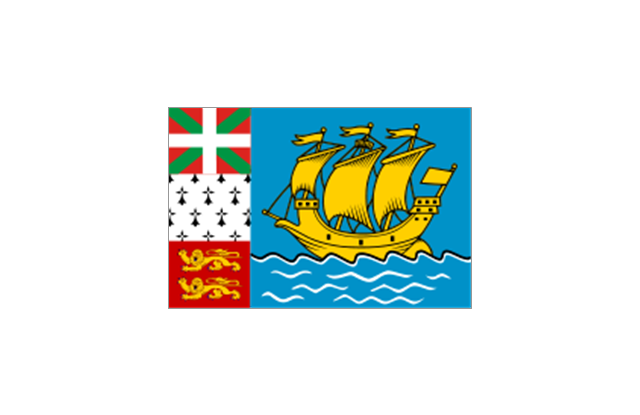
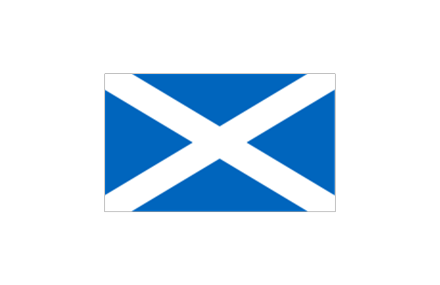
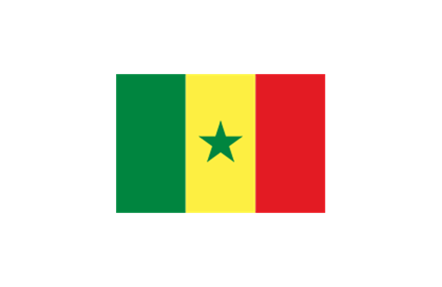
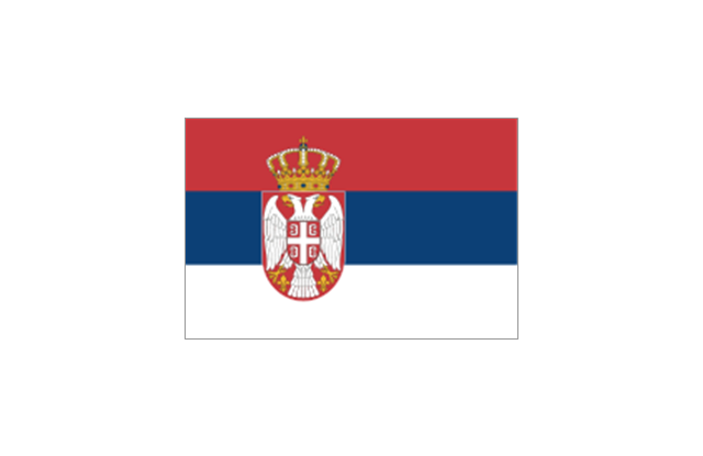
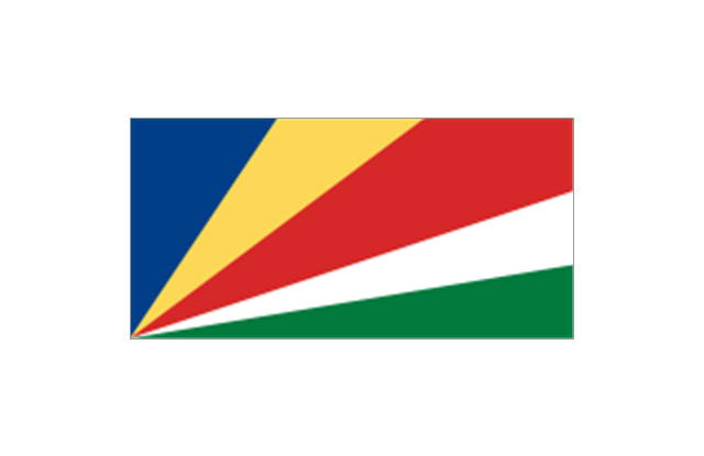
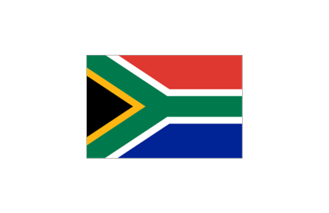
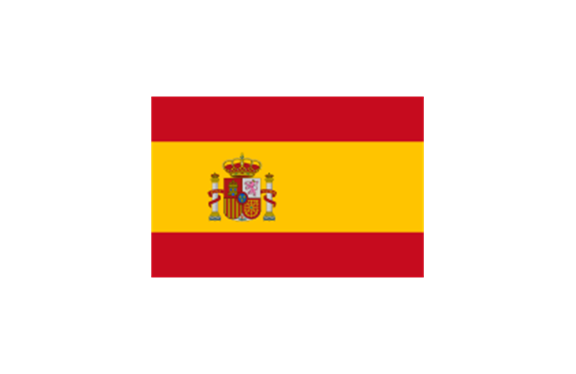
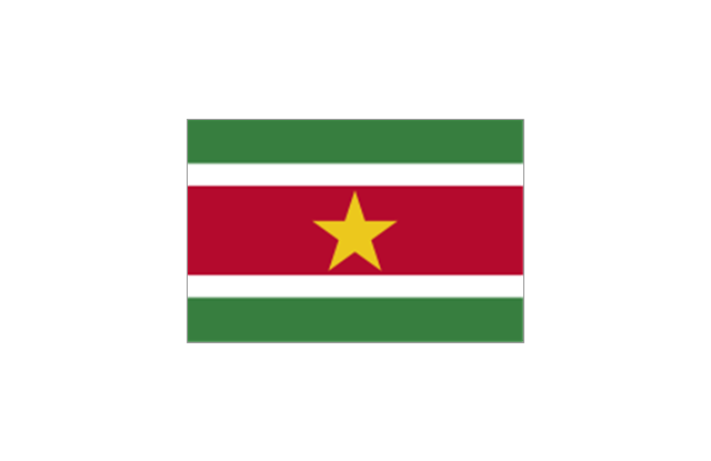
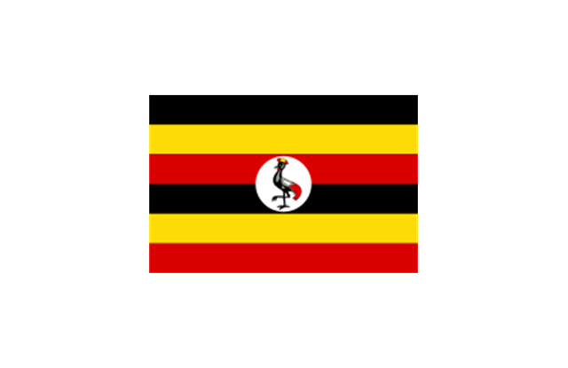
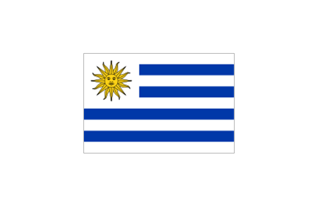
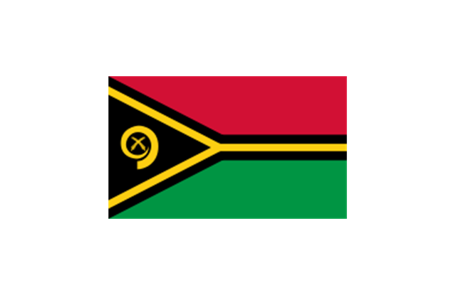
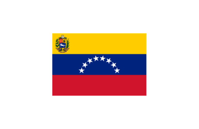
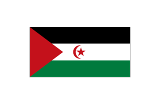
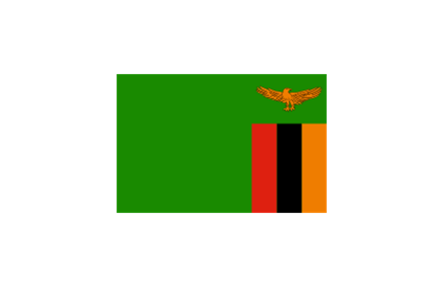
The stencils library "Flags" contains 204 clipart images of state flags.
"There are two separate meanings for the term state flag in vexillology - the flag of the government of a sovereign state, and the flag of an individual subnational state, such as a U.S. state, or a Russian oblast. ...
A state flag is a variant of a national flag (or occasionally a completely different design) specifically designated and restricted by law or custom (theoretically or actually) to use by a country's government or its agencies. For this reason they are sometimes referred to as government flags. In many countries the state flag and the civil flag (as flown by the general public) are identical, but in other countries, notably those in Latin America, central Europe, and Scandinavia, the state flag is a more complex version of the national flag, often featuring the national coat of arms or some other emblem as part of the design. Scandinavian countries also use swallowtailed state flags, to further differentiate them from civil flags.
In addition, some countries have state ensigns, separate flags for use by non-military government ships such as guard vessels. For example, government ships in the United Kingdom fly the blue ensign." [State flag. Wikipedia]
The clip art example "Flags - Stencils library" was created using the ConceptDraw PRO diagramming and vector drawing software extended with the Continent Maps solution from the Maps area of ConceptDraw Solution Park.
www.conceptdraw.com/ solution-park/ maps-continent
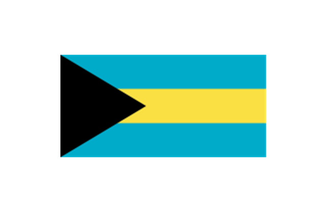
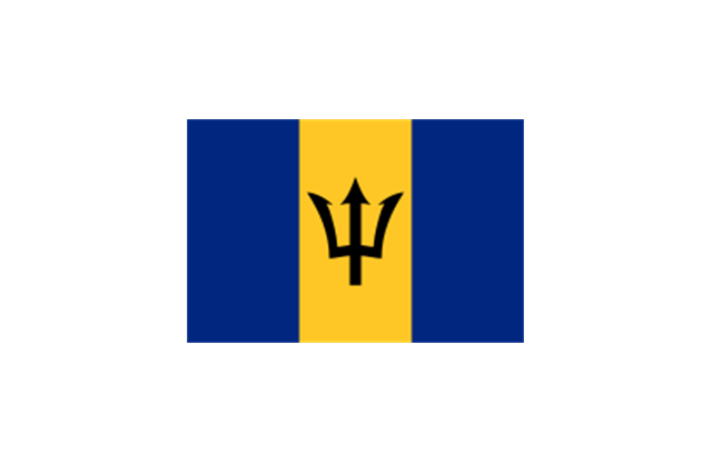
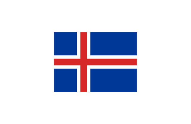
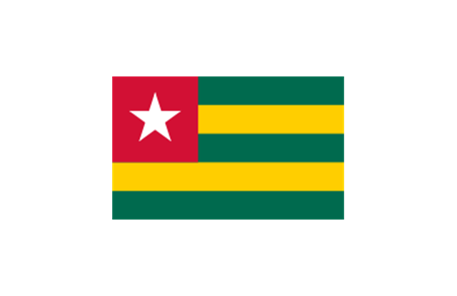
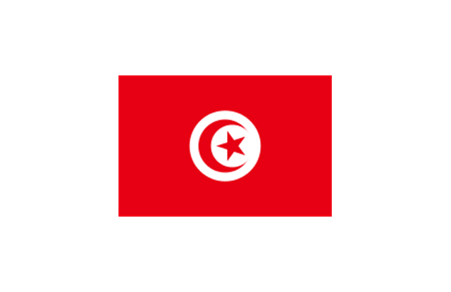
The vector stencils library "Asian country flags" contains 48 clipart images of Asia state flags.
Use the Asian country flags clip art to illustrate your business documents, presentation slides, web pages, geo maps and infographics.
The clip art example "Asian country flags - Vector stencils library" was created using the ConceptDraw PRO diagramming and vector drawing software extended with the Artwork solution from the Illustration area of ConceptDraw Solution Park.
Geo Map - Asia - Mongolia
Mongolia is a landlocked country in Central Asia. The vector stencils library Mongolia contains contours for ConceptDraw PRO diagramming and vector drawing software. This library is contained in the Continent Maps solution from Maps area of ConceptDraw Solution Park.Geo Map - Europe - Bulgaria
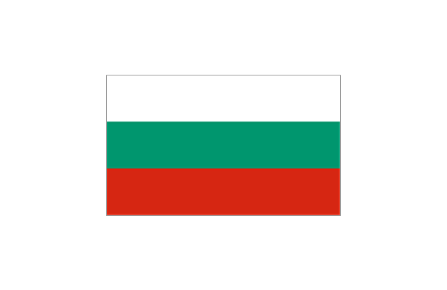
Bulgaria, officially the Republic of Bulgaria, is a country located in Southeastern Europe. Use the Continent Maps solution to create Bulgaria geographical map, cartograms and thematic map, to help visualize the business and thematic information connected with geographic areas, locations or customs.Geo Map - Asia - Philippines
The Philippines, officially known as the Republic of the Philippines, is a sovereign island country in Southeast Asia situated in the western Pacific Ocean. Use the Continent Maps solution and Philippines library to draw thematic maps, geospatial infographics and vector illustrations. This solution to help visualize the business and thematic information connected with geographic areas, locations or customs; for your business documents, presentations and websites.Geo Map - Asia - Kazakhstan
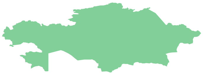
Kazakhstan, officially the Republic of Kazakhstan, is a contiguous transcontinental country in Central Asia, with its smaller part west of the Ural River in Eastern Europe. The vector stencils library Kazakhstan contains contours for ConceptDraw PRO diagramming and vector drawing software. This library is contained in the Continent Maps solution from Maps area of ConceptDraw Solution Park.Geo Map Software
Geo Map Software - Full Geographic Reach of Your Business with Geo Map Shapes.Geo Map of Americas
The Americas are the combined continental landmasses of North America and South America, in the Western Hemisphere. There are 35 sovereign states in the Americas. ConceptDraw is idea to draw the geological maps of America from the pre-designed vector geo map shapes and vector images map of america. Use Continent Maps solution from the Maps area of ConceptDraw Solution Park to draw thematic maps, geospatial infographics and vector illustrations for your business documents, presentations and websites.Map of Continents
A continent is one of several very large landmasses on Earth. ConceptDraw PRO diagramming and vector drawing software offers the unique Continent Maps Solution from the Maps Area which is indispensable for drawing the map of continents of the Earth.Educational Technology Tools
What are the favorite educational technology tools and techniques for teachers? Of course these are pictures, images and education infographics! ConceptDraw PRO software supplied with Education Infographics Solution from the Business Infographics Area provides powerful drawing tools to help design the education infographics of any complexity.Design Pictorial Infographics. Design Infographics
In the course of recent decades data visualization went through significant development and has become an indispensable tool of journalism, business intelligence and science. The way visual information may be conveyed is not limited simply to static or dynamic representation, it can also be interactive. Infographics can be conditionally divided into several general levels. Primarily, this is level of visualization of information, its interpretation and association on any ground. Second level can be defined as a visualization of knowledge, depiction of thoughts and ideas in the form of images or diagrams. Finally, the level of data visualization, which processes data arrays in charts, enabling the information to be more clearly perceived. You can also identify the main approaches to the creation of infographics: exploratory and narrative. Exploratory method insists on minimalist design in favor of data precision without unnecessary details and is common for scientific researches and anaEducation Information
The Education Information is multifariuos and can be often represented in various forms. Еру the most successful ways of presentation the information and data are various illustrations, diagrams and colorful education infographics which you can easily make in ConceptDraw PRO software extended with Education Infographics Solution from the Business Infographics Area.- Flags Of Napal Bhutan Bangladesh China Pakistan Maldives
- Uae Flag Icon Png
- Chinese Flag Icon Png
- Oceania flags - Vector stencils library | Subway Train Map | North ...
- Flags - Stencils library | Aerospace and Transport ...
- Saudi Arabia Map Icon
- Stencils library | Flags - Stencils library | Flag Icons
- Southeast Asia Icon Png
- Flowchart design. Flowchart symbols, shapes, stencils and icons ...
- Yemen Map Icon Png
- Latin America - Vector stencils library | Flags - Stencils library ...
- National Flag Of Srilanka Afganistan And Bhutan Hd Images
- Indonesia Map Png Icon
- Uae Flag Small Image Png
- Geo Map - Asia - China | Asia flags - Stencils library | Asia - Vector ...
- Geo Map - South America Continent | Flags - Stencils library | How ...
- All Country Flags Images
- Iran Map Icon Png
- Cisco buildings - Vector stencils library | Flags - Stencils library ...
- Flowchart design. Flowchart symbols, shapes, stencils and icons ...
-asia-flags---stencils-library.png--diagram-flowchart-example.png)








































































-asian-country-flags---vector-stencils-library.png--diagram-flowchart-example.png)
