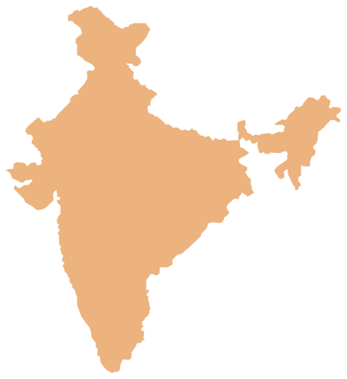
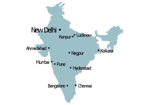
Geo Map - Asia - India
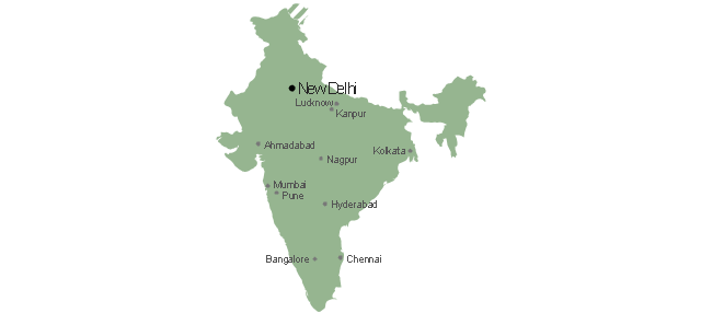
India, officially the Republic of India (Bharat Ganrajya), is a country in South Asia. The vector stencils library India contains contours for ConceptDraw PRO diagramming and vector drawing software. This library is contained in the Continent Maps solution from Maps area of ConceptDraw Solution Park.Geo Map - Asia - Bhutan
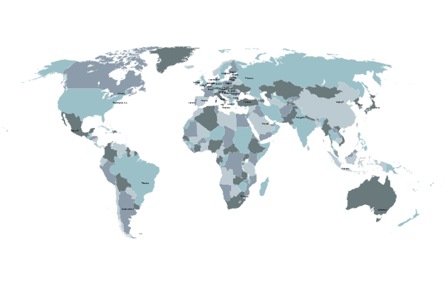
Bhutan, officially the Kingdom of Bhutan, is a landlocked country in South Asia located at the eastern end of the Himalayas. The vector stencils library Bhutan contains contours for ConceptDraw PRO diagramming and vector drawing software. This library is contained in the Continent Maps solution from Maps area of ConceptDraw Solution Park.The vector stencils library "Management maps" contains 44 map contours: G-20 state maps, EU state maps and world map.
Use it to create your management infogram in the ConceptDraw PRO diagramming and vector drawing software.
The state map contours example "Management maps - Vector stencils library" is included in the solution "Marketing infographics" from the "Business infographics" area of ConceptDraw Solution Park.
Geo Map - Asia - Bangladesh
Bangladesh, officially the People's Republic of Bangladesh, is a country in South Asia. The vector stencils library Bangladesh contains contours for ConceptDraw PRO diagramming and vector drawing software. This library is contained in the Continent Maps solution from Maps area of ConceptDraw Solution Park.Geo Map - Asia - Nepal
Nepal, officially the Federal Democratic Republic of Nepal, is a landlocked sovereign state located in South Asia. The vector stencils library Nepal contains contours for ConceptDraw PRO diagramming and vector drawing software. This library is contained in the Continent Maps solution from Maps area of ConceptDraw Solution Park.The vector stencils library "Asia" contains 57 Asian state map contours for drawing thematic and political maps of Asia. Use it for visual representation of geospatial information, statistics and quantitative data.
"Asia is the Earth's largest and most populous continent, located primarily in the eastern and northern hemispheres. ... Countries: 49 (and 5 disputed)." [Asia. Wikipedia]
The state map contours example "Asia - Vector stencils library" was created using the ConceptDraw PRO diagramming and vector drawing software extended with the Continent Maps solution from the Maps area of ConceptDraw Solution Park.
The vector stencils library "Education maps" contains 44 map contours: G-20 state maps, EU state maps and world map.
Use it to visualize geospatial information in your education infograms.
The vector stencils library "Education maps" is included in the Education Infographics solution from the Business Infographics area of ConceptDraw Solution Park.
Use it to visualize geospatial information in your education infograms.
The vector stencils library "Education maps" is included in the Education Infographics solution from the Business Infographics area of ConceptDraw Solution Park.
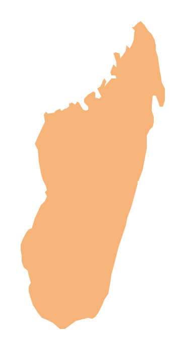
Geo Map - Africa - Madagascar
Madagascar, officially the Republic of Madagascar, is an island country in the Indian Ocean, off the coast of Southeast Africa. The vector stencils library Madagascar contains contours for ConceptDraw PRO diagramming and vector drawing software. This library is contained in the Continent Maps solution from Maps area of ConceptDraw Solution Park.Geo Map - Asia - Sri Lanka
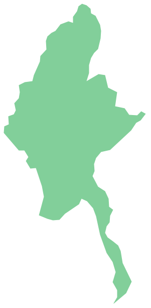
Sri Lanka, officially the Democratic Socialist Republic of Sri Lanka, is an island country in the northern Indian Ocean off the southern coast of the Indian subcontinent in South Asia; known until 1972 as Ceylon, Sri Lanka has maritime borders with India to the northwest and the Maldives to the southwest. The vector stencils library Sri Lanka contains contours for ConceptDraw PRO diagramming and vector drawing software. This library is contained in the Continent Maps solution from Maps area of ConceptDraw Solution Park.Geo Map - Asia - Myanmar
Burma, officially the Republic of the Union of Myanmar, commonly shortened to Myanmar, is a sovereign state in Southeast Asia bordered by Bangladesh, India, China, Laos and Thailand. The vector stencils library Myanmar contains contours for ConceptDraw PRO diagramming and vector drawing software. This library is contained in the Continent Maps solution from Maps area of ConceptDraw Solution Park.Geo Map - Asia - North Korea
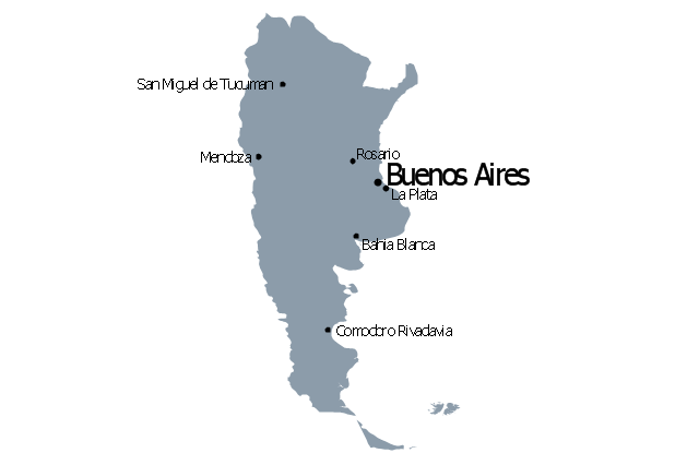
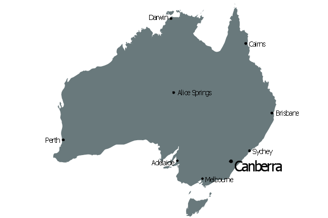
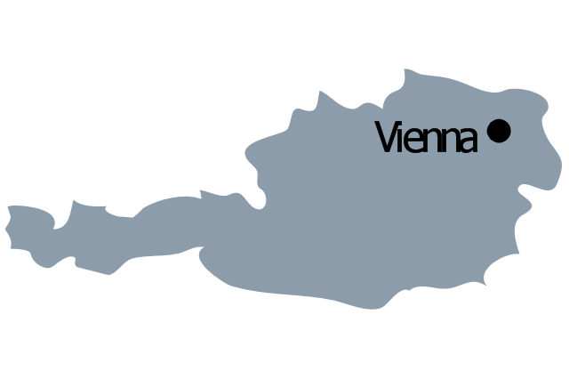
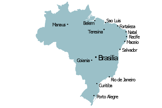
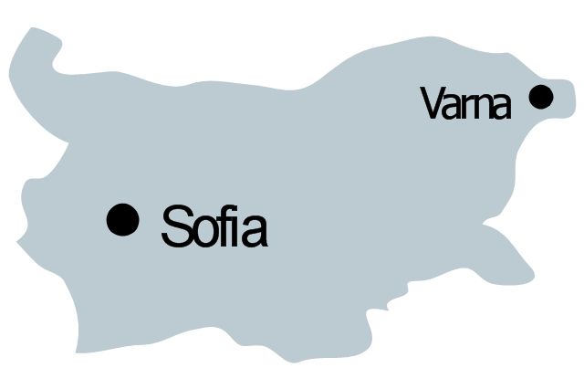
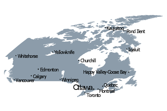
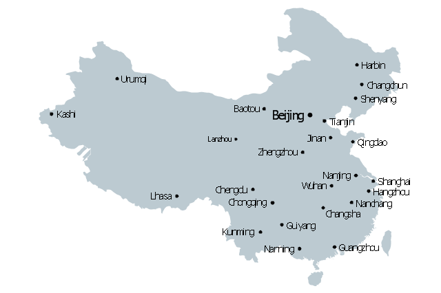
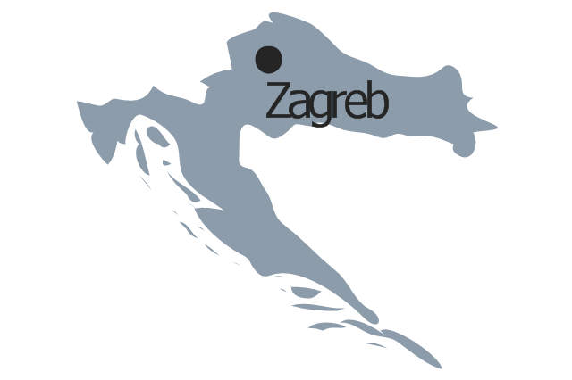
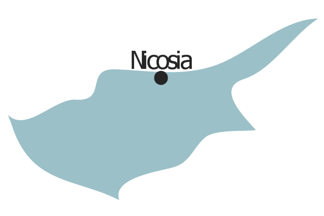
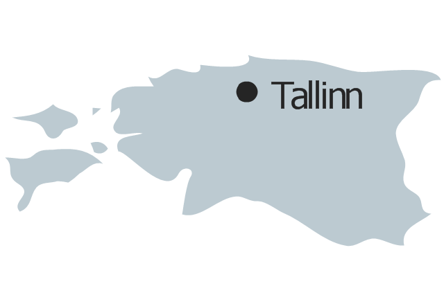
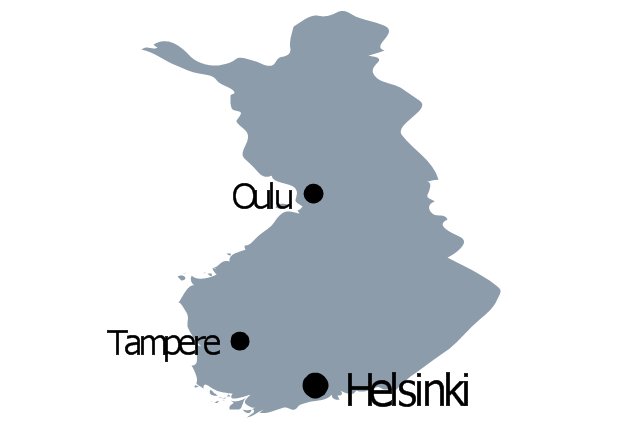
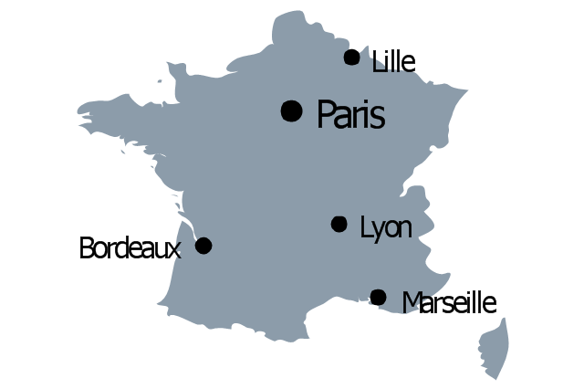
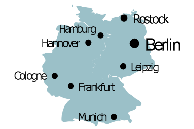
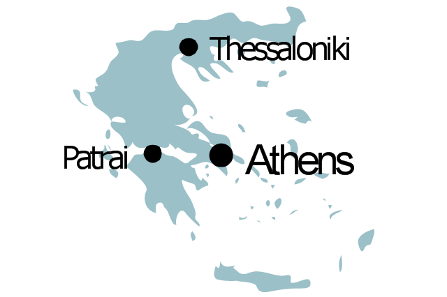
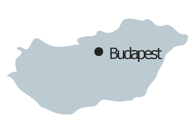
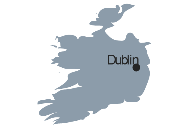
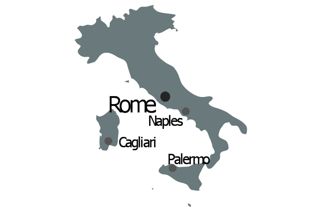
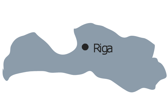
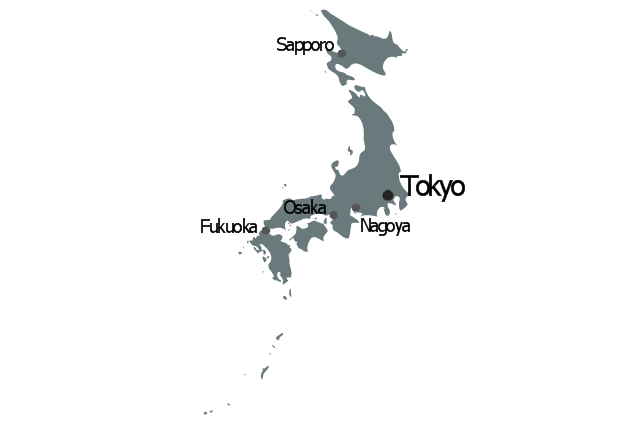
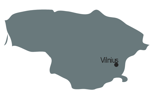
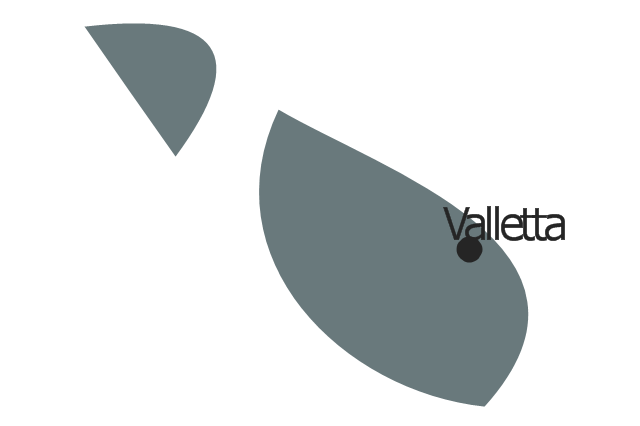
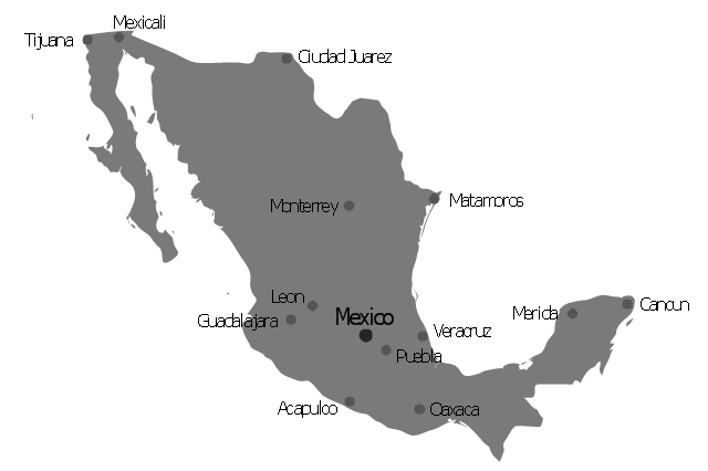
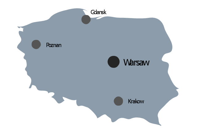
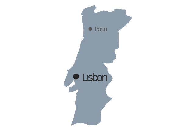
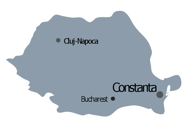
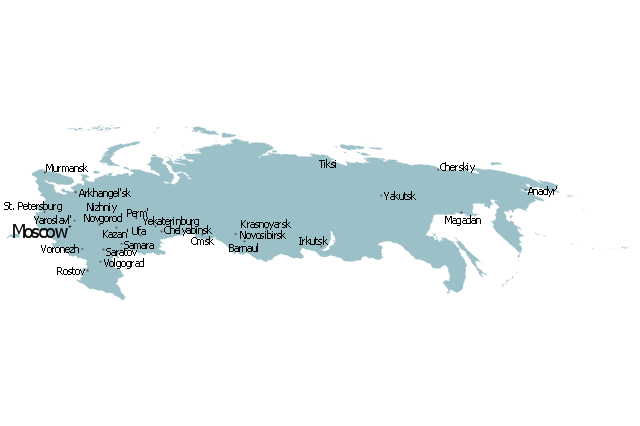
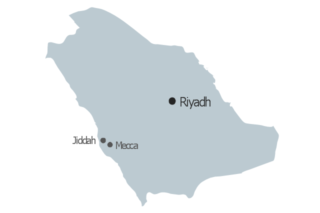
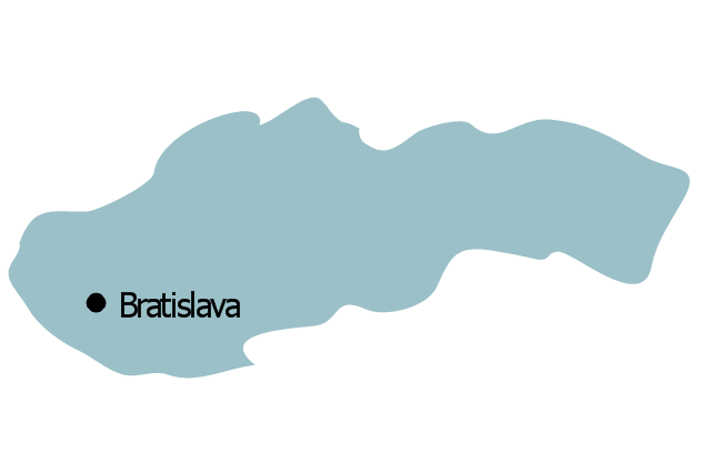
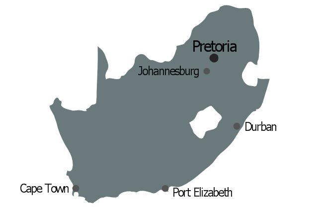
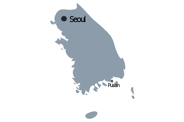
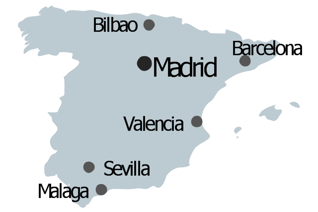
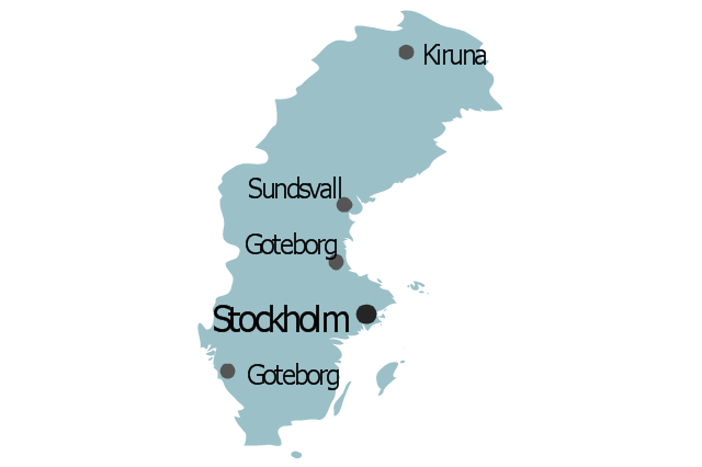
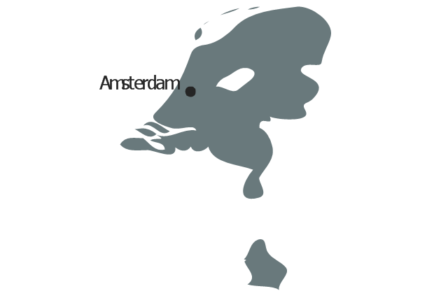
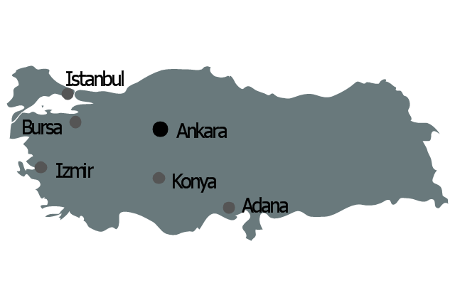
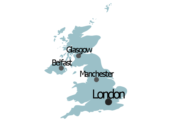
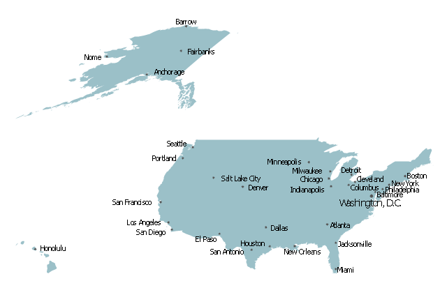
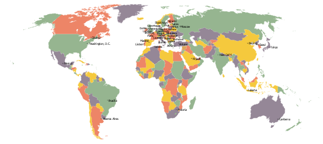
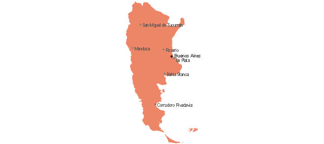
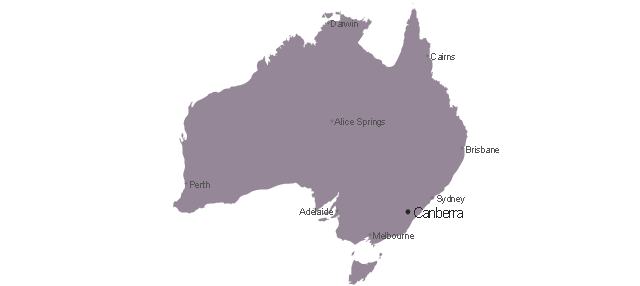
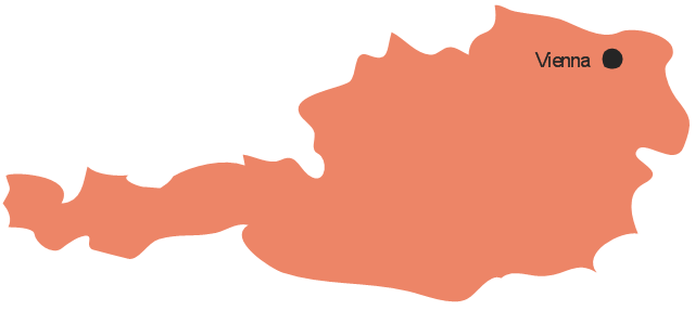
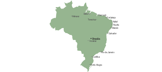
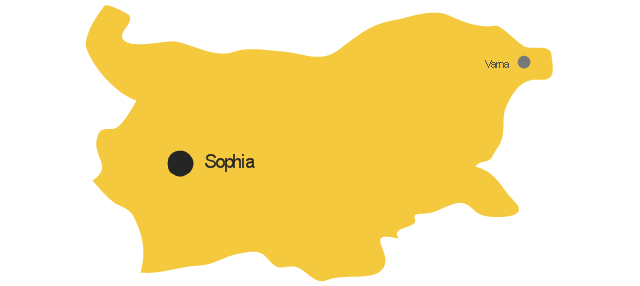
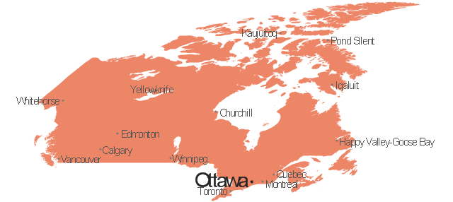
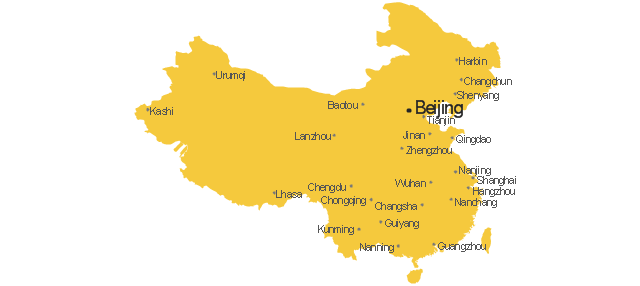
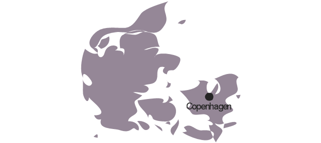
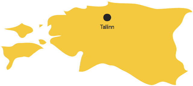
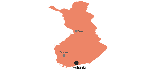
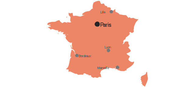
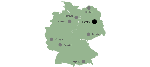
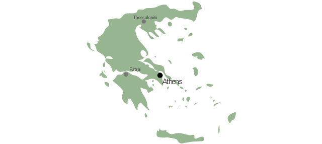
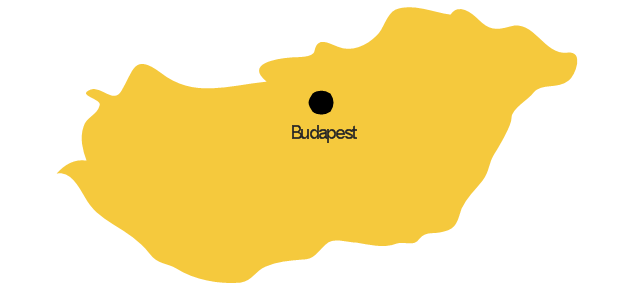
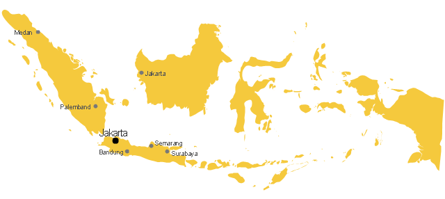
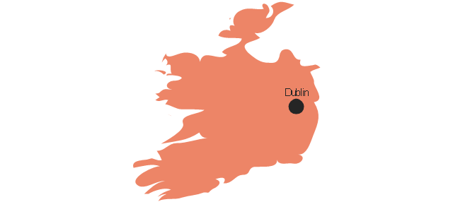
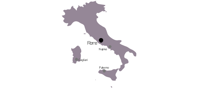
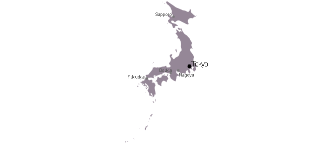
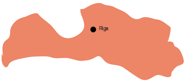
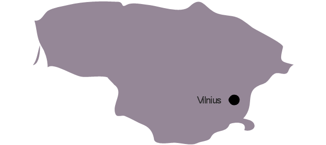
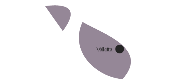
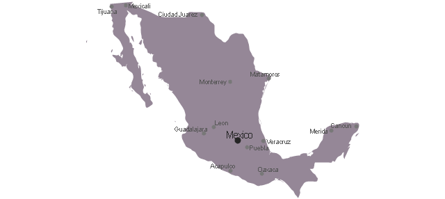
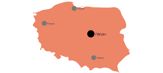
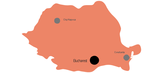
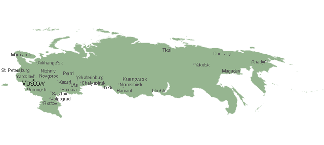
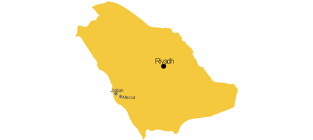
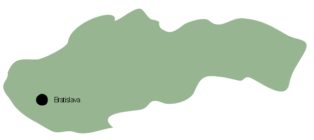
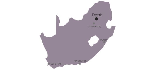
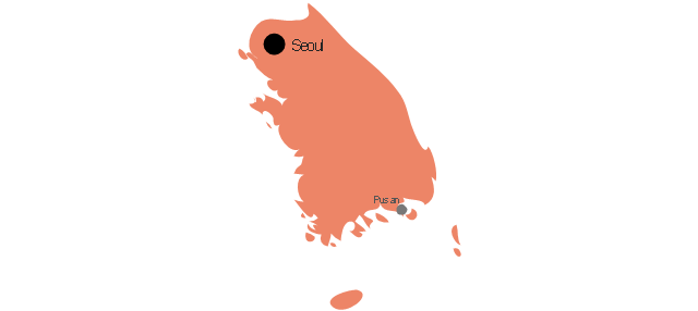
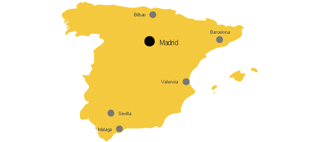
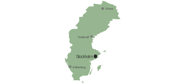
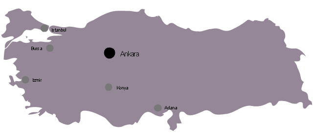
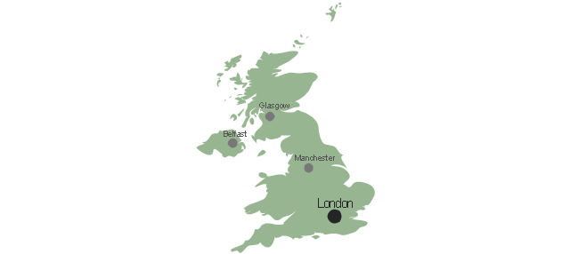
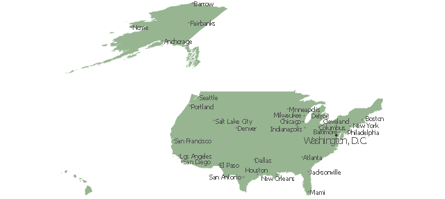
North Korea, officially the Democratic People's Republic of Korea, is a country in East Asia, in the northern part of the Korean Peninsula. The vector stencils library North Korea contains contours for ConceptDraw PRO diagramming and vector drawing software. This library is contained in the Continent Maps solution from Maps area of ConceptDraw Solution Park.The vector stencils library "Marketing maps" contains 44 state map contours with capitals and major cities: the Group of Twenty (G20) state maps, EU state maps and World map.
Use it to visualize geospatial information in your marketing infograms.
"The Group of Twenty (also known as the G-20 or G20) is a forum for the governments and central bank governors from 20 major economies. The members, shown highlighted on the map at right, include 19 individual countries—Argentina, Australia, Brazil, Canada, China, France, Germany, India, Indonesia, Italy, Japan, Republic of Korea, Mexico, Russian Federation, Saudi Arabia, South Africa, Turkey, United Kingdom, United States—and the European Union (EU). The EU is represented by the European Commission and by the ECB." [G-20 major economies. Wikipedia]
The G-20 state map contours example "Design elements - Marketing maps (G-20)" was created using the ConceptDraw PRO diagramming and vector drawing software extended with the Marketing Infographics solition from the area "Business Infographics" in ConceptDraw Solution Park.
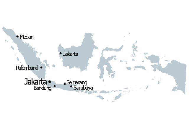
Geo Map — Asia — Indonesia
Indonesia, officially the Republic of Indonesia, is a sovereign state in Southeast Asia and Oceania. The vector stencils library Indonesia contains contours for ConceptDraw PRO diagramming and vector drawing software. This library is contained in the Continent Maps solution from Maps area of ConceptDraw Solution Park.Geo Map - Australia - South Australia
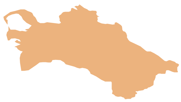
South Australia (abbreviated as SA) is a state in the southern central part of Australia. It covers some of the most arid parts of the continent.Geo Map - Asia - Turkmenistan
Turkmenistan, formerly also known as Turkmenia, is one of the Turkic states in Central Asia. The vector stencils library Turkmenistan contains contours for ConceptDraw PRO diagramming and vector drawing software. This library is contained in the Continent Maps solution from Maps area of ConceptDraw Solution Park.- Geo Map - Asia - India | Management maps - Vector stencils library ...
- Indian Map Vector Png
- Current India Map Vector
- India Map Vector With Mumbai And Bangluru
- North India Map Vector Png
- Geo Map - Asia - Sri Lanka | Geo Map - Asia - India | Asia - Vector ...
- Geo Map - Asia - Sri Lanka | Geo Map - Asia - India | Geo Map - Asia ...
- Outline The India Map Using Map Stencil
- India Along With Oman Map Outline Png
- Geo Map - Asia - India | Geo Map - Europe - Serbia | Asia - Vector ...
- Geo Map - Asia - Myanmar | Geo Map - Asia - India | Asia - Vector ...
- Vietnam Map Vector Png
- Vector India Map Png
- Geo Map - Asia - Indonesia | Geo Map - Asia - India | Asia map with ...
- India Map Vector Png High Res
- Geo Map - Asia - India
- South Asia - Political map | Geo Map - Asia - India | How To Do A ...
- Design elements - Marketing maps (G-20) | Management maps ...
- Geo Map - Asia - Pakistan | Asia - Vector stencils library | Geo Map ...
- Geo Map - Asia - India | British India salt revenue 1840-1877 | Geo ...










-asia---vector-stencils-library.png--diagram-flowchart-example.png)


-asia---vector-stencils-library.png--diagram-flowchart-example.png)












-state-maps-design-elements---marketing-maps-(g-20).png--diagram-flowchart-example.png)

