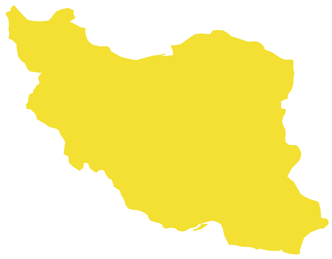
Geo Map - Asia - Iran
Iran, also known as Persia, officially the Islamic Republic of Iran since 1980, is a country in Western Asia. The vector stencils library Iran contains contours for ConceptDraw PRO diagramming and vector drawing software. This library is contained in the Continent Maps solution from Maps area of ConceptDraw Solution Park.The vector stencils library "Asia" contains 57 Asian state map contours for drawing thematic and political maps of Asia. Use it for visual representation of geospatial information, statistics and quantitative data.
"Asia is the Earth's largest and most populous continent, located primarily in the eastern and northern hemispheres. ... Countries: 49 (and 5 disputed)." [Asia. Wikipedia]
The state map contours example "Asia - Vector stencils library" was created using the ConceptDraw PRO diagramming and vector drawing software extended with the Continent Maps solution from the Maps area of ConceptDraw Solution Park.
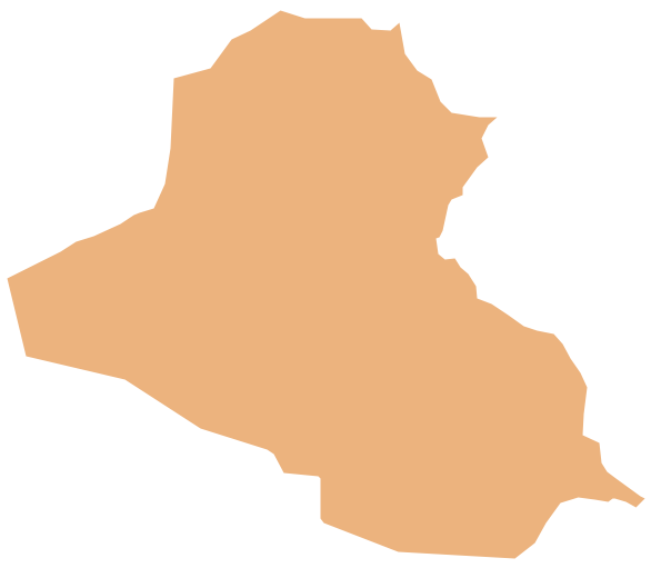
Geo Map - Asia - Iraq
Iraq, officially the Republic of Iraq, is a country in Western Asia encompassing the Mesopotamian alluvial plain, the northwestern end of the Zagros mountain range, and the eastern part of the Syrian Desert. The vector stencils library Iraq contains contours for ConceptDraw PRO diagramming and vector drawing software. This library is contained in the Continent Maps solution from Maps area of ConceptDraw Solution Park.The vector stencils library "Asia" contains 47 country contours for drawing thematic maps of Asia.
Use it in your spatial infographics for visual representation of geospatial information, statistics and quantitative data in the ConceptDraw PRO diagramming and vector drawing software extended with the Spatial Infographics solution from the area "What is Infographics" of ConceptDraw Solution Park.
Use it in your spatial infographics for visual representation of geospatial information, statistics and quantitative data in the ConceptDraw PRO diagramming and vector drawing software extended with the Spatial Infographics solution from the area "What is Infographics" of ConceptDraw Solution Park.
Geo Map - Asia - Cambodia
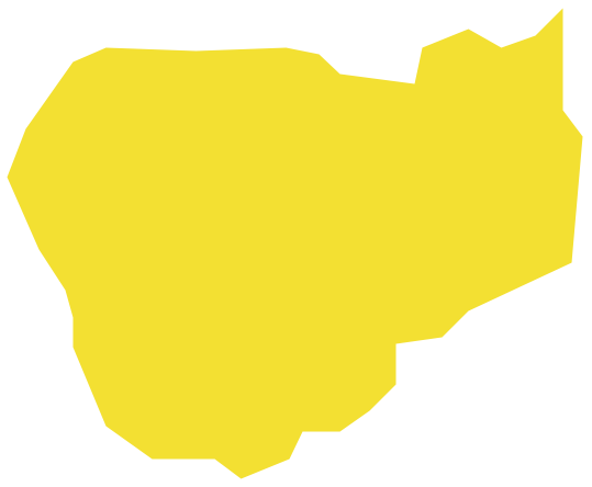
Cambodia, officially known as the Kingdom of Cambodia and once known as the Khmer Empire, is a country located in the southern portion of the Indochina Peninsula in Southeast Asia. The vector stencils library Cambodia contains contours for ConceptDraw PRO diagramming and vector drawing software. This library is contained in the Continent Maps solution from Maps area of ConceptDraw Solution Park.Geo Map - Asia - Kazakhstan
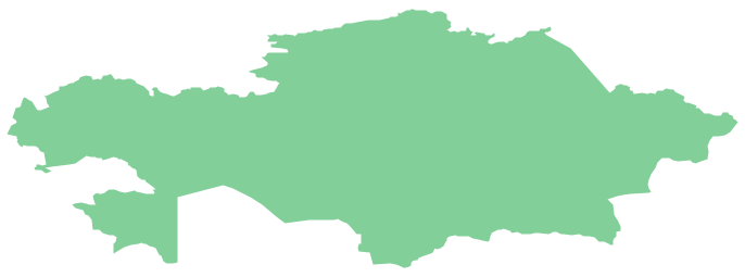
Kazakhstan, officially the Republic of Kazakhstan, is a contiguous transcontinental country in Central Asia, with its smaller part west of the Ural River in Eastern Europe. The vector stencils library Kazakhstan contains contours for ConceptDraw PRO diagramming and vector drawing software. This library is contained in the Continent Maps solution from Maps area of ConceptDraw Solution Park.Geo Map - Asia - Armenia
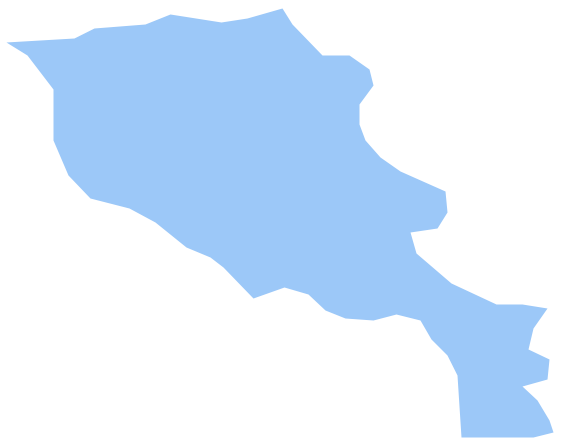
Armenia, officially the Republic of Armenia, is a mountainous country in the South Caucasus region of Eurasia. The vector stencils library Armenia contains contours for ConceptDraw PRO diagramming and vector drawing software. This library is contained in the Continent Maps solution from Maps area of ConceptDraw Solution Park.The vector stencils library "Asia" contains 57 Asian state map contours for drawing thematic and political maps of Asia. Use it for visual representation of geospatial information, statistics and quantitative data.
"Asia is the Earth's largest and most populous continent, located primarily in the eastern and northern hemispheres. ... Countries: 49 (and 5 disputed)." [Asia. Wikipedia]
The state map contours example "Asia - Vector stencils library" was created using the ConceptDraw PRO diagramming and vector drawing software extended with the Continent Maps solution from the Maps area of ConceptDraw Solution Park.
Geo Map - Asia - Saudi Arabia
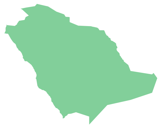
First of all, Saudi Arabia is known as "the Land of the Two Holy Mosques". Two of the holiest sites of Islam are located in Saudi Arabia. Medina - the city where the Quran was finally approved, and where Prophet Muhammad was buried, and Mecca, the birthplace of Muhammad. Every year, millions of muslims perform hajj and visit Al-Masjid al-Haram - the Sacred Mosque. Unfortunately, the entry is prohibited for non-Muslim people. The citizens of the country live under Sharia law, which impose certain obligations. For example, the usage of drugs and alcohol is forbidden. Gambling is also under the ban. Expats have a possibility to live in special reservations - compounds, where some concessions are allowed, for example, the appearance of women is not so strictly regulated and they have a right to drive there.Column Chart Software
ConceptDraw Column Chart software allows drawing column charts using predesigned objects or drawing tools. In ConceptDraw Column Chart software you can find a complete set of column chart tools and objects.The vector stencils library "Asia" contains 47 country contours for drawing thematic maps of Asia.
Use it in your spatial infographics for visual representation of geospatial information, statistics and quantitative data in the ConceptDraw PRO diagramming and vector drawing software extended with the Spatial Infographics solution from the area "What is Infographics" of ConceptDraw Solution Park.
Use it in your spatial infographics for visual representation of geospatial information, statistics and quantitative data in the ConceptDraw PRO diagramming and vector drawing software extended with the Spatial Infographics solution from the area "What is Infographics" of ConceptDraw Solution Park.
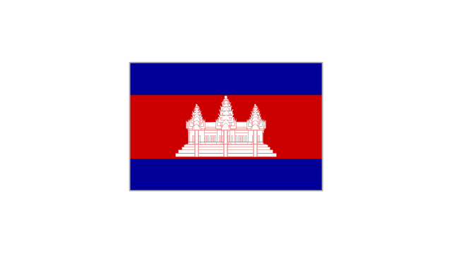
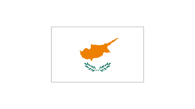
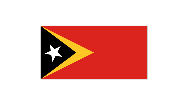
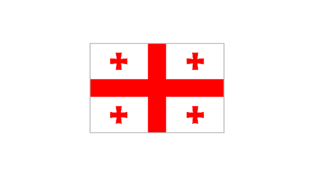
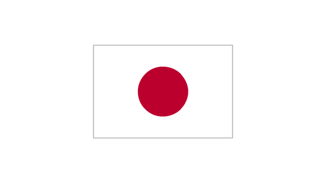
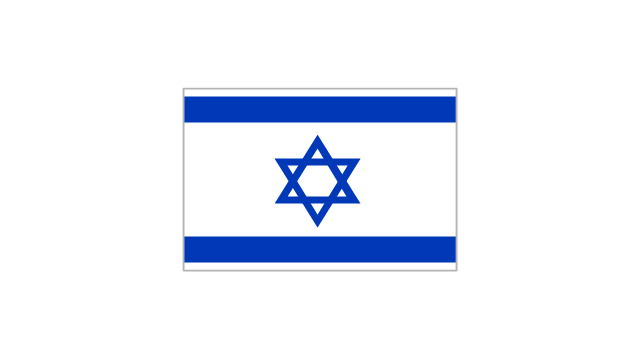
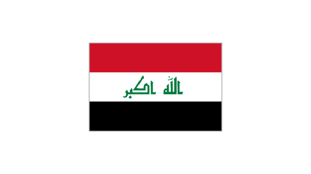
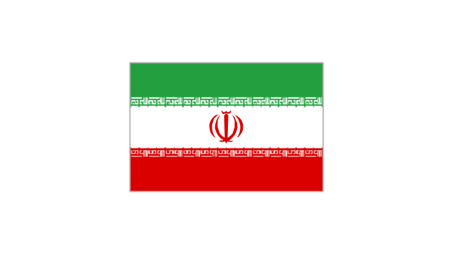
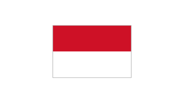
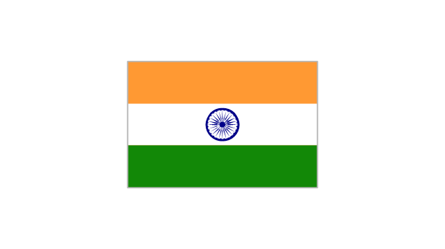
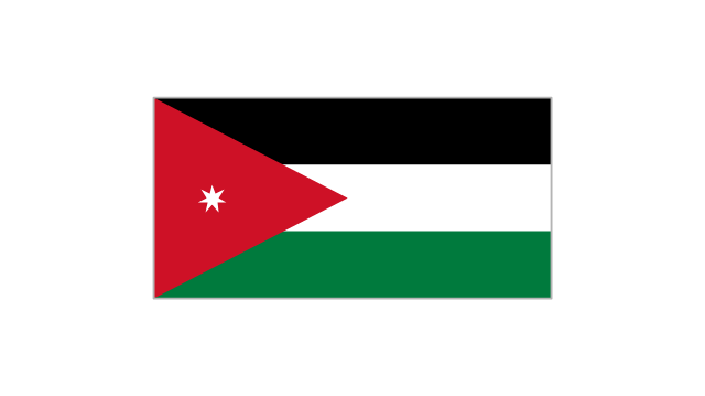
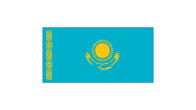
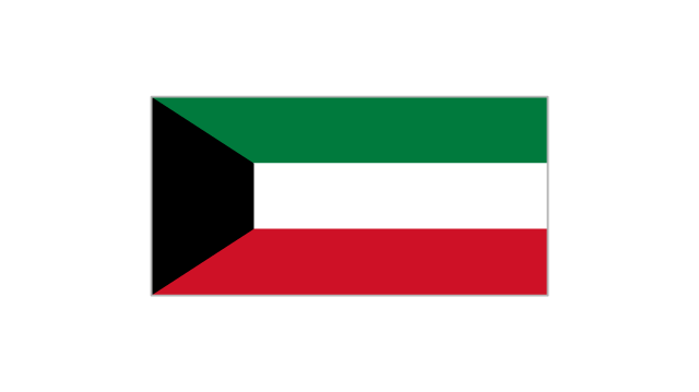
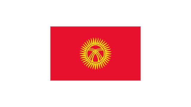
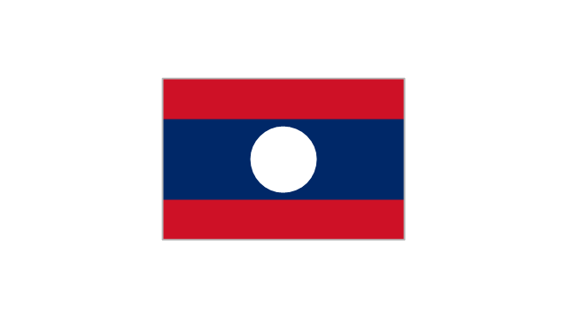
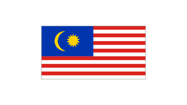
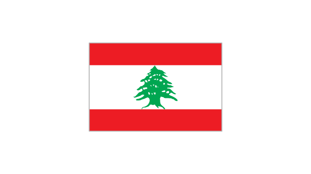
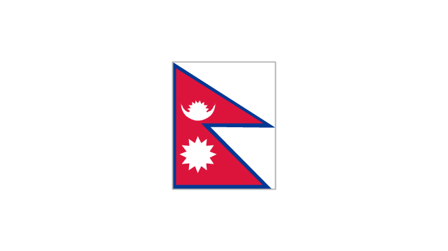
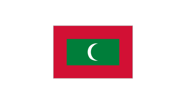
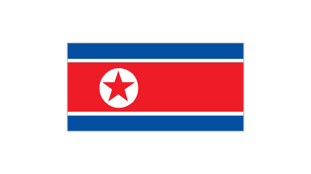
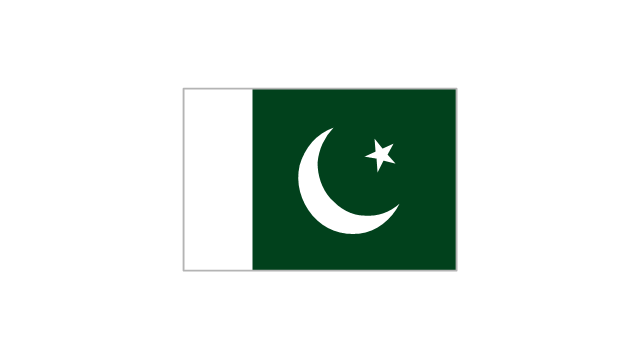
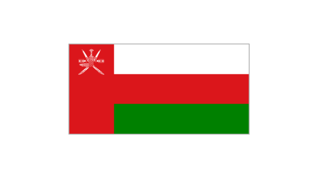
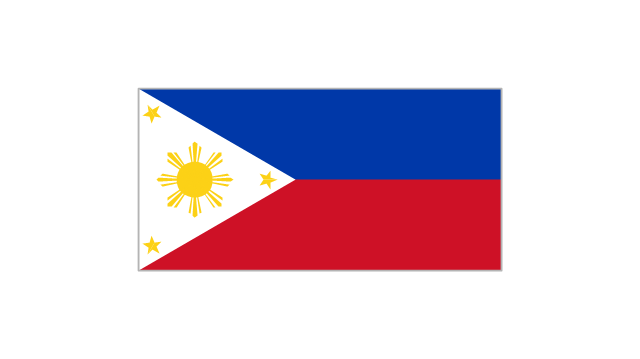
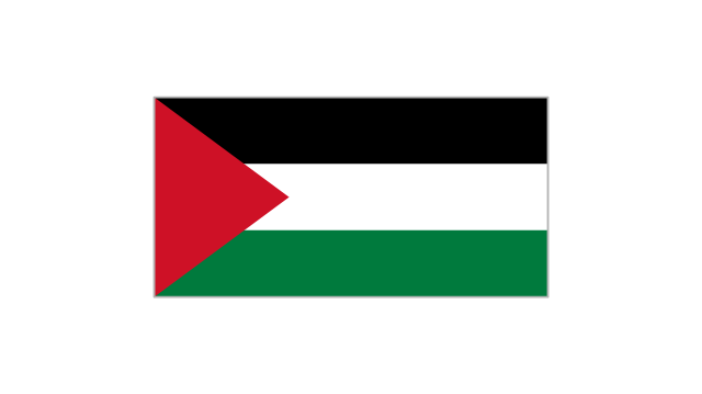
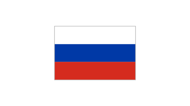
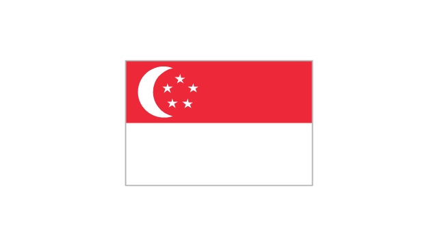
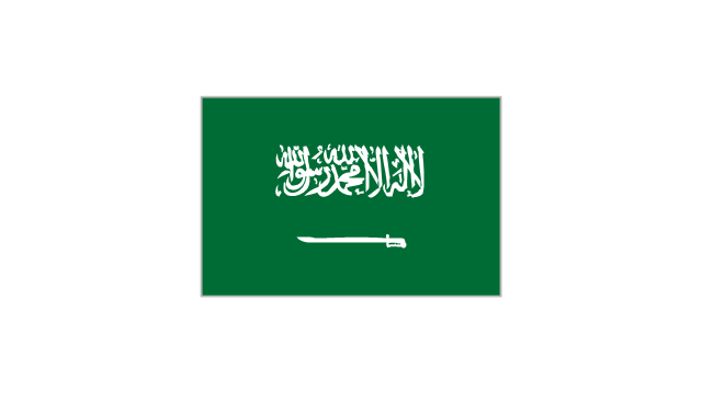
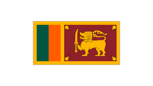
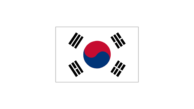
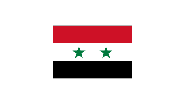
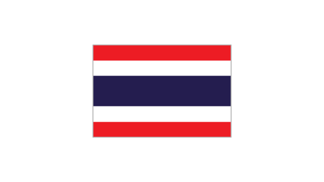
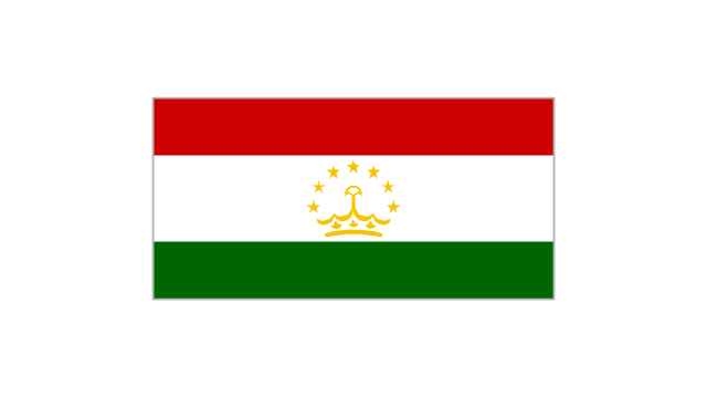
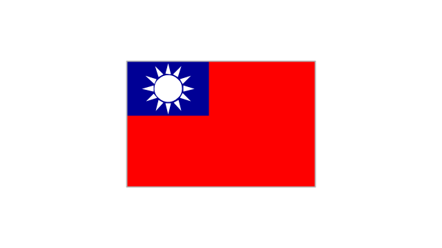
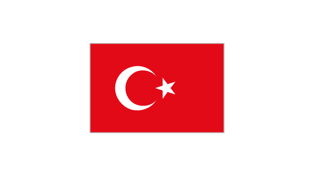
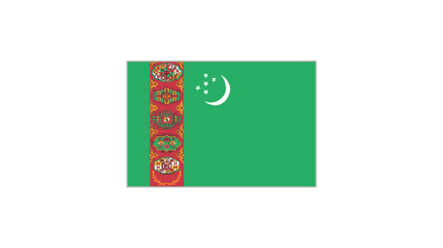
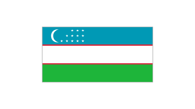
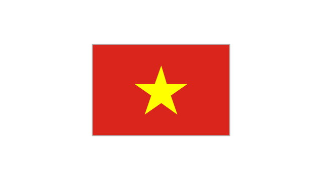
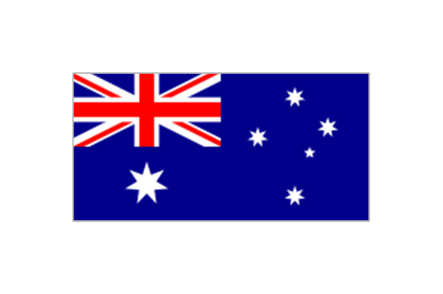
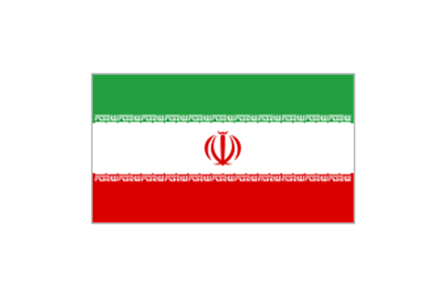
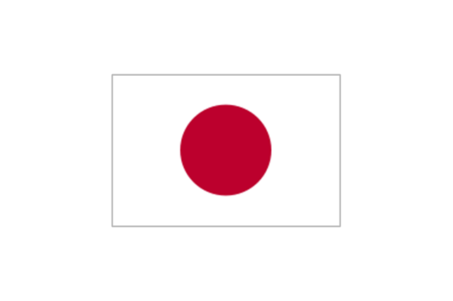
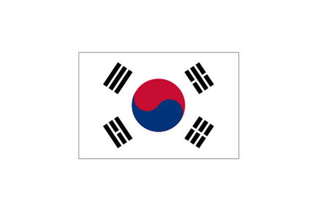
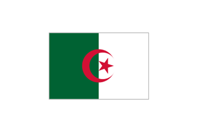
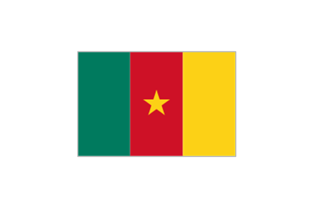
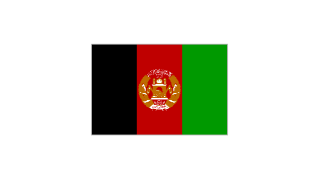
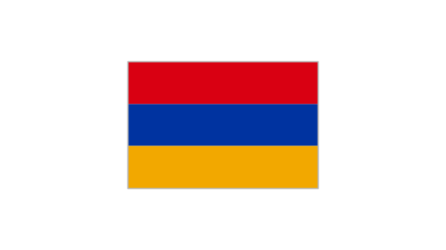
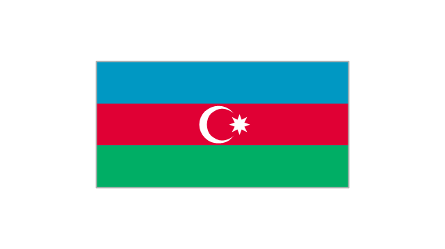
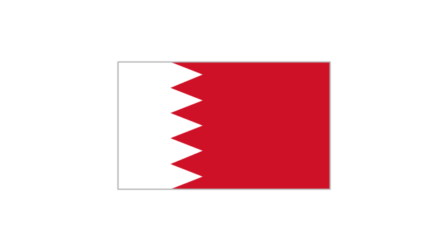
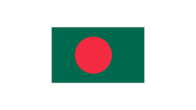
The vector stencils library "Asian country flags" contains 48 clipart images of Asia state flags.
Use the Asian country flags clip art to illustrate your business documents, presentation slides, web pages, geo maps and infographics.
The clip art example "Asian country flags - Vector stencils library" was created using the ConceptDraw PRO diagramming and vector drawing software extended with the Artwork solution from the Illustration area of ConceptDraw Solution Park.
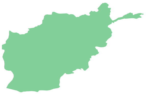
Geo Map - Asia - Afghanistan
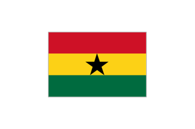
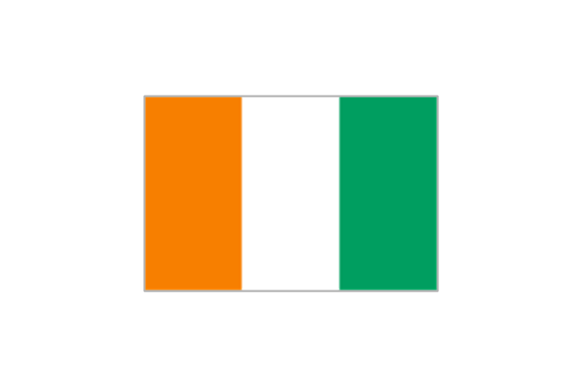
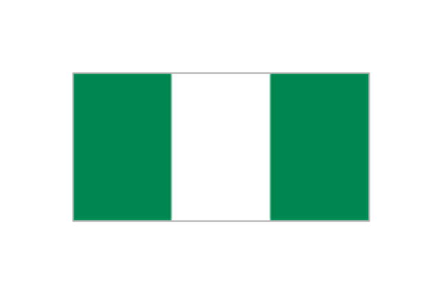
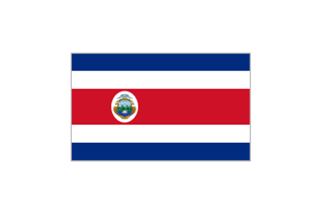
Afghanistan, officially the Islamic Republic of Afghanistan, is a landlocked sovereign state forming part of Central Asia, South Asia, and to some extent Western Asia. The vector stencils library Afghanistan contains contours for ConceptDraw PRO diagramming and vector drawing software. This library is contained in the Continent Maps solution from Maps area of ConceptDraw Solution Park.The vector stencils library "FIFA World Cup 2014 team flags" contains 32 FIFA World Cup 2014 team flags clipart.
Use these shapes to draw your FIFA World Cup infographics and illustrations in the ConceptDraw PRO diagramming and vector drawing software extended with the Soccer solution from the Sport area of ConceptDraw Solution Park.
www.conceptdraw.com/ solution-park/ sport-soccer
Use these shapes to draw your FIFA World Cup infographics and illustrations in the ConceptDraw PRO diagramming and vector drawing software extended with the Soccer solution from the Sport area of ConceptDraw Solution Park.
www.conceptdraw.com/ solution-park/ sport-soccer
Geo Map - Asia - Singapore
Singapore, officially the Republic of Singapore, is a sovereign city-state and island country in Southeast Asia. The vector stencils library Singapore contains contours for ConceptDraw PRO diagramming and vector drawing software. This library is contained in the Continent Maps solution from Maps area of ConceptDraw Solution Park.- Iran Vector Png
- Iran Map Vector Png
- Geo Map - Asia - Iran | Asia - Vector stencils library | Geo Map - Asia ...
- RCP - Prototype bathroom design | Iran Toilet Vector
- Geo Map - Asia - Afghanistan | Asia - Vector stencils library | Geo ...
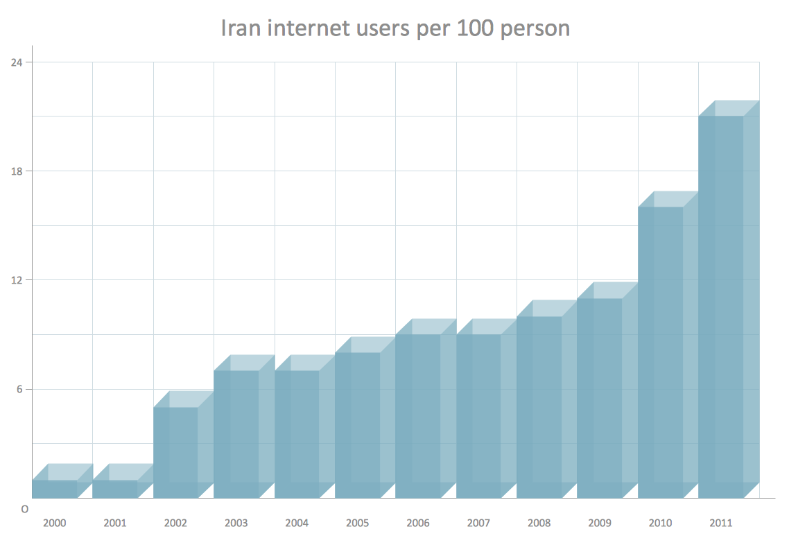
- Picture graphs - Vector stencils library | 3D Column chart - Iran ...
- Middle East Map Vector Free Download
- Geo Map - Asia - Iran
- Middle East Vector Map Png
- Map Of Afghanistan Vector Hd Png
- How To Draw Iran
- Geo Map - Asia - Malaysia | Geo Map - Asia - Iran | Geo Map - Asia ...
- Geo Map - Asia - Iraq | Geo Map - Asia - Iran | Geo Map - Asia ...
- Geo Map - Asia | Geo Map - Asia - Iran | Continent Maps | Middle ...
- Asia - Vector stencils library | Geo Map - Asia - Myanmar | Geo Map ...
- Asia - Vector stencils library
- Asia flags - Stencils library | Asian country flags - Vector stencils ...
- Geo Map - Asia - Iran | Geo Map - Asia - Turkmenistan | Geo Map ...
- Iran Map Logo Png
- Geo Map - Asia - United Arab Emirates | Geo Map - Asia - Iran | Geo ...


-asia---vector-stencils-library.png--diagram-flowchart-example.png)


-asia---vector-stencils-library.png--diagram-flowchart-example.png)




-asia---vector-stencils-library.png--diagram-flowchart-example.png)









-asian-country-flags---vector-stencils-library.png--diagram-flowchart-example.png)
