Geo Map - Asia - Iran
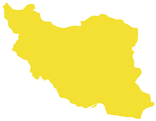
Iran, also known as Persia, officially the Islamic Republic of Iran since 1980, is a country in Western Asia. The vector stencils library Iran contains contours for ConceptDraw PRO diagramming and vector drawing software. This library is contained in the Continent Maps solution from Maps area of ConceptDraw Solution Park.Geo Map - Asia - Turkmenistan
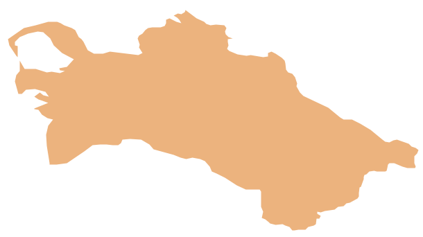
Turkmenistan, formerly also known as Turkmenia, is one of the Turkic states in Central Asia. The vector stencils library Turkmenistan contains contours for ConceptDraw PRO diagramming and vector drawing software. This library is contained in the Continent Maps solution from Maps area of ConceptDraw Solution Park.Geo Map - Asia - Azerbaijan
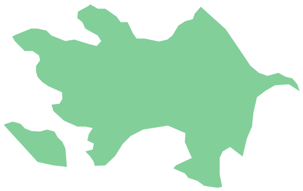
Azerbaijan, officially the Republic of Azerbaijan, is the largest country in the Caucasus region located at the crossroads of Western Asia and Eastern Europe. The vector stencils library Azerbaijan contains contours for ConceptDraw PRO diagramming and vector drawing software. This library is contained in the Continent Maps solution from Maps area of ConceptDraw Solution Park.Geo Map - Asia
ConceptDraw is idea to draw the geological maps of Asia from the pre-designed vector geo map shapes. Use Geo Map Asia to draw thematic maps, geospatial infographics and vector illustrations for your business documents, presentations and websites.Geo Map - Asia - Kazakhstan
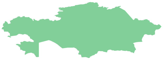
Kazakhstan, officially the Republic of Kazakhstan, is a contiguous transcontinental country in Central Asia, with its smaller part west of the Ural River in Eastern Europe. The vector stencils library Kazakhstan contains contours for ConceptDraw PRO diagramming and vector drawing software. This library is contained in the Continent Maps solution from Maps area of ConceptDraw Solution Park.The vector stencils library "Asia" contains 57 Asian state map contours for drawing thematic and political maps of Asia. Use it for visual representation of geospatial information, statistics and quantitative data.
"Asia is the Earth's largest and most populous continent, located primarily in the eastern and northern hemispheres. ... Countries: 49 (and 5 disputed)." [Asia. Wikipedia]
The state map contours example "Asia - Vector stencils library" was created using the ConceptDraw PRO diagramming and vector drawing software extended with the Continent Maps solution from the Maps area of ConceptDraw Solution Park.
The vector stencils library "Asia" contains 57 Asian state map contours for drawing thematic and political maps of Asia. Use it for visual representation of geospatial information, statistics and quantitative data.
"Asia is the Earth's largest and most populous continent, located primarily in the eastern and northern hemispheres. ... Countries: 49 (and 5 disputed)." [Asia. Wikipedia]
The state map contours example "Asia - Vector stencils library" was created using the ConceptDraw PRO diagramming and vector drawing software extended with the Continent Maps solution from the Maps area of ConceptDraw Solution Park.
- Caspian Sea Png
- Geo Map - Asia - Philippines | Asia - Vector stencils library | Asia ...
- Sea Cartoon
- Sea Vector Png
- Sea Clipart
- Drawings Of Mountains And Sea
- Drainage Clipart For Map Png
- Sea Png
- Sea River Png
- Basin With Water Clipart Png
- Water Lake Clipart
- Philippines Map Clipart Png
- How can you illustrate the weather condition | Beauty in nature ...
- Northern Asia Political Map
- Sea Water
- Sea Water Png
- Geography - Vector stencils library
- Geo Map - Asia - Vietnam | Central Asia - Political map | Continent ...
- Aerospace - Design Elements | Watercraft - Design Elements | Asia ...
- Indonesia Map Clipart Vector


-asia---vector-stencils-library.png--diagram-flowchart-example.png)


-asia---vector-stencils-library.png--diagram-flowchart-example.png)


