Map of Germany
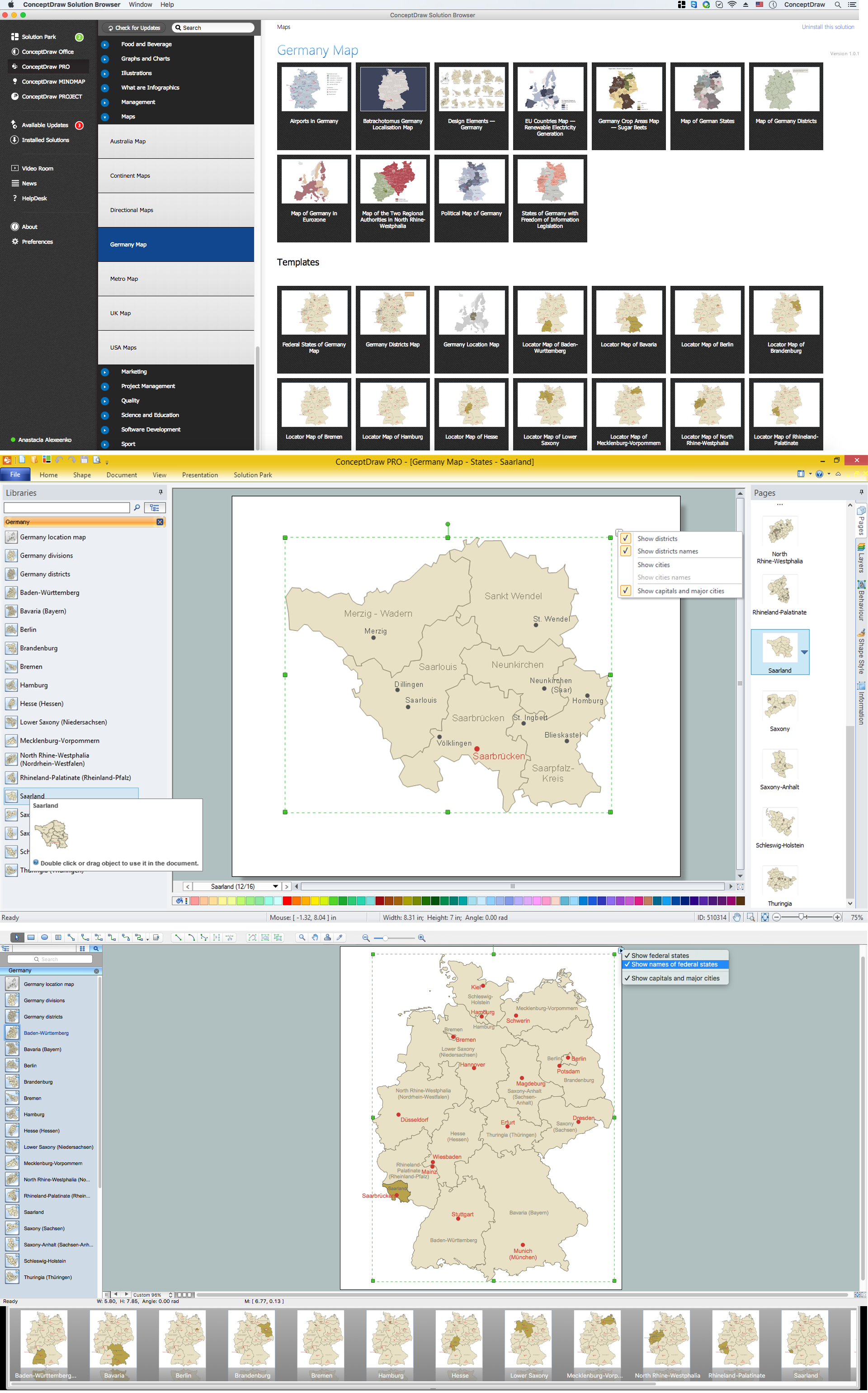
Germany, officially the Federal Republic of Germany, is a federal parliamentary republic in West-Central Europe. You need design the map of Germany or detailed map of Germany with cities fast and easy? We reccomend you to use the indispensable ConceptDraw PRO diagramming and vector drawing software extended with unique Germany Map Solution from the Maps Area of ConceptDraw Solution Park.Map of Germany — Saarland State
The Saarland is one of the sixteen federal states (or Bundesländer) of Germany. The capital city is Saarbrücken. Despite the fact that the maps surround us everywhere in our life, usually the process of their drawing is sufficienly complex and labor-intensive. But now, thanks to the ConceptDraw PRO diagramming and vector drawing software extended with Germany Map Solution from the Maps Area of ConceptDraw Solution Park, we have the possibility to make easier this process. Design fast and easy your own pictorial maps of Germany, map of Germany with cities, and thematic Germany maps in ConceptDraw PRO!UK Map
The United Kingdom of Great Britain and Northern Ireland, commonly known as the United Kingdom (UK), is a sovereign state in Europe which consists of four countries: England, Scotland, Wales, and Northern Ireland. UK is surrounded by the waters of Atlantic ocean, the North Sea, the English Channel, and the Irish Sea and includes large number of big and small islands. ConceptDraw PRO diagramming and vector drawing software offers the unique Map of UK Solution from the Maps Area of ConceptDraw Solution Park that is indispensable for easy drawing professional looking map of UK, UK counties map, UK map with cities, map of Scotland, map of England, map of Wales, Northern Ireland map.Vector Map of Germany
Vector map is the best way to visually present a world, continents, islands, to display location and boundaries of countries and cities. ConceptDraw PRO diagramming and vector drawing software offers the Germany Map Solution from the Maps Area of ConceptDraw Solution Park - the best tool for fast and easy drawing vector map of Germany of any degree of detailing, and thematic cartograms and maps of Germany on its base.USA Map
Usually designing of maps, including the USA Map is a quite complex, long and labour-intensive process. But now we have an excellent possibility to make it easier with ConceptDraw PRO diagramming and vector drawing software extended with powerful USA Maps Solution from the Maps Area of ConceptDraw Solution Park.World Continents Map
ConceptDraw PRO diagramming and vector drawing software enhanced with Continent Maps Solution from the Maps Area is the best for drawing geographic, topography, political, and many other kinds of maps for any of seven earth continents and also world continents map of any detailing.Geo Map Software
Geo Map Software - Full Geographic Reach of Your Business with Geo Map Shapes.7 Continents Map
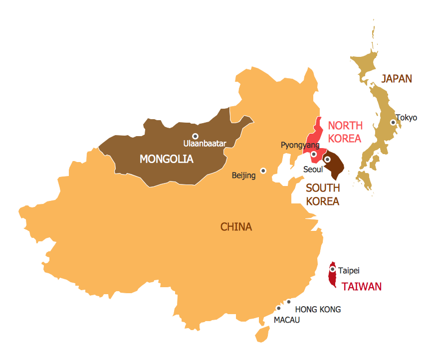
A continent is a large area of land washed by the seas. There are 7 continents on the Earth: Asia, Africa, North America, South America, Antarctica, Europe, and Australia. If you want create the 7 Continents Map, we offer you incredibly useful tool for this - ConceptDraw PRO diagramming and vector drawing software extended with Continent Maps Solution from the Maps Area of ConceptDraw Solution Park.Continents Map
Designing of Continents Map is a quite complex and labour-intensive process. But now we have a way to make it easier - ConceptDraw PRO diagramming and vector drawing software extended with useful drawing tools of Continent Maps Solution from the Maps Area.Geo Map - Europe - Norway
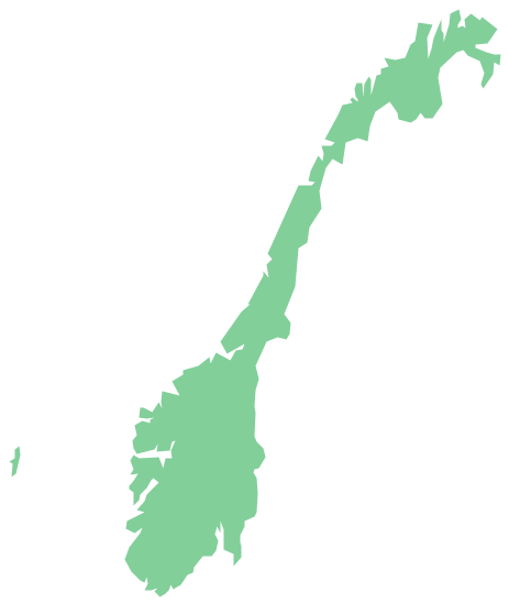
The vector stencils library Norway contains contours for ConceptDraw PRO diagramming and vector drawing software. This library is contained in the Continent Maps solution from Maps area of ConceptDraw Solution Park.MindMap of Baden-Württemberg Districts
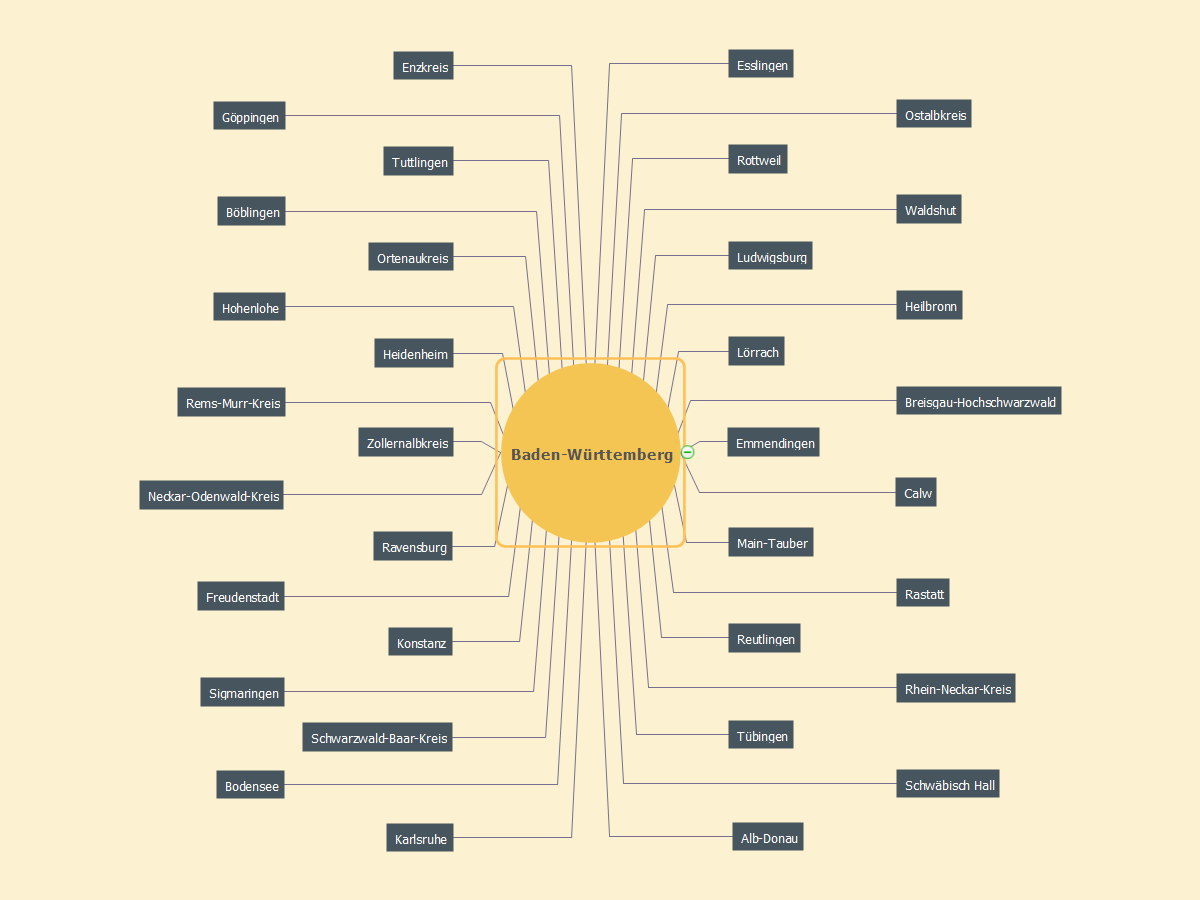
ConceptDraw MINDMAP software is ideal for designing various Mind Maps, for representing characteristics of different cities, regions, countries and continents. The Germany is not exception, the ConceptDraw MINDMAP assists in designing different Germany related Mind Maps. A given Mind Map is also created in ConceptDraw MINDMAP and illustrates the districts of Baden-Württemberg that is the Germany's state situated in the southwest and east of the Upper Rhine. Baden-Württemberg state is the third largest in Germany by size and population, Stuttgart is its capital. The list of districts contains Alb-Donau, Biberach, Bodensee, Böblingen, Breisgau-Hochschwarzwald, Calw, Enzkreis, Emmendingen, Esslingen, Freudenstadt, Göppingen, Heidenheim, Hohenlohe, Heilbronn, Karlsruhe, Konstanz (Constance), Ludwigsburg, Lörrach, Main-Tauber, Neckar-Odenwald-Kreis, Ostalbkreis, Ortenaukreis, Rastatt, Reutlingen, Ravensburg, Rems-Murr-Kreis, Rhein-Neckar-Kreis, Rottweil, Sigmaringen, Schwäbisch Hall, Schwarzwald-Baar-Kreis, Tuttlingen, Tübingen, Waldshut, Zollernalbkreis.Continents and Oceans Map
You need design a continent map, world continents map, continents and oceans map, or any other type of continent maps? Now, it's very easy thanks to the ConceptDraw PRO diagramming and vector drawing software supplied with Continent Maps Solution from the Maps Area of ConceptDraw Solution Park.Geo Map - USA - Ohio
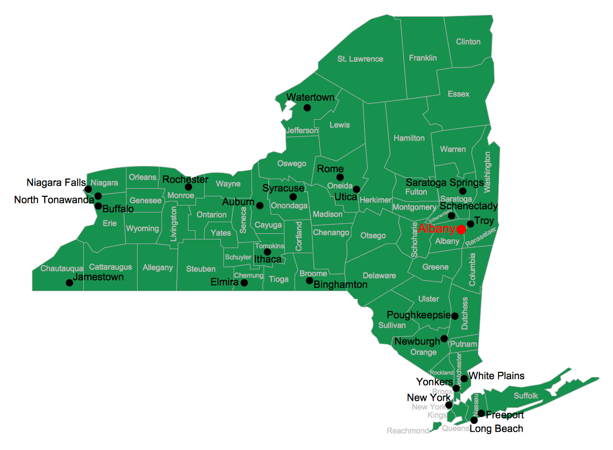
Ohio is a state in the Midwestern United States. The vector stencils library Ohio contains contours for ConceptDraw PRO diagramming and vector drawing software. This library is contained in the Continent Maps solution from Maps area of ConceptDraw Solution Park.ConceptDraw Arrows10 Technology
How should diagramming software work? Is it possible to develop a diagram as quickly as the ideas come to you? The innovative ConceptDraw Smart Connectors Technology - This is more than enough versatility to draw any type of diagram with any degree of complexity. Connection points are necessary for diagramming network, flowchart and organizational charts. In ConceptDraw you connect shapes by attaching, or snapping and gluing, connectors to shape connection points.Map of Continents
A continent is one of several very large landmasses on Earth. ConceptDraw PRO diagramming and vector drawing software offers the unique Continent Maps Solution from the Maps Area which is indispensable for drawing the map of continents of the Earth.- How To Print Audio & Video Connectors Schema in a Large Format ...
- 7 Continents Map
- Geo Map - United States of America Map | USA Map States | Map of ...
- Geo Map - Asia - Philippines | Continents Map | Map of Germany ...
- Large Map Of Asia
- Map of Germany — Saarland State | Germany Map | Map of ...
- Map of Germany — Hesse State | How to Create a Map of Germany ...
- World Continents Map | 7 Continents Map | Map of Continents ...
- 7 Continents Map
- UK Map | Map of Germany | Geo Map - Asia - Philippines ...
- Map of Germany | UK Map | Map of Continents | Philippines Easy ...
- UK Map | Map of Germany | Map of Continents | Easy Sketch Of ...
- Map of Germany | UK Map | Map of Continents | Easy Drawing Of ...
- Map of Germany
- Basketball Court Dimensions | SWOT Analysis | Map of Germany ...
- Vector Map of Germany | Geo Map - United States of America Map ...
- UK Map | Map of Germany | Subway Train Map | Drawing Map Of ...
- Vector Map of Germany | Maps of Germany With Cities | Map of ...
- UK Map | Geo Map - Asia - Vietnam | Map of Germany | How To ...

