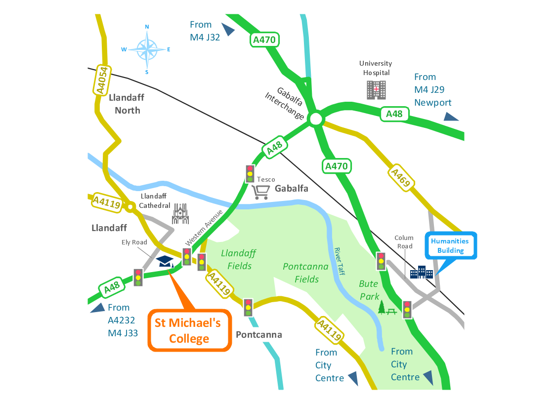
Spatial infographics Design Elements: Location Map
Infographic Design Elements for visually present various geographically distributed information.Bubble diagrams in Landscape Design with ConceptDraw DIAGRAM
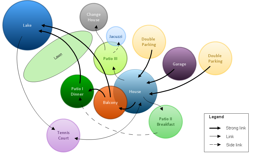
Bubble Diagrams are the charts with a bubble presentation of data with obligatory consideration of bubble's sizes. They are analogs of Mind Maps and find their application at many fields, and even in landscape design. At this case the bubbles are applied to illustrate the arrangement of different areas of future landscape design, such as lawns, flowerbeds, playgrounds, pools, recreation areas, etc. Bubble Diagram helps to see instantly the whole project, it is easy for design and quite informative, in most cases it reflects all needed information. Often Bubble Diagram is used as a draft for the future landscape project, on the first stage of its design, and in case of approval of chosen design concept is created advanced detailed landscape plan with specification of plants and used materials. Creation of Bubble Diagrams for landscape in ConceptDraw DIAGRAM software is an easy task thanks to the Bubble Diagrams solution from "Diagrams" area. You can use the ready scanned location plan as the base or create it easy using the special ConceptDraw libraries and templates.Spatial infographics Design Elements: Transport Map
Do you like infographics and data visualization? Creating infographics is super-easy with ConceptDraw.Map Infographic Tool
ConceptDraw is a data visualization tool, which can help you to create a map infographics. Anyone can do this, it's that easy!Excellent Examples of Infographic Maps
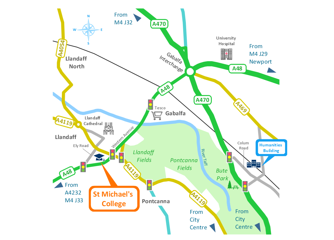
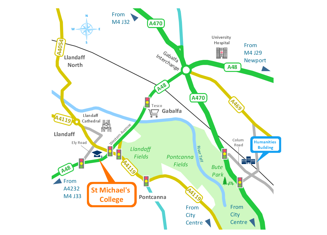
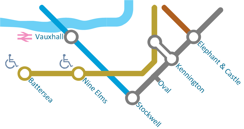
Create Spatial infographics with ConceptDraw using its excellent examples of infographic maps. We hope these can inspire and teach you!Brilliant Examples of Infographics Map, Transport, Road
ConceptDraw DIAGRAM contains spatial infographics samples, map templates to be filled in, and libraries of vector stencils for main design elements of spatial infographics.
 Directional Maps
Directional Maps solution extends ConceptDraw DIAGRAM software with templates, samples and libraries of vector stencils for drawing the directional, location, site, transit, road and route maps, plans and schemes.
Map Infographic Design
ConceptDraw collection of vector elements for infographics design.
 Network Layout Floor Plans
Network Layout Floor Plans solution extends ConceptDraw DIAGRAM software functionality with powerful tools for quick and efficient documentation the network equipment and displaying its location on the professionally designed Network Layout Floor Plans. Never before creation of Network Layout Floor Plans, Network Communication Plans, Network Topologies Plans and Network Topology Maps was not so easy, convenient and fast as with predesigned templates, samples, examples and comprehensive set of vector design elements included to the Network Layout Floor Plans solution. All listed types of plans will be a good support for the future correct cabling and installation of network equipment.
- Building Drawing Software for Design Site Plan | Directions Maps ...
- Fire Exit Plan . Building Plan Examples | How To Draw Building ...
- Site Plans | Building Drawing Software for Design Site Plan ...
- Road Maps Location
- Site layout plan | Directions Maps | Warehouse layout floor plan ...
- Brilliant Examples of Infographics Map , Transport, Road | Directional ...
- 3d Neighborhood Plan Drawing
- Building Drawing Software for Design Sport Fields | How To use ...
- Samples Of Location Plan
- Spatial infographics Design Elements: Location Map | Conference ...
- Site Maps
- Design elements - 3D directional maps | Directional Maps | Maps ...
- Map Directions | Maps and Directions | Sign Making Software ...
- Directions Maps | Maps and Directions | Directions Map | Drawing ...
- Diagram Of A Location Plan
- How To Create Restaurant Floor Plan in Minutes | Best Value ...
- Healthy Diet Plan | Room planning with ConceptDraw PRO ...
- Bubble diagrams in Landscape Design with ConceptDraw PRO ...
- How To Draw Building Plans | Landmarks - Vector stencils library ...
- 2D Directional map

