Spatial infographics Design Elements: Location Map
Infographic Design Elements for visually present various geographically distributed information.
 Network Layout Floor Plans
Network Layout Floor Plan solution extends ConceptDraw PR software with samples, templates and libraries of vector stencils for drawing the computer network layout floor plans.
HelpDesk
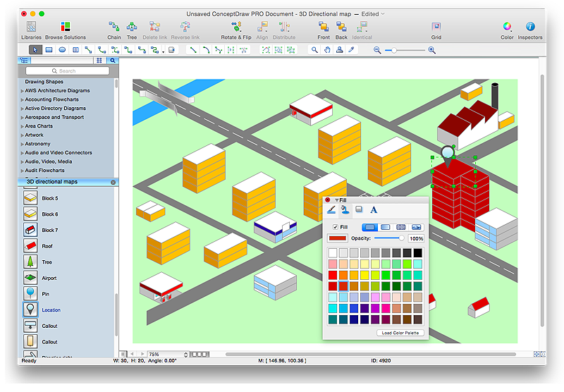
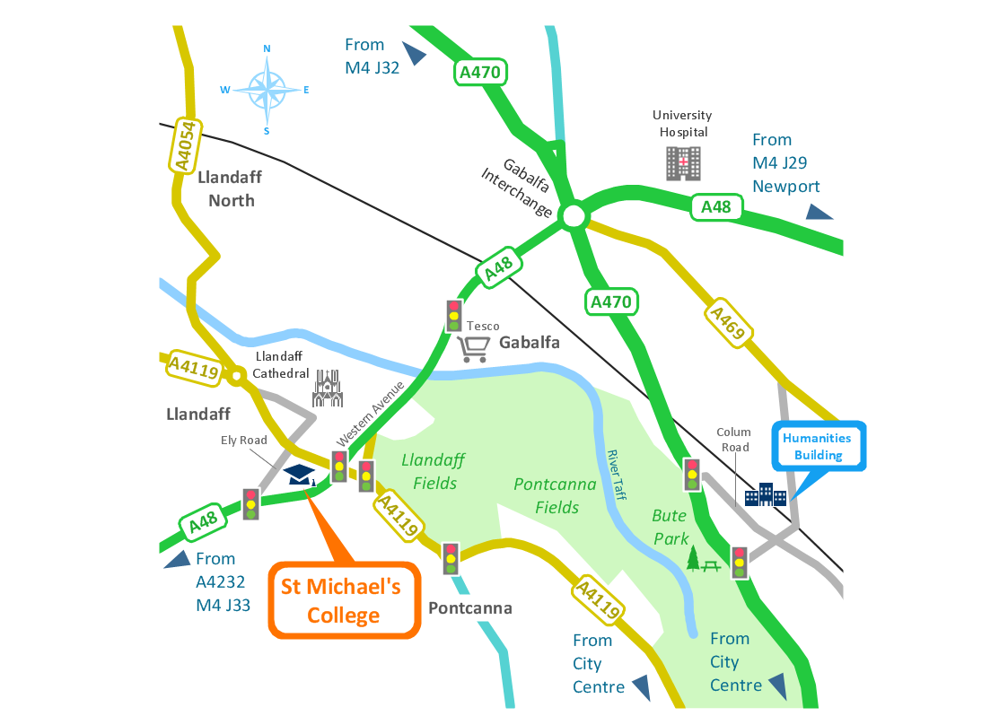
How to Create a Directional Map Using ConceptDraw PRO
Travelers often use directional maps to find directions for certain places. These maps are guide millions of tourists to explore towns and cities worldwide. Searching addresses on a map, view nearby businesses, get driving directions - this is only a little of what directional maps is needed. ConceptDraw PRO allows you to create various kinds of directional maps. You can easily visualize city maps or destinations with driving directions and traveler information using special vector stencils libraries.Brilliant Examples of Infographics Map, Transport, Road
ConceptDraw PRO contains spatial infographics samples, map templates to be filled in, and libraries of vector stencils for main design elements of spatial infographics.Map Infographic Design
ConceptDraw collection of vector elements for infographics design.- Vicinity Map Example
- Sample Of School Vicinity Map
- Example Of Vicinity Map Of The House Wityh Landmark
- Sample Of Vicinity Map
- Fire and Emergency Plans | Superb Examples of Infographic Maps ...
- Fire Exit Plan . Building Plan Examples | How To use House ...
- Sample Vicinity Map For A Restaurant
- Evacuation Route Map Sample
- Sample Of Simple Vicinity Map


