 Germany Map
The Germany Map solution contains collection of samples, templates and scalable vector stencil graphic maps, representing map of Germany and all 16 states of Germany. Use the Germany Map solution from ConceptDraw Solution Park as the base for various them
 USA Maps
Use the USA Maps solution to create a map of USA, a US interstate map, printable US maps, US maps with cities and US maps with capitals. Create a complete USA states map.
 Directional Maps
Directional Maps solution extends ConceptDraw PRO software with templates, samples and libraries of vector stencils for drawing the directional, location, site, transit, road and route maps, plans and schemes.
 Business Package for Management
Package intended for professional who designing and documenting business processes, preparing business reports, plan projects and manage projects, manage organizational changes, prepare operational instructions, supervising specific department of an organization, workout customer service processes and prepare trainings for customer service personal, carry out a variety of duties to organize business workflow.
 IDEF Business Process Diagrams
Use the IDEF Business Process Diagrams solution to create effective database designs and object-oriented designs, following the integration definition methodology.
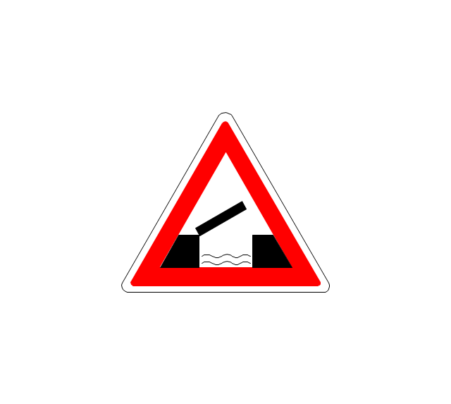
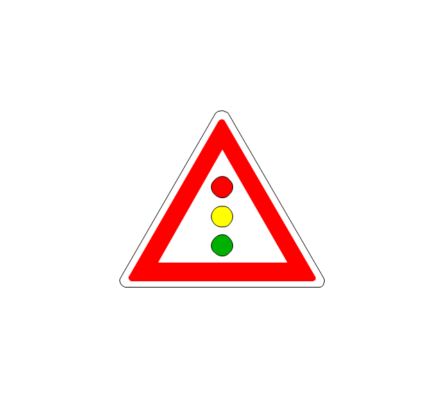
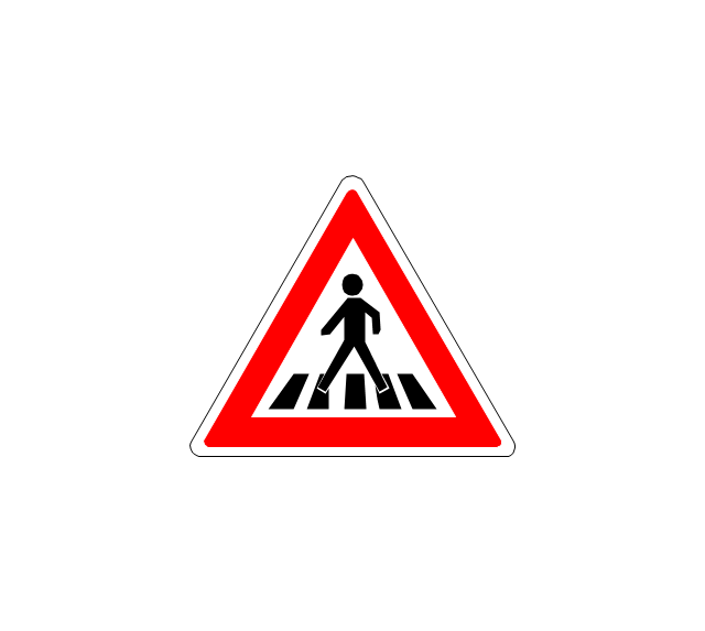
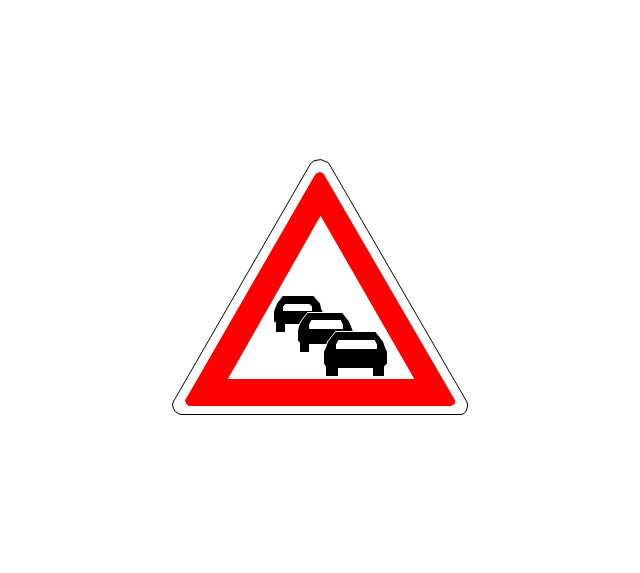
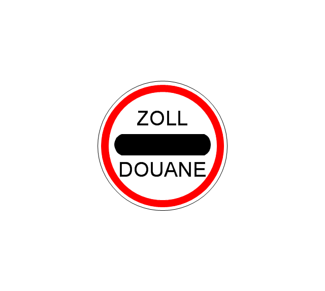
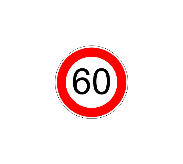
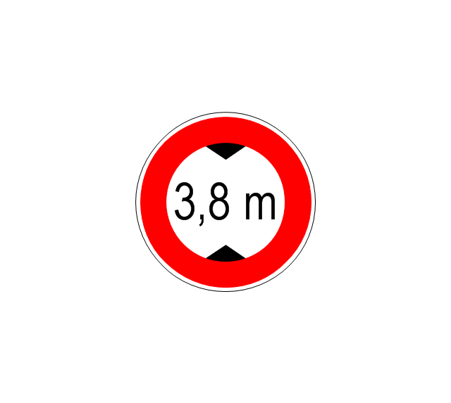
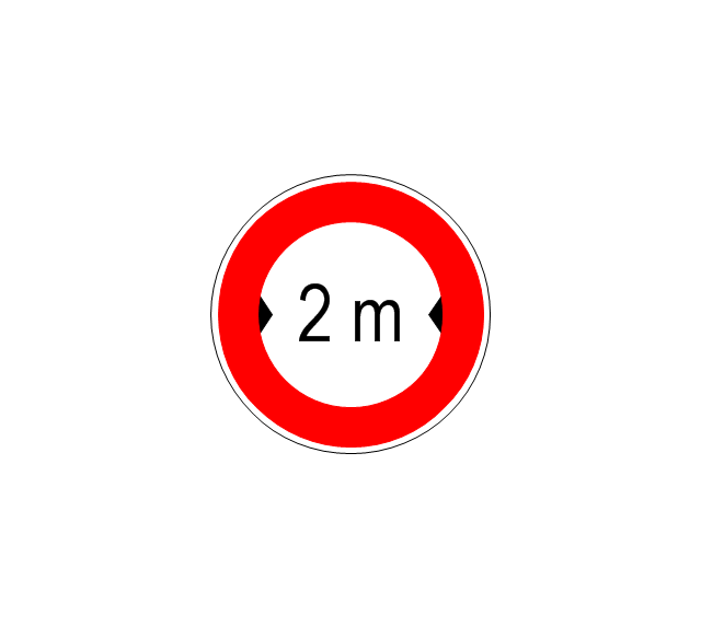
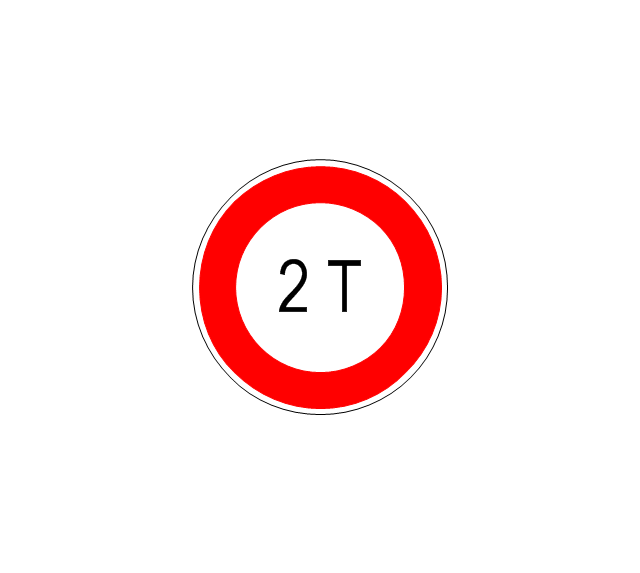
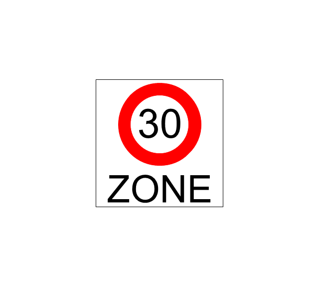
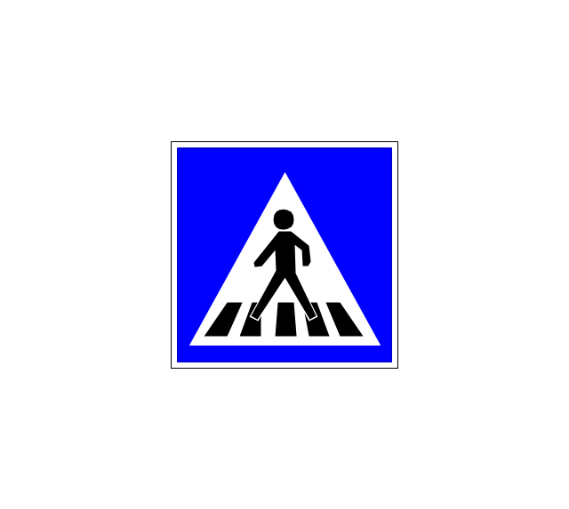
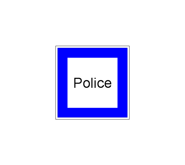
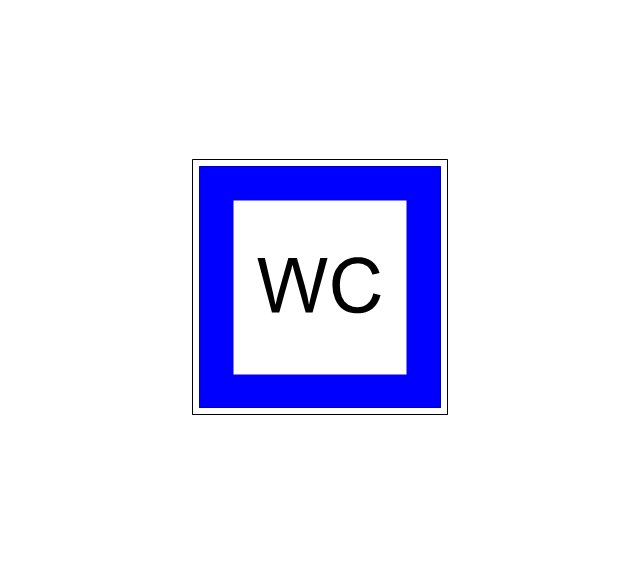
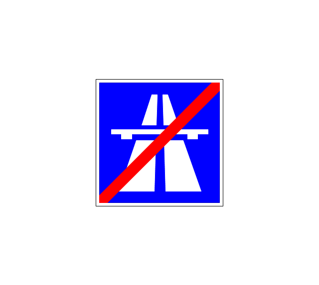
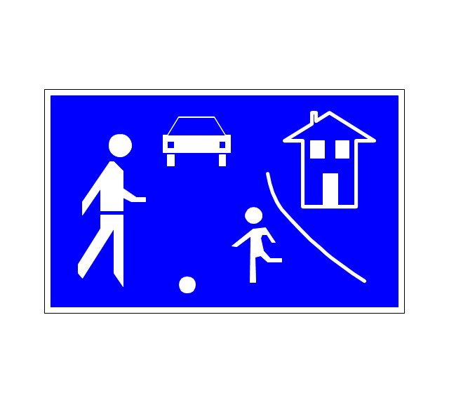
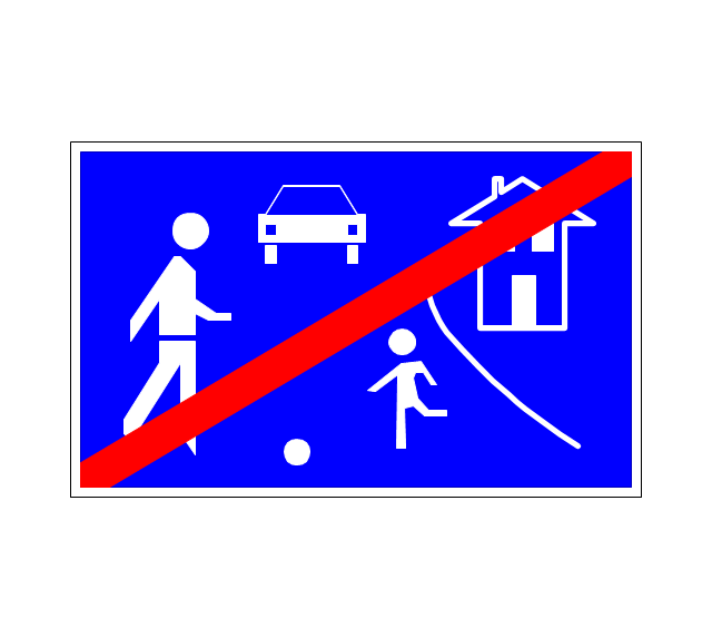
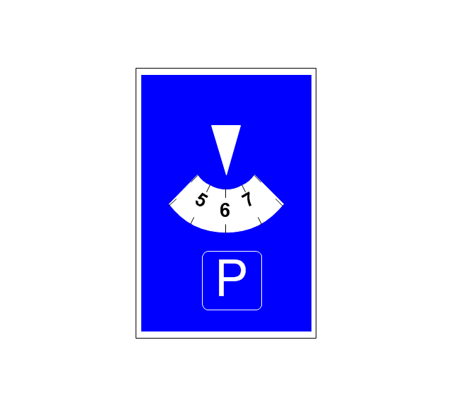
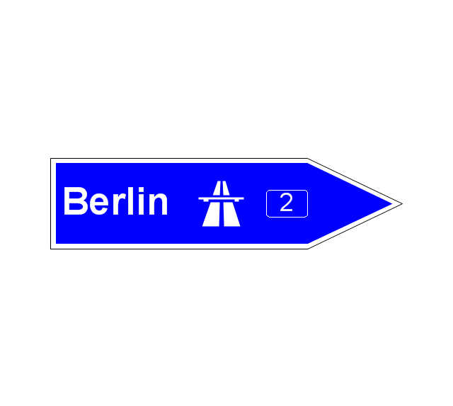
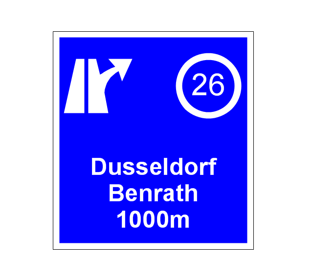
The vector stencils library "Road signs" contains 58 symbols of road signs for labeling the road and route maps, directional and transit maps, street and locator maps.
"Traffic signs or road signs are signs erected at the side of or above roads to give instructions or provide information to road users.
... many countries have adopted pictorial signs or otherwise simplified and standardized their signs to overcome language barriers, and enhance traffic safety. Such pictorial signs use symbols (often silhouettes) in place of words and are usually based on international protocols. Such signs were first developed in Europe, and have been adopted by most countries to varying degrees." [Traffic sign. Wikipedia]
The pictograms example "Road signs - Vector stencils library" was created using the ConceptDraw PRO diagramming and vector drawing software extended with the Directional Maps solution from the Maps area of ConceptDraw Solution Park.
www.conceptdraw.com/ solution-park/ maps-directional
- Sample Pictorial Chart . Sample Infographics | Spatial infographics ...
- Elements location of a welding symbol | Spatial infographics Design ...
- Exit Locator Chart Or Evacuation Plan Chart
- Flow chart Example. Warehouse Flowchart | Rolla USGS Center ...
- Elements location of a welding symbol | How To use House ...
- Spatial infographics Design Elements: Location Map | How To use ...
- Germany location map - Template | Spatial infographics Design ...
- USA Maps | Design elements - Location map | How To Draw ...
- Spatial infographics Design Elements: Location Map | Design ...
- Spatial infographics Design Elements: Location Map | Brilliant ...
- Spatial infographics Design Elements: Location Map | Brilliant ...
- Map symbols - Vector stencils library | Design elements - Location ...
- Directional Maps | Design elements - 3D directional maps | 3D ...
- Design elements - Road signs | Design elements - Location map ...
- Multiple Location Network Diagrams
- Location of the Migration Health Assessment Center (MHAC ...
- Spatial infographics Design Elements: Location Map | Visualization ...
- Hotel locator map | Hotel Network Topology Diagram | Fire Exit Plan ...
- Design elements - Location map | Sign Making Software | Map ...
- Design elements - Transport map | Design elements - Location map ...




































-road-signs---vector-stencils-library.png--diagram-flowchart-example.png)

-road-signs---vector-stencils-library.png--diagram-flowchart-example.png)