Map Software
Create maps, flags, and more with ConceptDrawContinents Map
Designing of Continents Map is a quite complex and labour-intensive process. But now we have a way to make it easier - ConceptDraw DIAGRAM diagramming and vector drawing software extended with useful drawing tools of Continent Maps Solution from the Maps Area.Geo Map - Europe - Austria
The vector stencils library Austria contains contours for ConceptDraw DIAGRAM diagramming and vector drawing software. This library is contained in the Continent Maps solution from Maps area of ConceptDraw Solution Park.Geo Map - Europe - Serbia
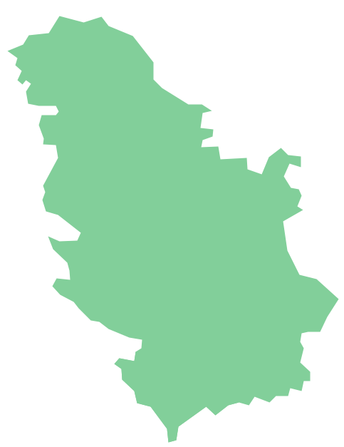
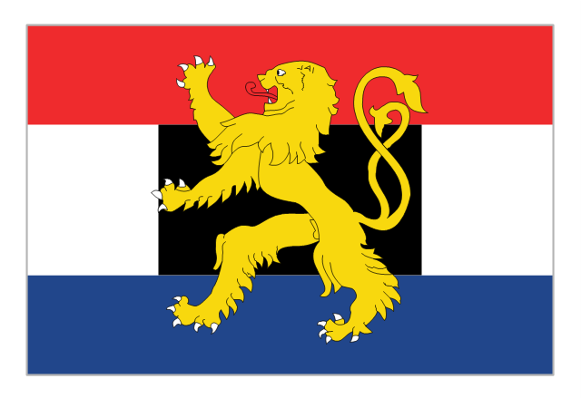
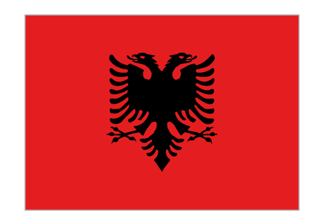
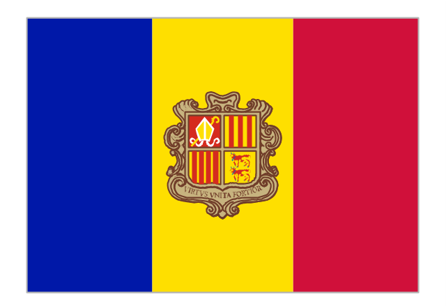
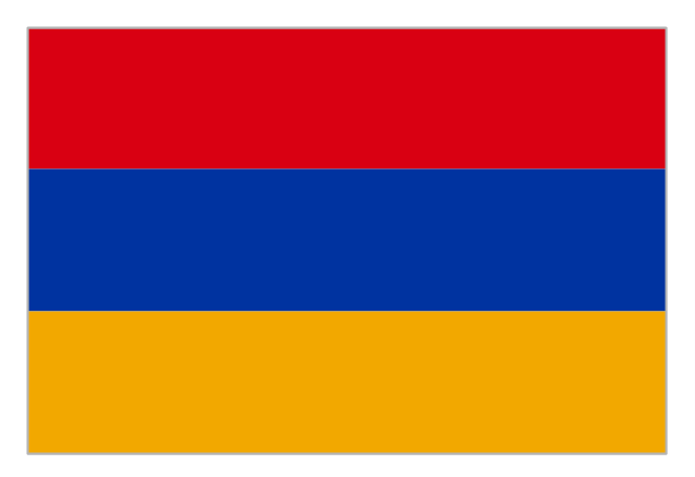
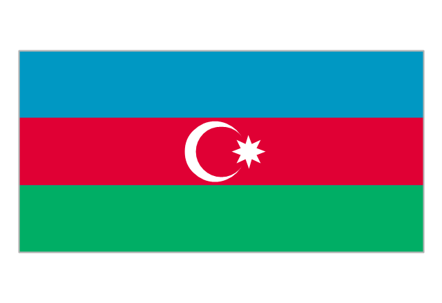
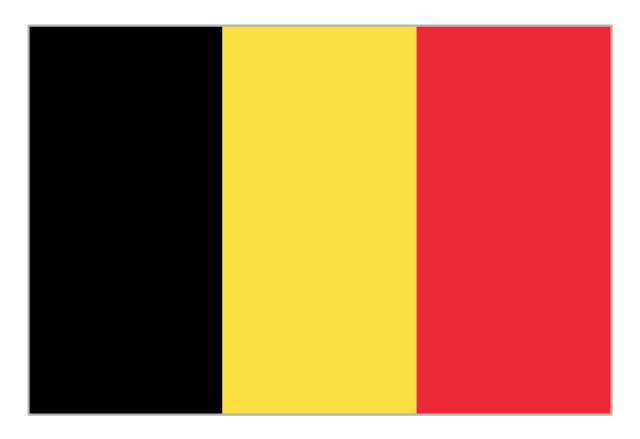
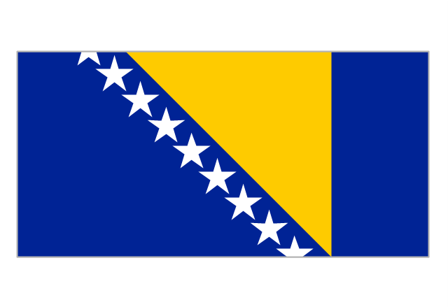
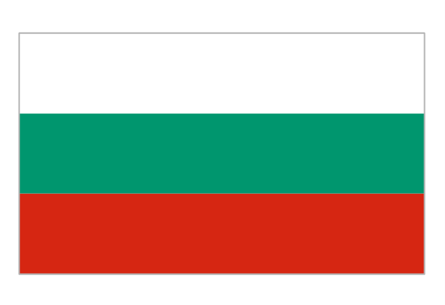
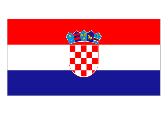
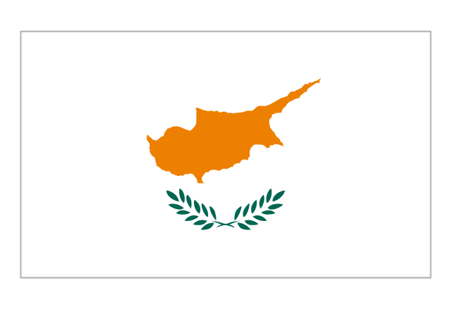
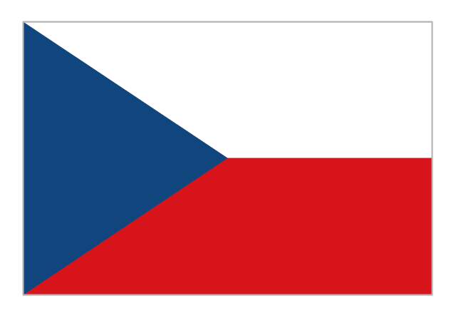
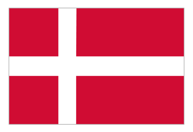
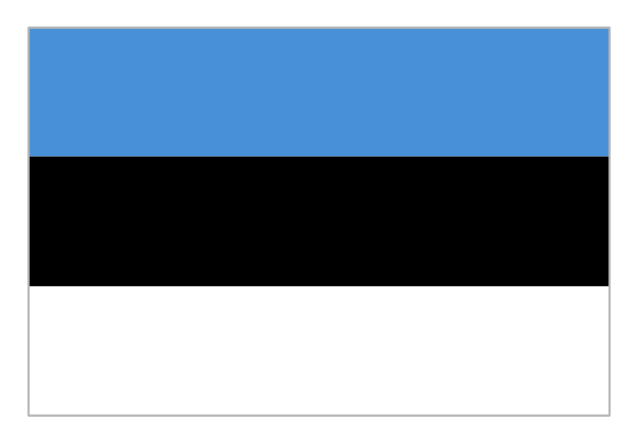
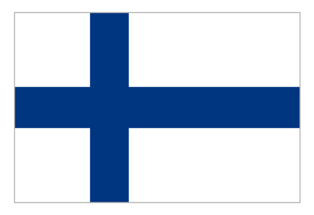
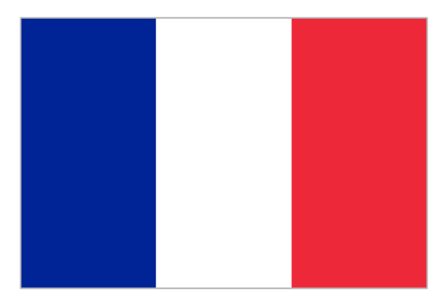
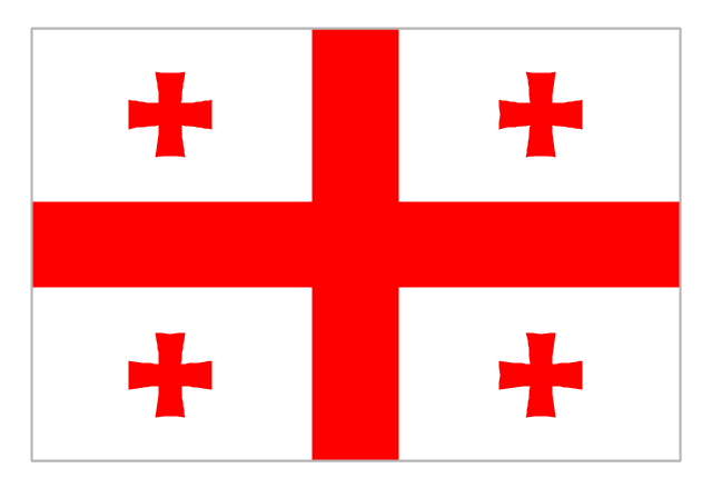
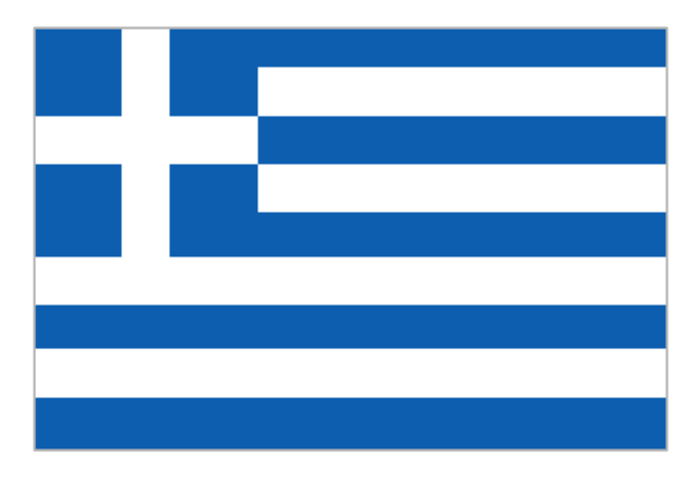
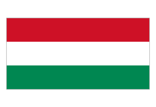
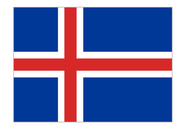
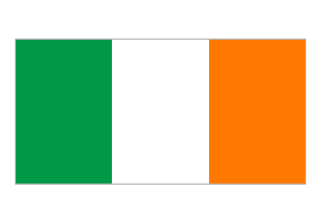
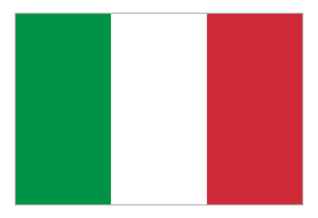
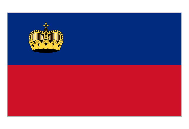
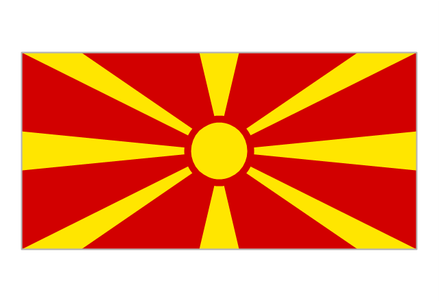
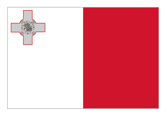
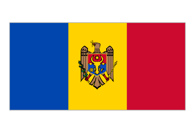
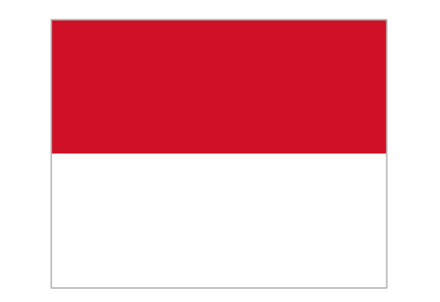
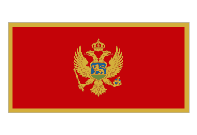
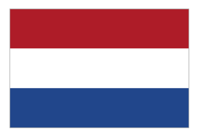
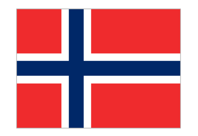
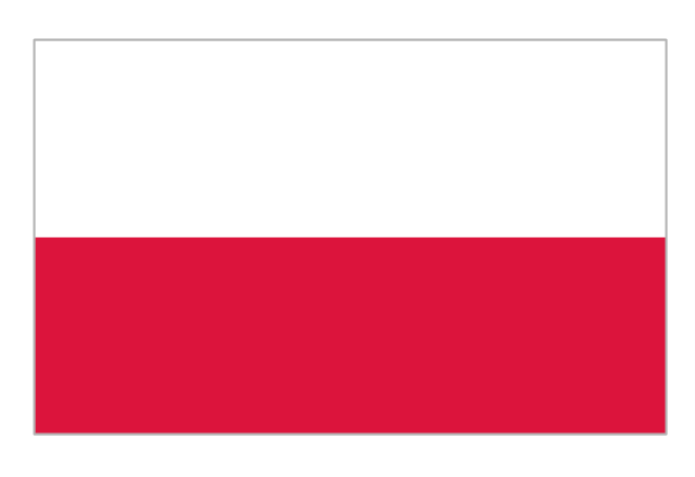
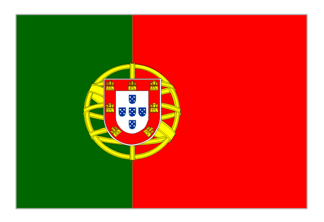
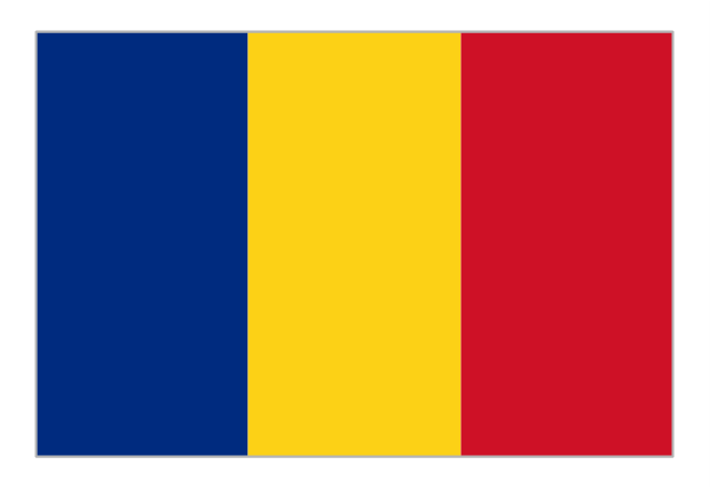
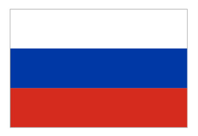
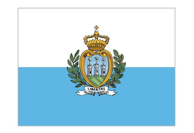
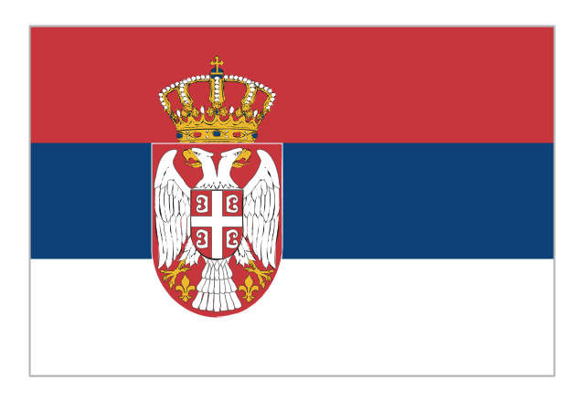
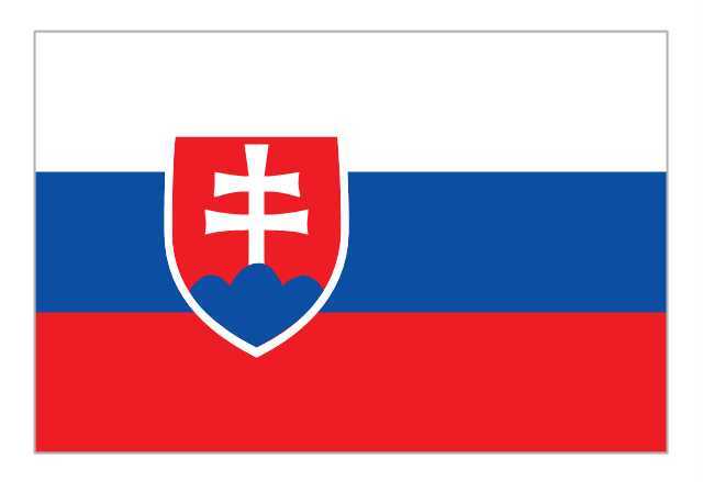
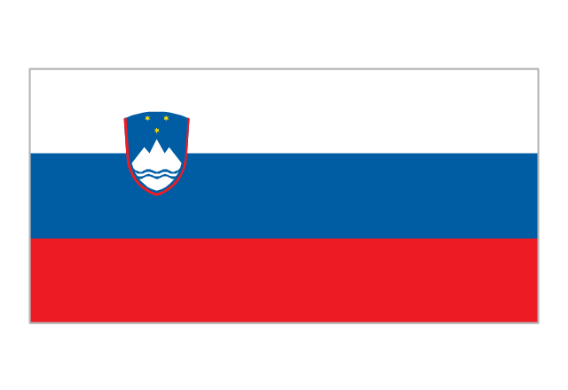
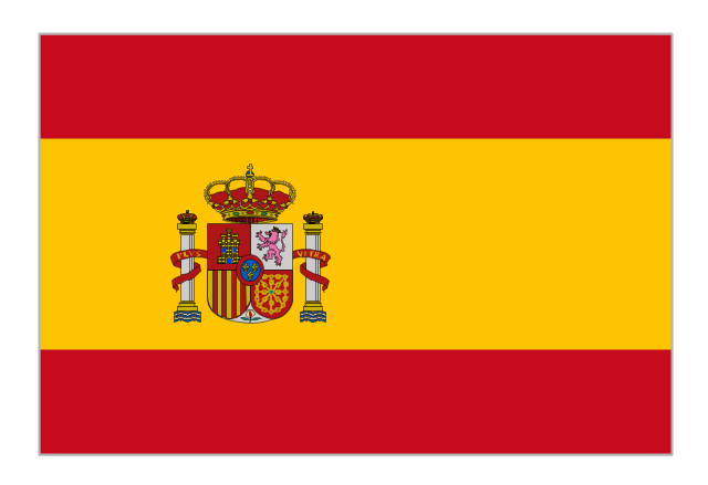
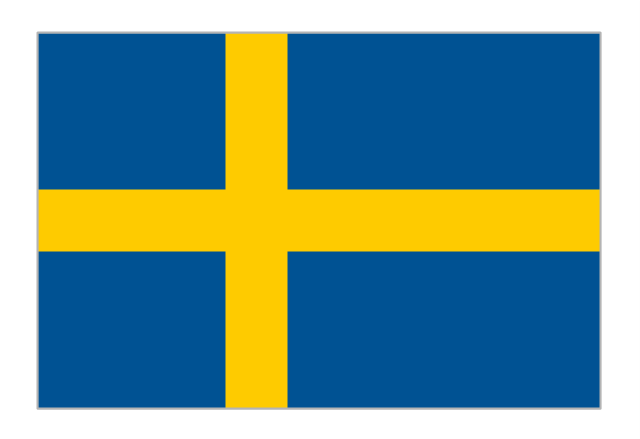
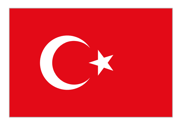
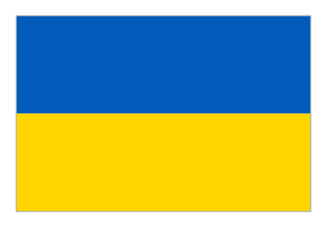
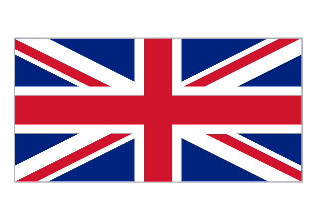
The vector stencils library Serbia contains contours for ConceptDraw DIAGRAM diagramming and vector drawing software. This library is contained in the Continent Maps solution from Maps area of ConceptDraw Solution Park.The vector stencils library "European country flags" contains 51 clipart images of Europe state flags.
Use the European country flags clip art to illustrate your business documents, presentation slides, web pages, geo maps and infographics.
The clip art example "European country flags - Vector stencils library" was created using the ConceptDraw PRO diagramming and vector drawing software extended with the Artwork solution from the Illustration area of ConceptDraw Solution Park.
7 Continents Map
A continent is a large area of land washed by the seas. There are 7 continents on the Earth: Asia, Africa, North America, South America, Antarctica, Europe, and Australia. If you want create the 7 Continents Map, we offer you incredibly useful tool for this - ConceptDraw DIAGRAM diagramming and vector drawing software extended with Continent Maps Solution from the Maps Area of ConceptDraw Solution Park.Geo Map - Asia - Mongolia
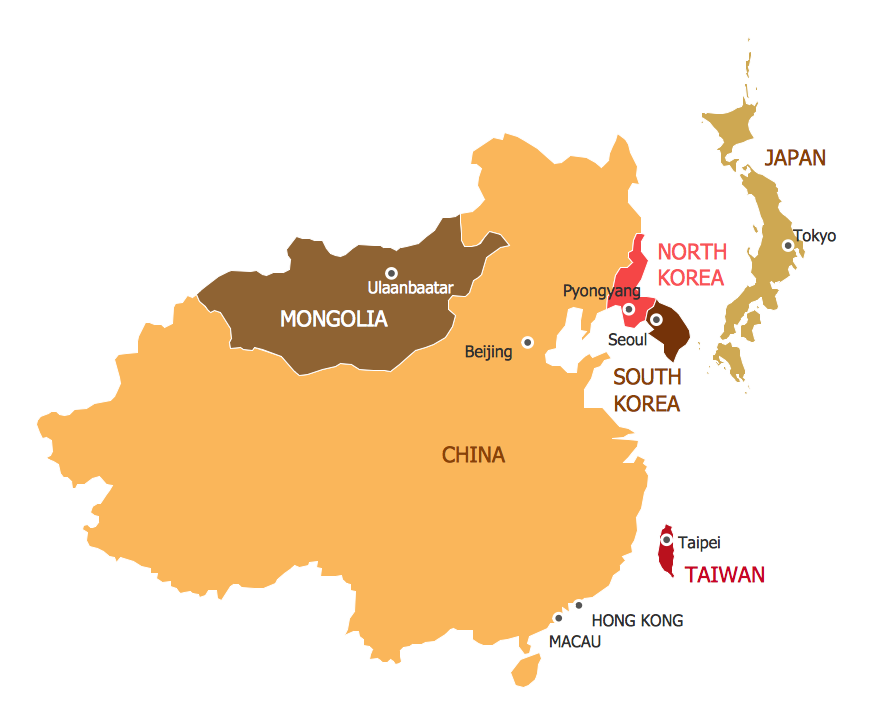
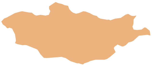
Mongolia is a landlocked country in Central Asia. The vector stencils library Mongolia contains contours for ConceptDraw DIAGRAM diagramming and vector drawing software. This library is contained in the Continent Maps solution from Maps area of ConceptDraw Solution Park.Continents Map
Designing of Continents Map is a quite complex and labour-intensive process. But now we have a way to make it easier - ConceptDraw DIAGRAM diagramming and vector drawing software extended with useful drawing tools of Continent Maps Solution from the Maps Area.World Continents Map
ConceptDraw DIAGRAM diagramming and vector drawing software enhanced with Continent Maps Solution from the Maps Area is the best for drawing geographic, topography, political, and many other kinds of maps for any of seven earth continents and also world continents map of any detailing.Geo Map - Africa - Morocco
Morocco, officially the Kingdom of Morocco, is a country in the Maghreb region of North Africa. The vector stencils library Morocco contains contours for ConceptDraw DIAGRAM diagramming and vector drawing software. This library is contained in the Continent Maps solution from Maps area of ConceptDraw Solution Park.- Southeast Asia - Political map | Asia flags - Stencils library | Design ...
- Oceania Country Map Flag S
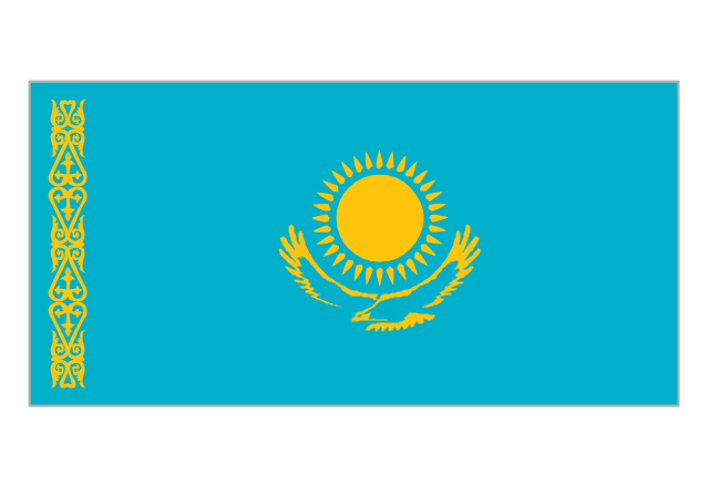
- Asian country flags - Vector stencils library | Geo Map - Asia - United ...
- Political map of Europe | European country flags - Vector stencils ...
- Design elements - North and Central America flags | Geo Map ...
- Geo Map - Europe - Austria | Design elements - Europe flags | Geo ...
- South America flags - Stencils library | Design elements - South ...
- Africa flags - Stencils library | Plain Nigeria Map Png
- Geo Map - South America - Ecuador | South America flags - Stencils ...
- Flags - Stencils library | Political map of Europe | Design elements ...


