Geo Map - Asia - Papua New Guinea
Papua New Guinea, officially named the Independent State of Papua New Guinea, is a country in Oceania that occupies the eastern half of the island of New Guinea (the western portion of the island is a part of the Indonesian provinces of Papua and West Papua) and numerous offshore islands.The vector stencils library Papua New Guinea contains contours for ConceptDraw PRO diagramming and vector drawing software. This library is contained in the Continent Maps solution from Maps area of ConceptDraw Solution Park.
How To Do A Mind Map In PowerPoint
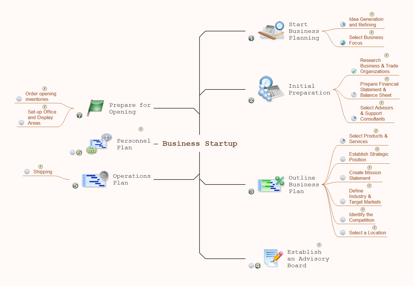
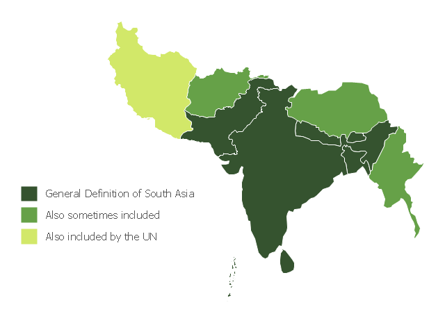
ConceptDraw MINDMAP - an excellent tool for exporting mind maps to PowerPoint to visualize and presenting your project. You can simply generate, change, update your mindmap and then make a presentation in PowerPoint."South Asia or Southern Asia is the southern region of the Asian continent, which comprises the sub-Himalayan countries and, for some authorities, adjoining countries to the west and east. Topographically, it is dominated by the Indian Plate, which rises above sea level as northern parts of India south of the Himalayas and the Hindu Kush. South Asia is bounded on the south by the Indian Ocean and on land (clockwise, from west) by West Asia, Central Asia, East Asia, and Southeast Asia.
The current territories of Bangladesh, India, Sri Lanka and Pakistan form the core countries of South Asia, while Nepal, Bhutan and Maldives are generally included, and Afghanistan and Myanmar often added. By various deviating definitions based on often substantially different reasons, the British Indian Ocean Territory, Mauritius, Iran and the Tibet Autonomous Region are included as well. With the 7 core countries considered, South Asia is home to well over one fifth of the world's population, making it both the most populous and the most densely populated geographical region in the world. The South Asian Association for Regional Cooperation is an economic cooperation organisation in the region which was established in 1985." [South Asia. Wikipedia]
This political map sample was redesigned from the Wikimedia Commons file: South Asia (ed)update.PNG.
[commons.wikimedia.org/ wiki/ File:South_ Asia_ %28ed%29update.PNG]
The example "South Asia - Political map" was created using the ConceptDraw PRO diagramming and vector drawing software extended with the Continent Maps solution from the Maps area of ConceptDraw Solution Park.
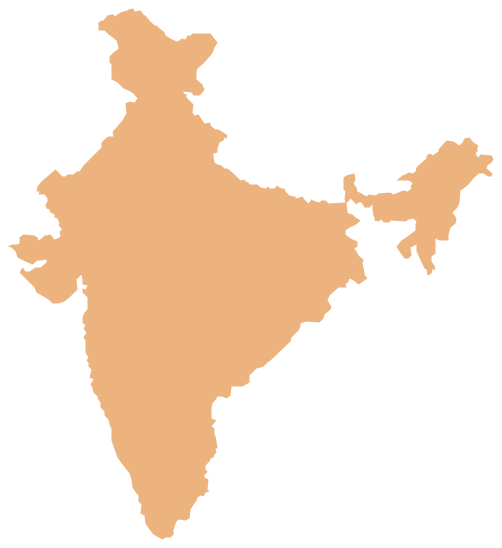
Geo Map - Asia - India
India, officially the Republic of India (Bharat Ganrajya), is a country in South Asia.The vector stencils library India contains contours for ConceptDraw PRO diagramming and vector drawing software. This library is contained in the Continent Maps solution from Maps area of ConceptDraw Solution Park.
Geo Map - Asia - Indonesia
Indonesia, officially the Republic of Indonesia, is a sovereign state in Southeast Asia and Oceania.The vector stencils library Indonesia contains contours for ConceptDraw PRO diagramming and vector drawing software. This library is contained in the Continent Maps solution from Maps area of ConceptDraw Solution Park.
The vector stencils library "Asia" contains 47 country contours for drawing thematic maps of Asia.
Use it in your spatial infographics for visual representation of geospatial information, statistics and quantitative data in the ConceptDraw PRO diagramming and vector drawing software extended with the Spatial Infographics solution from the area "What is Infographics" of ConceptDraw Solution Park.
Use it in your spatial infographics for visual representation of geospatial information, statistics and quantitative data in the ConceptDraw PRO diagramming and vector drawing software extended with the Spatial Infographics solution from the area "What is Infographics" of ConceptDraw Solution Park.
The vector stencils library "Asia" contains 57 Asian state map contours for drawing thematic and political maps of Asia. Use it for visual representation of geospatial information, statistics and quantitative data.
"Asia is the Earth's largest and most populous continent, located primarily in the eastern and northern hemispheres. ... Countries: 49 (and 5 disputed)." [Asia. Wikipedia]
The state map contours example "Asia - Vector stencils library" was created using the ConceptDraw PRO diagramming and vector drawing software extended with the Continent Maps solution from the Maps area of ConceptDraw Solution Park.
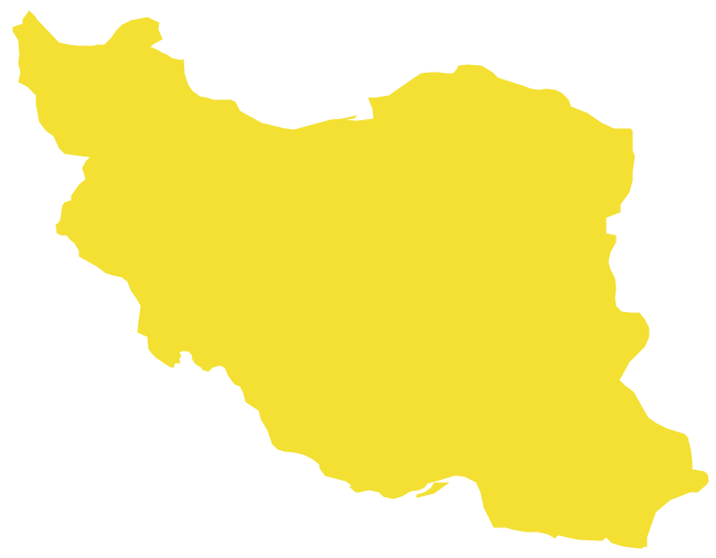
Geo Map - Asia - Iran
Iran, also known as Persia, officially the Islamic Republic of Iran since 1980, is a country in Western Asia.The vector stencils library Iran contains contours for ConceptDraw PRO diagramming and vector drawing software. This library is contained in the Continent Maps solution from Maps area of ConceptDraw Solution Park.
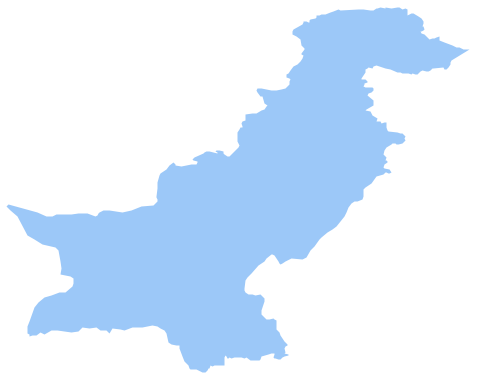
Geo Map - Asia - Pakistan
Pakistan, officially the Islamic Republic of Pakistan, is a sovereign country in South Asia.The vector stencils library Pakistan contains contours for ConceptDraw PRO diagramming and vector drawing software. This library is contained in the Continent Maps solution from Maps area of ConceptDraw Solution Park.
Geo Map - Asia - Japan
Japan is an island nation in East Asia. Located in the Pacific Ocean, it lies to the east of the Sea of Japan, China, North Korea, South Korea and Russia, stretching from the Sea of Okhotsk in the north to the East China Sea and Taiwan in the south.The vector stencils library Japan contains contours for ConceptDraw PRO diagramming and vector drawing software. This library is contained in the Continent Maps solution from Maps area of ConceptDraw Solution Park.
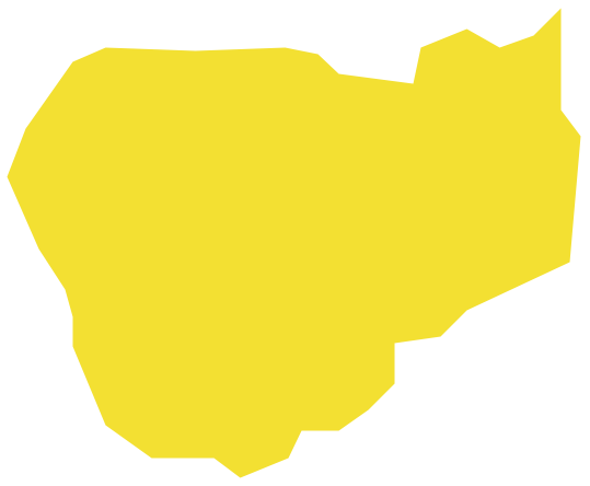
Geo Map - Asia - Cambodia
Cambodia, officially known as the Kingdom of Cambodia and once known as the Khmer Empire, is a country located in the southern portion of the Indochina Peninsula in Southeast Asia.The vector stencils library Cambodia contains contours for ConceptDraw PRO diagramming and vector drawing software. This library is contained in the Continent Maps solution from Maps area of ConceptDraw Solution Park.
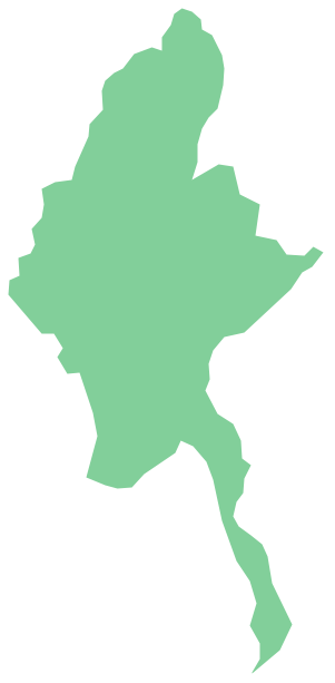
Geo Map - Asia - Myanmar
Burma, officially the Republic of the Union of Myanmar, commonly shortened to Myanmar, is a sovereign state in Southeast Asia bordered by Bangladesh, India, China, Laos and Thailand.The vector stencils library Myanmar contains contours for ConceptDraw PRO diagramming and vector drawing software. This library is contained in the Continent Maps solution from Maps area of ConceptDraw Solution Park.
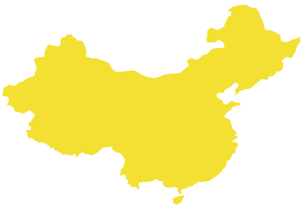
Geo Map - Asia - China
China, officially the People's Republic of China, is a sovereign state located in East Asia.The vector stencils library China contains contours for ConceptDraw PRO diagramming and vector drawing software. This library is contained in the Continent Maps solution from Maps area of ConceptDraw Solution Park.
Geo Map - Asia - Sri Lanka
Sri Lanka, officially the Democratic Socialist Republic of Sri Lanka, is an island country in the northern Indian Ocean off the southern coast of the Indian subcontinent in South Asia; known until 1972 as Ceylon, Sri Lanka has maritime borders with India to the northwest and the Maldives to the southwest.The vector stencils library Sri Lanka contains contours for ConceptDraw PRO diagramming and vector drawing software. This library is contained in the Continent Maps solution from Maps area of ConceptDraw Solution Park.
Geo Map - Asia - Bangladesh
Bangladesh, officially the People's Republic of Bangladesh, is a country in South Asia.The vector stencils library Bangladesh contains contours for ConceptDraw PRO diagramming and vector drawing software. This library is contained in the Continent Maps solution from Maps area of ConceptDraw Solution Park.
- India Png Map
- How To Do A Mind Map In PowerPoint | India Map Outline Png
- Geo Map - Asia - Papua New Guinea | South Asia - Political map ...
- Geo Map - Asia - Papua New Guinea | Southwest Asia - Political ...
- India Map Png
- Indian Map Png
- Map Korea Png
- Asean Countries Map Png
- India Map Vector Png
- Geo Map - Asia - India
- South Asia - Political map
- Asia Map Png
- Geo Map - Asia - India | Asia - Vector stencils library | Management ...
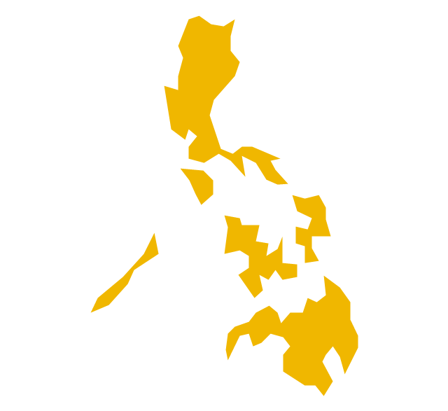
- Yellow Philippine Map Png
- Madagascar Png Map
- Philippine Map Png
- Indonesia Map Vector Png
- Indonesia Map Png
- Myanmar Map Png
- Geo Map - Asia - Qatar



-asia---vector-stencils-library.png--diagram-flowchart-example.png)









-asia---vector-stencils-library.png--diagram-flowchart-example.png)


-asia---vector-stencils-library.png--diagram-flowchart-example.png)


