Geo Map - Canada - Ontario

Geo Map - Canada - British Columbia

Geo Map - Canada - Yukon

Geo Map - Canada - Saskatchewan

Geo Map - Canada - Quebec

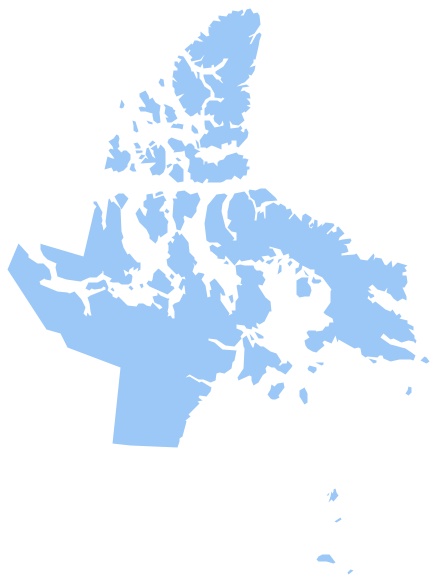
Geo Map - Canada - Nunavut
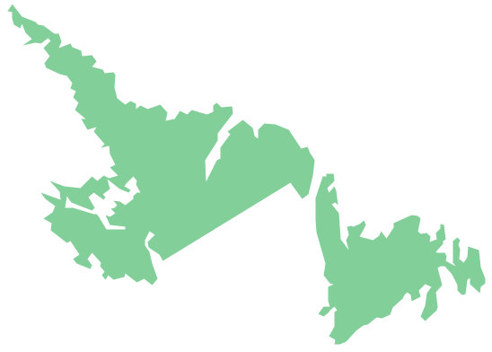
Geo Map - Canada - Newfoundland and Labrador
Geo Map - Canada

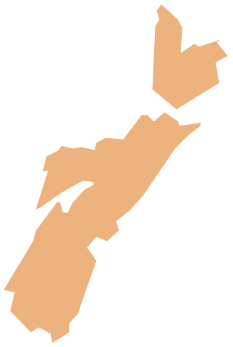
Geo Map - Canada - Prince Edward Island

Geo Map - Canada - Nova Scotia
- Broadcast Area for Movie Central - Thematic map | Geo Map ...
- Middle East - Political map | Central Asia - Political map | Continent ...
- Broadcast Area for Movie Central - Thematic map
- Geo Map - Canada
- Geo Map - Canada - Nunavut
- How To Draw Map Of Canada
- Canada regions - Political map | Geo Map - Canada - Nova Scotia ...
- Geo Map - Canada - Prince Edward Island | Geo Map - Canada ...
- Map Of Canada Provinces For Visio
- Canada - Vector stencils library | Management map Canada - Vector ...