 Continent Maps
Continent Maps solution extends ConceptDraw PRO software with templates, samples and libraries of vector stencils for drawing the thematic maps of continents, state maps of USA and Australia.
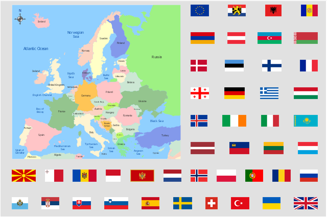
"Alphabetical list of subregions in the United Nations geoscheme for Europe.
Eastern Europe: Belarus, Bulgaria, Czech Republic, Hungary, Moldova, Poland, Romania, Russia, Slovakia, Ukraine.
Northern Europe: Åland Islands, Denmark, Estonia, Faroe Islands, Finland, Guernsey, Iceland, Ireland, Isle of Man, Jersey, Latvia, Lithuania, Norway, Svalbard and Jan Mayen, Sweden, United Kingdom.
Southern Europe: Albania, Andorra, Bosnia and Herzegovina, Croatia, Gibraltar, Greece, Italy, Malta, Montenegro, Portugal, Macedonia, San Marino, Serbia, Slovenia, Spain, Vatican City.
Western Europe: Austria, Belgium, France, Germany, Liechtenstein, Luxembourg, Monaco, Netherlands, Switzerland." [United Nations geoscheme for Europe. Wikipedia]
The example "Political map of Europe" illustrated with European state flags was created using the ConceptDraw PRO diagramming and vector drawing software extended with the Continent Maps solution from the Maps area of ConceptDraw Solution Park.
Geo Map - Europe - Bosnia and Herzegovina
The vector stencils library Bosnia and Herzegovina contains contours for ConceptDraw PRO diagramming and vector drawing software. This library is contained in the Continent Maps solution from Maps area of ConceptDraw Solution Park.Geo Map - Europe - Serbia
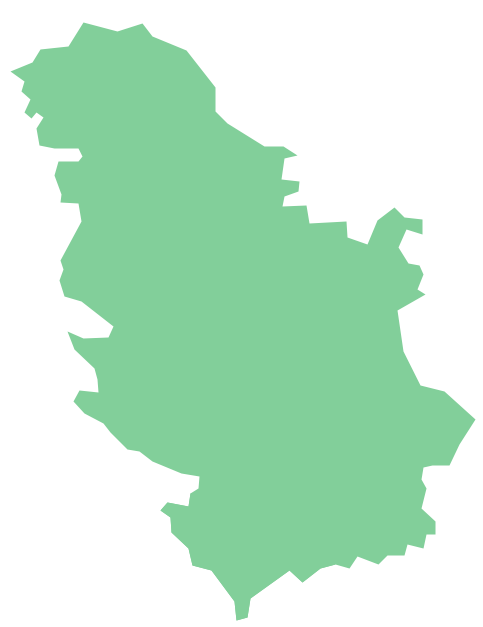
The vector stencils library Serbia contains contours for ConceptDraw PRO diagramming and vector drawing software. This library is contained in the Continent Maps solution from Maps area of ConceptDraw Solution Park.Geo Map - Europe - Slovenia
The vector stencils library Slovenia contains contours for ConceptDraw PRO diagramming and vector drawing software. This library is contained in the Continent Maps solution from Maps area of ConceptDraw Solution Park.Geo Map - Europe - Italy
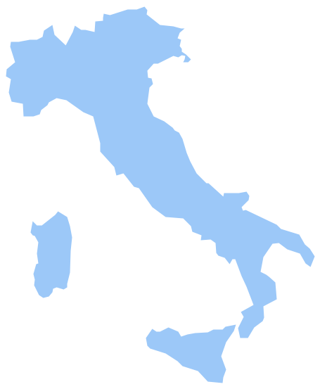
The vector stencils library Italy contains contours for ConceptDraw PRO diagramming and vector drawing software. This library is contained in the Continent Maps solution from Maps area of ConceptDraw Solution Park.Geo Map - Europe - Greece
Greece is strategically located at the crossroads of Europe, Asia, and Africa.The vector stencils library Greece contains contours for ConceptDraw PRO diagramming and vector drawing software. This library is contained in the Continent Maps solution from Maps area of ConceptDraw Solution Park.
Map of England
England is a country that is part of the United Kingdom. It shares land borders with Scotland to the north and Wales to the west.Design of various maps, including the Map of England is usually complex and labor-intensive process. But now we have a possibility to create UK maps fast and easy thanks to the ConceptDraw PRO diagramming and vector drawing software enhanced with Map of UK Solution from the Maps Area of ConceptDraw Solution Park.
 Astronomy
Astronomy solution extends ConceptDraw PRO software with illustration and sketching software with templates, samples and libraries of a variety of astronomy symbols, including constellations, galaxies, stars, and planet vector shapes; a whole host of cele
- Geo Map - Europe - Germany
- Continent Maps | Geo Map - Europe - Germany | Design elements ...
- Vector Map of Germany | Infographic design elements, software ...
- Political map of Europe | Geo Map - Europe - Germany | Political ...
- Continent Maps | Design elements - Thematic maps | Geo Map ...
- Continent Maps | Geo Map - Europe - Germany | Geo Map - Europe ...
- Political map of Europe | European membership of the EU and ...
- Geo Map - Europe
- Spain Germany And France In Map Of Europe
- Europe - Thematic map template | European membership of the EU ...
- Geo Map - Europe - Latvia
- Geo Map - Europe - Belgium | Europe - Vector stencils library | Geo ...
- Europe - Vector stencils library | Geo Map - Europe - Russia ...
- Political map of Europe | Tools to Create Your Own Infographics ...
- Europe flags - Stencils library | Political map of Europe | Map ...
- Design elements - Europe | Spatial infographics Design Elements ...
- Geo Map - Europe - Albania
- Geo Map - Europe - Serbia
- Political map of Europe | Map Software | Continent Maps | Map Of ...
- Geo Map - Europe


