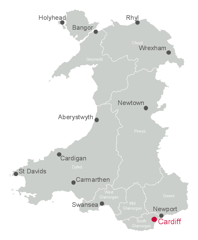
This map example shows Wales cities and towns, and 8 preserved counties: Gwent, South Glamorgan, Mid Glamorgan, West Glamorgan, Dyfed, Powys, Gwynedd, Clwyd.
"Wales is a country that is part of the United Kingdom and the island of Great Britain, bordered by England to its east, the Irish Sea to its north and west, and the Bristol Channel to its south. ...
Wales has six cities. In addition to Cardiff, Newport and Swansea, the communities of Bangor, St Asaph and St Davids also have city status in the United Kingdom." [Wales. Wikipedia]
"The preserved counties of Wales are the current areas used in Wales for the ceremonial purposes of lieutenancy and shrievalty. ...
The Local Government (Wales) Act 1994 abolished the eight ceremonial counties created by the Local Government Act 1972. However, it created the concept of preserved counties based on their areas, to be used for purposes such as Lieutenancy. This usage was consolidated by the Lieutenancies Act 1997." [Preserved counties of Wales. Wikipedia]
The example "Map of cities and towns in Wales" was drawn using ConceptDraw PRO software extended with the Map of UK solution from the Maps area of ConceptDraw Solution Park.
Wales preserved counties map
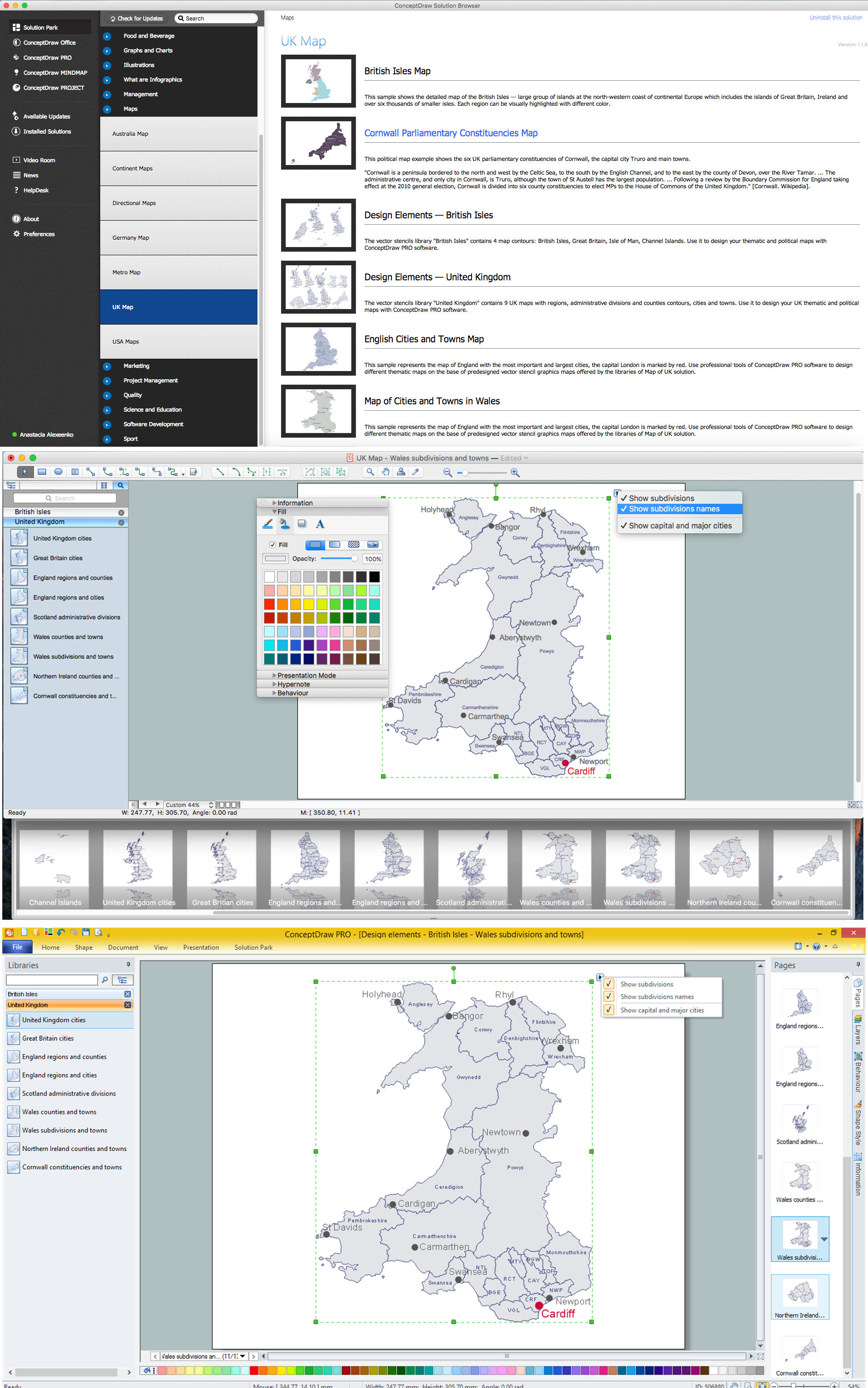
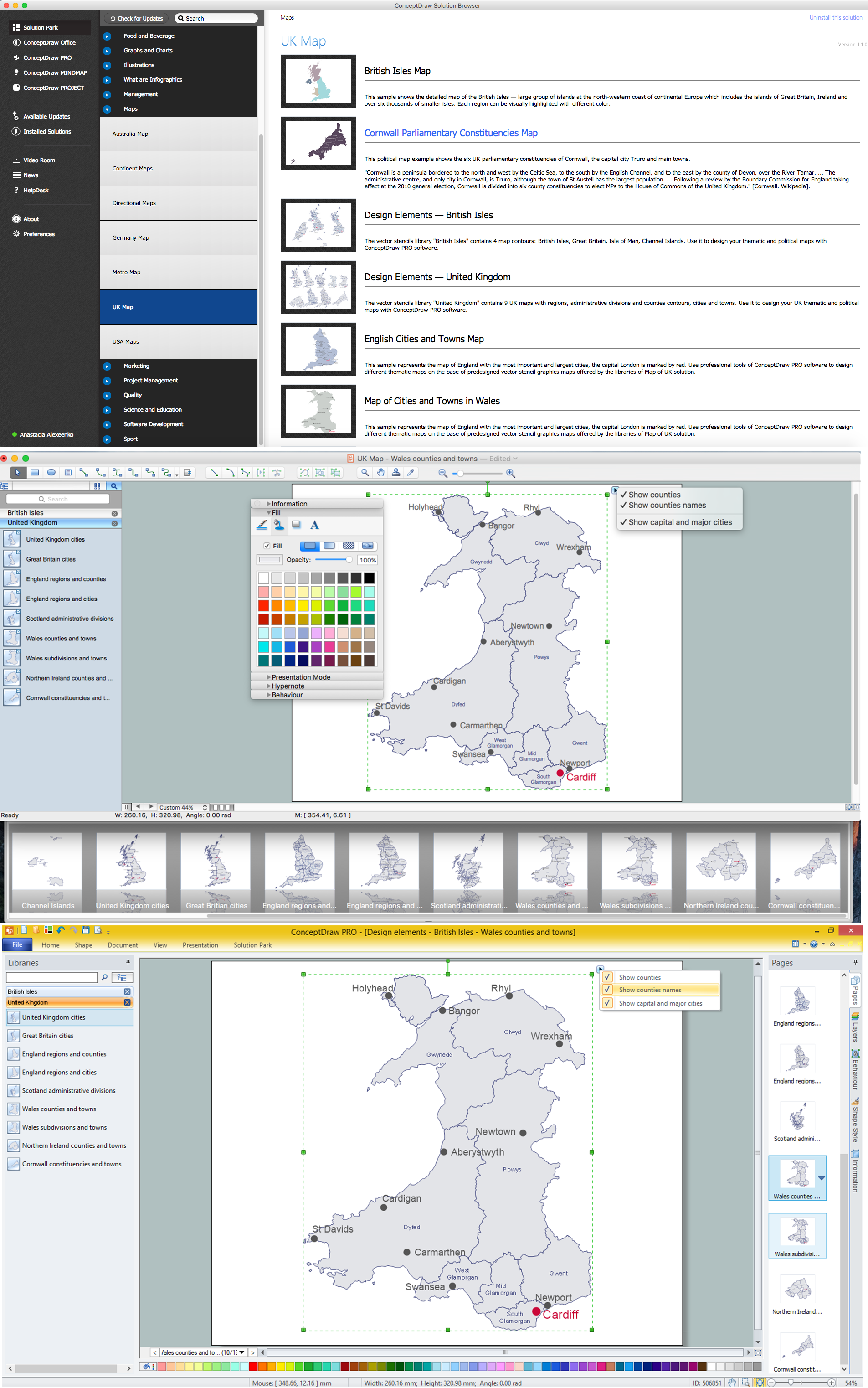
 UK Map
The Map of UK solution contains collection of professionally designed samples and scalable vector stencil graphics maps, representing the United Kingdom counties, regions and cities. Use the Map of UK solution from ConceptDraw Solution Park as the base fo
Map of UK — Wales Subdivisions and Towns
Map of UK — Wales Counties and Towns
Map of England

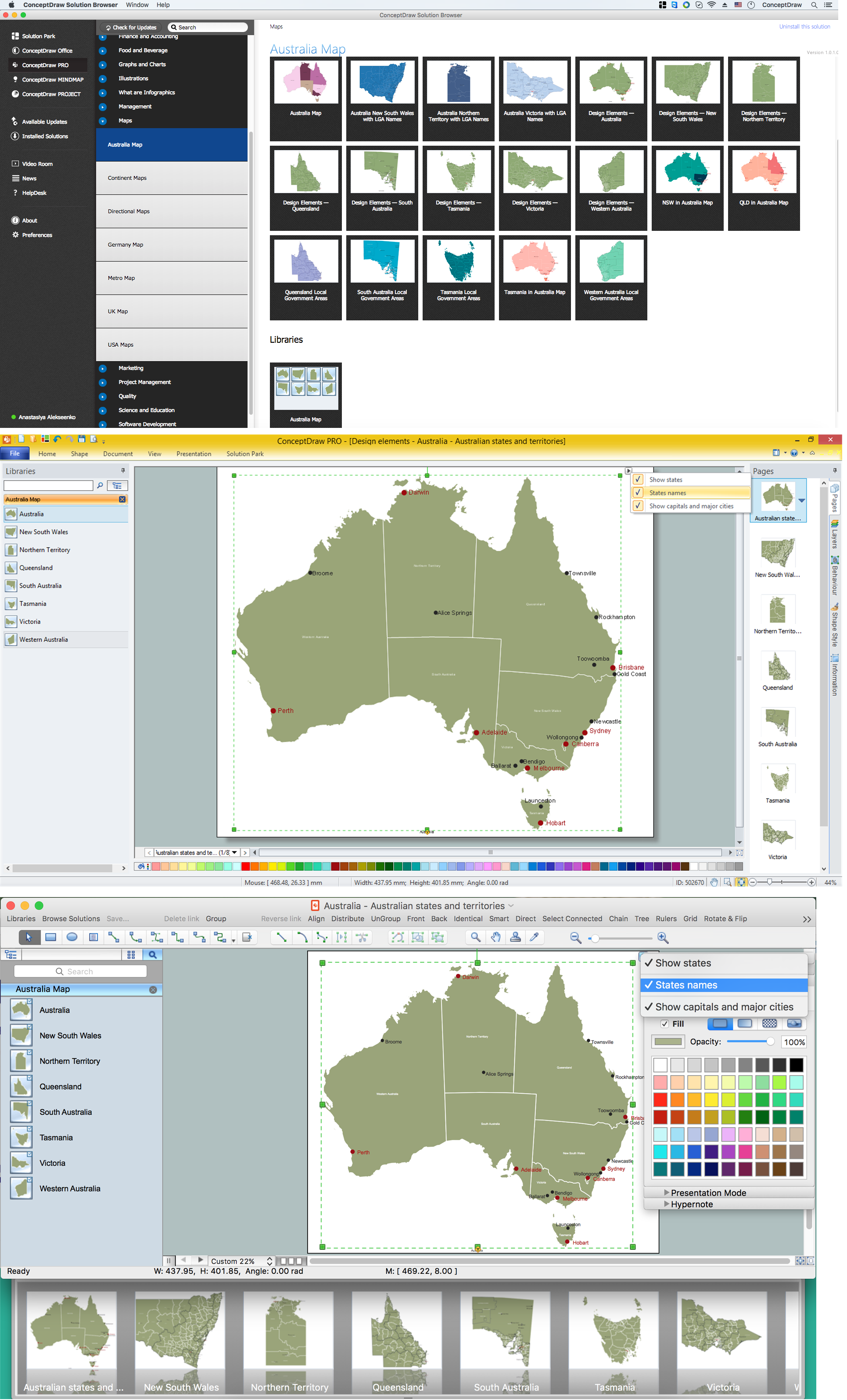
Australia Map — New South Wales
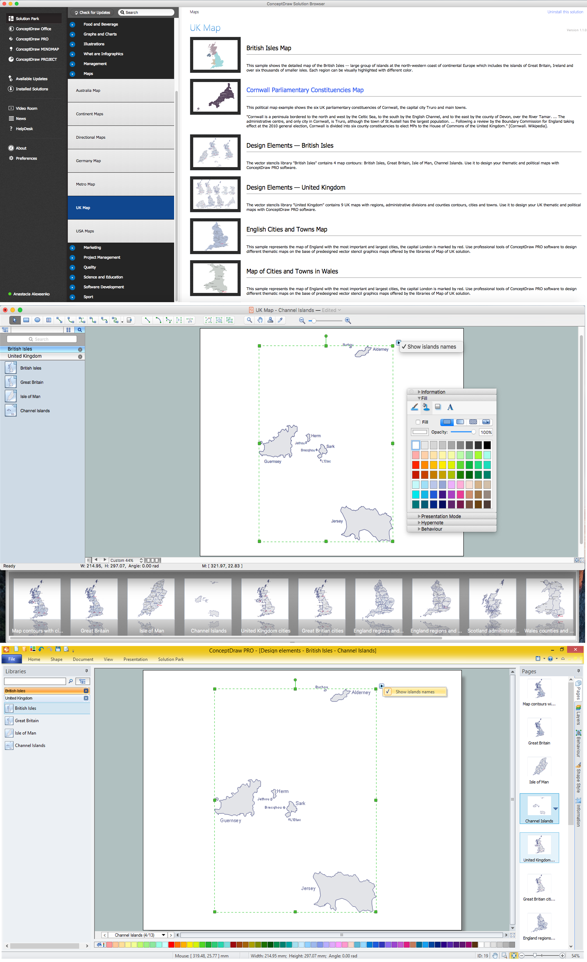
Map of UK — Channel Islands
UK Map

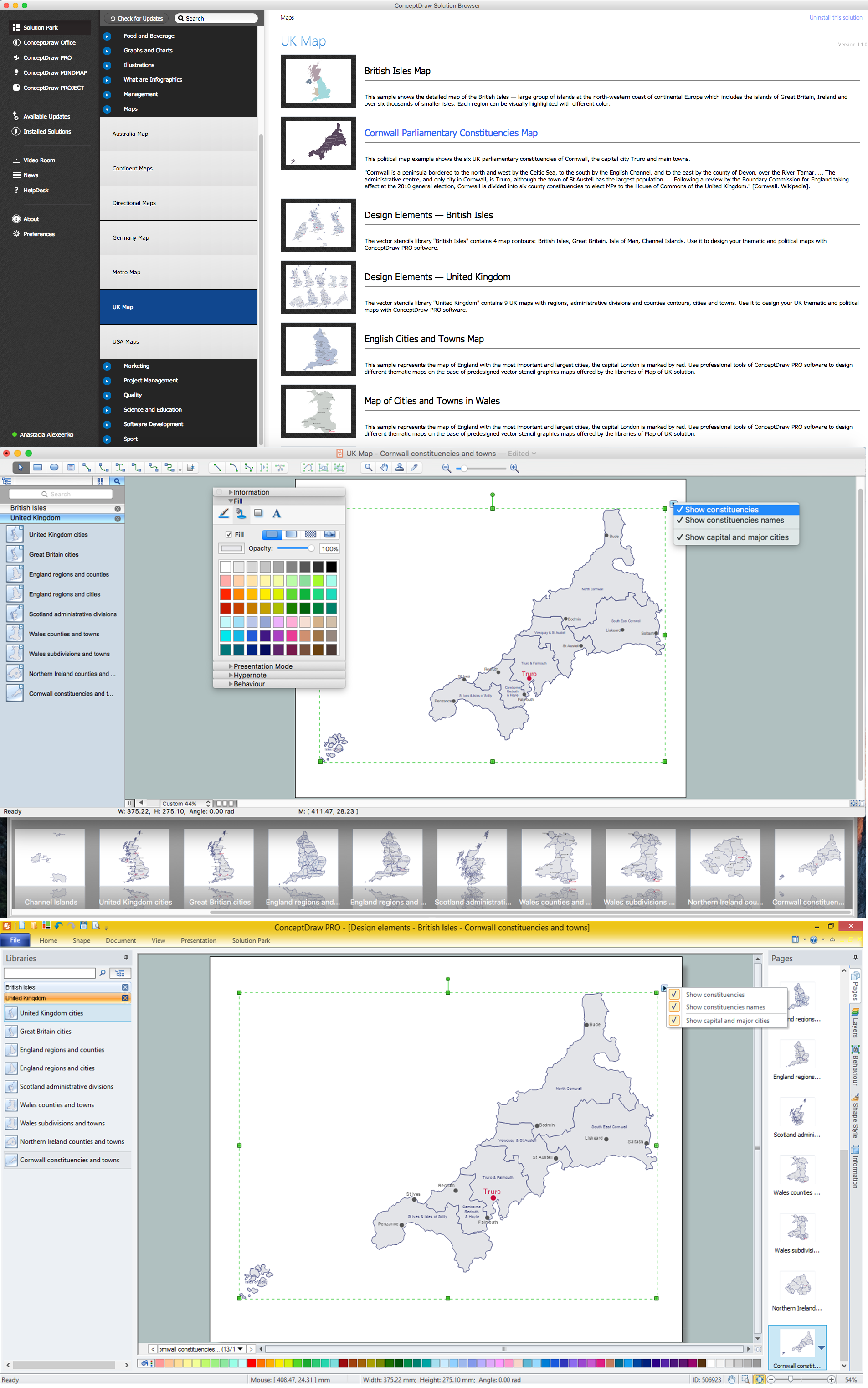
Map of UK — Cornwall
Australia Map — States and Cities
- Map of cities and towns in Wales | Australia Map — Tasmania ...
- Map of cities and towns in Wales
- Map of cities and towns in Wales | Map of UK — Wales Subdivisions ...
- UK Map | Map of England | English cities and towns map | Map Of ...
- Map of UK — Great Britain Cities | Map of UK — Wales Subdivisions ...
- Uk Cities And Towns Map
- Map of UK — Great Britain Cities | UK Map | United Kingdom Cities ...
- Map Of Northern Ireland Counties And Towns
- Map of UK — Northern Ireland | Northern Ireland cities and towns ...
- Northern Ireland cities and towns map | Northern Ireland counties ...