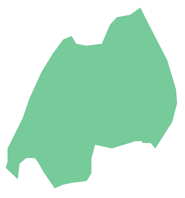
Geo Map - Africa - Rwanda
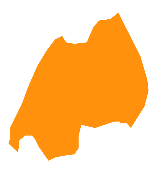
Rwanda, officially the Republic of Rwanda, is a sovereign state in central and east Africa. The vector stencils library Rwanda contains contours for ConceptDraw DIAGRAM diagramming and vector drawing software. This library is contained in the Continent Maps solution from Maps area of ConceptDraw Solution Park.Geo Map - Africa - Mozambique
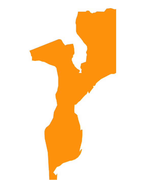
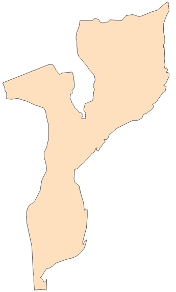
Mozambique, officially the Republic of Mozambique, is a country in Southeast Africa bordered by the Indian Ocean to the east, Tanzania to the north, Malawi and Zambia to the northwest, Zimbabwe to the west, and Swaziland and South Africa to the southwest. The vector stencils library Mozambique contains contours for ConceptDraw DIAGRAM diagramming and vector drawing software. This library is contained in the Continent Maps solution from Maps area of ConceptDraw Solution Park.Geo Map - Africa - Egypt
Egypt, is a transcontinental country spanning the northeast corner of Africa and southwest corner of Asia, via a land bridge formed by the Sinai Peninsula. The vector stencils library Egypt contains contours for ConceptDraw DIAGRAM diagramming and vector drawing software. This library is contained in the Continent Maps solution from Maps area of ConceptDraw Solution Park.Geo Map - Africa - Liberia
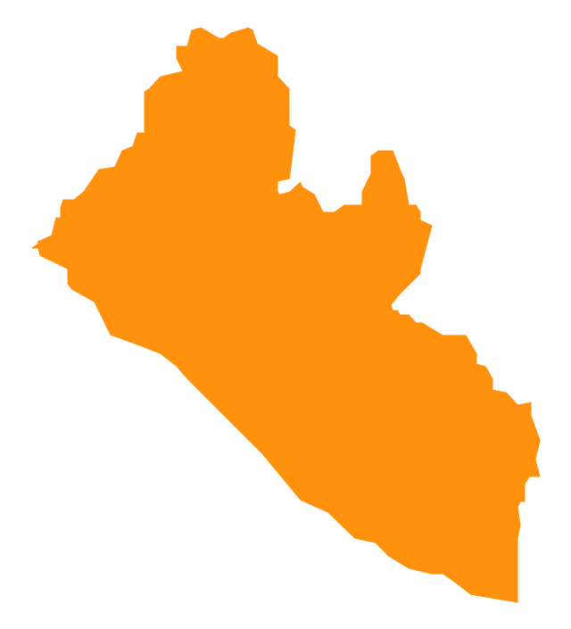
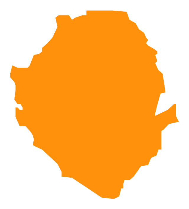
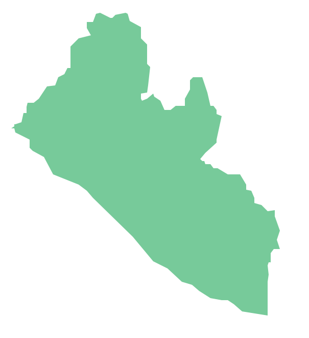
Liberia, officially the Republic of Liberia, is a country in West Africa bordered by Sierra Leone to its west, Guinea to its north and Ivory Coast to its east. The vector stencils library Liberia contains contours for ConceptDraw DIAGRAM diagramming and vector drawing software. This library is contained in the Continent Maps solution from Maps area of ConceptDraw Solution Park.Geo Map - Africa - Swaziland
Swaziland, officially the Kingdom of Swaziland, and sometimes called kaNgwane or Eswatini, is a landlocked country in Southern Africa, bordered to the north, south, southeast and west by South Africa, and to the northeast by Mozambique. The vector stencils library Swaziland contains contours for ConceptDraw DIAGRAM diagramming and vector drawing software. This library is contained in the Continent Maps solution from Maps area of ConceptDraw Solution Park.Geo Map - Africa - Kenya
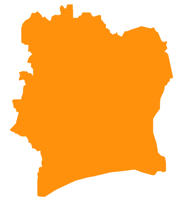
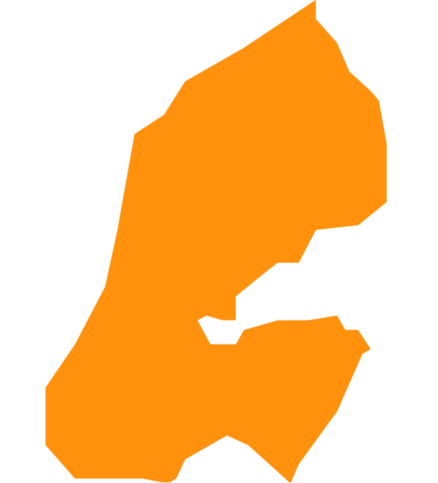
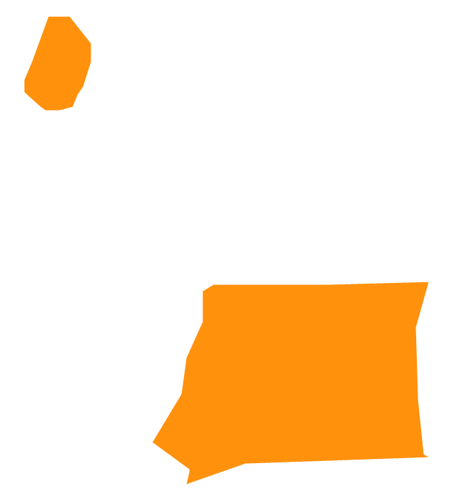
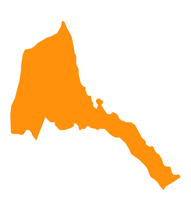
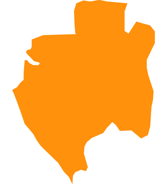
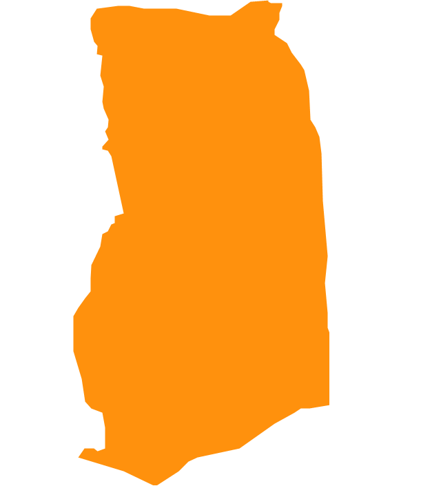
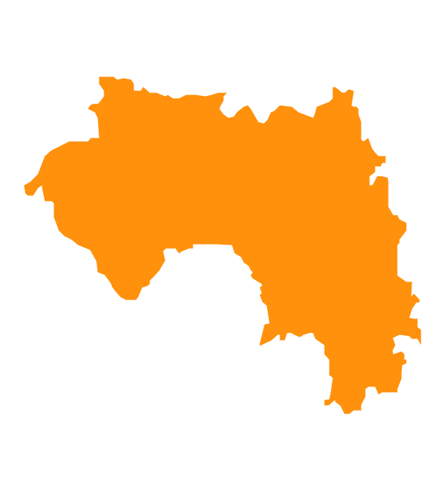
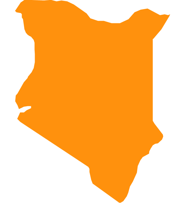
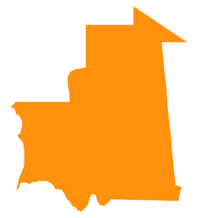
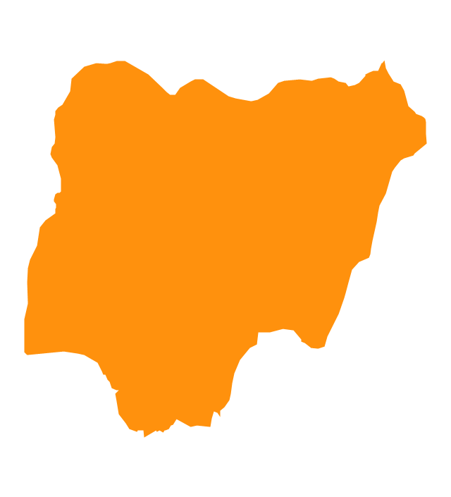
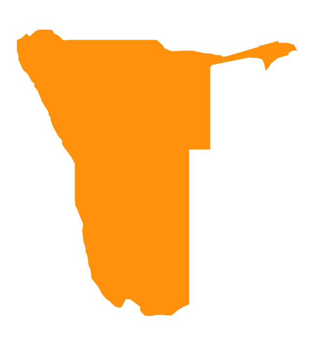
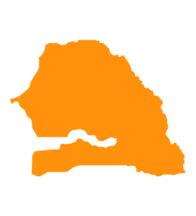
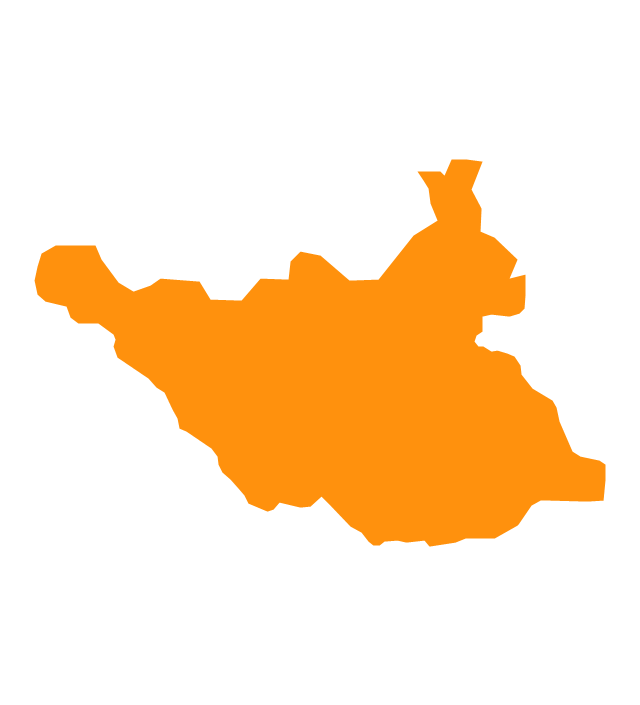
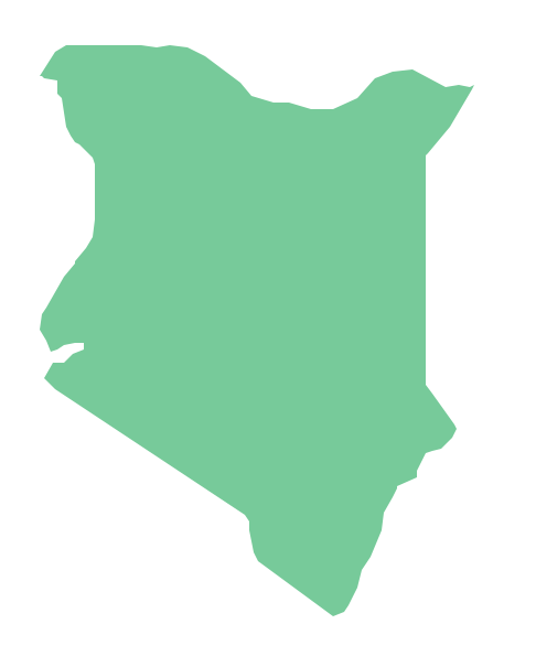
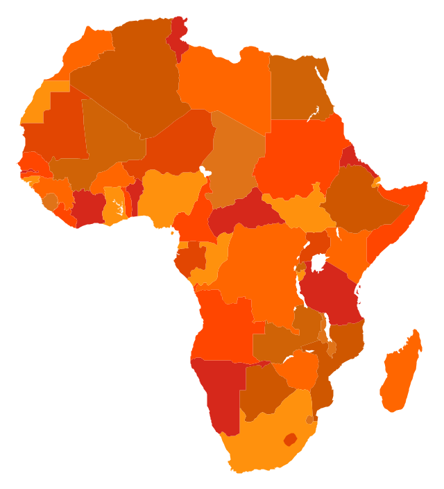
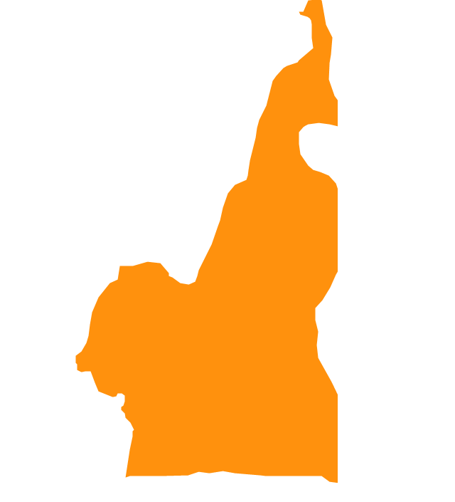
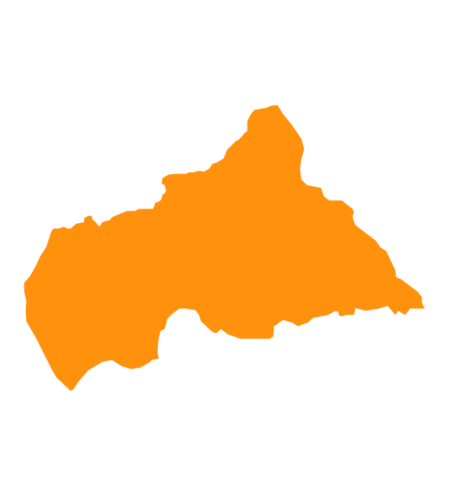
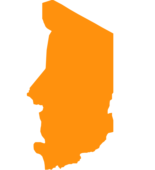
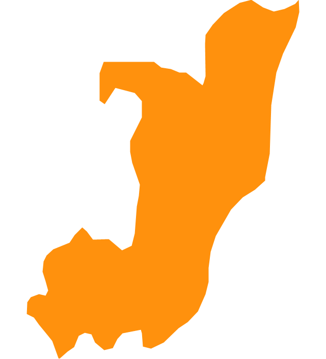
Kenya, officially the Republic of Kenya, is a sovereign state in the African Great Lakes region of East Africa. The vector stencils library Kenya contains contours for ConceptDraw DIAGRAM diagramming and vector drawing software. This library is contained in the Continent Maps solution from Maps area of ConceptDraw Solution Park.The vector stencils library "Africa" contains 51 country contours for drawing thematic maps of Africa.
Use it in your spatial infographics for visual representation of geospatial information, statistics and quantitative data in the ConceptDraw PRO diagramming and vector drawing software extended with the Spatial Infographics solution from the area "What is Infographics" of ConceptDraw Solution Park.
Use it in your spatial infographics for visual representation of geospatial information, statistics and quantitative data in the ConceptDraw PRO diagramming and vector drawing software extended with the Spatial Infographics solution from the area "What is Infographics" of ConceptDraw Solution Park.
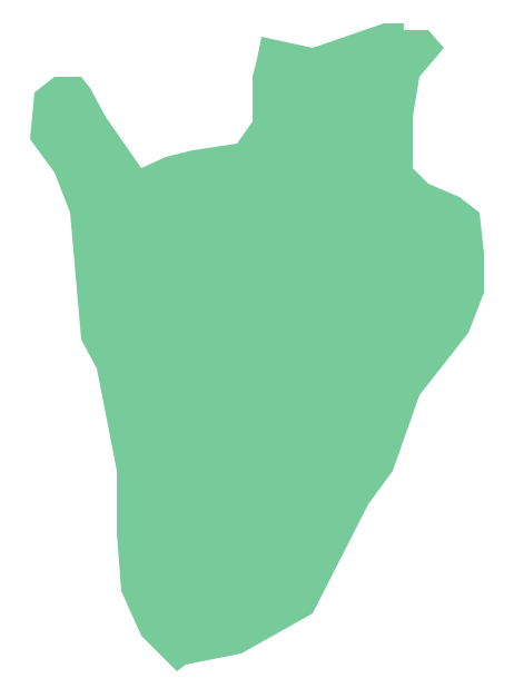
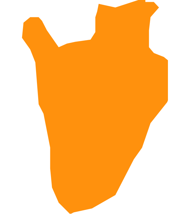
Geo Map - Africa - Burundi
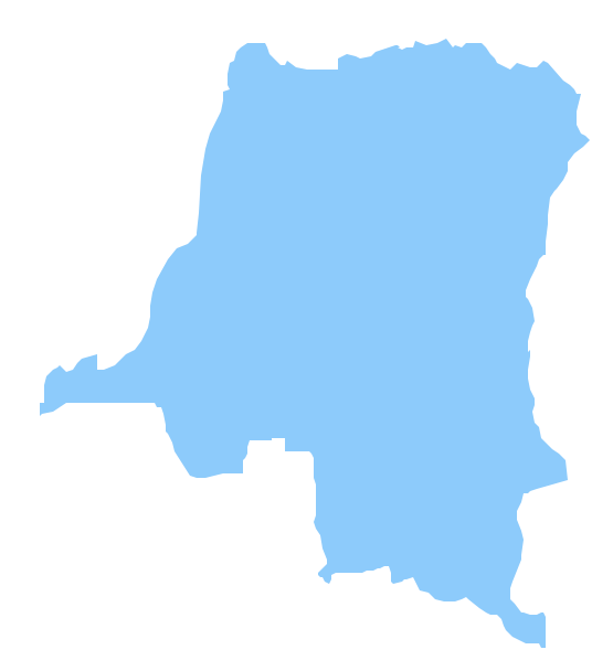
Burundi, officially the Republic of Burundi, is a landlocked country in the African Great Lakes region of Southeast Africa, bordered by Rwanda to the north, Tanzania to the east and south and the Democratic Republic of the Congo to the west. The vector stencils library Burundi contains contours for ConceptDraw DIAGRAM diagramming and vector drawing software. This library is contained in the Continent Maps solution from Maps area of ConceptDraw Solution Park.Geo Map - Africa - Congo DRC
The Democratic Republic of the Congo, sometimes referred to as DR Congo, Congo-Kinshasa, DROC, or RDC, is a country located in the African Great Lakes region of Central Africa. The vector stencils library Congo DRC contains contours for ConceptDraw DIAGRAM diagramming and vector drawing software. This library is contained in the Continent Maps solution from Maps area of ConceptDraw Solution Park.Geo Map — Africa — Tanzania
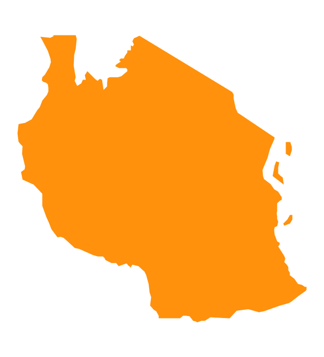
Tanzania, officially the United Republic of Tanzania (Swahili: Jamhuri ya Muungano wa Tanzania), is a country in East Africa in the African Great Lakes region. The vector stencils library Tanzania contains contours for ConceptDraw DIAGRAM diagramming and vector drawing software. This library is contained in the Continent Maps solution from Maps area of ConceptDraw Solution Park.- Geo Map - Africa - Rwanda | Geo Map - Africa - South Africa | Geo ...
- Drawing Of A Map Of East Africa
- Geo Map — Africa — Tanzania
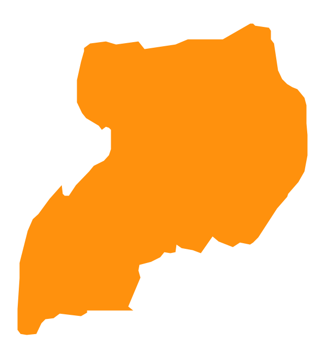
- Geo Map - Africa - Uganda
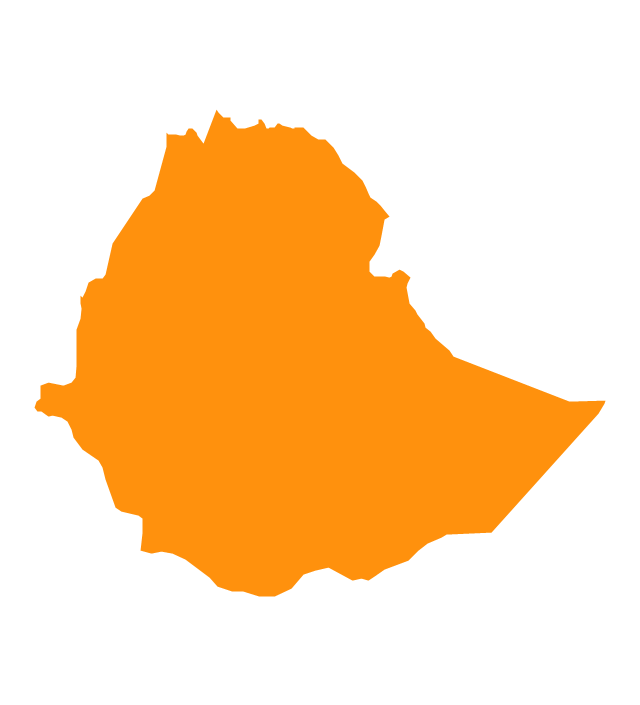
- Geo Map - Africa - Ethiopia | African country flags - Vector stencils ...
- Geo Map - Africa - Tanzania | Geo Map - Africa - Uganda | Geo Map ...
- Diagram Of A Map In East Africa
- Political Map Of East Africa Diaram
- Draw The Map Of East And Central Africa
- East Africa - Political map | West Africa countries | Geo Map - Africa ...





-africa---vector-stencils-library.png--diagram-flowchart-example.png)
