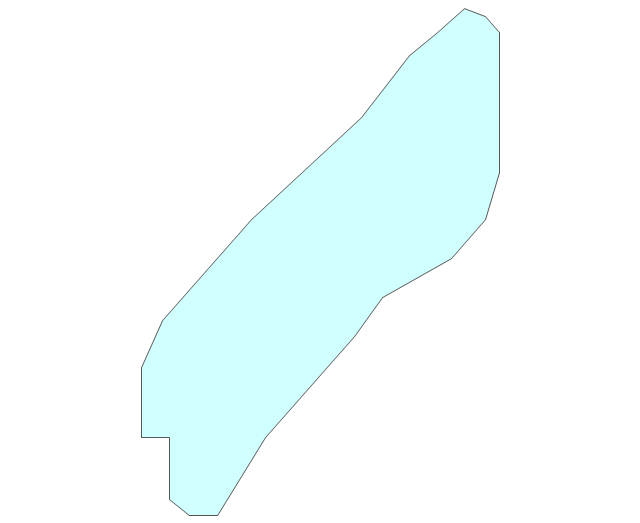
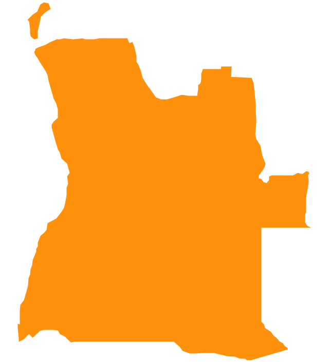
Geo Map - Africa - Angola
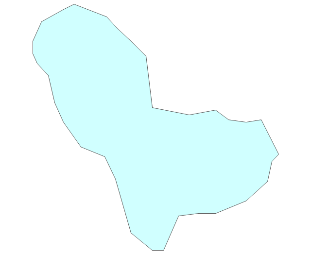
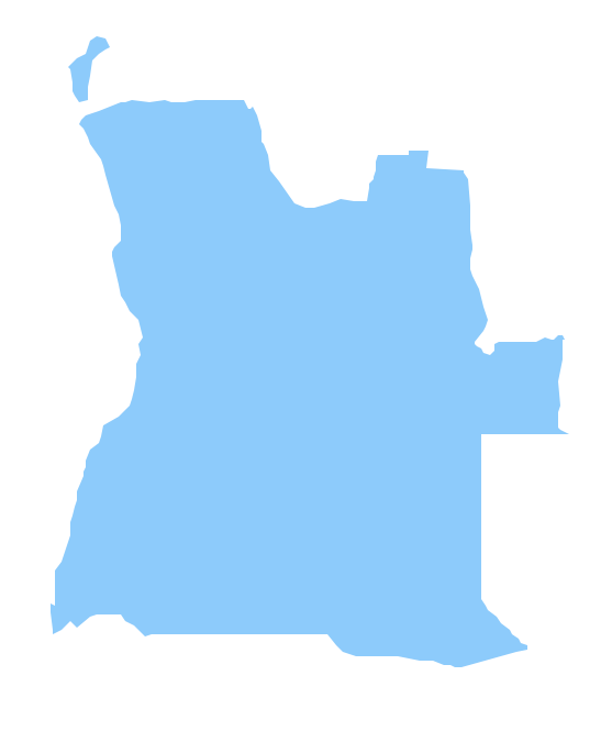
Angola, officially the Republic of Angola, is a country in Southern Africa bordered by Namibia on the south, the Democratic Republic of the Congo on the north, and Zambia on the east; its west coast is on the Atlantic Ocean and Luanda is its capital city. The vector stencils library Angola contains contours for ConceptDraw PRO diagramming and vector drawing software. This library is contained in the Continent Maps solution from Maps area of ConceptDraw Solution Park.Geo Map - Africa - Lesotho
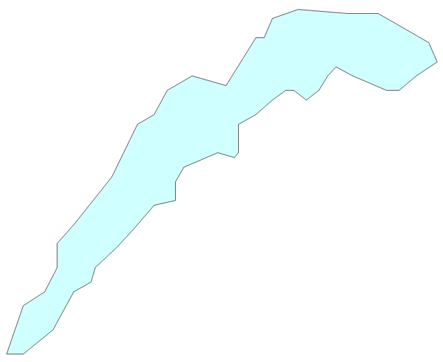
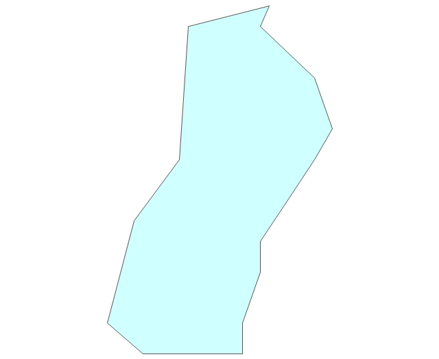
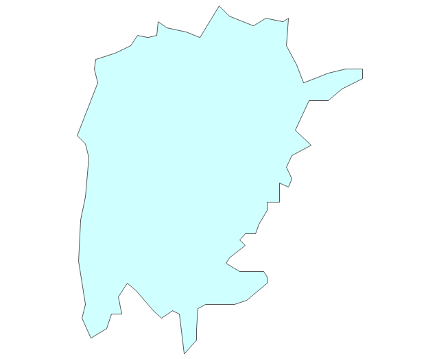
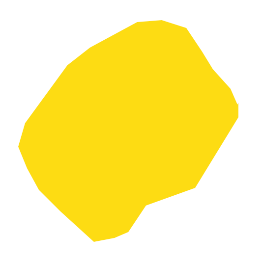
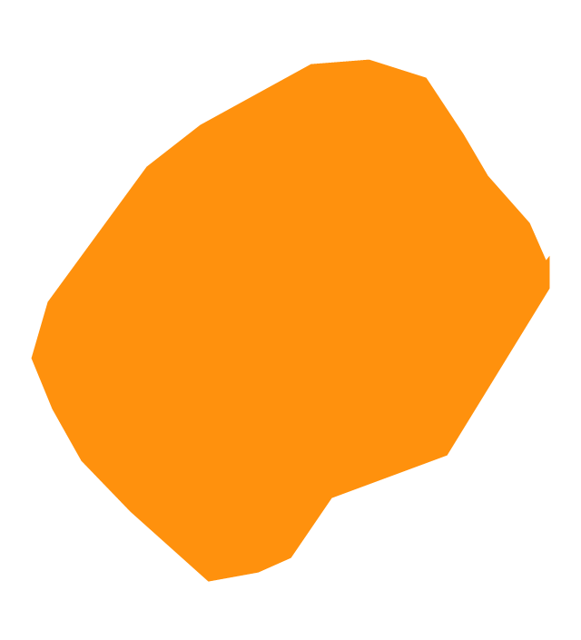
Lesotho, officially the Kingdom of Lesotho, is a landlocked country completely surrounded by South Africa. The vector stencils library Lesotho contains contours for ConceptDraw PRO diagramming and vector drawing software. This library is contained in the Continent Maps solution from Maps area of ConceptDraw Solution Park.Geo Map - Africa - Burundi
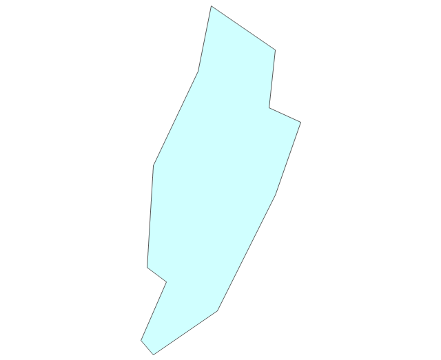
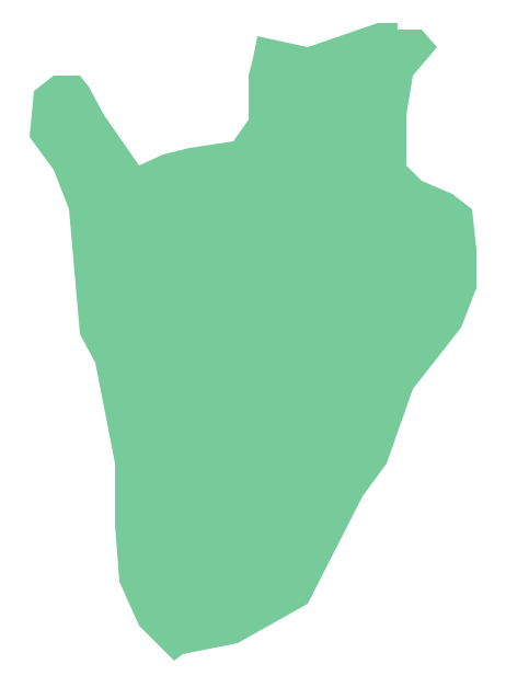
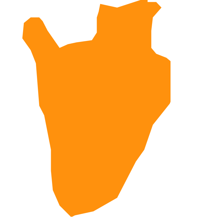
Burundi, officially the Republic of Burundi, is a landlocked country in the African Great Lakes region of Southeast Africa, bordered by Rwanda to the north, Tanzania to the east and south and the Democratic Republic of the Congo to the west. The vector stencils library Burundi contains contours for ConceptDraw PRO diagramming and vector drawing software. This library is contained in the Continent Maps solution from Maps area of ConceptDraw Solution Park.Geo Map - Africa - Zambia
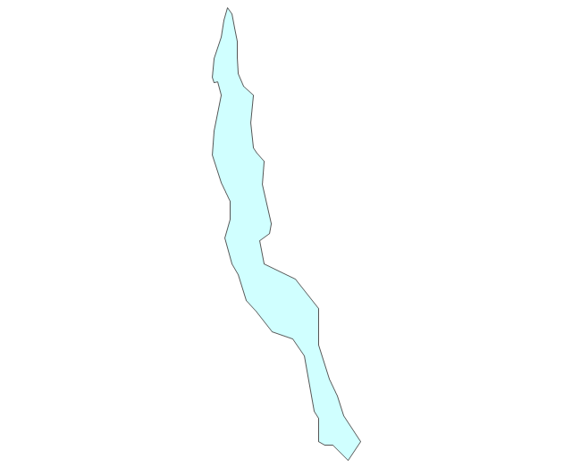
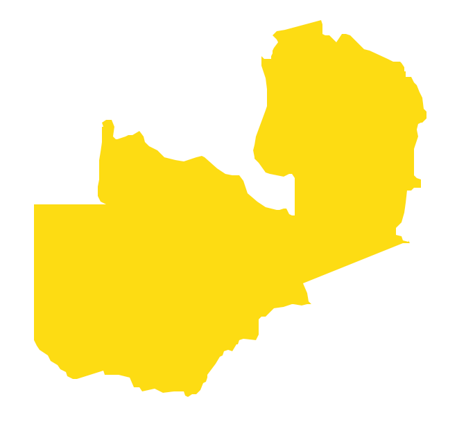
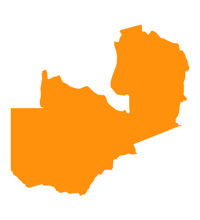
Zambia, officially the Republic of Zambia, is a landlocked country in Southern Africa. The vector stencils library Zambia contains contours for ConceptDraw PRO diagramming and vector drawing software. This library is contained in the Continent Maps solution from Maps area of ConceptDraw Solution Park.Geo Map - Africa - Malawi
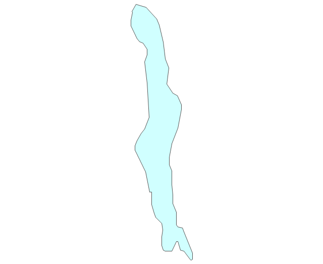
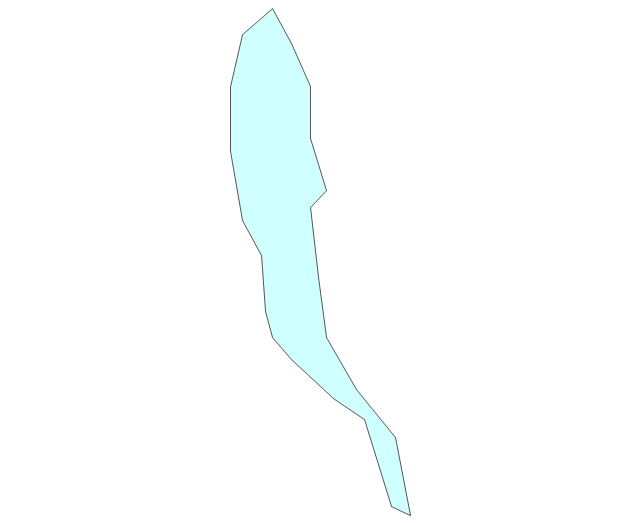
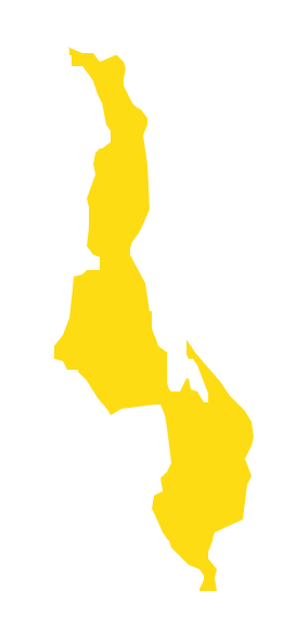
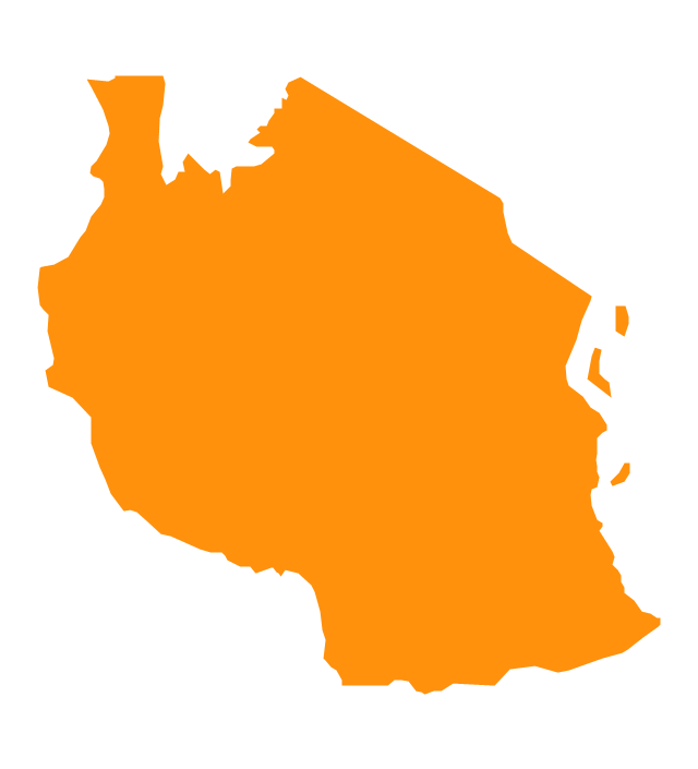
Malawi, officially the Republic of Malawi, is a landlocked country in southeast Africa that was formerly known as Nyasaland. The vector stencils library Malawi contains contours for ConceptDraw PRO diagramming and vector drawing software. This library is contained in the Continent Maps solution from Maps area of ConceptDraw Solution Park.Geo Map — Africa — Tanzania
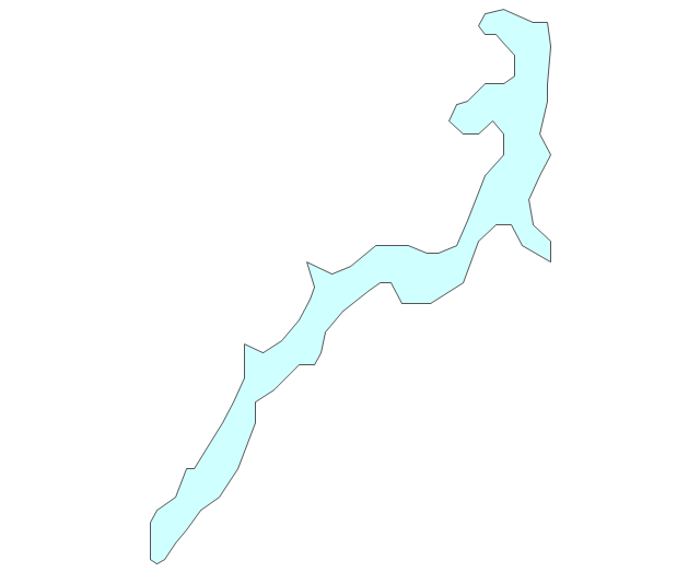
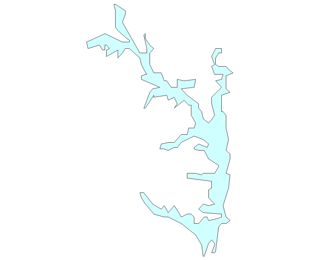
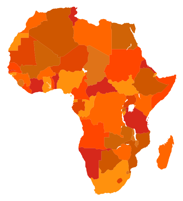
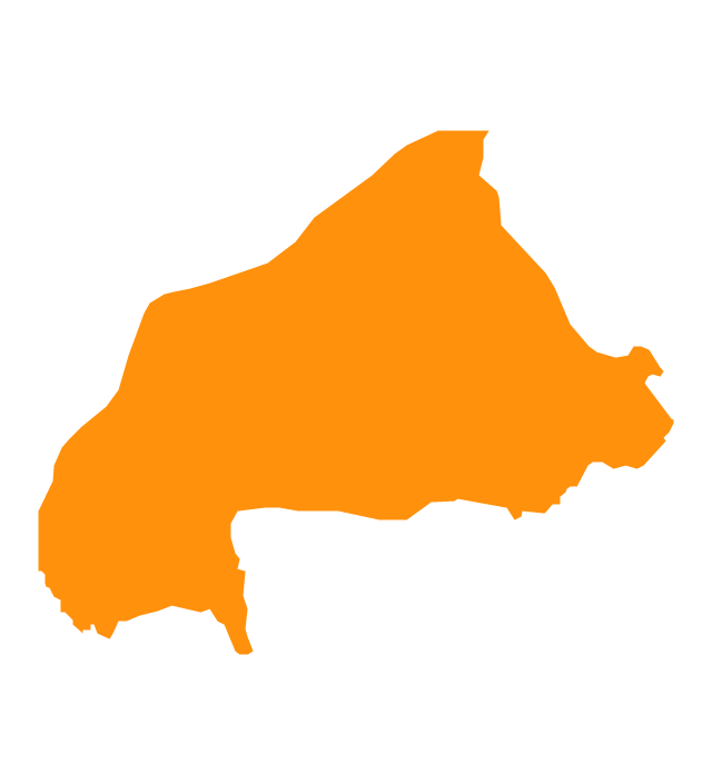
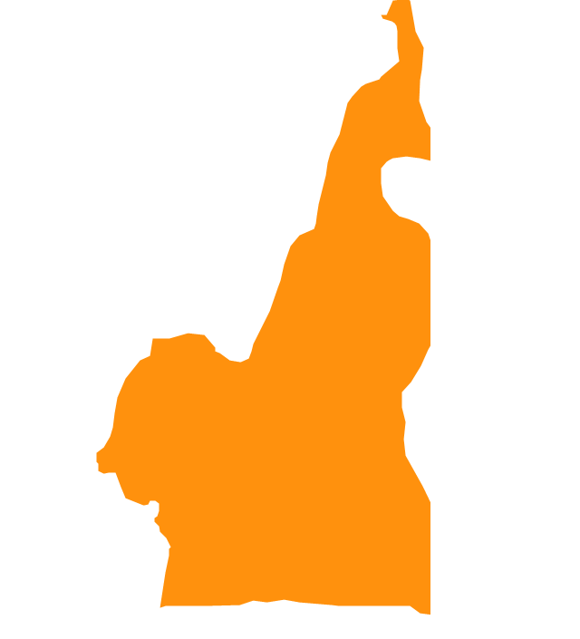
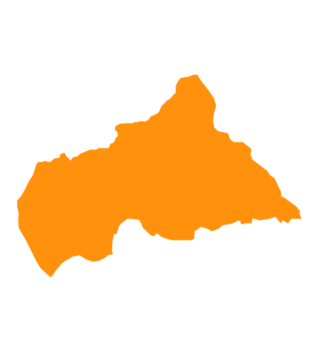
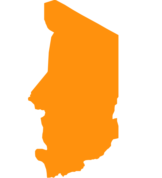
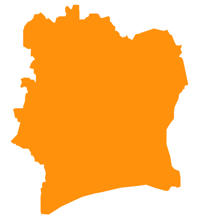
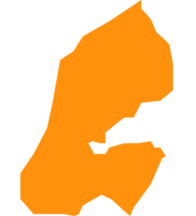
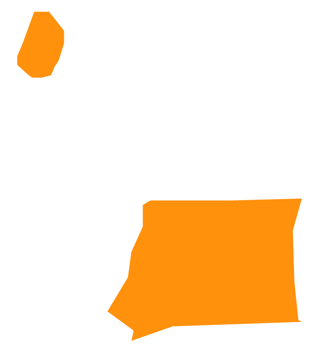
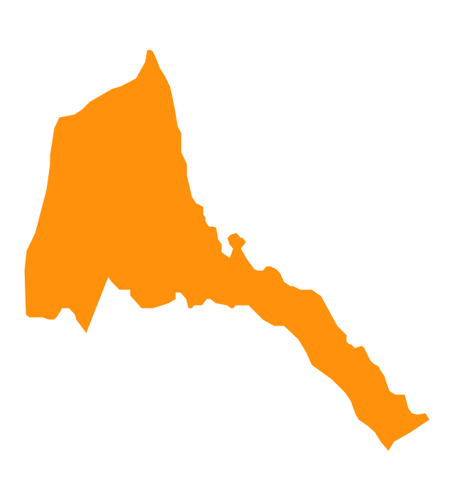
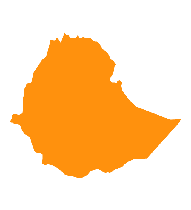
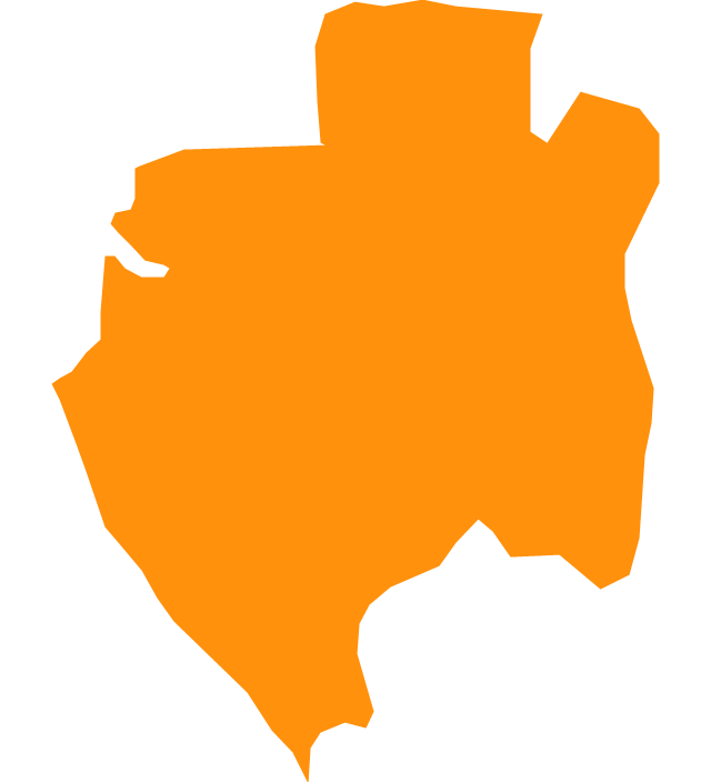
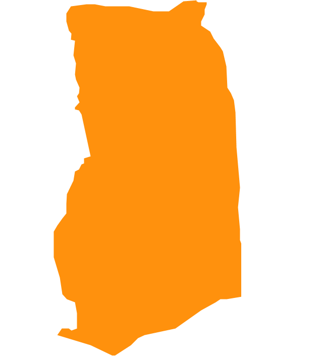
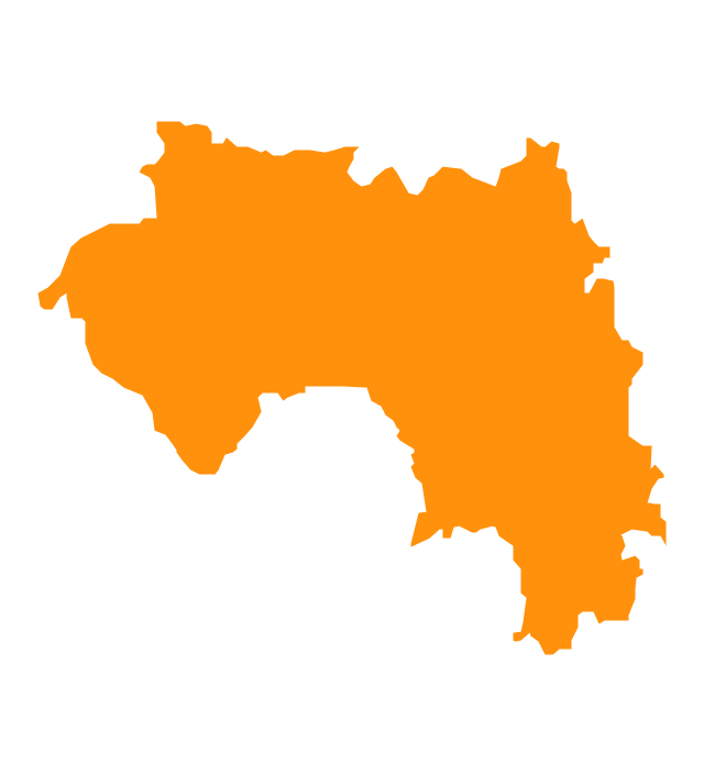
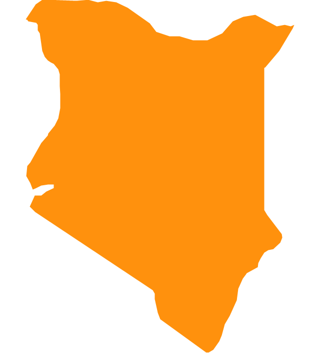
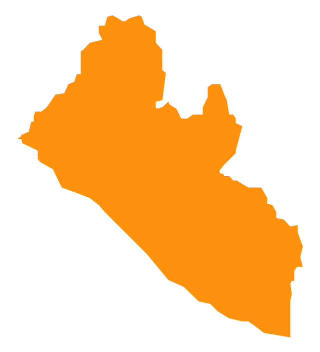
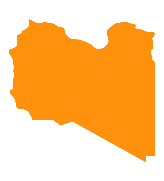
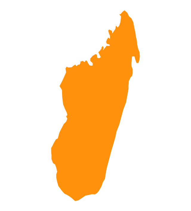
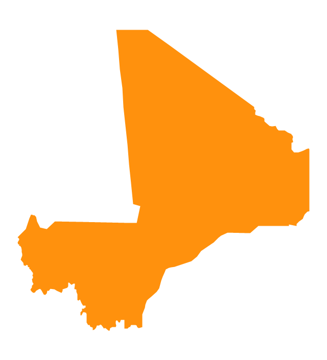
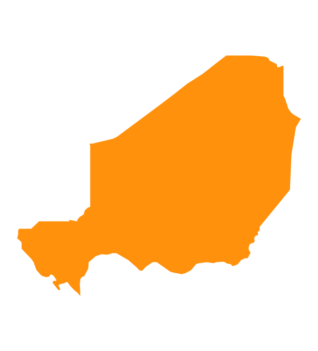
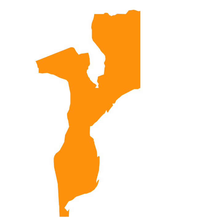
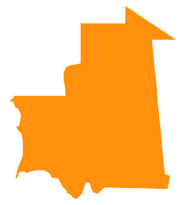
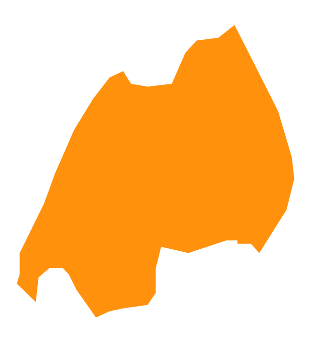
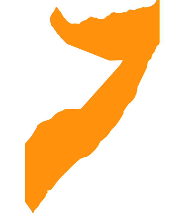
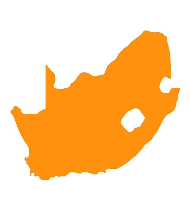
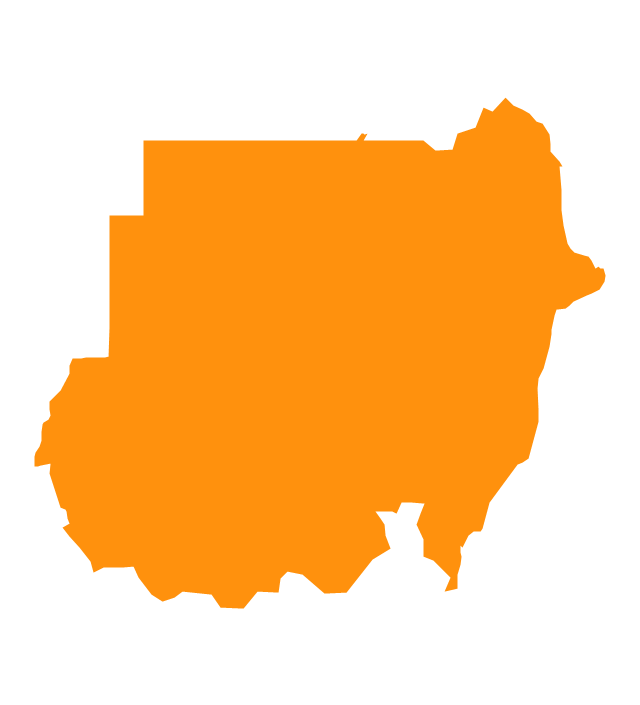
Tanzania, officially the United Republic of Tanzania (Swahili: Jamhuri ya Muungano wa Tanzania), is a country in East Africa in the African Great Lakes region. The vector stencils library Tanzania contains contours for ConceptDraw PRO diagramming and vector drawing software. This library is contained in the Continent Maps solution from Maps area of ConceptDraw Solution Park.The vector stencils library "Africa" contains 51 country contours for drawing thematic maps of Africa.
Use it in your spatial infographics for visual representation of geospatial information, statistics and quantitative data in the ConceptDraw PRO diagramming and vector drawing software extended with the Spatial Infographics solution from the area "What is Infographics" of ConceptDraw Solution Park.
Use it in your spatial infographics for visual representation of geospatial information, statistics and quantitative data in the ConceptDraw PRO diagramming and vector drawing software extended with the Spatial Infographics solution from the area "What is Infographics" of ConceptDraw Solution Park.
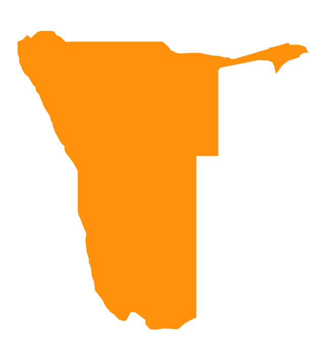
Geo Map - Africa - Namibia
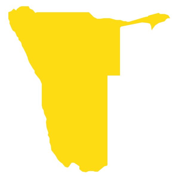
Namibia, officially the Republic of Namibia, is a country in southern Africa whose western border is the Atlantic Ocean. The vector stencils library Namibia contains contours for ConceptDraw PRO diagramming and vector drawing software. This library is contained in the Continent Maps solution from Maps area of ConceptDraw Solution Park.Geo Map - Africa - Congo
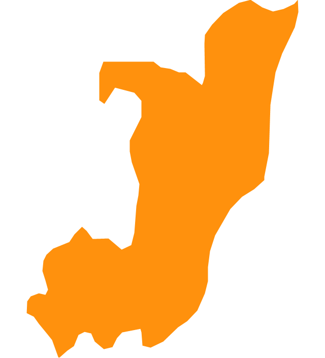
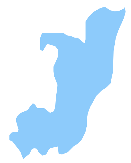
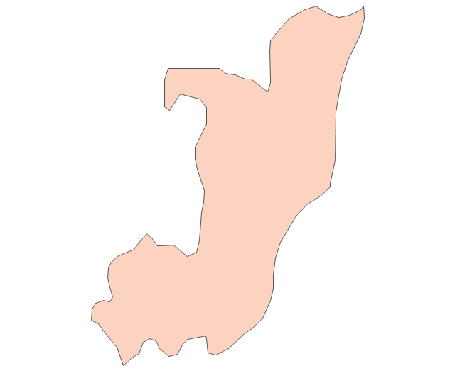
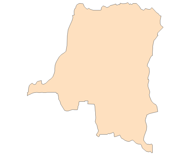
The Republic of the Congo, sometimes referred to as Congo Republic or Congo-Brazzaville, is a country located in Central Africa. The vector stencils library Congo contains contours for ConceptDraw PRO diagramming and vector drawing software. This library is contained in the Continent Maps solution from Maps area of ConceptDraw Solution Park.The vector stencils library "Africa" contains 62 country map contours for drawing thematic maps of Africa. Use it for visual representation of geospatial information, statistics and quantitative data.
"Africa is the world's second-largest and second-most-populous continent. ...
The continent includes Madagascar and various archipelagoes. It has 54 fully recognized sovereign states ("countries"), nine territories and two de facto independent states with limited or no recognition." [Africa. Wikipedia]
The map contours example "Africa - Vector stencils library" was created using the ConceptDraw PRO diagramming and vector drawing software extended with the Continent Maps solution from the Maps area of ConceptDraw Solution Park.
- Mapa De Angola Png
- Mapa Angola Vector Png
- Geo Map - Africa - Angola | Africa - Vector stencils library | Geo Map ...
- South America flags - Stencils library | Geo Map - South America ...
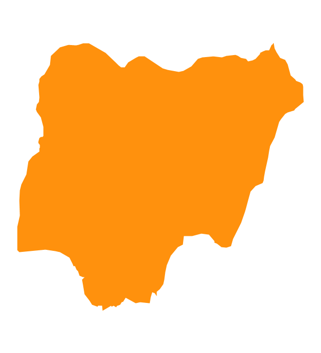
- West Africa countries | Geo Map - Africa - Nigeria | Africa - Vector ...
- Black Namibian Map Png
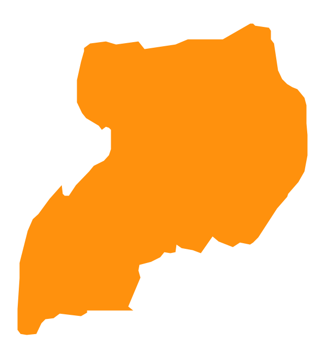
- Geo Map - Africa - Uganda | Geo Map - South America Continent ...
- Map Contours Library Africa
- Australia Map — New South Wales | Australia and New Zealand ...
- Africa Map Vector


-africa---vector-stencils-library.png--diagram-flowchart-example.png)









-africa---vector-stencils-library.png--diagram-flowchart-example.png)


