"The Middle East (also called Mid East in US usage) is a region that roughly encompasses a majority of Western Asia (excluding the Caucasus) and Egypt. The term is used as a synonym for Near East, in opposition to Far East. The corresponding adjective is Middle Eastern and the derived noun is Middle Easterner. Arabs, Persians, and Turks constitute the largest ethnic groups in the region by population, while Kurds, Azeris, Copts, Jews, Assyrians, Maronites, Circassians, Somalis, Armenians, Druze and other denominations form a significant minority. ... The following countries are included within the Middle East... : Bahrain, Cyprus, Egypt, Iran, Iraq, Israel, Jordan, Kuwait, Lebanon, Northern Cyprus, Oman, Palestine, Qatar, Saudi Arabia, Syria, Turkey, United Arab Emirates, Yemen.
" [Middle East. Wikipedia]
This political map sample was redesigned from the Wikimedia Commons file: Middle east map.png. [commons.wikimedia.org/ wiki/ File:Middle_ east_ map.png]
The example "Middle East - Political map" was created using the ConceptDraw PRO diagramming and vector drawing software extended with the Continent Maps solution from the Maps area of ConceptDraw Solution Park.
Geo Map — Asia
ConceptDraw is idea to draw the geological maps of Asia from the pre-designed vector geo map shapes. Use Geo Map Asia to draw thematic maps, geospatial infographics and vector illustrations for your business documents, presentations and websites.
 Continent Maps
Continent Maps solution extends ConceptDraw PRO software with templates, samples and libraries of vector stencils for drawing the thematic maps of continents, state maps of USA and Australia.
Geo Map - Asia - Iran
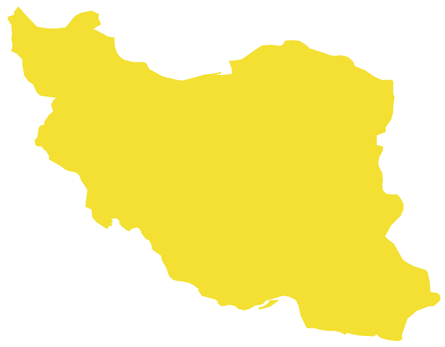
Iran, also known as Persia, officially the Islamic Republic of Iran since 1980, is a country in Western Asia. The vector stencils library Iran contains contours for ConceptDraw PRO diagramming and vector drawing software. This library is contained in the Continent Maps solution from Maps area of ConceptDraw Solution Park.
 Basic Line Graphs
This solution extends the capabilities of ConceptDraw PRO v10.3.0 (or later) with templates, samples and a library of vector stencils for drawing Line Graphs.
- Middle East Map Vector Free
- Middle East Vector Map Png
- Middle East Map Outline Vector
- Middle East - Political map | Geo Map - Asia | MENA's ( Middle East ...
- Middle East Map Vector Free Download
- Middle East - Political map | 3D Column chart - Iran internet users ...
- Continent Maps | Middle East - Political map | Geo Map - Asia ...
- Geo Map - Asia - Jordan | Geo Map - Asia - Israel | Middle East ...
- Asia Middle East Map
- Middle East - Political map | Geo Map - Asia | Political map of Asia ...
- Middle East - Political map | Middle East and North Africa's real GDP ...
- Middle East North Africa Map Black Vector
- Geo Map - Asia - Yemen | Southwest Asia - Political map | Middle ...
- Middle East - Political map | Southwest Asia - Political map | Map of ...
- Middle East - Political map | World Continents Map | South America ...
- MENA's ( Middle East and North Africa's) real GDP growth - Scatter ...
- Europe And Middle East Countries Map Vectoral
- Geo Map - Asia - Philippines | Middle East and North Africa's real ...
- Basic Line Graphs | Mena Map Vector


