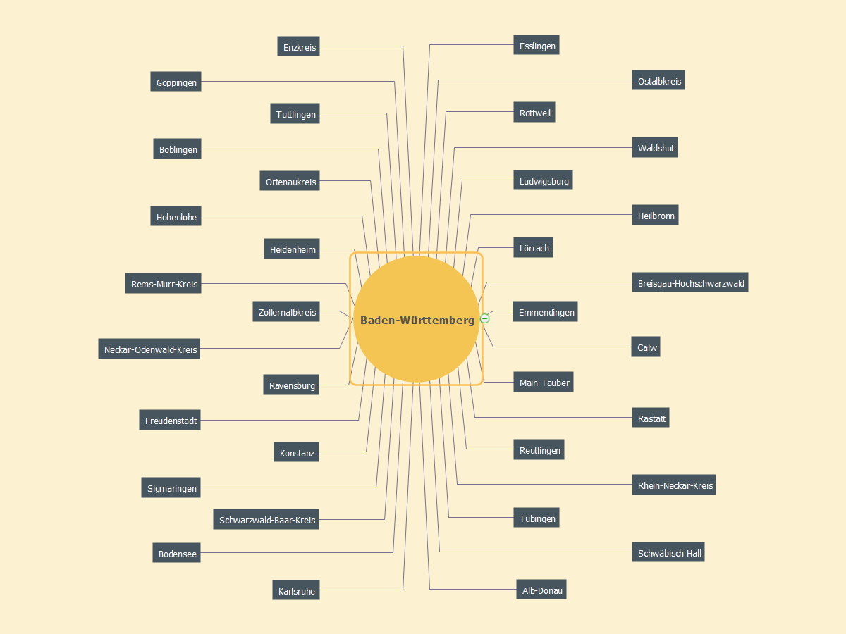
MindMap of Baden-Württemberg Districts
ConceptDraw MINDMAP software is ideal for designing various Mind Maps, for representing characteristics of different cities, regions, countries and continents. The Germany is not exception, the ConceptDraw MINDMAP assists in designing different Germany related Mind Maps. A given Mind Map is also created in ConceptDraw MINDMAP and illustrates the districts of Baden-Württemberg that is the Germany's state situated in the southwest and east of the Upper Rhine. Baden-Württemberg state is the third largest in Germany by size and population, Stuttgart is its capital. The list of districts contains Alb-Donau, Biberach, Bodensee, Böblingen, Breisgau-Hochschwarzwald, Calw, Enzkreis, Emmendingen, Esslingen, Freudenstadt, Göppingen, Heidenheim, Hohenlohe, Heilbronn, Karlsruhe, Konstanz (Constance), Ludwigsburg, Lörrach, Main-Tauber, Neckar-Odenwald-Kreis, Ostalbkreis, Ortenaukreis, Rastatt, Reutlingen, Ravensburg, Rems-Murr-Kreis, Rhein-Neckar-Kreis, Rottweil, Sigmaringen, Schwäbisch Hall, Schwarzwald-Baar-Kreis, Tuttlingen, Tübingen, Waldshut, Zollernalbkreis.Map of Germany — Baden-Württemberg state
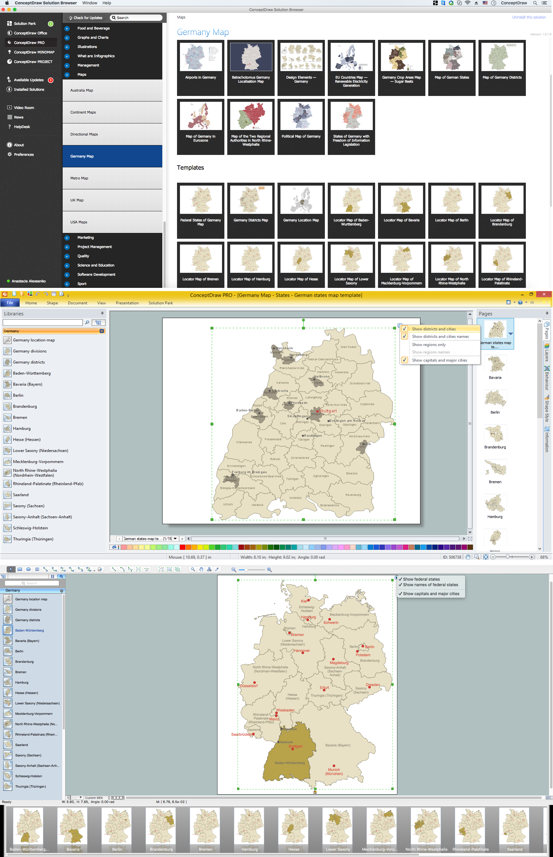
Baden-Württemberg is a state of Germany located in the southwest, east of the Upper Rhine. Despite the fact that the maps surround us everywhere in our life, usually the process of their drawing is sufficienly complex and labor-intensive. But now, thanks to the ConceptDraw PRO diagramming and vector drawing software extended with Germany Map Solution from the Maps Area of ConceptDraw Solution Park, we have the possibility to make easier this process. Design fast and easy your own pictorial maps of Germany, map of Germany with cities, and thematic Germany maps in ConceptDraw PRO!
 Germany Map
The Germany Map solution contains collection of samples, templates and scalable vector stencil graphic maps, representing map of Germany and all 16 states of Germany. Use the Germany Map solution from ConceptDraw Solution Park as the base for various them
ConceptDraw Arrows10 Technology
How should diagramming software work? Is it possible to develop a diagram as quickly as the ideas come to you? The innovative ConceptDraw Smart Connectors Technology - This is more than enough versatility to draw any type of diagram with any degree of complexity. Connection points are necessary for diagramming network, flowchart and organizational charts. In ConceptDraw you connect shapes by attaching, or snapping and gluing, connectors to shape connection points.Map of Germany — Hamburg
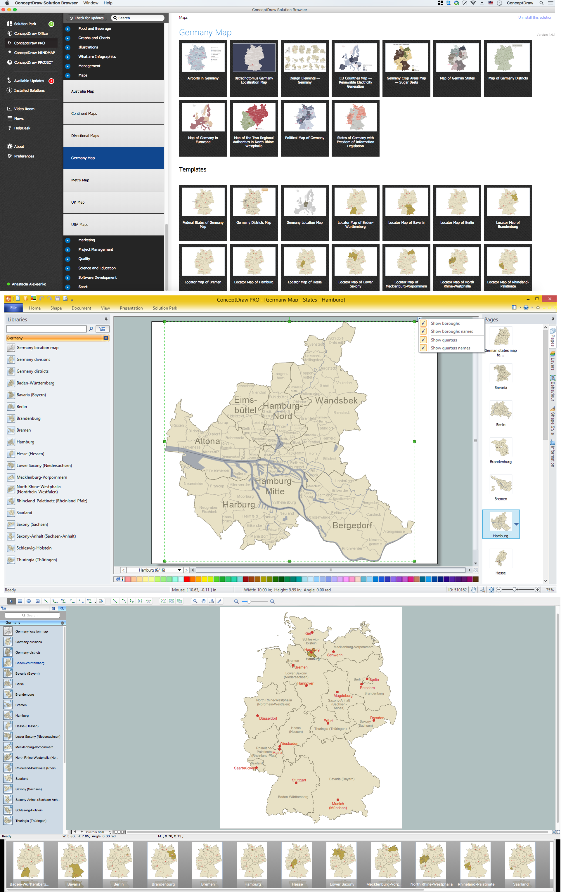
Hamburg is the second largest city in Germany and the eighth largest city in the European Union. It is the second smallest German state by area. Despite the fact that the maps surround us everywhere in our life, usually the process of their drawing is sufficienly complex and labor-intensive. But now, thanks to the ConceptDraw PRO diagramming and vector drawing software extended with Germany Map Solution from the Maps Area of ConceptDraw Solution Park, we have the possibility to make easier this process. Design fast and easy your own pictorial maps of Germany, map of Germany with cities, and thematic Germany maps in ConceptDraw PRO!Geo Map - Europe - Austria
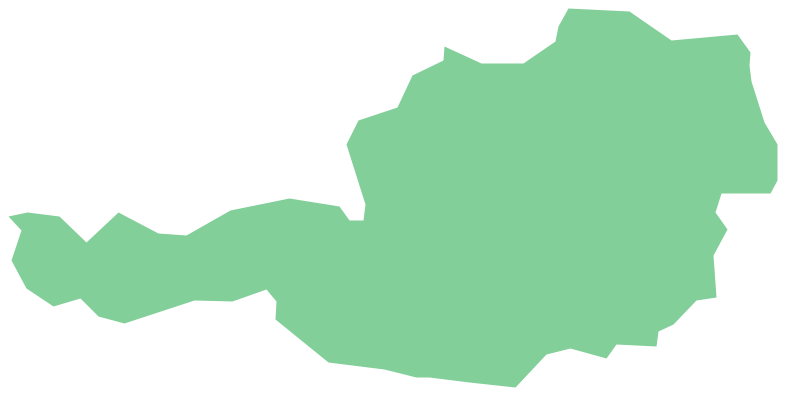
The vector stencils library Austria contains contours for ConceptDraw PRO diagramming and vector drawing software. This library is contained in the Continent Maps solution from Maps area of ConceptDraw Solution Park.Metro Maps
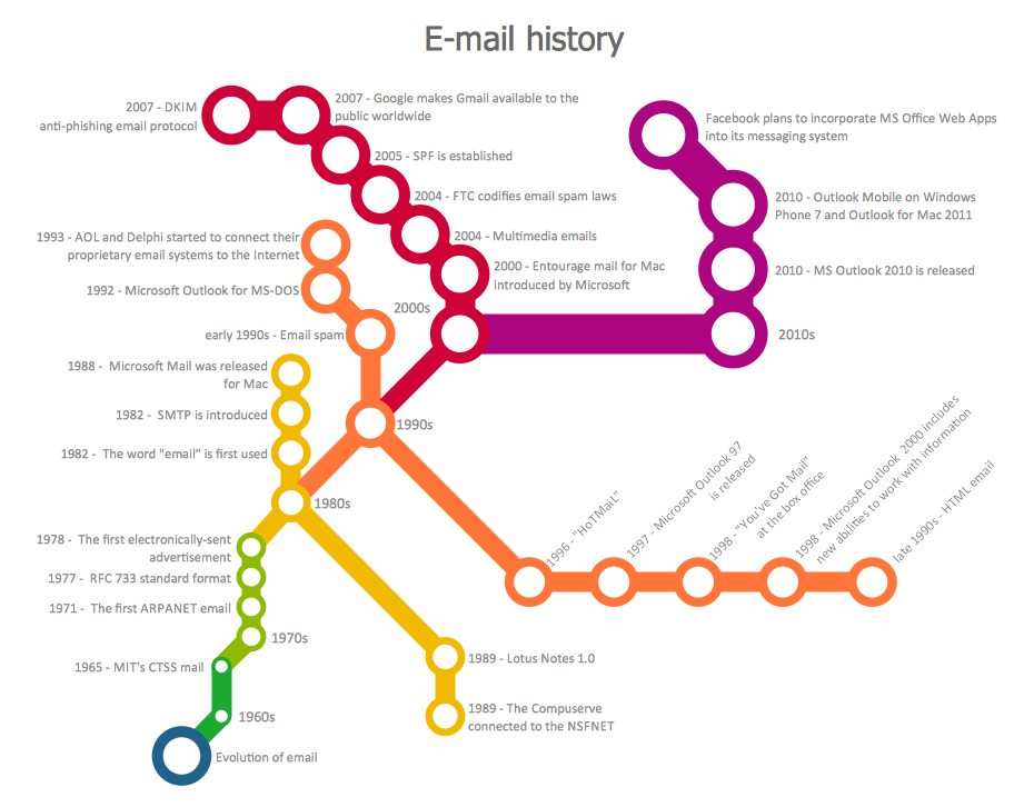
ConceptDraw PRO software enhanced with Metro Map Solution from the Maps Area of ConceptDraw Solution Park provides extensive drawing tools for fast and easy creating various metro maps, route maps, transport schemes, metro path maps, subway train maps, and many other types of maps.
 Education Package
Education Package is a comprehensive set of multifarious graphical solutions from ConceptDraw Solution Park, collected together in help to ConceptDraw PRO users working in a field of science, education and training, which is aimed at improving the quality of education and helping to design with ease variety of interesting and colorful educational materials, diagrams, charts and maps. Use it to present the information and knowledge in an interesting, clear, structured and simple form to achieve a success in education and pedagogy, to maintain the interest of students and pupils throughout the whole learning process, at the lectures, lessons and even during independent work with additional materials, to contribute to better perception of scientific information by listeners during the conferences and reports.
 Business Package for Management
Package intended for professional who designing and documenting business processes, preparing business reports, plan projects and manage projects, manage organizational changes, prepare operational instructions, supervising specific department of an organization, workout customer service processes and prepare trainings for customer service personal, carry out a variety of duties to organize business workflow.
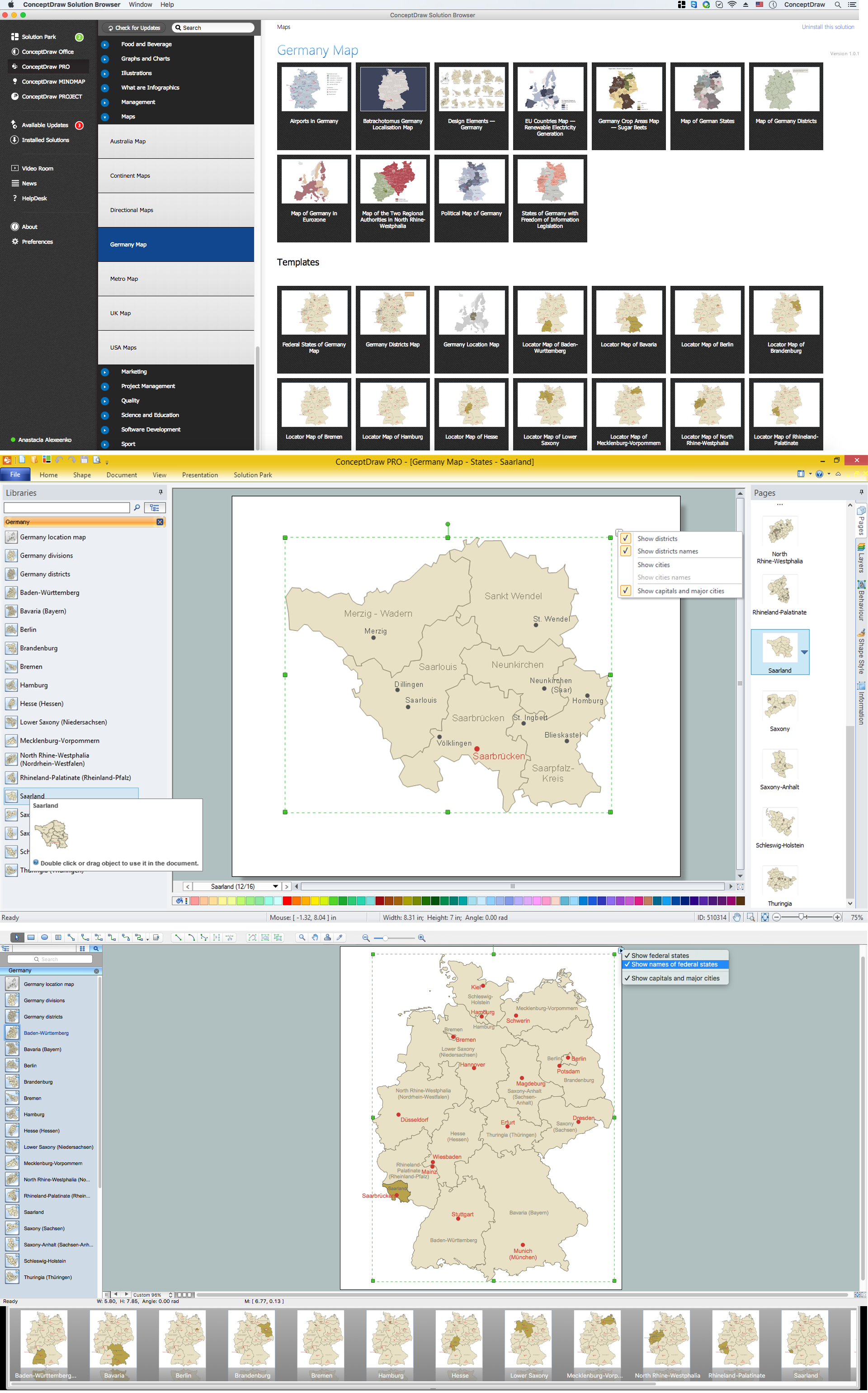
Map of Germany — Saarland State
The Saarland is one of the sixteen federal states (or Bundesländer) of Germany. The capital city is Saarbrücken. Despite the fact that the maps surround us everywhere in our life, usually the process of their drawing is sufficienly complex and labor-intensive. But now, thanks to the ConceptDraw PRO diagramming and vector drawing software extended with Germany Map Solution from the Maps Area of ConceptDraw Solution Park, we have the possibility to make easier this process. Design fast and easy your own pictorial maps of Germany, map of Germany with cities, and thematic Germany maps in ConceptDraw PRO!Geo Map - Europe - Netherlands
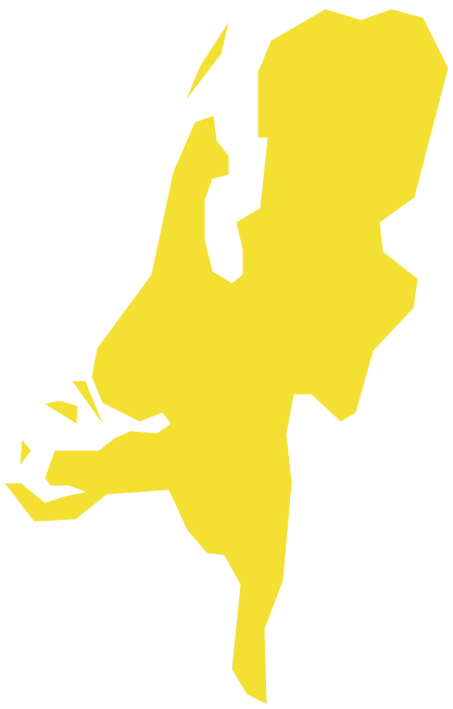
The vector stencils library Netherlands contains contours for ConceptDraw PRO diagramming and vector drawing software. This library is contained in the Continent Maps solution from Maps area of ConceptDraw Solution Park.Map of Germany — Brandenburg State
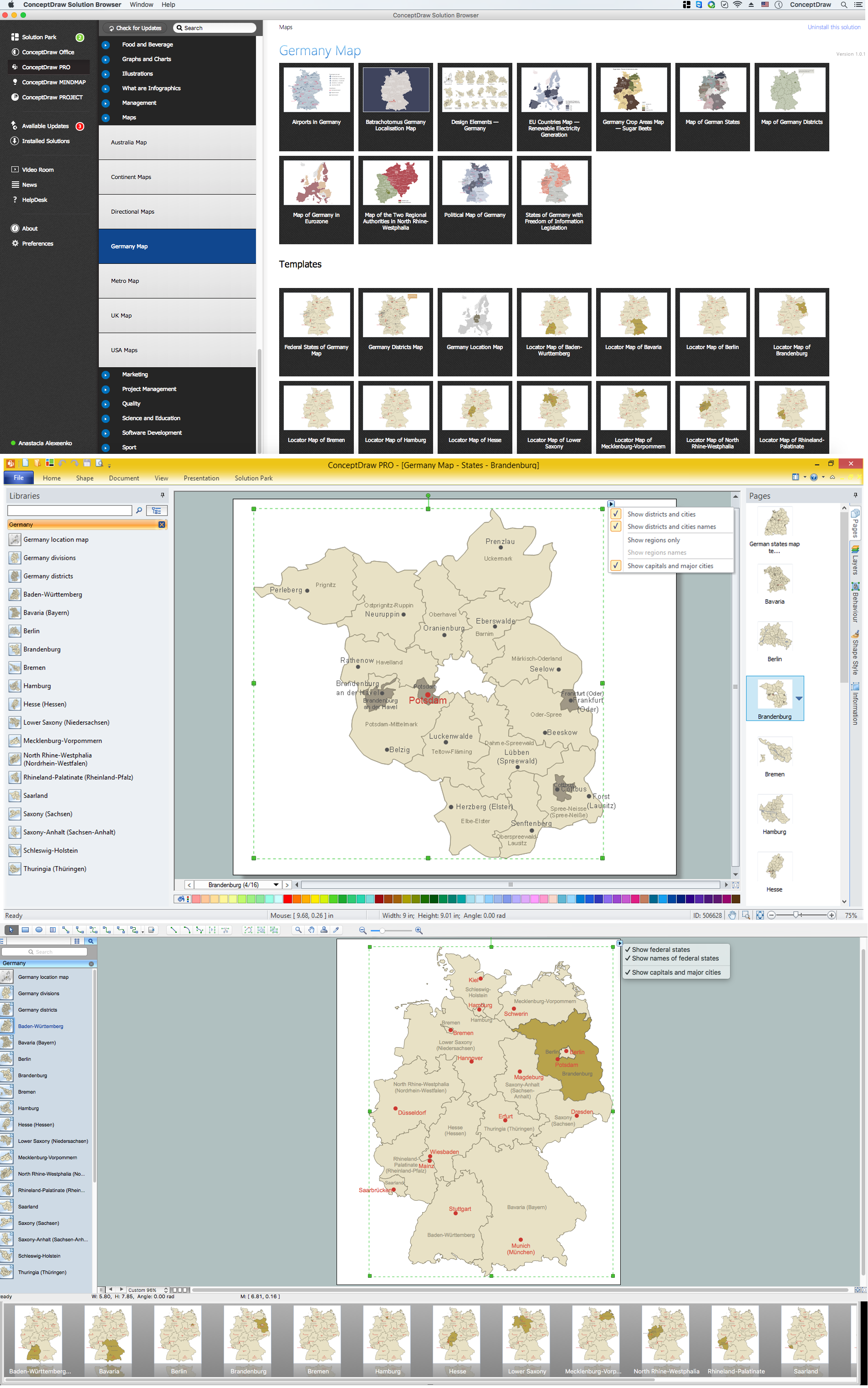
Brandenburg is one of the sixteen federated states of Germany. It lies in the northeast of the country covering an area of 29,478 square kilometers and has 2.45 million inhabitants. Despite the fact that the maps surround us everywhere in our life, usually the process of their drawing is sufficienly complex and labor-intensive. But now, thanks to the ConceptDraw PRO diagramming and vector drawing software extended with Germany Map Solution from the Maps Area of ConceptDraw Solution Park, we have the possibility to make easier this process. Design fast and easy your own pictorial maps of Germany, map of Germany with cities, and thematic Germany maps in ConceptDraw PRO!Geo Map - World
ConceptDraw PRO is idea to draw the geological maps of World from the pre-designed vector geo map shapes.Map of Germany — Hesse State
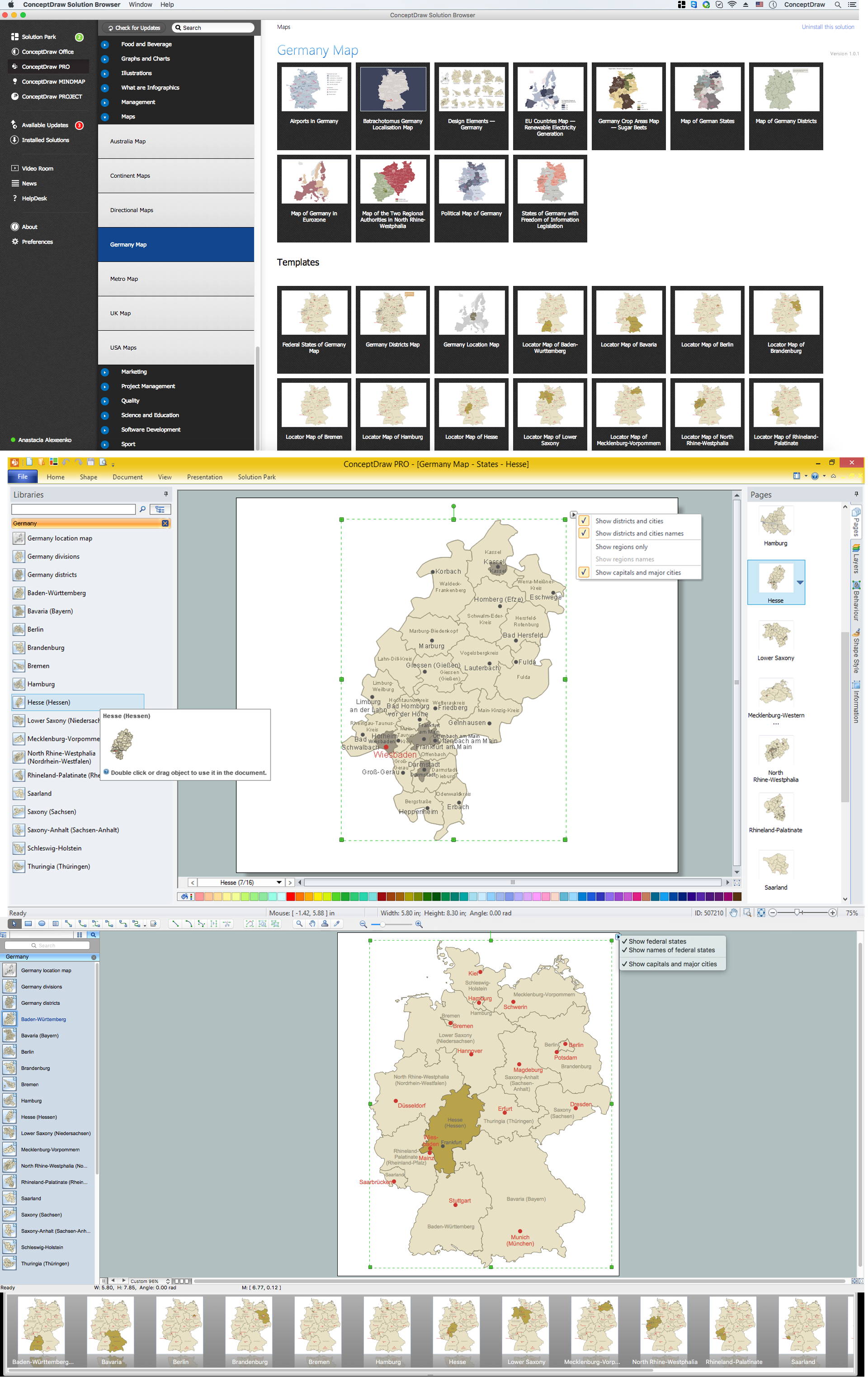
Hesse is a federal state (Land) of the Federal Republic of Germany, with just over six million inhabitants. Despite the fact that the maps surround us everywhere in our life, usually the process of their drawing is sufficienly complex and labor-intensive. But now, thanks to the ConceptDraw PRO diagramming and vector drawing software extended with Germany Map Solution from the Maps Area of ConceptDraw Solution Park, we have the possibility to make easier this process. Design fast and easy your own pictorial maps of Germany, map of Germany with cities, and thematic Germany maps in ConceptDraw PRO!Map of Germany — Schleswig-Holstein State
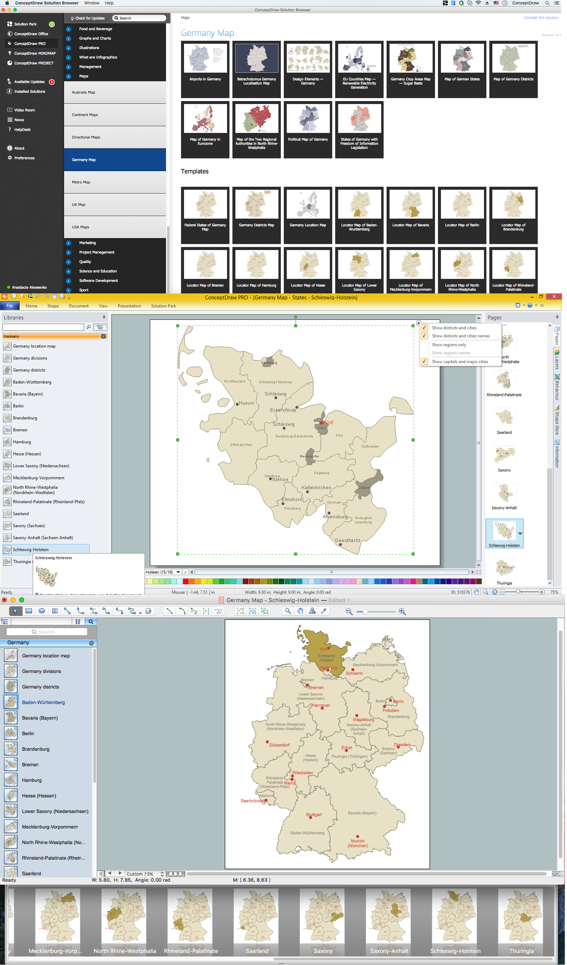
Schleswig-Holstein is the northernmost of the 16 states of Germany, comprising most of the historical duchy of Holstein and the southern part of the former Duchy of Schleswig. Its capital city is Kiel. Despite the fact that the maps surround us everywhere in our life, usually the process of their drawing is sufficienly complex and labor-intensive. But now, thanks to the ConceptDraw PRO diagramming and vector drawing software extended with Germany Map Solution from the Maps Area of ConceptDraw Solution Park, we have the possibility to make easier this process. Design fast and easy your own pictorial maps of Germany, map of Germany with cities, and thematic Germany maps in ConceptDraw PRO!- MindMap of Baden - Württemberg Districts | Geo Map - Asia | Geo ...
- MindMap of Baden - Württemberg Districts | Map of Germany ...
- How to Share Mind Maps via Internet | Export from ConceptDraw ...
- Easy Population Mind Map Pictures
- Mind Map Of Australia And New Zealand
- New Zealand And Europe Mind Map
- Map Of East Germany With Cities
- Malaysia Map Image
- Geo Map - Canada - Quebec | Geo Map - South America Continent ...
- Geo Map - Asia - Indonesia
- Geo Map - United States of America Map | Learn how to create a ...
- Germany Maps Design Vector Samples
- Vector Map of Germany | Maps of Germany With Cities | Map of ...
- How to Draw a Mind Map on PC Using ConceptDraw MINDMAP ...
- Powerpoint About Mind Mapping In English
- Fire Exit Plan. Building Plan Examples | Emergency Plan ...
- Emergency Plan | 7 Continents Map | Map of Germany | Example Of ...
- Map of USA States
- New German Map Solution for ConceptDraw PRO v10
