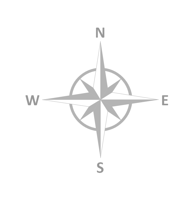
The vector stencils library "Map symbols" contains 10 spatial infographics symbols.
Use these signs and pictograms for drawing road and transit maps in the ConceptDraw PRO diagramming and vector drawing software extended with the Spatial Infographics solution from the area "What is Infographics" of ConceptDraw Solution Park.
Use these signs and pictograms for drawing road and transit maps in the ConceptDraw PRO diagramming and vector drawing software extended with the Spatial Infographics solution from the area "What is Infographics" of ConceptDraw Solution Park.
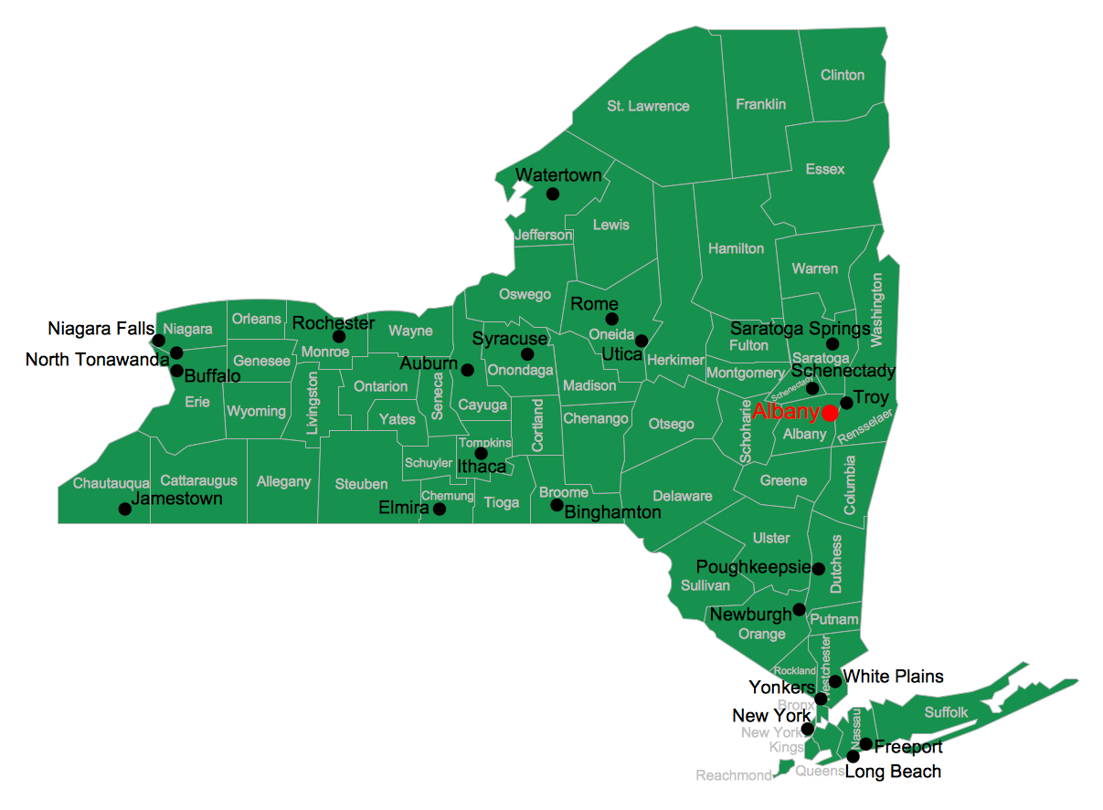
USA Map
Usually designing of maps, including the USA Map is a quite complex, long and labour-intensive process. But now we have an excellent possibility to make it easier with ConceptDraw PRO diagramming and vector drawing software extended with powerful USA Maps Solution from the Maps Area of ConceptDraw Solution Park.
 Australia Map
For graphic artists creating accurate maps of Australia. The Australia Map solution - allows designers to map Australia for their needs, offers a collection of scalable graphics representing the political geography of Australia, split into distinct state
The vector stencils library "Landmarks" contains 34 signs and pictograms for drawing road and transit maps.
The vector stencils library "Map symbols" contains 10 signs and pictograms for drawing road and transit maps.
"A landmark is a recognizable natural or man-made feature used for navigation, a feature that stands out from its near environment and is often visible from long distances.
In modern use, the term can also be applied to smaller structures or features, that have become local or national symbols." [Landmark. Wikipedia]
The pictograms example "Design elements - Location map" was created using the ConceptDraw PRO diagramming and vector drawing software extended with the Spatial Infographics solution from the Maps area of ConceptDraw Solution Park.
- North Arrow Architecture Vector Png
- Architectural North Arrows
- North Arrow Architecture Symbol
- North Symbol Architecture Png
- Modern Graphic Arrow Png
- North Sign Architecture Vector Png
- Architectural North Sign Png Image
- Wind Arrows Architecture
- North Arrow Icon Png
- Map symbols - Vector stencils library | Travel and tourism pictograms ...
- Different Symbol Of North Direction
- Landmarks - Vector stencils library | How to draw Metro Map style ...
- Photoshop Arrow Png
- Architectural Drawings North Arrow
- Architectural Curved Arrows Png
- Map Locator Png
- Landmarks - Vector stencils library | Example of DFD for Online ...
- Site Plan North Arrow
- Map symbols - Vector stencils library
- Arrow Photoshop Png


