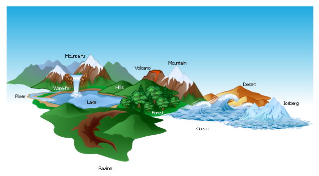
The vector clipart library Geography contains 14 images of geographical features: ocean, forest, river, lake, waterfall, mountains, ravine, volcano, desert, hills, iceberg, trees.
Use the design elements library Geography to draw illustrations with landform images using the ConceptDraw PRO diagramming and vector drawing software.
"A landform in the earth sciences comprises a geomorphological unit, and is largely defined by its surface form and location in the landscape. As part of the terrain a landform is an element of topography. Landform elements also include land such as hills, mountains, plateaus,canyons,valleys, seascape and oceanic waterbody interface features such as bays, peninsulas, seas and so forth, including sub-aqueous terrain features such as mid-ocean ridges, volcanoes,and the great ocean basins." [Landform. Wikipedia]
This landscape illustration example is included in the Nature solution from the Illustration area of ConceptDraw Solution Park.
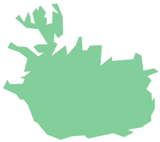
Geo Map - Europe - Iceland
The vector stencils library Iceland contains contours for ConceptDraw PRO diagramming and vector drawing software. This library is contained in the Continent Maps solution from Maps area of ConceptDraw Solution Park.Map of USA
It is impossible to imagine modern life and science without maps, they surround us anywhere, they are used in geography, history, politics, economics, and many other fields of science. ConceptDraw PRO diagramming and vector drawing software offers the USA Maps Solution from the Maps Area of ConceptDraw Solution Park with its collection of samples and libraries for easy drawing the Map of USA.Geo Map - USA - Colorado
Colorado is a U.S. state encompassing most of the Southern Rocky Mountains as well as the northeastern portion of the Colorado Plateau and the western edge of the Great Plains. The vector stencils library Colorado contains contours for ConceptDraw PRO diagramming and vector drawing software. This library is contained in the Continent Maps solution from Maps area of ConceptDraw Solution Park.Geo Map - USA - Georgia
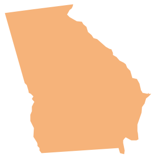
Georgia is a state located in the southeastern United States. The vector stencils library Georgia contains contours for ConceptDraw PRO diagramming and vector drawing software. This library is contained in the Continent Maps solution from Maps area of ConceptDraw Solution Park.- Design elements - Geography | Drawing Of Mountain Hills Plateau ...
- A Nature With Mountain Valley Hills Plateaus Drawing
- Elements Of Nature River Ocean Mountain Hill Forest Volcano
- Mountain With Waterfall Drawing
- Mountain To River Illustration
- Mountains Hills River Sea
- Hills And Mountains Drawing
- Drawing Of Mountains Rivers Forests Seas
- Design Elements Geography To Draw Illustrations
- Mountain Drawing
- Design elements - Map of US Mountain | Telecommunication ...
- Draw Mountains
- Drawing Of River Lake And Waterfall
- Drawing Illustration | Geo Map - USA - Montana | Geo Map of ...
- Ski lift in the snow capped mountains | Design elements ...
- Mountain Vector Illustration
- River Originated From Mountain Drawing
- Mountains Hills Forest Deserts
- Map Software | How to Draw a Natural Landscape | Geo Map - Africa ...
- Drawing Illustration | How to Draw a Natural Landscape | Nature ...


