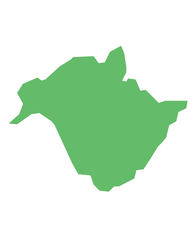
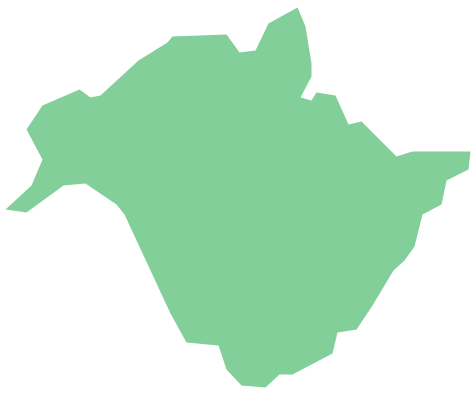
Geo Map - Canada - New Brunswick
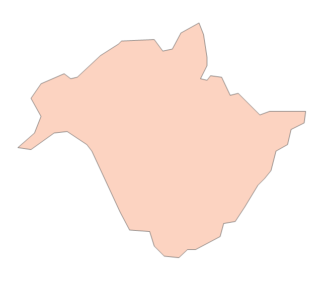
New Brunswick is one of Canada's three Maritime provinces and is the only province in the Canadian federation that is constitutionally bilingual (English–French). The vector stencils library New Brunswick contains contours for ConceptDraw DIAGRAM diagramming and vector drawing software. This library is contained in the Continent Maps solution from Maps area of ConceptDraw Solution Park.The vector stencils library "Chemical elements" contains 118 icon symbols of chemical elements.
Use these shapes for drawing atoms, structural formulas of inorganic and organic molecules and ions, and schemes of chemical reaction mechanisms in the ConceptDraw PRO diagramming and vector drawing software extended with the Chemistry solution from the Science and Education area of ConceptDraw Solution Park.
www.conceptdraw.com/ solution-park/ science-education-chemistry
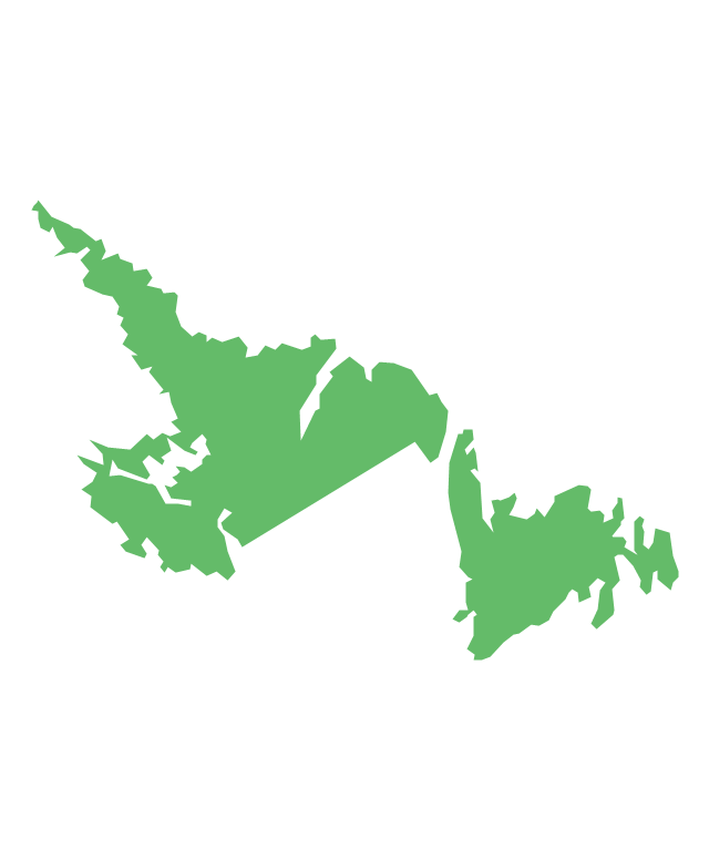
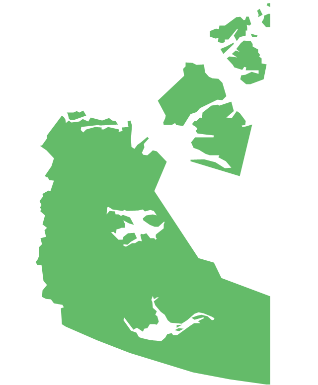
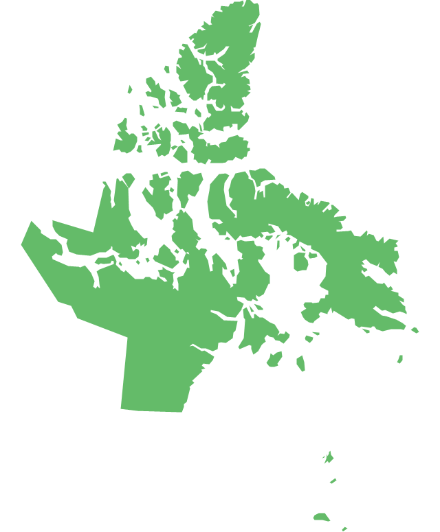
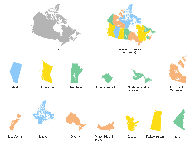
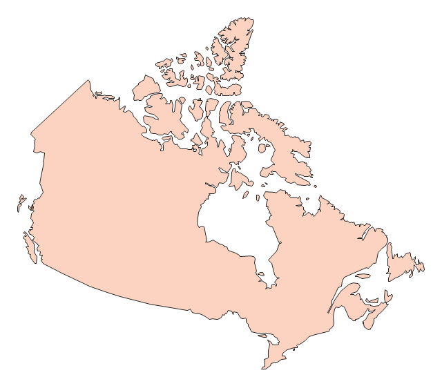
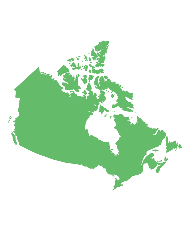
The vector stencils library "Canada" contains 15 map contours for drawing thematic maps of Canada. Use it for visual representation of geospatial information, statistics and quantitative data.
"The provinces and territories of Canada combine to make up the world's second-largest country by area. Originally three provinces of British North America, New Brunswick, Nova Scotia and the Province of Canada (which would become Ontario and Quebec) united to form the new nation. Since then, Canada's external borders have changed several times, and has grown from four initial provinces to ten provinces and three territories as of 1999. The ten provinces are Alberta, British Columbia, Manitoba, New Brunswick, Newfoundland and Labrador, Nova Scotia, Ontario, Prince Edward Island, Quebec, and Saskatchewan. The three territories are Northwest Territories, Nunavut, and Yukon." [Provinces and territories of Canada. Wikipedia]
The map contours example "Canada - Vector stencils library" was created using the ConceptDraw PRO diagramming and vector drawing software extended with the Continent Maps solution from the Maps area of ConceptDraw Solution Park.
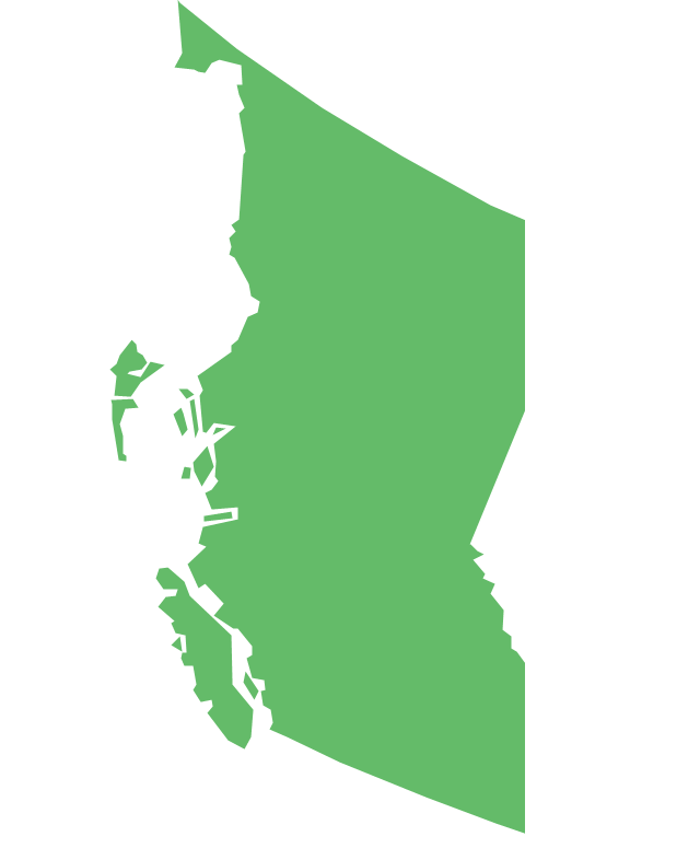
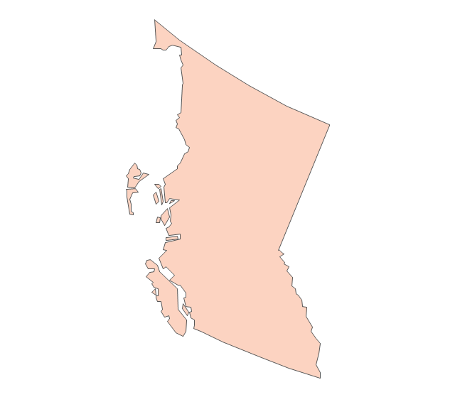
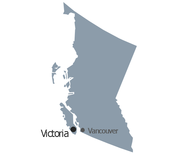
Geo Map - Canada - British Columbia
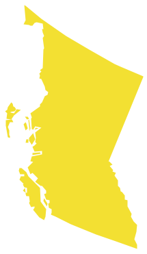
British Columbia, also commonly referred to by its initials BC or B.C. The vector stencils library British Columbia contains contours for ConceptDraw DIAGRAM diagramming and vector drawing software. This library is contained in the Continent Maps solution from Maps area of ConceptDraw Solution Park.Geo Map - Canada - Manitoba
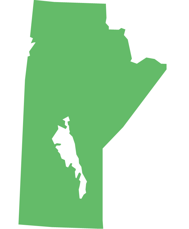
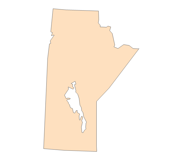
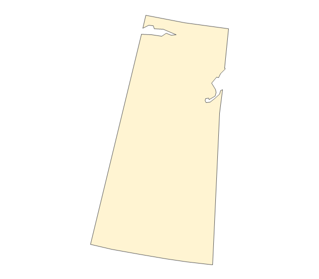
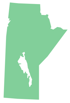
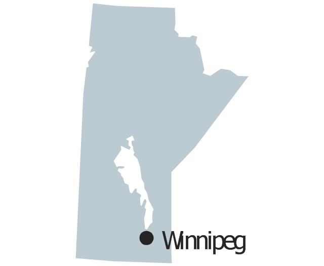
Manitoba is a Canadian prairie province. The vector stencils library Manitoba contains contours for ConceptDraw DIAGRAM diagramming and vector drawing software. This library is contained in the Continent Maps solution from Maps area of ConceptDraw Solution Park.Geo Map - Canada
Canada is a country in North America consisting of 10 provinces and 3 territories. ConceptDraw DIAGRAM is idea to draw the geological maps of Canada from the pre-designed vector geo map shapes.Geo Map - Canada - Nova Scotia
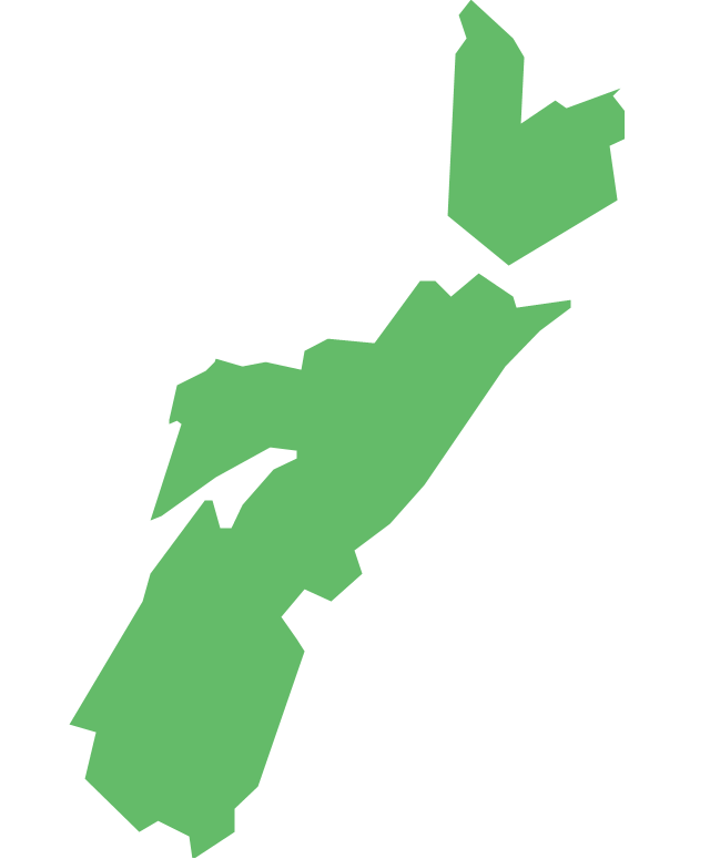
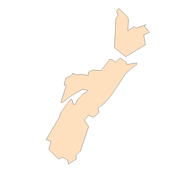
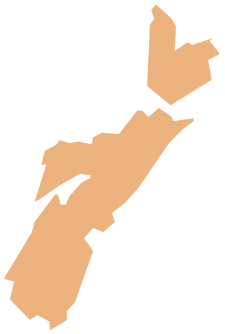
Nova Scotia is one of Canada's three Maritime provinces and constitutes one of the four Atlantic Canada provinces. The vector stencils library Nova Scotia contains contours for ConceptDraw DIAGRAM diagramming and vector drawing software. This library is contained in the Continent Maps solution from Maps area of ConceptDraw Solution Park.The vector stencils library "Management map Canada" contains 14 state map contours of Canada.
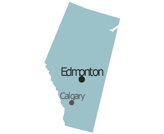
Use it to create your management infogram in the ConceptDraw PRO diagramming and vector drawing software.
The state map contours example "Management map Canada - Vector stencils library" is included in the solution "Marketing infographics" from the "Business infographics" area of ConceptDraw Solution Park.
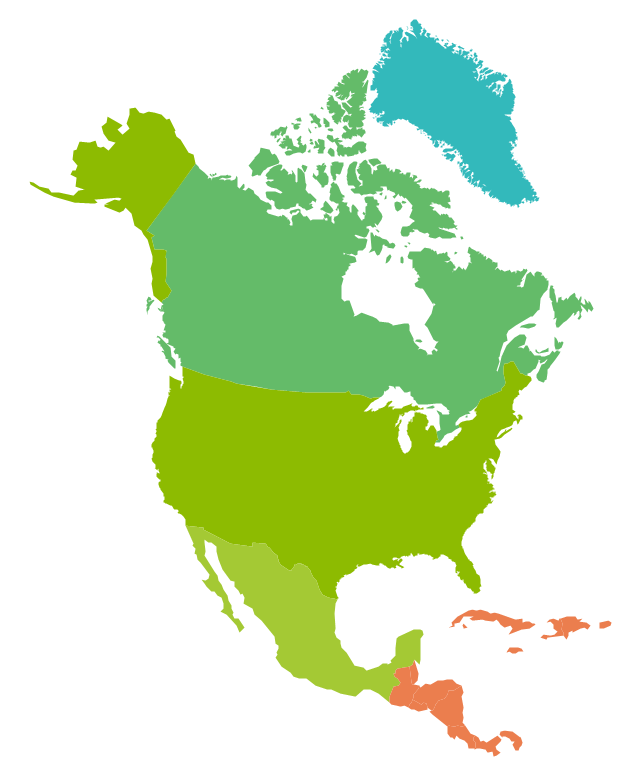
The vector stencils library "North America" contains 70 contours for drawing thematic maps of North America in spatial infographics.
Use it for visual representation of geospatial information, statistics and quantitative data in the ConceptDraw PRO diagramming and vector drawing software extended with the Spatial Infographics solution from the area "What is Infographics" of ConceptDraw Solution Park.
Use it for visual representation of geospatial information, statistics and quantitative data in the ConceptDraw PRO diagramming and vector drawing software extended with the Spatial Infographics solution from the area "What is Infographics" of ConceptDraw Solution Park.
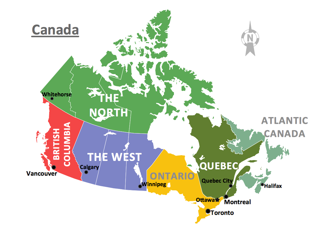
"The provinces and territories of Canada combine to make up the world's second-largest country by area. Originally three provinces of British North America, New Brunswick, Nova Scotia and the Province of Canada (which would become Ontario and Quebec) united to form the new nation. Since then, Canada's external borders have changed several times, and has grown from four initial provinces to ten provinces and three territories as of 1999. The ten provinces are Alberta, British Columbia, Manitoba, New Brunswick, Newfoundland and Labrador, Nova Scotia, Ontario, Prince Edward Island, Quebec, and Saskatchewan. The three territories are Northwest Territories, Nunavut, and Yukon." [Provinces and territories of Canada. Wikipedia]
This political map was redesigned from
Wikipedia file: Canada regions map.svg.
[commons.wikimedia.org/ wiki/ File:Canada_ regions_ map.svg]
The political map example "Canada regions" was created using ConceptDraw PRO diagramming and vector drawing software extended with Continent Maps solution from Maps area of ConceptDraw Solution Park.
The vector stencils library "Chemical elements" contains 118 icon symbols of chemical elements.
Use these shapes for drawing atoms, structural formulas of inorganic and organic molecules and ions, and schemes of chemical reaction mechanisms in the ConceptDraw PRO diagramming and vector drawing software extended with the Chemistry solution from the Science and Education area of ConceptDraw Solution Park.
www.conceptdraw.com/ solution-park/ science-education-chemistry
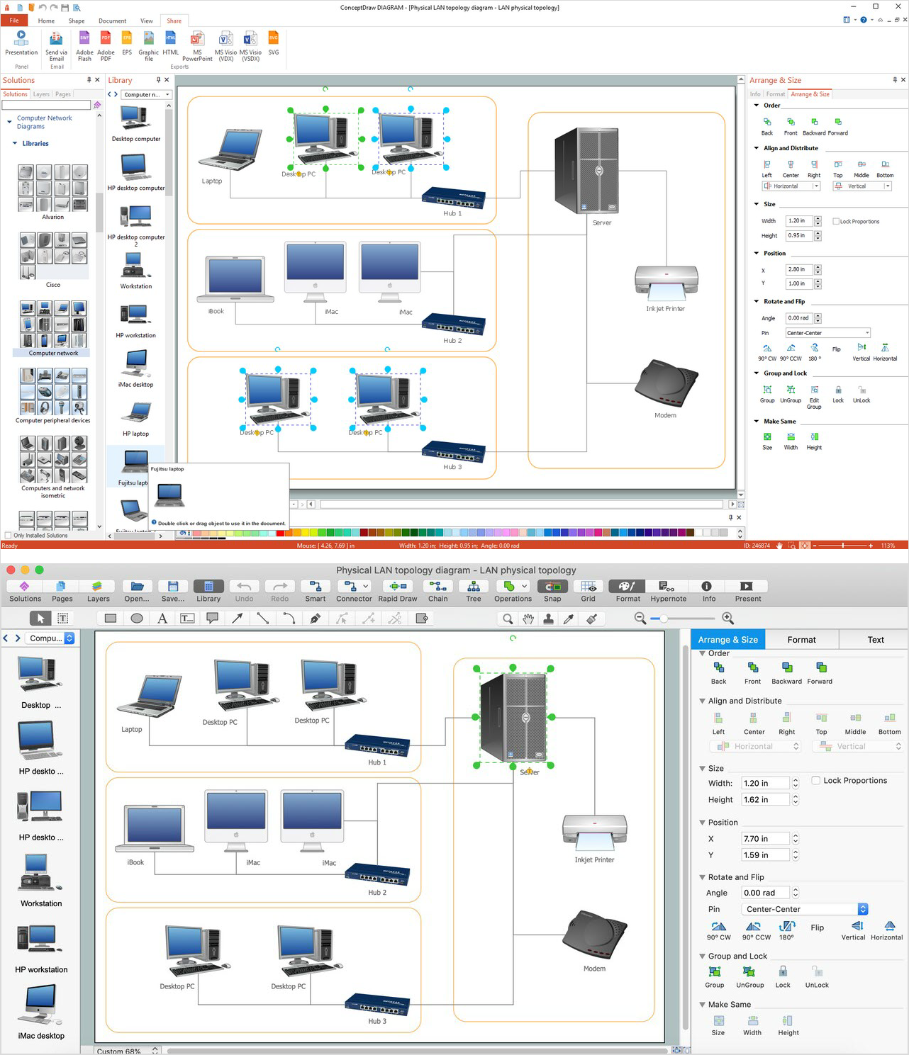
Network Diagram Software. LAN Network Diagrams. Physical Office Network Diagrams
Physical LAN Diagrams illustrate the communication schemes of Local Area Networks, the physical network connection of computers and networks arrangement on the small areas - at homes, offices, and other buildings. ConceptDraw DIAGRAM is a perfect network diagramming software with samples and examples of WAN and LAN Diagrams, templates and collection of network components libraries. Computer Network Diagrams Solution for ConceptDraw DIAGRAM Mac and Windows is ideal for IT professionals, network engineers and network designers who need to visualize network architecture, to document LANs physical structure and arrangement, to draw Local Area Network (LAN) diagrams and schematics, WAN diagrams, physical office network diagrams and topologies, wiring drawings, etc. You can design all them easy using the predesigned vector objects of computers and computer network devices, hardware devices, peripheral devices, external digital devices, internet and logical symbols, and many other stencils from the Computer Network Diagrams libraries. ConceptDraw DIAGRAM offers a powerful and easy-to-use solution for those who looking for a Visio alternative for Mac. It is a world-class diagramming platform with dynamic presentation power.
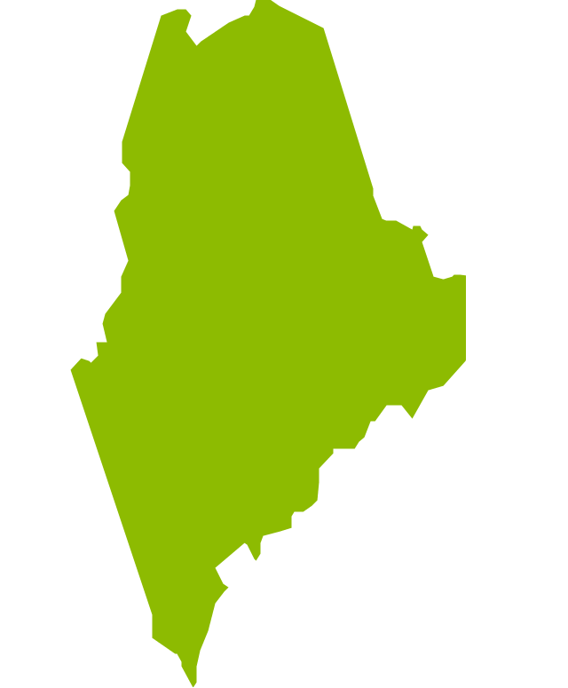
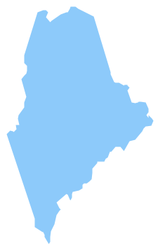
Geo Map - USA - Maine
Maine is a state in the New England region of the northeastern United States, bordered by the Atlantic Ocean to the east and south; New Hampshire to the west; the Canadian provinces of Quebec to the northwest; and New Brunswick to the northeast. The vector stencils library Maine contains contours for ConceptDraw DIAGRAM diagramming and vector drawing software. This library is contained in the Continent Maps solution from Maps area of ConceptDraw Solution Park.Use the map contours library "Canada" to design thematic maps using the ConceptDraw PRO diagramming and vector drawing software.
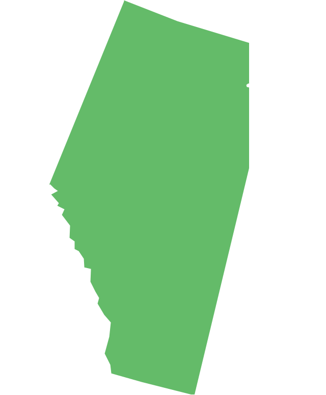
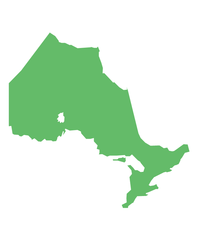
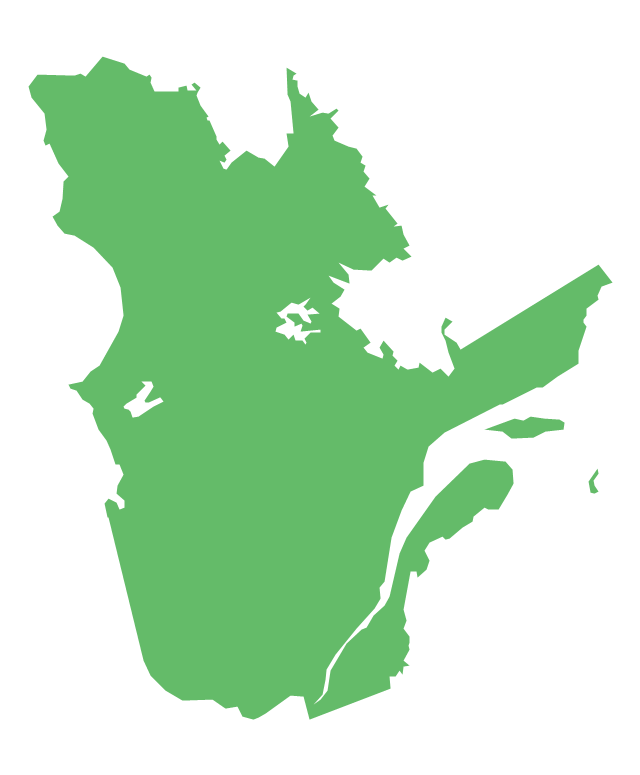
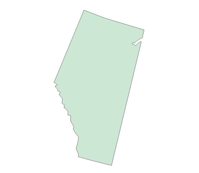
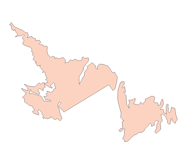
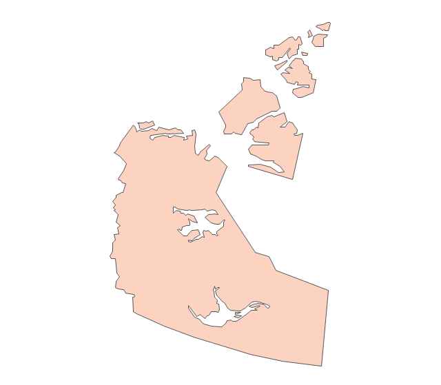
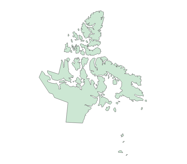
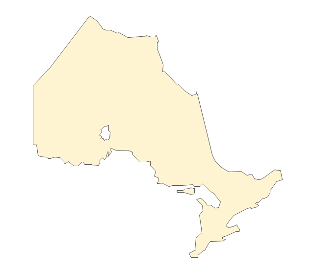
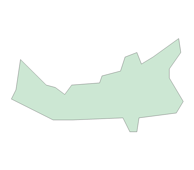
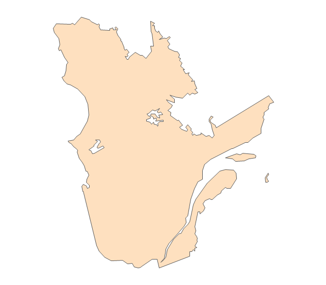
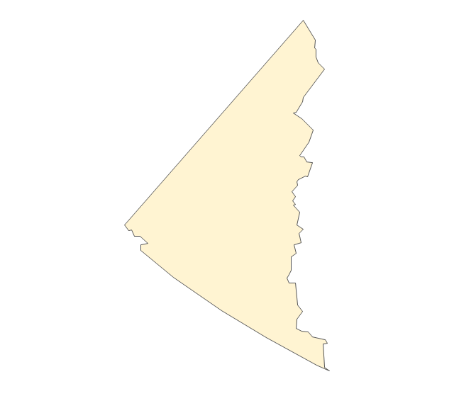
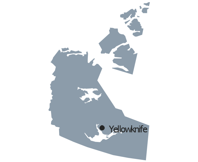
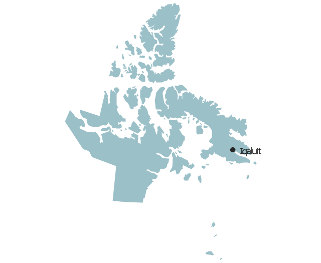
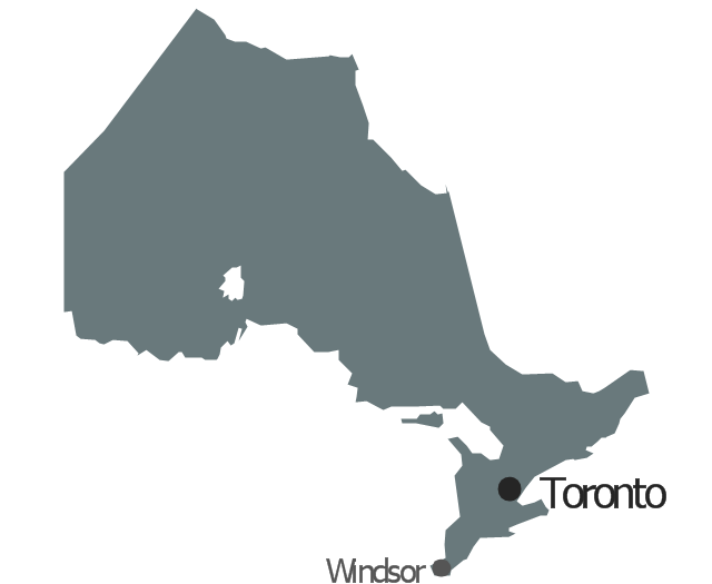
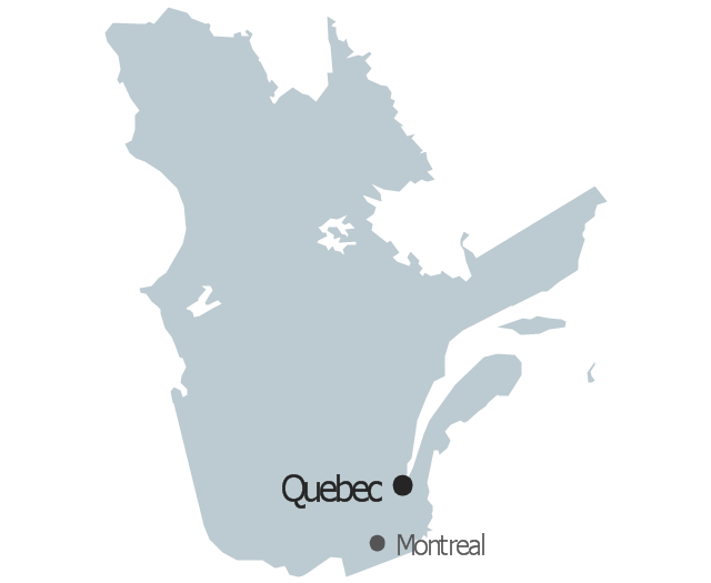
The vector stencils library "Canada" contains 15 map contours: Canada political map and map contours of Canada provinces and territories: Alberta, British Columbia, Manitoba, New Brunswick, Newfoundland and Labrador, Northwest Territories, Nova Scotia, Nunavut, Ontario, Prince Edward Island, Quebec, Saskatchewan, Yukon.
The map contours example "Design elements - Canada" is included in the Continent Maps solution from the Maps area of ConceptDraw Solution Park.
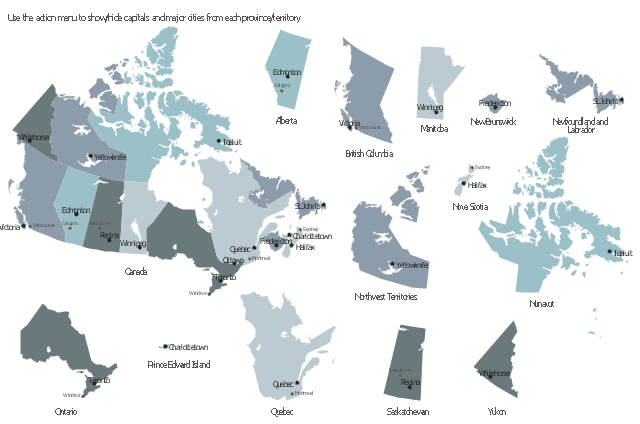
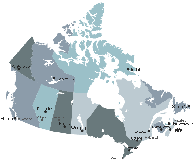
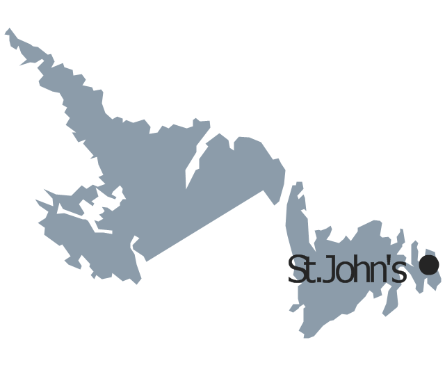
This sample displays state map contours with capitals and major cities of Canada provinces and territories. Use it to design your management infographics.
"The provinces and territories of Canada combine to make up the world's second-largest country by area. ... The ten provinces are Alberta, British Columbia, Manitoba, New Brunswick, Newfoundland and Labrador, Nova Scotia, Ontario, Prince Edward Island, Quebec, and Saskatchewan. The three territories are Northwest Territories, Nunavut, and Yukon." [Canada. Wikipedia]
The infogram shapes example "Design elements - Management map Canada" was created using the ConceptDraw PRO diagramming and vector drawing software extended with the Management Infographics solition from the area "Business Infographics" in ConceptDraw Solution Park.
- Nb Geo Maps On Mac
- Geo Map - Canada - New Brunswick | North America - Vector ...
- Geo Map - Canada - Ontario
- The Reed-Kellogg system - Basic schemata | Compound sentence ...
- Geo Map - Canada - Yukon | Canada - Vector stencils library ...
- Geo Map - Canada - Nunavut | Canada - Vector stencils library | Geo ...
- Geo Map - Canada - Nova Scotia | Canada - Vector stencils library ...
- Geo Map - Canada - Newfoundland and Labrador | Canada - Vector ...
- Geo Map - Canada - Saskatchewan | Canada - Vector stencils ...
- Geo Map - Canada - Prince Edward Island | Canada - Vector ...
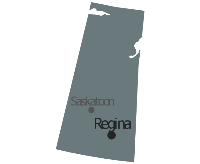
- Geo Map - Canada - Saskatchewan | Management map Canada ...
- Geo Map - Canada | Canada - Vector stencils library | Geo Map ...
- Geo Map - Canada - Ontario | North America - Vector stencils library ...
- Map Of Canada Wikipedia
- Geo Map - Canada - Nunavut
- Management map Canada - Vector stencils library | North America ...
- Geo Map - Canada - Northwest Territories | North America - Vector ...
- Vector Map Of Canada's
- Chemical elements - Vector stencils library | Chemical elements ...
- UK Map | Map of England | Geo Map - Europe - France | Map Of ...
-chemical-elements---vector-stencils-library.png--diagram-flowchart-example.png)
-chemical-elements---vector-stencils-library.png--diagram-flowchart-example.png)
-chemical-elements---vector-stencils-library.png--diagram-flowchart-example.png)
-chemical-elements---vector-stencils-library.png--diagram-flowchart-example.png)
-chemical-elements---vector-stencils-library.png--diagram-flowchart-example.png)
-chemical-elements---vector-stencils-library.png--diagram-flowchart-example.png)
-chemical-elements---vector-stencils-library.png--diagram-flowchart-example.png)
-chemical-elements---vector-stencils-library.png--diagram-flowchart-example.png)
-chemical-elements---vector-stencils-library.png--diagram-flowchart-example.png)
-chemical-elements---vector-stencils-library.png--diagram-flowchart-example.png)
-chemical-elements---vector-stencils-library.png--diagram-flowchart-example.png)
-chemical-elements---vector-stencils-library.png--diagram-flowchart-example.png)
-chemical-elements---vector-stencils-library.png--diagram-flowchart-example.png)
-chemical-elements---vector-stencils-library.png--diagram-flowchart-example.png)
-chemical-elements---vector-stencils-library.png--diagram-flowchart-example.png)
-chemical-elements---vector-stencils-library.png--diagram-flowchart-example.png)
-chemical-elements---vector-stencils-library.png--diagram-flowchart-example.png)
-chemical-elements---vector-stencils-library.png--diagram-flowchart-example.png)
-chemical-elements---vector-stencils-library.png--diagram-flowchart-example.png)
-chemical-elements---vector-stencils-library.png--diagram-flowchart-example.png)
-chemical-elements---vector-stencils-library.png--diagram-flowchart-example.png)
-chemical-elements---vector-stencils-library.png--diagram-flowchart-example.png)
-chemical-elements---vector-stencils-library.png--diagram-flowchart-example.png)
-chemical-elements---vector-stencils-library.png--diagram-flowchart-example.png)
-chemical-elements---vector-stencils-library.png--diagram-flowchart-example.png)
-chemical-elements---vector-stencils-library.png--diagram-flowchart-example.png)
-chemical-elements---vector-stencils-library.png--diagram-flowchart-example.png)
-chemical-elements---vector-stencils-library.png--diagram-flowchart-example.png)
-chemical-elements---vector-stencils-library.png--diagram-flowchart-example.png)
-chemical-elements---vector-stencils-library.png--diagram-flowchart-example.png)
-chemical-elements---vector-stencils-library.png--diagram-flowchart-example.png)
-chemical-elements---vector-stencils-library.png--diagram-flowchart-example.png)
-chemical-elements---vector-stencils-library.png--diagram-flowchart-example.png)
-chemical-elements---vector-stencils-library.png--diagram-flowchart-example.png)
-chemical-elements---vector-stencils-library.png--diagram-flowchart-example.png)
-chemical-elements---vector-stencils-library.png--diagram-flowchart-example.png)
-chemical-elements---vector-stencils-library.png--diagram-flowchart-example.png)
-chemical-elements---vector-stencils-library.png--diagram-flowchart-example.png)
-chemical-elements---vector-stencils-library.png--diagram-flowchart-example.png)
-chemical-elements---vector-stencils-library.png--diagram-flowchart-example.png)
-chemical-elements---vector-stencils-library.png--diagram-flowchart-example.png)
-chemical-elements---vector-stencils-library.png--diagram-flowchart-example.png)
-chemical-elements---vector-stencils-library.png--diagram-flowchart-example.png)
-chemical-elements---vector-stencils-library.png--diagram-flowchart-example.png)
-chemical-elements---vector-stencils-library.png--diagram-flowchart-example.png)
-chemical-elements---vector-stencils-library.png--diagram-flowchart-example.png)
-chemical-elements---vector-stencils-library.png--diagram-flowchart-example.png)
-chemical-elements---vector-stencils-library.png--diagram-flowchart-example.png)
-chemical-elements---vector-stencils-library.png--diagram-flowchart-example.png)
-chemical-elements---vector-stencils-library.png--diagram-flowchart-example.png)
-chemical-elements---vector-stencils-library.png--diagram-flowchart-example.png)
-chemical-elements---vector-stencils-library.png--diagram-flowchart-example.png)
-chemical-elements---vector-stencils-library.png--diagram-flowchart-example.png)
-chemical-elements---vector-stencils-library.png--diagram-flowchart-example.png)
-chemical-elements---vector-stencils-library.png--diagram-flowchart-example.png)
-chemical-elements---vector-stencils-library.png--diagram-flowchart-example.png)
-chemical-elements---vector-stencils-library.png--diagram-flowchart-example.png)
-chemical-elements---vector-stencils-library.png--diagram-flowchart-example.png)
-chemical-elements---vector-stencils-library.png--diagram-flowchart-example.png)
-chemical-elements---vector-stencils-library.png--diagram-flowchart-example.png)
-chemical-elements---vector-stencils-library.png--diagram-flowchart-example.png)
-chemical-elements---vector-stencils-library.png--diagram-flowchart-example.png)
-chemical-elements---vector-stencils-library.png--diagram-flowchart-example.png)
-chemical-elements---vector-stencils-library.png--diagram-flowchart-example.png)
-chemical-elements---vector-stencils-library.png--diagram-flowchart-example.png)
-chemical-elements---vector-stencils-library.png--diagram-flowchart-example.png)
-chemical-elements---vector-stencils-library.png--diagram-flowchart-example.png)
-chemical-elements---vector-stencils-library.png--diagram-flowchart-example.png)
-chemical-elements---vector-stencils-library.png--diagram-flowchart-example.png)
-chemical-elements---vector-stencils-library.png--diagram-flowchart-example.png)
-chemical-elements---vector-stencils-library.png--diagram-flowchart-example.png)
-chemical-elements---vector-stencils-library.png--diagram-flowchart-example.png)
-chemical-elements---vector-stencils-library.png--diagram-flowchart-example.png)
-chemical-elements---vector-stencils-library.png--diagram-flowchart-example.png)
-chemical-elements---vector-stencils-library.png--diagram-flowchart-example.png)
-chemical-elements---vector-stencils-library.png--diagram-flowchart-example.png)
-chemical-elements---vector-stencils-library.png--diagram-flowchart-example.png)
-chemical-elements---vector-stencils-library.png--diagram-flowchart-example.png)
-chemical-elements---vector-stencils-library.png--diagram-flowchart-example.png)
-chemical-elements---vector-stencils-library.png--diagram-flowchart-example.png)
-chemical-elements---vector-stencils-library.png--diagram-flowchart-example.png)
-chemical-elements---vector-stencils-library.png--diagram-flowchart-example.png)
-chemical-elements---vector-stencils-library.png--diagram-flowchart-example.png)
-chemical-elements---vector-stencils-library.png--diagram-flowchart-example.png)
-chemical-elements---vector-stencils-library.png--diagram-flowchart-example.png)
-chemical-elements---vector-stencils-library.png--diagram-flowchart-example.png)
-chemical-elements---vector-stencils-library.png--diagram-flowchart-example.png)
-chemical-elements---vector-stencils-library.png--diagram-flowchart-example.png)
-chemical-elements---vector-stencils-library.png--diagram-flowchart-example.png)
-chemical-elements---vector-stencils-library.png--diagram-flowchart-example.png)
-chemical-elements---vector-stencils-library.png--diagram-flowchart-example.png)
-chemical-elements---vector-stencils-library.png--diagram-flowchart-example.png)
-chemical-elements---vector-stencils-library.png--diagram-flowchart-example.png)
-chemical-elements---vector-stencils-library.png--diagram-flowchart-example.png)
-chemical-elements---vector-stencils-library.png--diagram-flowchart-example.png)
-chemical-elements---vector-stencils-library.png--diagram-flowchart-example.png)
-chemical-elements---vector-stencils-library.png--diagram-flowchart-example.png)
-chemical-elements---vector-stencils-library.png--diagram-flowchart-example.png)
-chemical-elements---vector-stencils-library.png--diagram-flowchart-example.png)
-chemical-elements---vector-stencils-library.png--diagram-flowchart-example.png)
-chemical-elements---vector-stencils-library.png--diagram-flowchart-example.png)
-chemical-elements---vector-stencils-library.png--diagram-flowchart-example.png)
-chemical-elements---vector-stencils-library.png--diagram-flowchart-example.png)
-chemical-elements---vector-stencils-library.png--diagram-flowchart-example.png)
-chemical-elements---vector-stencils-library.png--diagram-flowchart-example.png)
-chemical-elements---vector-stencils-library.png--diagram-flowchart-example.png)
-chemical-elements---vector-stencils-library.png--diagram-flowchart-example.png)
-chemical-elements---vector-stencils-library.png--diagram-flowchart-example.png)
-chemical-elements---vector-stencils-library.png--diagram-flowchart-example.png)
-chemical-elements---vector-stencils-library.png--diagram-flowchart-example.png)
-chemical-elements---vector-stencils-library.png--diagram-flowchart-example.png)
-chemical-elements---vector-stencils-library.png--diagram-flowchart-example.png)
-chemical-elements---vector-stencils-library.png--diagram-flowchart-example.png)
-chemical-elements---vector-stencils-library.png--diagram-flowchart-example.png)
-chemical-elements---vector-stencils-library.png--diagram-flowchart-example.png)
-chemical-elements---vector-stencils-library.png--diagram-flowchart-example.png)
-chemical-elements---vector-stencils-library.png--diagram-flowchart-example.png)
-canada---vector-stencils-library.png--diagram-flowchart-example.png)




-north-america---vector-stencils-library.png--diagram-flowchart-example.png)
-north-america---vector-stencils-library.png--diagram-flowchart-example.png)
