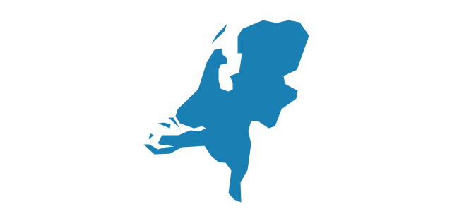
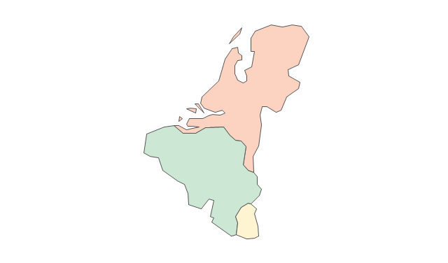
Geo Map - Europe - Netherlands
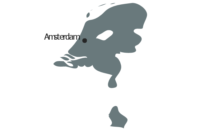
The vector stencils library Netherlands contains contours for ConceptDraw DIAGRAM diagramming and vector drawing software. This library is contained in the Continent Maps solution from Maps area of ConceptDraw Solution Park.The vector stencils library "Europe" contains 39 country contours for drawing thematic maps of Europe.
Use it in your spatial infographics for visual representation of geospatial information, statistics and quantitative data in the ConceptDraw PRO diagramming and vector drawing software extended with the Spatial Infographics solution from the area "What is Infographics" of ConceptDraw Solution Park.
Use it in your spatial infographics for visual representation of geospatial information, statistics and quantitative data in the ConceptDraw PRO diagramming and vector drawing software extended with the Spatial Infographics solution from the area "What is Infographics" of ConceptDraw Solution Park.
Geo Map - South America - Dominican Republic
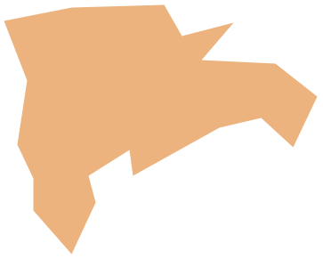
The Dominican Republic is a nation on the island of Hispaniola, part of the Greater Antilles archipelago in the Caribbean region. The vector stencils library Dominican Republic contains contours for ConceptDraw DIAGRAM diagramming and vector drawing software. This library is contained in the Continent Maps solution from Maps area of ConceptDraw Solution Park.Geo Map — USA — Georgia
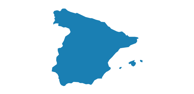
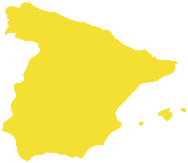
Georgia is a state located in the southeastern United States. The vector stencils library Georgia contains contours for ConceptDraw DIAGRAM diagramming and vector drawing software. This library is contained in the Continent Maps solution from Maps area of ConceptDraw Solution Park.Geo Map — Europe — Spain
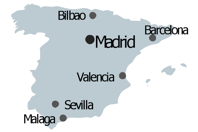
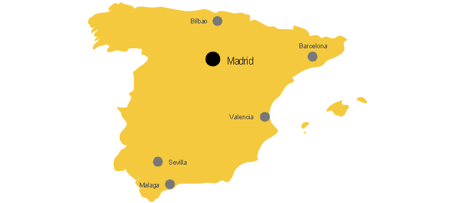
The vector stencils library Spain contains contours for ConceptDraw DIAGRAM diagramming and vector drawing software. This library is contained in the Continent Maps solution from Maps area of ConceptDraw Solution Park.Geo Map — Europe
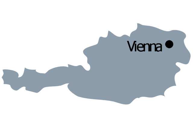
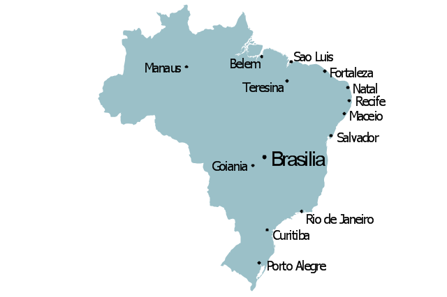
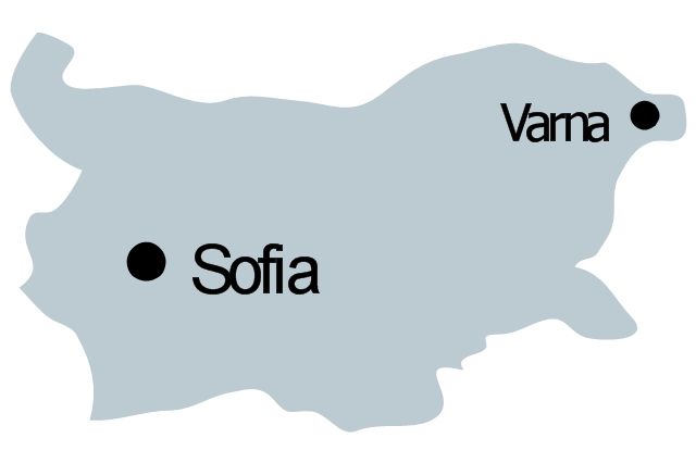
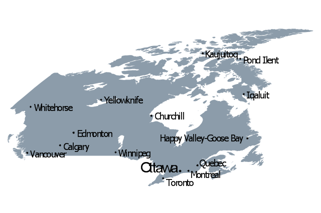
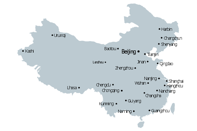
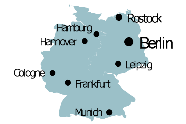
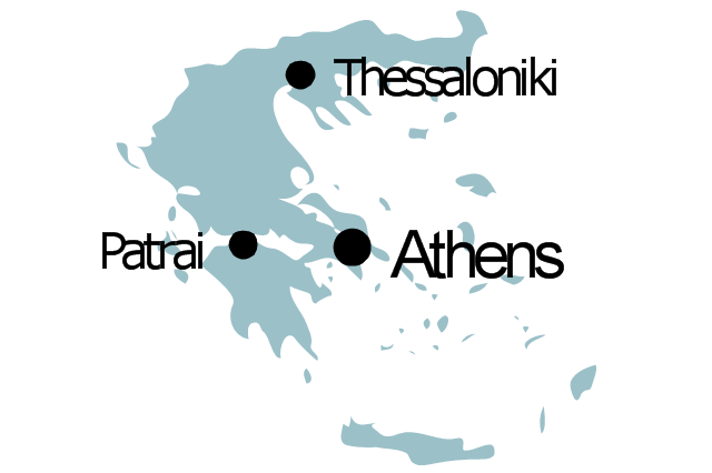
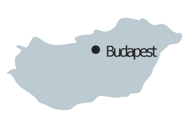
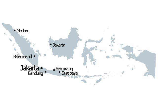
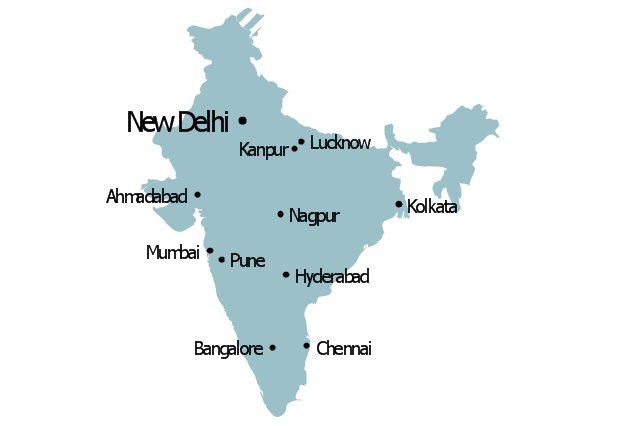
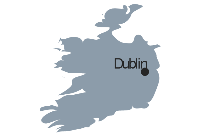
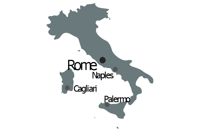
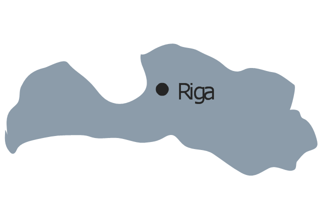
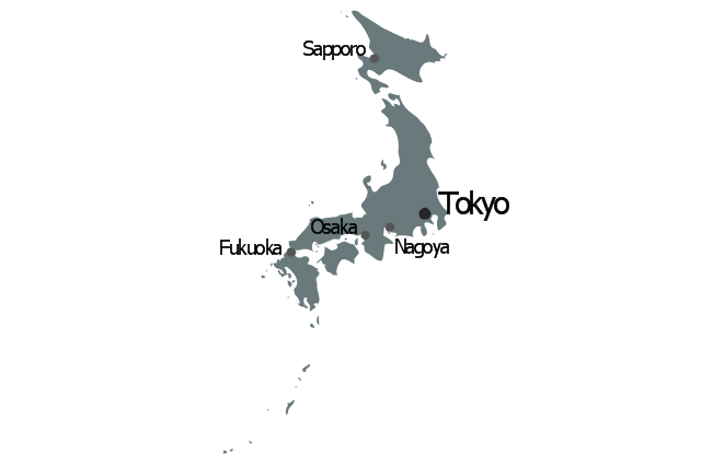
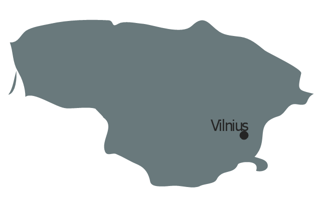
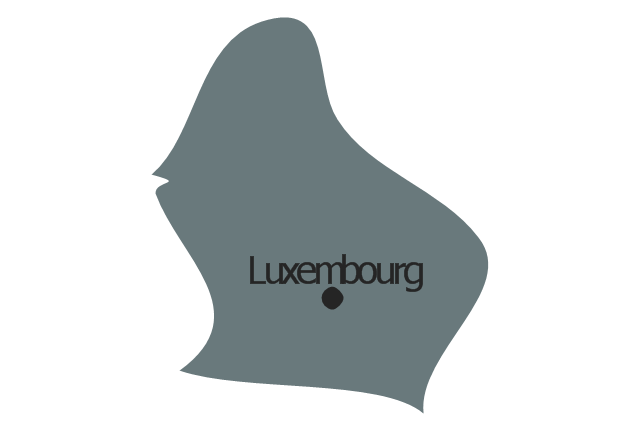
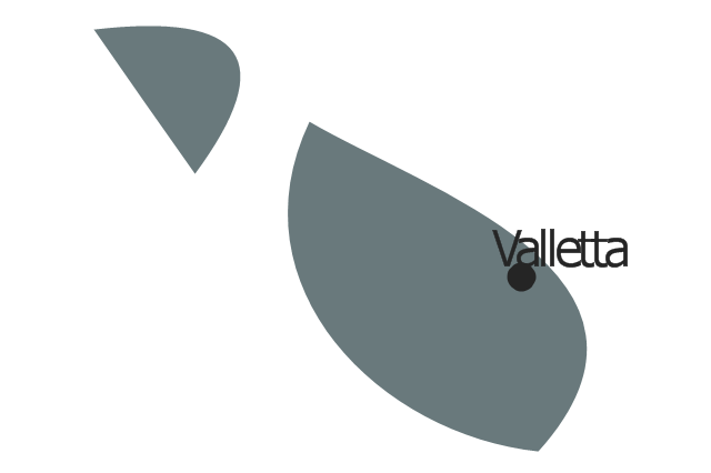
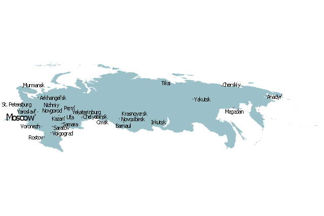
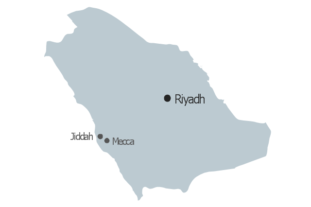
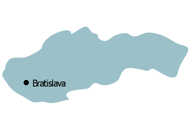
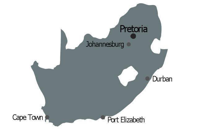
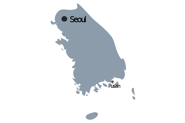
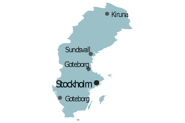
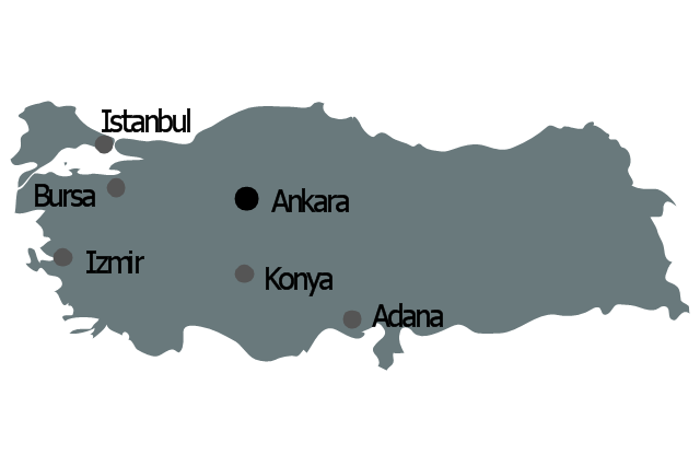
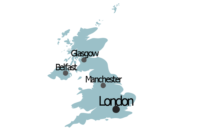
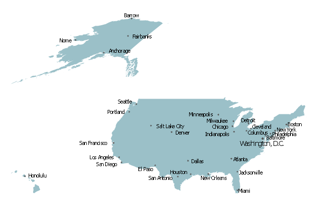
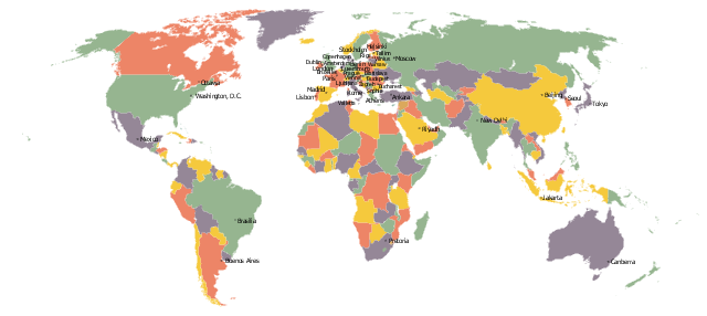
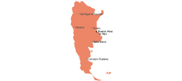
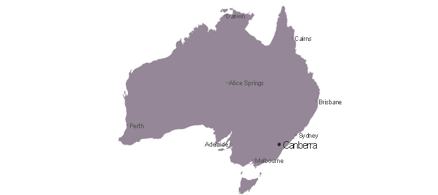
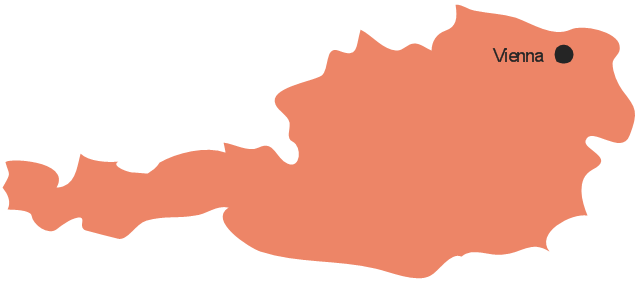
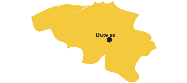
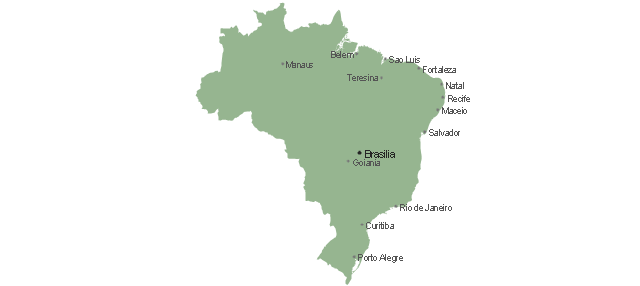
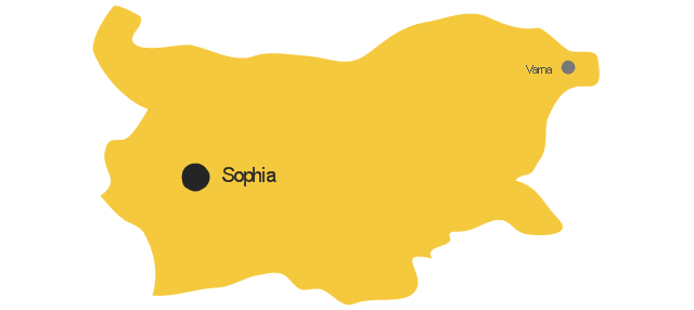
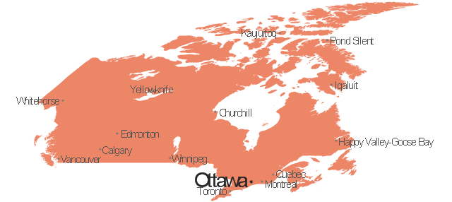
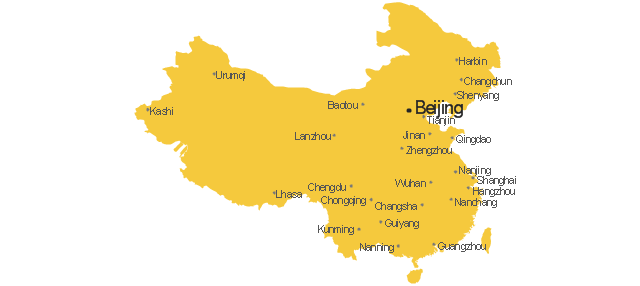
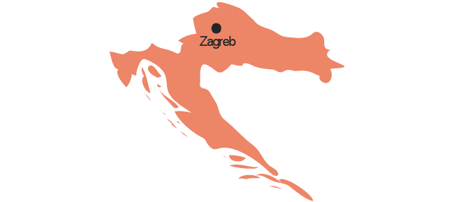
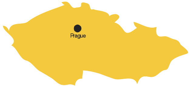
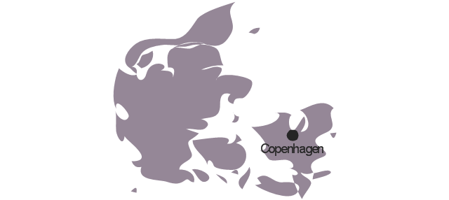
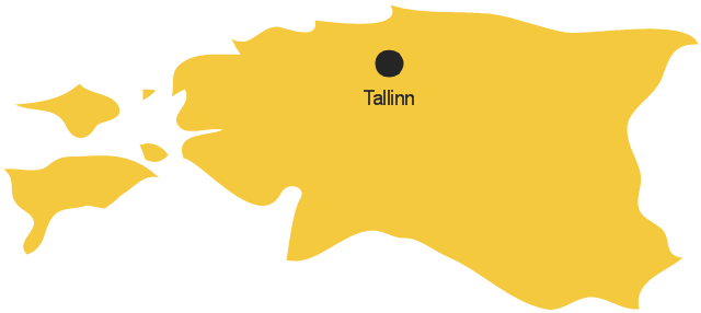
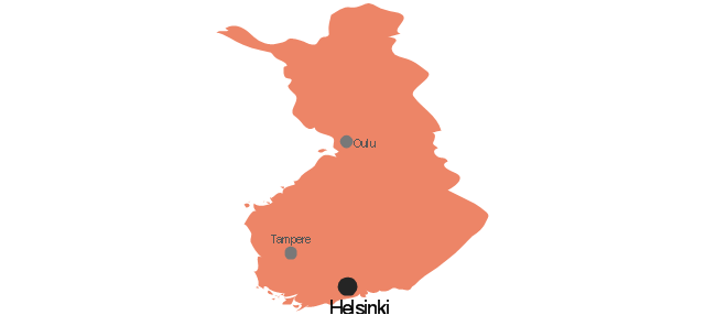
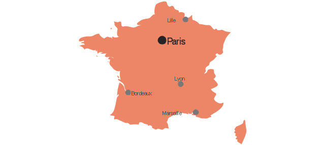
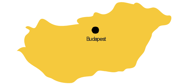
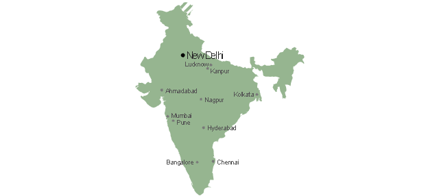
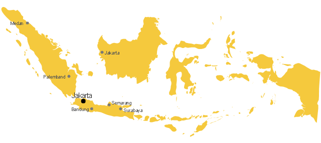
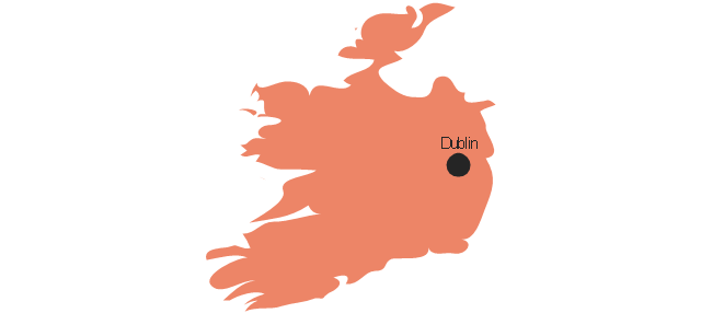
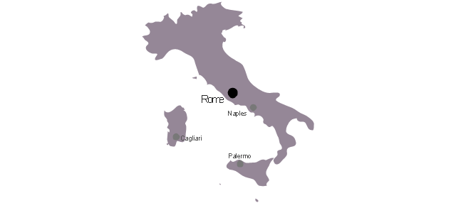
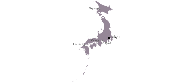
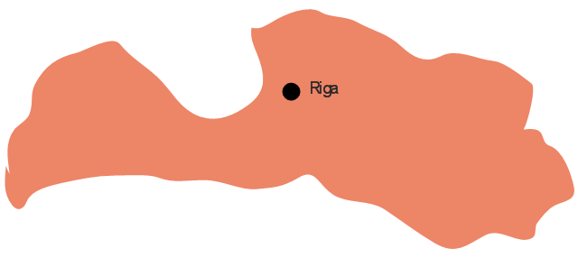
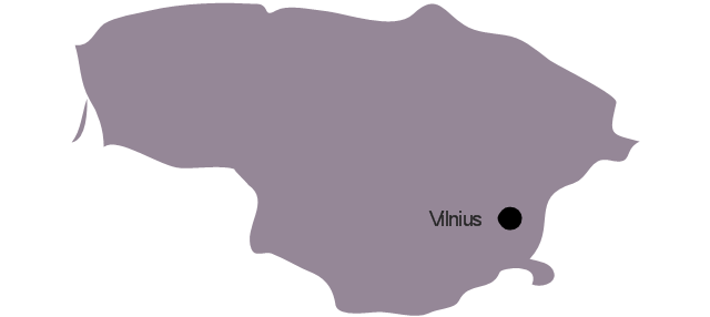
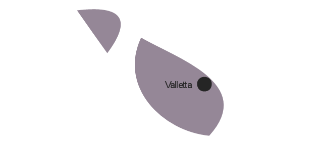
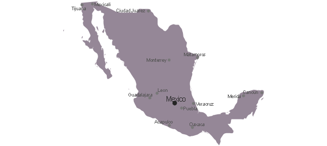
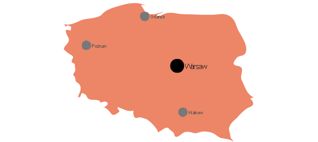
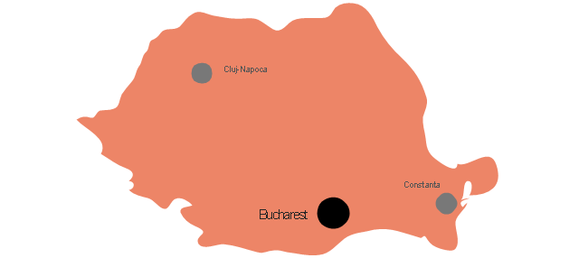
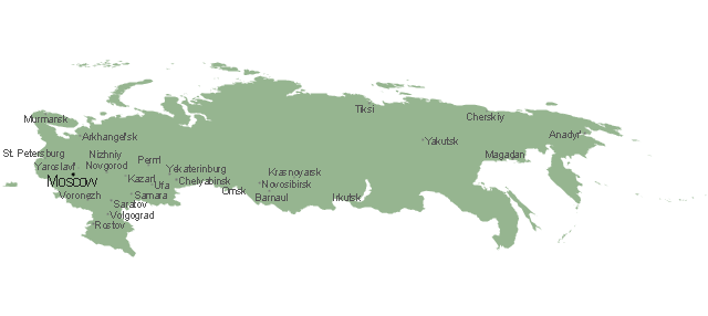
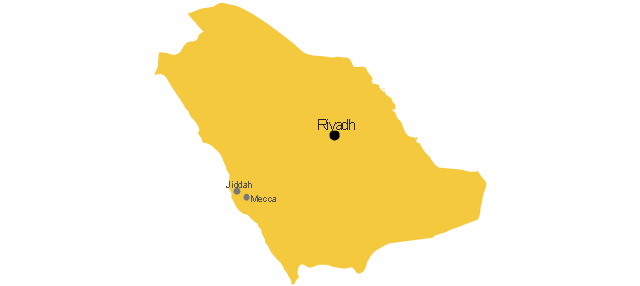
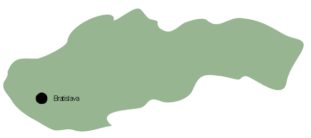
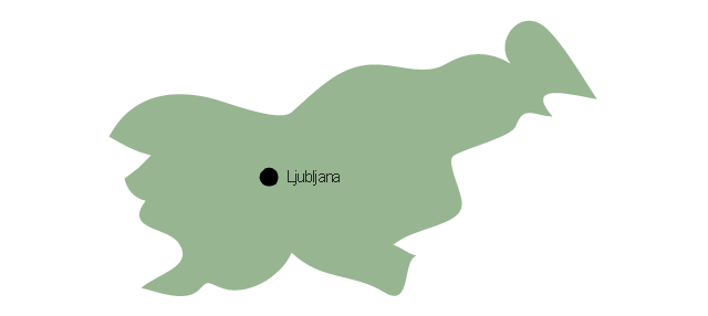
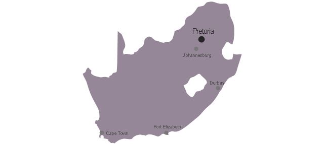
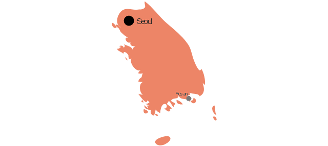
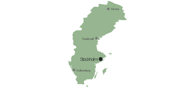
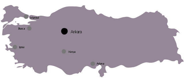
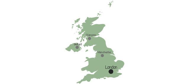
Europe is a continent that comprises the westernmost part of Eurasia. ConceptDraw DIAGRAM is idea to draw the geological maps of Europe from the pre-designed vector geo map shapes. Use it to draw thematic maps, geospatial infographics and vector illustrations for your business documents, presentations and websites.The vector stencils library "Education maps" contains 44 state map contours with capitals and major cities: G-20 state maps, EU state maps and world map.
Use it to visualize geospatial information in your education infograms.
"The European Union (EU) is a politico-economic union of 28 member states that are primarily located in Europe: Austria, Belgium, Bulgaria, Croatia, Cyprus, Czech Republic, Denmark, Estonia, Finland, France, Germany, Greece, Hungary, Ireland, Italy, Latvia, Lithuania, Luxembourg, Malta, Netherlands, Poland, Portugal, Romania, Slovakia, Slovenia, Spain, Sweden, United Kingdom." [European Union. Wikipedia]
The European Union map contours example "Design elements - Education maps (EU)" was created using the ConceptDraw PRO diagramming and vector drawing software extended with the Education Infographics solition from the area "Business Infographics" in ConceptDraw Solution Park.
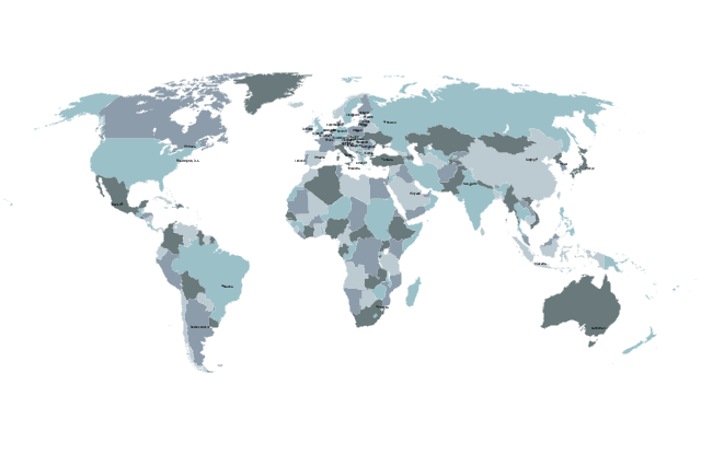
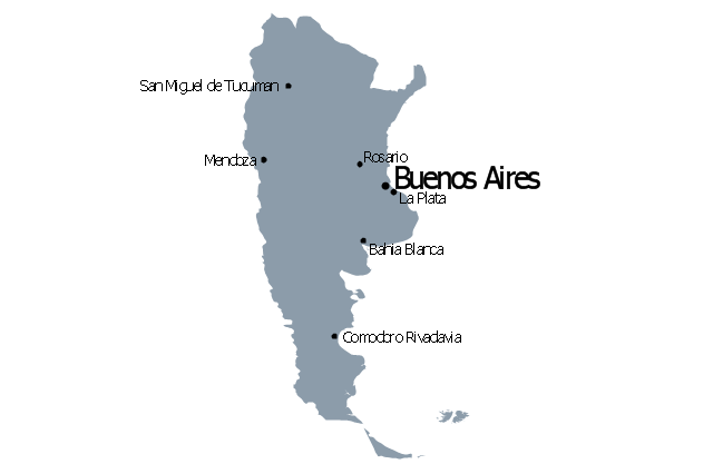
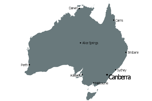
The vector stencils library "Management maps" contains 44 map contours: G-20 state maps, EU state maps and world map.
Use it to create your management infogram in the ConceptDraw PRO diagramming and vector drawing software.
The state map contours example "Management maps - Vector stencils library" is included in the solution "Marketing infographics" from the "Business infographics" area of ConceptDraw Solution Park.
"Alphabetical list of subregions in the United Nations geoscheme for Europe.
Eastern Europe: Belarus, Bulgaria, Czech Republic, Hungary, Moldova, Poland, Romania, Russia, Slovakia, Ukraine.
Northern Europe: Åland Islands, Denmark, Estonia, Faroe Islands, Finland, Guernsey, Iceland, Ireland, Isle of Man, Jersey, Latvia, Lithuania, Norway, Svalbard and Jan Mayen, Sweden, United Kingdom.
Southern Europe: Albania, Andorra, Bosnia and Herzegovina, Croatia, Gibraltar, Greece, Italy, Malta, Montenegro, Portugal, Macedonia, San Marino, Serbia, Slovenia, Spain, Vatican City.
Western Europe: Austria, Belgium, France, Germany, Liechtenstein, Luxembourg, Monaco, Netherlands, Switzerland." [United Nations geoscheme for Europe. Wikipedia]
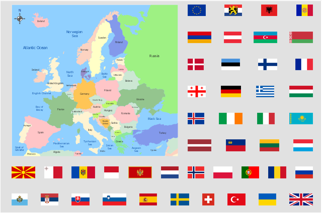
The example "Political map of Europe" illustrated with European state flags was created using the ConceptDraw PRO diagramming and vector drawing software extended with the Continent Maps solution from the Maps area of ConceptDraw Solution Park.
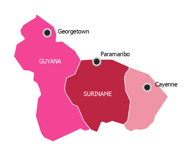
"The Guianas, sometimes called by the Spanish loan-word Guayanas (Las Guayanas) refers to a region in north-eastern South America which includes the following three territories:
(1) French Guiana, an overseas department of France,
(2) Guyana, known as British Guiana from 1831 until 1966, after the colonies of Berbice, Essequibo, and Demerara, taken from the Netherlands in 1814, were merged into a single colony,
(3) Suriname, until 1814 a part of Dutch Guiana, together with Berbice, Essequibo and Demerara." [The Guianas. Wikipedia]
This political map sample was redesigned from the Wikimedia Commons file: Map of South America (Guiana).png.
[commons.wikimedia.org/ wiki/ File:Map_ of_ South_ America_ (Guiana).png]
This file is licensed under the Creative Commons Attribution-Share Alike 3.0 Unported license. [creativecommons.org/ licenses/ by-sa/ 3.0/ deed.en]
The political map example "Map of South America - The Guianas" was created using the ConceptDraw PRO diagramming and vector drawing software extended with the Continent Maps solution from the Maps area of ConceptDraw Solution Park.
The vector stencils library "Education maps" contains 44 map contours: G-20 state maps, EU state maps and world map.
Use it to visualize geospatial information in your education infograms.
The vector stencils library "Education maps" is included in the Education Infographics solution from the Business Infographics area of ConceptDraw Solution Park.
Use it to visualize geospatial information in your education infograms.
The vector stencils library "Education maps" is included in the Education Infographics solution from the Business Infographics area of ConceptDraw Solution Park.
Geo Map - Europe - Switzerland
The vector stencils library Switzerland contains contours for ConceptDraw DIAGRAM diagramming and vector drawing software. This library is contained in the Continent Maps solution from Maps area of ConceptDraw Solution Park.Germany Map
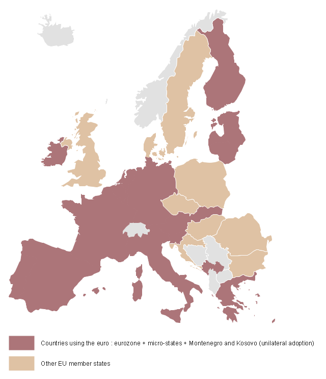
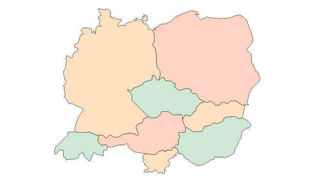
Germany is in Western and Central Europe, with Denmark bordering to the north, Poland and the Czech Republic to the east, Austria to the southeast, Switzerland to the south-southwest, France, Luxembourg and Belgium lie to the west, and the Netherlands to the northwest. ConceptDraw DIAGRAM diagramming and vector drawing software enhanced with Germany Map Solution from the Maps Area of ConceptDraw Solution Park is the best for drawing geographic Germany map, topography, political, and various thematic maps of Germany.This Germany political map example was created on the base of Wikimedia Commons file: BlueEurozone.svg. [commons.wikimedia.org/ wiki/ File:BlueEurozone.svg]
"The eurozone, officially called the euro area, is a monetary union of 19 of the 28 European Union (EU) member states which have adopted the euro (€) as their common currency and sole legal tender. The other nine members of the European Union continue to use their own national currencies.
The eurozone consists of Austria, Belgium, Cyprus, Estonia, Finland, France, Germany, Greece, Ireland, Italy, Latvia, Lithuania, Luxembourg, Malta, the Netherlands, Portugal, Slovakia, Slovenia, and Spain." [Eurozone. Wikipedia]
The political map example "Map of Germany in Eurozone" was designed using the ConceptDraw PRO software extended with the Map of Germany solution from the Maps area of ConceptDraw Solution Park.
Maps of Germany
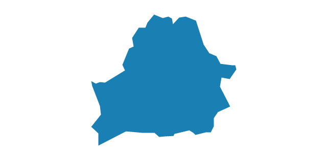
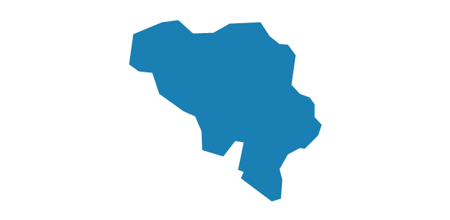
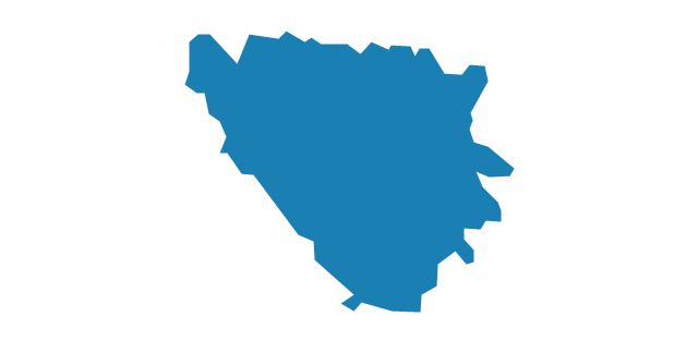
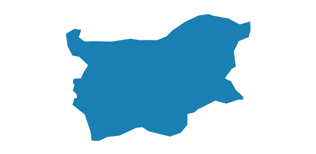
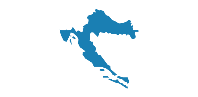
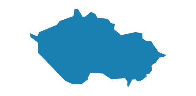
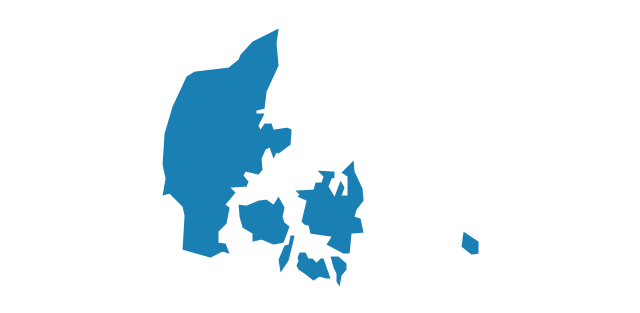
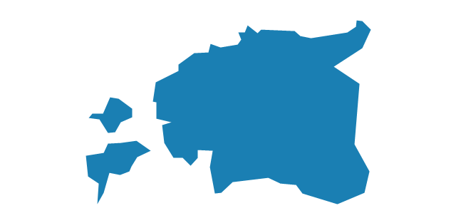
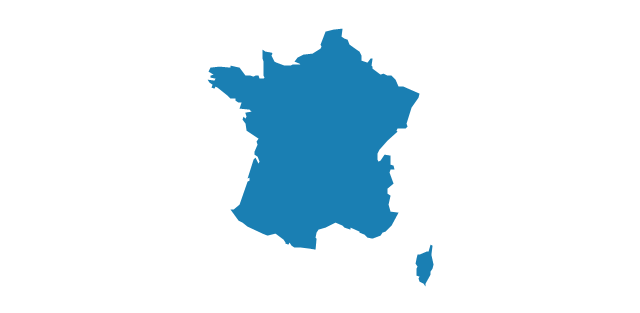
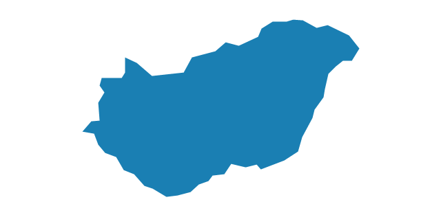
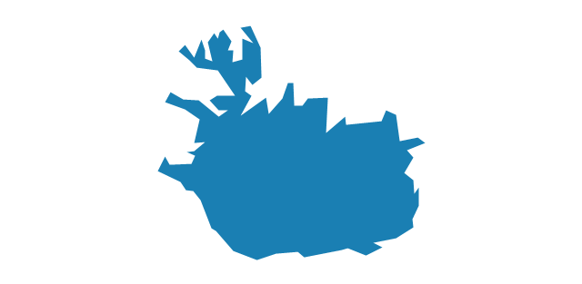
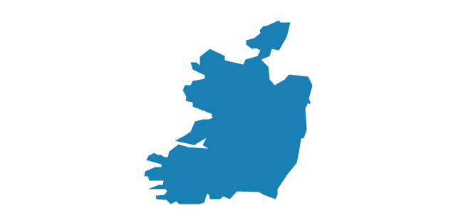
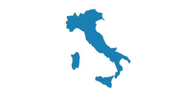
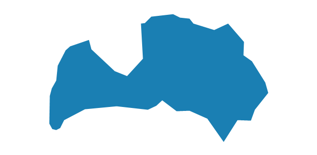
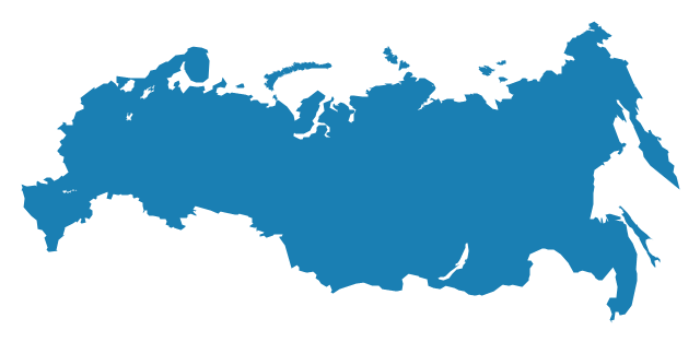
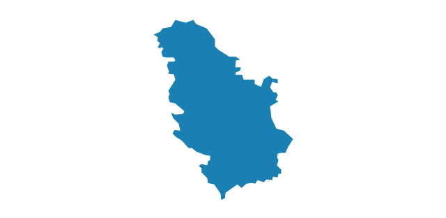
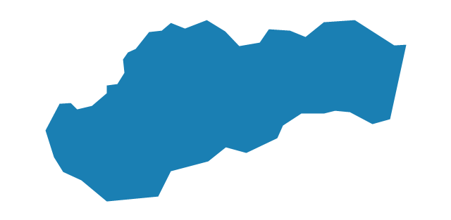
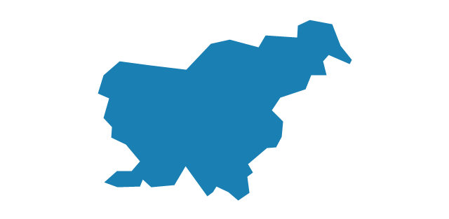
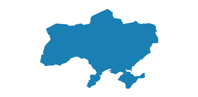
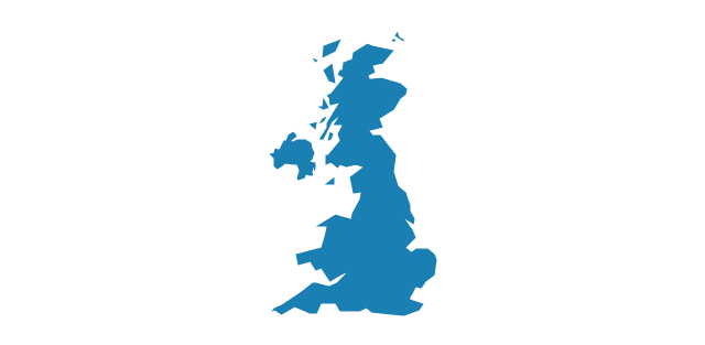
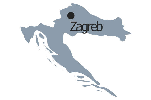
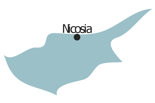
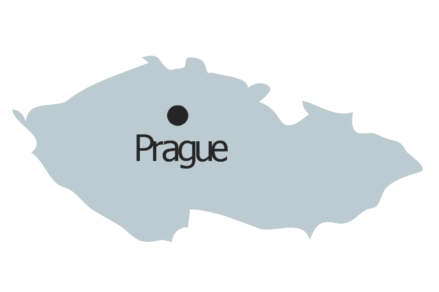
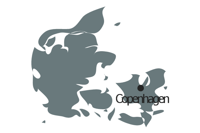
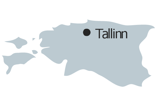
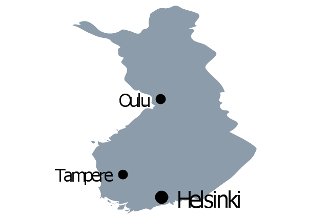
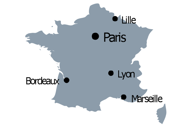
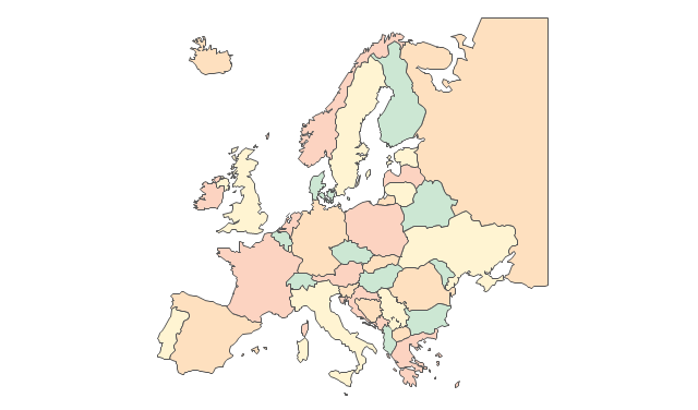
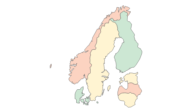
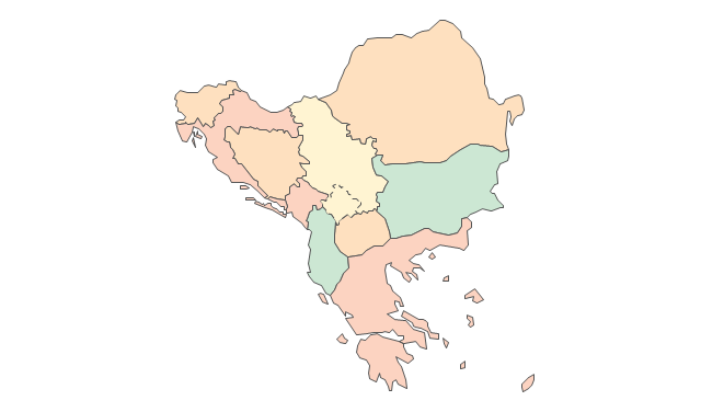
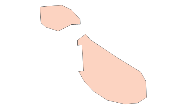
Germany is a federal parliamentary republic in West-Central Europe which consists of 16 constituent states. It is a part of Schengen area and the most populous member state in the European Union. ConceptDraw DIAGRAM diagramming and vector drawing software offers the unique Germany Map Solution from the Maps Area of ConceptDraw Solution Park, developed specially for easy drawing the maps of Germany of different levels of complexity and detailing.The vector stencils library "Europe" contains 45 state map contours for drawing thematic maps of Europe. Use it in your spatial infographics for visual representation of geospatial information, statistics and quantitative data.
"There are 50 internationally recognised sovereign states with territory located within the common definition of Europe and/ or membership in international European organisations, of which 44 have their capital city within Europe. All except the Vatican City are members of the United Nations (UN), and all except Belarus, Kazakhstan and Vatican City are members of the Council of Europe. Since 2013, 28 of these countries are also member states of the EU, which means they are highly integrated with each other and share their sovereignty with EU institutions." [List of sovereign states and dependent territories in Europe. Wikipedia]
The state map contours example "Europe - Vector stencils library" was created using the ConceptDraw PRO diagramming and vector drawing software extended with the Continent Maps solution from the Maps area of ConceptDraw Solution Park.
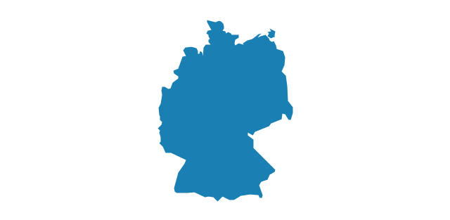
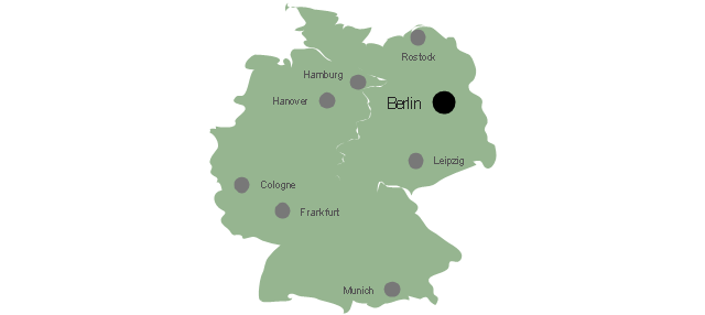
Geo Map — Europe — Germany
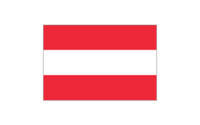
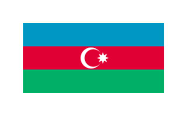
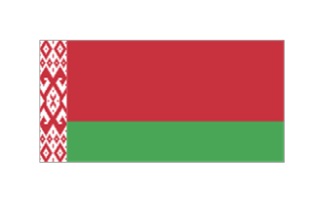
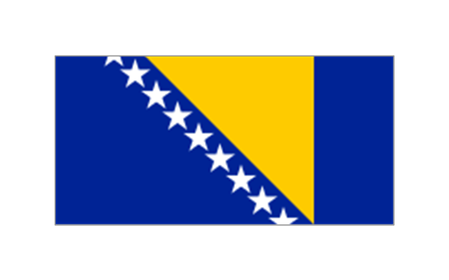
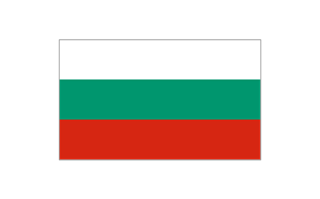
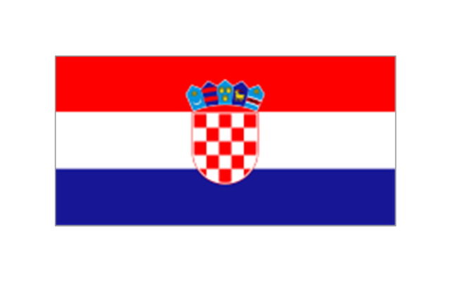
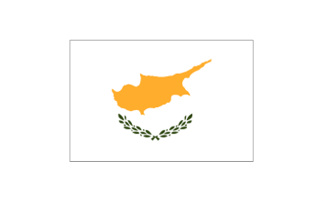
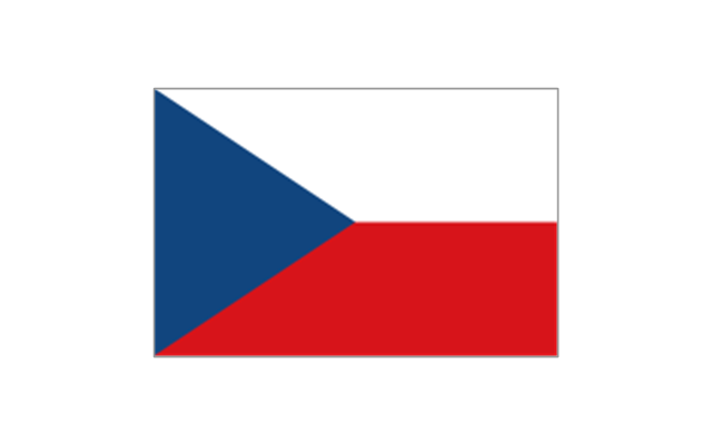
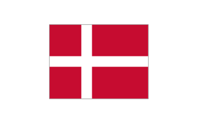
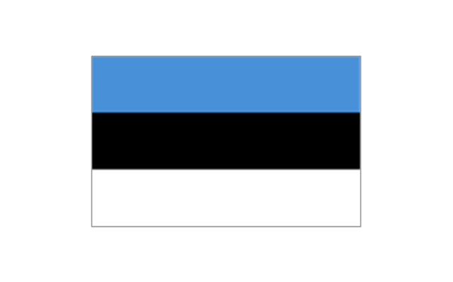
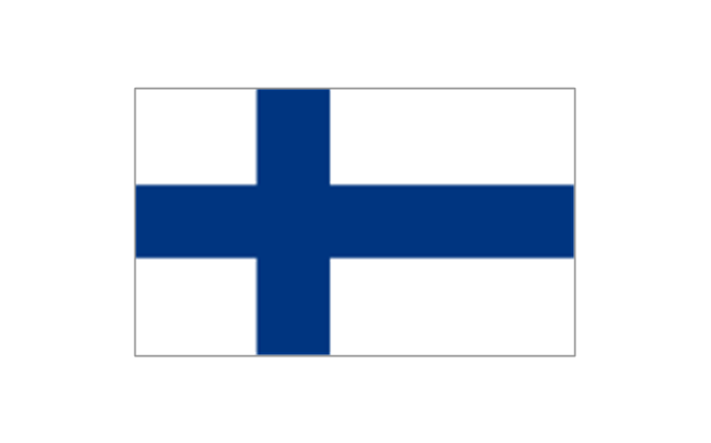
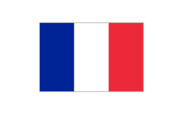
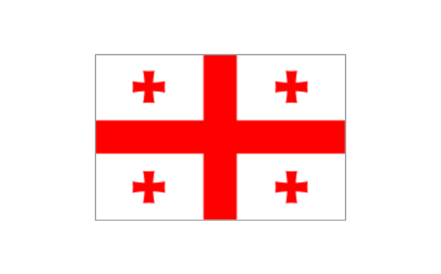
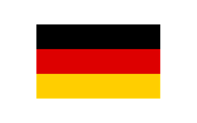
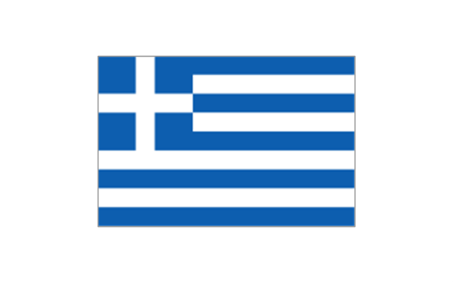
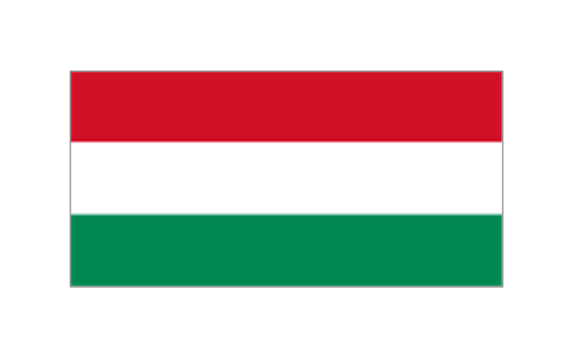
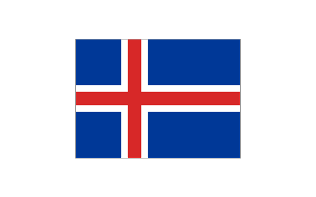
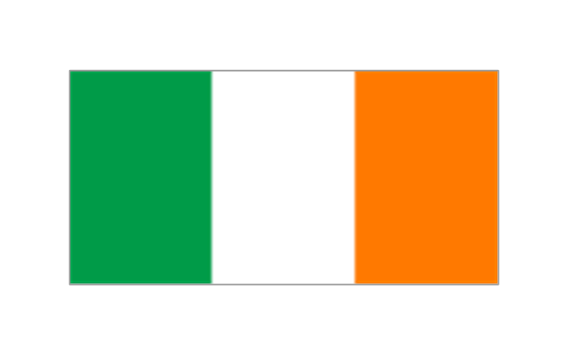
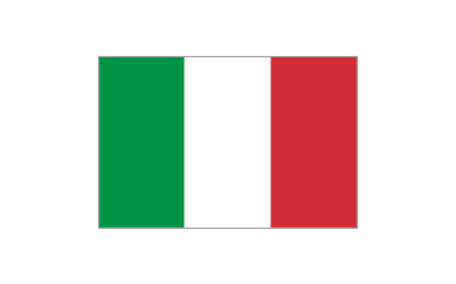
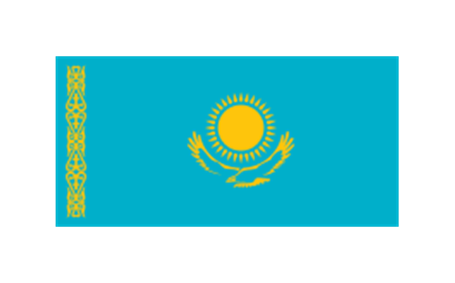
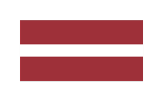
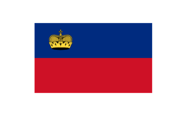
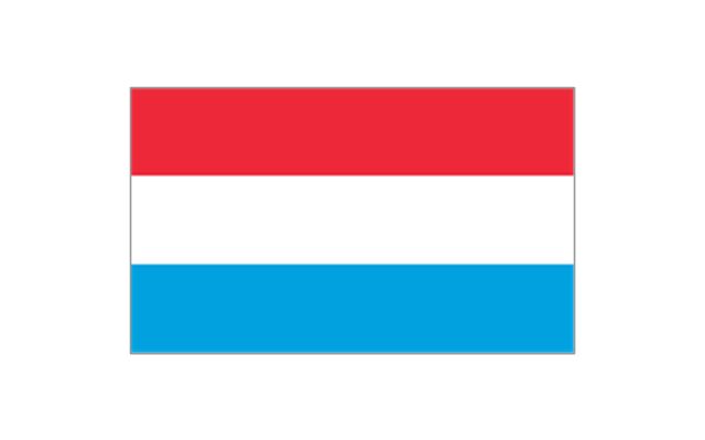
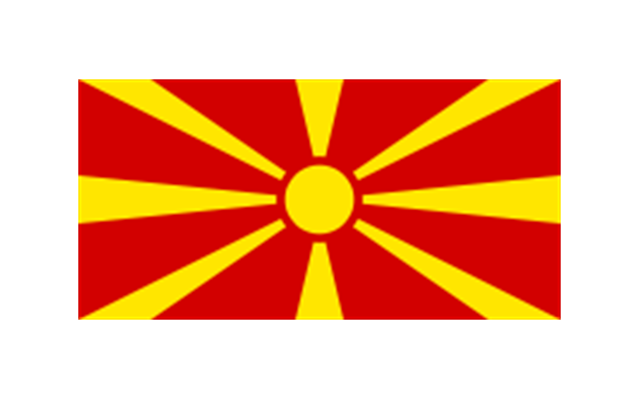
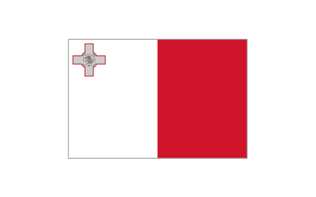
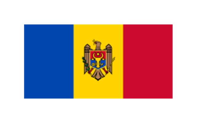
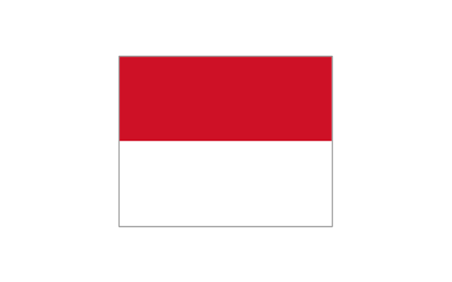
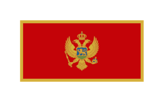
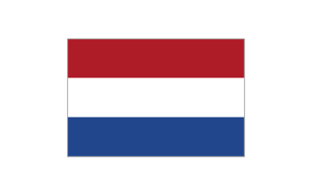
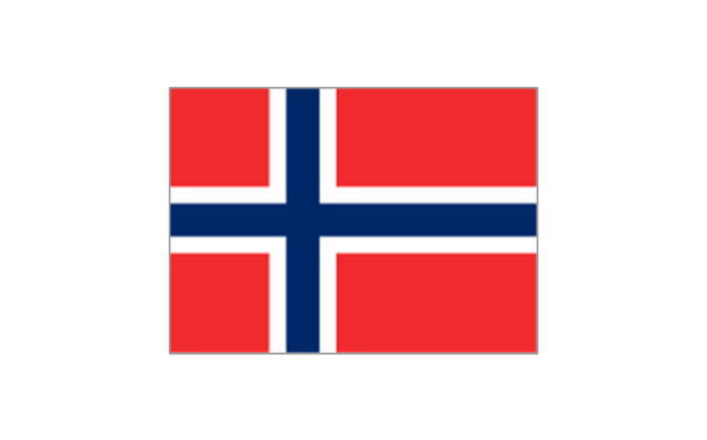
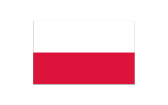
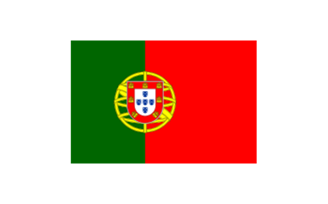
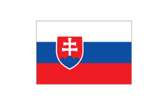
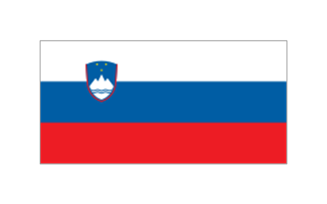
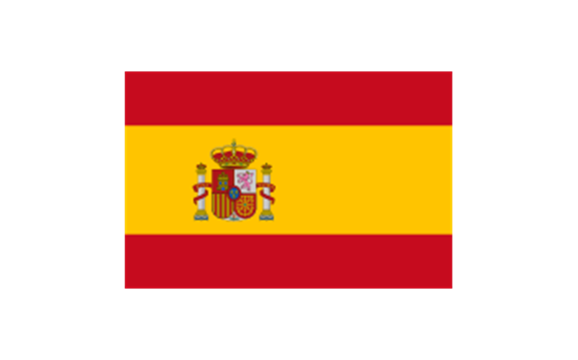
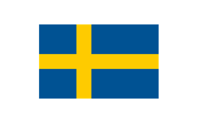
The vector stencils library Germany contains contours for ConceptDraw DIAGRAM diagramming and vector drawing software. This library is contained in the Continent Maps solution from Maps area of ConceptDraw Solution Park.The stencils library "Europe flags" contains 51 clipart images of Europe state flags: supranational and international flags, flags of European countries.
The clip art example "Europe flags - Stencils library" was created using the ConceptDraw PRO diagramming and vector drawing software extended with the Continent Maps solution from the Maps area of ConceptDraw Solution Park.
www.conceptdraw.com/ solution-park/ maps-continent
The clip art example "Europe flags - Stencils library" was created using the ConceptDraw PRO diagramming and vector drawing software extended with the Continent Maps solution from the Maps area of ConceptDraw Solution Park.
www.conceptdraw.com/ solution-park/ maps-continent
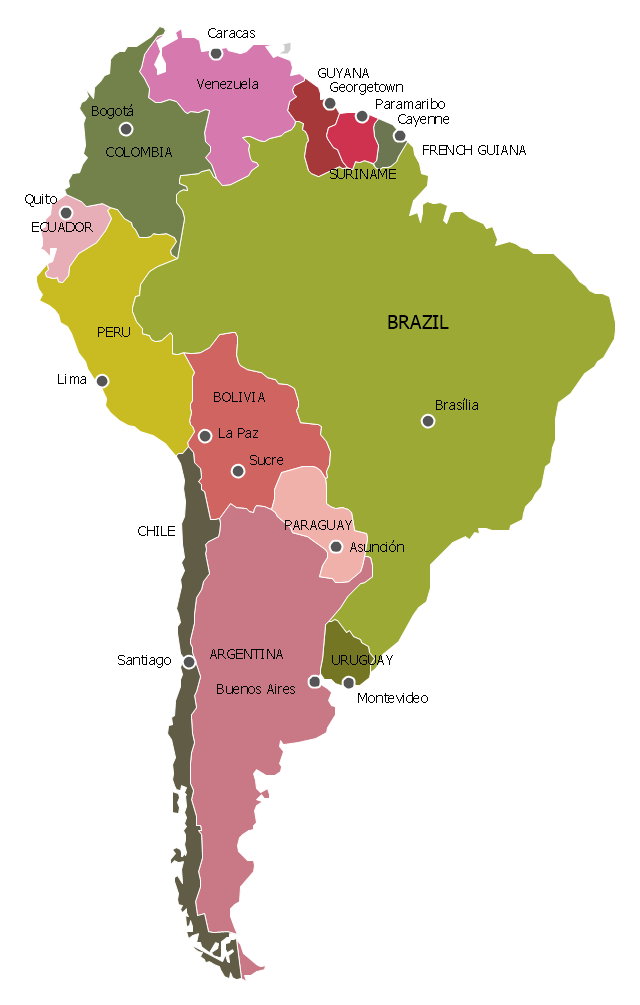
"South America is a continent located in the Western Hemisphere, mostly in the Southern Hemisphere, with a relatively small portion in the Northern Hemisphere. It can also be considered as a subcontinent of the Americas.
It is bordered on the west by the Pacific Ocean and on the north and east by the Atlantic Ocean; North America and the Caribbean Sea lie to the northwest. It includes twelve sovereign states – Argentina, Bolivia, Brazil, Chile, Colombia, Ecuador, Guyana, Paraguay, Peru, Suriname, Uruguay, and Venezuela – and two non-sovereign areas – French Guiana, an overseas department of France, and the Falkland Islands, a British Overseas Territory (though disputed by Argentina). In addition to this, the ABC islands of the Netherlands may also be considered part of South America. ... Countries and territories: Argentina, Bolivia, Brazil, Chile, Colombia, Ecuador, Falkland Islands (United Kingdom), French Guiana (France), Guyana, Paraguay, Peru, South Georgia and the South Sandwich Islands (United Kingdom), Suriname, Uruguay, Venezuela." [South America. Wikipedia]
This political map sample was redesigned from the Wikimedia Commons file: Map of South America.svg. [commons.wikimedia.org/ wiki/ File:Map_ of_ South_ America.svg]
This file is licensed under the Creative Commons Attribution-Share Alike 3.0 Unported license. [creativecommons.org/ licenses/ by-sa/ 3.0/ deed.en]
The example "South America - Political map" was created using the ConceptDraw PRO diagramming and vector drawing software extended with the Continent Maps solution from the Maps area of ConceptDraw Solution Park.
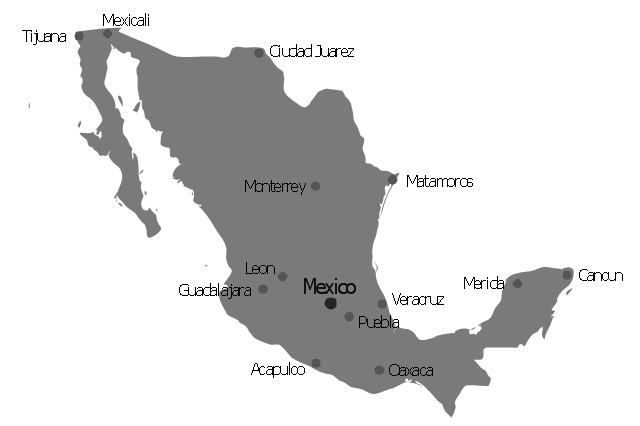
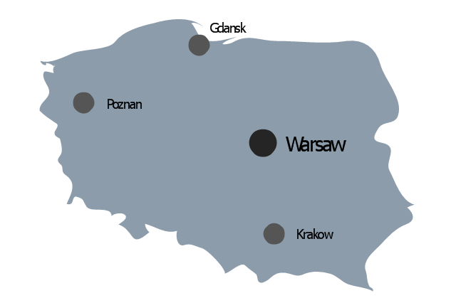
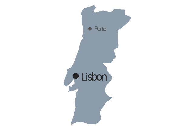
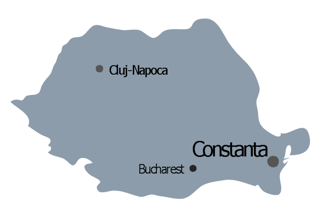
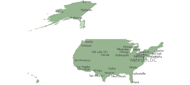
The vector stencils library "Management maps" contains 44 state map contours with capitals and major cities: G-20 state maps, EU state maps and world map.
Use it to visualize geospatial information in your education infograms.
"The European Union (EU) is a politico-economic union of 28 member states that are primarily located in Europe: Austria, Belgium, Bulgaria, Croatia, Cyprus, Czech Republic, Denmark, Estonia, Finland, France, Germany, Greece, Hungary, Ireland, Italy, Latvia, Lithuania, Luxembourg, Malta, Netherlands, Poland, Portugal, Romania, Slovakia, Slovenia, Spain, Sweden, United Kingdom." [European Union. Wikipedia]
The European Union map contours example "Design elements - Management maps (EU)" was created using the ConceptDraw PRO diagramming and vector drawing software extended with the Management Infographics solition from the area "Business Infographics" in ConceptDraw Solution Park.
- Geo Map - Europe - Netherlands | Geo Map - Europe - Czech ...
- Europe - Vector stencils library | Netherland And Ireland Map
- Germany | Geo Map - Europe - Poland | Amsterdam Netherlands ...
- Geo Map - Europe - Netherlands
- Geo Map - Europe - Netherlands | Geo Map - South America ...
- Geo Map - Europe - Netherlands | Flags - Stencils library | European ...
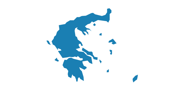
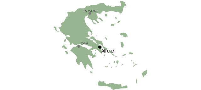
- Geo Map — Europe — Greece
- Europe - Norway | How To Draw Greece Map
- Geo Map - Europe - Netherlands | Geo Map - Europe - Germany ...
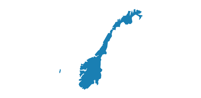
- Geo Map - Europe - Norway















.png--diagram-flowchart-example.png)













-europe---vector-stencils-library.png--diagram-flowchart-example.png)






.png--diagram-flowchart-example.png)