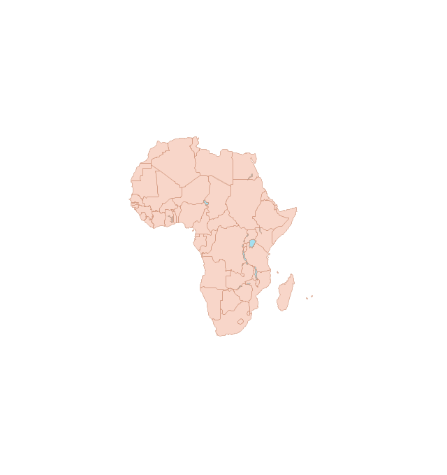
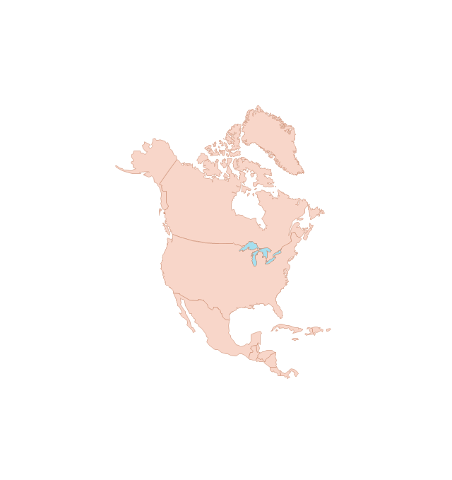
The vector stencils library "Global networks" contains 63 computer and telecommunication icon symbols for drawing the global vehicular network diagrams.
"Satellite Internet access is Internet access provided through communications satellites. Modern satellite Internet service is typically provided to users through geostationary satellites that can offer high data speeds, with newer satellites achieving downstream data speeds up to 15 Mbps. ...
Satellite Internet generally relies on three primary components: a satellite in geostationary orbit (sometimes referred to as a geosynchronous Earth orbit, or GEO), a number of ground stations known as gateways that relay Internet data to and from the satellite via radio waves (microwave), and a VSAT (very-small-aperture terminal) dish antenna with a transceiver, located at the subscriber's premises. Other components of a satellite Internet system include a modem at the user end which links the user's network with the transceiver, and a centralized network operations center (NOC) for monitoring the entire system. Working in concert with a broadband gateway, the satellite operates a Star network topology where all network communication passes through the network's hub processor, which is at the center of the star. With this configuration, the number of remote VSATs that can be connected to the hub is virtually limitless." [Satellite Internet access. Wikipedia]
The clip art example "Global networks - Vector stencils library" was created using the ConceptDraw PRO diagramming and vector drawing software extended with the Vehicular Networking solution from the Computer and Networks area of ConceptDraw Solution Park.
www.conceptdraw.com/ solution-park/ vehicular-networking
Network Glossary Definition
The network glossary contains a complete list of network, computer-related and technical terms in alphabetic order, explanations and definitions for them, among them there are words well known for you and also specific, rare-used, uncommon or newly introduced terms. This specialized glossary, also known as a vocabulary, is the best in its field and covers in details the various aspects of computer network technologies. This glossary was developed by specialists using the practical experience and many useful sources to help the ConceptDraw users in their work, you can read and learn it from the screen on-line or print, it can be also used as a perfect educational guide or tutorial. ConceptDraw DIAGRAM software extended with Computer and Networks solution is easy to draw various types of Network diagrams, Network topology diagrams, Computer networking schematics, Network maps, Cisco network topology, Computer network architecture, Wireless networks, Vehicular networks, Rack diagrams, Logical, Physical, Cable networks, etc. Desktop ConceptDraw DIAGRAM Software is a good Visio for Mac Os X replacement. It gives you rich productivity and quality of the produced diagrams.
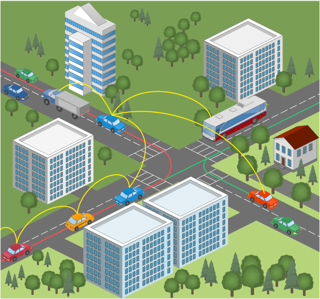
This vehicular network diagram sample was drawn on the base of picture illustrating the post "Intelligent transportation system" from the blog "Technology New Here".
"Intelligent transportation systems are projects that aim to integrate modern communication and information technology into existing transportation management systems in order to optimize vehicle life, fuel efficiency, safety, and traffic in urbanized cities.
The need for intelligent transportation systems stems from the fact that traffic congestion has been increasing all around the world because of increasing population, increasing amount of transportation vehicles and increasing urbanization."
[technologynewhere.wordpress.com/ 2010/ 05/ 12/ intelligent-transportation-system/ ]
The vehicular network diagram example "Intelligent transportation system" was created using the ConceptDraw PRO diagramming and vector drawing software extended with the Vehicular Networking solution from the Computer and Networks area of ConceptDraw Solution Park.
Used Solutions
- Mesh Network Topology Diagram | Fully Connected Network ...
- Local area network (LAN). Computer and Network Examples ...
- How To use Switches in Network Diagram | Computer network ...
- Wireless access point - Network diagram | Roaming wireless local ...
- Ethernet local area network layout floor plan | Ethernet network ...
- Using Both Wired and Wireless Connections | Fully Connected ...
- Diagram Of City Traffic
- Intelligent transportation system | Software Defined Networking ...
- Computer network - Vector stencils library | Network hardware ...
- Hybrid Network Topology | Star Network Topology | Fully Connected ...
- Diagrams For Pictures On City Traffic
- Process Flowchart | Local area network (LAN). Computer and ...
- Wireless access point - Network diagram
- Hotel Network Topology Diagram. Hotel Guesthouse WiFi Network ...
- Intelligent transportation system | Vehicular Networking | Automatic ...
- Global networks - Vector stencils library | Vehicular Networking ...
- Independent regional networks diagram | Inter-vehicle ...
- Network Layout Floor Plans | Network Layout | Computer Network ...
- Physical LAN topology diagram | Home wireless network diagram ...
- Airplane seat plan | Global networks - Vector stencils library | Aircraft ...


-global-networks---vector-stencils-library.png--diagram-flowchart-example.png)
-global-networks---vector-stencils-library.png--diagram-flowchart-example.png)


-global-networks---vector-stencils-library.png--diagram-flowchart-example.png)
-global-networks---vector-stencils-library.png--diagram-flowchart-example.png)


-global-networks---vector-stencils-library.png--diagram-flowchart-example.png)
-global-networks---vector-stencils-library.png--diagram-flowchart-example.png)
-global-networks---vector-stencils-library.png--diagram-flowchart-example.png)
-global-networks---vector-stencils-library.png--diagram-flowchart-example.png)

-global-networks---vector-stencils-library.png--diagram-flowchart-example.png)


