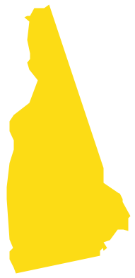
Geo Map - USA - New Hampshire
New Hampshire is a state in the New England region of the northeastern United States of America. The state was named after the southern English county of Hampshire. The vector stencils library New Hampshire contains contours for ConceptDraw DIAGRAM diagramming and vector drawing software. This library is contained in the Continent Maps solution from Maps area of ConceptDraw Solution Park.Geo Map - USA - North Dakota
North Dakota is the 39th state of the United States, having been admitted to the union on November 2, 1889. The vector stencils library North Dakota contains contours for ConceptDraw DIAGRAM diagramming and vector drawing software. This library is contained in the Continent Maps solution from Maps area of ConceptDraw Solution Park.Geo Map - USA - Illinois
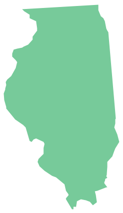
Illinois is a state in the Midwestern United States. It is the 5th most populous and 25th most extensive state, and is often noted as a microcosm of the entire country. The vector stencils library Illinois contains contours for ConceptDraw DIAGRAM diagramming and vector drawing software. This library is contained in the Continent Maps solution from Maps area of ConceptDraw Solution Park.Geo Map - USA - Minnesota
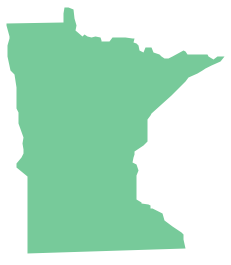
Minnesota is a U.S. state in the Midwestern United States. The vector stencils library Minnesota contains contours for ConceptDraw DIAGRAM diagramming and vector drawing software. This library is contained in the Continent Maps solution from Maps area of ConceptDraw Solution Park.Geo Map — USA — Virginia
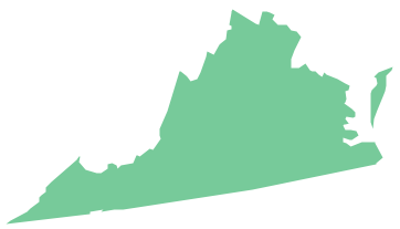
Virginia, officially the Commonwealth of Virginia, is a U.S. state located in the South Atlantic region of the United States. The vector stencils library Virginia contains contours for ConceptDraw DIAGRAM diagramming and vector drawing software. This library is contained in the Continent Maps solution from Maps area of ConceptDraw Solution Park.Geo Map - USA - Connecticut
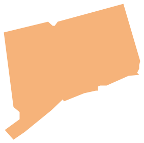
Connecticut is the southernmost state in the northeastern region of the United States known as New England. The vector stencils library Connecticut contains contours for ConceptDraw DIAGRAM diagramming and vector drawing software. This library is contained in the Continent Maps solution from Maps area of ConceptDraw Solution Park.Geo Map - USA - Maine
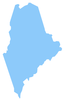
Maine is a state in the New England region of the northeastern United States, bordered by the Atlantic Ocean to the east and south; New Hampshire to the west; the Canadian provinces of Quebec to the northwest; and New Brunswick to the northeast. The vector stencils library Maine contains contours for ConceptDraw DIAGRAM diagramming and vector drawing software. This library is contained in the Continent Maps solution from Maps area of ConceptDraw Solution Park.Geo Map - USA - Massachusetts
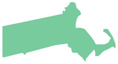
Massachusetts, officially the Commonwealth of Massachusetts, is a state in the New England region of the northeastern United States. The vector stencils library Massachusetts contains contours for ConceptDraw DIAGRAM diagramming and vector drawing software. This library is contained in the Continent Maps solution from Maps area of ConceptDraw Solution Park.Geo Map - USA - Tennesse
Tennessee is a U.S. state located in the Southeastern United States. The vector stencils library Tennesse contains contours for ConceptDraw DIAGRAM diagramming and vector drawing software. This library is contained in the Continent Maps solution from Maps area of ConceptDraw Solution Park.Geo Map - USA - New York
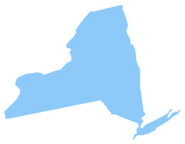
New York is a state in the Northeastern and Mid-Atlantic regions of the United States. The vector stencils library New York contains contours for ConceptDraw DIAGRAM diagramming and vector drawing software. This library is contained in the Continent Maps solution from Maps area of ConceptDraw Solution Park.- Alberta Canada Map Clip Art
- Virginia Clip Art
- North and Central America flags - Stencils library | Design elements ...
- Geography - Vector stencils library | Water cycle diagram | Flat ...
- North Carolina Vector Art
- North and Central America flags - Stencils library | Design elements ...
- Alberta Canada Map New Brunswick
- How to Draw a Natural Landscape | How can you illustrate the ...
- Geo Map - USA - California
- Global networks - Vector stencils library | Middle East - Political map ...
