Geo Map - Australia
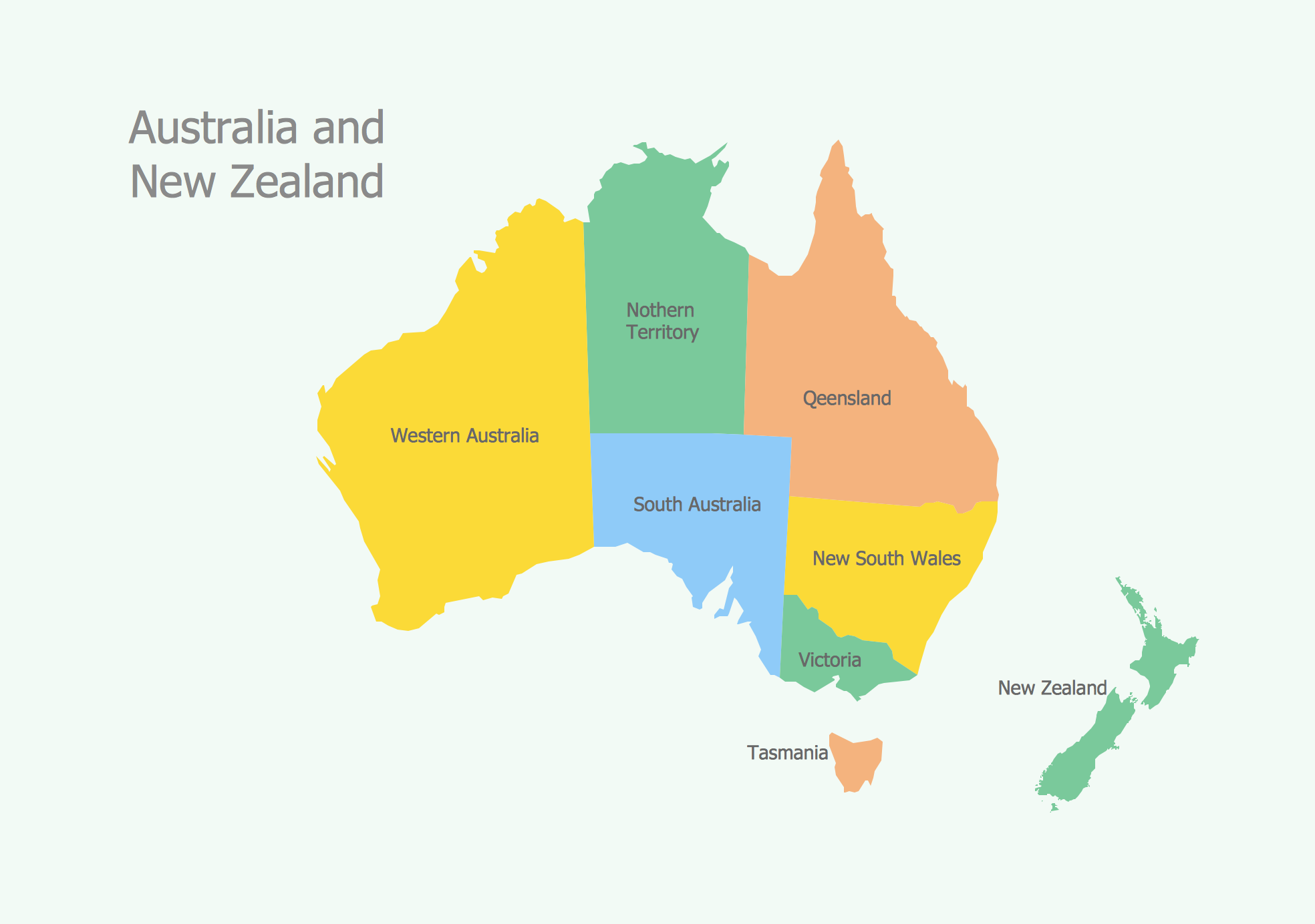
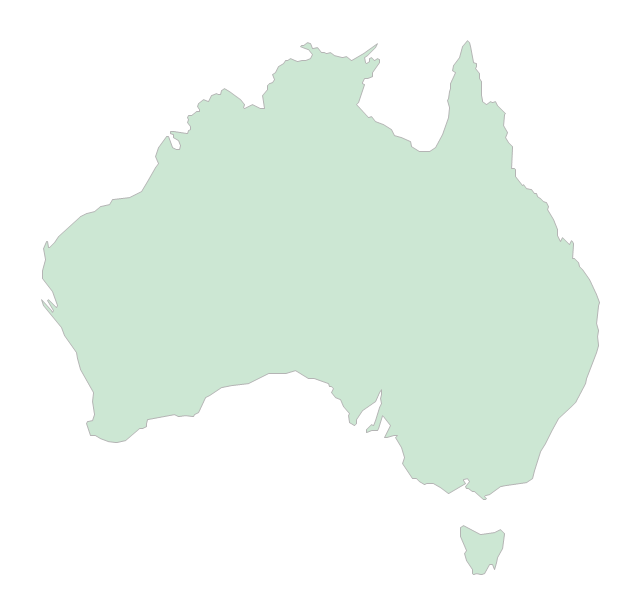
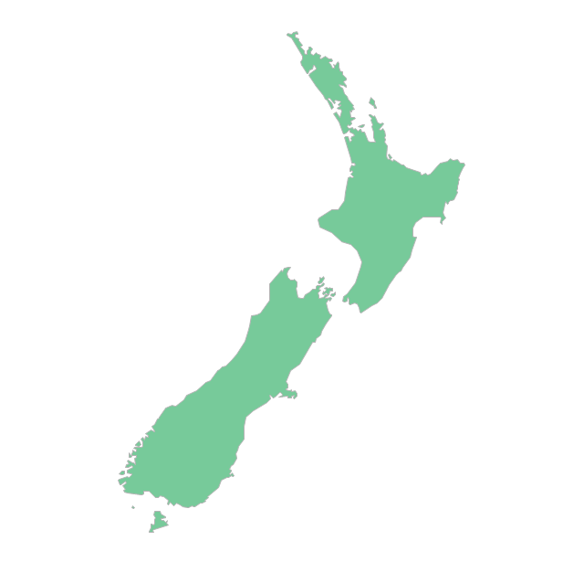
The vector stencils library Australia contains contours of New Zealand and Australian states and mainland territories for ConceptDraw PRO diagramming and vector drawing software.The vector stencils library "Australia" contains 10 Australian states and territories, and New Zealand map contours for drawing thematic maps of Australia and New Zealand. Use it for visual representation of geospatial information, statistics and quantitative data.
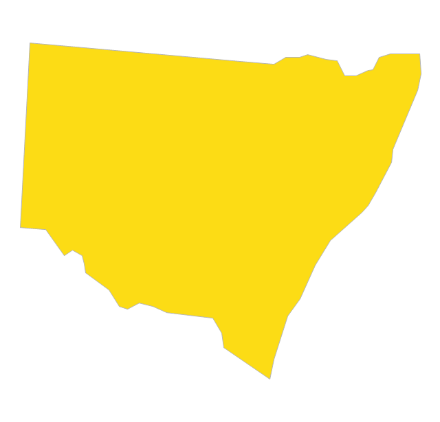
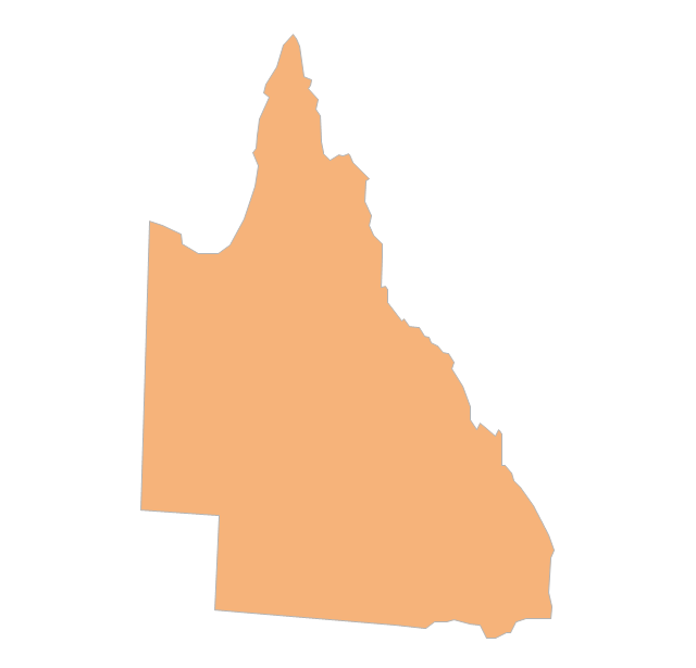
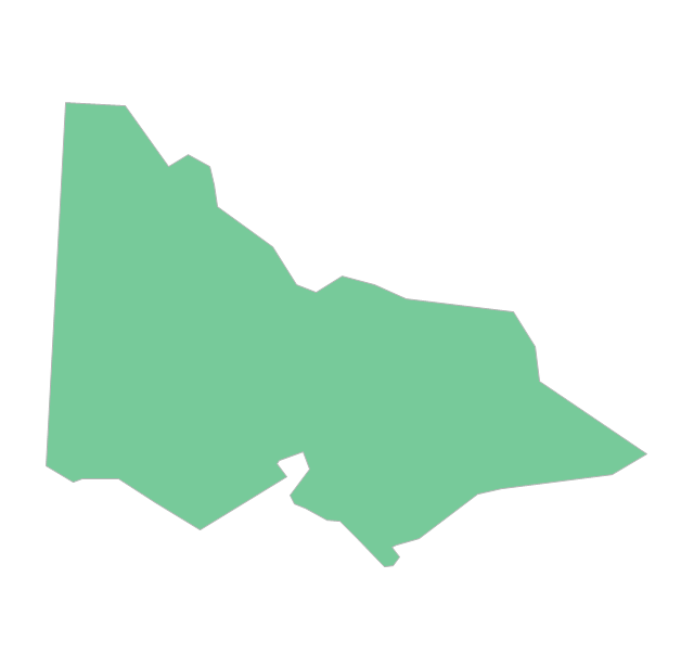
"Australia has six states - New South Wales (NSW), Queensland (QLD), South Australia (SA), Tasmania (TAS), Victoria (VIC) and Western Australia (WA) - and two major mainland territories - the Australian Capital Territory (ACT) and the Northern Territory (NT)." [Australia. Wikipedia]
The map contours example "Australia and New Zealand - Vector stencils library" was created using the ConceptDraw PRO diagramming and vector drawing software extended with the Continent Maps solution from the Maps area of ConceptDraw Solution Park.
The vector stencils library "Australia and New Zealand" contains 10 contours for drawing thematic maps of Australia and New Zealand.
Use it in your spatial infographics for visual representation of geospatial information, statistics and quantitative data in the ConceptDraw PRO diagramming and vector drawing software extended with the Spatial Infographics solution from the area "What is Infographics" of ConceptDraw Solution Park.
Use it in your spatial infographics for visual representation of geospatial information, statistics and quantitative data in the ConceptDraw PRO diagramming and vector drawing software extended with the Spatial Infographics solution from the area "What is Infographics" of ConceptDraw Solution Park.
Types of Map - Overview
ConceptDraw defines some map types, divided into three categories. Every map type has specific shapes and examples.Geo Map - Europe - Estonia
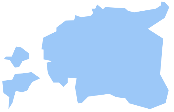
The vector stencils library Estonia contains contours for ConceptDraw PRO diagramming and vector drawing software. This library is contained in the Continent Maps solution from Maps area of ConceptDraw Solution Park.Geo Map - Australia - South Australia
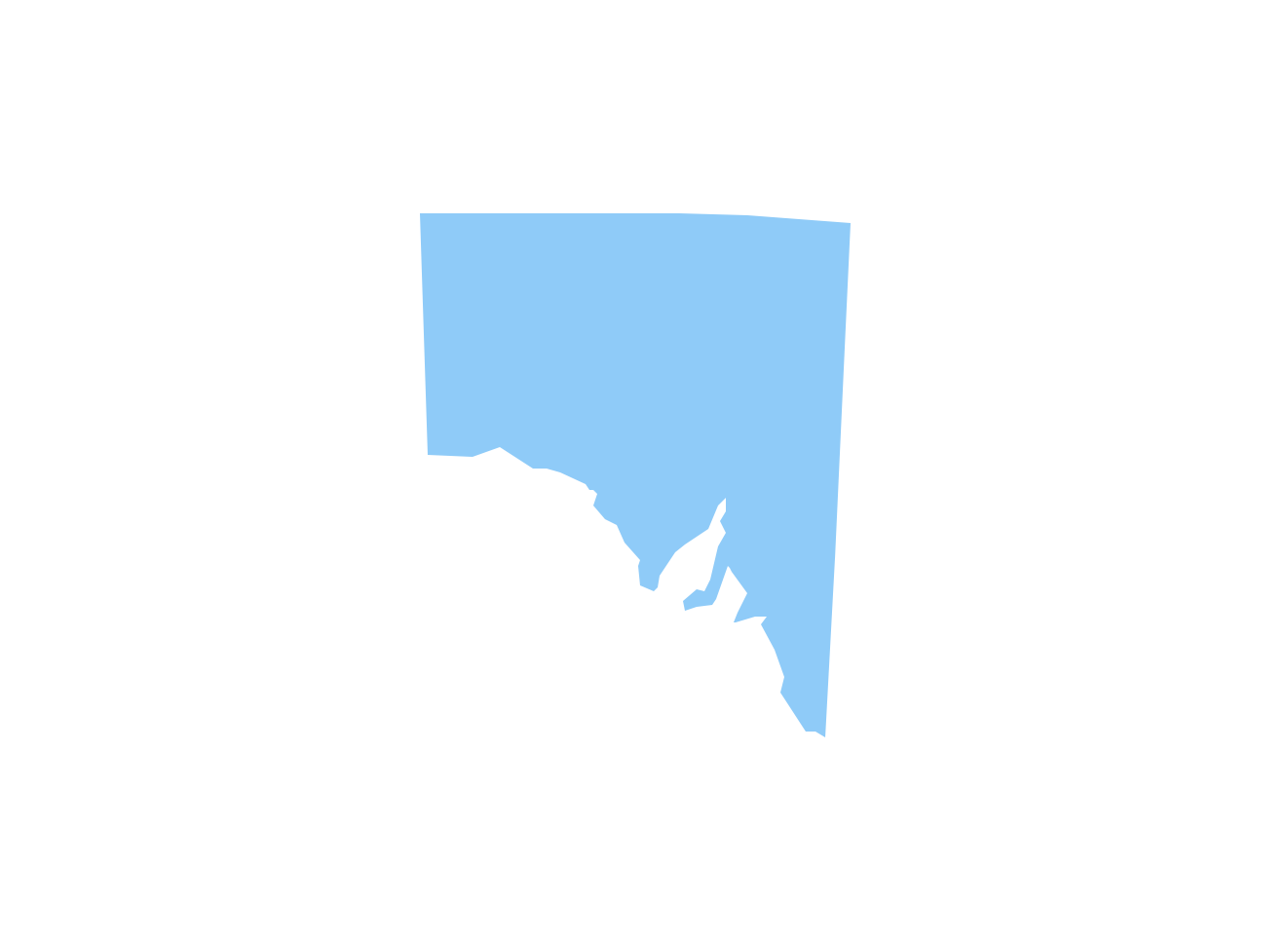
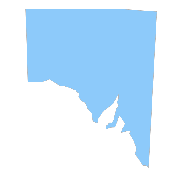
South Australia (abbreviated as SA) is a state in the southern central part of Australia. It covers some of the most arid parts of the continent.Map of Australia
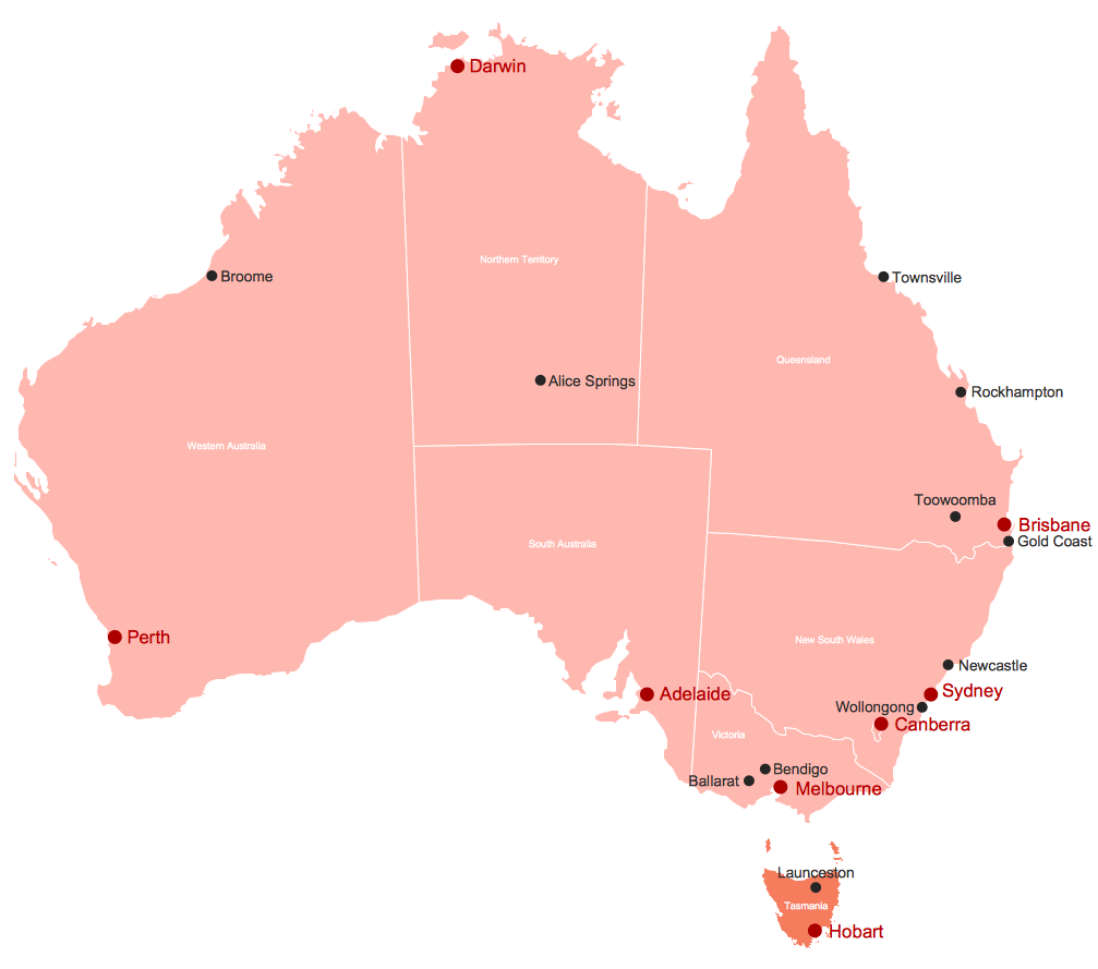
You want design the map of Australia, maps of Australia states or surround islands, maps of Australia self governing mainland territories or extra external territories? Use the indispensable ConceptDraw PRO diagramming and vector drawing software extended with unique Australia Map Solution from the Maps Area of ConceptDraw Solution Park.Geo Map - Australia - Tasmania
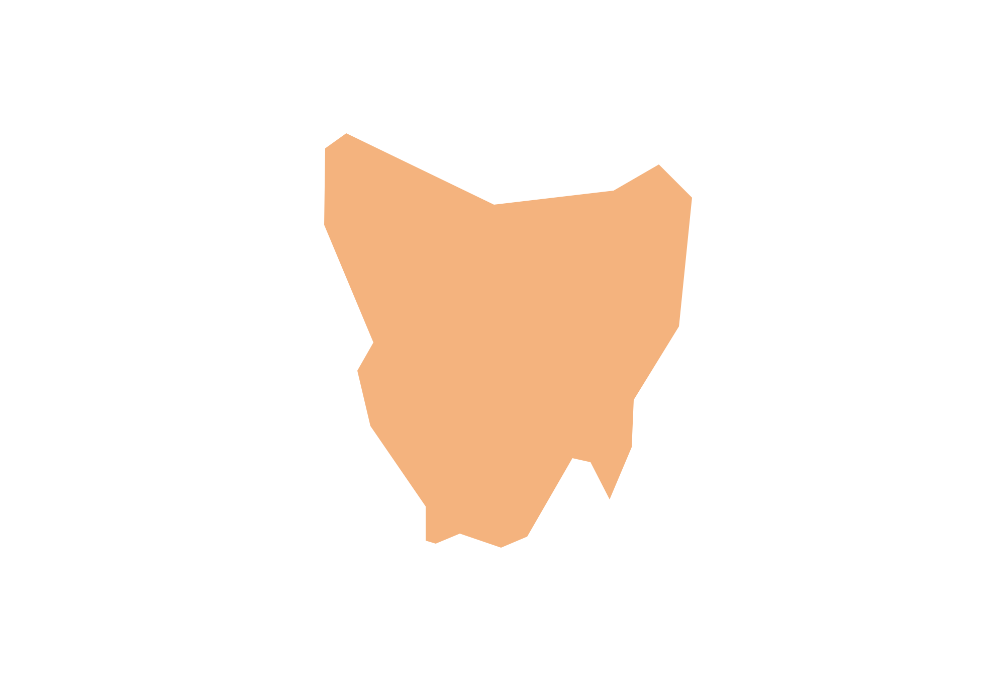
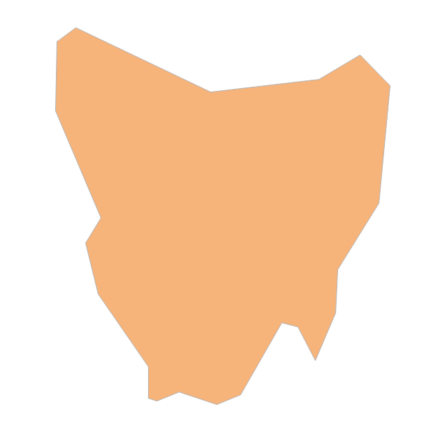
Tasmania (abbreviated as Tas and known colloquially as "Tassie") is an island state, part of the Commonwealth of Australia.Geo Map - Europe - Croatia
The vector stencils library Croatia contains contours for ConceptDraw PRO diagramming and vector drawing software. This library is contained in the Continent Maps solution from Maps area of ConceptDraw Solution Park.- Geo Map - Australia | Australia and New Zealand - Vector stencils ...
- Australia and New Zealand - Vector stencils library | Design ...
- Geo Map - Australia - Nothern Territory | Geo Map - Australia - New ...
- Geo Map - Australia - New South Wales | 7 Continents Map ...
- Geo Map - Australia - New Zealand
- Map Of Australia Tasmania And New Zealand
- Australia and New Zealand - Vector stencils library | Australia and ...
- Map Of Australia And New Zealand
- Geo Map - Australia - New Zealand
- Geo Mapping Software Examples - World Map Outline | Geo Map ...
- Geo Map - Australia - New Zealand
- Australia and New Zealand - Vector stencils library | Australia and ...
- Geo Map - Australia - New Zealand
- Geo Map - Australia - Tasmania | Australia and New Zealand ...
- Geo Map - Australia | Map of median household income in Australia ...
- Geo Map - Australia - New Zealand
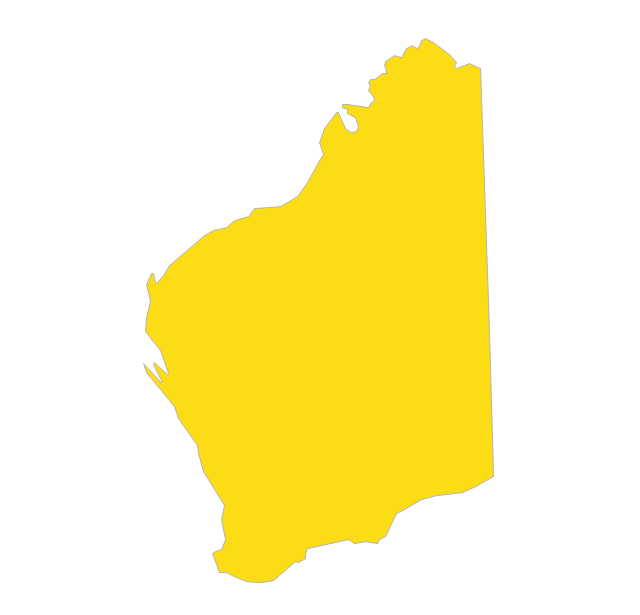
- Western Australia Map
- Geo Map - Australia - New Zealand
- Geo Map - Australia - South Australia | Geo Map - Australia | Geo ...
- Geo Map - South America - Chile | 7 Continents Map | Geo Map ...
-australia-and-new-zealand---vector-stencils-library.png--diagram-flowchart-example.png)


-australia-and-new-zealand---vector-stencils-library.png--diagram-flowchart-example.png)


