Geo Map - South America - Haiti
Haiti, officially the Republic of Haiti, is a Caribbean country. The vector stencils library Haiti contains contours for ConceptDraw DIAGRAM diagramming and vector drawing software. This library is contained in the Continent Maps solution from Maps area of ConceptDraw Solution Park.Geo Map - South America - Belize
Belize is a country on the northeastern coast of Central America. The vector stencils library Belize contains contours for ConceptDraw DIAGRAM diagramming and vector drawing software. This library is contained in the Continent Maps solution from Maps area of ConceptDraw Solution Park.Geo Map - South America - Jamaica
Jamaica is an island country situated in the Caribbean Sea, comprising the third-largest island of the Greater Antilles. The vector stencils library Jamaica contains contours for ConceptDraw DIAGRAM diagramming and vector drawing software. This library is contained in the Continent Maps solution from Maps area of ConceptDraw Solution Park.Geo Map - South America - Cuba
Cuba, officially the Republic of Cuba, is an island country in the Caribbean. The vector stencils library Cuba contains contours for ConceptDraw DIAGRAM diagramming and vector drawing software. This library is contained in the Continent Maps solution from Maps area of ConceptDraw Solution Park.Geo Map - South America - Chile
Chile, officially the Republic of Chile, is a South American country occupying a long, narrow strip of land between the Andes mountains to the east and the Pacific Ocean to the west. The vector stencils library Chile contains contours for ConceptDraw DIAGRAM diagramming and vector drawing software. This library is contained in the Continent Maps solution from Maps area of ConceptDraw Solution Park.Geo Map - South America - French Guiana
French Guiana, officially just Guiana, is an overseas department and region of France on the north Atlantic coast of South America. The vector stencils library French Guiana contains contours for ConceptDraw DIAGRAM diagramming and vector drawing software. This library is contained in the Continent Maps solution from Maps area of ConceptDraw Solution Park.Geo Map - South America - Guyana
Guyana, officially the Co-operative Republic of Guyana, is a sovereign state on the northern coast of South America. The vector stencils library Guyana contains contours for ConceptDraw DIAGRAM diagramming and vector drawing software. This library is contained in the Continent Maps solution from Maps area of ConceptDraw Solution Park.Geo Map - South America - Dominican Republic
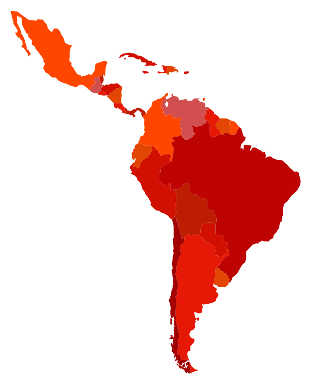
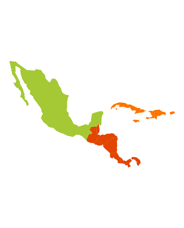
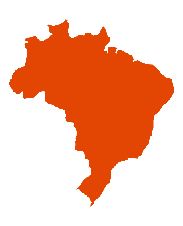
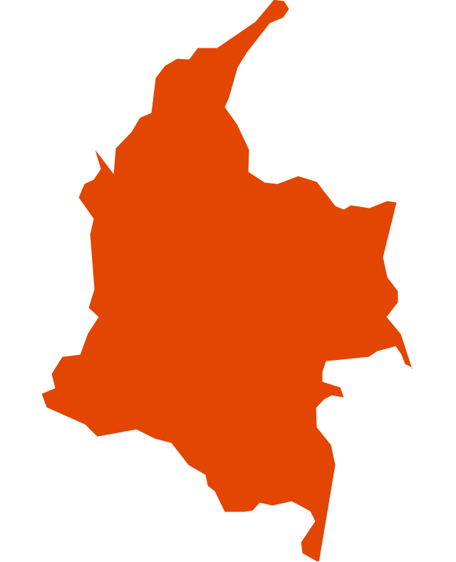
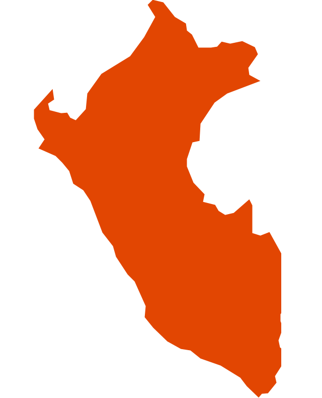
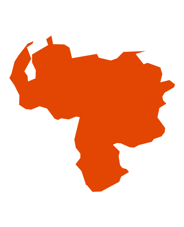
The Dominican Republic is a nation on the island of Hispaniola, part of the Greater Antilles archipelago in the Caribbean region. The vector stencils library Dominican Republic contains contours for ConceptDraw DIAGRAM diagramming and vector drawing software. This library is contained in the Continent Maps solution from Maps area of ConceptDraw Solution Park.The vector stencils library "Latin America" contains 30 country contours for drawing thematic maps of Latin America.
Use it in your spatial infographics for visual representation of geospatial information, statistics and quantitative data in the ConceptDraw PRO diagramming and vector drawing software extended with the Spatial Infographics solution from the area "What is Infographics" of ConceptDraw Solution Park.
Use it in your spatial infographics for visual representation of geospatial information, statistics and quantitative data in the ConceptDraw PRO diagramming and vector drawing software extended with the Spatial Infographics solution from the area "What is Infographics" of ConceptDraw Solution Park.
The vector stencils library "Latin America" contains 30 country contours for drawing thematic maps of Latin America.
Use it in your spatial infographics for visual representation of geospatial information, statistics and quantitative data in the ConceptDraw PRO diagramming and vector drawing software extended with the Spatial Infographics solution from the area "What is Infographics" of ConceptDraw Solution Park.
Use it in your spatial infographics for visual representation of geospatial information, statistics and quantitative data in the ConceptDraw PRO diagramming and vector drawing software extended with the Spatial Infographics solution from the area "What is Infographics" of ConceptDraw Solution Park.
- Geo Map - South America - Haiti | Geo Map - South America ...
- Geo Map - South America - Dominican Republic
- Geo Map - South America - Dominican Republic | South America ...
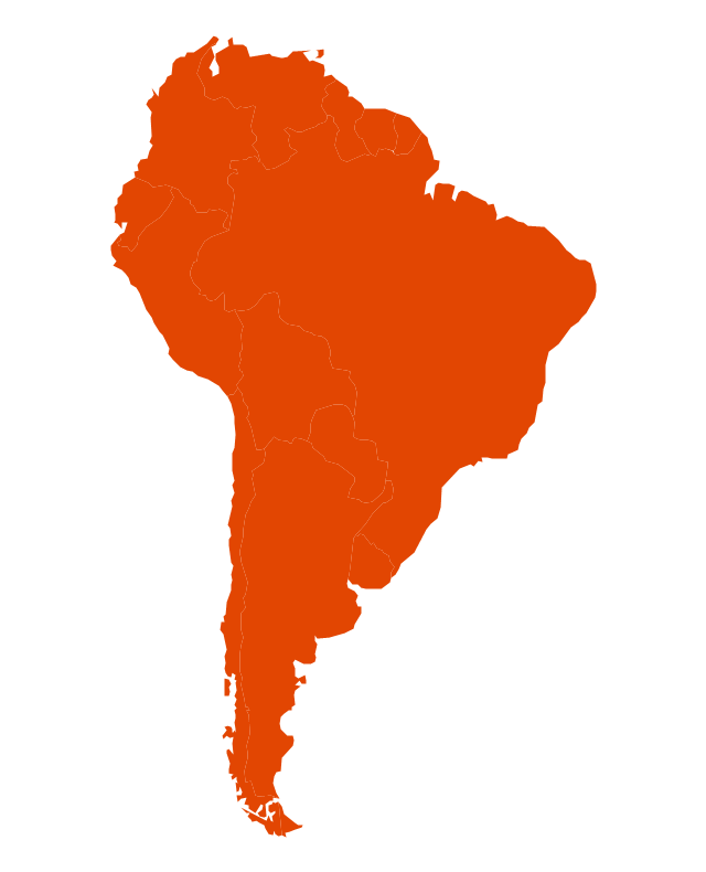
- Geo Map - South America
- Geo Map - South America - Dominican Republic
- Geo Map - South America - Cuba | Latin America - Vector stencils ...
- Map of USA with state names | Geo Map — United States of America ...
- Geo Map - South America - Jamaica | Geo Map - South America ...
- Geo Map - South America Continent | Draw The Sketch Map Of Latin ...
- Geo Map - South America - Belize | South America - Vector stencils ...


