Geo Map - USA - Washington
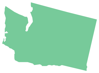
Washington is a state in the Pacific Northwest region of the United States located north of Oregon, west of Idaho, and south of the Canadian province of British Columbia on the coast of the Pacific Ocean. The vector stencils library Washington contains contours for ConceptDraw PRO diagramming and vector drawing software. This library is contained in the Continent Maps solution from Maps area of ConceptDraw Solution Park.Map of Continents
A continent is one of several very large landmasses on Earth. ConceptDraw PRO diagramming and vector drawing software offers the unique Continent Maps Solution from the Maps Area which is indispensable for drawing the map of continents of the Earth.Geo Map - USA - New York
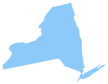
New York is a state in the Northeastern and Mid-Atlantic regions of the United States. The vector stencils library New York contains contours for ConceptDraw PRO diagramming and vector drawing software. This library is contained in the Continent Maps solution from Maps area of ConceptDraw Solution Park.Geo Map - USA - Minnesota
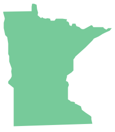
Minnesota is a U.S. state in the Midwestern United States. The vector stencils library Minnesota contains contours for ConceptDraw PRO diagramming and vector drawing software. This library is contained in the Continent Maps solution from Maps area of ConceptDraw Solution Park.
 Continent Maps
Continent Maps solution extends ConceptDraw PRO software with templates, samples and libraries of vector stencils for drawing the thematic maps of continents, state maps of USA and Australia.
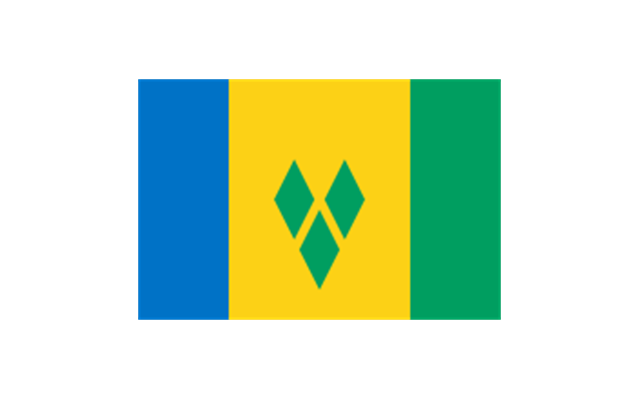
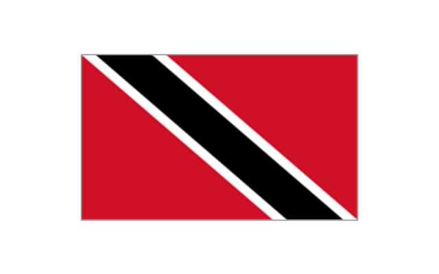
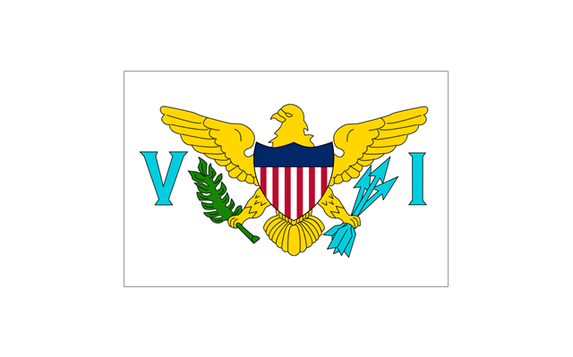
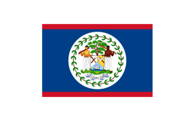
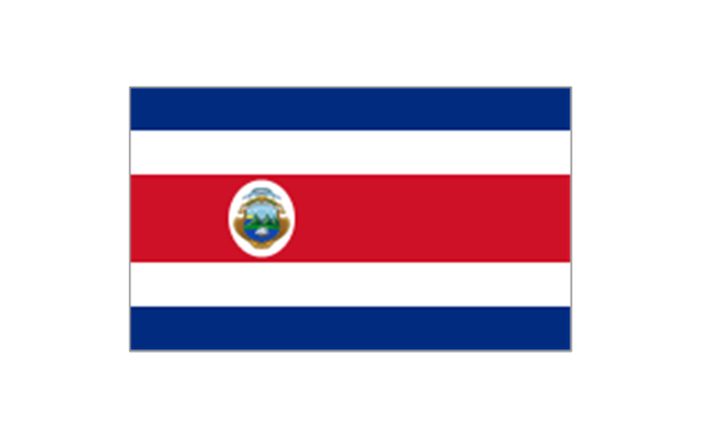
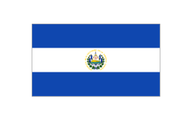
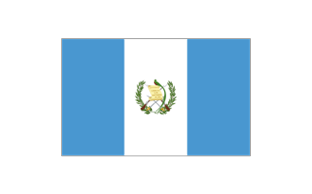
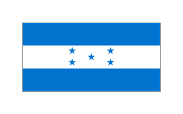
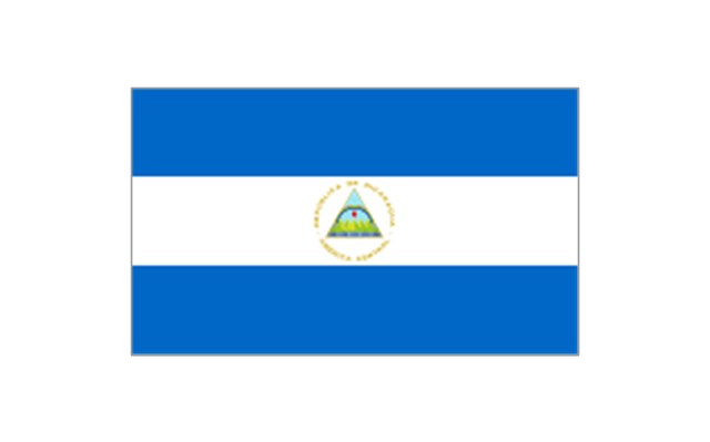
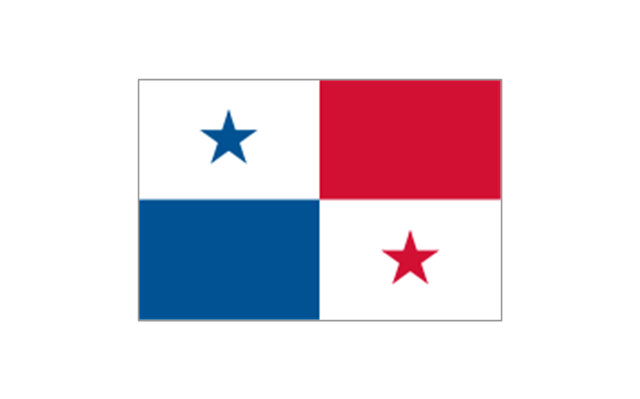
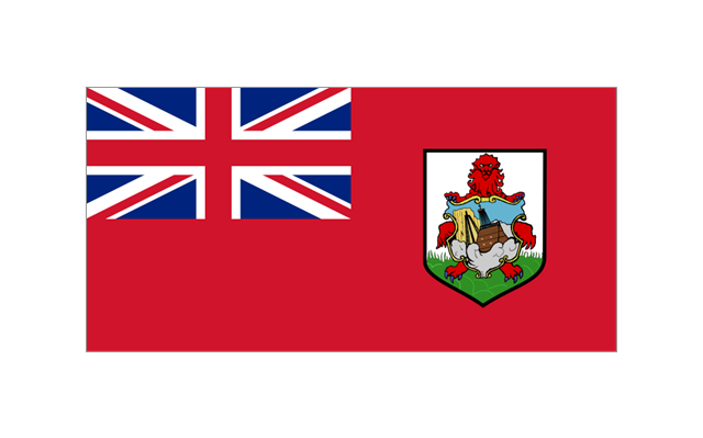
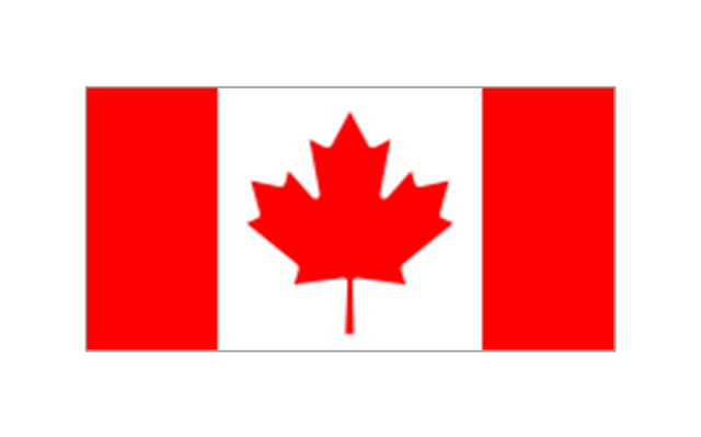
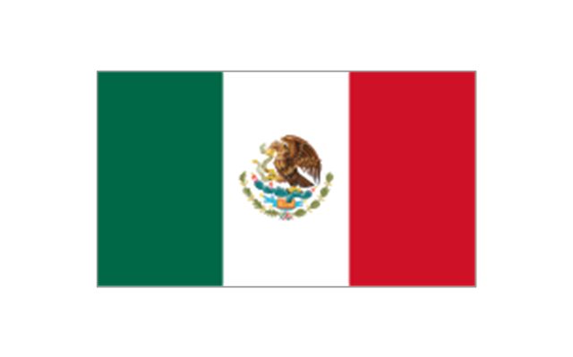
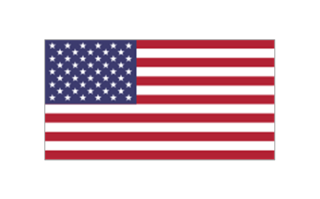
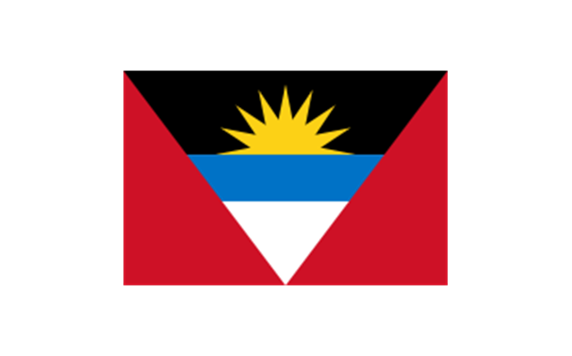
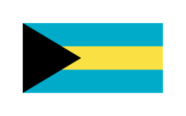
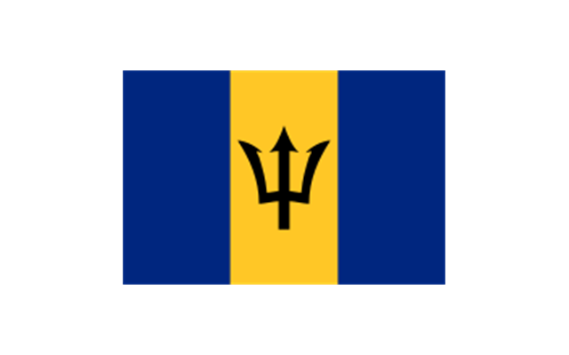
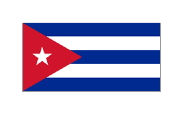
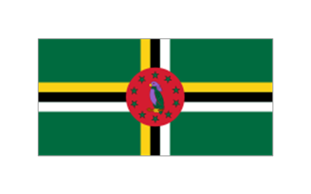
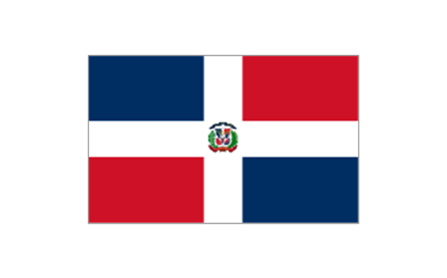
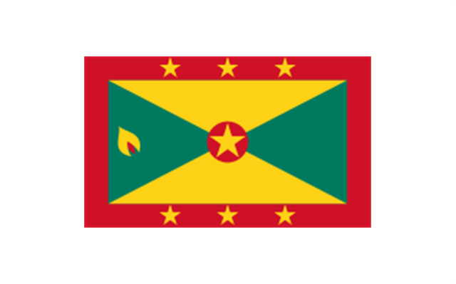
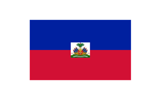
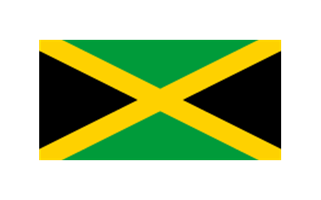
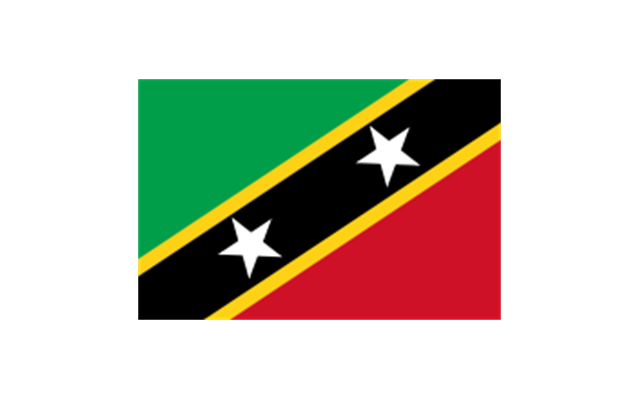
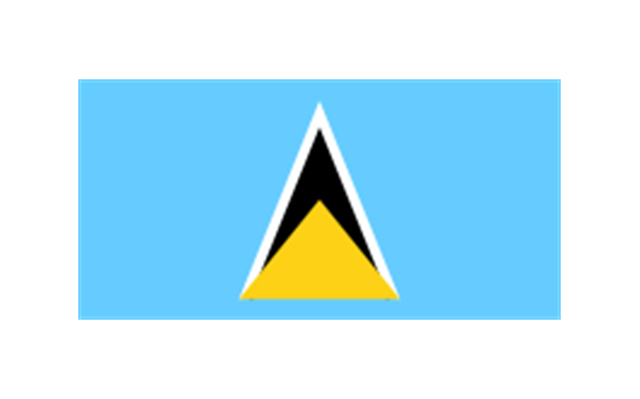
The stencils library "North and Central America flags" contains 35 clipart images of North and Central American countries state flags.
"Flags of North America.
North America: Flag of Canada, Flag of Mexico, Flag of the United States.
Central America: Flag of Belize, Flag of Costa Rica, Flag of El Salvador, Flag of Guatemala, Flag of Honduras, Flag of Nicaragua, Flag of Panama.
Caribbean: Flag of Anguilla (United Kingdom), Flag of Antigua and Barbuda, Flag of Aruba (Netherlands), Flag of the Bahamas, Flag of Barbados, Flag of Bonaire (Netherlands), Flag of the British Virgin Islands (United Kingdom), Flag of the Cayman Islands (United Kingdom), Flag of Cuba, Flag of Curacao (Netherlands), Flag of Dominica, Flag of the Dominican Republic, Flag of Grenada, Unofficial Flag of Guadeloupe (France), Flag of Haiti, Flag of Jamaica, Unofficial Flag of Martinique (France), Flag of Montserrat (United Kingdom), Unofficial Flag of Navassa Island (United States), Flag of Puerto Rico (United States), Flag of Saba (Netherlands), Unofficial Flag of Saint Barthelemy (France), Flag of Saint Kitts and Nevis, Flag of Saint Lucia, Unofficial Flag of Saint Martin (France), Flag of Saint Vincent and the Grenadines, Flag of Sint Eustatius (Netherlands), Flag of Sint Maarten (Netherlands), Flag of Trinidad and Tobago, Flag of the Turks and Caicos Islands (United Kingdom), Flag of the United States Virgin Islands (United States)." [Flags of North America. Wikipedia]
The clip art example "North and Central America flags - Stencils library" was created using the ConceptDraw PRO diagramming and vector drawing software extended with the Continent Maps solution from the Maps area of ConceptDraw Solution Park.
www.conceptdraw.com/ solution-park/ maps-continent
Geo Map - Africa - Tanzania
Tanzania, officially the United Republic of Tanzania (Swahili: Jamhuri ya Muungano wa Tanzania), is a country in East Africa in the African Great Lakes region. The vector stencils library Tanzania contains contours for ConceptDraw PRO diagramming and vector drawing software. This library is contained in the Continent Maps solution from Maps area of ConceptDraw Solution Park.Geo Map - Canada - Nova Scotia
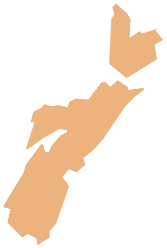
Nova Scotia is one of Canada's three Maritime provinces and constitutes one of the four Atlantic Canada provinces. The vector stencils library Nova Scotia contains contours for ConceptDraw PRO diagramming and vector drawing software. This library is contained in the Continent Maps solution from Maps area of ConceptDraw Solution Park.- Geo Map - South America Continent | North America Map Hindi ...
- Geo Map - South America Continent | North America Map In Hindi
- North Amerika Map In Hindi
- Geo Map - South America Continent | Geomap For Hindi
- North America Map Hindi
- North American Countries And Capitals Map In Hindi
- Geo Map - South America Continent | North Amarica Map Hindi
- Map Of South America In Hindi
- North America Hd Map With States And Cities
- North America State Map Images Hd
- The American Map
- North America map with capitals - Template
- European Capitals Map Hd
- North America - Vector stencils library | North America map ...
- Geo Map - South America Continent | Geo Map - United States of ...
- Diagram Of North American Continent And Country On Its Map
- Countries In North American And Thier Capitals With Thier Drawings
- America Continent Map Hd
- North America And South America Map With States
- Map American States

-north-and-central-america-flags---stencils-library.png--diagram-flowchart-example.png)
-north-and-central-america-flags---stencils-library.png--diagram-flowchart-example.png)
-north-and-central-america-flags---stencils-library.png--diagram-flowchart-example.png)
-north-and-central-america-flags---stencils-library.png--diagram-flowchart-example.png)
-north-and-central-america-flags---stencils-library.png--diagram-flowchart-example.png)
-north-and-central-america-flags---stencils-library.png--diagram-flowchart-example.png)
-north-and-central-america-flags---stencils-library.png--diagram-flowchart-example.png)
-north-and-central-america-flags---stencils-library.png--diagram-flowchart-example.png)
-north-and-central-america-flags---stencils-library.png--diagram-flowchart-example.png)
