Geo Map - Asia - North Korea
North Korea, officially the Democratic People's Republic of Korea, is a country in East Asia, in the northern part of the Korean Peninsula. The vector stencils library North Korea contains contours for ConceptDraw PRO diagramming and vector drawing software. This library is contained in the Continent Maps solution from Maps area of ConceptDraw Solution Park.Geo Map - Europe - Bulgaria
Bulgaria, officially the Republic of Bulgaria, is a country located in Southeastern Europe. Use the Continent Maps solution to create Bulgaria geographical map, cartograms and thematic map, to help visualize the business and thematic information connected with geographic areas, locations or customs.Geo Map - Asia - Thailand
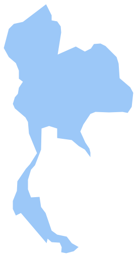
Thailand, officially the Kingdom of Thailand, is a country located at the centre of the Indochina peninsula in Southeast Asia. The vector stencils library Thailand contains contours for ConceptDraw PRO diagramming and vector drawing software. This library is contained in the Continent Maps solution from Maps area of ConceptDraw Solution Park.Geo Map - Asia - Papua New Guinea
Papua New Guinea, officially named the Independent State of Papua New Guinea, is a country in Oceania that occupies the eastern half of the island of New Guinea (the western portion of the island is a part of the Indonesian provinces of Papua and West Papua) and numerous offshore islands. The vector stencils library Papua New Guinea contains contours for ConceptDraw PRO diagramming and vector drawing software. This library is contained in the Continent Maps solution from Maps area of ConceptDraw Solution Park.Geo Map - Asia - Jordan
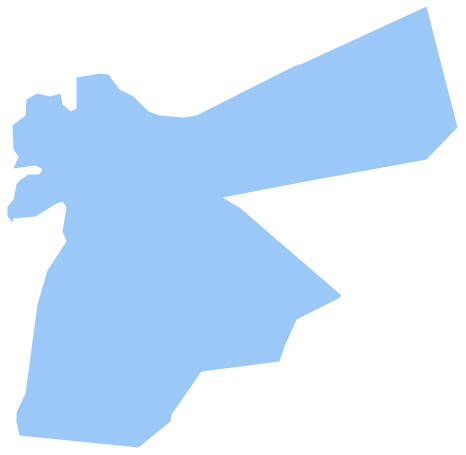
Jordan, officially the Hashemite Kingdom of Jordan, is an Arab kingdom in West Asia, on the East Bank of the Jordan River, and extending into the historic region of Palestine. The vector stencils library Jordan contains contours for ConceptDraw PRO diagramming and vector drawing software. This library is contained in the Continent Maps solution from Maps area of ConceptDraw Solution Park.Geo Map - Asia - South Korea
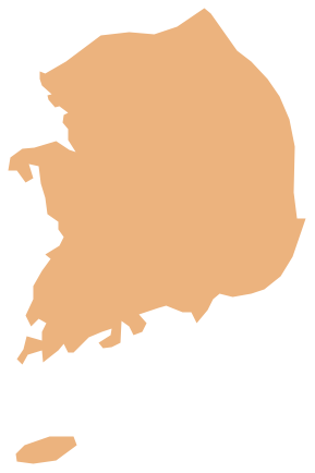
South Korea, officially the Republic of Korea, is a country in East Asia, constituting the southern part of the Korean Peninsula. The vector stencils library South Korea contains contours for ConceptDraw PRO diagramming and vector drawing software. This library is contained in the Continent Maps solution from Maps area of ConceptDraw Solution Park.Geo Map - Asia - Lebanon
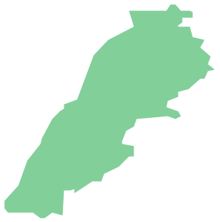
Lebanon, officially the Lebanese Republic, is a Democratic Republic country in the East Mediterranean. The vector stencils library Lebanon contains contours for ConceptDraw PRO diagramming and vector drawing software. This library is contained in the Continent Maps solution from Maps area of ConceptDraw Solution Park.Geo Map - Asia - Laos
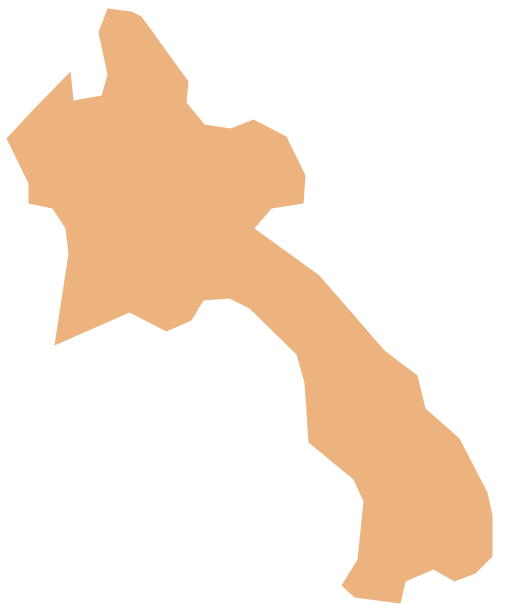
Laos, officially the Lao People's Democratic Republic, is a landlocked country in Southeast Asia, bordered by Burma and China to the northwest, Vietnam to the east, Cambodia to the south, and Thailand to the west. The vector stencils library Laos contains contours for ConceptDraw PRO diagramming and vector drawing software. This library is contained in the Continent Maps solution from Maps area of ConceptDraw Solution Park.Geo Map - Asia - Indonesia
Indonesia, officially the Republic of Indonesia, is a sovereign state in Southeast Asia and Oceania. The vector stencils library Indonesia contains contours for ConceptDraw PRO diagramming and vector drawing software. This library is contained in the Continent Maps solution from Maps area of ConceptDraw Solution Park.Geo Map - Asia - Iraq
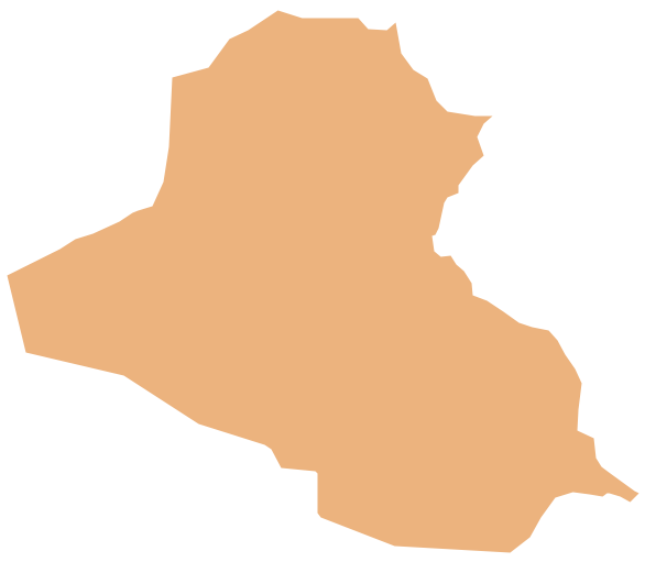
Iraq, officially the Republic of Iraq, is a country in Western Asia encompassing the Mesopotamian alluvial plain, the northwestern end of the Zagros mountain range, and the eastern part of the Syrian Desert. The vector stencils library Iraq contains contours for ConceptDraw PRO diagramming and vector drawing software. This library is contained in the Continent Maps solution from Maps area of ConceptDraw Solution Park.Geo Map - Australia - New Zealand
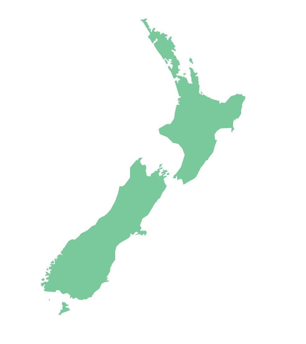
The vector stencils library Australia contains contours of New Zealand and Australian states and mainland territories for ConceptDraw PRO diagramming and vector drawing software.Geo Map - Asia - Azerbaijan
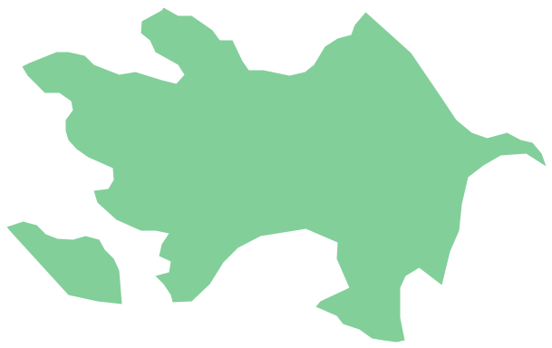
Azerbaijan, officially the Republic of Azerbaijan, is the largest country in the Caucasus region located at the crossroads of Western Asia and Eastern Europe. The vector stencils library Azerbaijan contains contours for ConceptDraw PRO diagramming and vector drawing software. This library is contained in the Continent Maps solution from Maps area of ConceptDraw Solution Park.Geo Map - Asia - Pakistan
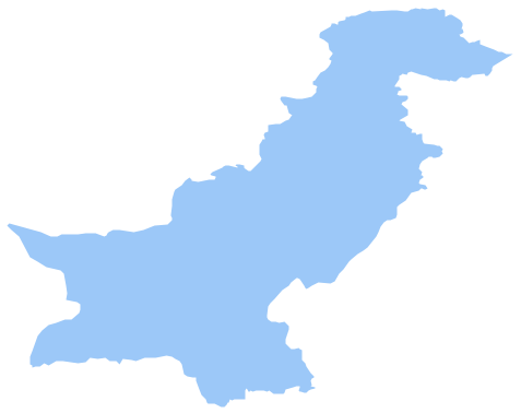
Pakistan, officially the Islamic Republic of Pakistan, is a sovereign country in South Asia. The vector stencils library Pakistan contains contours for ConceptDraw PRO diagramming and vector drawing software. This library is contained in the Continent Maps solution from Maps area of ConceptDraw Solution Park.Geo Map - Asia - United Arab Emirates
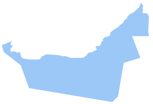
The United Arab Emirates, sometimes simply called the Emirates or the UAE, is a country located in the southeast end of the Arabian Peninsula on the Persian Gulf, bordering Oman to the east and Saudi Arabia to the south, as well as sharing sea borders with Qatar, Iran and Pakistan. The vector stencils library United Arab Emirates contains contours for ConceptDraw PRO diagramming and vector drawing software. This library is contained in the Continent Maps solution from Maps area of ConceptDraw Solution Park.Geo Map - Asia - Kyrgyzstan
Kyrgyzstan, officially the Kyrgyz Republic, is a country located in Central Asia. The vector stencils library Kyrgyzstan contains contours for ConceptDraw PRO diagramming and vector drawing software. This library is contained in the Continent Maps solution from Maps area of ConceptDraw Solution Park.- North Asia Map
- Audit flowchart - Claim data processing | Audit Process Flowchart ...
- Geo Map - Asia - North Korea | Geo Map - USA - North Carolina ...
- Geo Map - Asia - South Korea | Geo Map - Asia - North Korea | Geo ...
- Geo Map - Asia - Myanmar | Audit Process Flowchart . Audit ...
- Flowchart design. Flowchart symbols, shapes, stencils and icons ...
- Geo Map - Asia - Japan | Types of Flowchart - Overview | Landscape ...
- River Png Images
- Geo Map - Asia - South Korea | Geo Map - Europe - Russia | Geo ...
- Geo Map - Africa | Flowchart design. Flowchart symbols, shapes ...
- Process Flowchart | Cisco Network Topology. Cisco icons, shapes ...
- Simple Map Singapore Malaysia
- Png River Images
- Work Order Process Flowchart . Business Process Mapping ...
- Flowchart design. Flowchart symbols, shapes, stencils and icons ...
- Process Flowchart | Basic Flowchart Symbols and Meaning | Types ...
- Presentation design elements - Vector clipart library | Flowchart ...
- Map Korea Png
- Process Flowchart | SmartCloud model | How to Create a Fault Tree ...
- Export from ConceptDraw PRO Document to a Graphic File ...


