Infographic Maker
Infographic is a visual way of representing various information, data, knowledge in statistics, geography, journalism, education, and much more areas. ConceptDraw PRO supplied with Pictorial Infographics Solution from the “What are Infographics” Area, provides a set of powerful pictorial infographics tools. Thanks to them it is the best Infographic Maker.Geo Map - Africa - Ghana
Ghana, officially called the Republic of Ghana, is a sovereign state and unitary presidential constitutional republic, located along the Gulf of Guinea and Atlantic Ocean, in West Africa. The vector stencils library Ghana contains contours for ConceptDraw PRO diagramming and vector drawing software. This library is contained in the Continent Maps solution from Maps area of ConceptDraw Solution Park.Geo Map - Canada - Manitoba
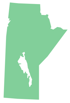
Manitoba is a Canadian prairie province. The vector stencils library Manitoba contains contours for ConceptDraw PRO diagramming and vector drawing software. This library is contained in the Continent Maps solution from Maps area of ConceptDraw Solution Park.Geo Map - World
ConceptDraw PRO is idea to draw the geological maps of World from the pre-designed vector geo map shapes.Geo Map - South America - Argentina
Argentina, officially the Argentine Republic, is a federal republic located in southeastern South America. The vector stencils library Argentina contains contours for ConceptDraw PRO diagramming and vector drawing software. This library is contained in the Continent Maps solution from Maps area of ConceptDraw Solution Park.Geo Map - South America - Jamaica
Jamaica is an island country situated in the Caribbean Sea, comprising the third-largest island of the Greater Antilles. The vector stencils library Jamaica contains contours for ConceptDraw PRO diagramming and vector drawing software. This library is contained in the Continent Maps solution from Maps area of ConceptDraw Solution Park.Geo Map - Africa - Angola
Angola, officially the Republic of Angola, is a country in Southern Africa bordered by Namibia on the south, the Democratic Republic of the Congo on the north, and Zambia on the east; its west coast is on the Atlantic Ocean and Luanda is its capital city. The vector stencils library Angola contains contours for ConceptDraw PRO diagramming and vector drawing software. This library is contained in the Continent Maps solution from Maps area of ConceptDraw Solution Park.Geo Map - USA - Oregon
Oregon is a state in the Pacific Northwest of the United States. The vector stencils library Oregon contains contours for ConceptDraw PRO diagramming and vector drawing software. This library is contained in the Continent Maps solution from Maps area of ConceptDraw Solution Park.Geo Map - USA - Maryland
Maryland is a U.S. state located in the Mid-Atlantic region of the United States, bordering Virginia, West Virginia, and Washington, D.C. to its south and west; Pennsylvania to its north; and Delaware to its east. The vector stencils library Maryland contains contours for ConceptDraw PRO diagramming and vector drawing software. This library is contained in the Continent Maps solution from Maps area of ConceptDraw Solution Park.Geo Map - Africa - Uganda
Uganda, officially the Republic of Uganda, is a landlocked country in East Africa. The vector stencils library Uganda contains contours for ConceptDraw PRO diagramming and vector drawing software. This library is contained in the Continent Maps solution from Maps area of ConceptDraw Solution Park.Geo Map - Africa - South Africa
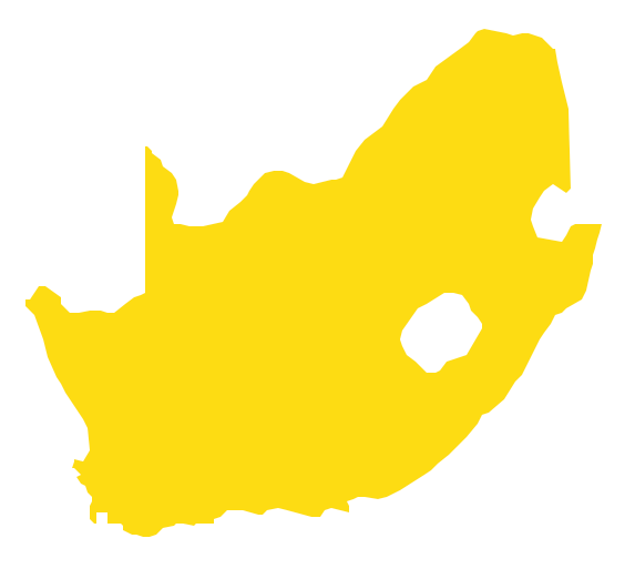
South Africa, officially the Republic of South Africa, is a country located at the southern tip of Africa. The vector stencils library South Africa contains contours for ConceptDraw PRO diagramming and vector drawing software. This library is contained in the Continent Maps solution from Maps area of ConceptDraw Solution Park.Geo Map - Africa - Malawi
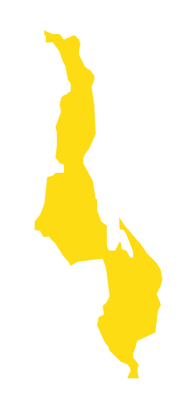
Malawi, officially the Republic of Malawi, is a landlocked country in southeast Africa that was formerly known as Nyasaland. The vector stencils library Malawi contains contours for ConceptDraw PRO diagramming and vector drawing software. This library is contained in the Continent Maps solution from Maps area of ConceptDraw Solution Park.Geo Map - Africa - Tunisia
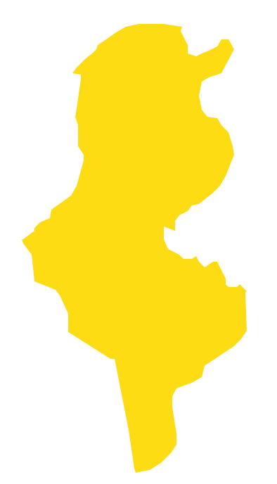
Tunisia, officially the Tunisian Republic, is a country in the Maghreb region of North Africa. The vector stencils library Tunisia contains contours for ConceptDraw PRO diagramming and vector drawing software. This library is contained in the Continent Maps solution from Maps area of ConceptDraw Solution Park.Geo Map - Africa - Zimbabwe
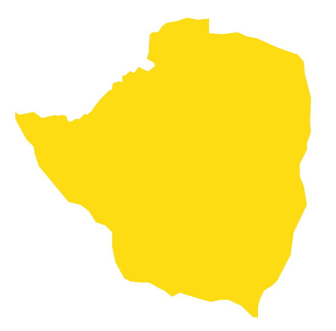
Zimbabwe, officially the Republic of Zimbabwe, is a landlocked country located in southern Africa, between the Zambezi and Limpopo rivers. The vector stencils library Zimbabwe contains contours for ConceptDraw PRO diagramming and vector drawing software. This library is contained in the Continent Maps solution from Maps area of ConceptDraw Solution Park.Geo Map - Africa - Egypt
Egypt, is a transcontinental country spanning the northeast corner of Africa and southwest corner of Asia, via a land bridge formed by the Sinai Peninsula. The vector stencils library Egypt contains contours for ConceptDraw PRO diagramming and vector drawing software. This library is contained in the Continent Maps solution from Maps area of ConceptDraw Solution Park.- Oceania Map Outline Silhouette
- Design elements - Christmas and New Year | Geo Map - Australia ...
- Bar Diagrams for Problem Solving. Create economics and financial ...
- Export from ConceptDraw PRO Document to a Graphic File | Geo ...
- Export from ConceptDraw PRO Document to a Graphic File | Geo ...
- Geo Map - Asia - Papua New Guinea | Export from ConceptDraw ...
- Geo Map - Asia - Indonesia
- 3D pictorial road map | ARL route map | Rolla USGS Center locator ...
- Geo Map - Asia - United Arab Emirates | Geo Map - Europe ...
- Australia and New Zealand - Vector stencils library | Australia and ...
- Export from ConceptDraw PRO Document to a Graphic File | Geo ...
- Geo Map - Asia - Japan
- Geography - Vector stencils library | Design elements - Geography ...
- Professions - Vector stencils library | People - Vector stencils library ...
- Geo Map - Australia - New Zealand
- Australia And New Zeland Map
- Export from ConceptDraw PRO Document to a Graphic File | How To ...
- Cisco WAN. Cisco icons, shapes, stencils and symbols | FIFA World ...
- Flags - Stencils library | Design elements - Asia flags | Asia flags ...
- Cisco network topology - Vector stencils library | AWS simple icons ...

