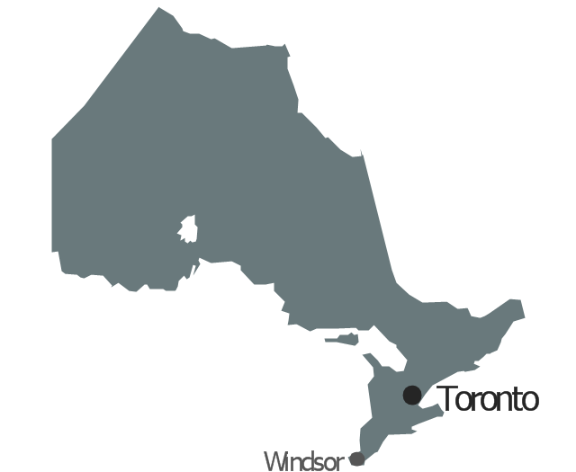
Geo Map - Canada - Ontario

Geo Map - Canada

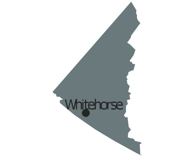
Geo Map - Canada - Yukon

Geo Map - Canada - Nunavut

Geo Map - Canada - British Columbia

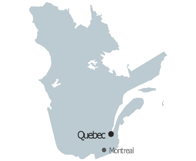
Geo Map - Canada - Quebec

Geo Map - Canada - Nova Scotia

Geo Map - USA - Alaska

Geo Map - USA - New York

Geo Map - USA - Massachusetts

The vector stencils library "Management map Canada" contains 14 state map contours of Canada.
Use it to create your management infogram in the ConceptDraw PRO diagramming and vector drawing software.
The state map contours example "Management map Canada - Vector stencils library" is included in the solution "Marketing infographics" from the "Business infographics" area of ConceptDraw Solution Park.
Canada
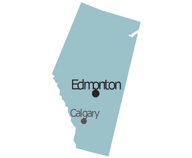
Alberta
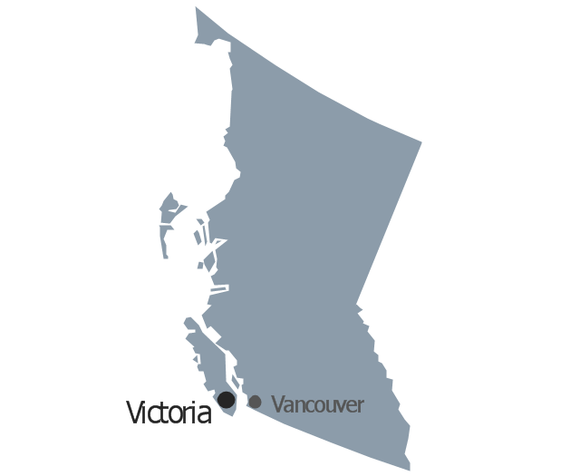
British Columbia
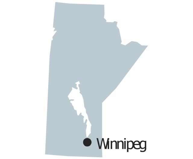
Manitoba
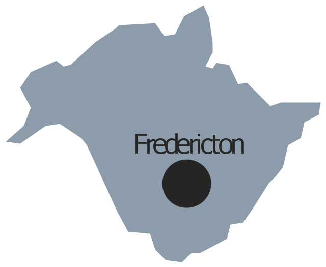
New Brunswick
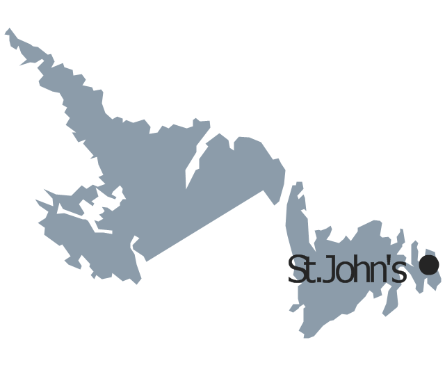
Newfoundland and Labrador
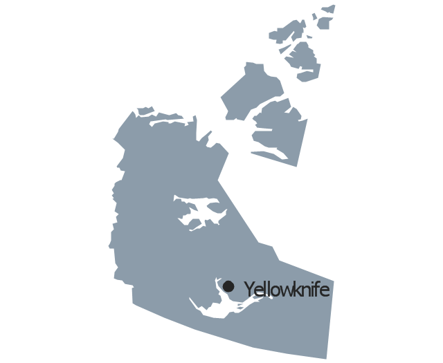
Northwest Territories
Nova Scotia

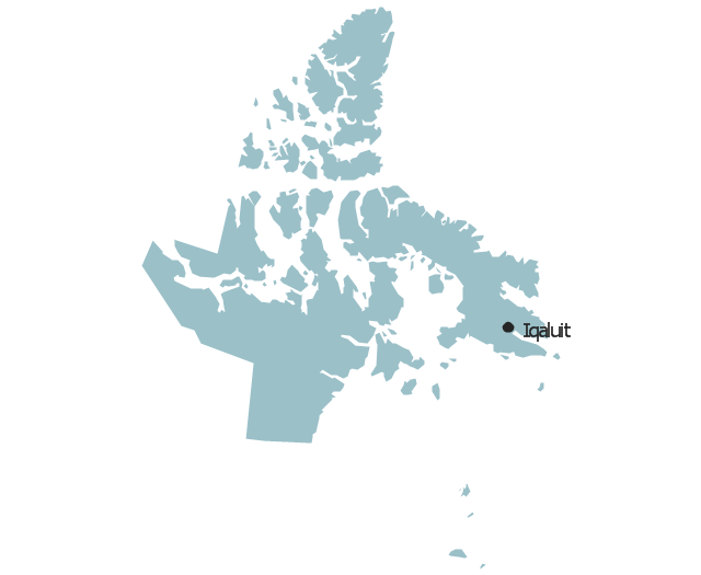
Nunavut
Ontario
Prince Edward Island

Quebec
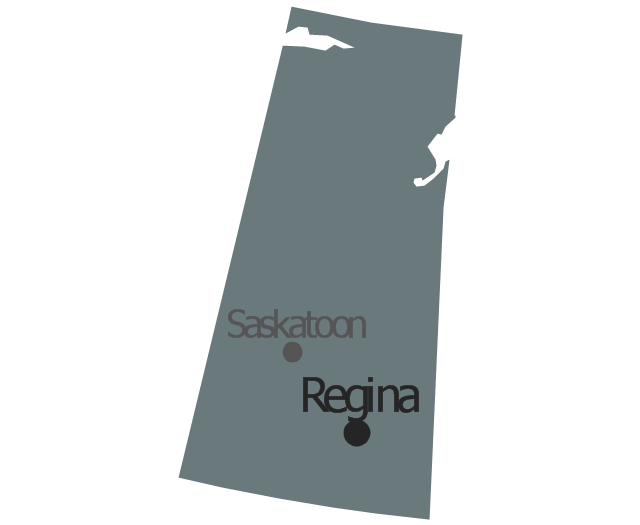
Saskatchewan
Yukon
The vector stencils library "Management map Canada" contains 14 state map contours of Canada.
Use it to create your management infogram in the ConceptDraw PRO diagramming and vector drawing software.
The state map contours example "Management map Canada - Vector stencils library" is included in the solution "Marketing infographics" from the "Business infographics" area of ConceptDraw Solution Park.
Use it to create your management infogram in the ConceptDraw PRO diagramming and vector drawing software.
The state map contours example "Management map Canada - Vector stencils library" is included in the solution "Marketing infographics" from the "Business infographics" area of ConceptDraw Solution Park.
Canada
Alberta
British Columbia
Manitoba
New Brunswick
Newfoundland and Labrador
Northwest Territories
Nova Scotia
Nunavut
Ontario
Prince Edward Island
Quebec
Saskatchewan
Yukon
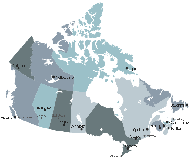
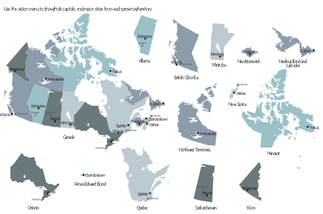
This sample displays state map contours with capitals and major cities of Canada provinces and territories. Use it to design your management infographics.
"The provinces and territories of Canada combine to make up the world's second-largest country by area. ... The ten provinces are Alberta, British Columbia, Manitoba, New Brunswick, Newfoundland and Labrador, Nova Scotia, Ontario, Prince Edward Island, Quebec, and Saskatchewan. The three territories are Northwest Territories, Nunavut, and Yukon." [Canada. Wikipedia]
The infogram shapes example "Design elements - Management map Canada" was created using the ConceptDraw PRO diagramming and vector drawing software extended with the Management Infographics solition from the area "Business Infographics" in ConceptDraw Solution Park.
Canada state map contours
This political map of Canada exhibits its ten provinces and three territories, and their capitals.
"Canada is a country in North America consisting of 10 provinces and 3 territories. Located in the northern part of the continent, it extends from the Atlantic to the Pacific and northward into the Arctic Ocean. At 9.98 million square kilometers in total, Canada is the world's second-largest country by total area, and its common border with the United States is the world's longest land border shared by the same two countries." [Canada. Wikipedia]
This Canada political map was redesigned from Wikipedia file Map Canada political 2.png. [commons.wikimedia.org/ wiki/ File:Map_ Canada_ political_ 2.png]
The example "Canada political map" was created using the ConceptDraw PRO diagramming and vector drawing software extended with the Continent Maps solution from the Maps area of ConceptDraw Solution Park.
Political map - Canada

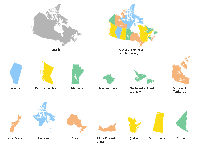
Use the map contours library "Canada" to design thematic maps using the ConceptDraw PRO diagramming and vector drawing software.
The vector stencils library "Canada" contains 15 map contours: Canada political map and map contours of Canada provinces and territories: Alberta, British Columbia, Manitoba, New Brunswick, Newfoundland and Labrador, Northwest Territories, Nova Scotia, Nunavut, Ontario, Prince Edward Island, Quebec, Saskatchewan, Yukon.
The map contours example "Design elements - Canada" is included in the Continent Maps solution from the Maps area of ConceptDraw Solution Park.
Canada map contours
- Canada political map | Geo Map - Canada - Ontario | Geo Map ...
- Geo Map - Canada | Geo Map - Canada - Ontario | Geo Map ...
- Geo Map - Canada - Ontario | Design elements - Management map ...
- Geo Map - Canada
- Canada political map | Geo Map - Asia - Papua New Guinea | Geo ...
- Geo Map - Canada - Ontario | Geo Map - Canada - Yukon | Geo Map ...
- Geo Map - Canada
- Geo Map - Canada - Yukon
- Geo Map - Canada | Canada political map | Canada - Vector stencils ...
- Manitoba Map Png
- USA Maps | Geo Map - Asia - Papua New Guinea | Geo Map ...
- Geo Map - Canada - Nova Scotia | Geo Map - Canada - Ontario ...
- Canada political map | Canada regions - Political map | European ...
- Geo Map - Canada - Ontario | Geo Map - Canada - British Columbia ...
- Quebec Map Vector Png
- Geo Map - Canada - Nova Scotia
- Vector Map Of Canada's 10 Provinces And 3 Territories
- Geo Map - Canada - Ontario | Vector Map of Germany | Geo Map ...
- Canada - Vector stencils library | Geo Map - Canada - British ...
- West Africa countries | Geo Map - South America Continent ...