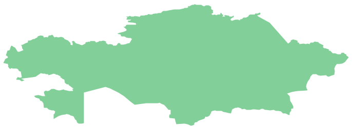
Geo Map - Asia - Kazakhstan
Kazakhstan, officially the Republic of Kazakhstan, is a contiguous transcontinental country in Central Asia, with its smaller part west of the Ural River in Eastern Europe. The vector stencils library Kazakhstan contains contours for ConceptDraw PRO diagramming and vector drawing software. This library is contained in the Continent Maps solution from Maps area of ConceptDraw Solution Park.Geo Map - Asia - Papua New Guinea
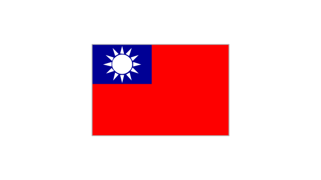
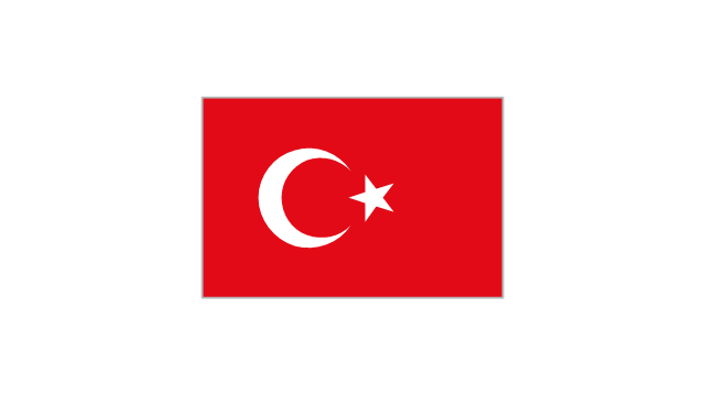
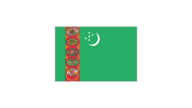
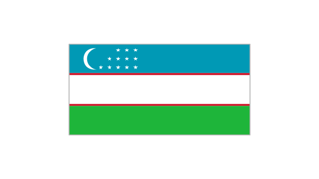
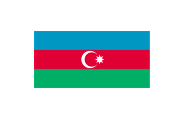
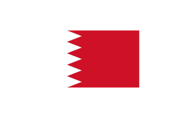
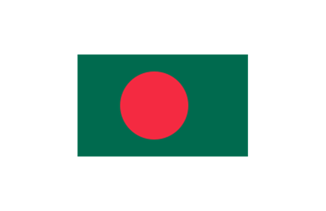
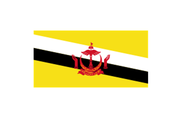
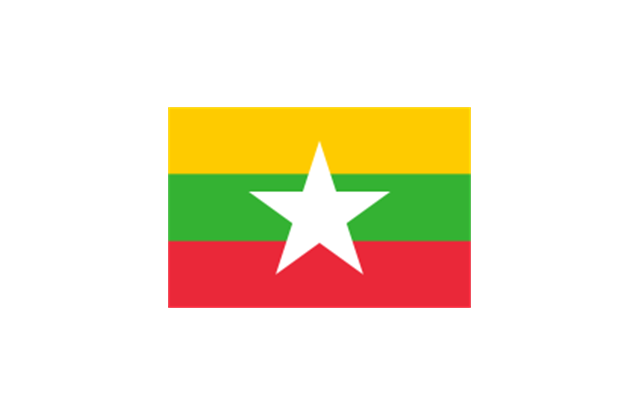
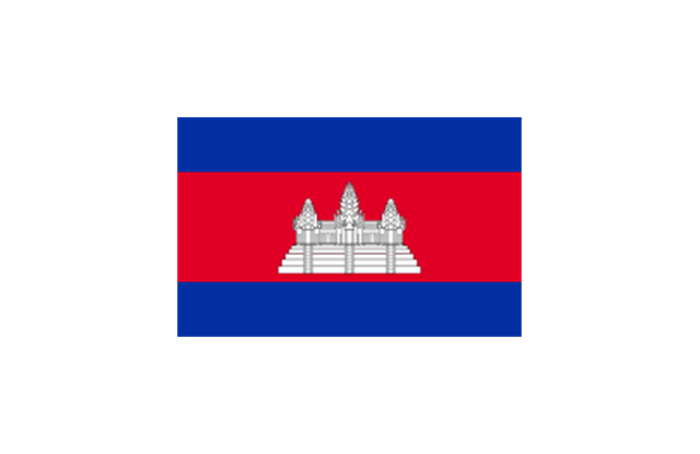
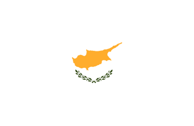
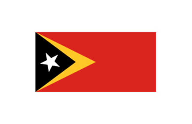
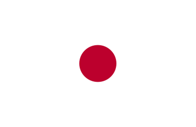
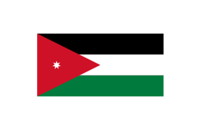
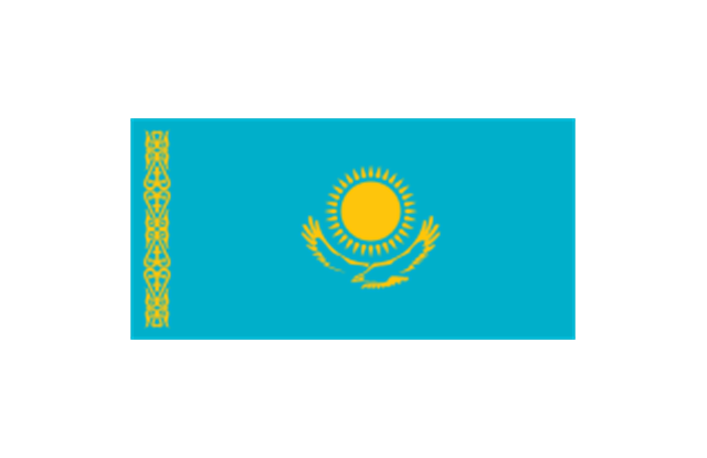
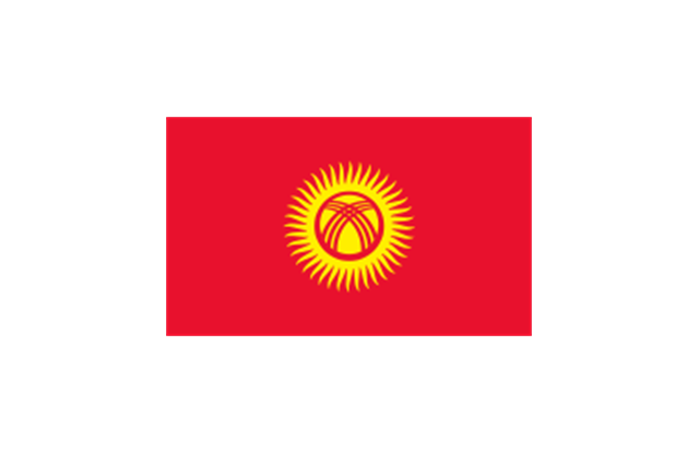
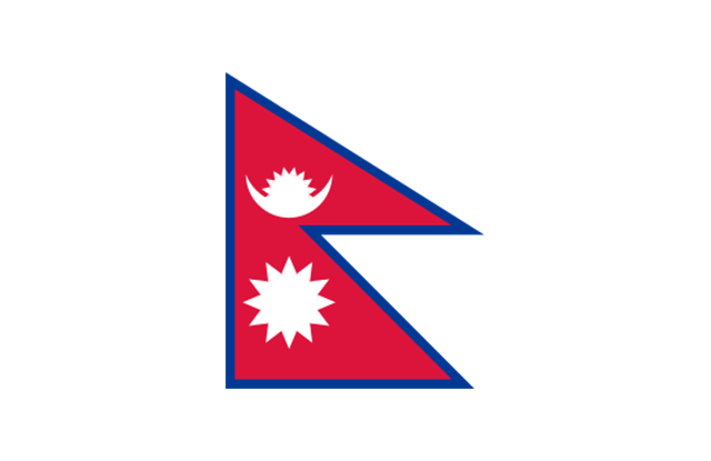
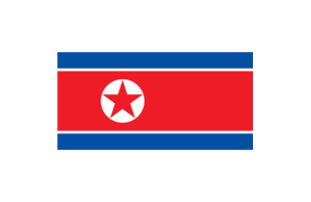
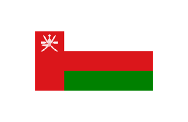
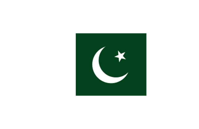
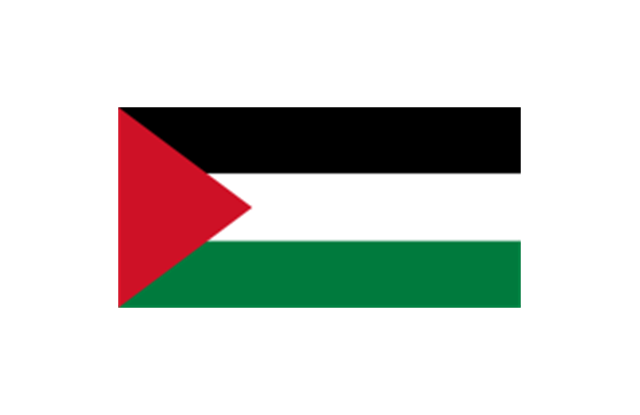
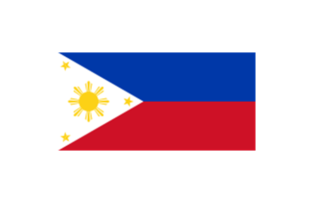
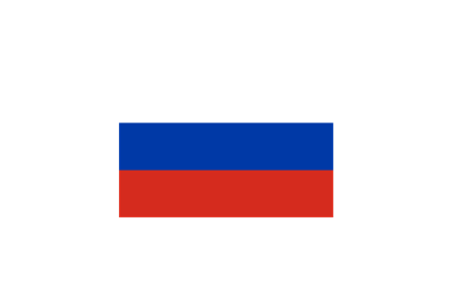
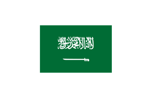
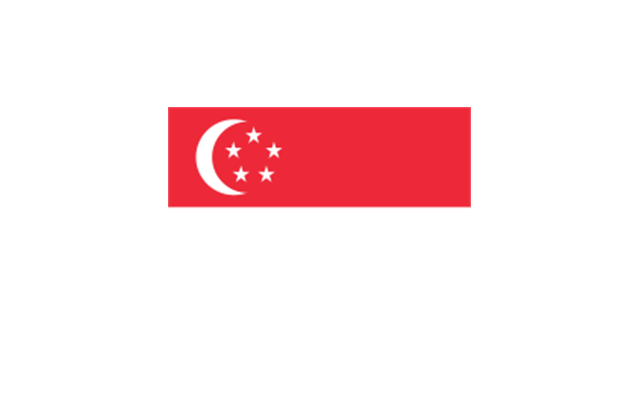
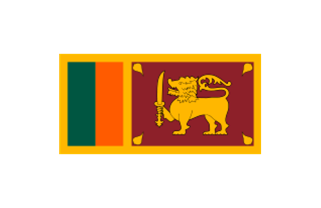
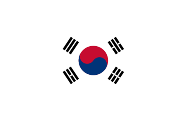
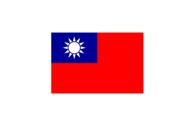
Papua New Guinea, officially named the Independent State of Papua New Guinea, is a country in Oceania that occupies the eastern half of the island of New Guinea (the western portion of the island is a part of the Indonesian provinces of Papua and West Papua) and numerous offshore islands. The vector stencils library Papua New Guinea contains contours for ConceptDraw PRO diagramming and vector drawing software. This library is contained in the Continent Maps solution from Maps area of ConceptDraw Solution Park.The stencils library "Asia flags" contains 49 clipart images of Asian state flags.
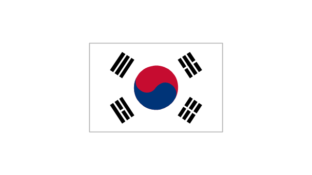
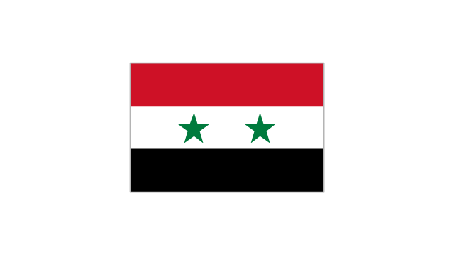
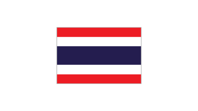
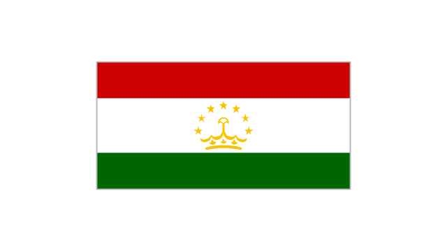
"... international and national flags used in Asia.
International: Flag of the Council of Europe, Flag of the Commonwealth of Independent States, Flag of the Organization of the Islamic Conference, Flag of the Organization of the Petroleum Exporting Countries, Flag of the Cooperation Council for the Arab States of the Gulf.
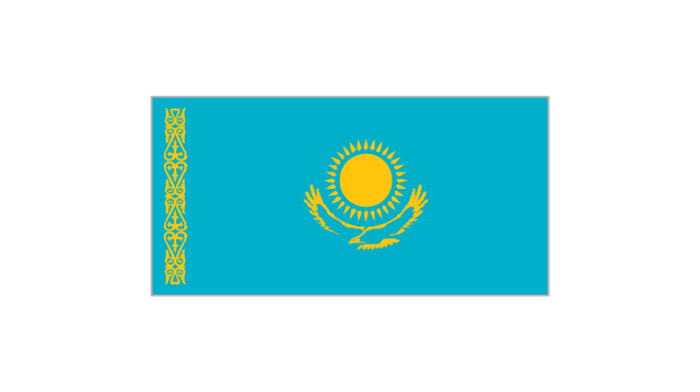
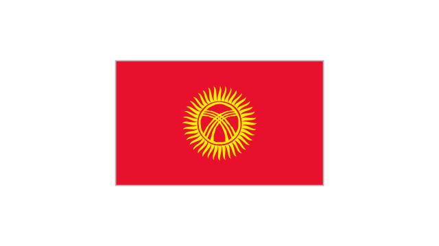
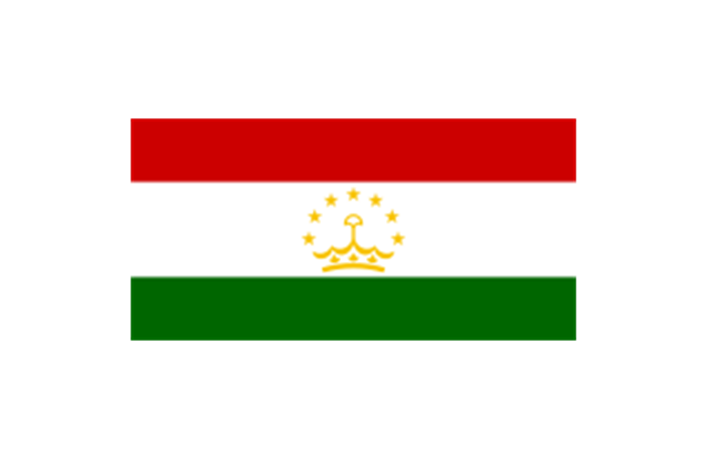
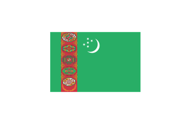
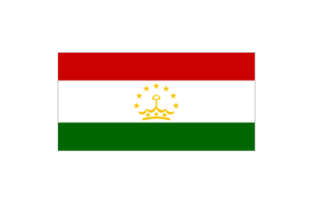
Central Asia: Flag of Kazakhstan, Flag of Kyrgyzstan, Flag of Tajikistan, Flag of Turkmenistan, Flag of Uzbekistan.
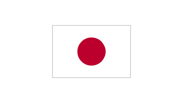
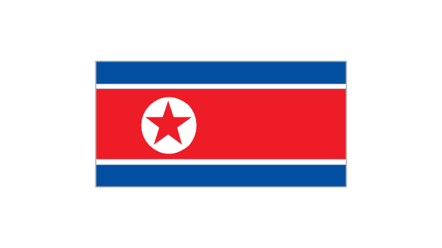
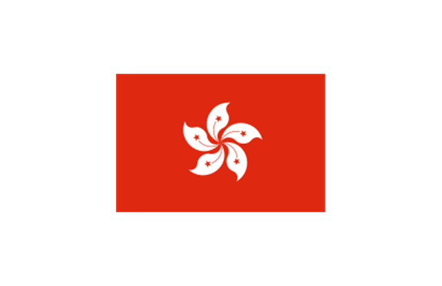
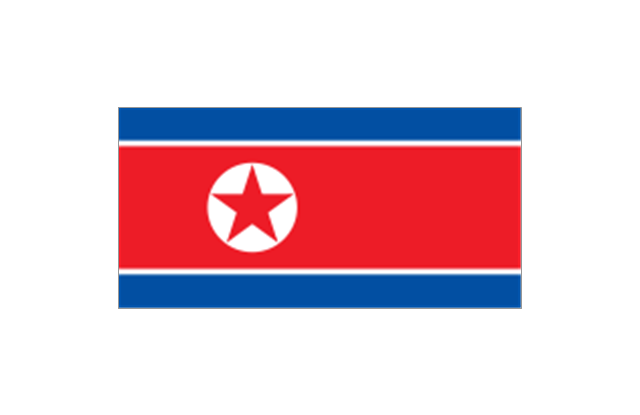
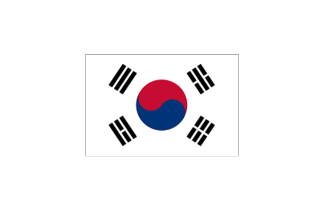
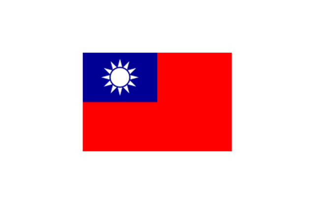
Eastern Asia: Flag of the People's Republic of China, Flag of Hong Kong (China), Flag of Japan, Flag of North Korea, Flag of South Korea, Flag of Macau (China), Flag of Mongolia, Flag of the Republic of China (Taiwan).
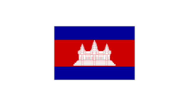
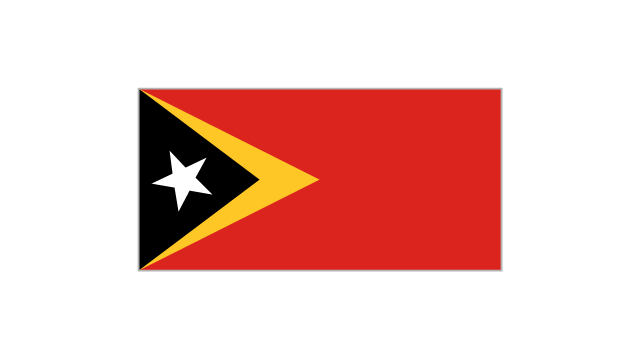
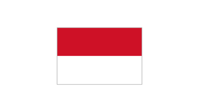
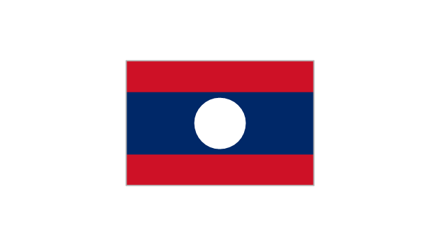
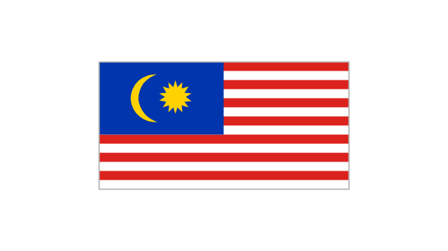
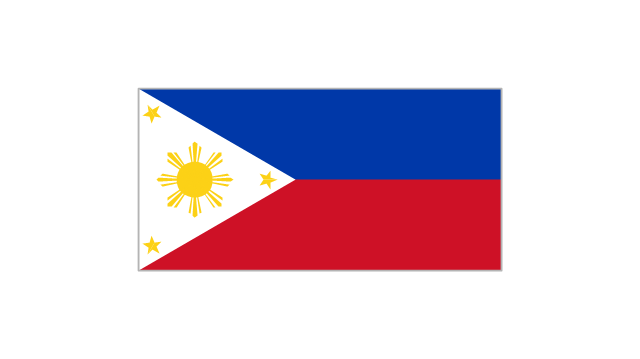
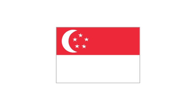
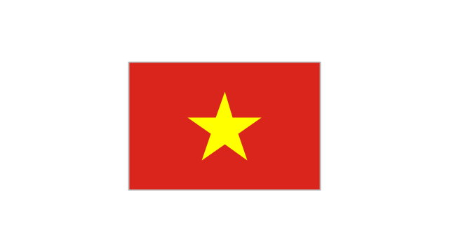
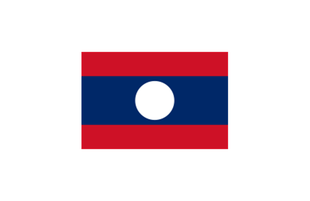
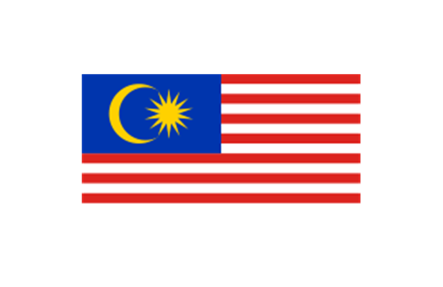
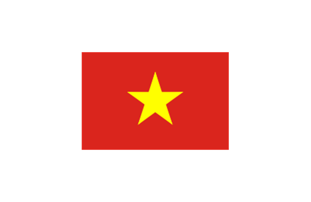
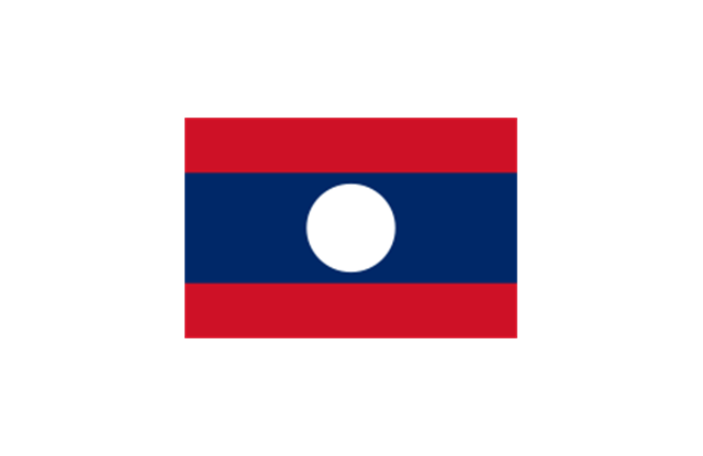
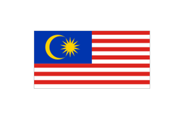
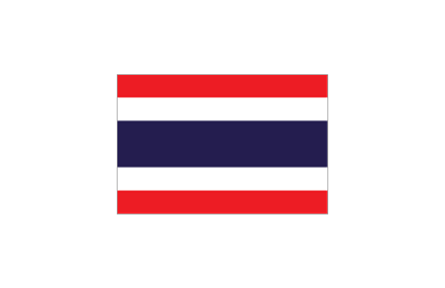
Southeast Asia: Flag of Brunei, Flag of Burma, Flag of Cambodia, Flag of Christmas Island (Australia), Flag of the Cocos (Keeling) Islands (Australia), Flag of East Timor, Flag of Indonesia, Flag of Laos, Flag of Malaysia, Flag of the Philippines, Flag of Singapore, Flag of Thailand, Flag of Vietnam.
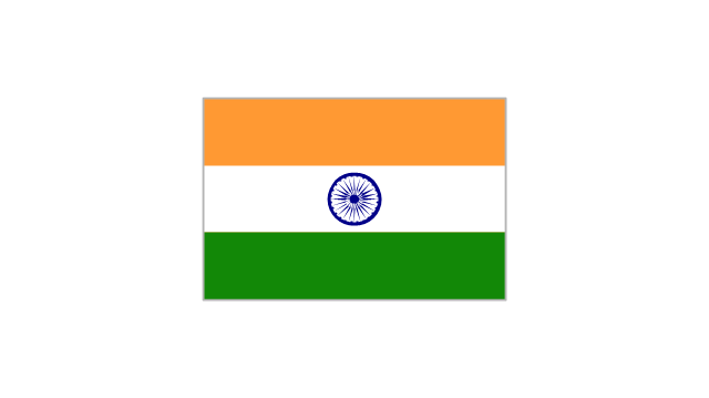
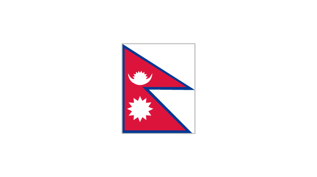
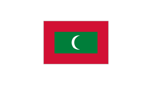
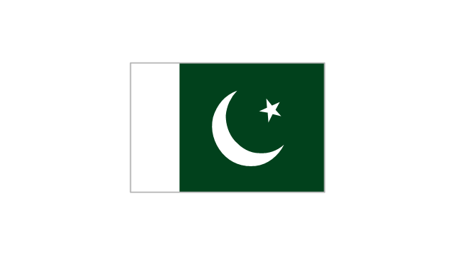
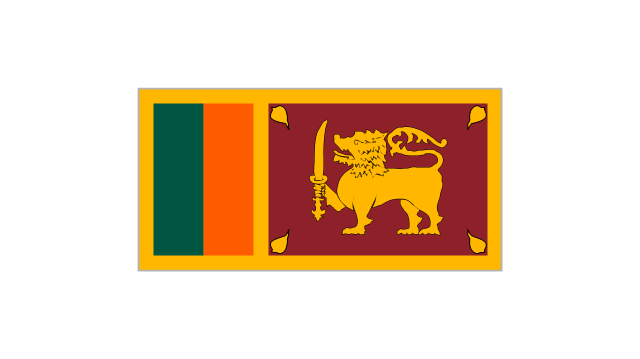
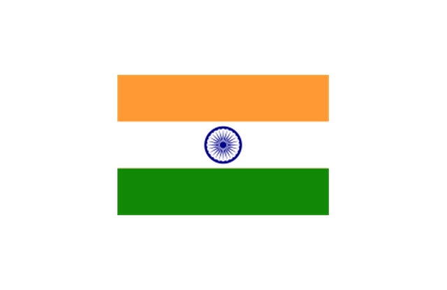
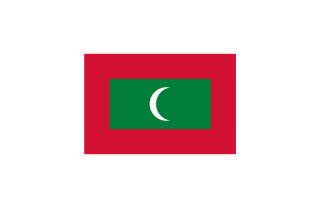
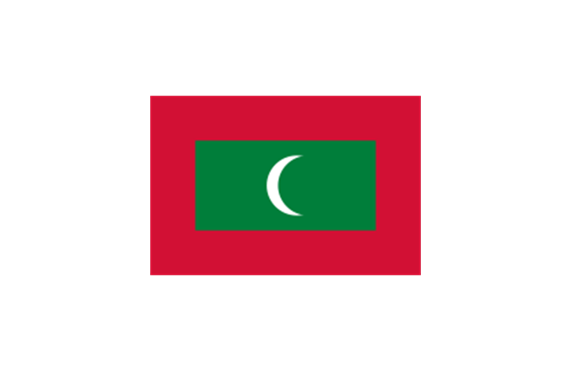
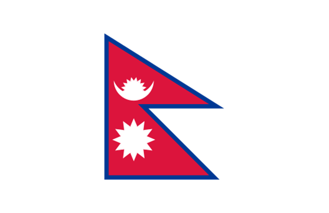
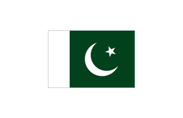
Southern Asia: Flag of Bangladesh, Flag of Bhutan, Flag of the British Indian Ocean Territory (United Kingdom), Flag of India, Flag of Maldives, Flag of Nepal, Flag of Pakistan, Flag of Sri Lanka.
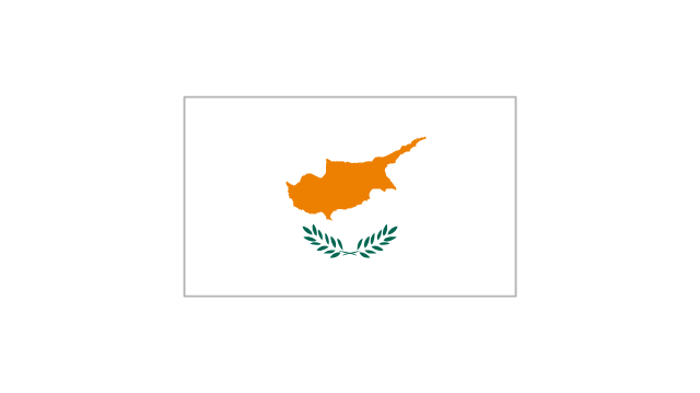
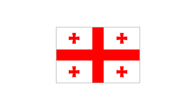
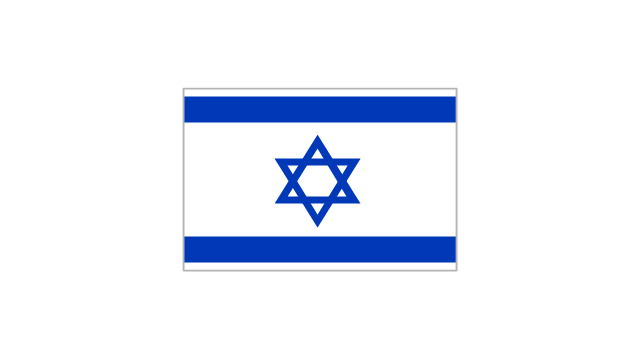
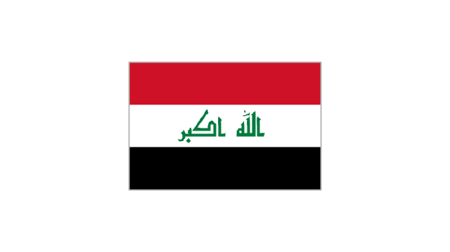
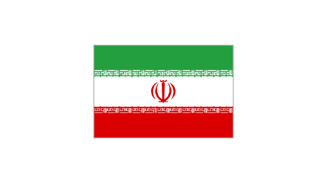
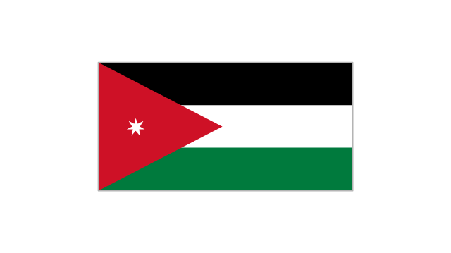
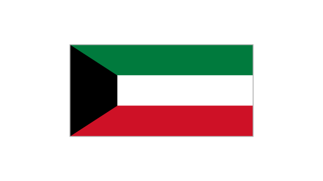
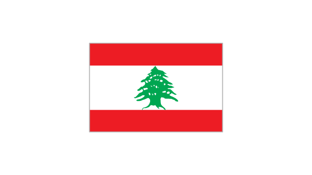
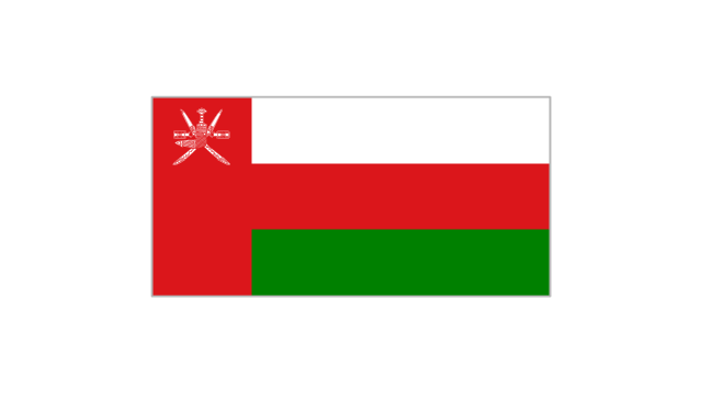
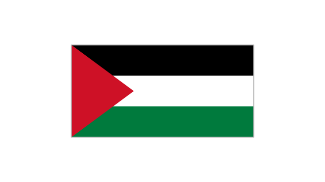
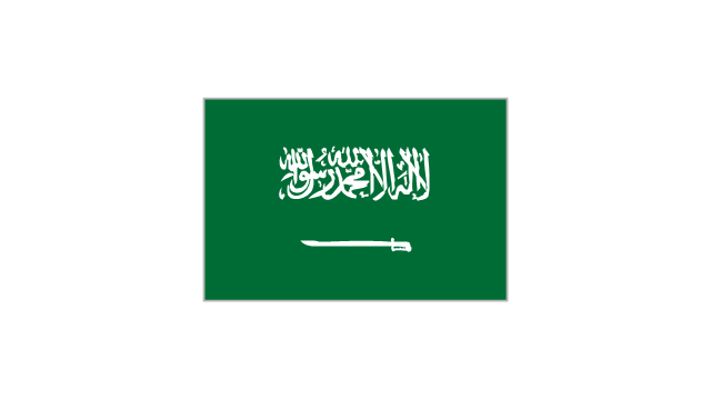
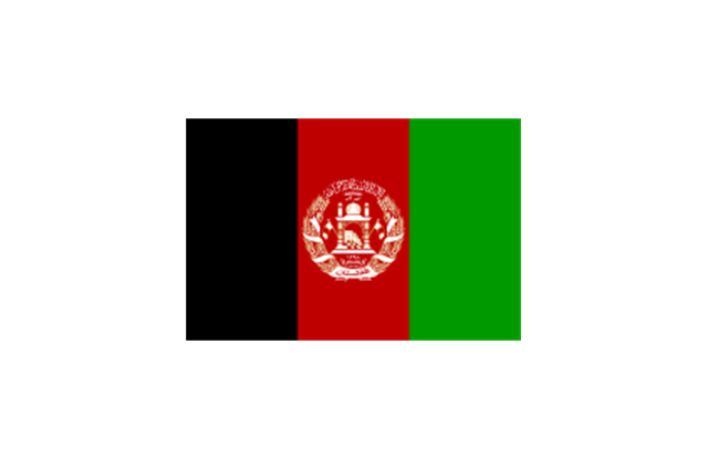
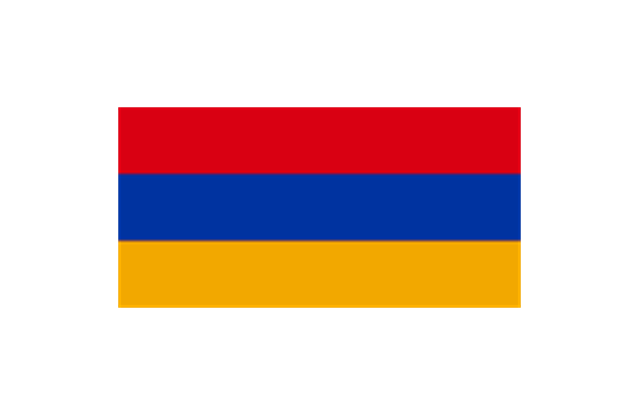
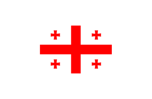
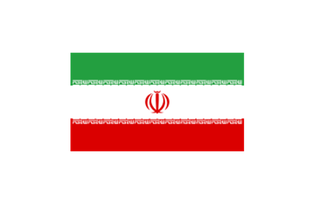
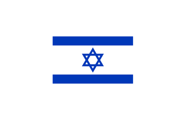
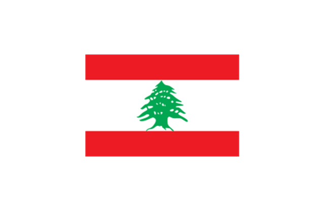
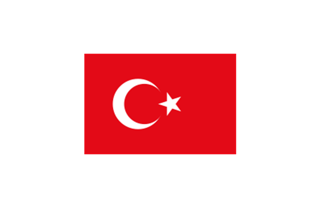
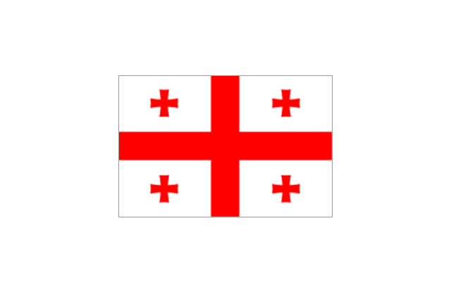
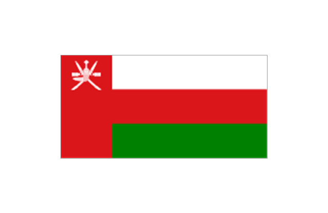
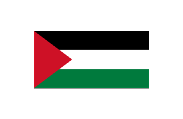
Western Asia: Flag of Abkhazia, Flag of Afghanistan, Flag of Akrotiri and Dhekelia (United Kingdom), Flag of Armenia, Flag of Azerbaijan, Flag of Bahrain, Flag of Cyprus, Flag of Egypt, Flag of Georgia, Flag of Iran, Flag of Iraq, Flag of Israel, Flag of Jordan, Flag of Kuwait, Flag of Lebanon, Flag of Nagorno-Karabakh, Flag of Northern Cyprus, Flag of Oman, Flag of Palestine, Flag of Qatar, Flag of Saudi Arabia, Flag of South Ossetia, Flag of Syria, Flag of Turkey, Flag of the United Arab Emirates, Flag of Yemen.
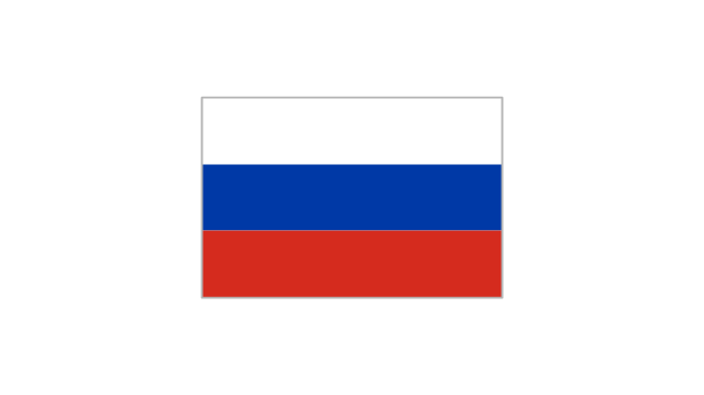
Northern Asia: Flag of Russia." [Flags of Asia. Wikipedia]
The clip art example "Asia flags - Stencils library" was created using the ConceptDraw PRO diagramming and vector drawing software extended with the Continent Maps solution from the Maps area of ConceptDraw Solution Park.
www.conceptdraw.com/ solution-park/ maps-continent
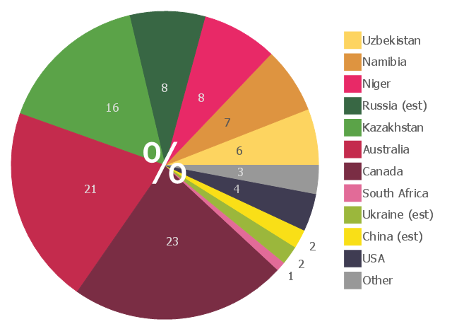
This pie chart sample shows the 2007 world uranium mining by countries.
It was designed on the base of the Wikimedia Commons file: 2007Uranium.PNG.[commons.wikimedia.org/ wiki/ File:2007Uranium.PNG]
This file is licensed under the Creative Commons Attribution 3.0 Unported license. [creativecommons.org/ licenses/ by/ 3.0/ deed.en]
"Uranium mining is the process of extraction of uranium ore from the ground. The worldwide production of uranium in 2009 amounted to 50,572 tonnes. Kazakhstan, Canada, and Australia are the top three producers and together account for 63% of world uranium production. Other important uranium producing countries in excess of 1,000 tons per year are Namibia, Russia, Niger, Uzbekistan, and the United States.
Uranium ores are normally processed by grinding the ore materials to a uniform particle size and then treating the ore to extract the uranium by chemical leaching. The milling process commonly yields dry powder-form material consisting of natural uranium, "yellowcake," which is sold on the uranium market as U3O8.
A prominent use of uranium from mining is as fuel for nuclear power plants." [Uranium mining. Wikipedia]
The pie chart example "2007 World uranium mining" was created using the ConceptDraw PRO diagramming and vector drawing software extended with the Pie Charts solution of the Graphs and Charts area in ConceptDraw Solution Park.
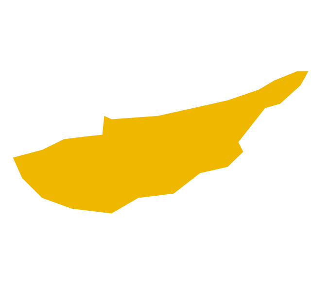
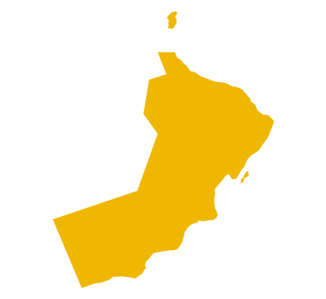
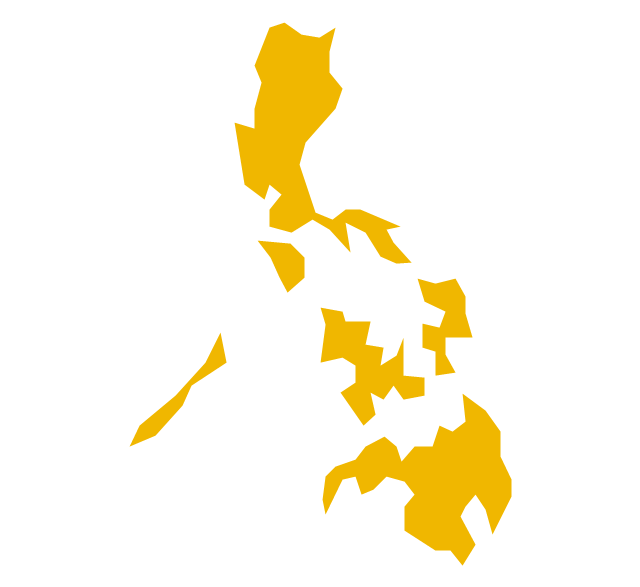
The vector stencils library "Asia" contains 47 country contours for drawing thematic maps of Asia.
Use it in your spatial infographics for visual representation of geospatial information, statistics and quantitative data in the ConceptDraw PRO diagramming and vector drawing software extended with the Spatial Infographics solution from the area "What is Infographics" of ConceptDraw Solution Park.
Use it in your spatial infographics for visual representation of geospatial information, statistics and quantitative data in the ConceptDraw PRO diagramming and vector drawing software extended with the Spatial Infographics solution from the area "What is Infographics" of ConceptDraw Solution Park.
The vector stencils library "Asia" contains 57 Asian state map contours for drawing thematic and political maps of Asia. Use it for visual representation of geospatial information, statistics and quantitative data.
"Asia is the Earth's largest and most populous continent, located primarily in the eastern and northern hemispheres. ... Countries: 49 (and 5 disputed)." [Asia. Wikipedia]
The state map contours example "Asia - Vector stencils library" was created using the ConceptDraw PRO diagramming and vector drawing software extended with the Continent Maps solution from the Maps area of ConceptDraw Solution Park.
Geo Map - Asia - Thailand
Thailand, officially the Kingdom of Thailand, is a country located at the centre of the Indochina peninsula in Southeast Asia. The vector stencils library Thailand contains contours for ConceptDraw PRO diagramming and vector drawing software. This library is contained in the Continent Maps solution from Maps area of ConceptDraw Solution Park.Geo Map - Asia - Pakistan
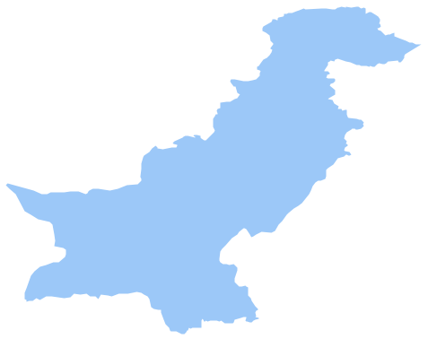
Pakistan, officially the Islamic Republic of Pakistan, is a sovereign country in South Asia. The vector stencils library Pakistan contains contours for ConceptDraw PRO diagramming and vector drawing software. This library is contained in the Continent Maps solution from Maps area of ConceptDraw Solution Park.Geo Map - Asia - Indonesia
Indonesia, officially the Republic of Indonesia, is a sovereign state in Southeast Asia and Oceania. The vector stencils library Indonesia contains contours for ConceptDraw PRO diagramming and vector drawing software. This library is contained in the Continent Maps solution from Maps area of ConceptDraw Solution Park.Geo Map - Asia - Turkey
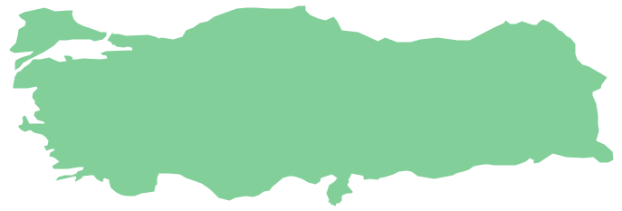
Turkey, officially the Republic of Turkey, is a contiguous transcontinental country, located mostly on Anatolia in Western Asia, and on East Thrace in Southeastern Europe. The vector stencils library Turkey contains contours for ConceptDraw PRO diagramming and vector drawing software. This library is contained in the Continent Maps solution from Maps area of ConceptDraw Solution Park.Geo Map - Asia - Japan
Japan is an island nation in East Asia. Located in the Pacific Ocean, it lies to the east of the Sea of Japan, China, North Korea, South Korea and Russia, stretching from the Sea of Okhotsk in the north to the East China Sea and Taiwan in the south. The vector stencils library Japan contains contours for ConceptDraw PRO diagramming and vector drawing software. This library is contained in the Continent Maps solution from Maps area of ConceptDraw Solution Park.The stencils library "Flags" contains 204 clipart images of state flags.
"There are two separate meanings for the term state flag in vexillology - the flag of the government of a sovereign state, and the flag of an individual subnational state, such as a U.S. state, or a Russian oblast. ...
A state flag is a variant of a national flag (or occasionally a completely different design) specifically designated and restricted by law or custom (theoretically or actually) to use by a country's government or its agencies. For this reason they are sometimes referred to as government flags. In many countries the state flag and the civil flag (as flown by the general public) are identical, but in other countries, notably those in Latin America, central Europe, and Scandinavia, the state flag is a more complex version of the national flag, often featuring the national coat of arms or some other emblem as part of the design. Scandinavian countries also use swallowtailed state flags, to further differentiate them from civil flags.
In addition, some countries have state ensigns, separate flags for use by non-military government ships such as guard vessels. For example, government ships in the United Kingdom fly the blue ensign." [State flag. Wikipedia]
The clip art example "Flags - Stencils library" was created using the ConceptDraw PRO diagramming and vector drawing software extended with the Continent Maps solution from the Maps area of ConceptDraw Solution Park.
www.conceptdraw.com/ solution-park/ maps-continent
Geo Map - Asia - Kyrgyzstan
Kyrgyzstan, officially the Kyrgyz Republic, is a country located in Central Asia. The vector stencils library Kyrgyzstan contains contours for ConceptDraw PRO diagramming and vector drawing software. This library is contained in the Continent Maps solution from Maps area of ConceptDraw Solution Park.The vector stencils library "Asia" contains 57 Asian state map contours for drawing thematic and political maps of Asia. Use it for visual representation of geospatial information, statistics and quantitative data.
"Asia is the Earth's largest and most populous continent, located primarily in the eastern and northern hemispheres. ... Countries: 49 (and 5 disputed)." [Asia. Wikipedia]
The state map contours example "Asia - Vector stencils library" was created using the ConceptDraw PRO diagramming and vector drawing software extended with the Continent Maps solution from the Maps area of ConceptDraw Solution Park.
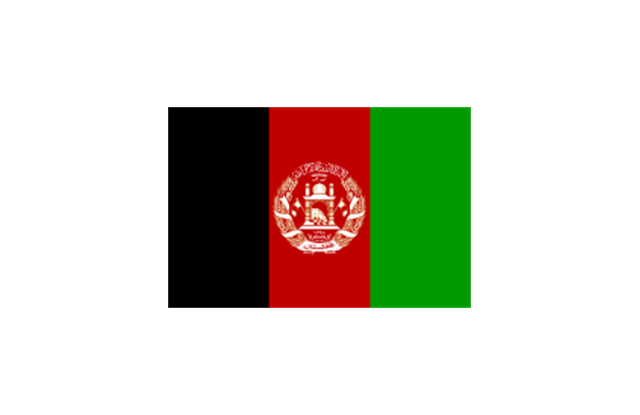
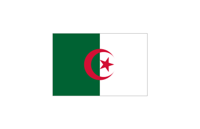
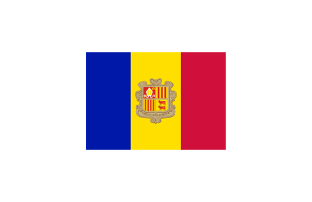
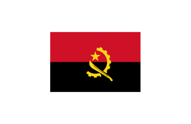
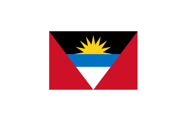
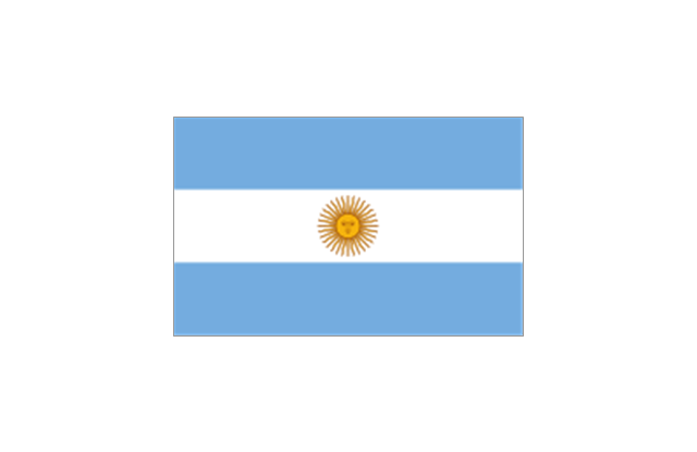
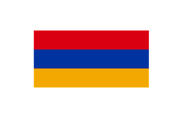
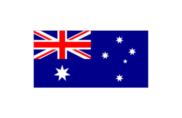
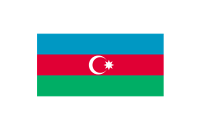
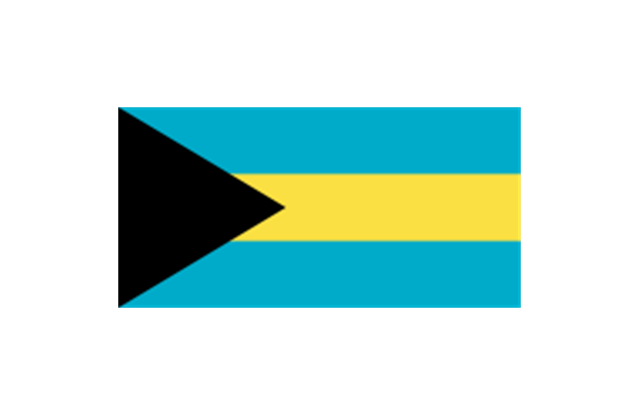
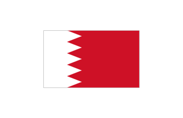
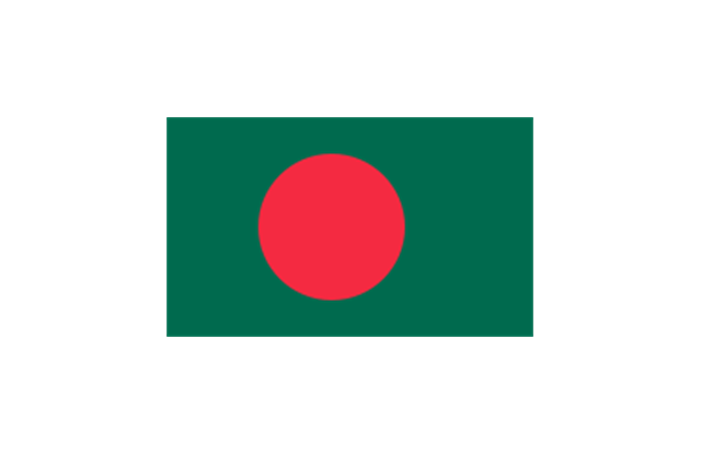
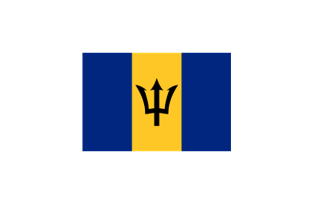
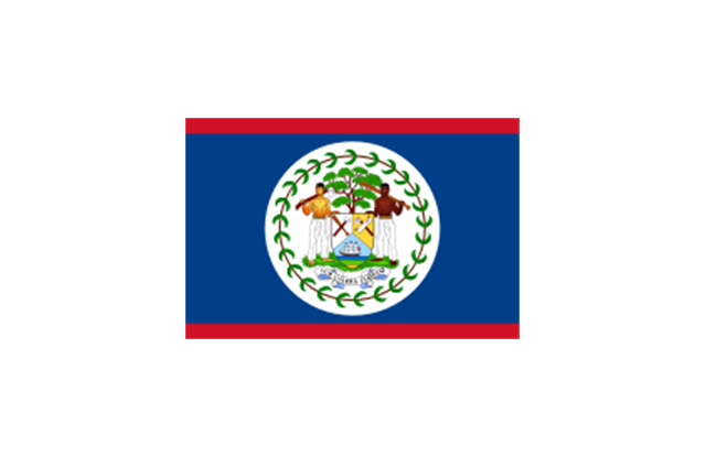
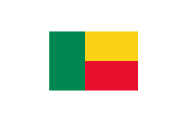
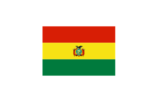
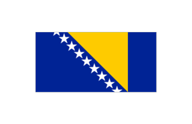
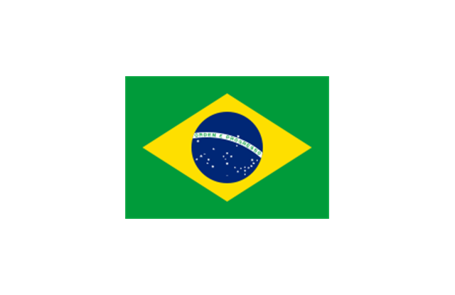
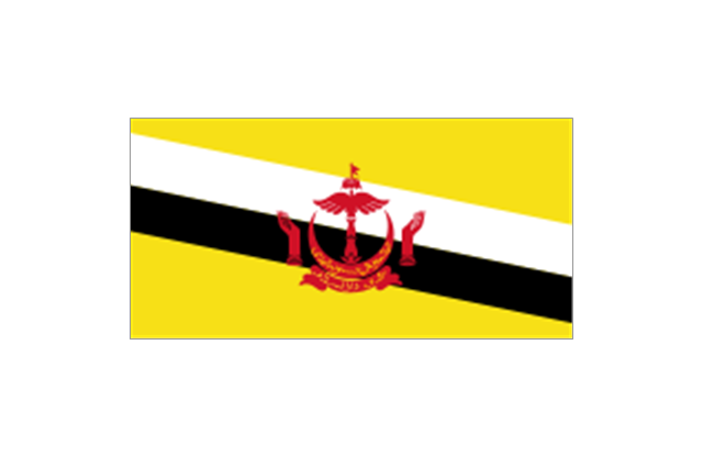
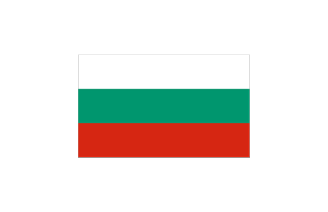
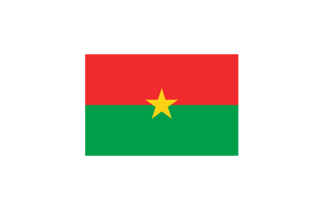
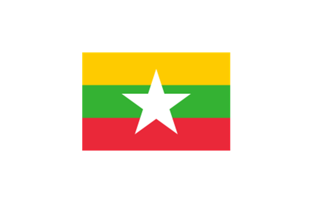
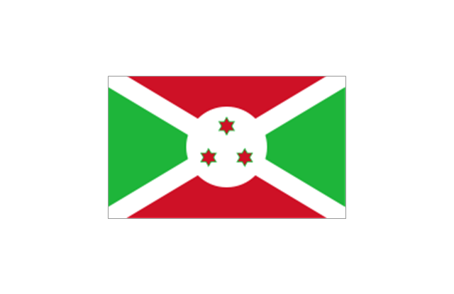
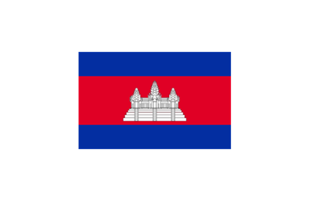
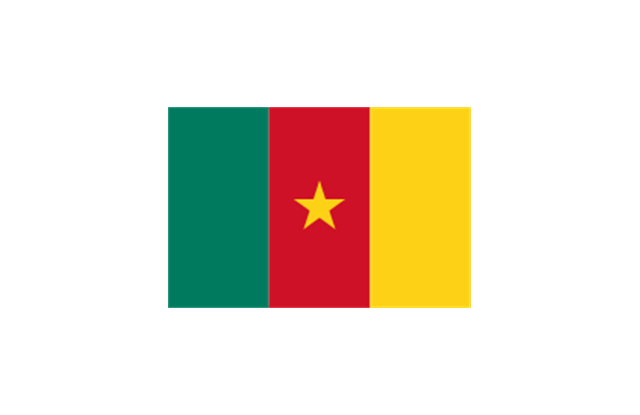
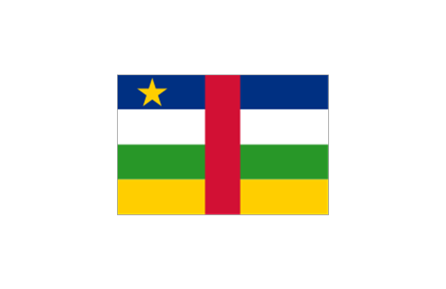
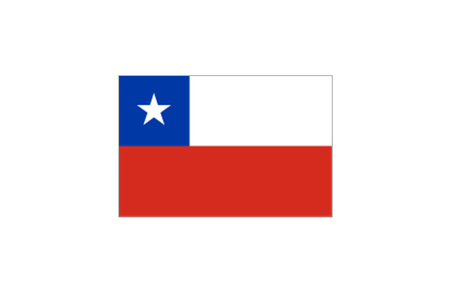
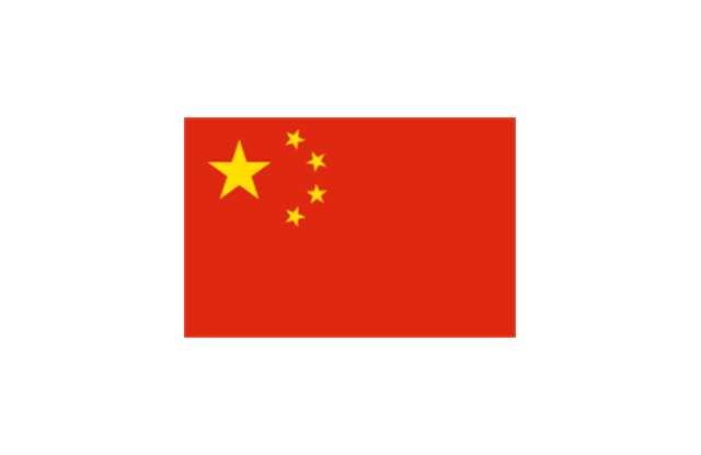
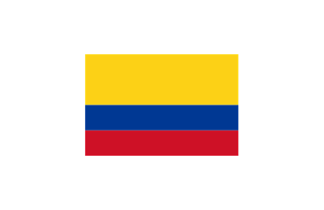
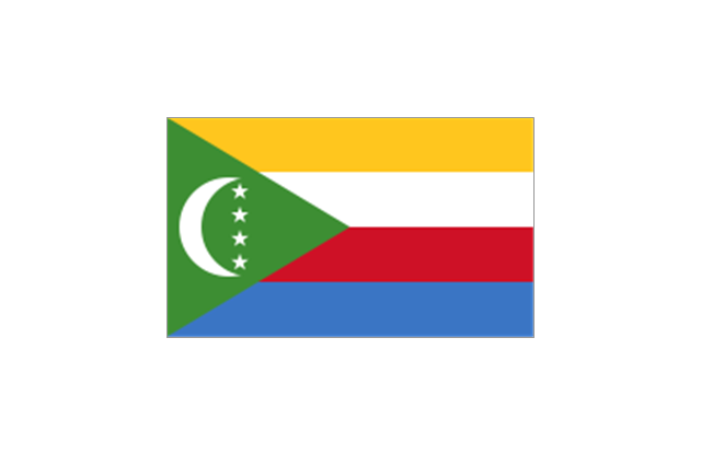
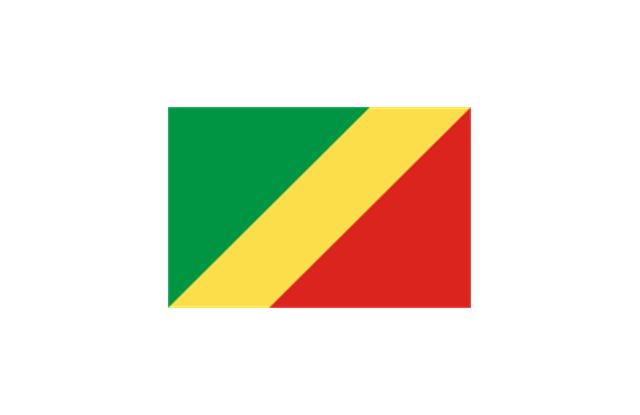
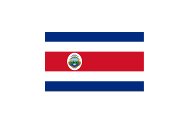
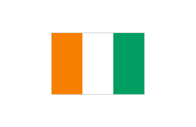
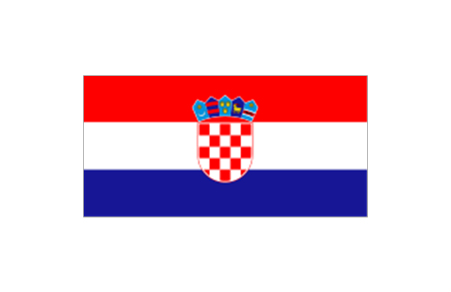
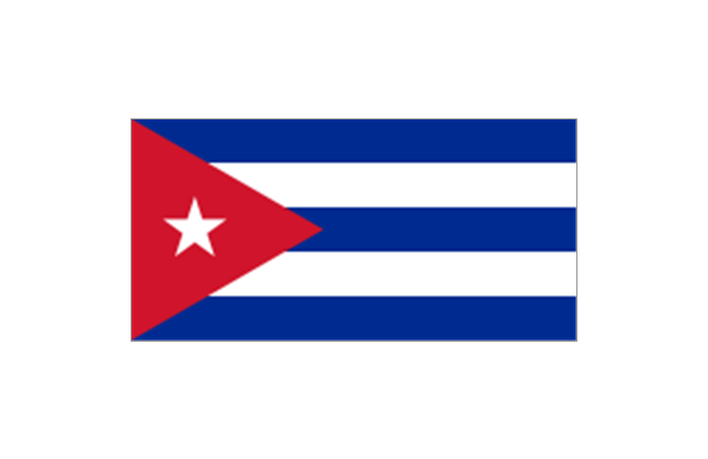
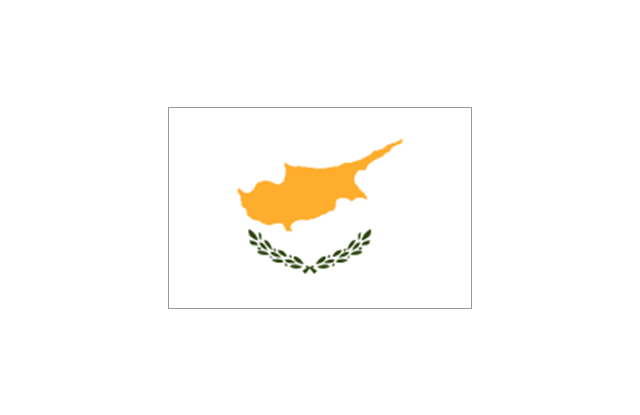
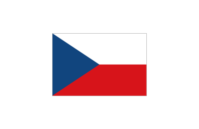
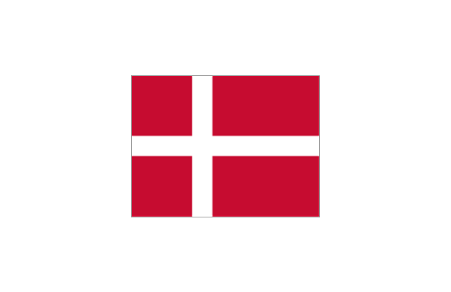
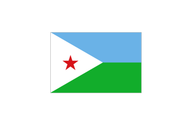
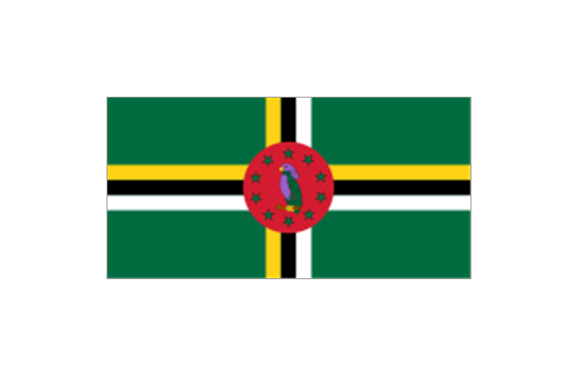
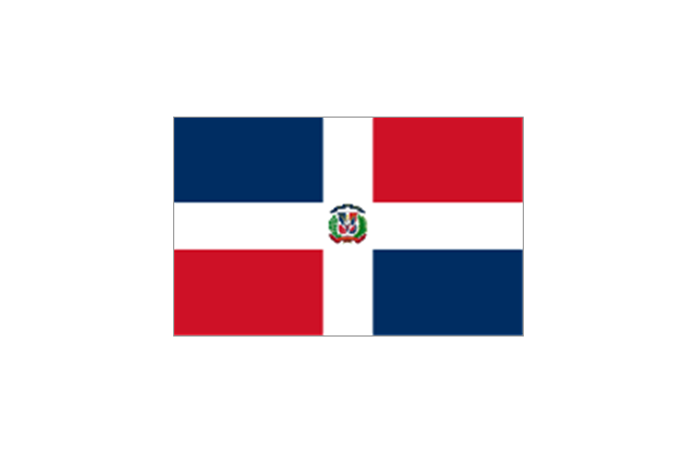
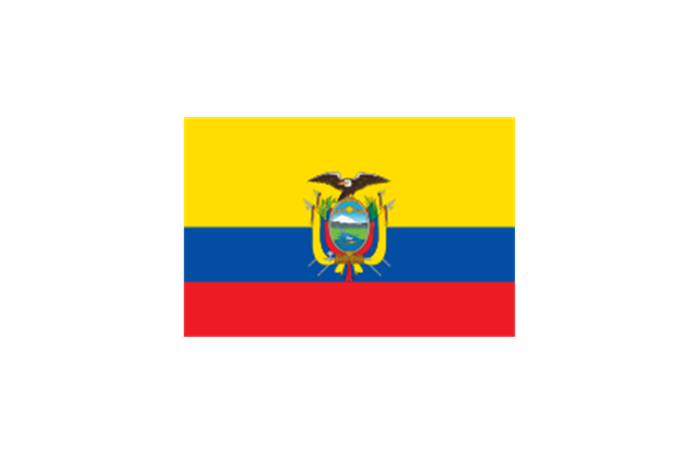
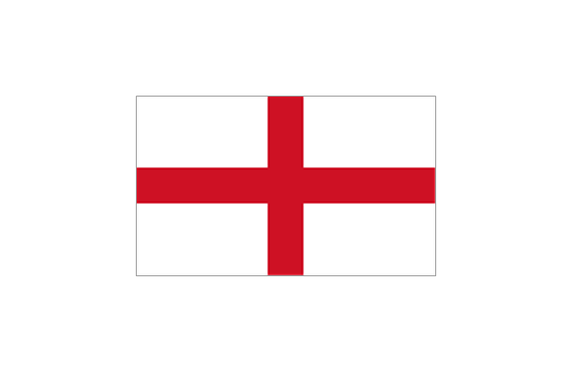
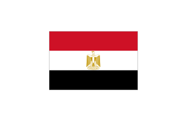
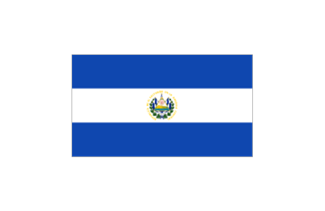
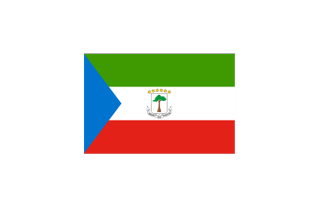
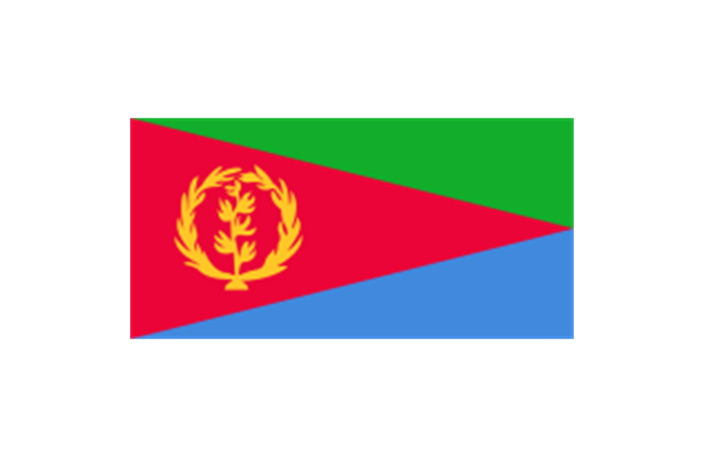
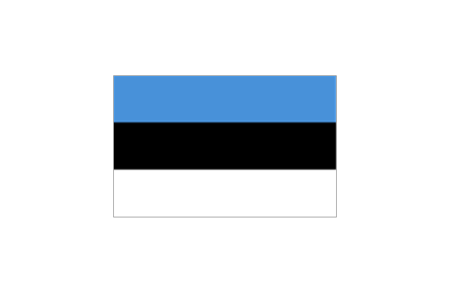
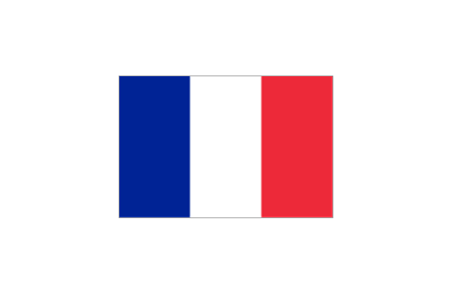
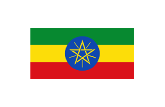
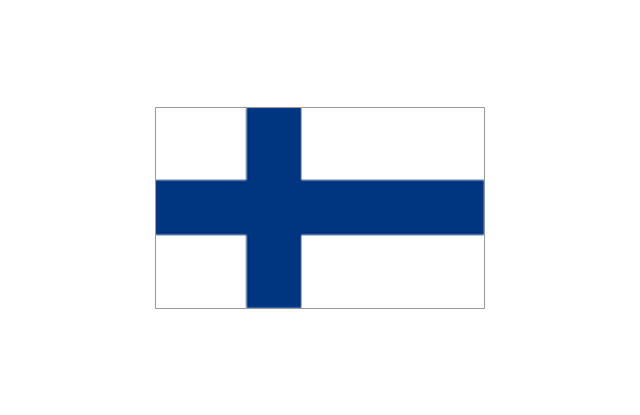
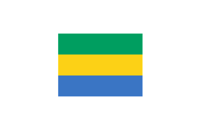
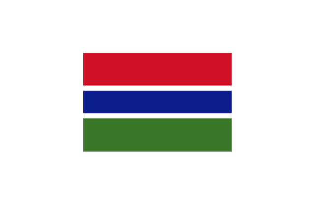
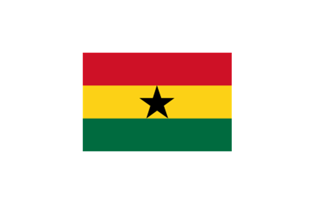
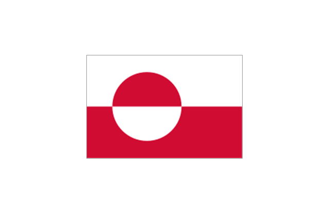
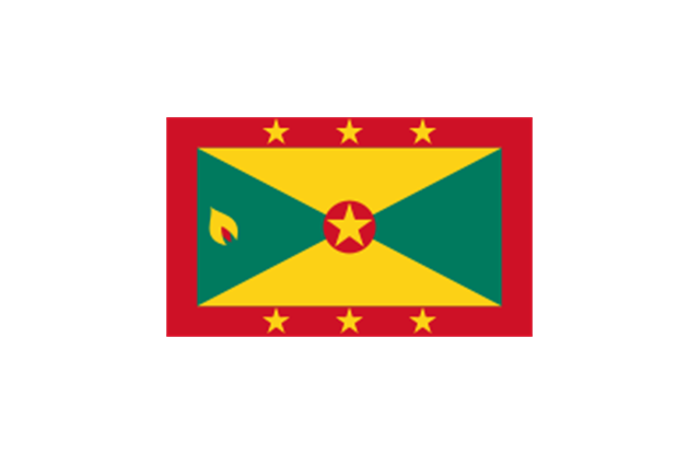
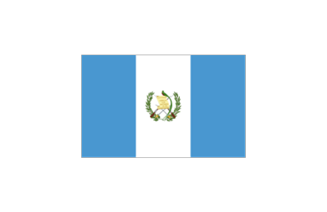
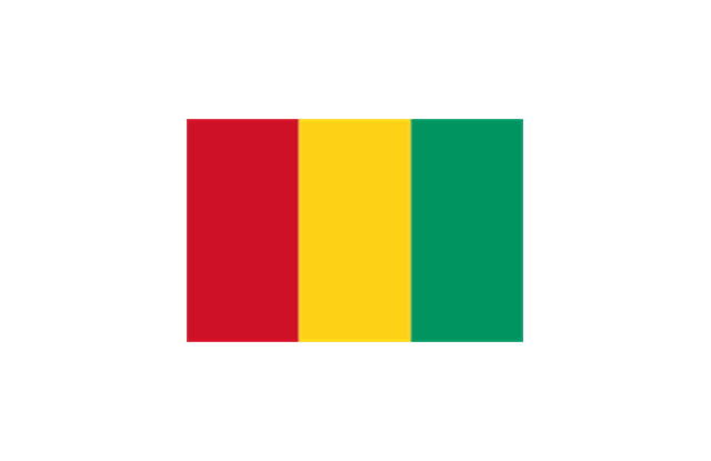
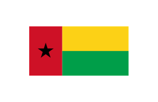
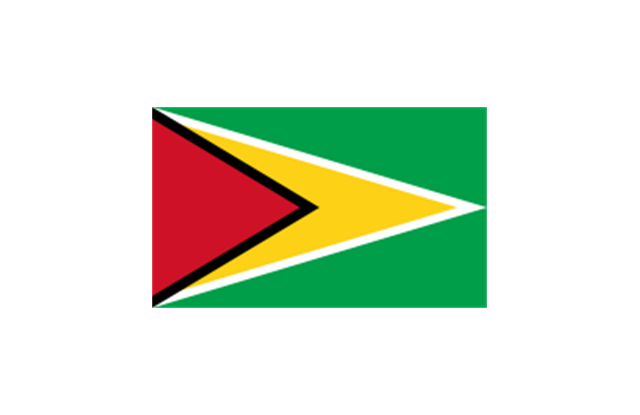
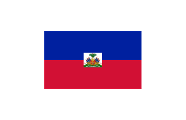
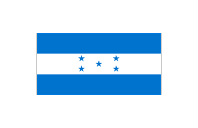
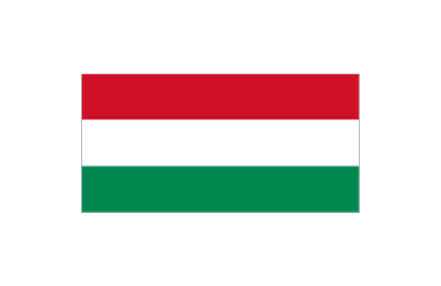
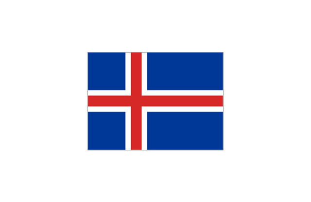
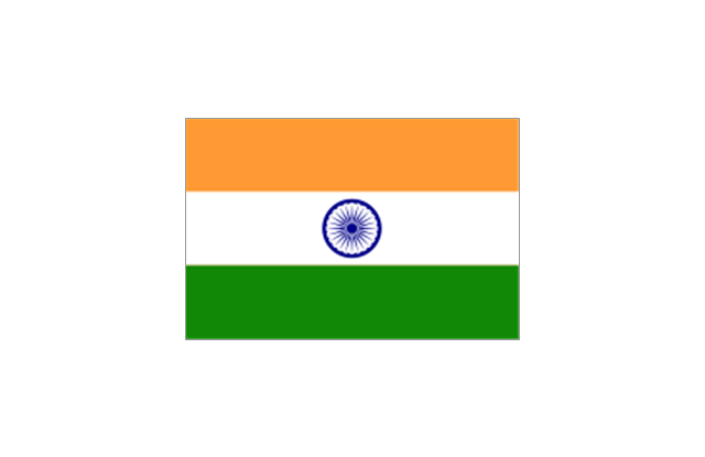
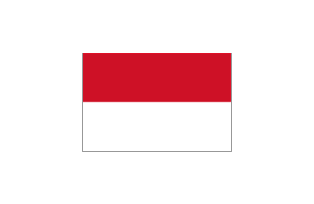
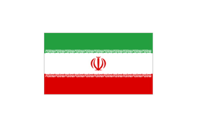
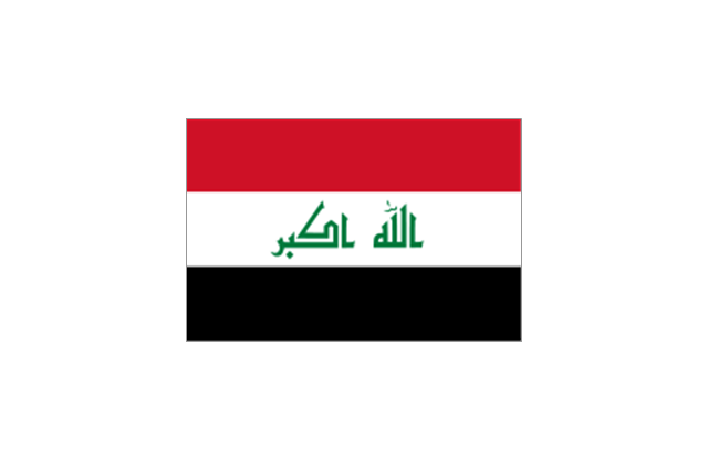
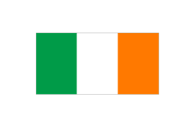
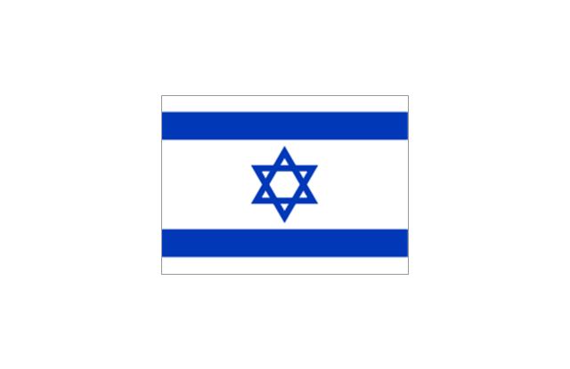
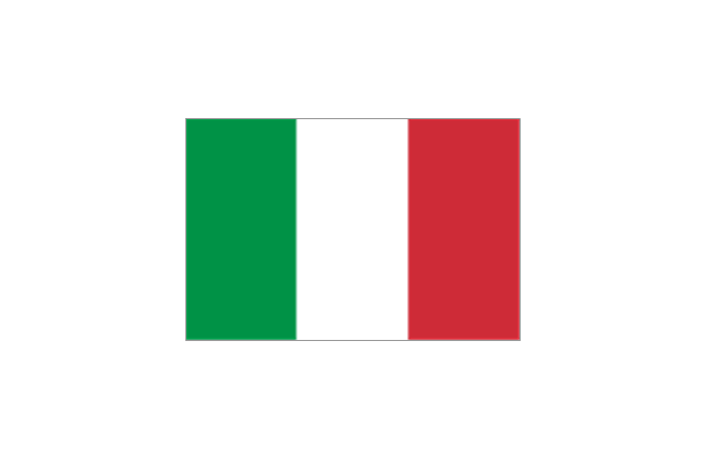
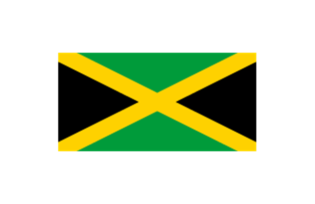
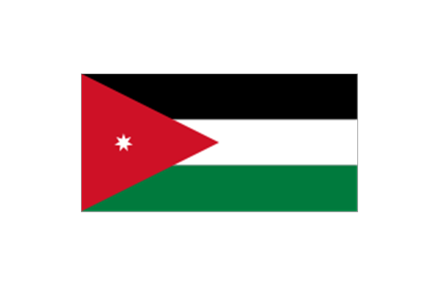
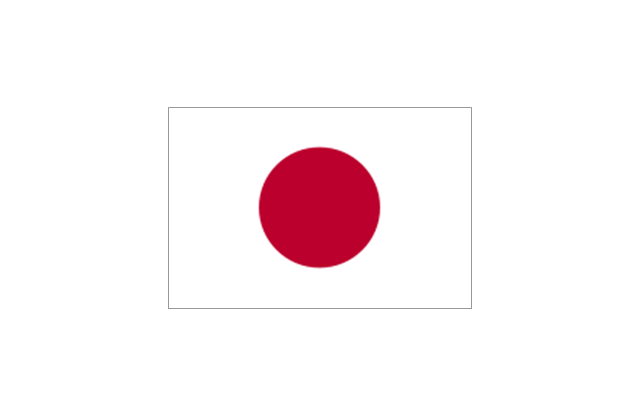
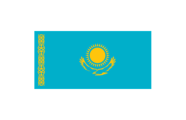
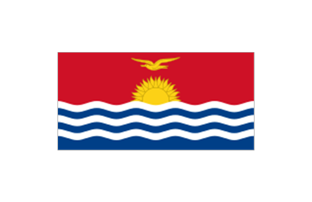
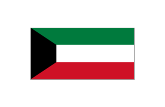
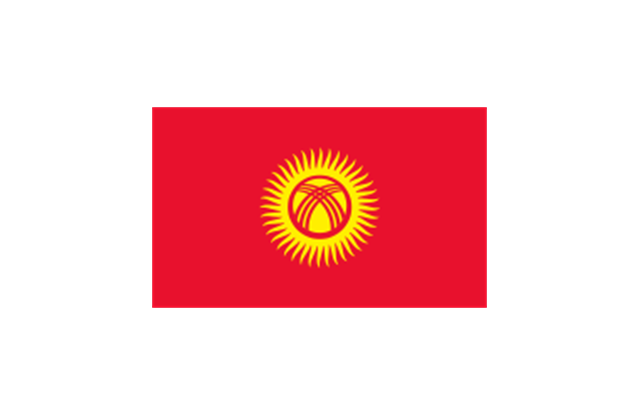
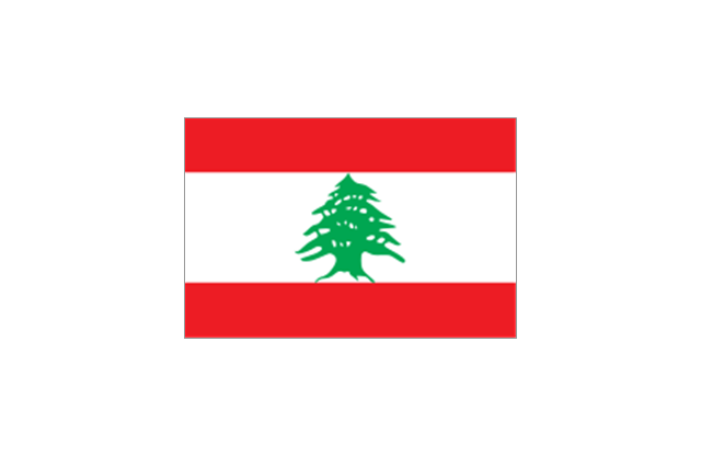
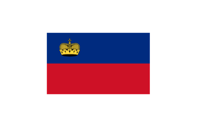
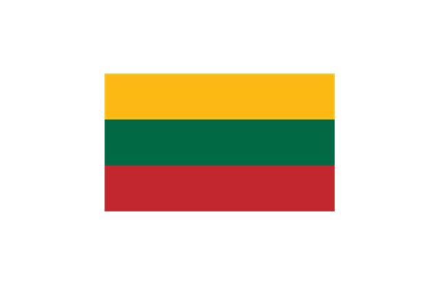
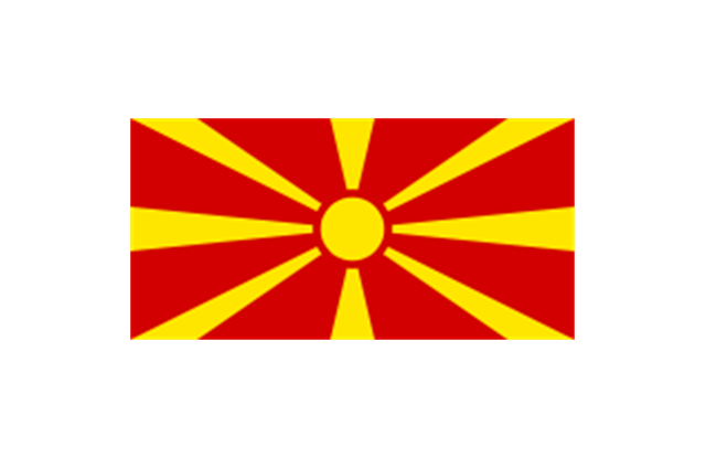
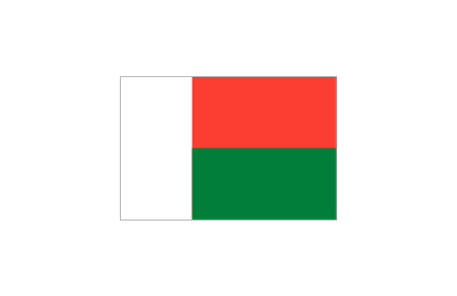
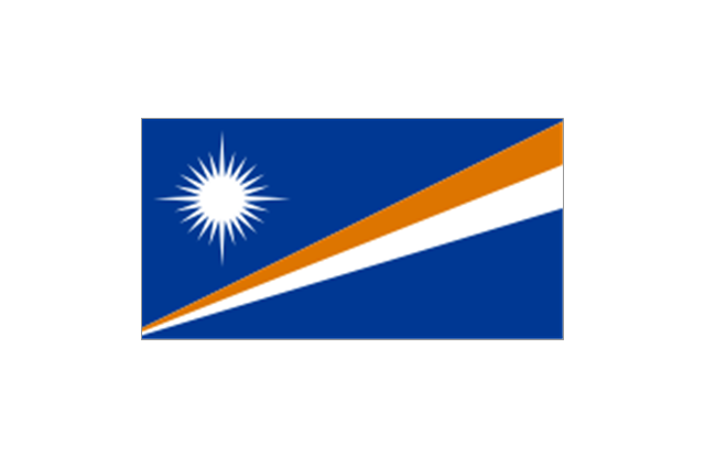
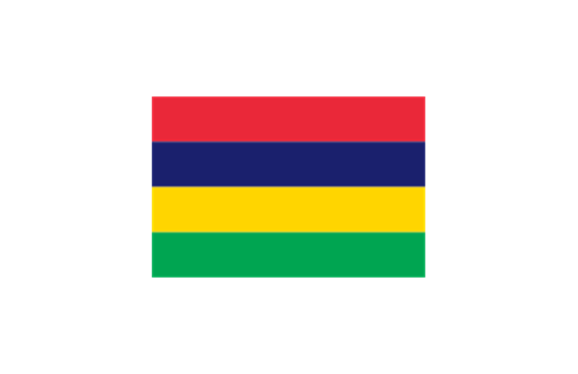
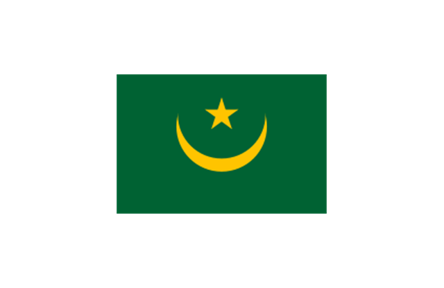
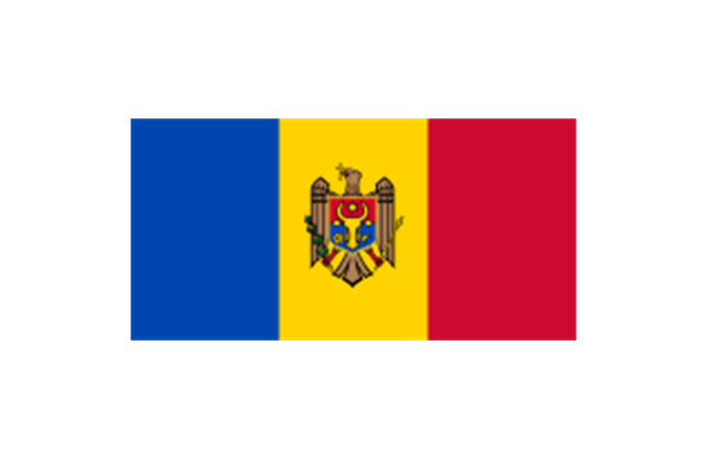
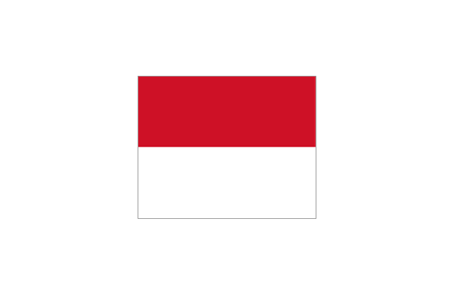
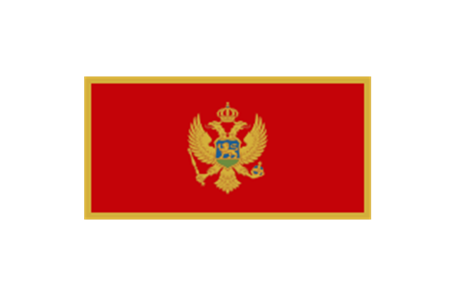
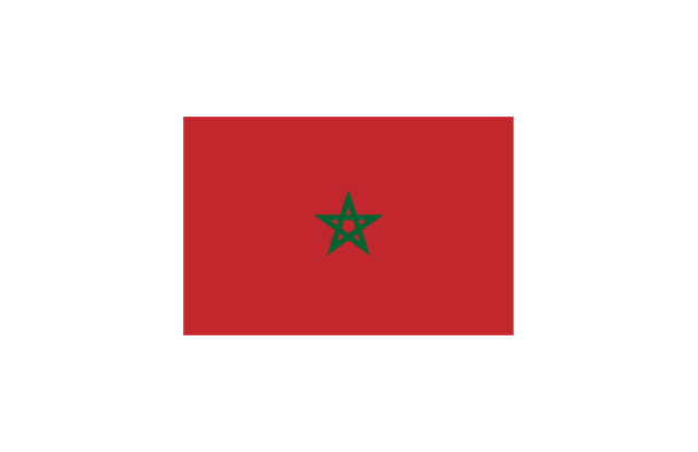
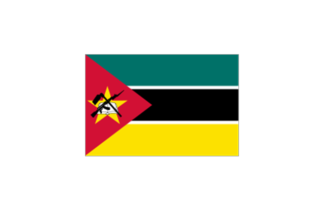
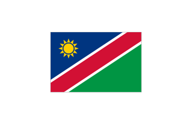
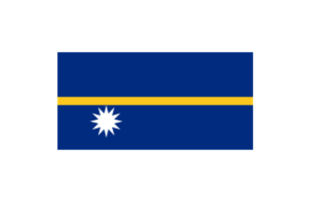
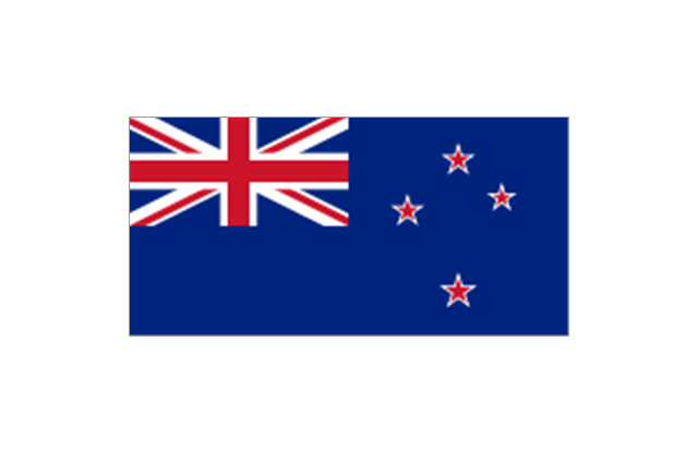
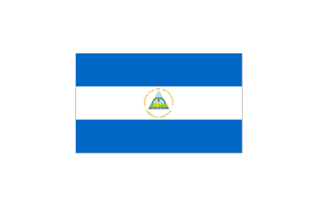
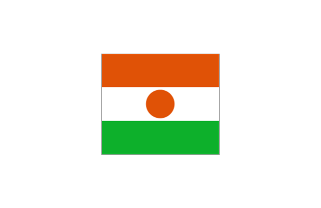
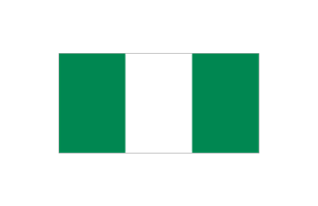
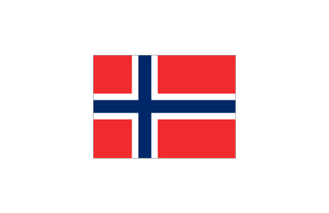
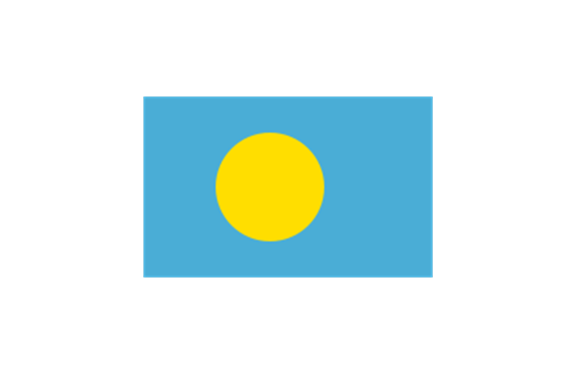
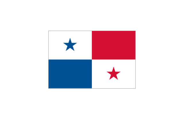
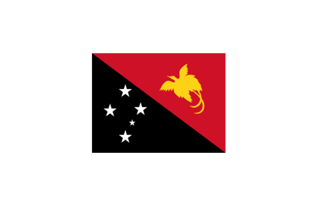
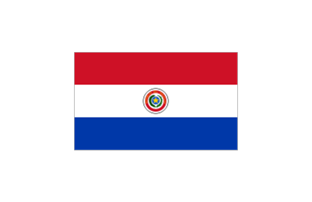
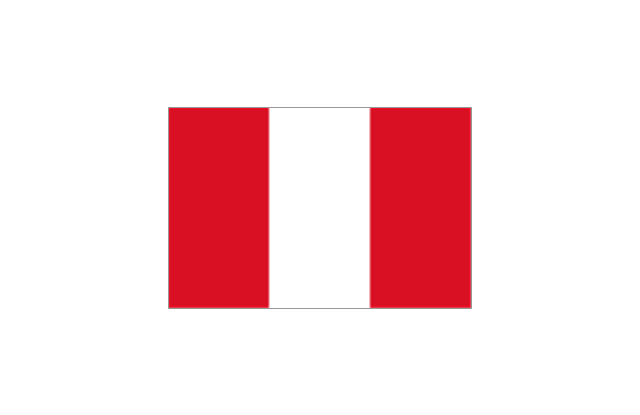
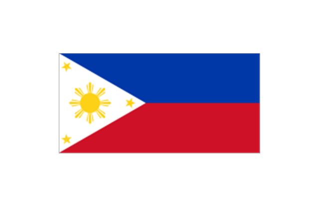
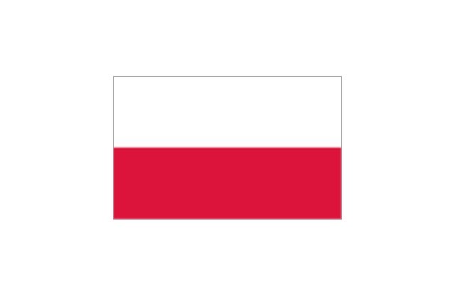
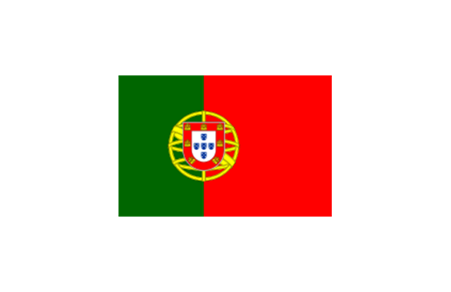
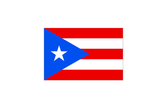
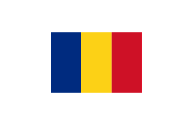
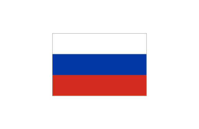
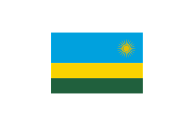
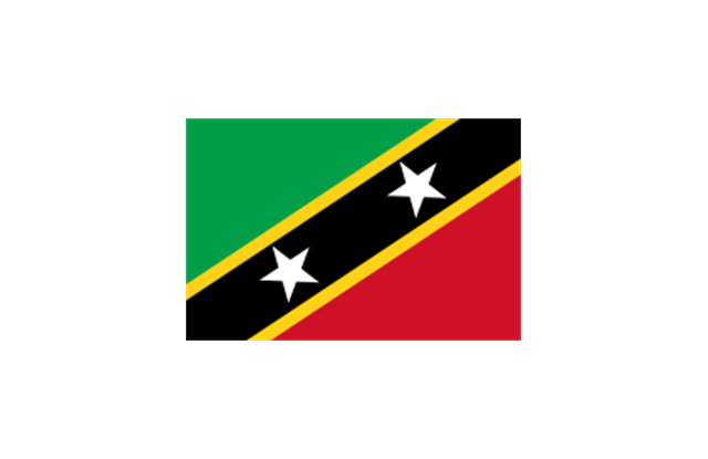
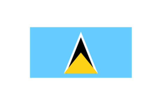
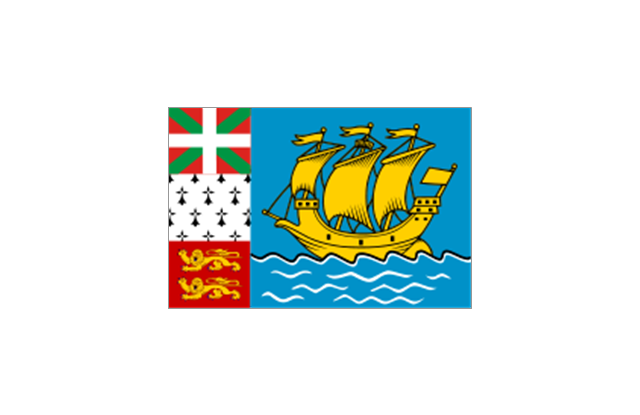
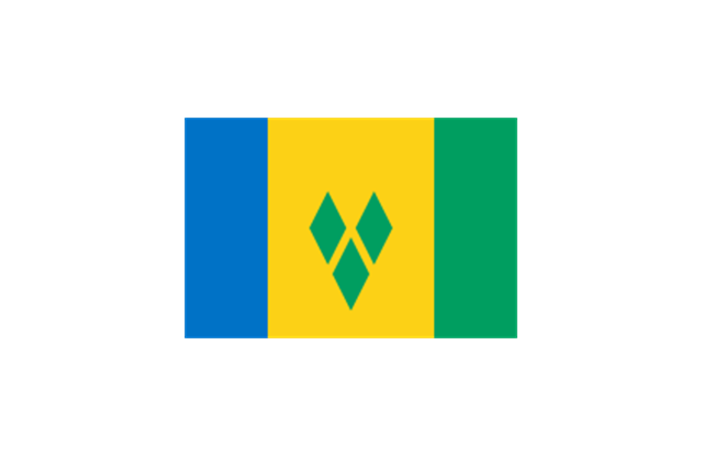
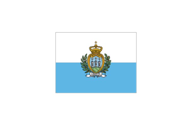
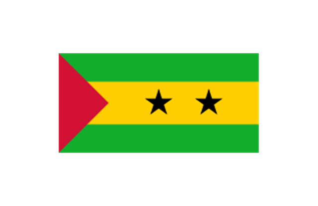
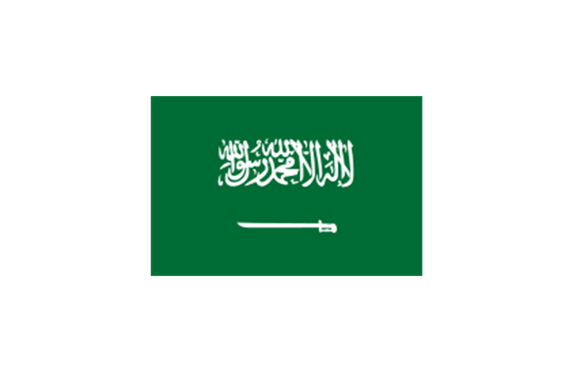
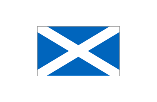
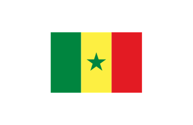
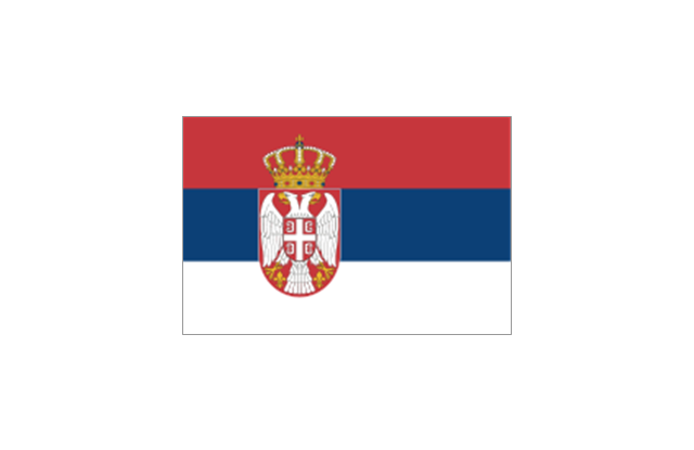
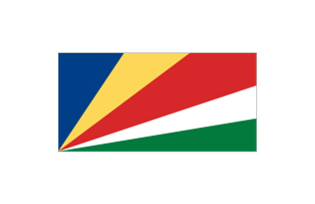
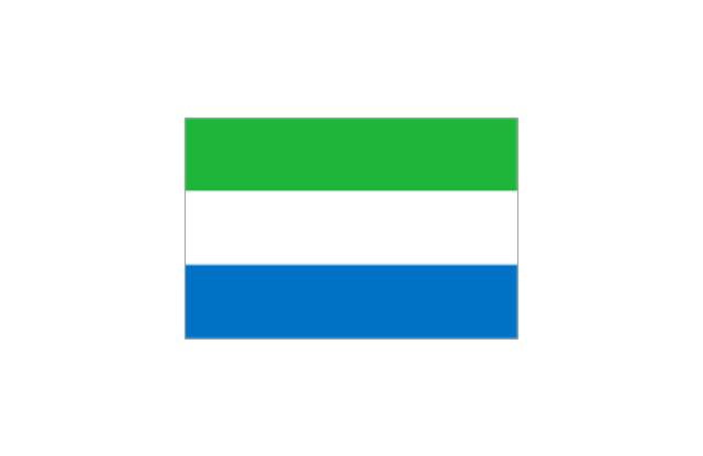
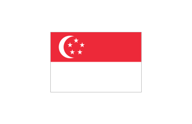
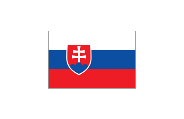
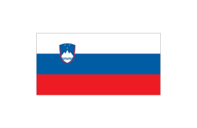
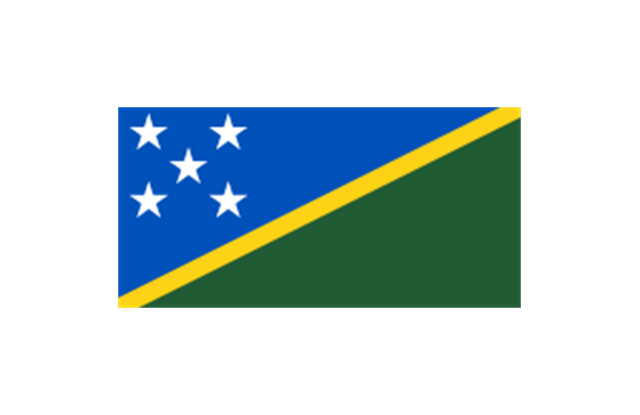
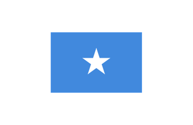
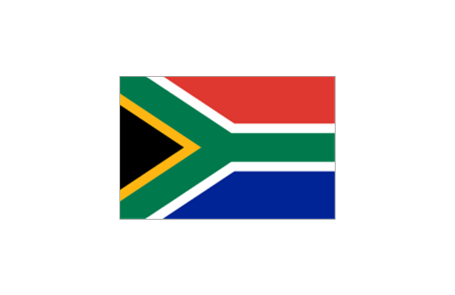
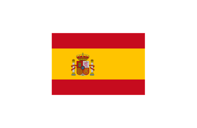
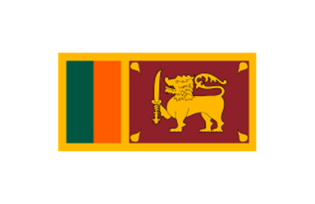
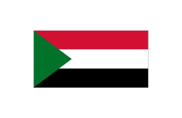
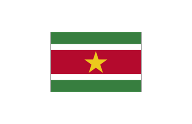
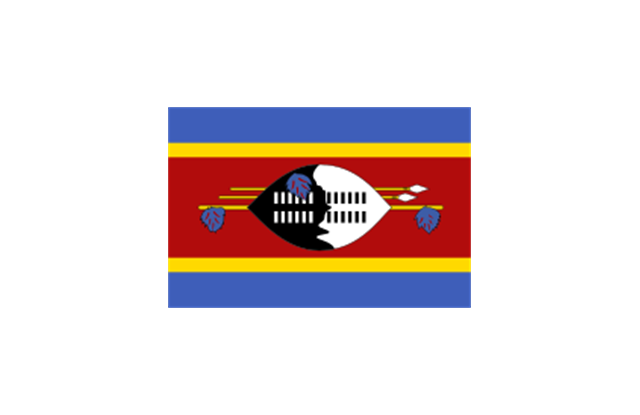
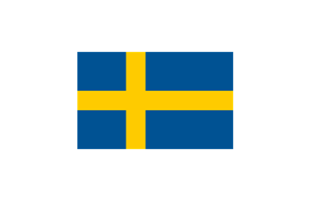
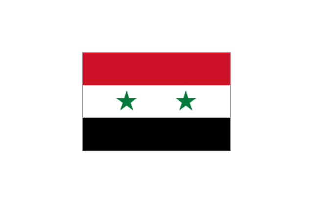
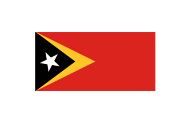
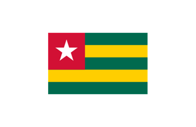
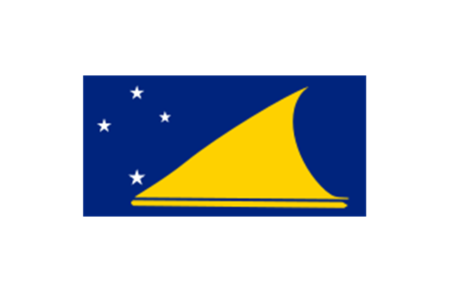
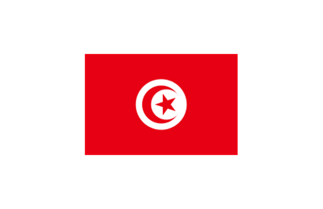
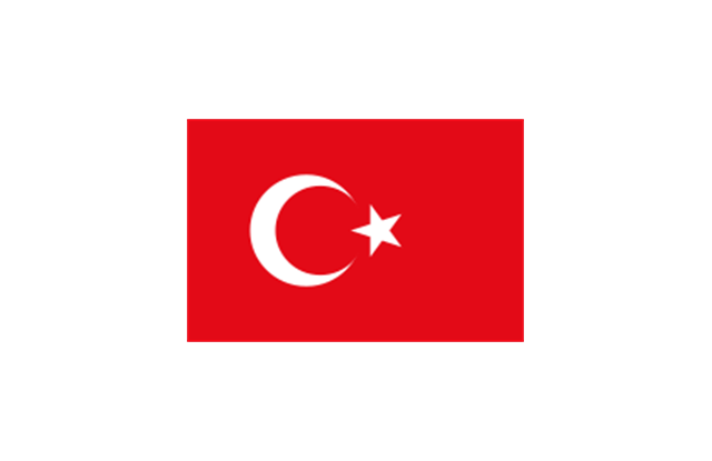
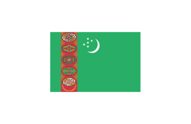
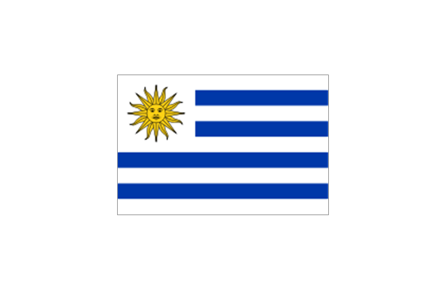
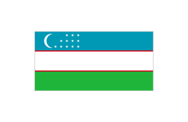
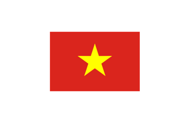
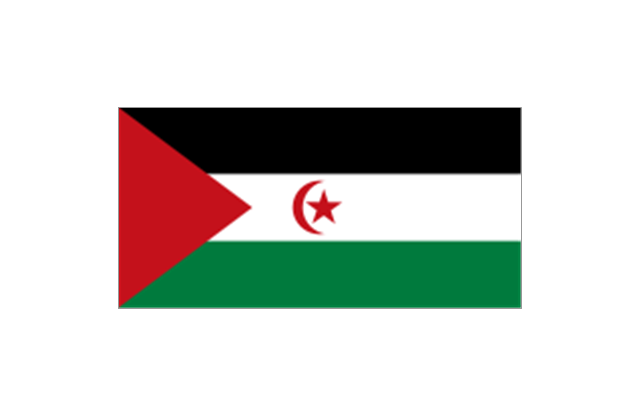
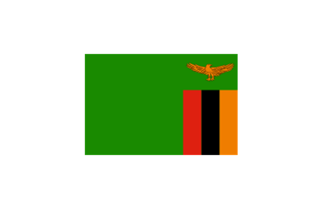
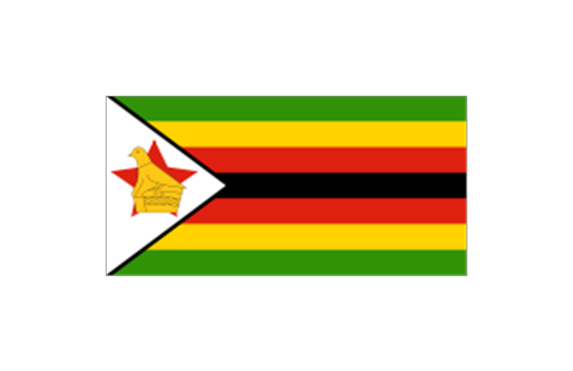
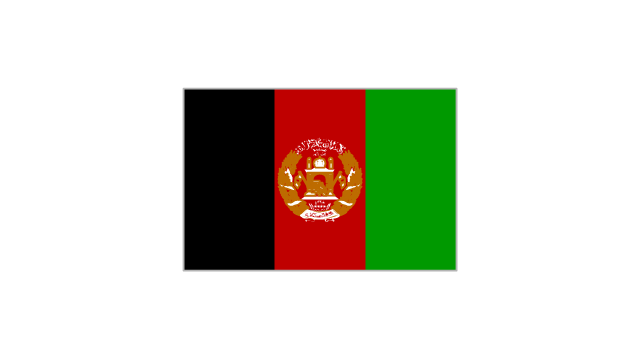
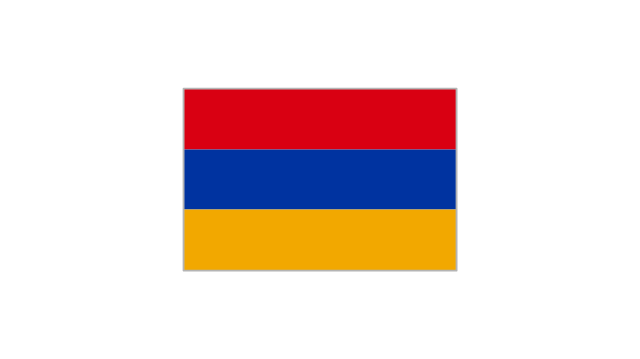
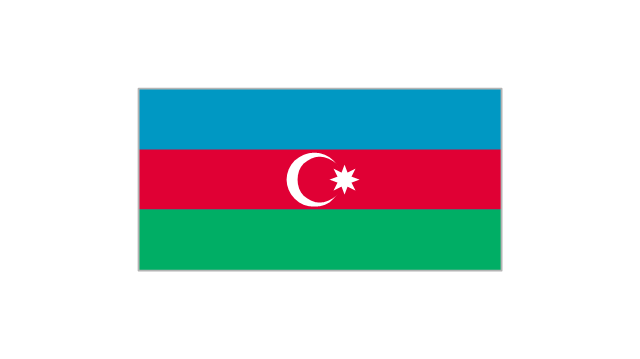
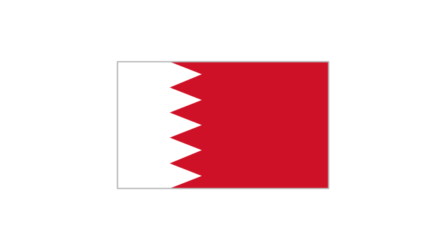
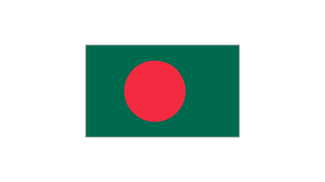
The vector stencils library "Asian country flags" contains 48 clipart images of Asia state flags.
Use the Asian country flags clip art to illustrate your business documents, presentation slides, web pages, geo maps and infographics.
The clip art example "Asian country flags - Vector stencils library" was created using the ConceptDraw PRO diagramming and vector drawing software extended with the Artwork solution from the Illustration area of ConceptDraw Solution Park.
- Kazakhstan Map Png
- Design elements - Geography | Geo Map - Asia - Kazakhstan ...
- Map Of The Philippines Vector Png
- Hill Clipcart Png
- Png Vector Iran
- Greater China Map Png
- Geo Map - Asia - Papua New Guinea | Asia - Vector stencils library ...
- Iran Map Logo Png
- Malaysia Map Transparent Png
- Myanmar Map Png
- Singapore Map Vector Png
- Thailand Map Outline Png
- Geo Map - Asia - Iran | Geo Map - Asia - Kazakhstan | Geo Map ...
- Syria Png Map
- Png River Image
- India Map Png Vector
- Bahrain Map Outline Color Png
- Map Of Vietnam Png
- Uae Flag Vector Png File
- Indonesia Map Png Icon

-asia-flags---stencils-library.png--diagram-flowchart-example.png)












-asia---vector-stencils-library.png--diagram-flowchart-example.png)








-asia---vector-stencils-library.png--diagram-flowchart-example.png)


-asia---vector-stencils-library.png--diagram-flowchart-example.png)








































-asian-country-flags---vector-stencils-library.png--diagram-flowchart-example.png)
