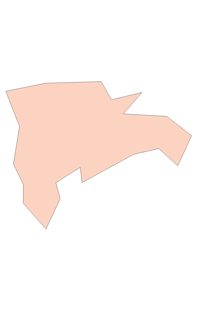
Geo Map - South America - Puerto Rico
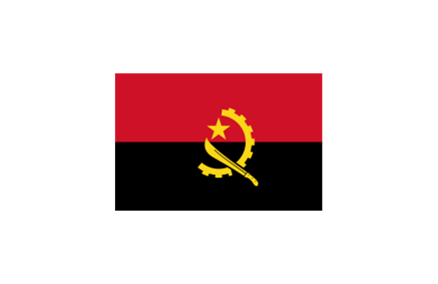
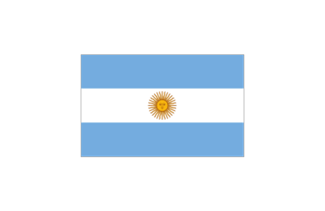
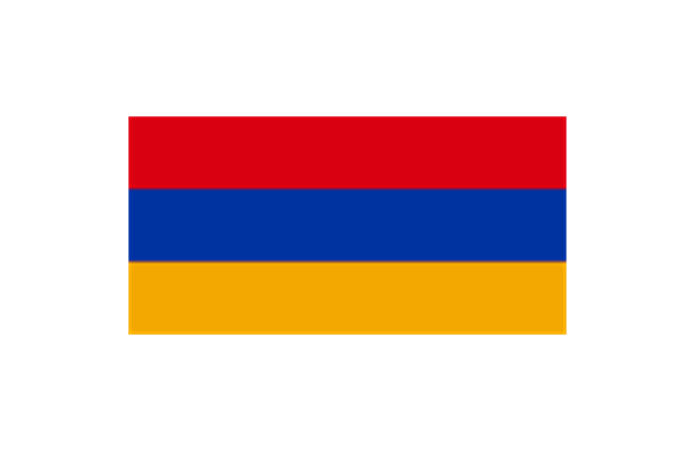
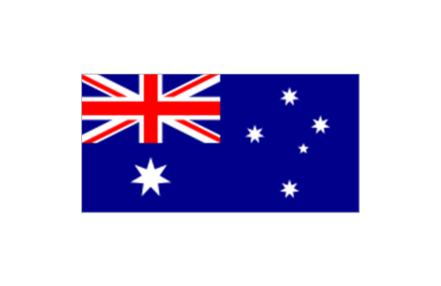
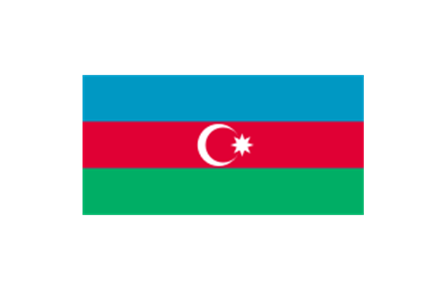
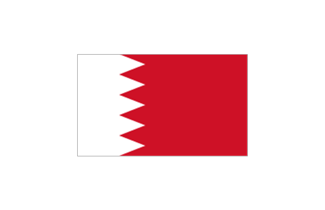
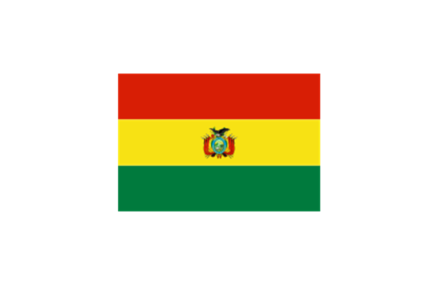
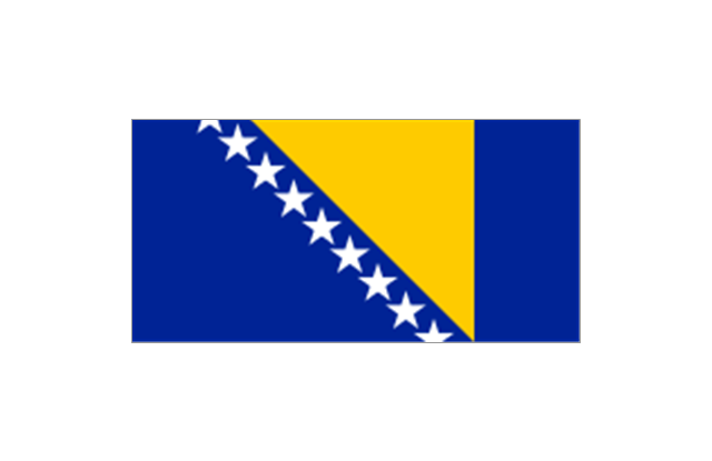
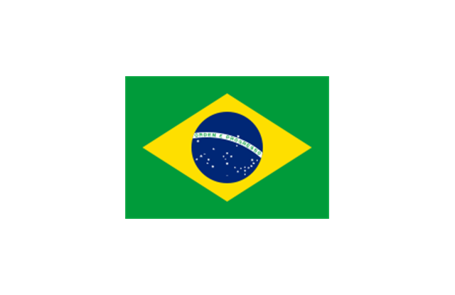
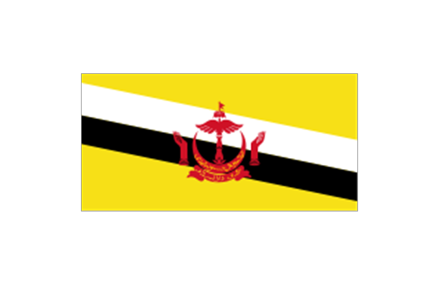
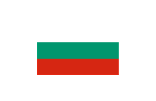
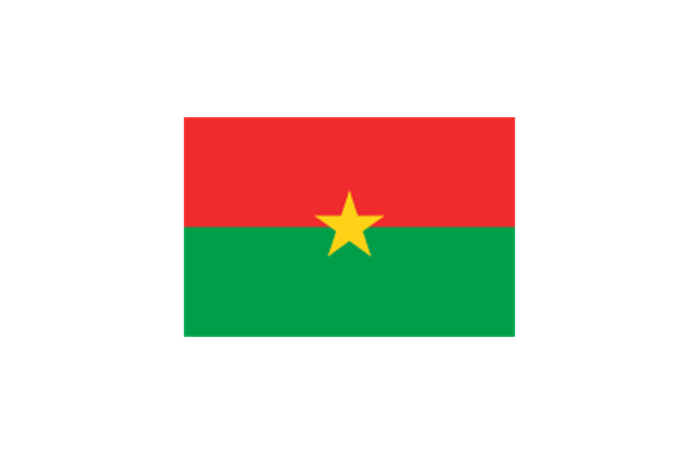
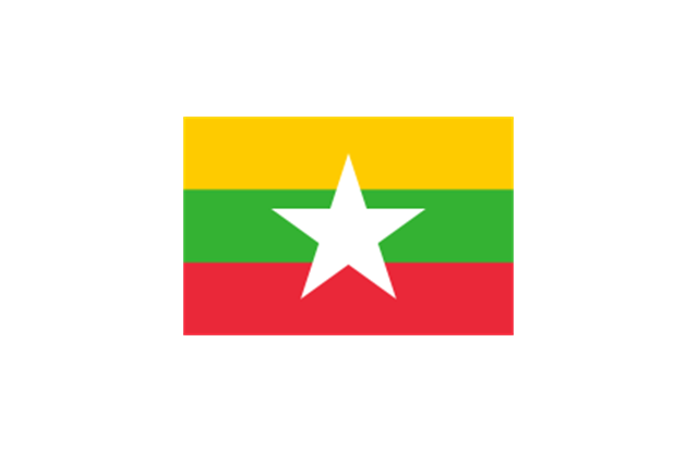
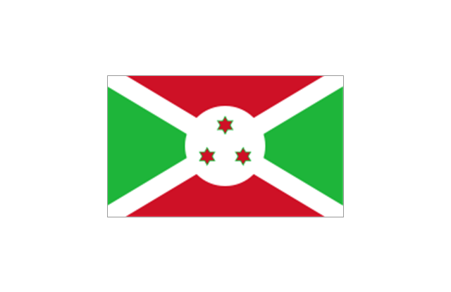
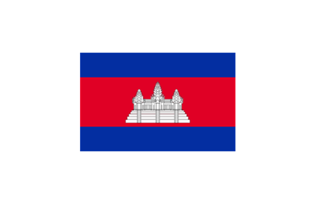
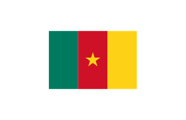
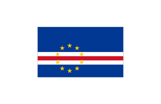
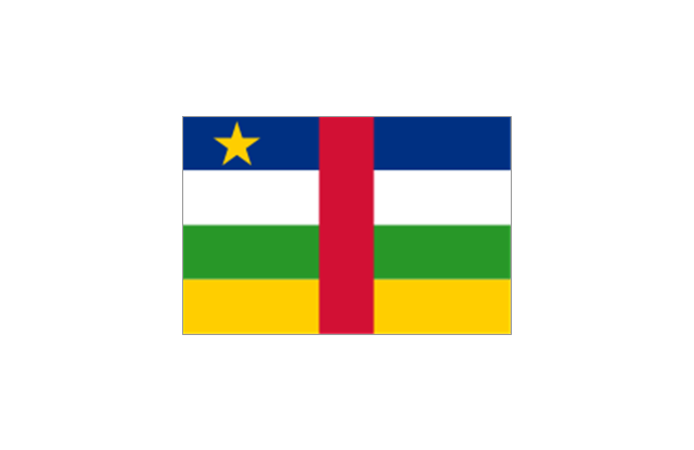
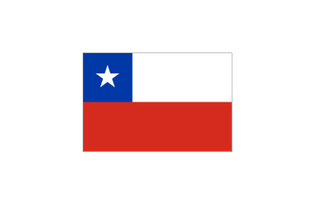
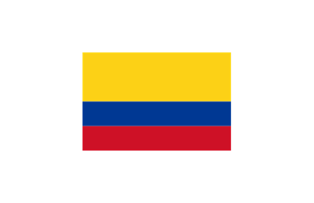
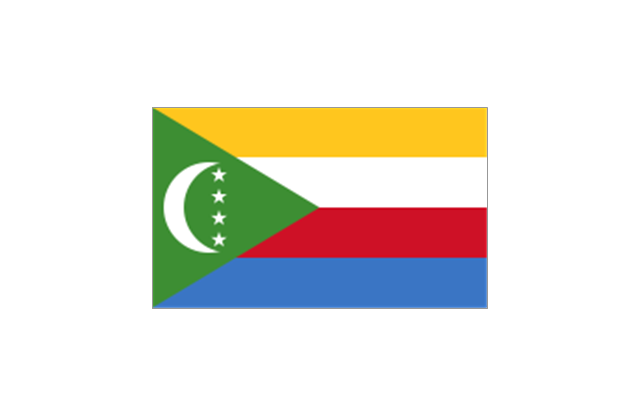
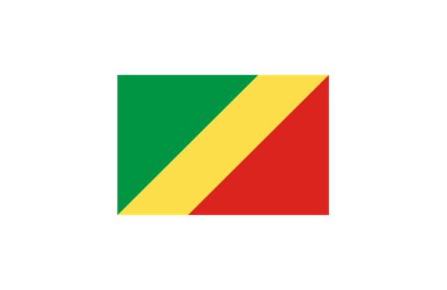
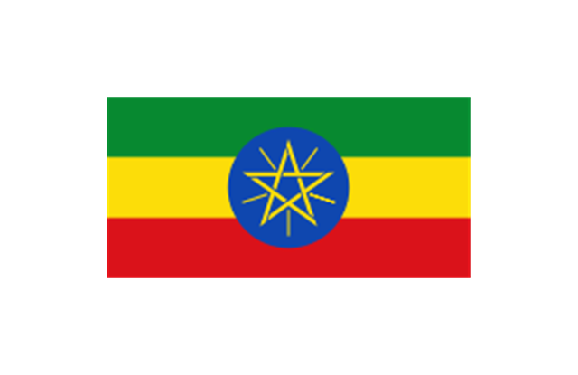
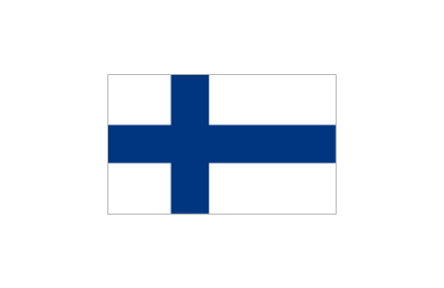
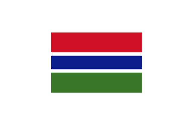
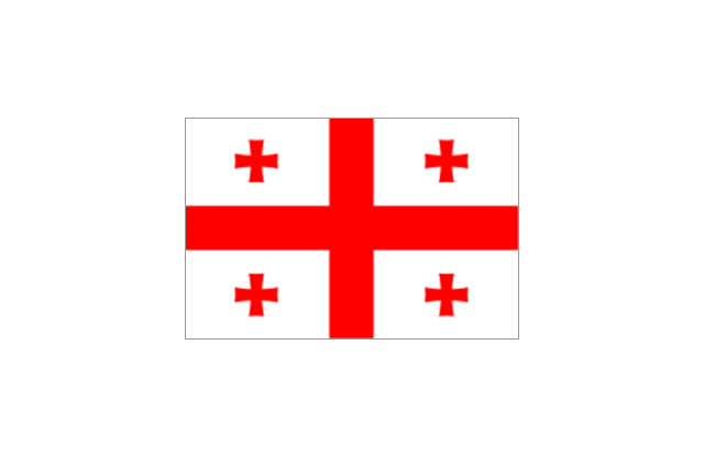
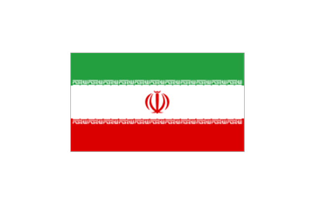
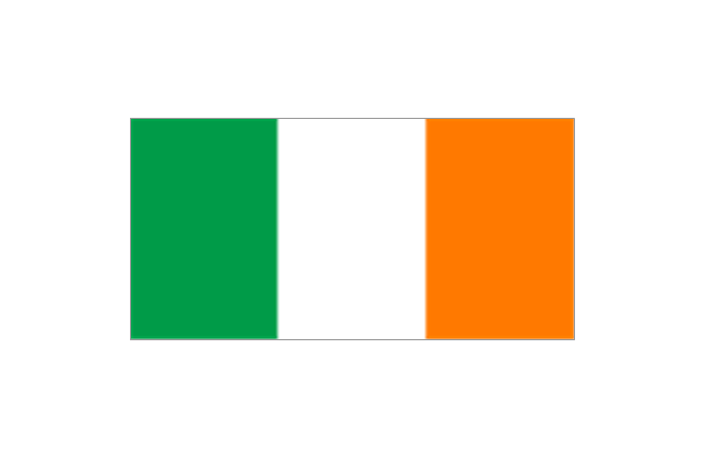
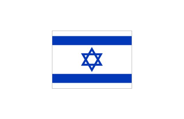
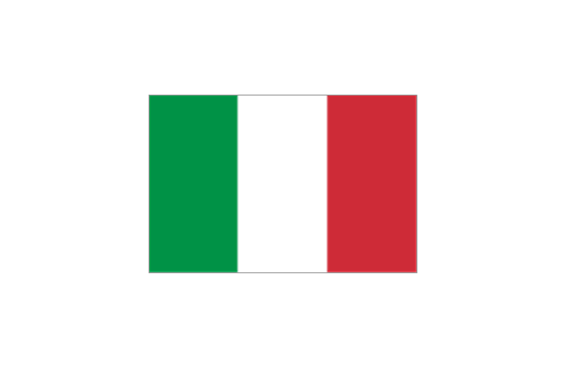
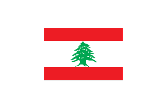
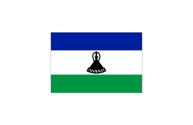
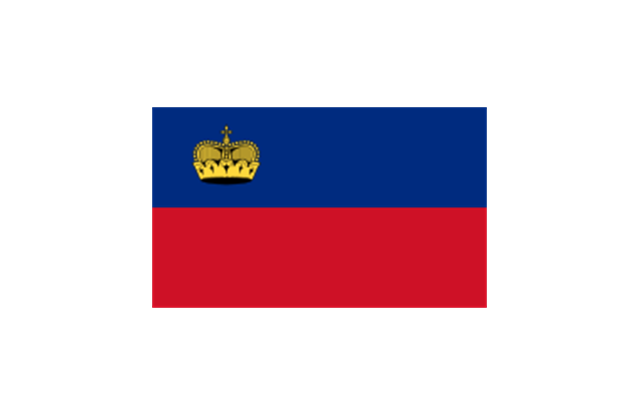
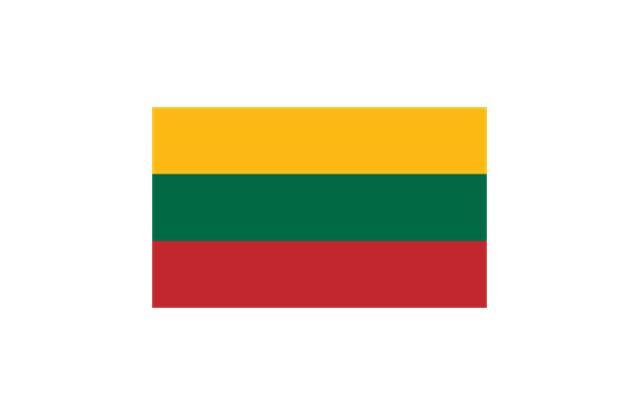
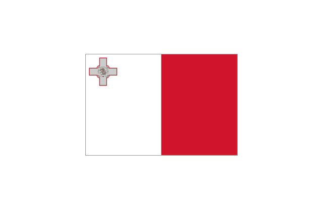
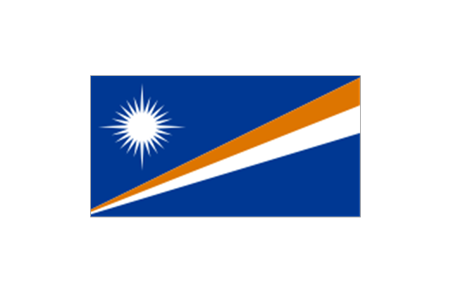
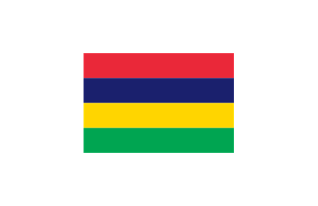
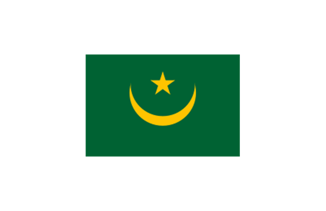
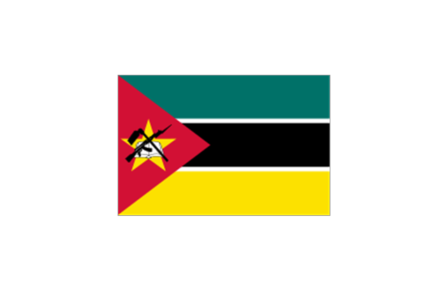
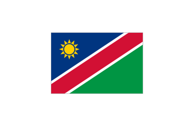
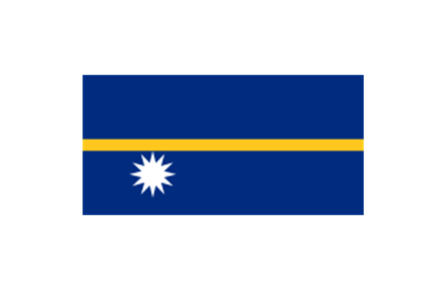
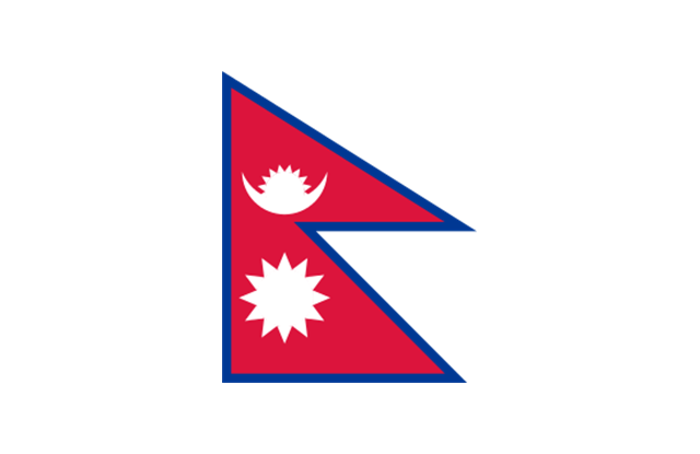
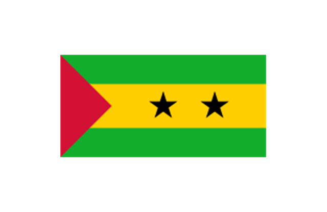
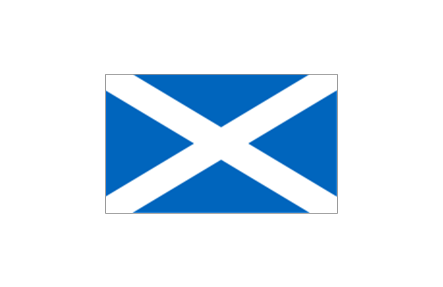
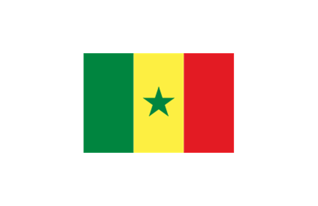
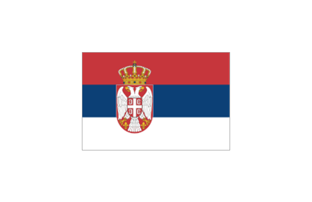
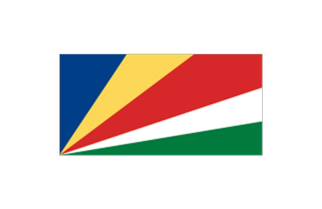
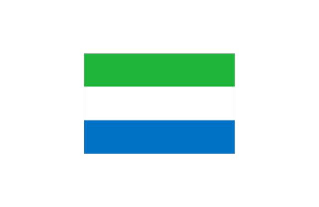
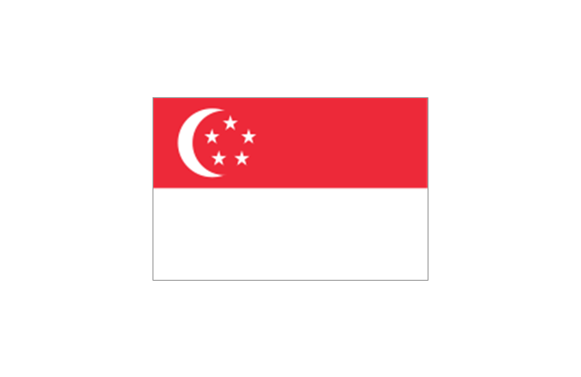
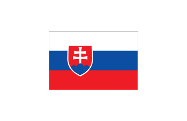
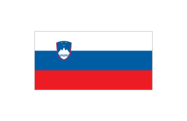
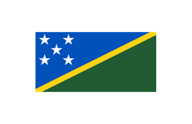
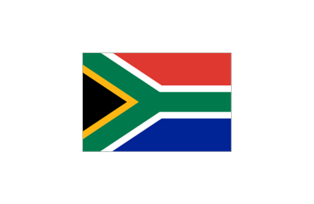
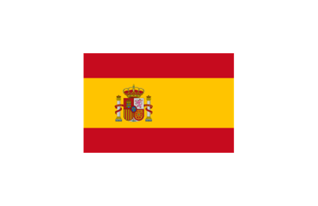
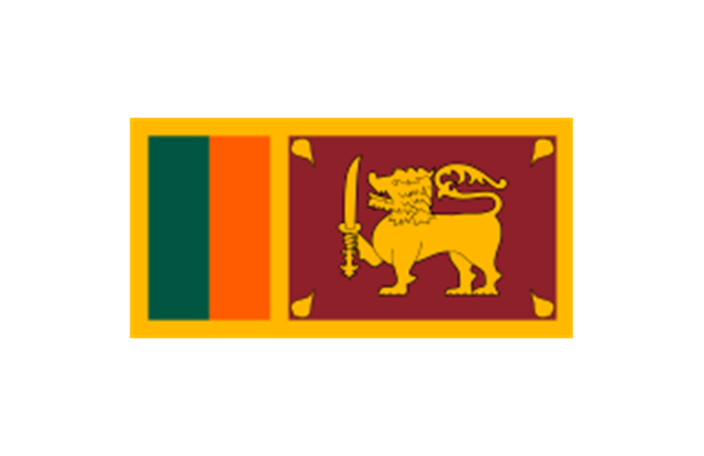
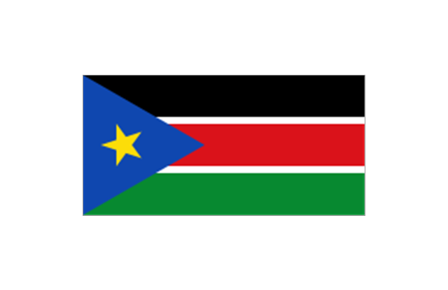
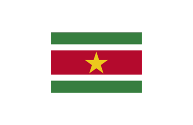
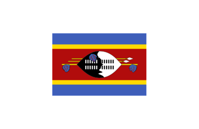
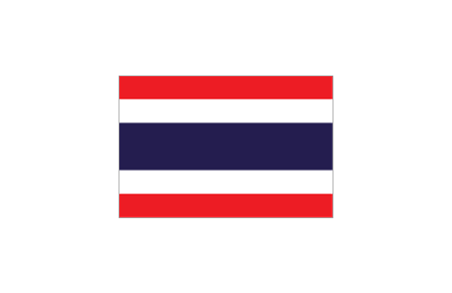
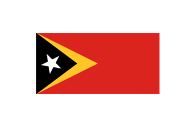
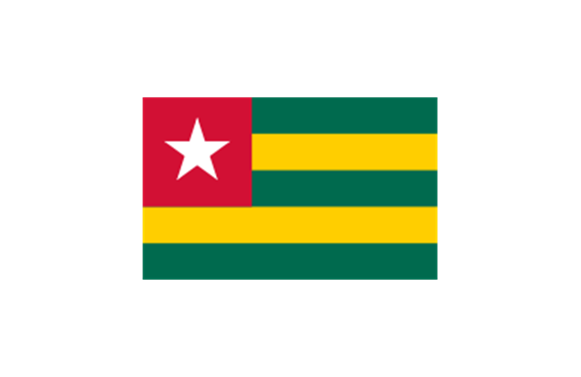
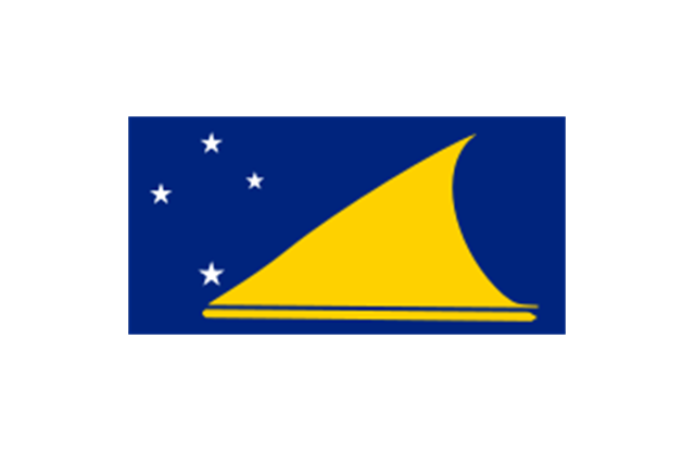
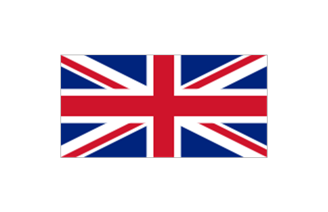
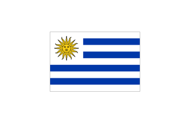
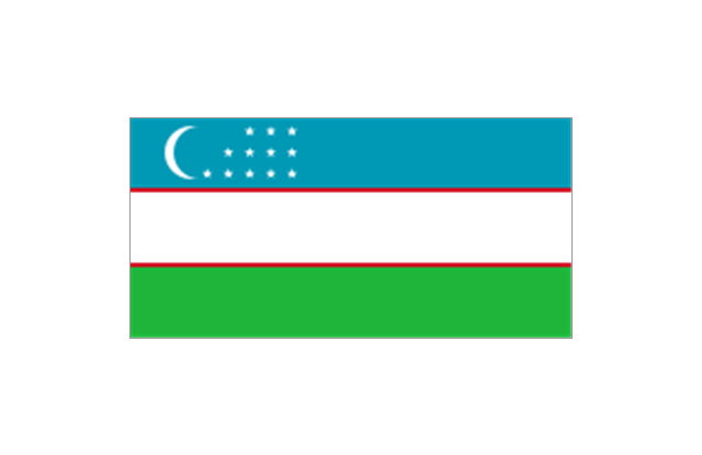
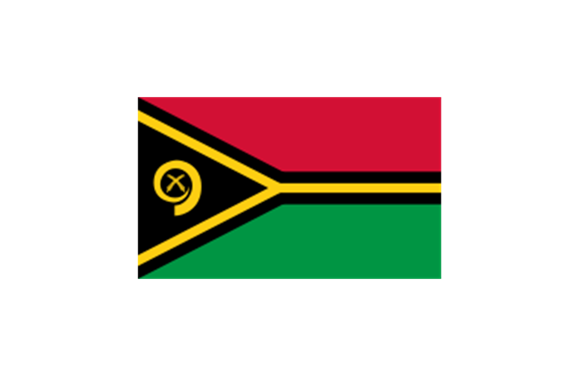
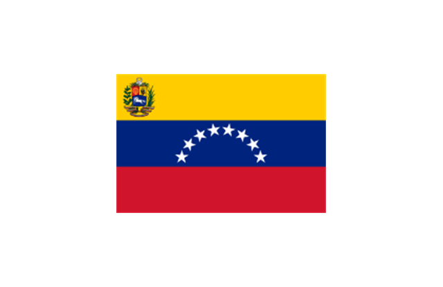
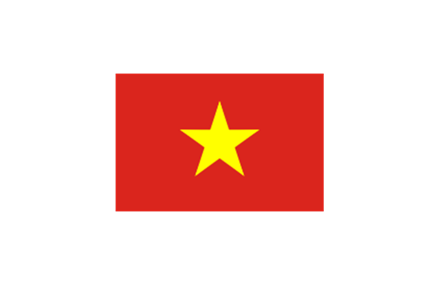
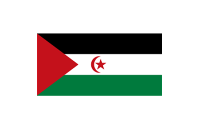
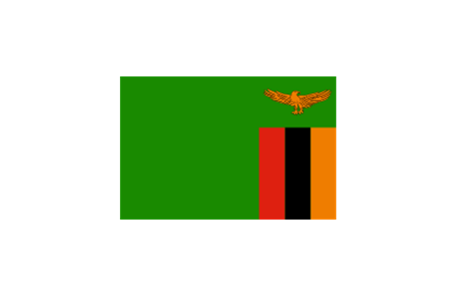
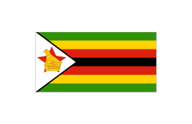
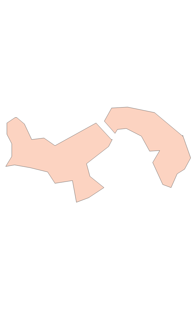
Puerto Rico, officially the Commonwealth of Puerto Rico, is an unincorporated territory of the United States, located in the northeastern Caribbean east of the Dominican Republic and west of both the United States Virgin Islands and the British Virgin Islands. The vector stencils library Puerto Rico contains contours for ConceptDraw PRO diagramming and vector drawing software. This library is contained in the Continent Maps solution from Maps area of ConceptDraw Solution Park.The stencils library "Flags" contains 204 clipart images of state flags.
"There are two separate meanings for the term state flag in vexillology - the flag of the government of a sovereign state, and the flag of an individual subnational state, such as a U.S. state, or a Russian oblast. ...
A state flag is a variant of a national flag (or occasionally a completely different design) specifically designated and restricted by law or custom (theoretically or actually) to use by a country's government or its agencies. For this reason they are sometimes referred to as government flags. In many countries the state flag and the civil flag (as flown by the general public) are identical, but in other countries, notably those in Latin America, central Europe, and Scandinavia, the state flag is a more complex version of the national flag, often featuring the national coat of arms or some other emblem as part of the design. Scandinavian countries also use swallowtailed state flags, to further differentiate them from civil flags.
In addition, some countries have state ensigns, separate flags for use by non-military government ships such as guard vessels. For example, government ships in the United Kingdom fly the blue ensign." [State flag. Wikipedia]
The clip art example "Flags - Stencils library" was created using the ConceptDraw PRO diagramming and vector drawing software extended with the Continent Maps solution from the Maps area of ConceptDraw Solution Park.
www.conceptdraw.com/ solution-park/ maps-continent
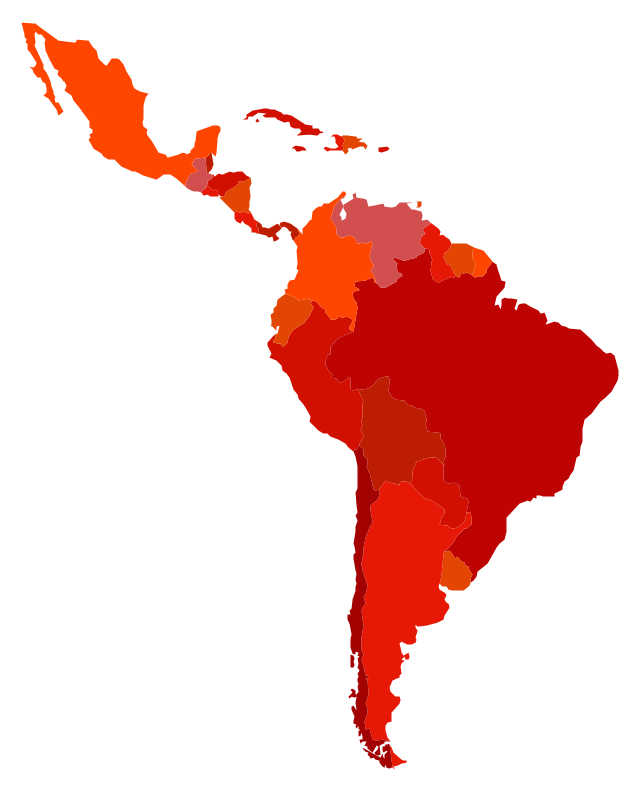
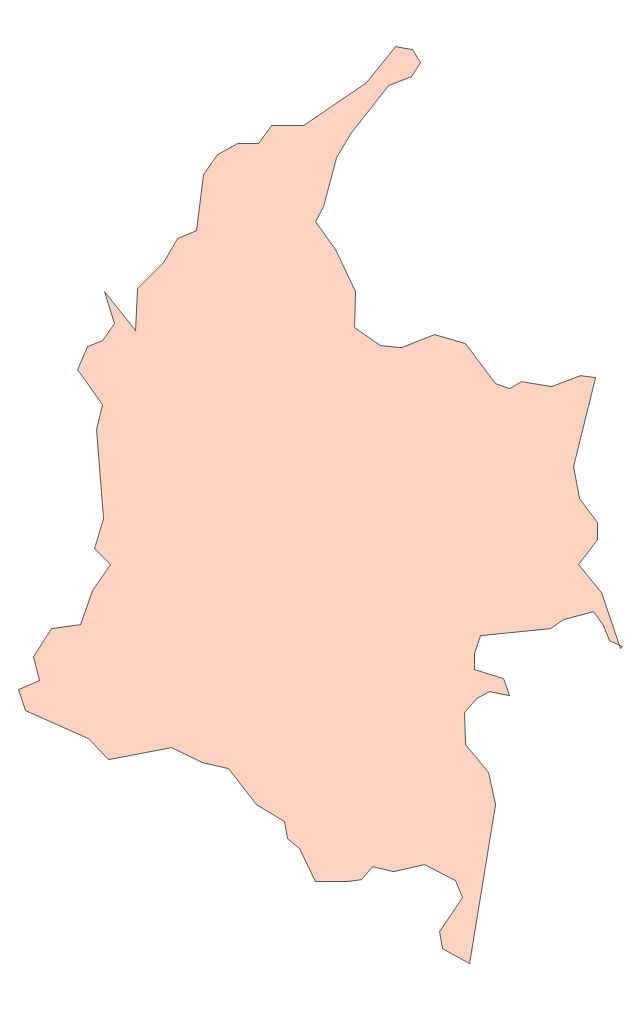
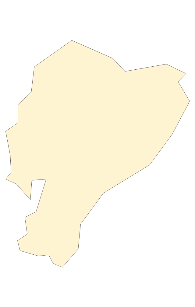
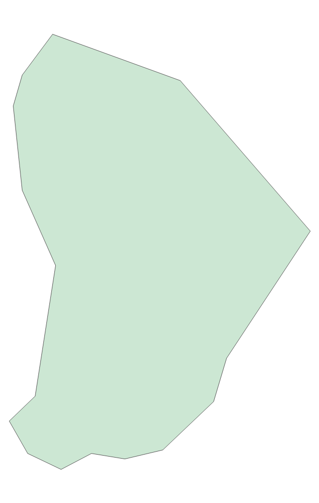
The vector stencils library "Latin America" contains 30 country contours for drawing thematic maps of Latin America.
Use it in your spatial infographics for visual representation of geospatial information, statistics and quantitative data in the ConceptDraw PRO diagramming and vector drawing software extended with the Spatial Infographics solution from the area "What is Infographics" of ConceptDraw Solution Park.
Use it in your spatial infographics for visual representation of geospatial information, statistics and quantitative data in the ConceptDraw PRO diagramming and vector drawing software extended with the Spatial Infographics solution from the area "What is Infographics" of ConceptDraw Solution Park.
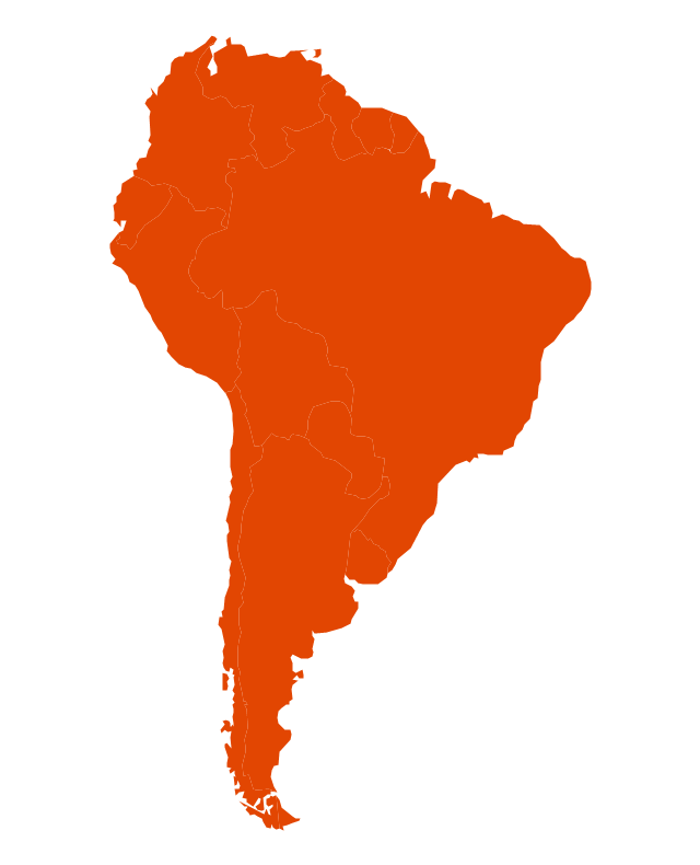
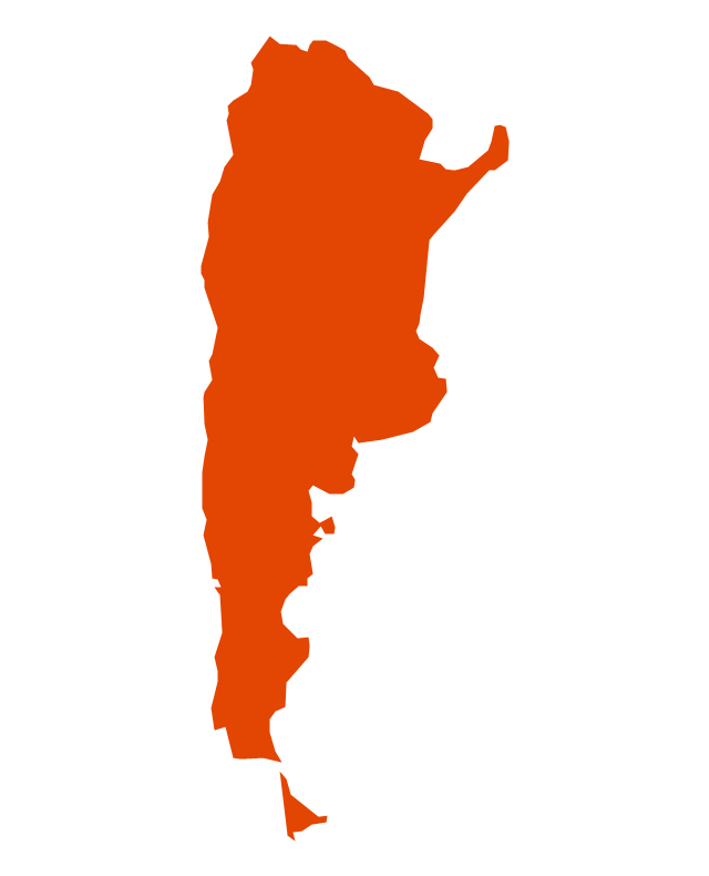
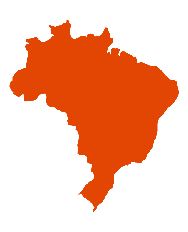
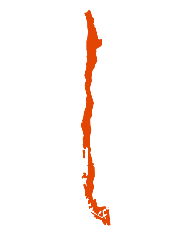
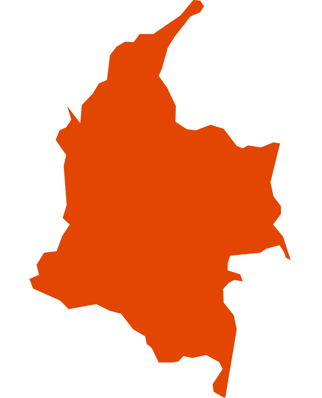
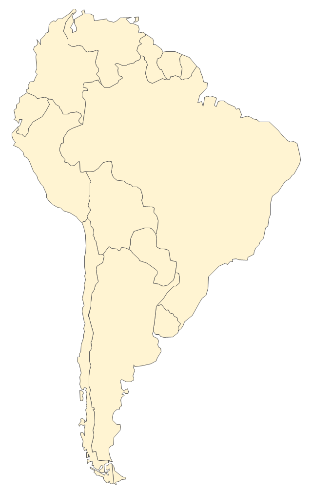
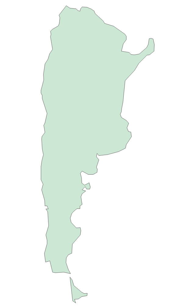
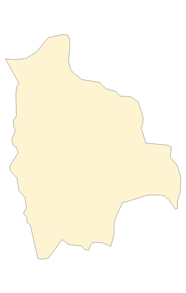
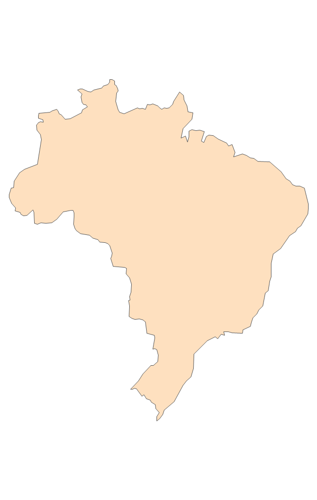
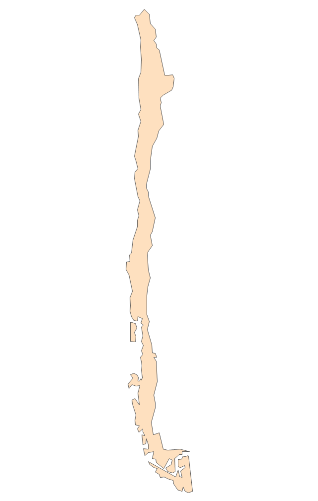
The vector stencils library "South America" contains 29 state map contours for drawing thematic maps of South America. Use it for visual representation of geospatial information, statistics and quantitative data.
"South America is a continent located in the Western Hemisphere, mostly in the Southern Hemisphere, with a relatively small portion in the Northern Hemisphere. ...
It is bordered on the west by the Pacific Ocean and on the north and east by the Atlantic Ocean; North America and the Caribbean Sea lie to the northwest. It includes twelve sovereign states - Argentina, Bolivia, Brazil, Chile, Colombia, Ecuador, Guyana, Paraguay, Peru, Suriname, Uruguay, and Venezuela - and two non-sovereign areas - French Guiana, an overseas department of France, and the Falkland Islands, a British Overseas Territory (nonetheless claimed by Argentina). In addition to this, the ABC islands of the Netherlands may also be considered part of South America." [South America. Wikipedia]
The state map contours example "South America - Vector stencils library" was created using the ConceptDraw PRO diagramming and vector drawing software extended with the Continent Maps solution from the Maps area of ConceptDraw Solution Park.
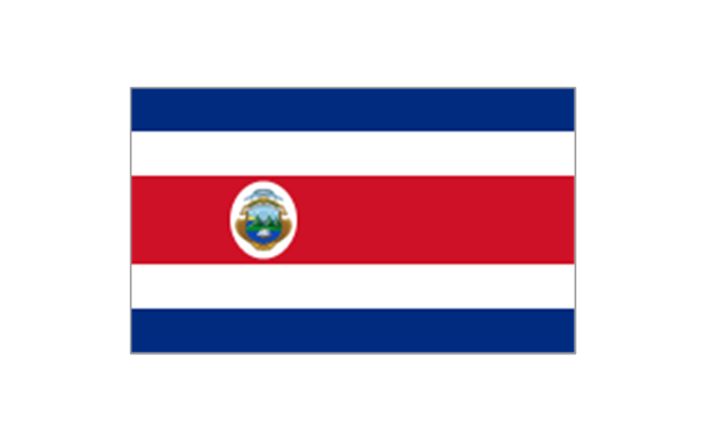
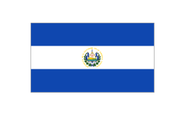
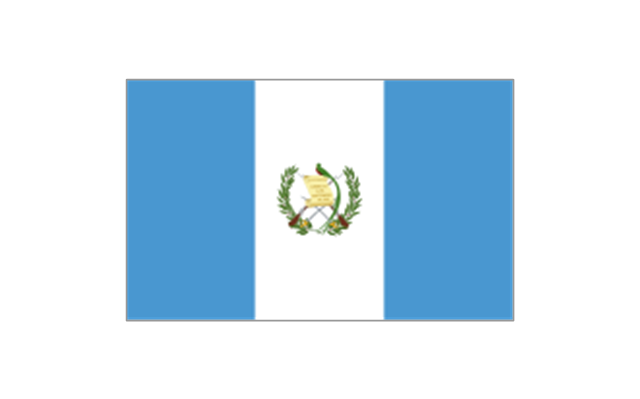
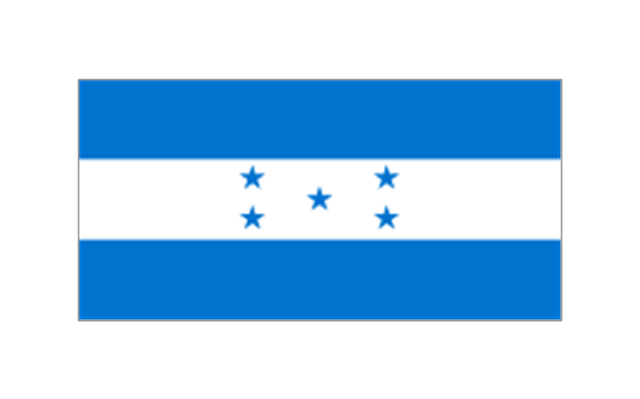
The vector stencils library "North and Central America country flags" contains 26 clipart images of North and Central American state flags. Use the North and Central American country flags clip art to illustrate your business documents, presentation slides, web pages, geo maps and infographics. The clip art example "North and Central America country flags - Vector stencils library" was created using the ConceptDraw PRO diagramming and vector drawing software extended with the Artwork solution from the Illustration area of ConceptDraw Solution Park.
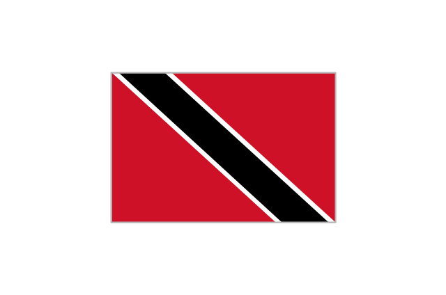
Geo Map - South America - Trinidad and Tobago
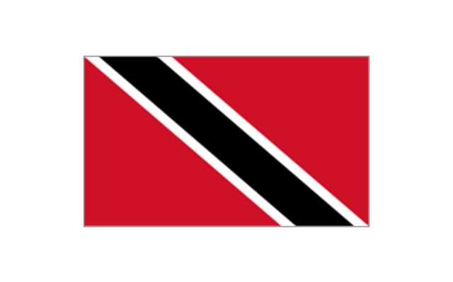
Trinidad and Tobago, officially the Republic of Trinidad and Tobago, is an island country off the northern edge of South America, lying just off the coast of northeastern Venezuela and south of Grenada in the Lesser Antilles. The vector stencils library Trinidad and Tobago contains contours for ConceptDraw PRO diagramming and vector drawing software. This library is contained in the Continent Maps solution from Maps area of ConceptDraw Solution Park.Geo Map - South America - Guyana
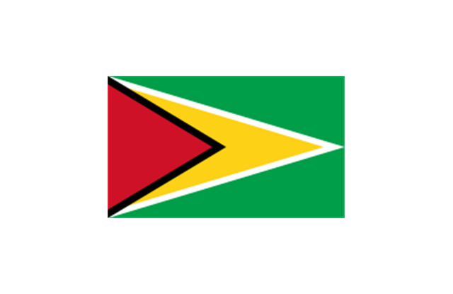
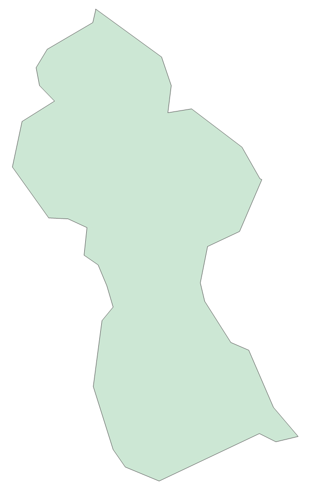
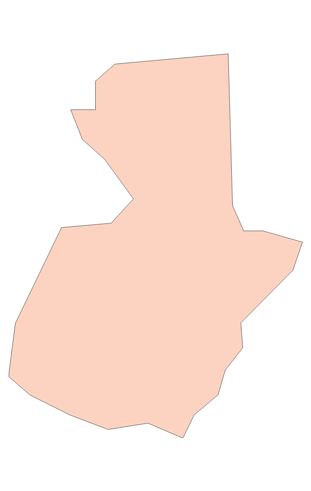
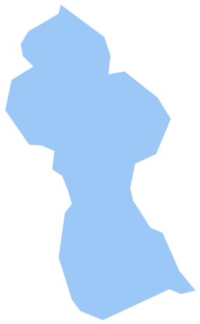
Guyana, officially the Co-operative Republic of Guyana, is a sovereign state on the northern coast of South America. The vector stencils library Guyana contains contours for ConceptDraw PRO diagramming and vector drawing software. This library is contained in the Continent Maps solution from Maps area of ConceptDraw Solution Park.The stencils library "Flags" contains 204 clipart images of state flags.
"There are two separate meanings for the term state flag in vexillology - the flag of the government of a sovereign state, and the flag of an individual subnational state, such as a U.S. state, or a Russian oblast. ...
A state flag is a variant of a national flag (or occasionally a completely different design) specifically designated and restricted by law or custom (theoretically or actually) to use by a country's government or its agencies. For this reason they are sometimes referred to as government flags. In many countries the state flag and the civil flag (as flown by the general public) are identical, but in other countries, notably those in Latin America, central Europe, and Scandinavia, the state flag is a more complex version of the national flag, often featuring the national coat of arms or some other emblem as part of the design. Scandinavian countries also use swallowtailed state flags, to further differentiate them from civil flags.
In addition, some countries have state ensigns, separate flags for use by non-military government ships such as guard vessels. For example, government ships in the United Kingdom fly the blue ensign." [State flag. Wikipedia]
The clip art example "Flags - Stencils library" was created using the ConceptDraw PRO diagramming and vector drawing software extended with the Continent Maps solution from the Maps area of ConceptDraw Solution Park.
www.conceptdraw.com/ solution-park/ maps-continent
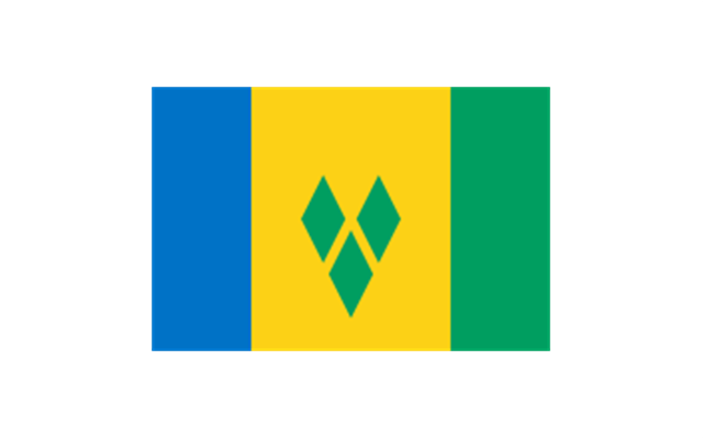
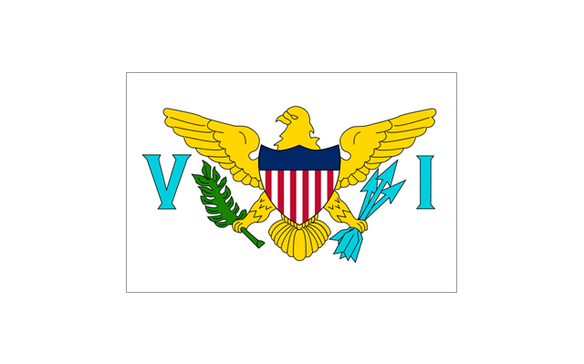
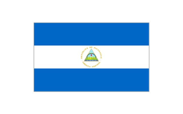
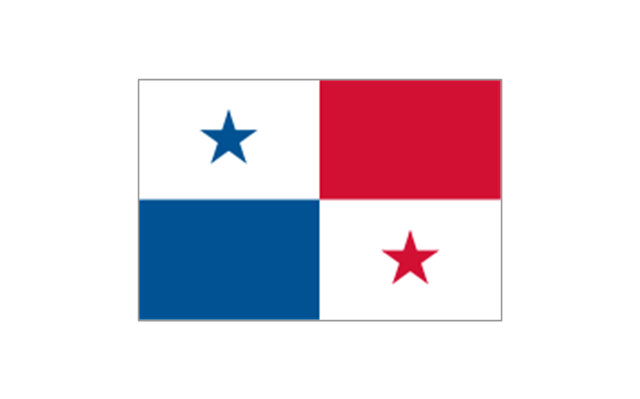
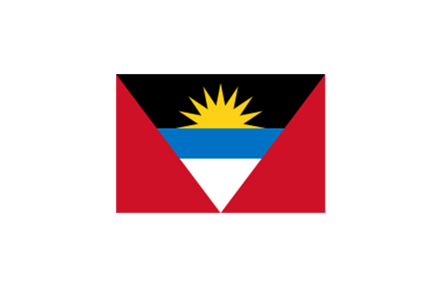
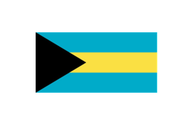
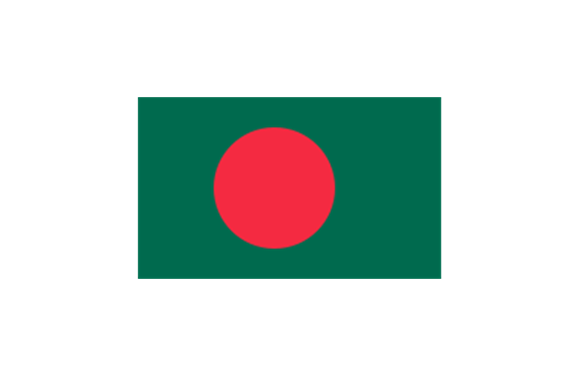
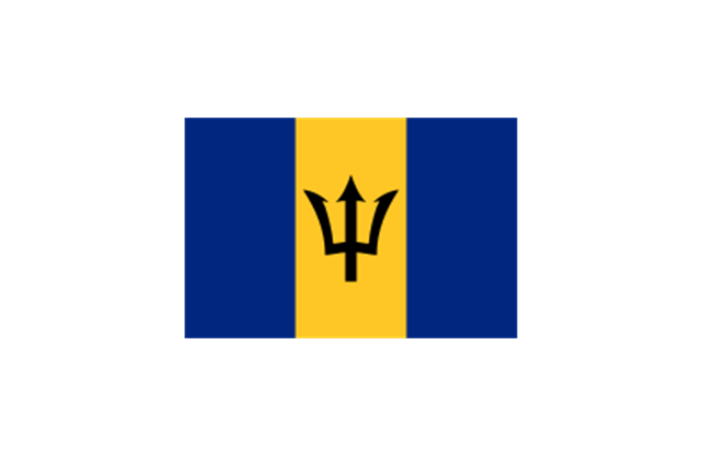
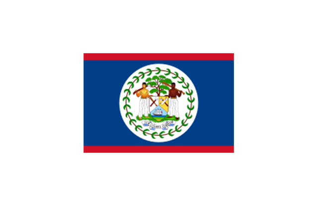
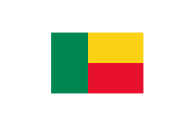
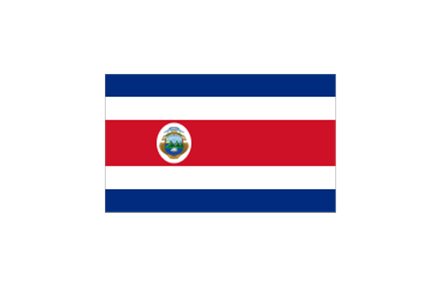
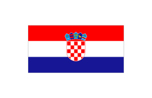
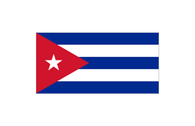
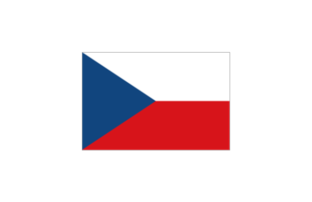
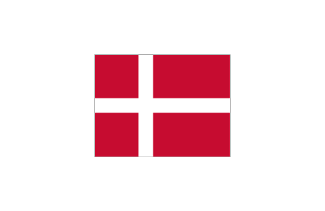
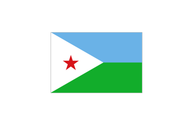
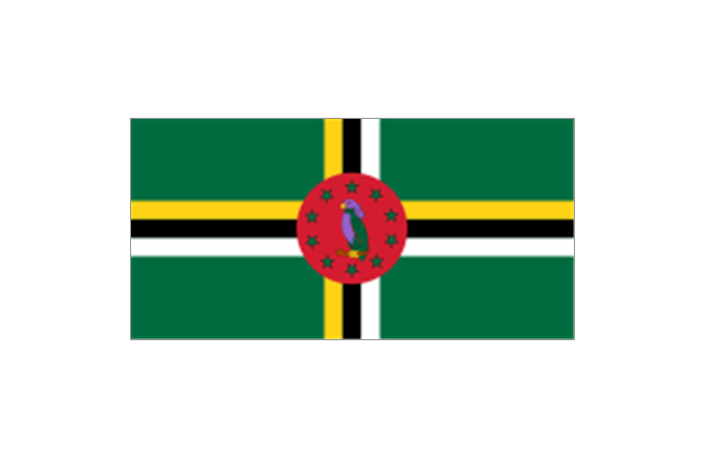
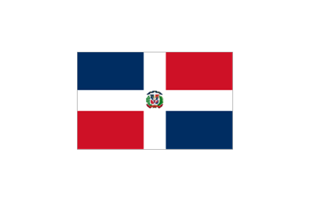
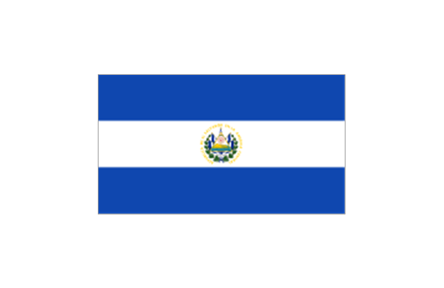
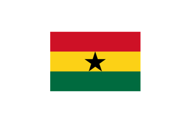
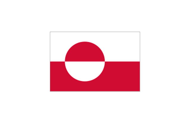
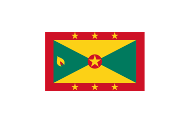
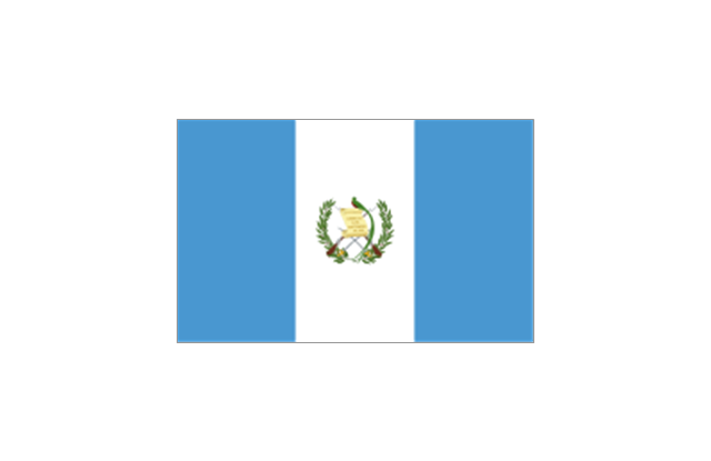
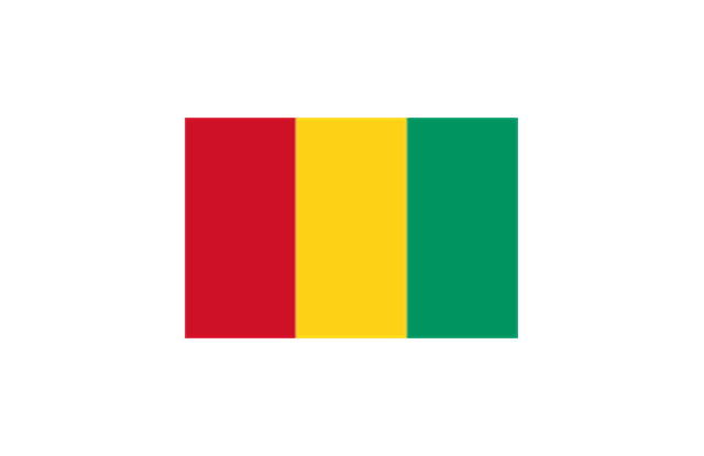
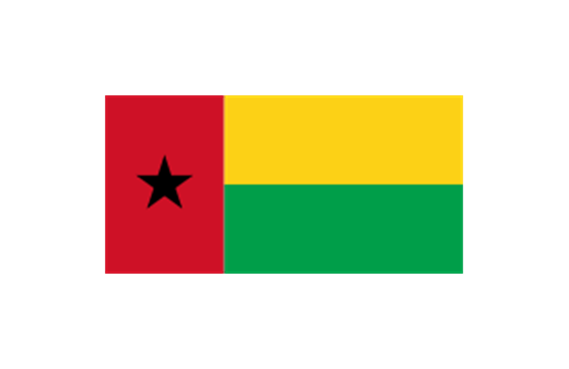
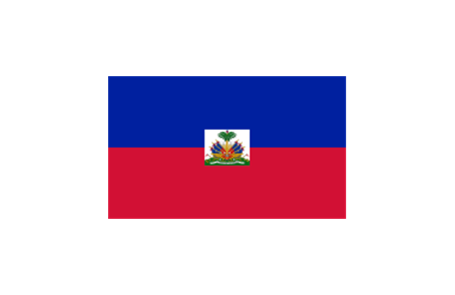
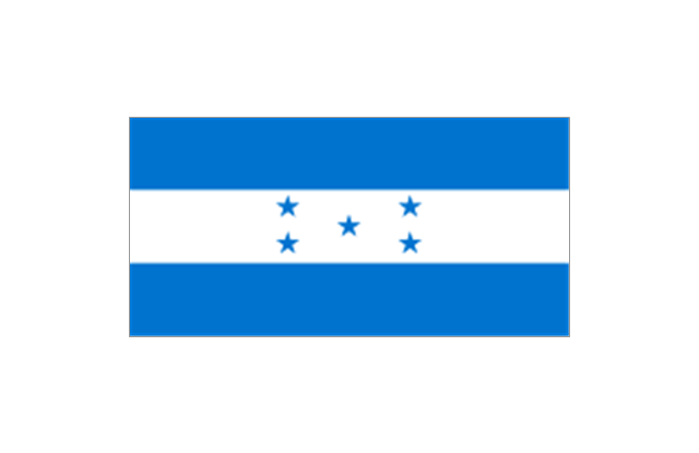
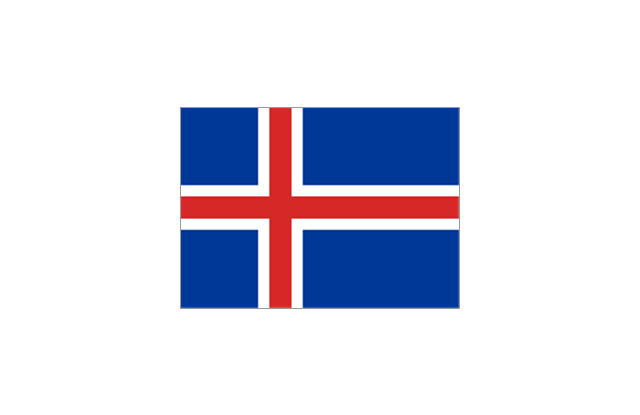
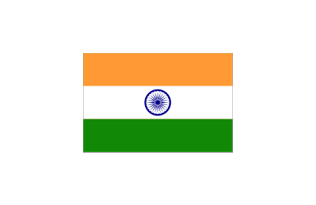
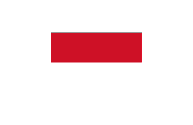
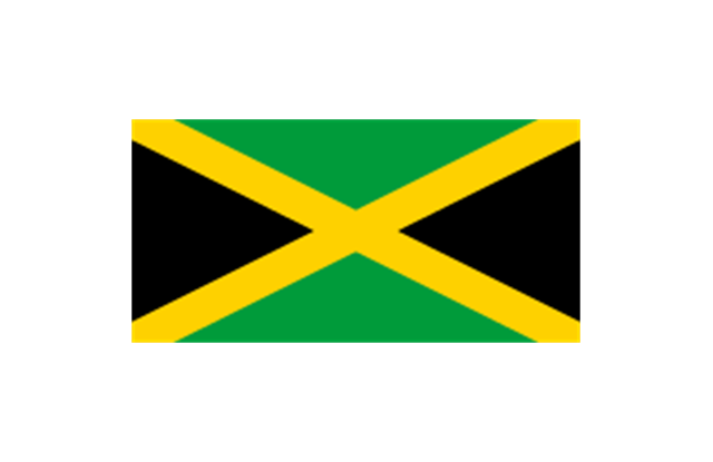
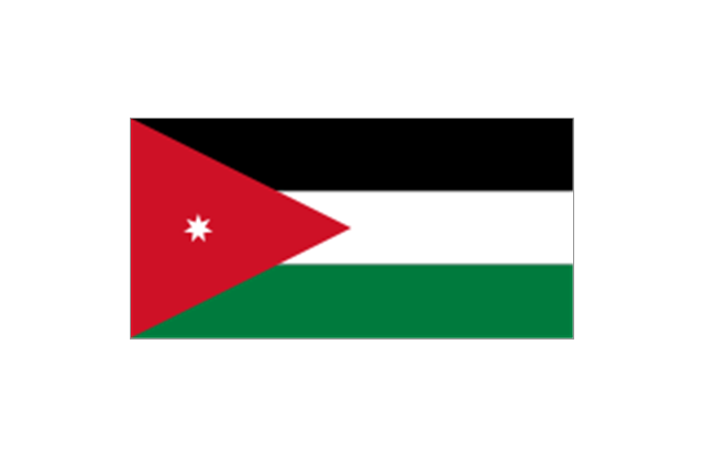
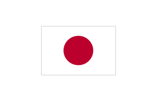
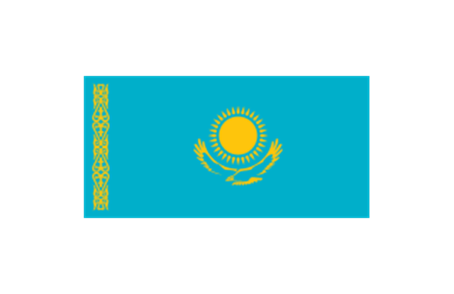
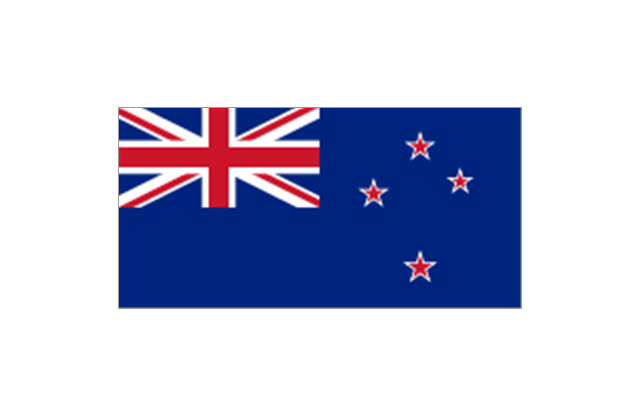
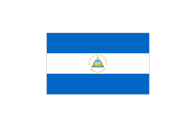
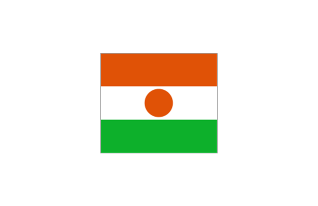
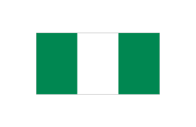
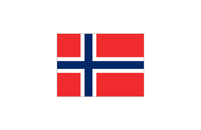
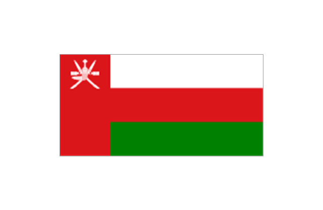
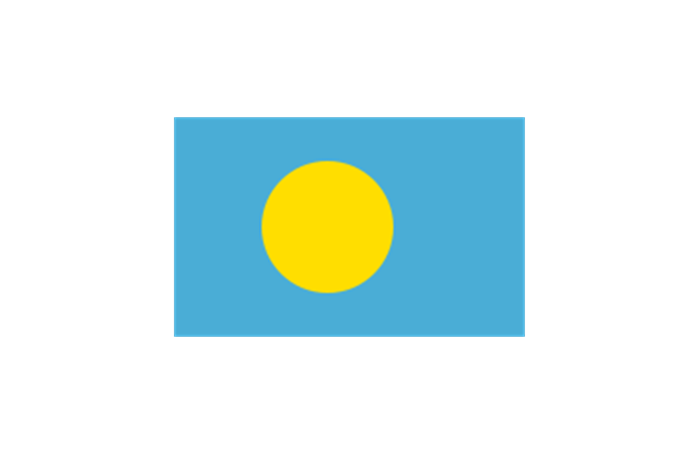
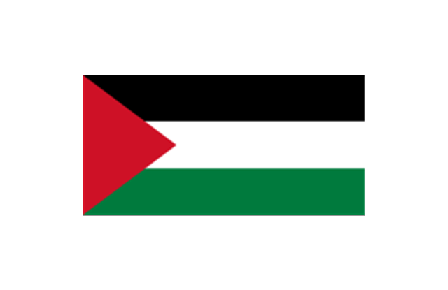
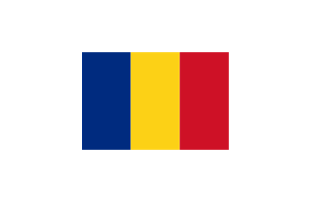
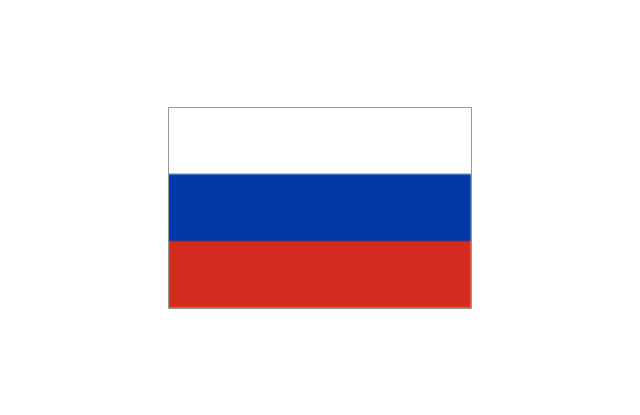
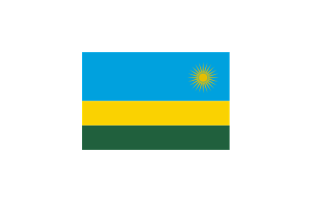
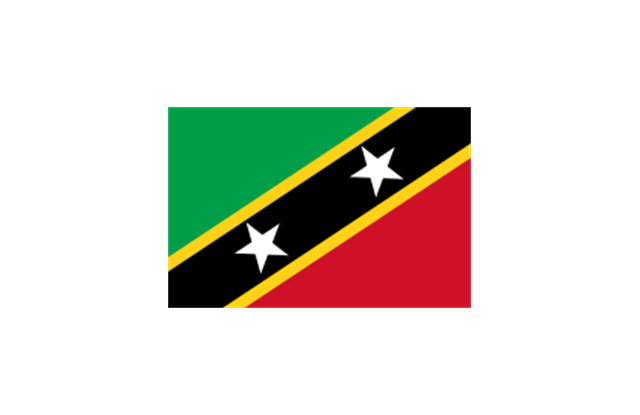
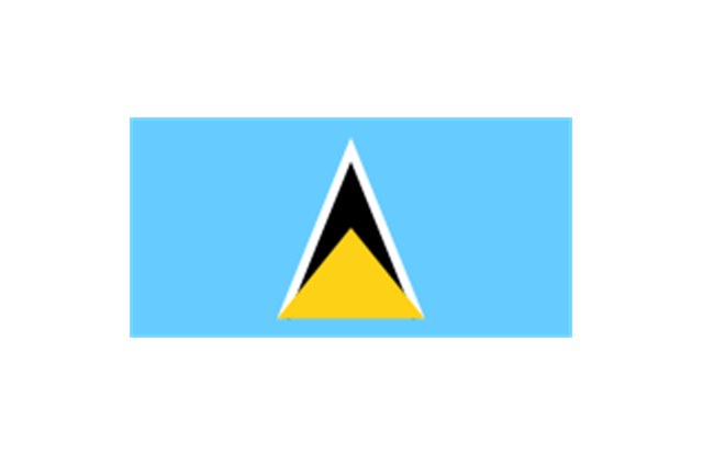
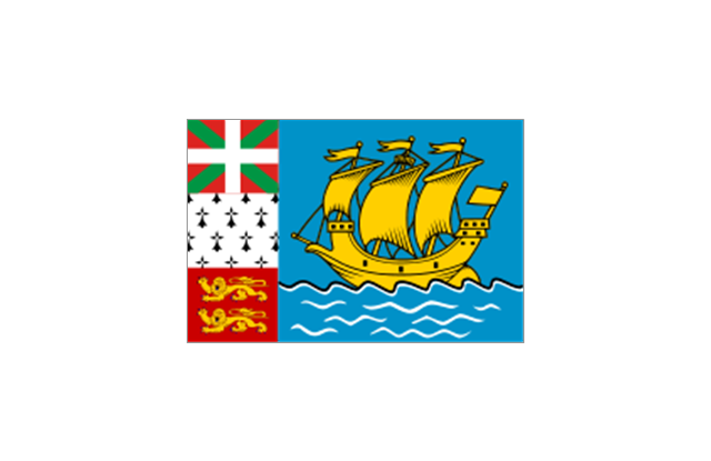
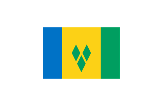
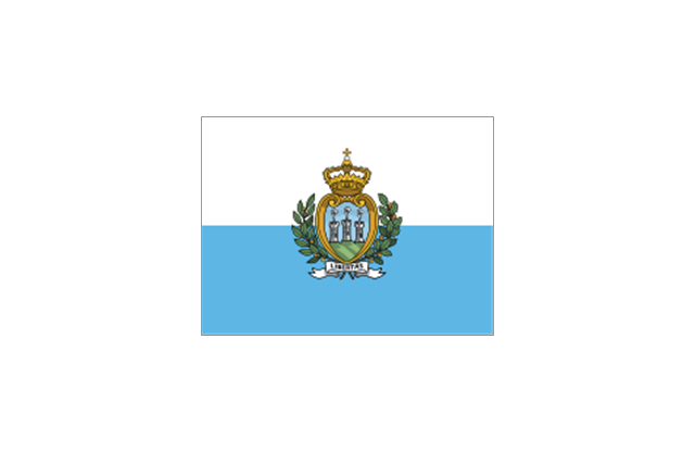
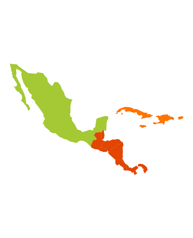
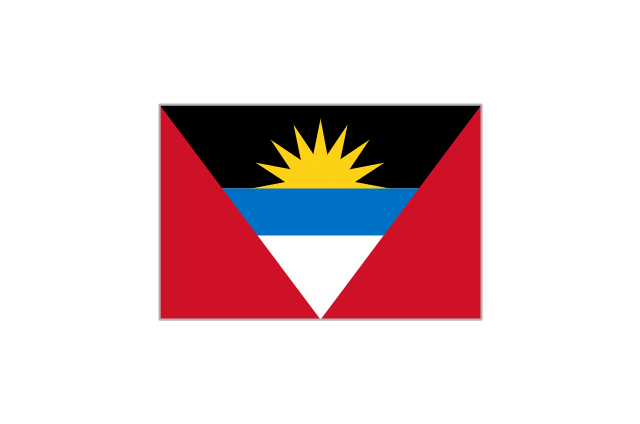
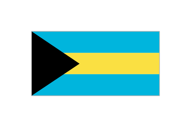
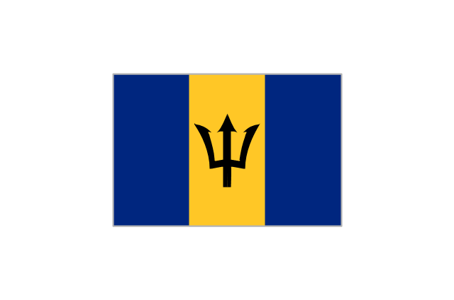
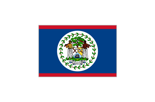
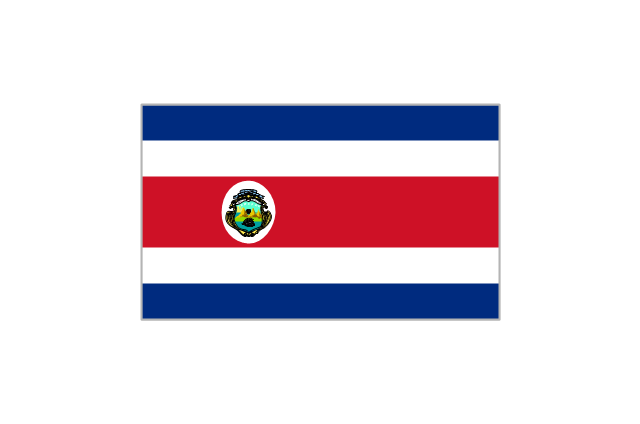
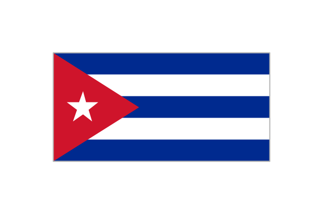
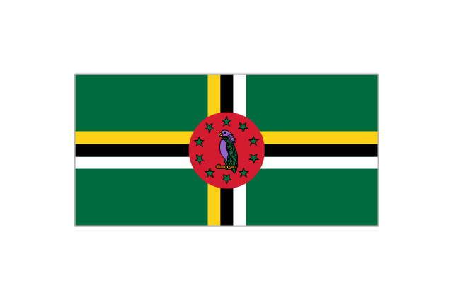
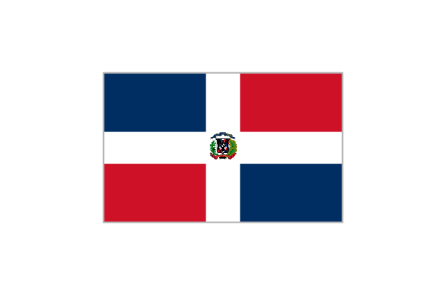
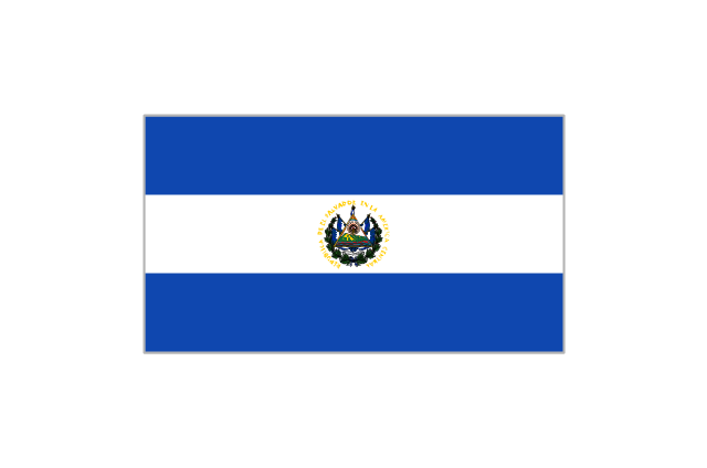
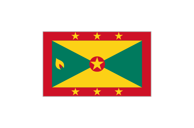
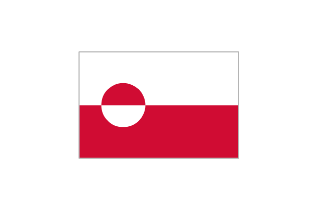
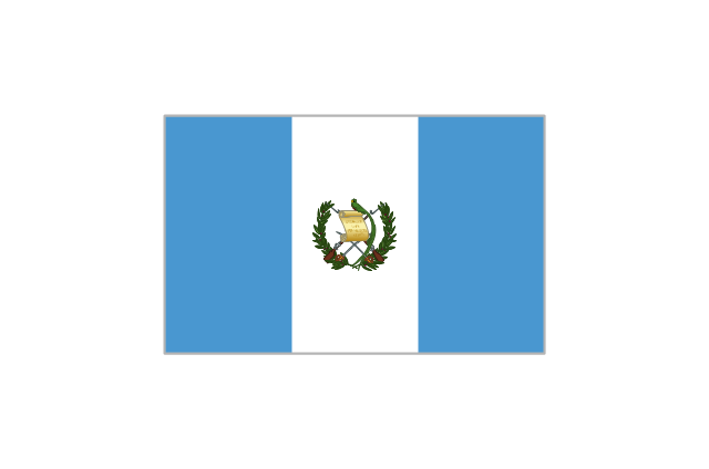
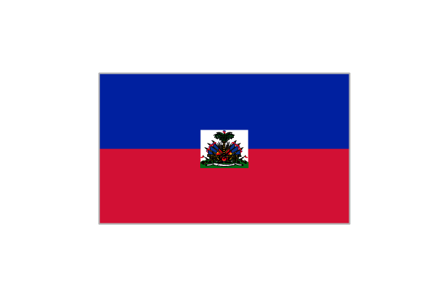
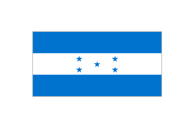
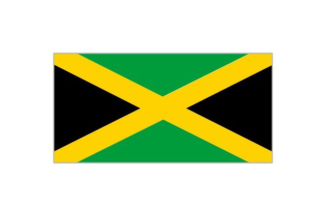
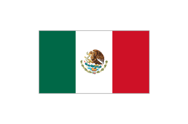
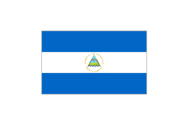
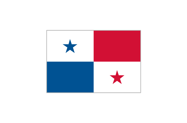
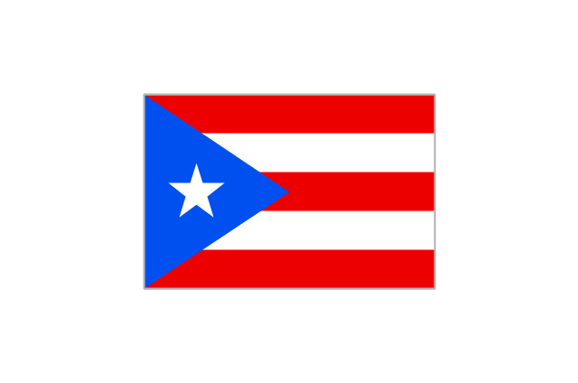
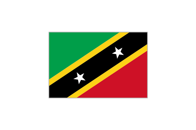
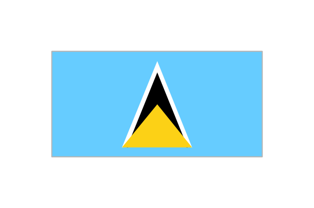
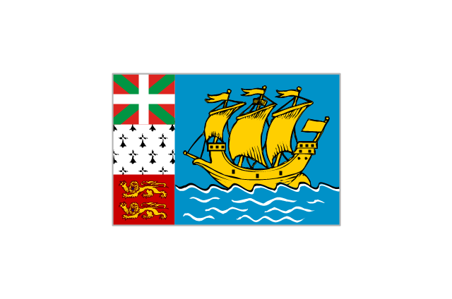
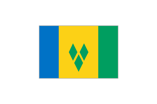
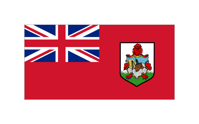
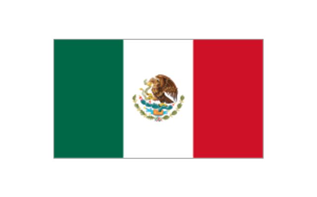
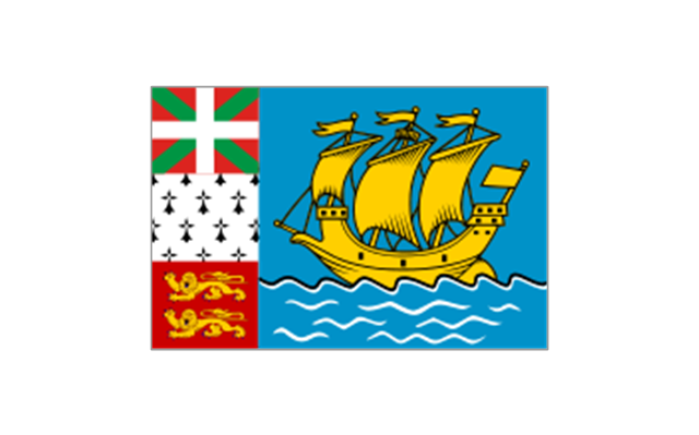
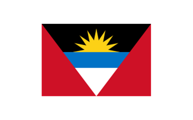
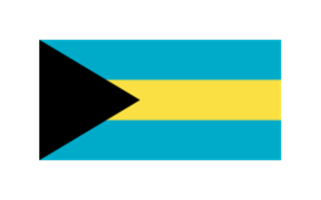
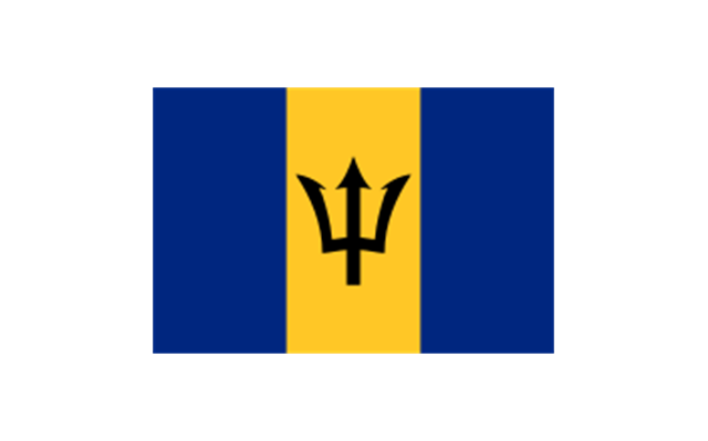
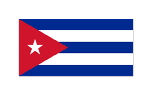
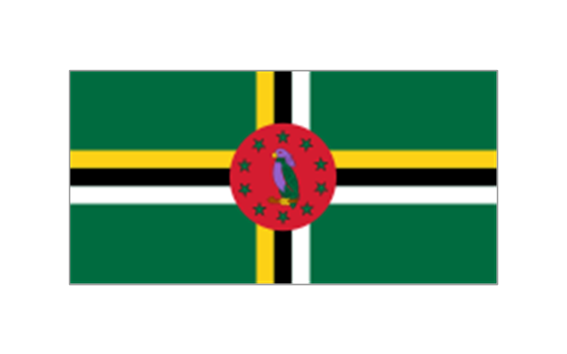
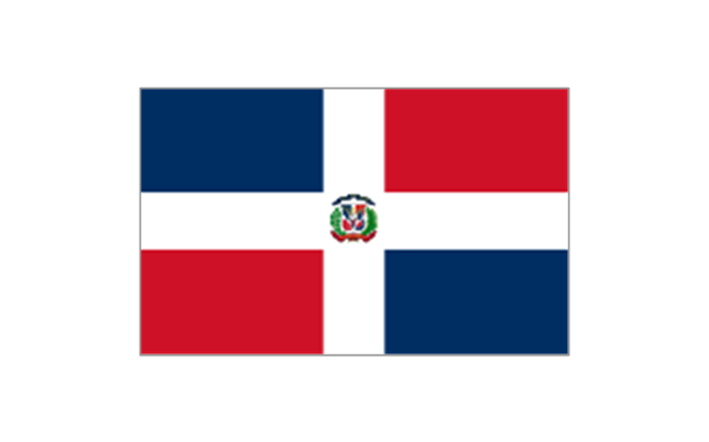
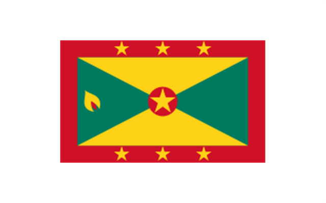
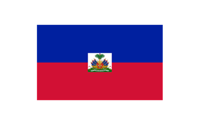
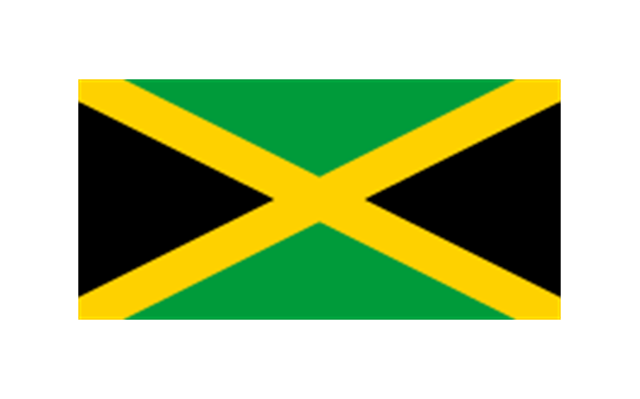
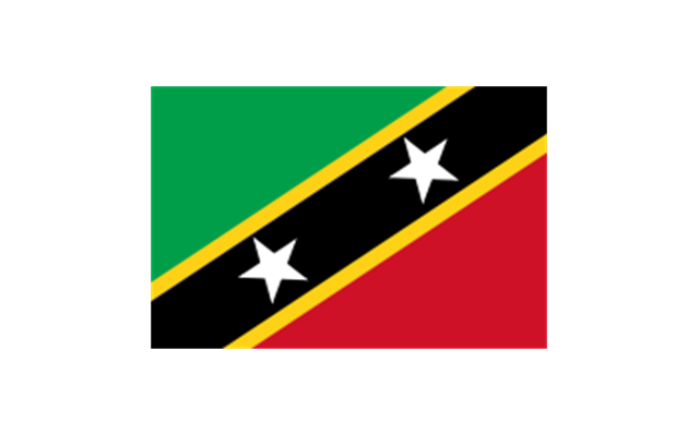
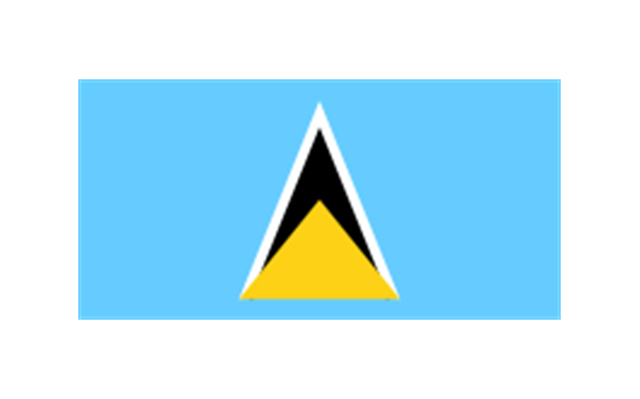
The stencils library "North and Central America flags" contains 35 clipart images of North and Central American countries state flags.
"Flags of North America.
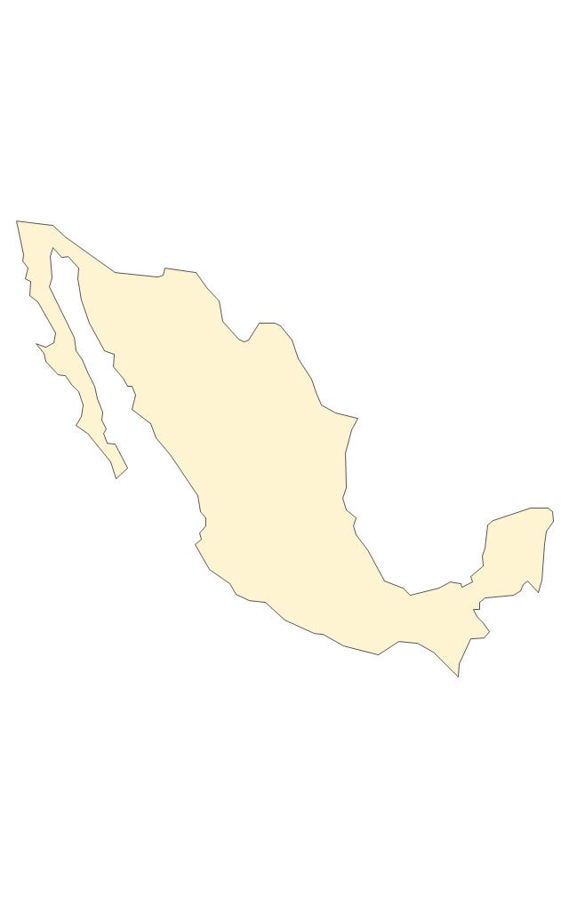
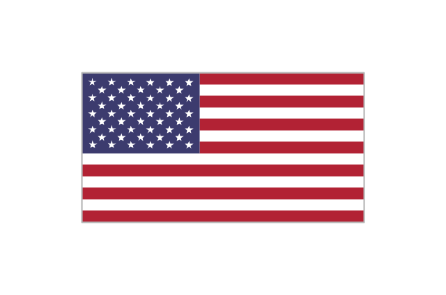
North America: Flag of Canada, Flag of Mexico, Flag of the United States.
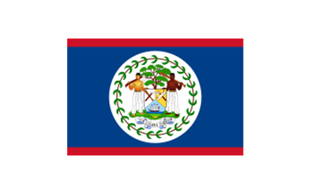
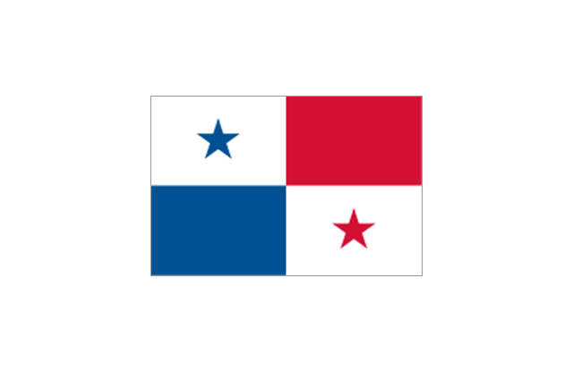
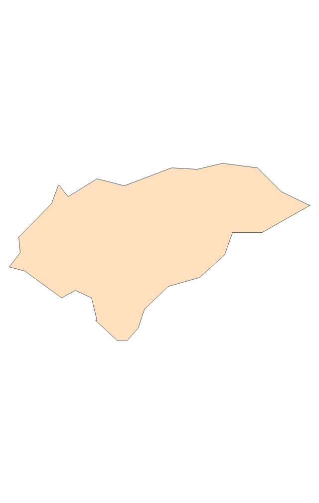
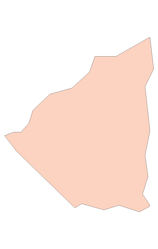
Central America: Flag of Belize, Flag of Costa Rica, Flag of El Salvador, Flag of Guatemala, Flag of Honduras, Flag of Nicaragua, Flag of Panama.
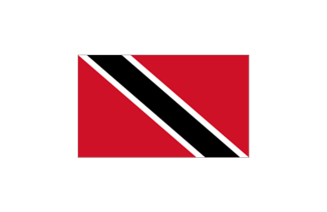
Caribbean: Flag of Anguilla (United Kingdom), Flag of Antigua and Barbuda, Flag of Aruba (Netherlands), Flag of the Bahamas, Flag of Barbados, Flag of Bonaire (Netherlands), Flag of the British Virgin Islands (United Kingdom), Flag of the Cayman Islands (United Kingdom), Flag of Cuba, Flag of Curacao (Netherlands), Flag of Dominica, Flag of the Dominican Republic, Flag of Grenada, Unofficial Flag of Guadeloupe (France), Flag of Haiti, Flag of Jamaica, Unofficial Flag of Martinique (France), Flag of Montserrat (United Kingdom), Unofficial Flag of Navassa Island (United States), Flag of Puerto Rico (United States), Flag of Saba (Netherlands), Unofficial Flag of Saint Barthelemy (France), Flag of Saint Kitts and Nevis, Flag of Saint Lucia, Unofficial Flag of Saint Martin (France), Flag of Saint Vincent and the Grenadines, Flag of Sint Eustatius (Netherlands), Flag of Sint Maarten (Netherlands), Flag of Trinidad and Tobago, Flag of the Turks and Caicos Islands (United Kingdom), Flag of the United States Virgin Islands (United States)." [Flags of North America. Wikipedia]
The clip art example "North and Central America flags - Stencils library" was created using the ConceptDraw PRO diagramming and vector drawing software extended with the Continent Maps solution from the Maps area of ConceptDraw Solution Park.
www.conceptdraw.com/ solution-park/ maps-continent
The vector stencils library "North and Central America country flags" contains 26 clipart images of North and Central American state flags. Use the North and Central American country flags clip art to illustrate your business documents, presentation slides, web pages, geo maps and infographics. The clip art example "North and Central America country flags - Vector stencils library" was created using the ConceptDraw PRO diagramming and vector drawing software extended with the Artwork solution from the Illustration area of ConceptDraw Solution Park.
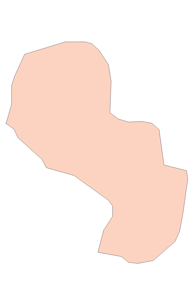
Geo Map - South America - Paraguay
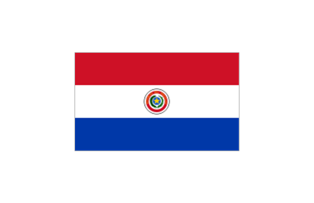
Paraguay, officially the Republic of Paraguay, is a landlocked country in South America, bordered by Argentina to the south and southwest, Brazil to the east and northeast, and Bolivia to the northwest. The vector stencils library Paraguay contains contours for ConceptDraw PRO diagramming and vector drawing software. This library is contained in the Continent Maps solution from Maps area of ConceptDraw Solution Park.Geo Map - South America - Panama
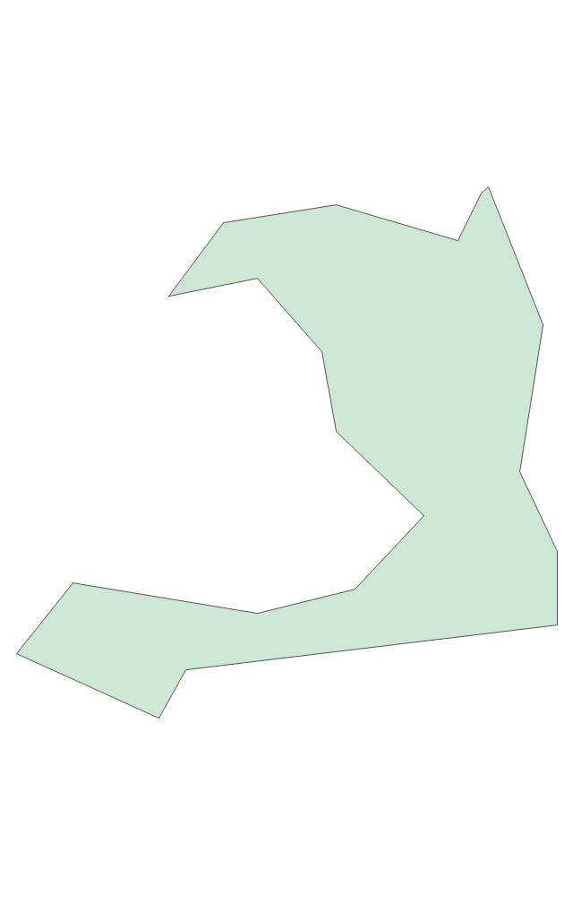
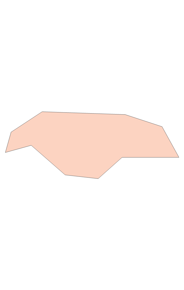
Panama, officially Republic of Panama, is the southernmost country of Central America and the whole of North America. The vector stencils library Panama contains contours for ConceptDraw PRO diagramming and vector drawing software. This library is contained in the Continent Maps solution from Maps area of ConceptDraw Solution Park.Geo Map - South America - Jamaica
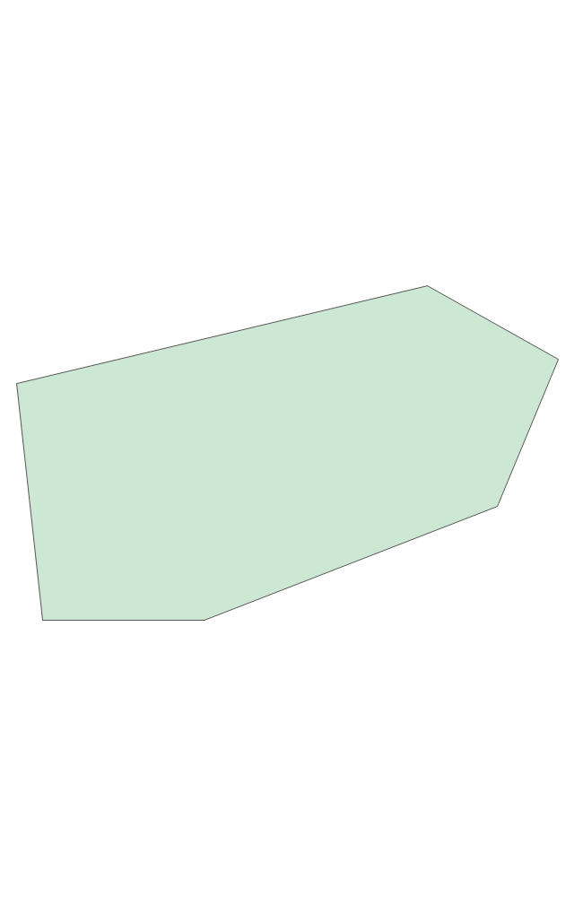
Jamaica is an island country situated in the Caribbean Sea, comprising the third-largest island of the Greater Antilles. The vector stencils library Jamaica contains contours for ConceptDraw PRO diagramming and vector drawing software. This library is contained in the Continent Maps solution from Maps area of ConceptDraw Solution Park.Geo Map - South America - Belize
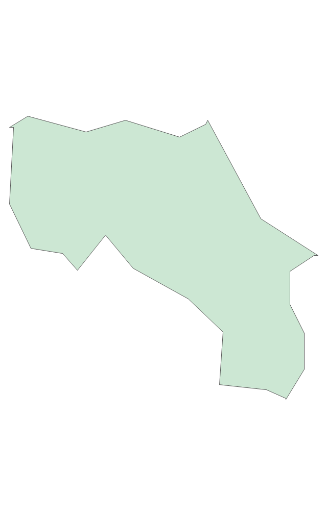
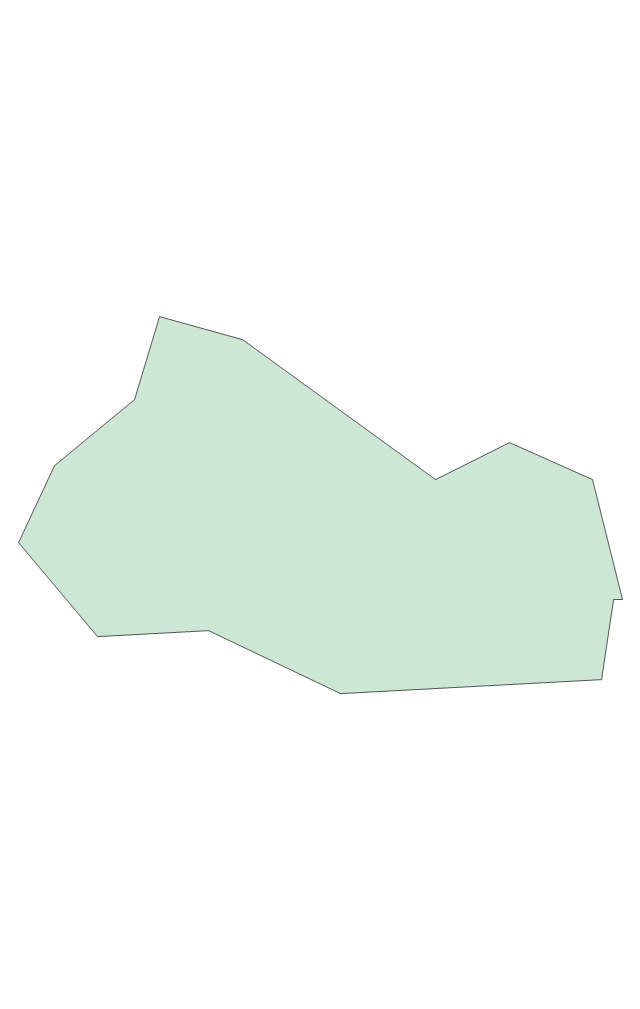
Belize is a country on the northeastern coast of Central America. The vector stencils library Belize contains contours for ConceptDraw PRO diagramming and vector drawing software. This library is contained in the Continent Maps solution from Maps area of ConceptDraw Solution Park.- Flags - Stencils library
- Mapa De Bolivia Png
- Latam Vector Map Png
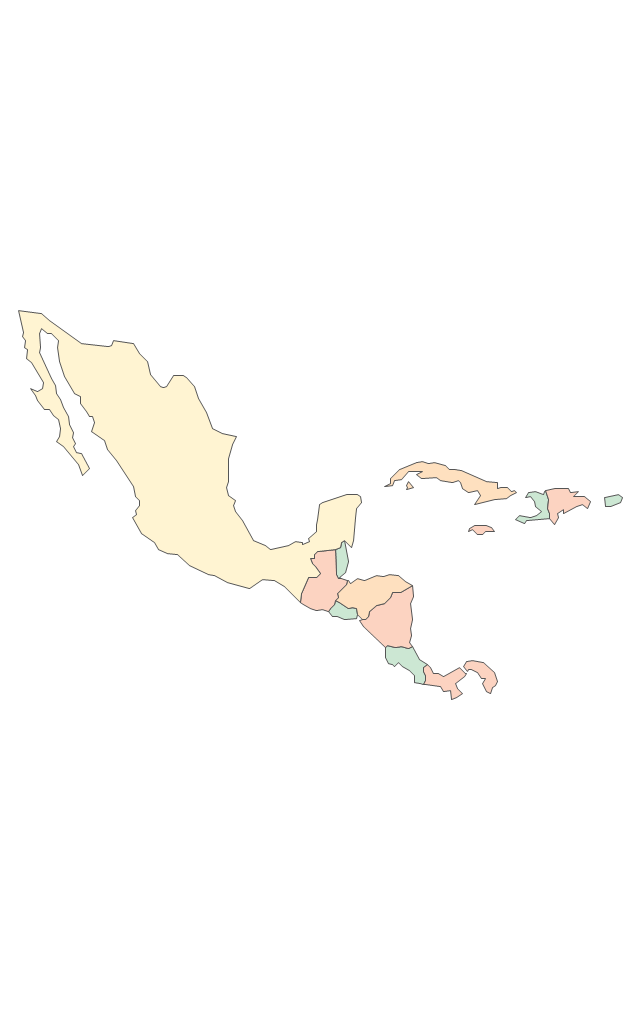
- North and Central America flags - Stencils library | Geo Map - South ...
- Caribbean Map Png
- Puerto Rico
- Puerto Rico Flag Stencil
- Puerto Rico
- North America - Vector stencils library | North America map with ...
- Flags - Stencils library | Bangladesh National Flag Flying Png
- Vector De Argentina En Png
- Latam Map Png
- Nigeria Map Png
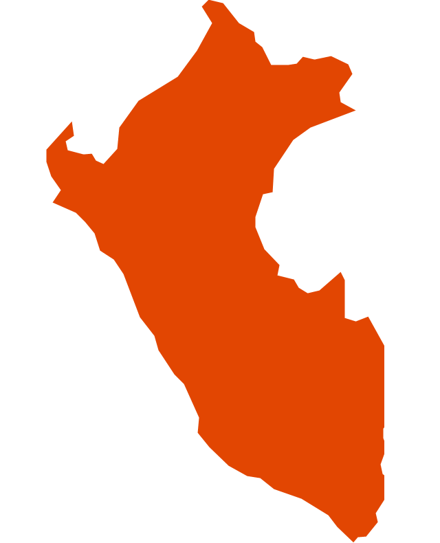
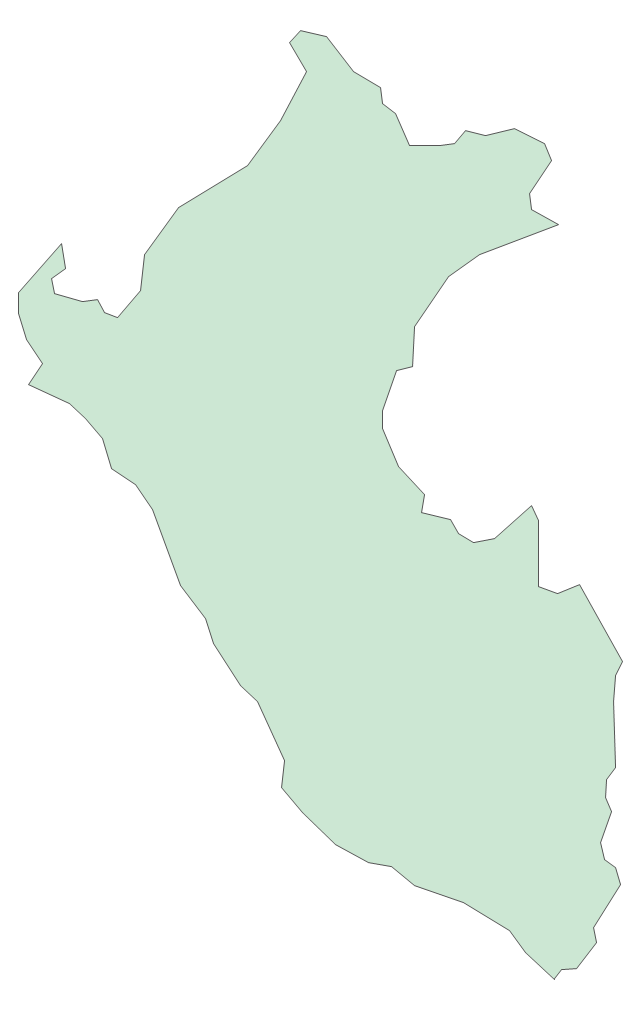
- Peru Map Png
- Geo Map - South America
- Png Ship
- New Zealand Map Png
- Statistic Vector Png
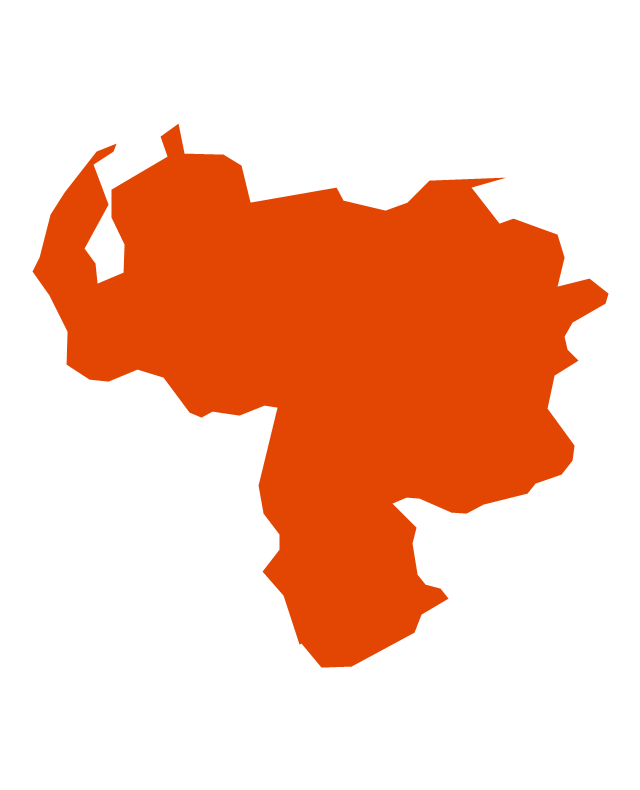
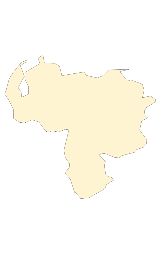
- Venezuela Png
- Latin America - Vector stencils library











































































-north-and-central-america-flags---stencils-library.png--diagram-flowchart-example.png)

-north-and-central-america-flags---stencils-library.png--diagram-flowchart-example.png)
-north-and-central-america-flags---stencils-library.png--diagram-flowchart-example.png)
-north-and-central-america-flags---stencils-library.png--diagram-flowchart-example.png)
-north-and-central-america-flags---stencils-library.png--diagram-flowchart-example.png)
-north-and-central-america-flags---stencils-library.png--diagram-flowchart-example.png)
-north-and-central-america-flags---stencils-library.png--diagram-flowchart-example.png)
-north-and-central-america-flags---stencils-library.png--diagram-flowchart-example.png)
-north-and-central-america-flags---stencils-library.png--diagram-flowchart-example.png)
