Geo Map - Europe
Europe is a continent that comprises the westernmost part of Eurasia.ConceptDraw PRO is idea to draw the geological maps of Europe from the pre-designed vector geo map shapes.
Use it to draw thematic maps, geospatial infographics and vector illustrations for your business documents, presentations and websites.
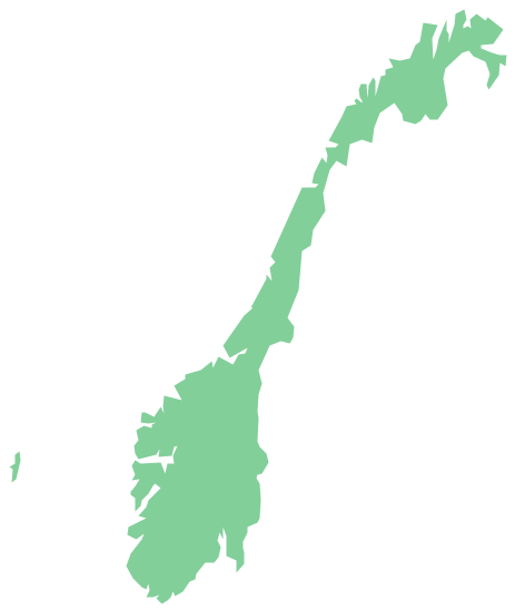
Geo Map - Europe - Norway
The vector stencils library Norway contains contours for ConceptDraw PRO diagramming and vector drawing software. This library is contained in the Continent Maps solution from Maps area of ConceptDraw Solution Park.- Spatial infographics Design Elements: Continental Map | Map ...
- Maps | Who in the world eats chocolate? | Design elements ...
- Design elements - State flags | Who in the world eats chocolate ...
- Geo Map - Europe - Serbia
- Political map of Europe | Tools to Create Your Own Infographics ...
- Yearly passing Bosphorus | Design elements - Watercraft ...

