Geo Map - USA - Ohio
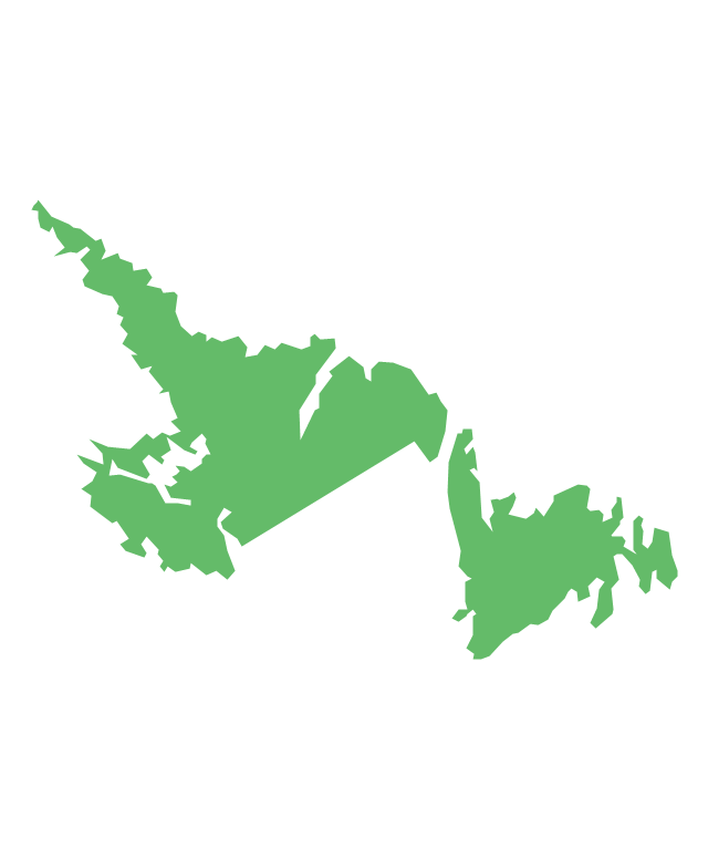
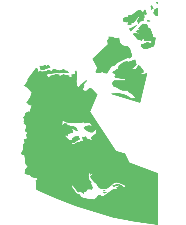
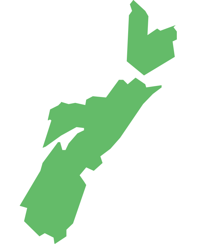
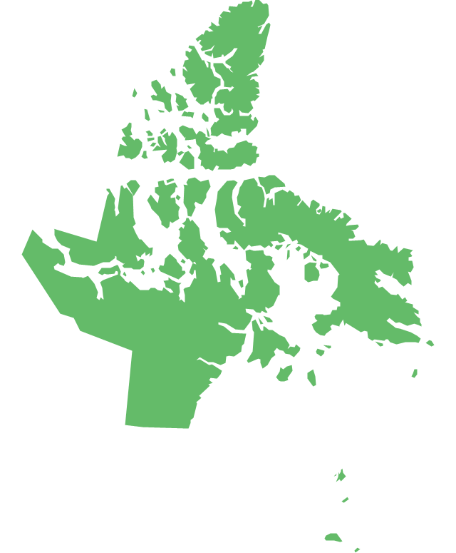
Ohio is a state in the Midwestern United States. The vector stencils library Ohio contains contours for ConceptDraw DIAGRAM diagramming and vector drawing software. This library is contained in the Continent Maps solution from Maps area of ConceptDraw Solution Park.The vector stencils library "North America" contains 70 contours for drawing thematic maps of North America in spatial infographics.
Use it for visual representation of geospatial information, statistics and quantitative data in the ConceptDraw PRO diagramming and vector drawing software extended with the Spatial Infographics solution from the area "What is Infographics" of ConceptDraw Solution Park.
Use it for visual representation of geospatial information, statistics and quantitative data in the ConceptDraw PRO diagramming and vector drawing software extended with the Spatial Infographics solution from the area "What is Infographics" of ConceptDraw Solution Park.
Geo Map Software
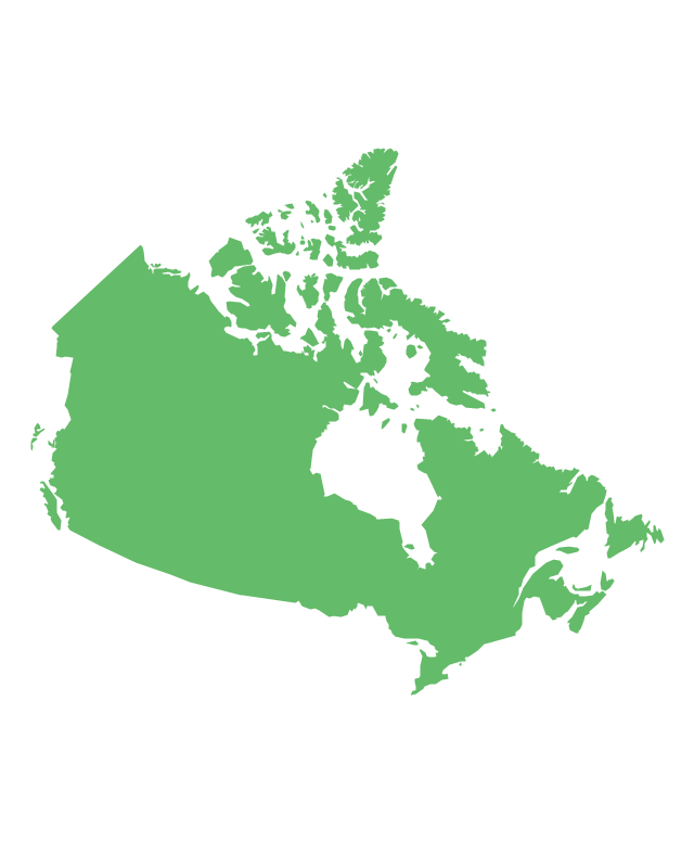
Geo Map Software - Full Geographic Reach of Your Business with Geo Map Shapes.Geo Map - Canada - Saskatchewan
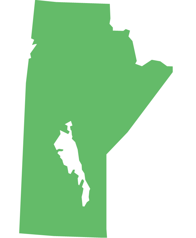
Saskatchewan is a prairie province in Canada, which has a total area of 651,900 square kilometres (251,700 sq mi) and a land area of 592,534 square kilometres (228,800 sq mi), the remainder being water area (covered by lakes/ponds, reservoirs and rivers). The vector stencils library Saskatchewan contains contours for ConceptDraw DIAGRAM diagramming and vector drawing software. This library is contained in the Continent Maps solution from Maps area of ConceptDraw Solution Park.Geo Map - USA - Kansas
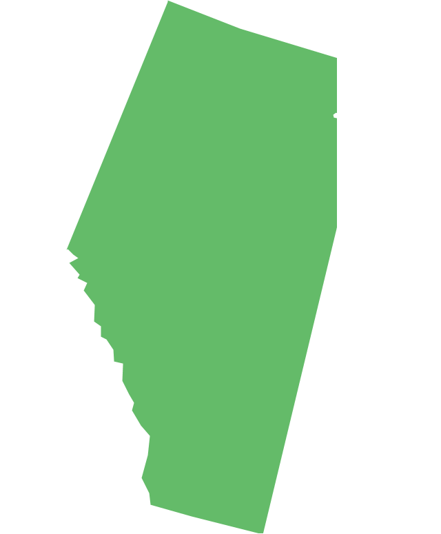
Kansas is a U.S. state located in the Midwestern United States. The vector stencils library Kansas contains contours for ConceptDraw DIAGRAM diagramming and vector drawing software. This library is contained in the Continent Maps solution from Maps area of ConceptDraw Solution Park.Geo Map - USA - Maine
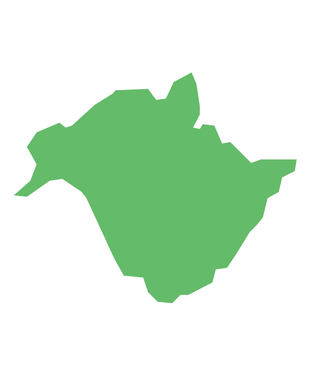
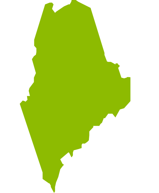
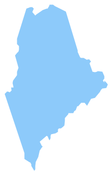
Maine is a state in the New England region of the northeastern United States, bordered by the Atlantic Ocean to the east and south; New Hampshire to the west; the Canadian provinces of Quebec to the northwest; and New Brunswick to the northeast. The vector stencils library Maine contains contours for ConceptDraw DIAGRAM diagramming and vector drawing software. This library is contained in the Continent Maps solution from Maps area of ConceptDraw Solution Park.Geo Map - USA - Illinois
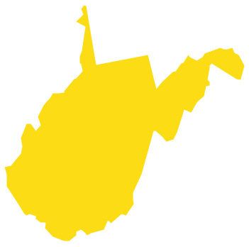
Illinois is a state in the Midwestern United States. It is the 5th most populous and 25th most extensive state, and is often noted as a microcosm of the entire country. The vector stencils library Illinois contains contours for ConceptDraw DIAGRAM diagramming and vector drawing software. This library is contained in the Continent Maps solution from Maps area of ConceptDraw Solution Park.Geo Map - USA - West Virginia
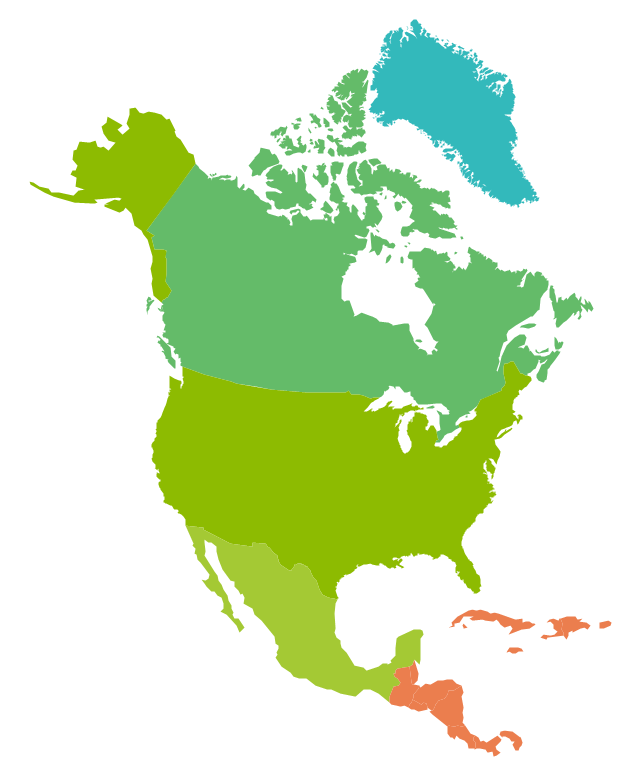
West Virginia is a U.S. state located in the Appalachian region of the Southern United States. The vector stencils library West Virginia contains contours for ConceptDraw DIAGRAM diagramming and vector drawing software. This library is contained in the Continent Maps solution from Maps area of ConceptDraw Solution Park.The vector stencils library "North America" contains 70 contours for drawing thematic maps of North America in spatial infographics.
Use it for visual representation of geospatial information, statistics and quantitative data in the ConceptDraw PRO diagramming and vector drawing software extended with the Spatial Infographics solution from the area "What is Infographics" of ConceptDraw Solution Park.
Use it for visual representation of geospatial information, statistics and quantitative data in the ConceptDraw PRO diagramming and vector drawing software extended with the Spatial Infographics solution from the area "What is Infographics" of ConceptDraw Solution Park.
Map of Continents
A continent is one of several very large landmasses on Earth. ConceptDraw DIAGRAM diagramming and vector drawing software offers the unique Continent Maps Solution from the Maps Area which is indispensable for drawing the map of continents of the Earth.- North America - Vector stencils library
- 7 Mahadeep
- 7 Mahadeep Image
- Mahadeep Area
- Organizational Charts | Example of Organizational Chart | Basic ...
- Audit flowchart - Claim data processing | Process Flowchart | Audit ...
- Vector Saskatchewan Parks Logo
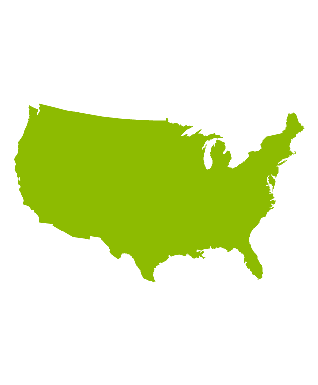
- Geo Map — United States of America Map | Geo Map — USA ...
- Examples of Flowcharts, Org Charts and More | Bipolar current ...
- Conventional and wireless ad hoc network | Cisco Network ...

-north-america---vector-stencils-library.png--diagram-flowchart-example.png)
-north-america---vector-stencils-library.png--diagram-flowchart-example.png)
