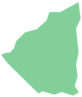
Geo Map - South America - Nicaragua
Nicaragua, officially the Republic of Nicaragua, is the largest country in the Central American isthmus, bordering Honduras to the north and Costa Rica to the south. The vector stencils library Nicaragua contains contours for ConceptDraw PRO diagramming and vector drawing software. This library is contained in the Continent Maps solution from Maps area of ConceptDraw Solution Park.Geo Map of Americas
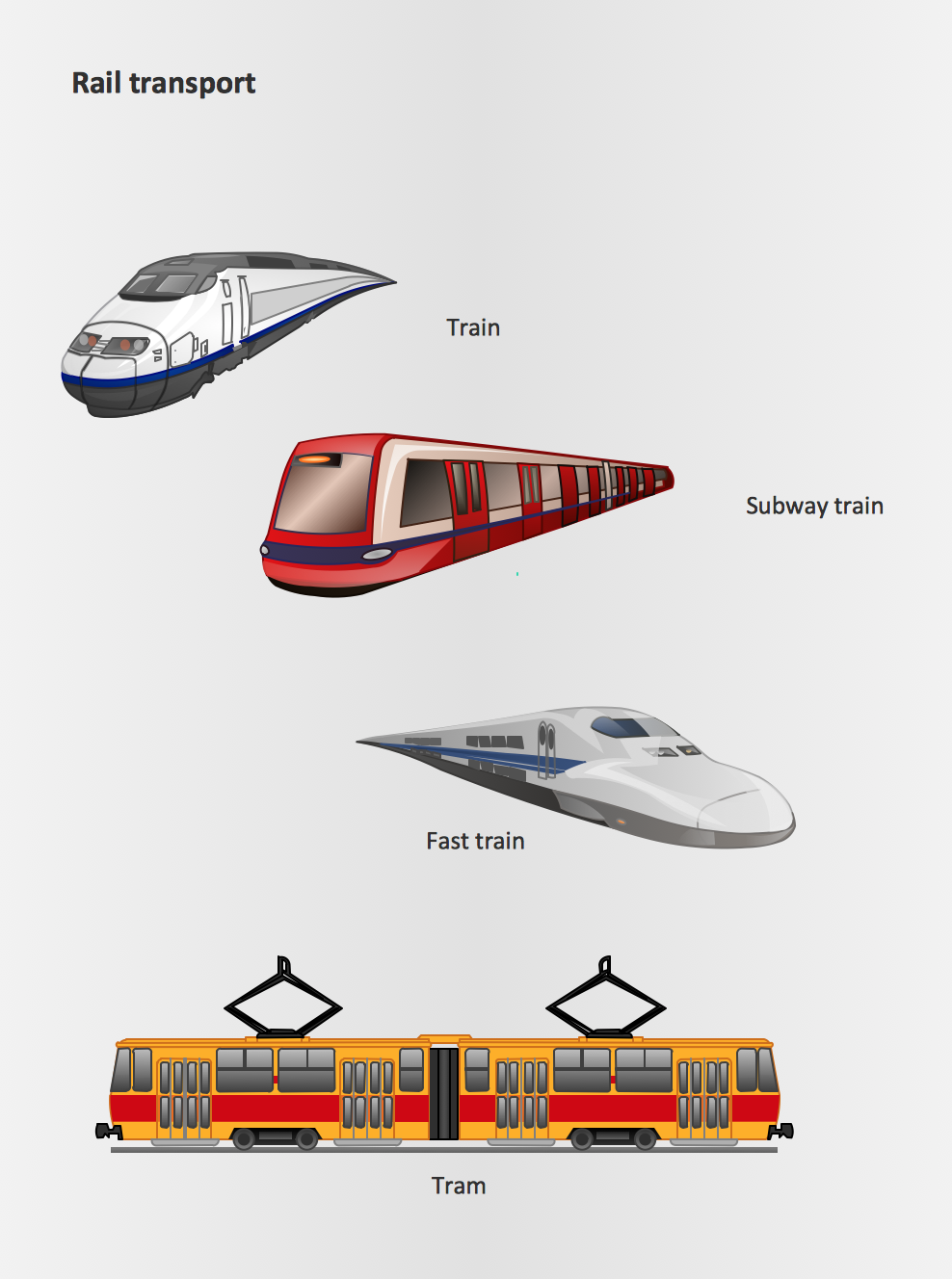
The Americas are the combined continental landmasses of North America and South America, in the Western Hemisphere. There are 35 sovereign states in the Americas. ConceptDraw is idea to draw the geological maps of America from the pre-designed vector geo map shapes and vector images map of america. Use Continent Maps solution from the Maps area of ConceptDraw Solution Park to draw thematic maps, geospatial infographics and vector illustrations for your business documents, presentations and websites.Rail transport - Design elements
The vector stencils library Rail transport contains clipart of railway transport for ConceptDraw PRO diagramming and vector drawing software. Use it to draw illustrations of trains and transportation of passengers and goods by railroads.
 Maps
Maps
This solution extends ConceptDraw PRO v9.4 with the specific tools necessary to help you draw continental, directional, road, or transit maps, to represent international, business, or professional information visually.
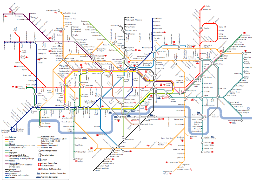
How to draw Metro Map style infographics? (London)
Tool to draw Metro Map styled inforgraphics. London Tube map sample.Types of Map - Overview
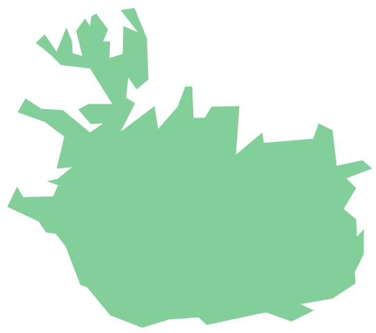
ConceptDraw defines some map types, divided into three categories. Every map type has specific shapes and examples.Geo Map - Europe - Iceland
The vector stencils library Iceland contains contours for ConceptDraw PRO diagramming and vector drawing software. This library is contained in the Continent Maps solution from Maps area of ConceptDraw Solution Park.Geo Map - USA - Connecticut
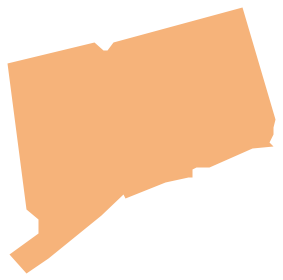
Connecticut is the southernmost state in the northeastern region of the United States known as New England. The vector stencils library Connecticut contains contours for ConceptDraw PRO diagramming and vector drawing software. This library is contained in the Continent Maps solution from Maps area of ConceptDraw Solution Park.World Continents Map
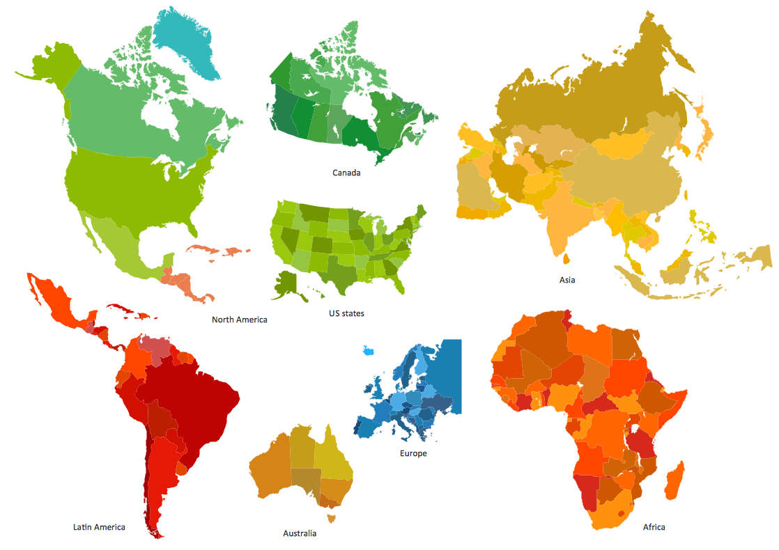
ConceptDraw PRO diagramming and vector drawing software enhanced with Continent Maps Solution from the Maps Area is the best for drawing geographic, topography, political, and many other kinds of maps for any of seven earth continents and also world continents map of any detailing.
 Continent Maps
Continent Maps solution extends ConceptDraw PRO software with templates, samples and libraries of vector stencils for drawing the thematic maps of continents, state maps of USA and Australia.
Geo Map - Europe - United Kingdom
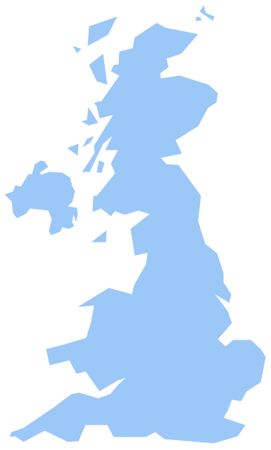
The vector stencils library United Kingdom contains contours for ConceptDraw PRO diagramming and vector drawing software. This library is contained in the Continent Maps solution from Maps area of ConceptDraw Solution Park.Geo Map - Africa - Morocco
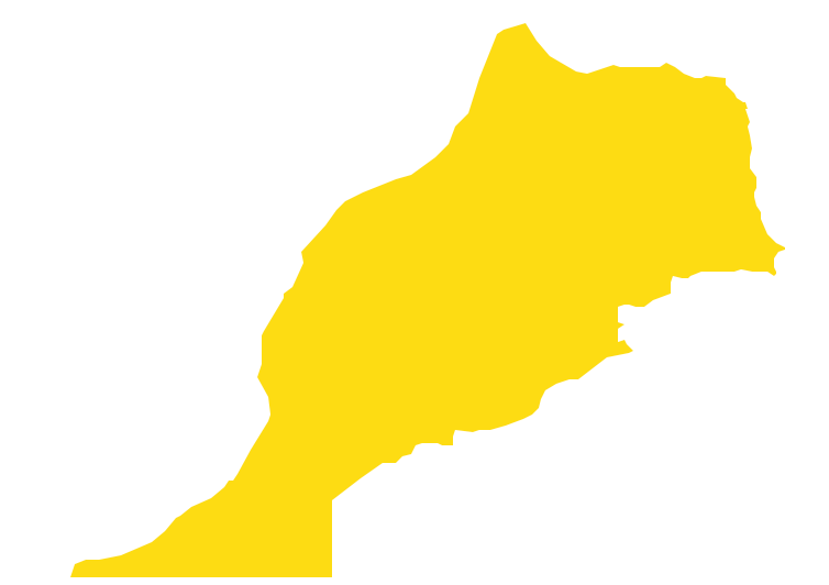
Morocco, officially the Kingdom of Morocco, is a country in the Maghreb region of North Africa. The vector stencils library Morocco contains contours for ConceptDraw PRO diagramming and vector drawing software. This library is contained in the Continent Maps solution from Maps area of ConceptDraw Solution Park.Geo Map - Canada - Nova Scotia
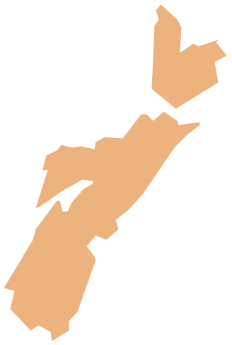
Nova Scotia is one of Canada's three Maritime provinces and constitutes one of the four Atlantic Canada provinces. The vector stencils library Nova Scotia contains contours for ConceptDraw PRO diagramming and vector drawing software. This library is contained in the Continent Maps solution from Maps area of ConceptDraw Solution Park.HelpDesk
How to Draw a Map of North America Using ConceptDraw PRO
Geographic maps, cardiograms, and thematic maps are often used for geographical visualization of business information. Any country can inspire a wealth of geopolitical statistical data. A common way of assimilating this data is to create maps that convey a particular theme or subject matter in relation to a specific geographical area. Known as thematic maps, they cover themes such as population density, average rainfall, or political allegiance, differentiating the data by using graphical elements and annotation. Thematic maps contrast general reference maps, which tend to display information on a variety of subjects — vegetation, topology, roads and highways, for example. A thematic map will always focus on one particular subject matter. ConceptDraw PRO can be helpful as a tool for creating maps of countries and regions of the world. It allows you to draw continental maps quickly and easily using the special templates and vector stencils libraries.Best Tool for Infographic Construction
ConceptDraw is a best data visualization tool that will allow everyone to create rich infographics and visualizations quickly and easily.- Geo Map - South America Continent | How to draw Metro Map style ...
- Geo Map - South America Continent | How to Support Your Mind ...
- Spatial Data Analysis | Software For Making Bus Route ...
- Rail transport - Design elements | Geo Map - South America ...
- Maps | Geo Map - South America Continent | Geo Map - Africa ...
- Conference centre location map | Transport map - Vector stencils ...
- Draw A Symbol Of A National Park On A Map
- Geo Map - South America - French Guiana | Geo Map - Europe ...
- Cross-Functional Process Map Template | How to Start Mind ...
- Geo Map - South America Continent | Geospatial Data | Geo Map ...
- Location Map Drawing
- Directional Maps | Geo Map - Asia | European membership of the ...
- Germany location map - Template | Spatial infographics Design ...
- USA Maps | Design elements - Location map | How To Draw ...
- Geo Map - World | Geo Map - Europe - Germany | Geo Map - South ...
- Advertising - Design Elements | 3D pictorial street map | Geo Map ...
- 3D pictorial street map | Geo Map - South America - Peru ...
- Geo Map - South America - Nicaragua | Building Drawing Design ...
- Design elements - Ponds and Fountains | Geo Map - South America ...
- Geo Map - South America Continent | Geo Map - Asia | Map of ...
