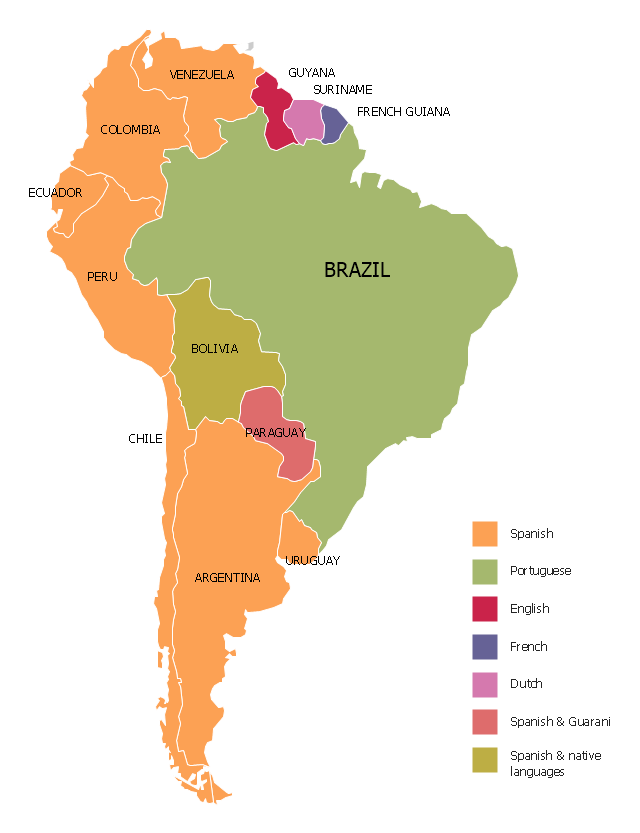
"Spanish and Portuguese are the most spoken languages in South America, with approximately 200 million speakers each. Spanish is the official language of most countries, along with other native languages in some countries. Portuguese is the official language of Brazil. Dutch is the official language of Suriname; English is the official language of Guyana, although there are at least twelve other languages spoken in the country, including Hindi and Arabic. English is also spoken in the Falkland Islands. French is the official language of French Guiana and the second language in Amapá, Brazil.
Indigenous languages of South America include Quechua in Ecuador, Peru, Chile, Argentina, Colombia, and Bolivia; Wayuunaiki in northern Colombia (La Guajira); Guaraní in Paraguay and, to a much lesser extent, in Bolivia; Aymara in Bolivia, Peru, and less often in Chile; and Mapudungun is spoken in certain pockets of southern Chile and, more rarely, Argentina. At least three South American indigenous languages (Quechua, Aymara, and Guarani) are recognized along with Spanish as national languages." [South America. Wikipedia]
The Languages of South America map example was redesigned from Wikimedia Commons file: Languages of South America (en).svg.
[commons.wikimedia.org/ wiki/ File:Languages_ of_ South_ America_ (en).svg]
This file is licensed under the Creative Commons Attribution-Share Alike 3.0 Unported license. [creativecommons.org/ licenses/ by-sa/ 3.0/ deed.en]
The Languages of South America map example was drawn using ConceptDraw PRO diagramming and vector drawing software extended with design elements library South America.
The Languages of South America map example is included in the Continent Maps solution from the Maps area of ConceptDraw Solution Park.
Geo Map - South America - Belize
Belize is a country on the northeastern coast of Central America.The vector stencils library Belize contains contours for ConceptDraw PRO diagramming and vector drawing software. This library is contained in the Continent Maps solution from Maps area of ConceptDraw Solution Park.
 Continent Maps
Continent Maps solution extends ConceptDraw PRO software with templates, samples and libraries of vector stencils for drawing the thematic maps of continents, state maps of USA and Australia.
Geo Map - South America - Haiti
Haiti, officially the Republic of Haiti, is a Caribbean country.The vector stencils library Haiti contains contours for ConceptDraw PRO diagramming and vector drawing software. This library is contained in the Continent Maps solution from Maps area of ConceptDraw Solution Park.
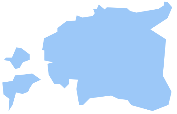
Geo Map - Europe - Estonia
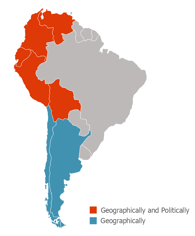
The vector stencils library Estonia contains contours for ConceptDraw PRO diagramming and vector drawing software. This library is contained in the Continent Maps solution from Maps area of ConceptDraw Solution Park."The Andean States are a group of nations in South America that are defined by sharing a common geography (Andes mountain range) or culture such as the Quechua language and Andean cuisine which was primarily spread during the times of the Inca Empire, but also before and after it. ...
The Andes occupy the western part of South America, stretching through the following countries: Colombia, Venezuela, Ecuador, Peru, Bolivia, Argentina (not considered to be -geopolitically- an Andean State), Chile (not considered to be -geopolitically- an Andean State)." [Andean states. Wikipedia]
This Andean states map was redesigned from Wikipedia file Andean States1.PNG.
[en.wikipedia.org/ wiki/ File:Andean_ States1.PNG]
This file is licensed under the Creative Commons Attribution-Share Alike 3.0 Unported license. [creativecommons.org/ licenses/ by-sa/ 3.0/ deed.en]
This Andean states political map example was drawn using the ConceptDraw PRO diagramming and vector drawing software extended with the design elements library South America. This example is included in the Continent Maps solution from the Maps area of ConceptDraw Solution Park.
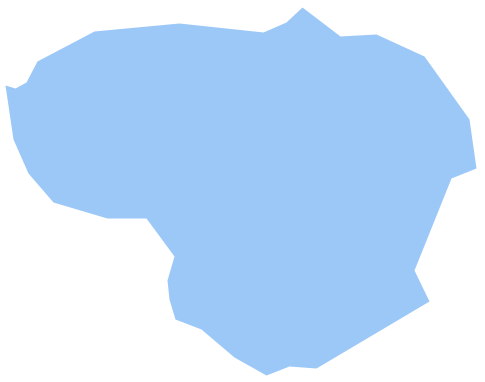
Geo Map - Europe - Lithuania
The vector stencils library Lithuania contains contours for ConceptDraw PRO diagramming and vector drawing software. This library is contained in the Continent Maps solution from Maps area of ConceptDraw Solution Park.Geo Map - Europe - Hungary
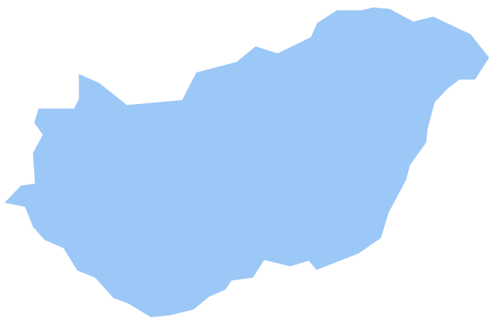
The vector stencils library Hungary contains contours for ConceptDraw PRO diagramming and vector drawing software. This library is contained in the Continent Maps solution from Maps area of ConceptDraw Solution Park.Geo Map - Europe - Austria
The vector stencils library Austria contains contours for ConceptDraw PRO diagramming and vector drawing software. This library is contained in the Continent Maps solution from Maps area of ConceptDraw Solution Park.Geo Map - Europe - Slovakia
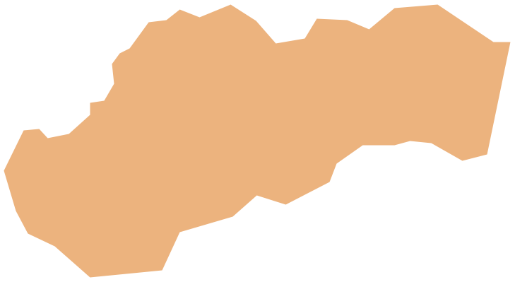
The vector stencils library Slovakia contains contours for ConceptDraw PRO diagramming and vector drawing software. This library is contained in the Continent Maps solution from Maps area of ConceptDraw Solution Park.Geo Map - Asia - Bangladesh
Bangladesh, officially the People's Republic of Bangladesh, is a country in South Asia.The vector stencils library Bangladesh contains contours for ConceptDraw PRO diagramming and vector drawing software. This library is contained in the Continent Maps solution from Maps area of ConceptDraw Solution Park.
Geo Map - Canada - Newfoundland and Labrador
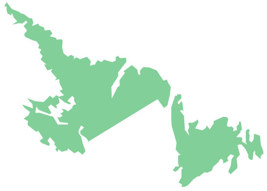
Newfoundland and Labrador is the easternmost province of Canada.The vector stencils library Newfoundland and Labrador contains contours for ConceptDraw PRO diagramming and vector drawing software. This library is contained in the Continent Maps solution from Maps area of ConceptDraw Solution Park.
Geo Map - Africa - Cameroon
Cameroon, officially the Republic of Cameroon, is a country in the west Central Africa region.The vector stencils library Cameroon contains contours for ConceptDraw PRO diagramming and vector drawing software. This library is contained in the Continent Maps solution from Maps area of ConceptDraw Solution Park.
Geo Map - Africa - Liberia
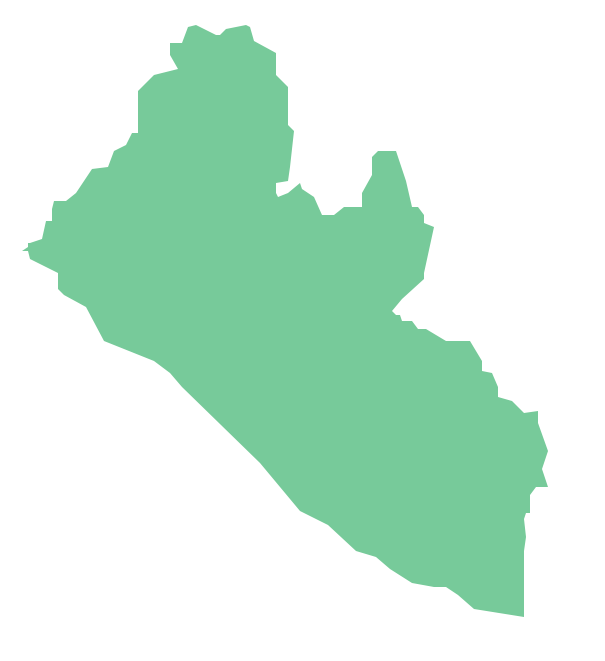
Liberia, officially the Republic of Liberia, is a country in West Africa bordered by Sierra Leone to its west, Guinea to its north and Ivory Coast to its east.The vector stencils library Liberia contains contours for ConceptDraw PRO diagramming and vector drawing software. This library is contained in the Continent Maps solution from Maps area of ConceptDraw Solution Park.
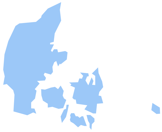
Geo Map - Europe - Denmark
The vector stencils library Denmark contains contours for ConceptDraw PRO diagramming and vector drawing software. This library is contained in the Continent Maps solution from Maps area of ConceptDraw Solution Park.- Languages of South America - Thematic map | Continent Maps ...
- Languages of South America - Thematic map | Geo Map - South ...
- Languages of South America - Thematic map | Geo Map - South ...
- Languages of South America - Thematic map | Geo Map - South ...
- Languages of South America - Thematic map | South America map ...
- Languages of South America - Thematic map | Visualization Spatial ...
- Languages of South America - Thematic map
- Geo Map - South America - Argentina | Argentina in South America ...
- Geo Map - South America Continent | Languages of South America ...
- Languages of South America - Thematic map | Geo Map of Americas ...
- Languages of South America - Thematic map | Horizontal bar chart ...
- Bar Chart Software | Languages of South America - Thematic map ...
- Languages of South America - Thematic map | Geo Map - South ...
- | Geo Map - South America - Peru | Geo Map - South America ...
- Languages of South America - Thematic map | Geo Map - South ...
- Languages of South America - Thematic map | Geo Map - South ...
- South America map with capitals - Template | North America map ...
- Geo Map - South America - Bolivia
- Geo Map - South America Continent | Design elements - South ...
- Southern Cone - Political map | South America regions - Political ...
