Geo Map - Asia - Papua New Guinea

"South Asia or Southern Asia is the southern region of the Asian continent, which comprises the sub-Himalayan countries and, for some authorities, adjoining countries to the west and east. Topographically, it is dominated by the Indian Plate, which rises above sea level as northern parts of India south of the Himalayas and the Hindu Kush. South Asia is bounded on the south by the Indian Ocean and on land (clockwise, from west) by West Asia, Central Asia, East Asia, and Southeast Asia.
The current territories of Bangladesh, India, Sri Lanka and Pakistan form the core countries of South Asia, while Nepal, Bhutan and Maldives are generally included, and Afghanistan and Myanmar often added. By various deviating definitions based on often substantially different reasons, the British Indian Ocean Territory, Mauritius, Iran and the Tibet Autonomous Region are included as well. With the 7 core countries considered, South Asia is home to well over one fifth of the world's population, making it both the most populous and the most densely populated geographical region in the world. The South Asian Association for Regional Cooperation is an economic cooperation organisation in the region which was established in 1985." [South Asia. Wikipedia]
This political map sample was redesigned from the Wikimedia Commons file: South Asia (ed)update.PNG.
[commons.wikimedia.org/ wiki/ File:South_ Asia_ %28ed%29update.PNG]
The example "South Asia - Political map" was created using the ConceptDraw PRO diagramming and vector drawing software extended with the Continent Maps solution from the Maps area of ConceptDraw Solution Park.
Political map - South Asia

Geo Map — Asia — Indonesia

Geo Map — Asia

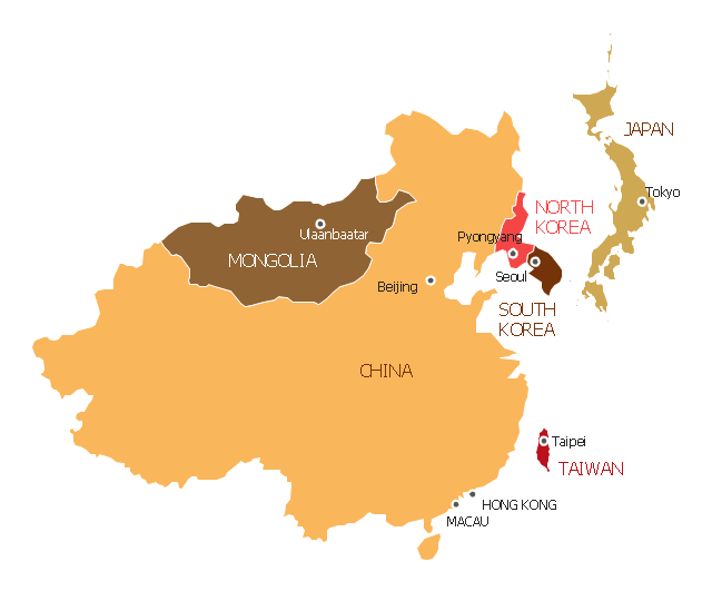
"East Asia or Eastern Asia (the latter form preferred solely by the United Nations) is a subregion of Asia that can be defined in either geographical or cultural terms. ...
The UN subregion of Eastern Asia and other common definitions of East Asia contain the entirety of the People's Republic of China, Japan, North Korea, South Korea, Mongolia and Taiwan.
Culturally, China, Japan, Korea, Taiwan, and Vietnam are commonly seen as being encompassed by cultural East Asia." [East Asia. Wikipedia]
This East Asia map was redesigned from Wikimedia Commons file: Map of East Asia.png. [commons.wikimedia.org/ wiki/ File:Map_ of_ East_ Asia.png]
This file is licensed under the Creative Commons Attribution-Share Alike 3.0 Unported license. [creativecommons.org/ licenses/ by-sa/ 3.0/ deed.en]
The example "East Asia - Political map" was created using the ConceptDraw PRO diagramming and vector drawing software extended with the Continent Maps solution from the Maps area of ConceptDraw Solution Park.
Political map - Eastern Asia
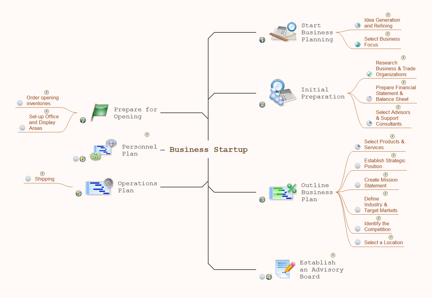
How To Do A Mind Map In PowerPoint
Geo Map - Asia - Sri Lanka

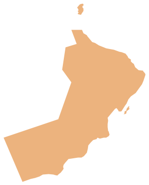
Geo Map - Asia - Oman
Geo Map - Asia - Bhutan

Geo Map - Asia - Lebanon
- Asia Map Png
- Geo Map - Asia - Bhutan | South Asia - Political map | Geo Map ...
- Asia Drawing Map Png
- Geo Map - Asia - Papua New Guinea
- Geo Map - Asia - India | Asia map with capitals - Template ...
- South Asia - Political map | Map Of Pakistan Png
- Asia Map Logo Png
- Geo Map - Asia - India | South Asia - Political map | East Africa ...
- Geo Map - Asia - Papua New Guinea | Geo Map — Asia ...
- Geo Map - Asia - Papua New Guinea