The vector stencils library "Winter Olympics pictograms" contains 29 pictograms and silhouettes.
Use it for drawing Winter Olympics diagrams, infographics and illustrations in the ConceptDraw PRO diagramming and vector drawing software extended with the Winter Sports solution from the Sport area of ConceptDraw Solution Park.
Use it for drawing Winter Olympics diagrams, infographics and illustrations in the ConceptDraw PRO diagramming and vector drawing software extended with the Winter Sports solution from the Sport area of ConceptDraw Solution Park.
Geo Map - South America - Peru
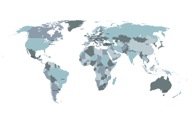
Peru, officially the Republic of Peru, is a country in western South America. The history of Peru goes back to the distant past and its divided into several main stages. Geography of Peru is also diverse - there is a desert, as well as the ocean coast, and of course the mountain ranges. The Continent Maps solution from Maps area of ConceptDraw Solution Park provides stencil library Peru, which is made up of well-designed vector shapes delivering easy experience in creating diagrams with ConceptDraw Pro software. All ConceptDraw PRO documents are vector graphic files and are available for reviewing, modifying, and converting to a variety of formats: image, HTML, PDF file, MS PowerPoint Presentation, Adobe Flash, MS Visio (.VDX, .VSDX).Geo Map - World
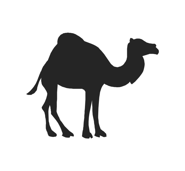
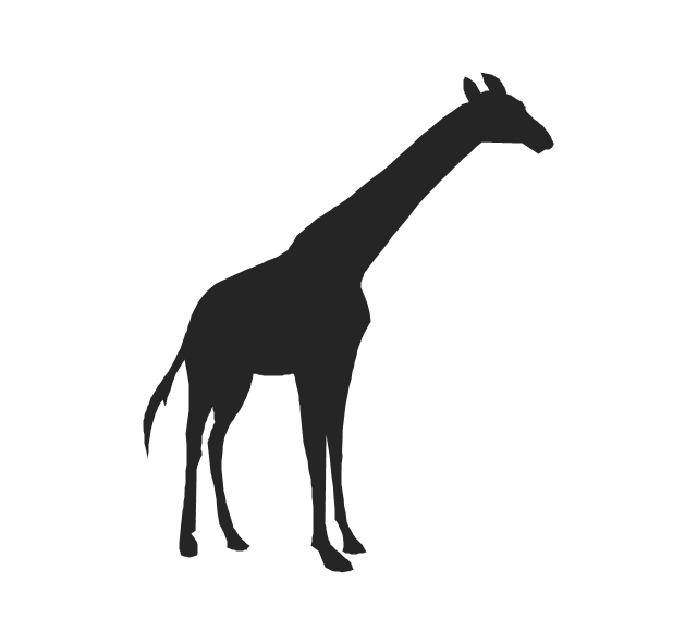
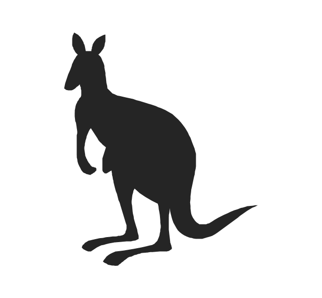
ConceptDraw PRO is idea to draw the geological maps of World from the pre-designed vector geo map shapes.The vector stencils library "Animals" contains 24 silhouettes clipart of animals for drawing illustrations.
"Animals are divided into various sub-groups, some of which are: vertebrates (birds, mammals, amphibians, reptiles, fish); mollusks (clams, oysters, octopuses, squid, snails); arthropods (millipedes, centipedes, insects, spiders, scorpions, crabs, lobsters, shrimp); annelids (earthworms, leeches); sponges; and jellyfish." [Animal. Wikipedia]
The silhouettes clip art example "Animals - Vector stencils library" was created using the ConceptDraw PRO diagramming and vector drawing software extended with the Nature solution from the Illustration area of ConceptDraw Solution Park.
www.conceptdraw.com/ solution-park/ illustrations-nature
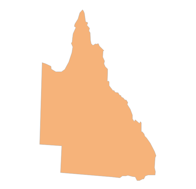
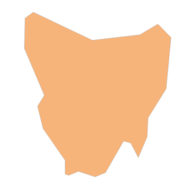
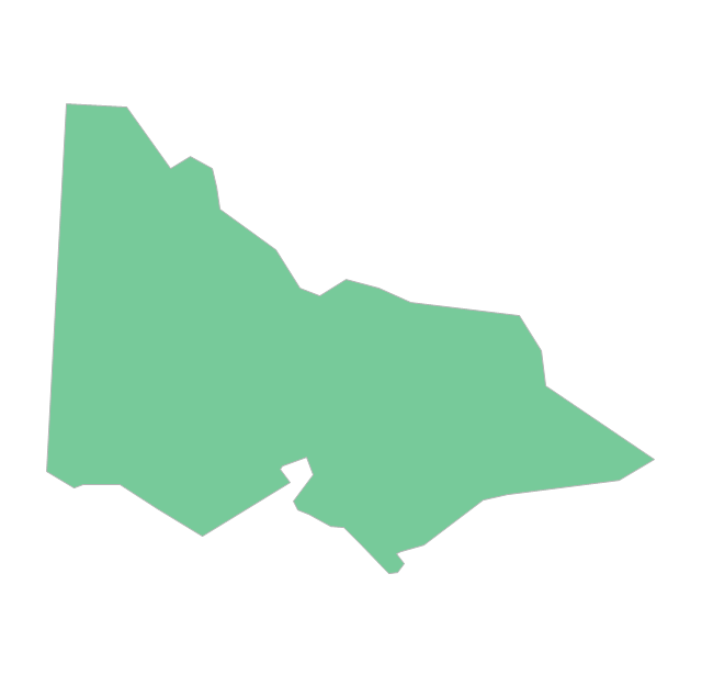
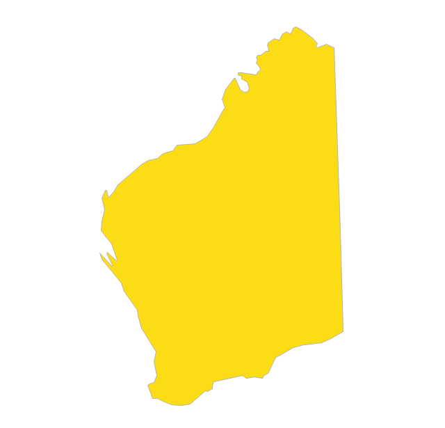
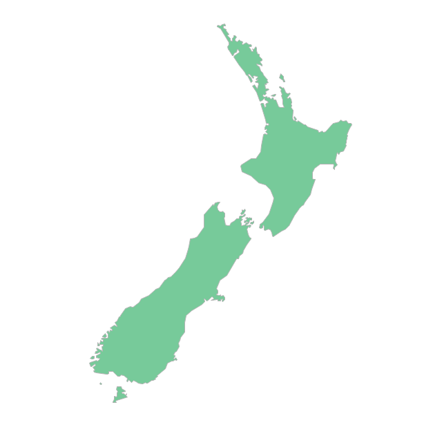
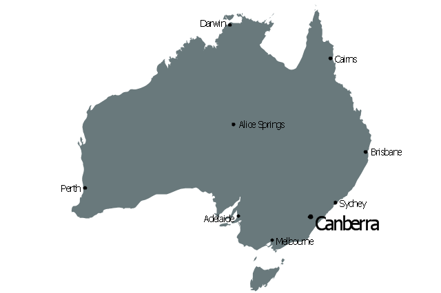
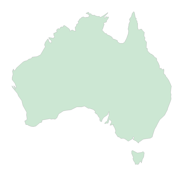
The vector stencils library "Australia" contains 10 Australian states and territories, and New Zealand map contours for drawing thematic maps of Australia and New Zealand. Use it for visual representation of geospatial information, statistics and quantitative data.
"Australia has six states - New South Wales (NSW), Queensland (QLD), South Australia (SA), Tasmania (TAS), Victoria (VIC) and Western Australia (WA) - and two major mainland territories - the Australian Capital Territory (ACT) and the Northern Territory (NT)." [Australia. Wikipedia]
The map contours example "Australia and New Zealand - Vector stencils library" was created using the ConceptDraw PRO diagramming and vector drawing software extended with the Continent Maps solution from the Maps area of ConceptDraw Solution Park.
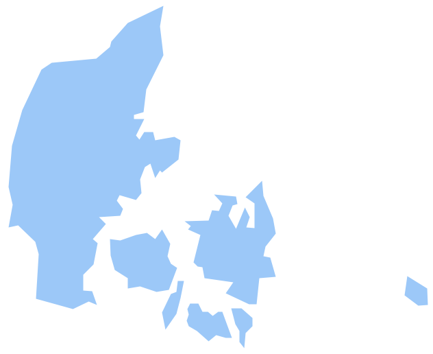
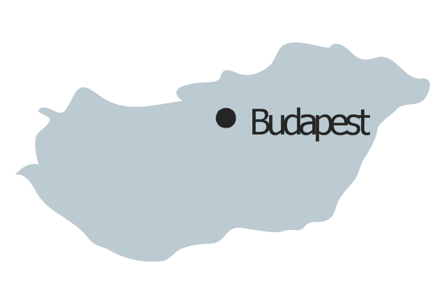
Geo Map - Europe - Denmark
The vector stencils library Denmark contains contours for ConceptDraw PRO diagramming and vector drawing software. This library is contained in the Continent Maps solution from Maps area of ConceptDraw Solution Park.The vector stencils library "Management maps" contains 44 map contours: G-20 state maps, EU state maps and world map.
Use it to create your management infogram in the ConceptDraw PRO diagramming and vector drawing software.
The state map contours example "Management maps - Vector stencils library" is included in the solution "Marketing infographics" from the "Business infographics" area of ConceptDraw Solution Park.
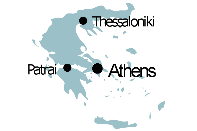
Geo Map - Europe - Greece
Greece is strategically located at the crossroads of Europe, Asia, and Africa. The vector stencils library Greece contains contours for ConceptDraw PRO diagramming and vector drawing software. This library is contained in the Continent Maps solution from Maps area of ConceptDraw Solution Park.Geo Map — Europe — France
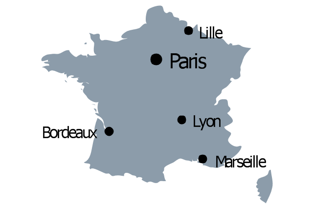
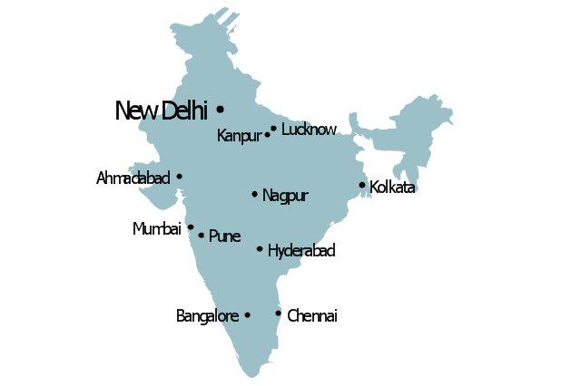
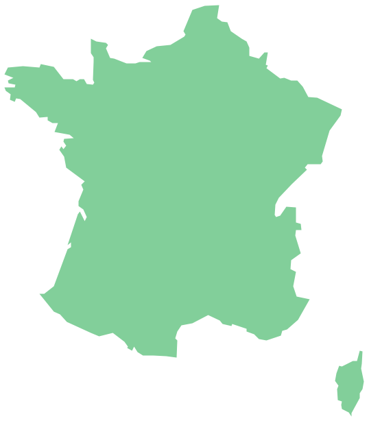
The vector stencils library France contains contours for ConceptDraw PRO diagramming and vector drawing software. This library is contained in the Continent Maps solution from Maps area of ConceptDraw Solution Park.Geo Map - Asia - India
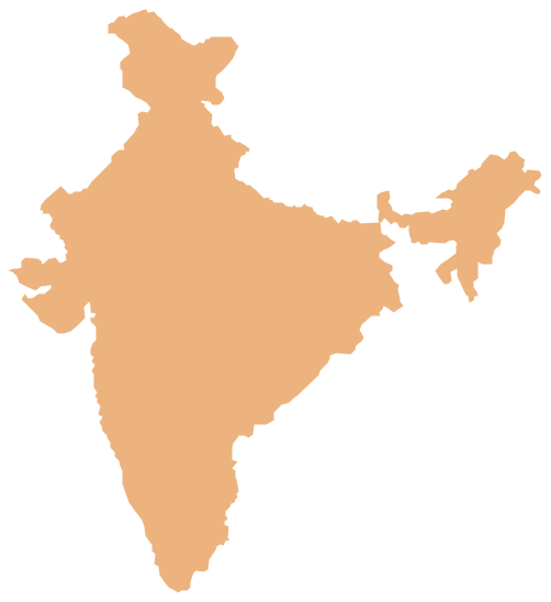
India, officially the Republic of India (Bharat Ganrajya), is a country in South Asia. The vector stencils library India contains contours for ConceptDraw PRO diagramming and vector drawing software. This library is contained in the Continent Maps solution from Maps area of ConceptDraw Solution Park.Geo Map - USA - Montana
Montana is a state in the Western United States. The vector stencils library Montana contains contours for ConceptDraw PRO diagramming and vector drawing software. This library is contained in the Continent Maps solution from Maps area of ConceptDraw Solution Park.Geo Map — South America Continent
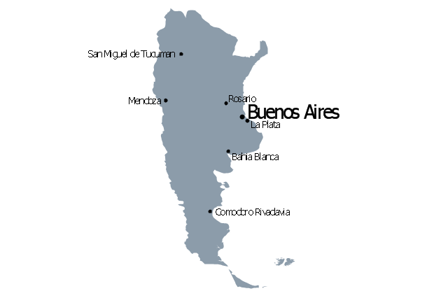
South America includes 12 sovereign states. ConceptDraw PRO is idea to draw the geological maps of South America continent from the pre-designed vector geo map shapes. Use Continent Maps solution from the Maps area of ConceptDraw Solution Park to draw thematic maps, geospatial infographics and vector illustrations for your business documents, presentations and websites.Geo Map - South America - Chile
Chile, officially the Republic of Chile, is a South American country occupying a long, narrow strip of land between the Andes mountains to the east and the Pacific Ocean to the west. The vector stencils library Chile contains contours for ConceptDraw PRO diagramming and vector drawing software. This library is contained in the Continent Maps solution from Maps area of ConceptDraw Solution Park.Geo Map - Africa - Kenya
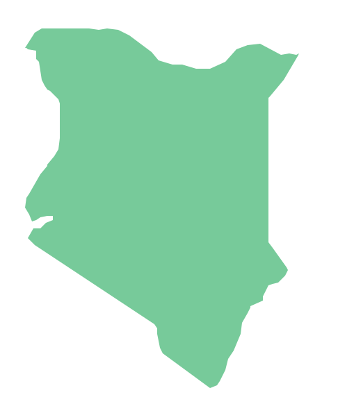
Kenya, officially the Republic of Kenya, is a sovereign state in the African Great Lakes region of East Africa. The vector stencils library Kenya contains contours for ConceptDraw PRO diagramming and vector drawing software. This library is contained in the Continent Maps solution from Maps area of ConceptDraw Solution Park.Geo Map - Africa - Tanzania
Tanzania, officially the United Republic of Tanzania (Swahili: Jamhuri ya Muungano wa Tanzania), is a country in East Africa in the African Great Lakes region. The vector stencils library Tanzania contains contours for ConceptDraw PRO diagramming and vector drawing software. This library is contained in the Continent Maps solution from Maps area of ConceptDraw Solution Park.- Ski lift in the snow capped mountains | Geography - Vector stencils ...
- Geography - Vector stencils library
- Geography - Vector stencils library | Water cycle diagram | Flat ...
- Design elements - Geography | Geography - Vector stencils library ...
- Winter Olympics pictograms - Vector stencils library | Winter ...
- Winter Sports | Winter Olympics pictograms - Vector stencils library ...
- Winter Olympics pictograms - Vector stencils library | Winter ...
- Winter Olympics pictograms - Vector stencils library | Bathroom ...
- Computer peripheral devices - Vector stencils library | Design ...
- Latin America - Vector stencils library | Geo Map - South America ...
- Computers and network isometric - Vector stencils library ...
- Ice Hockey Offside Diagram | Winter Olympics pictograms - Vector ...
- Australia and New Zealand - Vector stencils library | Australia and ...
- Offshore Visio Stencil
- Amazon Cloud Computing Architecture | Geo Mapping Software ...
- Easy Steps To Draw North America Outline Map
- School layout - Vector stencils library | Cafe and restaurant - Vector ...
- Process Flow Diagram Symbols | Computers and network isometric ...
- Telecommunication networks - Vector stencils library | Electrical ...
- Continent Stencil


















































-australia-and-new-zealand---vector-stencils-library.png--diagram-flowchart-example.png)
