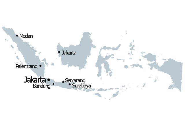
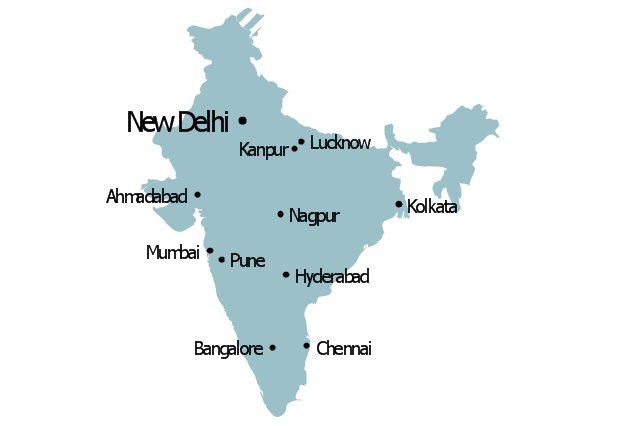
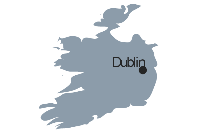
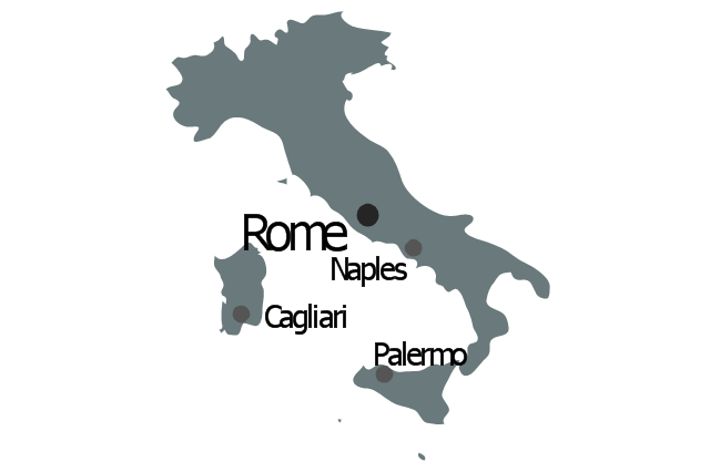
Geo Map - Asia - Philippines
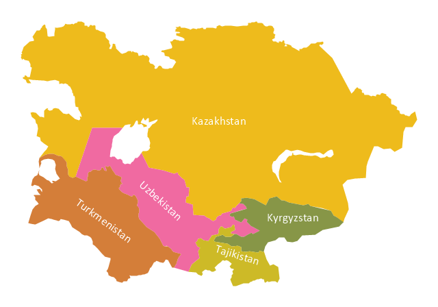
The Philippines, officially known as the Republic of the Philippines, is a sovereign island country in Southeast Asia situated in the western Pacific Ocean. Use the Continent Maps solution and Philippines library to draw thematic maps, geospatial infographics and vector illustrations. This solution to help visualize the business and thematic information connected with geographic areas, locations or customs; for your business documents, presentations and websites."Central Asia is the core region of the Asian continent and stretches from the Caspian Sea in the west to China in the east and from Afghanistan in the south to Russia in the north. It is also sometimes referred to as Middle Asia, and, colloquially, "the 'stans" (as the five countries generally considered to be within the region all have names ending with the Persian suffix "-stan", meaning "land of") and is within the scope of the wider Eurasian continent.
In modern contexts, all definitions of Central Asia include these five republics of the former Soviet Union: Kazakhstan ..., Kyrgyzstan ..., Tajikistan ..., Turkmenistan ..., and Uzbekistan ... Other areas sometimes included are Afghanistan, Mongolia, eastern Iran, and northwestern Pakistan, and sometimes Xinjiang and Tibet in western China, the Kashmir region of northern India and northern Pakistan, and southern Siberia in southern Russia." [Central Asia. Wikipedia]
This Central Asia political map was redesigned from Wikimedia Commons file: Central Asia - political map - 2000.svg.
[commons.wikimedia.org/ wiki/ File:Central_ Asia_ -_ political_ map_ -_ 2000.svg]
This file is licensed under the Creative Commons Attribution-Share Alike 3.0 Unported license. [creativecommons.org/ licenses/ by-sa/ 3.0/ deed.en]
The political map example "Central Asia" was drawn using the ConceptDraw PRO diagramming and vector drawing software extended with the design elements library Asia.
The political map example "Central Asia" is included in the Continent Maps solution from the Maps area of ConceptDraw Solution Park.
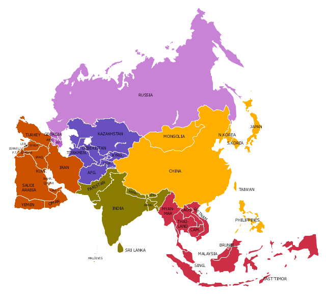
"Asia ... is the world's largest and most populous continent, located primarily in the eastern and northern hemispheres. It covers 8.7% of the Earth's total surface area and comprises 30% of its land area. With approximately 4.3 billion people, it hosts 60% of the world's current human population. Asia has a high growth rate in the modern era. For instance, during the 20th century, Asia's population nearly quadrupled." [Asia. Wikipedia]
This Asia political map was redesigned from Wikimedia Commons file: Map of Asia.svg.
[commons.wikimedia.org/ wiki/ File:Map_ of_ Asia.svg]
This file is licensed under the Creative Commons Attribution-Share Alike 3.0 Unported license. [creativecommons.org/ licenses/ by-sa/ 3.0/ deed.en]
Legend:
Purple = North Asia/ Eurasia (Russia, Georgia, Armenia, Azerbaijan),
Yellow = East Asia (China, Mongolia, Korea, Japan),
Red = South East Asia (10 ASEAN countries + East Timor),
Green = South Asia (India, Pakistan, Bangladesh, Nepal, Bhutan),
Brown = West Asia/ Middle East,
Blue = Central Asia.
The example "Political map of Asia" was created using the ConceptDraw PRO diagramming and vector drawing software extended with the Continent Maps solution from the Maps area of ConceptDraw Solution Park.
Geo Map - Asia - Myanmar
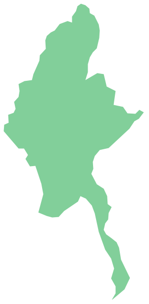
Burma, officially the Republic of the Union of Myanmar, commonly shortened to Myanmar, is a sovereign state in Southeast Asia bordered by Bangladesh, India, China, Laos and Thailand. The vector stencils library Myanmar contains contours for ConceptDraw PRO diagramming and vector drawing software. This library is contained in the Continent Maps solution from Maps area of ConceptDraw Solution Park.Geo Map - Asia - Mongolia
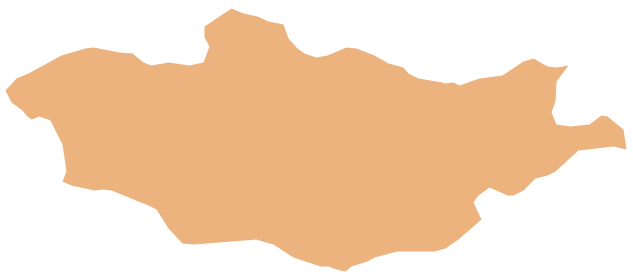
Mongolia is a landlocked country in Central Asia. The vector stencils library Mongolia contains contours for ConceptDraw PRO diagramming and vector drawing software. This library is contained in the Continent Maps solution from Maps area of ConceptDraw Solution Park.Geo Map — Asia
ConceptDraw is idea to draw the geological maps of Asia from the pre-designed vector geo map shapes. Use Geo Map Asia to draw thematic maps, geospatial infographics and vector illustrations for your business documents, presentations and websites.Geo Map — Asia — Vietnam
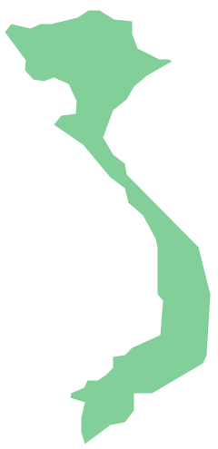
Vietnam, officially the Socialist Republic of Vietnam, is the easternmost country on the Indochina Peninsula in Southeast Asia. The vector stencils library Vietnam contains contours for ConceptDraw PRO diagramming and vector drawing software. This library is contained in the Continent Maps solution from Maps area of ConceptDraw Solution Park.How To use House Electrical Plan Software
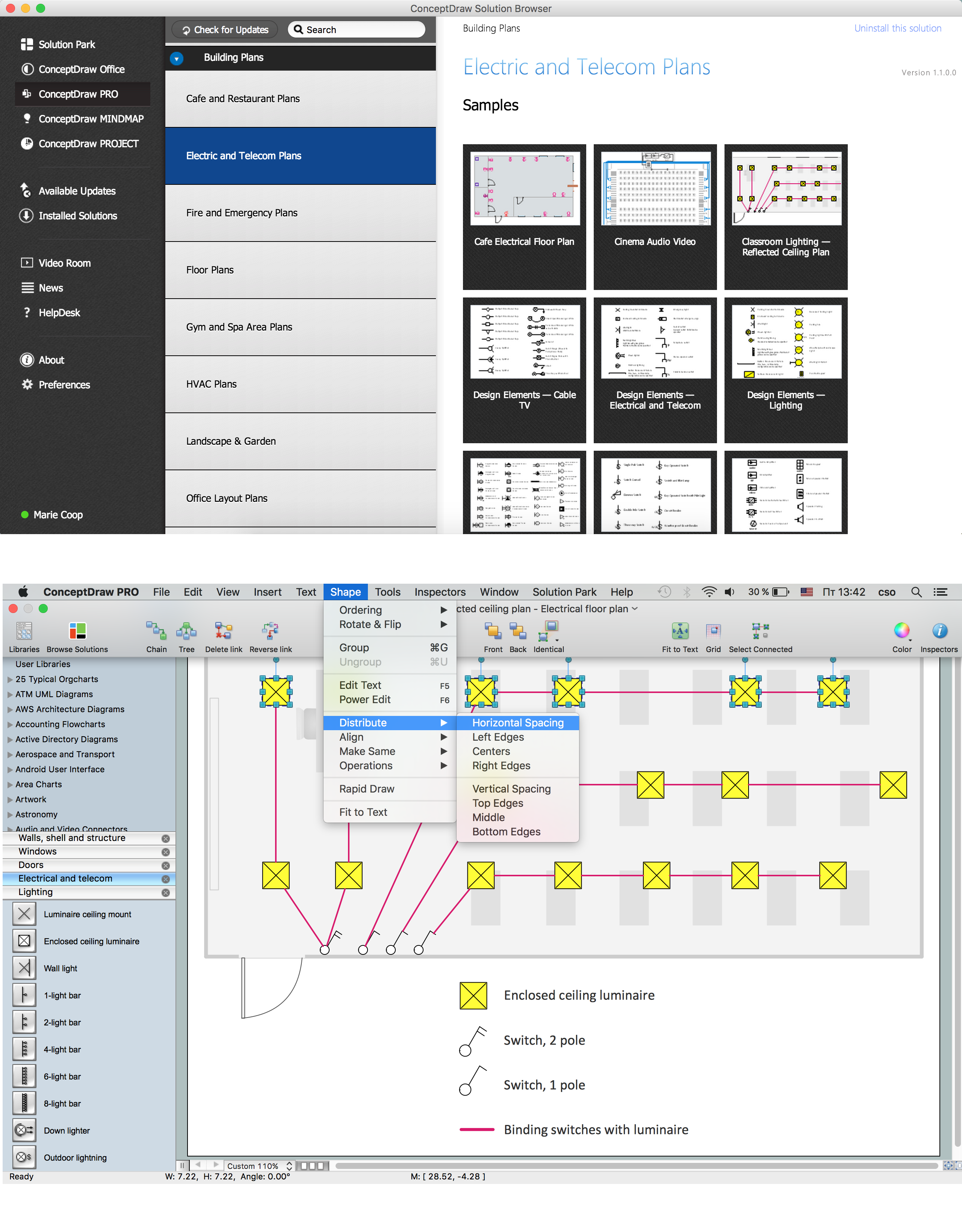
How we can conduct the electricity at house correctly without a plan? It is impossible. The House electrical diagram depicts locations of switches, outlets, dimmers and lights, and lets understand how you will connect them. But design of House Electrical Plan looks a complex task at a glance, which requires a lot of tools and special experience. But now all is simple with all-inclusive floor plan software - ConceptDraw PRO. As a house electrical plan software, the ConceptDraw PRO contains libraries with a large range of professional lighting and electrical symbols, ready-to-use electrical plans samples and examples, and built-in templates for creating great-looking Home floor electrical plans. It is a fastest way to draw Electrical circuit diagrams, Electrical wiring and Circuit schematics, Digital circuits, Electrical equipment, House electrical plans, Satellite television, Cable television, Home cinema, Closed-circuit television when are used the tools of Electric and Telecom Plans Solution from ConceptDraw Solution Park. Files created in Visio for Mac app can be easily imported to ConceptDraw PRO. Also you may import stencils and even libraries. Try for free an alternative to Visio that Apple users recommend.
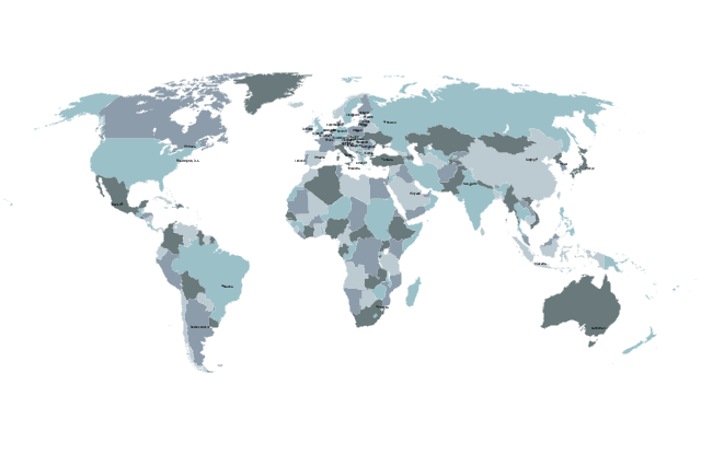
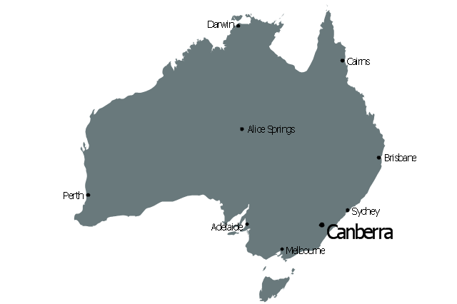
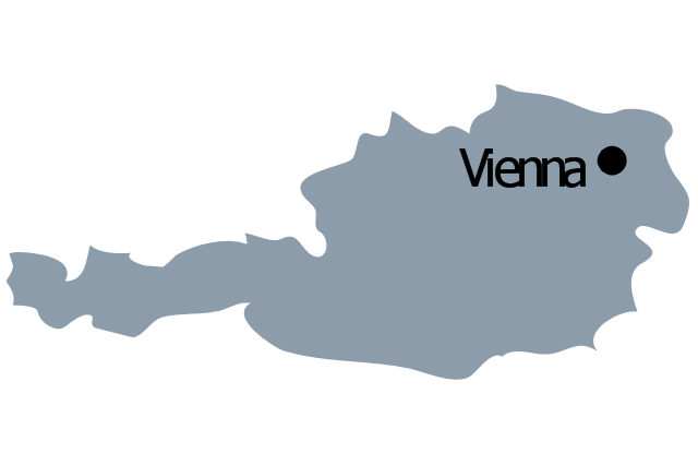
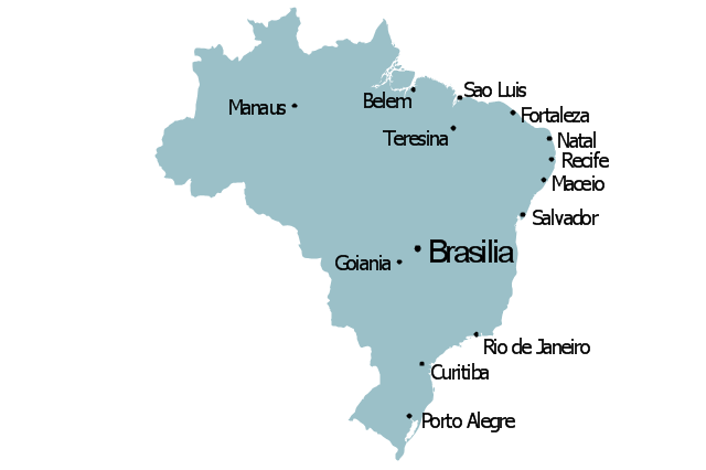
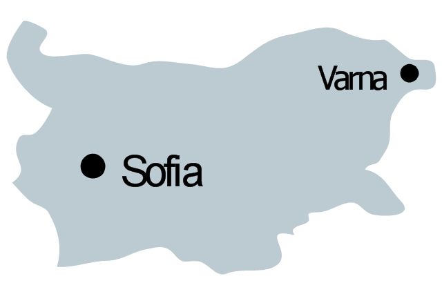
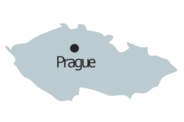
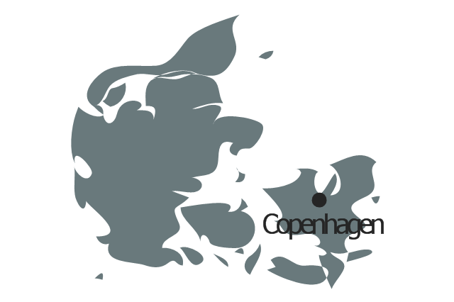
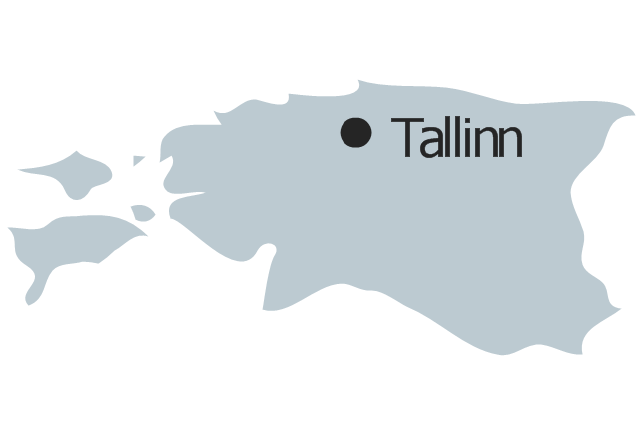
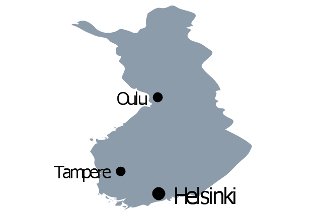
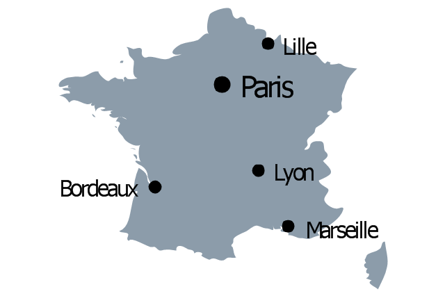
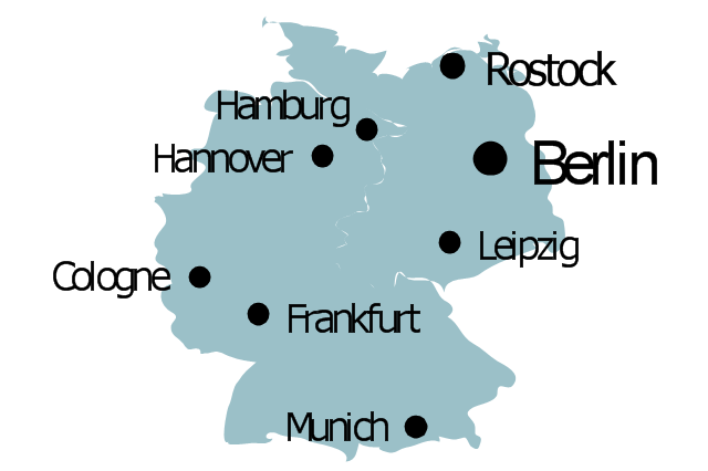
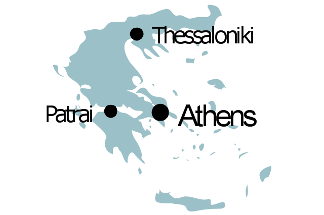
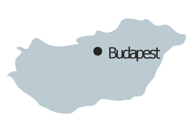
The vector stencils library "Management maps" contains 44 map contours: G-20 state maps, EU state maps and world map.
Use it to create your management infogram in the ConceptDraw PRO diagramming and vector drawing software.
The state map contours example "Management maps - Vector stencils library" is included in the solution "Marketing infographics" from the "Business infographics" area of ConceptDraw Solution Park.
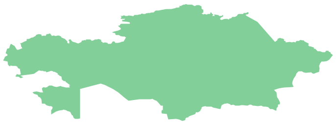
Geo Map - Asia - Kazakhstan
Kazakhstan, officially the Republic of Kazakhstan, is a contiguous transcontinental country in Central Asia, with its smaller part west of the Ural River in Eastern Europe. The vector stencils library Kazakhstan contains contours for ConceptDraw PRO diagramming and vector drawing software. This library is contained in the Continent Maps solution from Maps area of ConceptDraw Solution Park.Geo Map - Asia - Saudi Arabia
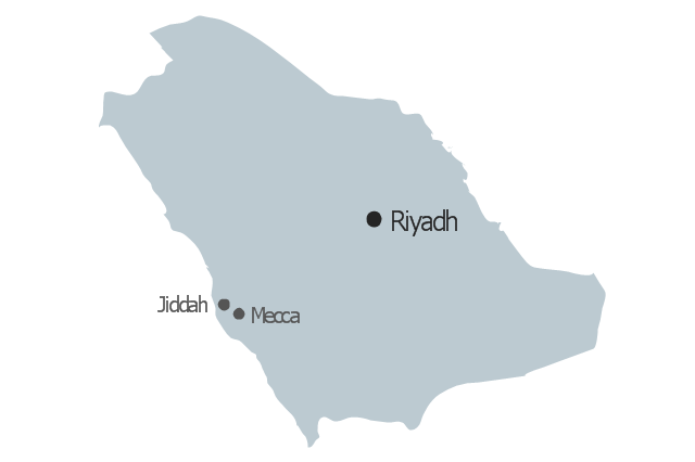
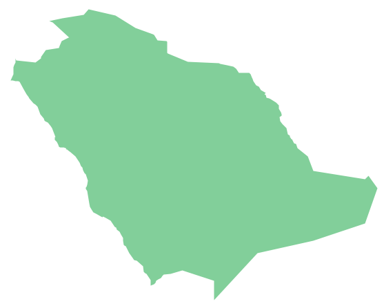
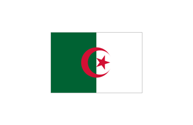
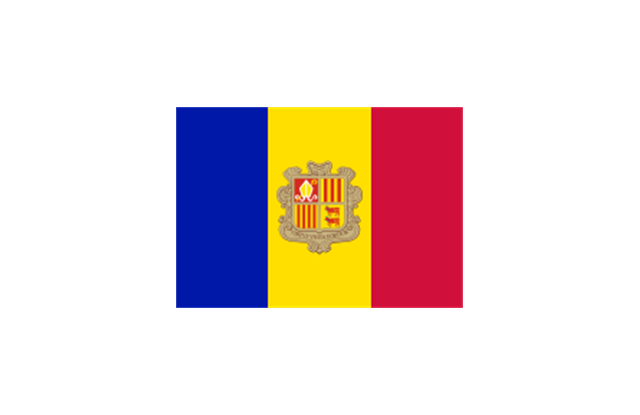
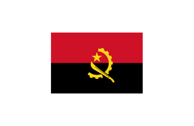
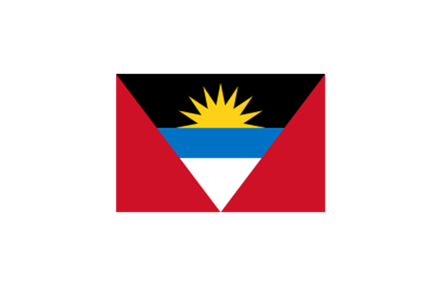
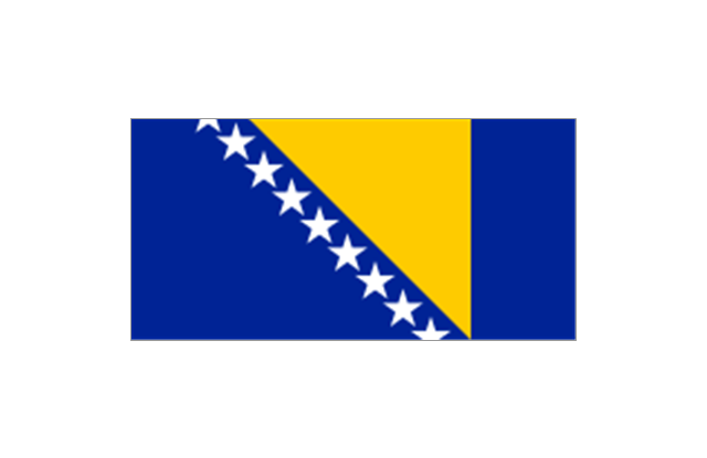
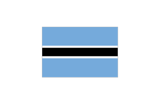
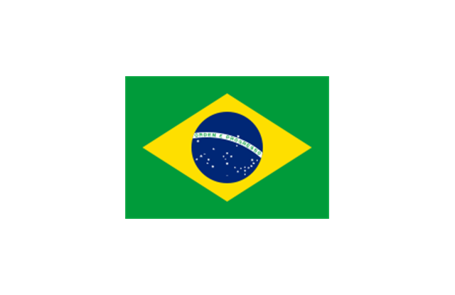
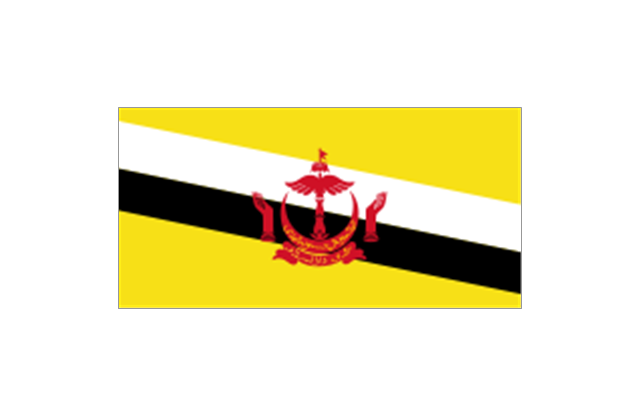
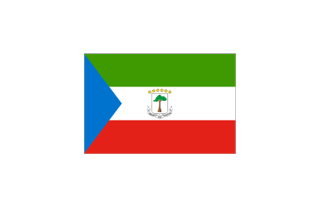
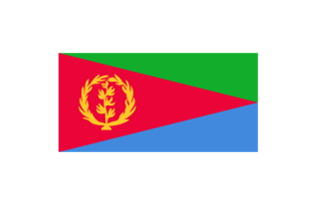
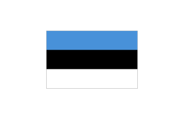
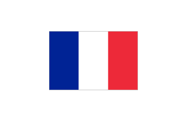
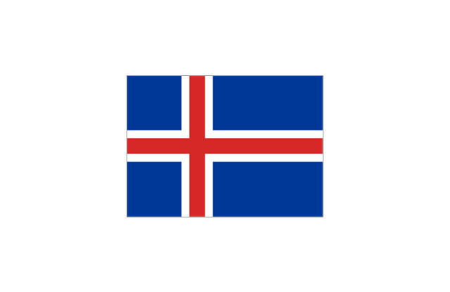
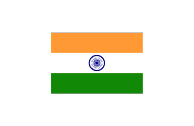
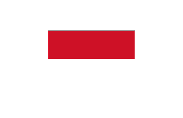
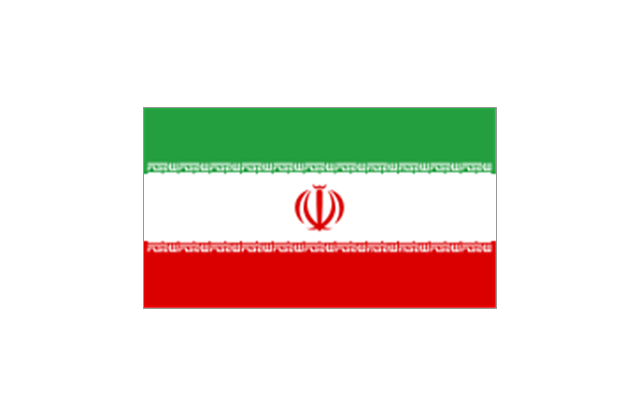
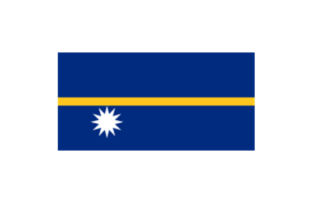
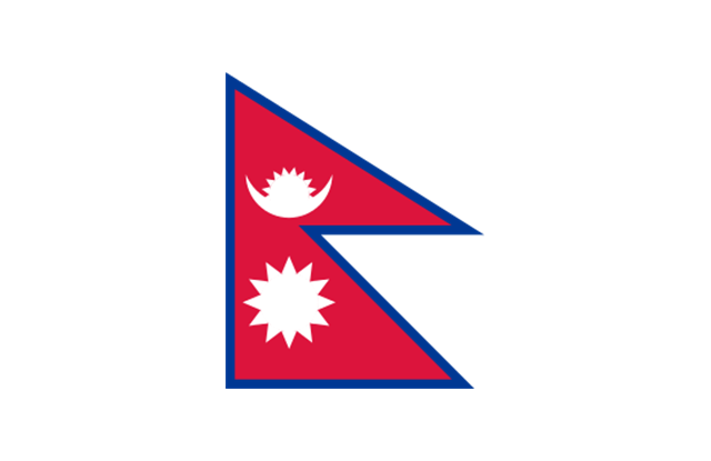
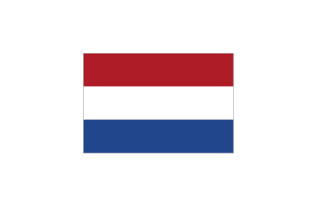
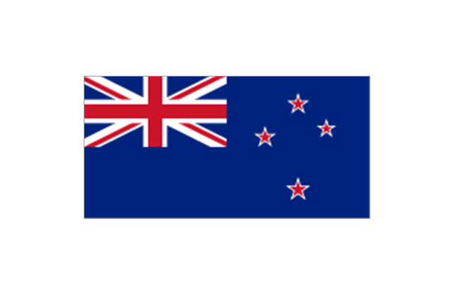
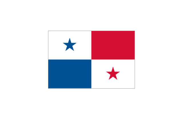
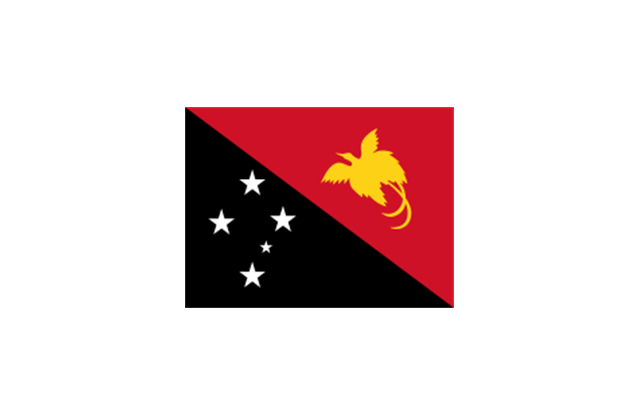
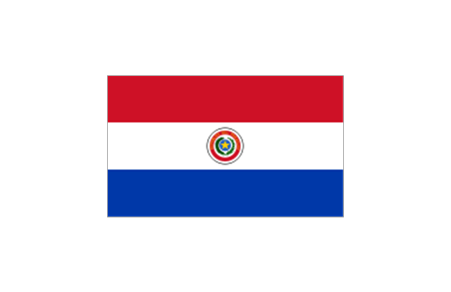
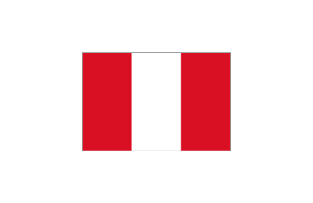
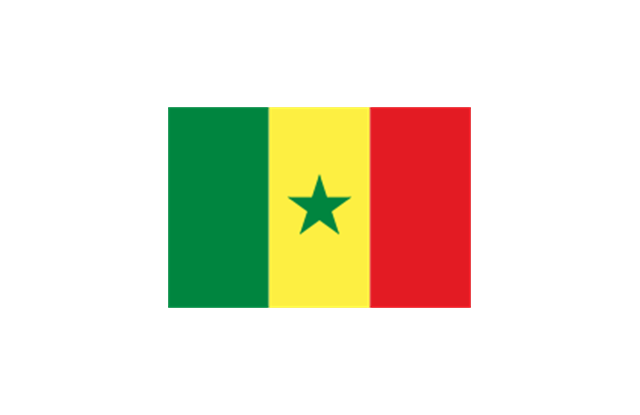
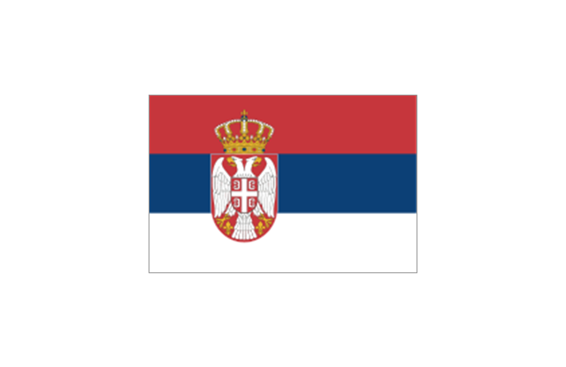
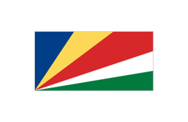
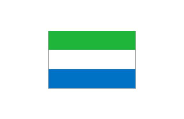
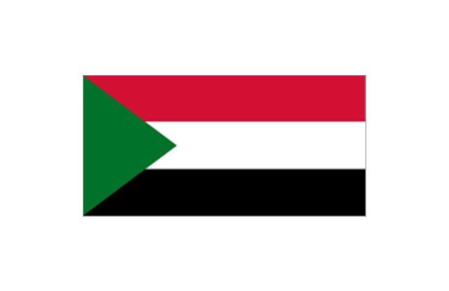
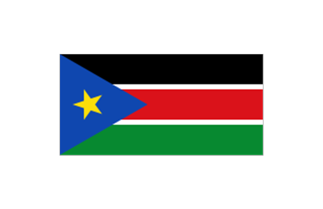
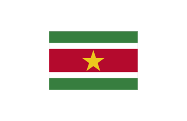
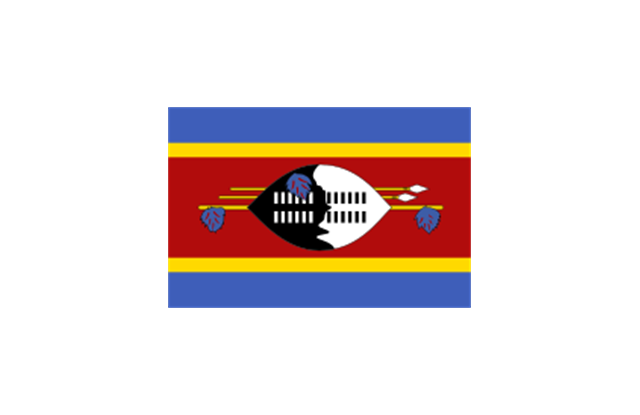
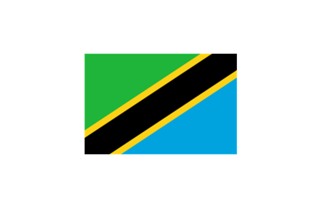
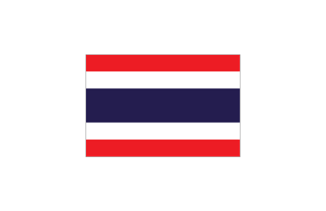
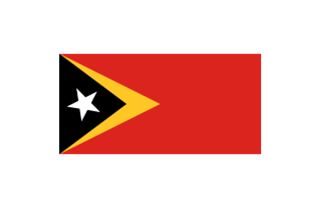
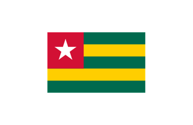
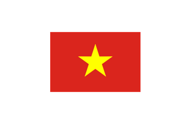
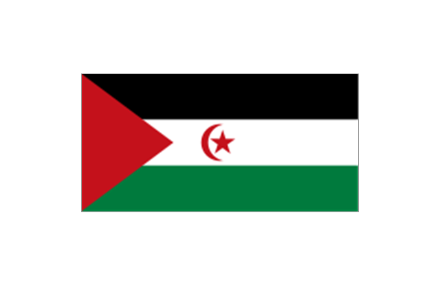
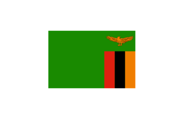
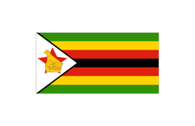
First of all, Saudi Arabia is known as "the Land of the Two Holy Mosques". Two of the holiest sites of Islam are located in Saudi Arabia. Medina - the city where the Quran was finally approved, and where Prophet Muhammad was buried, and Mecca, the birthplace of Muhammad. Every year, millions of muslims perform hajj and visit Al-Masjid al-Haram - the Sacred Mosque. Unfortunately, the entry is prohibited for non-Muslim people. The citizens of the country live under Sharia law, which impose certain obligations. For example, the usage of drugs and alcohol is forbidden. Gambling is also under the ban. Expats have a possibility to live in special reservations - compounds, where some concessions are allowed, for example, the appearance of women is not so strictly regulated and they have a right to drive there.The stencils library "Flags" contains 204 clipart images of state flags.
"There are two separate meanings for the term state flag in vexillology - the flag of the government of a sovereign state, and the flag of an individual subnational state, such as a U.S. state, or a Russian oblast. ...
A state flag is a variant of a national flag (or occasionally a completely different design) specifically designated and restricted by law or custom (theoretically or actually) to use by a country's government or its agencies. For this reason they are sometimes referred to as government flags. In many countries the state flag and the civil flag (as flown by the general public) are identical, but in other countries, notably those in Latin America, central Europe, and Scandinavia, the state flag is a more complex version of the national flag, often featuring the national coat of arms or some other emblem as part of the design. Scandinavian countries also use swallowtailed state flags, to further differentiate them from civil flags.
In addition, some countries have state ensigns, separate flags for use by non-military government ships such as guard vessels. For example, government ships in the United Kingdom fly the blue ensign." [State flag. Wikipedia]
The clip art example "Flags - Stencils library" was created using the ConceptDraw PRO diagramming and vector drawing software extended with the Continent Maps solution from the Maps area of ConceptDraw Solution Park.
www.conceptdraw.com/ solution-park/ maps-continent
- Asian Map Drawing Wiki How
- Map Software | Geo Map - Asia - Philippines | Flags - Stencils library ...
- Indian Map Easy Outline
- Asia Political Map
- Middle East Map Svg
- India Outline Map Green
- Creative India Political Map Png
- Continent Maps | Central Asia - Political map | Geo Map - Asia ...
- Continent Maps | Central Asia - Political map | South Asia - Political ...
- Map Software | Geo Map - World | Geo Map - Asia - Philippines ...
- Central Asia - Political map | Geo Map - Asia | Continent Maps | Asia ...
- Green India Map
- Saudi Arabia Svg Map
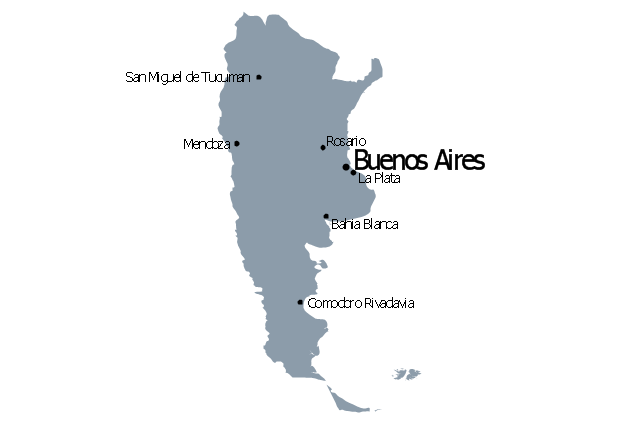
- Geo Map - South America - Argentina
- Political map of Asia
- Northern Asia Political Map
- European Union Map Svg
- Geo Map - Asia - India | Geo Map - Asia - Oman | Geo Map - Africa ...
- Geo Map - Asia - Indonesia
- Political Map Of Tibet

