How To Draw Building Plans
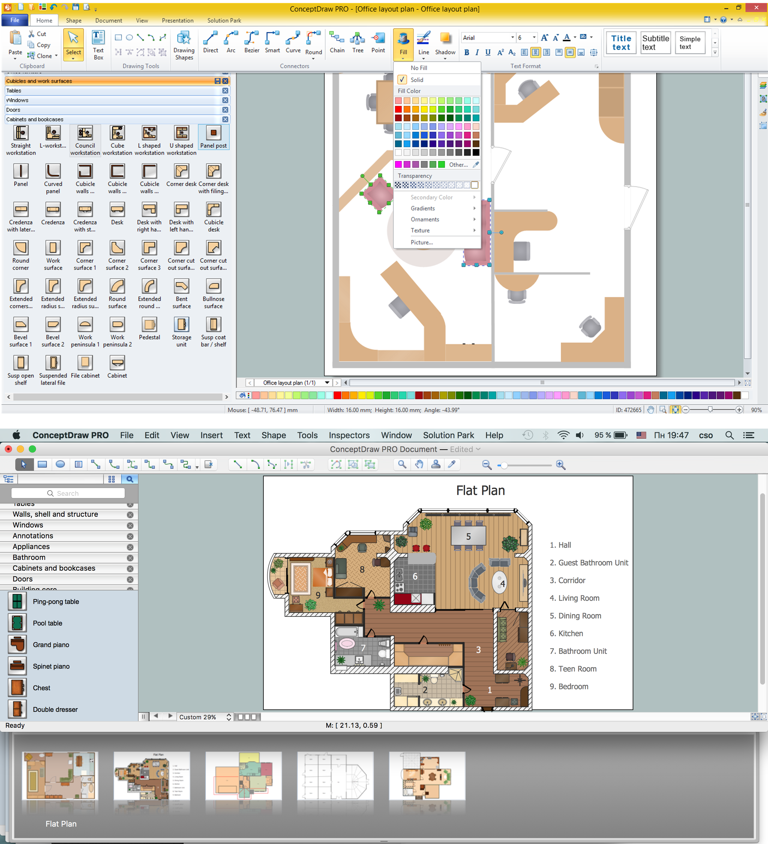
Building Plan is the basis for implementation construction and repair works. Creation of Building Plans is the main purpose of architects and designers. They are required and even obligatory for builders to accurately implement your wishes and ideas during the building, designing or redesigning your home, flat, office, or any other premise. ConceptDraw PRO is a powerful quick building plan software for creating great-looking Office layouts, Home floor plans, Commercial floor plans, Storage building plans, Expo and Shopping mall building plans, School and Training building plans, Cafe or Restaurant plans, Gym and Spa area plans, Sport field plans, House interior designs, Electric and Telecom building plans, Fire and Emergency plans, HVAC plans, Security and Access plans, Plumbing and Piping plans, Plant layouts, etc. Use helpful samples, templates and variety of libraries with numerous building design elements from Floor Plans solution for ConceptDraw PRO software to facilitate design drawing process.
The vector stencils library "Landmarks" contains 34 signs and pictograms for drawing road and transit maps.
The vector stencils library "Map symbols" contains 10 signs and pictograms for drawing road and transit maps.
"A landmark is a recognizable natural or man-made feature used for navigation, a feature that stands out from its near environment and is often visible from long distances.
In modern use, the term can also be applied to smaller structures or features, that have become local or national symbols." [Landmark. Wikipedia]
The pictograms example "Design elements - Location map" was created using the ConceptDraw PRO diagramming and vector drawing software extended with the Spatial Infographics solution from the Maps area of ConceptDraw Solution Park.
The vector stencils library "Landmarks" contains 69 landmark symbols of buildings, waterways, scale and directional indicators for labeling transportation and directional maps, road and route maps, street and transit maps, locator and tourist maps.
The pictograms example "Landmarks - Vector stencils library" was created using the ConceptDraw PRO diagramming and vector drawing software extended with the Directional Maps solution from the Maps area of ConceptDraw Solution Park.
The pictograms example "Landmarks - Vector stencils library" was created using the ConceptDraw PRO diagramming and vector drawing software extended with the Directional Maps solution from the Maps area of ConceptDraw Solution Park.
The vector stencils library "Landmarks" contains 34 landmark symbols.
Use it to mark maps for spatial infographics in the ConceptDraw PRO diagramming and vector drawing software extended with the Spatial Infographics solution from the area "What is Infographics" of ConceptDraw Solution Park.
Use it to mark maps for spatial infographics in the ConceptDraw PRO diagramming and vector drawing software extended with the Spatial Infographics solution from the area "What is Infographics" of ConceptDraw Solution Park.
- Map symbols - Vector stencils library | Design elements - Location ...
- Map symbols - Vector stencils library | Landmarks - Vector stencils ...
- Map symbols - Vector stencils library
- Landmark Symbols For Shopping Malls
- Symbol Of Townhall When Drawing A Map
- Os Map Symbols For Shopping Centers
- Road Map Symbols
- Transport map
- Sunrooms - Vector stencils library | Map symbols - Vector stencils ...
- Landmarks - Vector stencils library | ConceptDraw Solution Park ...
- Spatial infographics Design Elements: Location Map | Design ...
- Design elements - Landmarks | Design elements - Location map ...
- Elements location of a welding symbol | Location Intelligence ...
- Design elements - 3D directional maps | Geo Map - USA ...
- 3D pictorial road map | 2D Directional map - Template | Maps | Road ...
- Road signs - Vector stencils library | Transport map - Vector stencils ...
- A Symbol Of Traffic Lights On Map
- Example Of Railway Station Symbols In Maps
- Landmarks And Their Symbols
- Metro Map | How to draw Metro Map style infographics? Moscow ...
