Geo Map - Australia - Nothern Territory
Use the Australia library to draw thematic maps, geospatial infographics and vector illustrations for your business documents, presentations and websites.Backyard Software
Designing a backyard is especially simple with special backyard software. Planning is the most important point when designing a backyard. The process of creating a plan in ConceptDraw DIAGRAM software enhanced with Landscape & Garden solution from the Building Plans area of ConceptDraw Solution Park will not take much of your time and effort. But it allows you to build a design delighting you and your family all year long.Geo Map - Canada - Northwest Territories
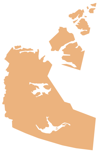
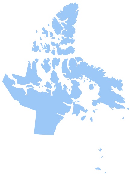
The Northwest Territories (NWT; French: les Territoires du Nord-Ouest, TNO) is one of three federal territories of Canada. The vector stencils library Northwest Territories contains contours for ConceptDraw DIAGRAM diagramming and vector drawing software. This library is contained in the Continent Maps solution from Maps area of ConceptDraw Solution Park.Australia Map — Northern Territory
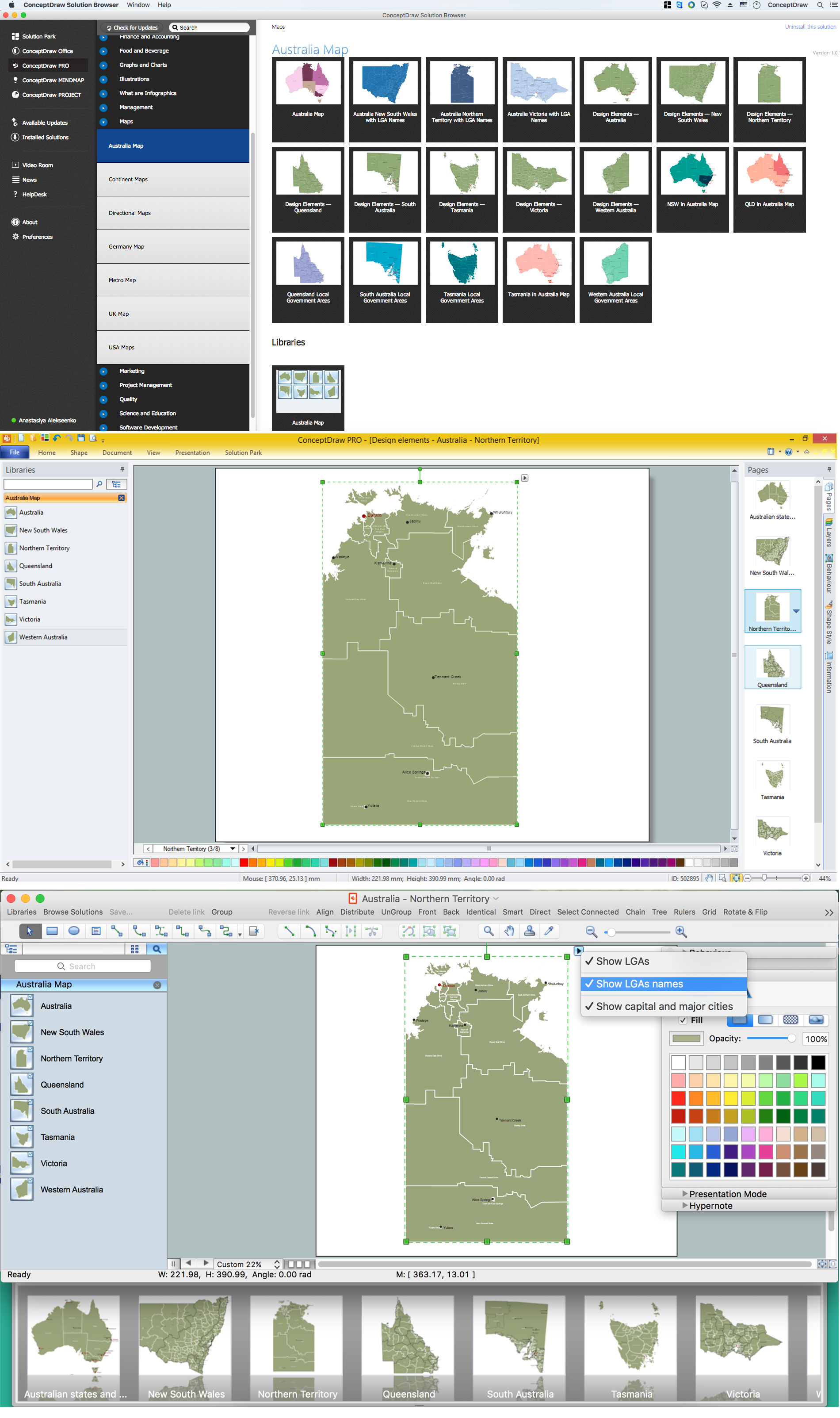
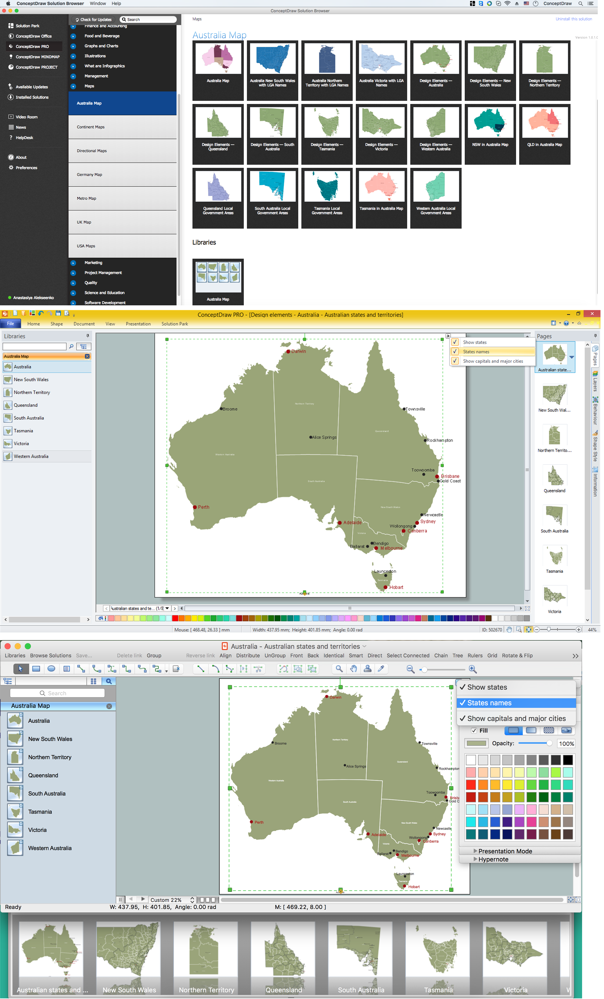
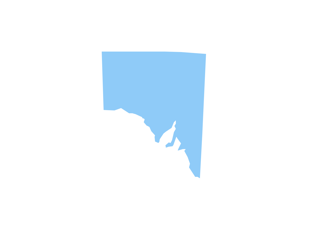
The Northern Territory (abbreviated as NT) is a federal Australian territory in the centre and central northern regions. Maps surround us everywhere in our life, study, work, traveling, they are widely used in geography, history, politics, economics, and many other fields of science and life activity. But designing of maps is usually complex and labor-intensive process. Now we have the possibility to make easier this process - ConceptDraw DIAGRAM diagramming and vector drawing software extended with Australia Map Solution from the Maps Area of ConceptDraw Solution Park will help us in easy drawing detailed Australia map.Geo Map - Canada - Yukon
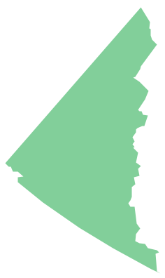
Yukon is the westernmost and smallest of Canada's three federal territories. Whitehorse is the territorial capital. The vector stencils library Yukon contains contours for ConceptDraw DIAGRAM diagramming and vector drawing software. This library is contained in the Continent Maps solution from Maps area of ConceptDraw Solution Park.Australia Map — States and Cities
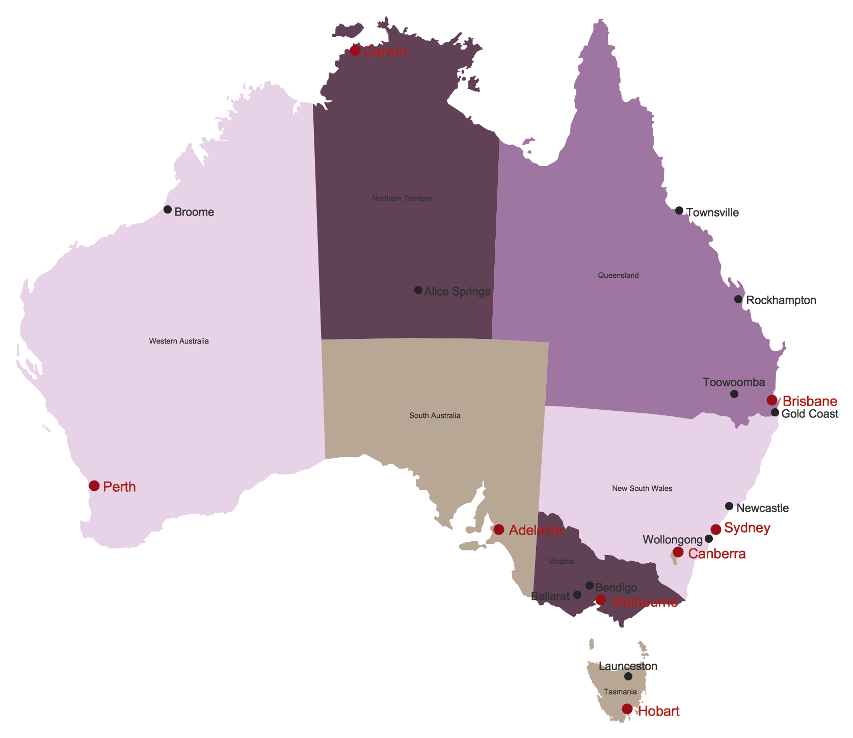
Maps surround us everywhere in our life, study, work, traveling, they are widely used in geography, history, politics, economics, and many other fields of science and life activity. But designing of maps is usually complex and labor-intensive process. Now we have the possibility to make easier this process - ConceptDraw DIAGRAM diagramming and vector drawing software extended with Australia Map Solution from the Maps Area of ConceptDraw Solution Park will help us in easy drawing detailed Australia map.How To use Electrical and Telecom Plan Software
When drawing Electrical and Telecom plans, you need to depict electrical circuit, schematics of electrical wiring and digital circuits, house electrical plans, etc. Electrical plan shows all electrical devices and their location, and scheme of telecom and electric wiring clearly and concisely enough. Start easy with Electric and Telecom Plans solution templates and samples which are opened from ConceptDraw STORE right with standard electrical and telecom symbols and icons libraries. Or create your own Electrical Telecom diagrams on the blank sheet also using the predesigned libraries' objects separately or combining, joining, or grouping them. Try now to make sure how neat and easy could be drawing various electrical and telecom plans with ConceptDraw DIAGRAM , among them: Home electrical plan, Telecom wireless plan, Residential electric plan, Electrical circuit diagram, and other Electric visual and telecommunication floor plans for design and construction, including switches, outlets, and fixtures.Backyard Planning Software
A private country house with its own backyard is a dream of most people. If you are already a happy owner of a house and are thinking about its improvement and design, turn attention to the professional ConceptDraw DIAGRAM software. It is extended with helpful Landscape & Garden solution from the Building Plans area of ConceptDraw Solution Park. Even if the rhythm of your life does not allow you to take up planning, it will not be a big obstacle on the way to a beautiful garden. With ConceptDraw DIAGRAM backyard planning software, you can think through the original design of your patio to the smallest detail quickly and easily, and reflect your ideas on the plan at once.Geo Map — USA — Minnesota
Minnesota is a U.S. state in the Midwestern United States. The vector stencils library Minnesota contains contours for ConceptDraw DIAGRAM diagramming and vector drawing software. This library is contained in the Continent Maps solution from Maps area of ConceptDraw Solution Park.Map Australia
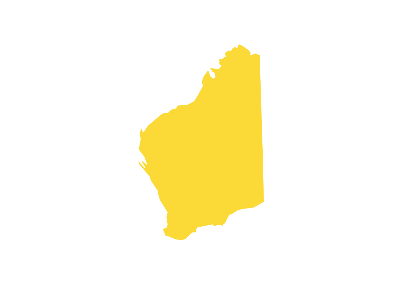
ConceptDraw DIAGRAM diagramming and vector drawing software offers the Australia Map Solution from the Maps Area of ConceptDraw Solution Park - the best tool for fast and easy drawing various types of Australia maps, maps of Australia states and islands, Map Australia with cities, thematic Australia maps and cartograms of any degree of detailing.Easy Landscape Design Software
The beautiful flower compositions, bright colors, interesting solutions in the design of flowerbeds and paths, fascinating design details, comfortable furniture for a recreation area - all these are components of a stunning and extraordinary landscape design. Before you start to set up the landscape design of the site, you need to work out the plan. ConceptDraw DIAGRAM software enhanced with Landscape & Garden solution is an easy landscape design software and ideal for this goal.Geo Map - Canada - Saskatchewan
Saskatchewan is a prairie province in Canada, which has a total area of 651,900 square kilometres (251,700 sq mi) and a land area of 592,534 square kilometres (228,800 sq mi), the remainder being water area (covered by lakes/ponds, reservoirs and rivers). The vector stencils library Saskatchewan contains contours for ConceptDraw DIAGRAM diagramming and vector drawing software. This library is contained in the Continent Maps solution from Maps area of ConceptDraw Solution Park.Geo Map - Canada - British Columbia
British Columbia, also commonly referred to by its initials BC or B.C. The vector stencils library British Columbia contains contours for ConceptDraw DIAGRAM diagramming and vector drawing software. This library is contained in the Continent Maps solution from Maps area of ConceptDraw Solution Park.Geo Map - Australia - Tasmania
Tasmania (abbreviated as Tas and known colloquially as "Tassie") is an island state, part of the Commonwealth of Australia.Geo Map — USA — Oregon
Oregon is a state in the Pacific Northwest of the United States. The vector stencils library Oregon contains contours for ConceptDraw DIAGRAM diagramming and vector drawing software. This library is contained in the Continent Maps solution from Maps area of ConceptDraw Solution Park.Geo Map — Europe — France
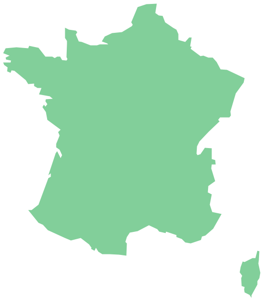
The vector stencils library France contains contours for ConceptDraw DIAGRAM diagramming and vector drawing software. This library is contained in the Continent Maps solution from Maps area of ConceptDraw Solution Park.Landscaping Drawing Software
The design issue is really important and if you approach it correctly, your garden can become cozy and comfortable. We recommend using the ConceptDraw DIAGRAM. It is an ideal landscaping drawing software due to the included Landscape & Garden solution from the Building Plans area of ConceptDraw Solution Park. Apply the tools of this solution to make the landscape garden design of your dream fast and simply.Geo Map - World
ConceptDraw DIAGRAM is idea to draw the geological maps of World from the pre-designed vector geo map shapes.Geo Map — USA — Mexico
Mexico, officially the United Mexican States, is a federal republic in North America. The vector stencils library Mexico contains contours for ConceptDraw DIAGRAM diagramming and vector drawing software. This library is contained in the Continent Maps solution from Maps area of ConceptDraw Solution Park.Landscaping Design Tool
The landscape design of a personal plot or a private yard is an expression of your personality. ConceptDraw DIAGRAM charting and vector diagramming software extended with Landscape & Garden solution is an easy-to-use landscaping design tool you can apply to design the outdoor areas of any target and size. You can plan the territory surrounding your house, design a gazebo, deck, make a landscape garden design, and much more.- Sales Dashboard - Australia | Free Territory Sales Map Software
- Geo Map - Australia - Nothern Territory | Geo Map - Canada ...
- Geo Map - Australia | Map Software To Buy For Sales Territory
- Geo Map - Canada - Northwest Territories | Geo Map - Australia ...
- Geo Map - Australia - Nothern Territory | Geo Map - Canada - Yukon ...
- Competitor Analysis | Sales Dashboard | Swot Analysis Sales Territory
- Territory Mapping Software Free Australia
- Australia Map — Northern Territory | Geo Map - Canada - Northwest ...
- Competitor Analysis | Geo Map - USA | Territory Swot Analysis Chart
- Australia Map | Competitor Analysis | Creating Sales Territory Map