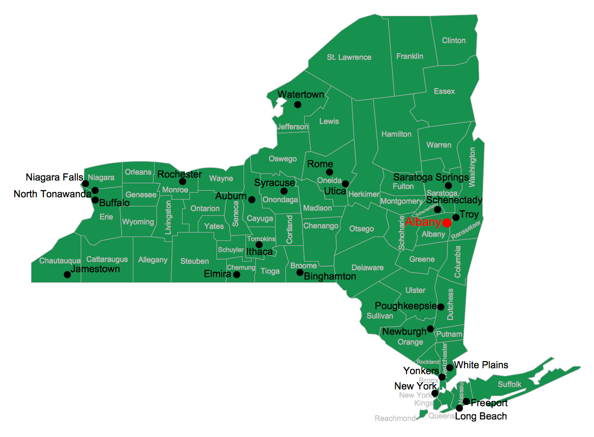
USA Map
Usually designing of maps, including the USA Map is a quite complex, long and labour-intensive process. But now we have an excellent possibility to make it easier with ConceptDraw PRO diagramming and vector drawing software extended with powerful USA Maps Solution from the Maps Area of ConceptDraw Solution Park.Geo Map - Europe - Moldova
The vector stencils library Moldova contains contours for ConceptDraw PRO diagramming and vector drawing software. This library is contained in the Continent Maps solution from Maps area of ConceptDraw Solution Park.Geo Map - South America - Colombia
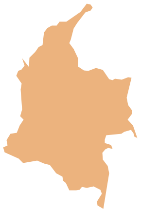
Colombia, officially the Republic of Colombia, is a unitary, constitutional republic comprising thirty-two departments. The vector stencils library Colombia contains contours for ConceptDraw PRO diagramming and vector drawing software. This library is contained in the Continent Maps solution from Maps area of ConceptDraw Solution Park.Visualization Spatial Data Using Thematic Maps Combined with Infographics
Now anyone can build an infographics from their data using ConceptDraw. Nice and simple, but the features it have are power-packed!Geo Map - Asia - North Korea
North Korea, officially the Democratic People's Republic of Korea, is a country in East Asia, in the northern part of the Korean Peninsula. The vector stencils library North Korea contains contours for ConceptDraw PRO diagramming and vector drawing software. This library is contained in the Continent Maps solution from Maps area of ConceptDraw Solution Park.Geo Map - Europe - Ukraine
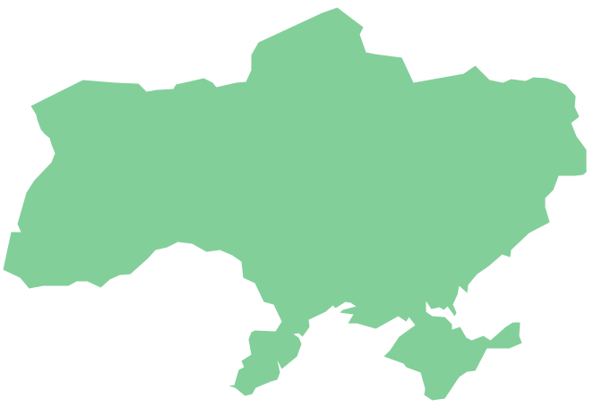
The vector stencils library Ukraine contains contours for ConceptDraw PRO diagramming and vector drawing software. This library is contained in the Continent Maps solution from Maps area of ConceptDraw Solution ParkGeo Map - Africa - Uganda
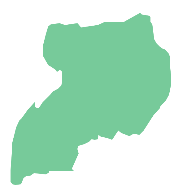
Uganda, officially the Republic of Uganda, is a landlocked country in East Africa. The vector stencils library Uganda contains contours for ConceptDraw PRO diagramming and vector drawing software. This library is contained in the Continent Maps solution from Maps area of ConceptDraw Solution Park.Geo Map - Canada - Newfoundland and Labrador
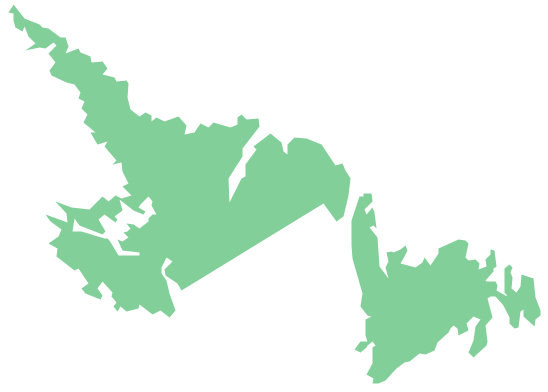
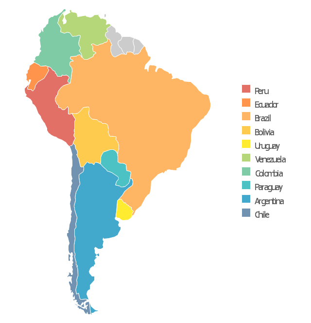
Newfoundland and Labrador is the easternmost province of Canada. The vector stencils library Newfoundland and Labrador contains contours for ConceptDraw PRO diagramming and vector drawing software. This library is contained in the Continent Maps solution from Maps area of ConceptDraw Solution Park.Use this template to design your South America political map, cartogram or thematic map, to visualize your spatial business information connected with geographic areas, locations or ways.
This South America map template for the ConceptDraw PRO diagramming and vector drawing software is included in the Continent Maps solution from the Maps area of ConceptDraw Solution Park.
This South America map template for the ConceptDraw PRO diagramming and vector drawing software is included in the Continent Maps solution from the Maps area of ConceptDraw Solution Park.
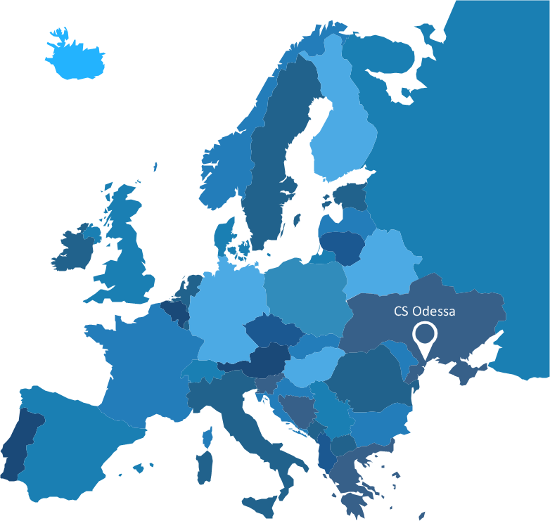
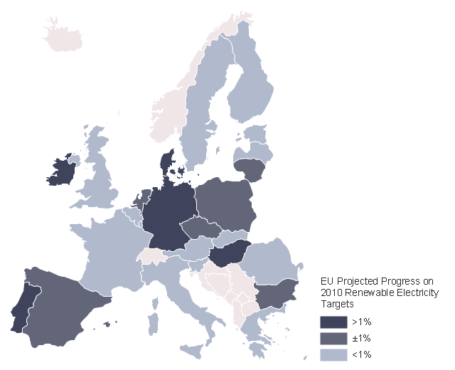
This example was created on the base of thematic map "2009 EU Renewable Electricity Share" from the article "European Union countries reach for higher renewable electricity generation" on the website of U.S. Energy Information Administration (EIA).
"Renewable generation includes hydropower, biomass, wind, solar, and geothermal. Nuclear power is not included." [www.eia.gov/ todayinenergy/ detail.cfm?id=2530]
"The countries of the European Union are the number two global leaders in the development and application of renewable energy. Promoting the use of renewable energy sources is important both to the reduction of the EU's dependence on foreign energy imports, and in meeting targets to combat global warming." [Renewable energy in the European Union. Wikipedia]
The thematic map example "EU countries map - Renewable electricity generation" was designed using the ConceptDraw PRO software extended with the Map of Germany solution from the Maps area of ConceptDraw Solution Park.
Vector Map of Germany
Vector map is the best way to visually present a world, continents, islands, to display location and boundaries of countries and cities. ConceptDraw PRO diagramming and vector drawing software offers the Germany Map Solution from the Maps Area of ConceptDraw Solution Park - the best tool for fast and easy drawing vector map of Germany of any degree of detailing, and thematic cartograms and maps of Germany on its base.Geo Map - South America - Trinidad and Tobago
Trinidad and Tobago, officially the Republic of Trinidad and Tobago, is an island country off the northern edge of South America, lying just off the coast of northeastern Venezuela and south of Grenada in the Lesser Antilles. The vector stencils library Trinidad and Tobago contains contours for ConceptDraw PRO diagramming and vector drawing software. This library is contained in the Continent Maps solution from Maps area of ConceptDraw Solution Park.
 UK Map
The Map of UK solution contains collection of professionally designed samples and scalable vector stencil graphics maps, representing the United Kingdom counties, regions and cities. Use the Map of UK solution from ConceptDraw Solution Park as the base fo
Geo Map - South America - Dominican Republic
The Dominican Republic is a nation on the island of Hispaniola, part of the Greater Antilles archipelago in the Caribbean region. The vector stencils library Dominican Republic contains contours for ConceptDraw PRO diagramming and vector drawing software. This library is contained in the Continent Maps solution from Maps area of ConceptDraw Solution Park.Geo Map - Australia
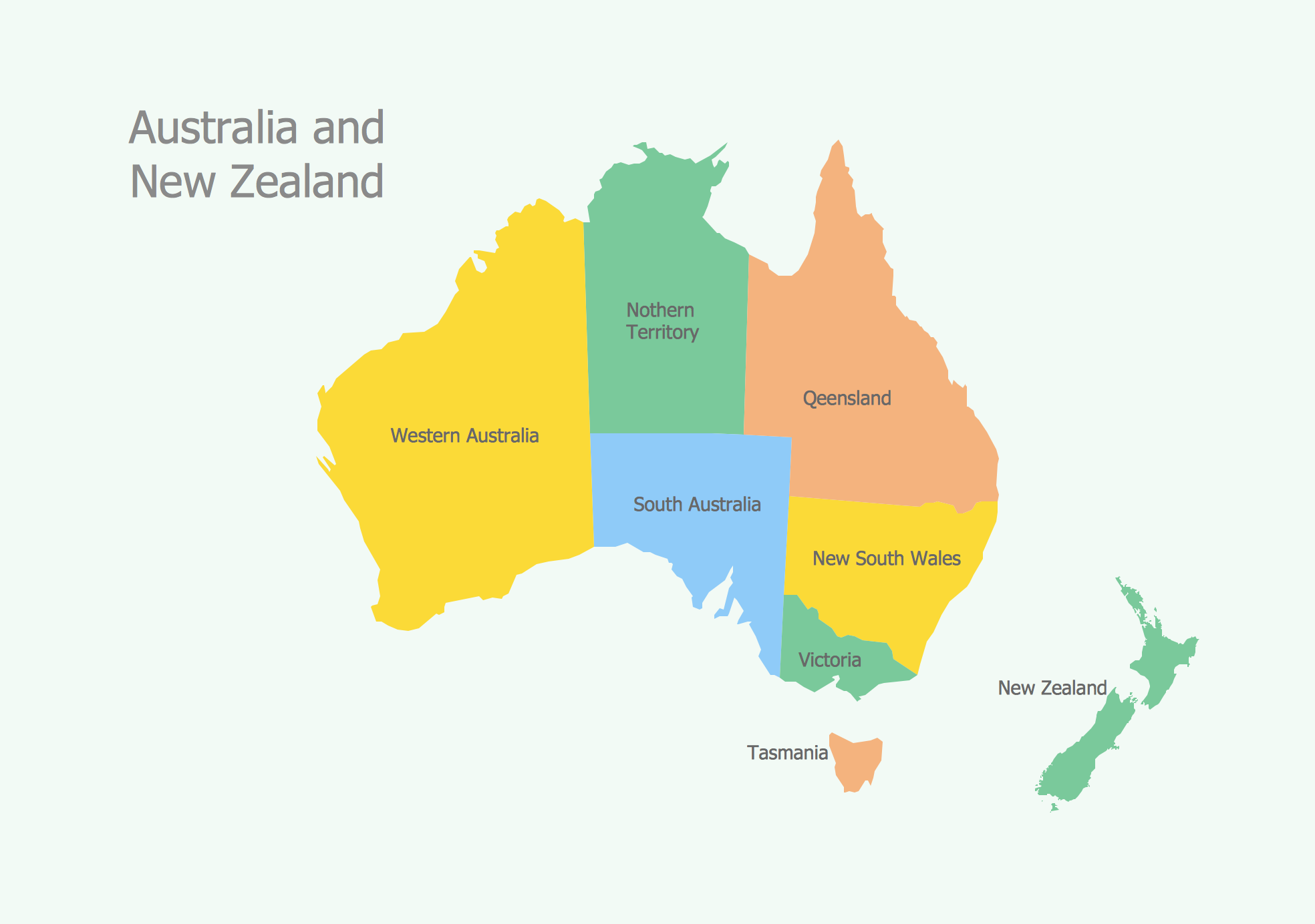
The vector stencils library Australia contains contours of New Zealand and Australian states and mainland territories for ConceptDraw PRO diagramming and vector drawing software.- Pic Of Thematic Map
- Thematic Map Images
- Pictures of Vegetables | Pictures of Graphs | Pictures of Food | Pict ...
- Benefit Corporation legislation - Thematic map
- Design elements - USA | Thematic Map Of West Virginia
- Australia states time zones - Thematic map | Design elements ...
- Languages of South America - Thematic map | Geo Map - South ...
- Languages of South America - Thematic map | Geo Map - South ...
- Broadcast Area for Movie Central - Thematic map | Geo Map ...
- North America Thematic Map
- Languages of South America - Thematic map | Geo Map - South ...
- Thematic map
- Visualization Spatial Data Using Thematic Maps Combined with ...
- Languages of South America - Thematic map | Design elements ...
- Languages of South America - Thematic map | Geo Map - South ...
- Languages of South America - Thematic map | Design elements ...
- Languages of South America - Thematic map | The most spoken ...
- Languages of South America - Thematic map | South America ...
- Languages of South America - Thematic map | Brazil in South ...
- Geo Map - United States of America Map | Benefit Corporation ...
