Geo Map - Europe - Bulgaria
Bulgaria, officially the Republic of Bulgaria, is a country located in Southeastern Europe. Use the Continent Maps solution to create Bulgaria geographical map, cartograms and thematic map, to help visualize the business and thematic information connected with geographic areas, locations or customs.Geo Map - Asia - Papua New Guinea
Papua New Guinea, officially named the Independent State of Papua New Guinea, is a country in Oceania that occupies the eastern half of the island of New Guinea (the western portion of the island is a part of the Indonesian provinces of Papua and West Papua) and numerous offshore islands. The vector stencils library Papua New Guinea contains contours for ConceptDraw PRO diagramming and vector drawing software. This library is contained in the Continent Maps solution from Maps area of ConceptDraw Solution Park."The Middle East (also called Mid East in US usage) is a region that roughly encompasses a majority of Western Asia (excluding the Caucasus) and Egypt. The term is used as a synonym for Near East, in opposition to Far East. The corresponding adjective is Middle Eastern and the derived noun is Middle Easterner. Arabs, Persians, and Turks constitute the largest ethnic groups in the region by population, while Kurds, Azeris, Copts, Jews, Assyrians, Maronites, Circassians, Somalis, Armenians, Druze and other denominations form a significant minority. ... The following countries are included within the Middle East... : Bahrain, Cyprus, Egypt, Iran, Iraq, Israel, Jordan, Kuwait, Lebanon, Northern Cyprus, Oman, Palestine, Qatar, Saudi Arabia, Syria, Turkey, United Arab Emirates, Yemen.
" [Middle East. Wikipedia]
This political map sample was redesigned from the Wikimedia Commons file: Middle east map.png. [commons.wikimedia.org/ wiki/ File:Middle_ east_ map.png]
The example "Middle East - Political map" was created using the ConceptDraw PRO diagramming and vector drawing software extended with the Continent Maps solution from the Maps area of ConceptDraw Solution Park.
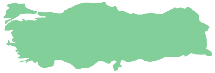
Geo Map - Asia - Turkey
Turkey, officially the Republic of Turkey, is a contiguous transcontinental country, located mostly on Anatolia in Western Asia, and on East Thrace in Southeastern Europe. The vector stencils library Turkey contains contours for ConceptDraw PRO diagramming and vector drawing software. This library is contained in the Continent Maps solution from Maps area of ConceptDraw Solution Park.Southwest Asia region comprises countries: Turkey, Georgia, Azerbaijan, Armenia, Syria, Lebanon, Israel, Jordan, Iraq, Kuwait, Cyprus, Saudi Arabia, Bahrain, United Arab Emirates, Oman, Qatar, Yemen.
This political map sample was redesigned from the Wikimedia Commons file: Southwest-Asia-map.PNG.
[commons.wikimedia.org/ wiki/ File:Southwest-Asia-map.PNG]
The example "Southwest Asia - Political map" was created using the ConceptDraw PRO diagramming and vector drawing software extended with the Continent Maps solution from the Maps area of ConceptDraw Solution Park.
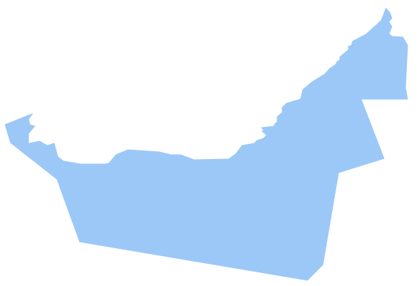
Geo Map - Asia - United Arab Emirates
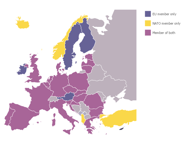
The United Arab Emirates, sometimes simply called the Emirates or the UAE, is a country located in the southeast end of the Arabian Peninsula on the Persian Gulf, bordering Oman to the east and Saudi Arabia to the south, as well as sharing sea borders with Qatar, Iran and Pakistan. The vector stencils library United Arab Emirates contains contours for ConceptDraw PRO diagramming and vector drawing software. This library is contained in the Continent Maps solution from Maps area of ConceptDraw Solution Park.A map showing European membership of the EU and NATO.
"The European Union (EU) is an economic and political union of 28 member states that are located primarily in Europe.
The EU operates through a system of supranational independent institutions and intergovernmental negotiated decisions by the member states. Institutions of the EU include the European Commission, the Council of the European Union, the European Council, the Court of Justice of the European Union, the European Central Bank, the Court of Auditors, and the European Parliament. The European Parliament is elected every five years by EU citizens. The EU's de facto capital is Brussels." [European Union. Wikipedia]
"The principal military alliance in Europe remains NATO, which includes 21 of all EU member states as well as other non-EU European countries, Turkey, the United States and Canada." [Military of the European Union. Wikipedia]
"The North Atlantic Treaty Organization (NATO), also called the (North) Atlantic Alliance, is an intergovernmental military alliance based on the North Atlantic Treaty which was signed on 4 April 1949. The organization constitutes a system of collective defence whereby its member states agree to mutual defense in response to an attack by any external party. NATO's headquarters are in Brussels, Belgium, one of the 28 member states across North America and Europe, the newest of which, Albania and Croatia, joined in April 2009." [NATO. Wikipedia]
This Europe map example was redesigned using the ConceptDraw PRO diagramming and vector drawing software from the Wikimedia Commons file: EU and NATO.svg.
[commons.wikimedia.org/ wiki/ File:EU_ and_ NATO.svg]
The Europe political map example "European membership of the EU and NATO map" is included in the Continent Maps solution from the Maps area of ConceptDraw Solution Park.
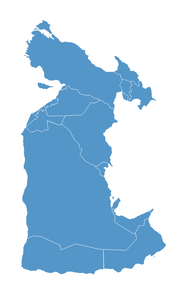
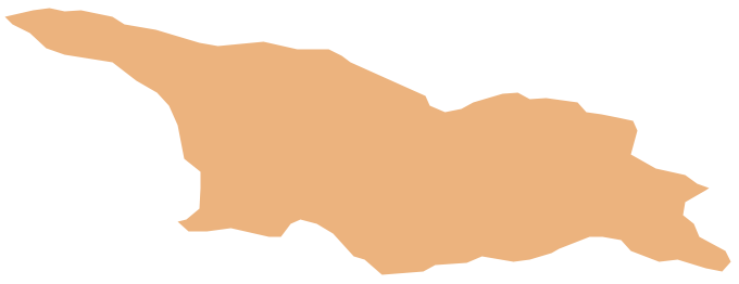
Geo Map - Asia - Georgia
Georgia is a country in the Caucasus region of Eurasia. The vector stencils library Georgia contains contours for ConceptDraw PRO diagramming and vector drawing software. This library is contained in the Continent Maps solution from Maps area of ConceptDraw Solution Park.The vector stencils library "Asia" contains 47 country contours for drawing thematic maps of Asia.
Use it in your spatial infographics for visual representation of geospatial information, statistics and quantitative data in the ConceptDraw PRO diagramming and vector drawing software extended with the Spatial Infographics solution from the area "What is Infographics" of ConceptDraw Solution Park.
Use it in your spatial infographics for visual representation of geospatial information, statistics and quantitative data in the ConceptDraw PRO diagramming and vector drawing software extended with the Spatial Infographics solution from the area "What is Infographics" of ConceptDraw Solution Park.
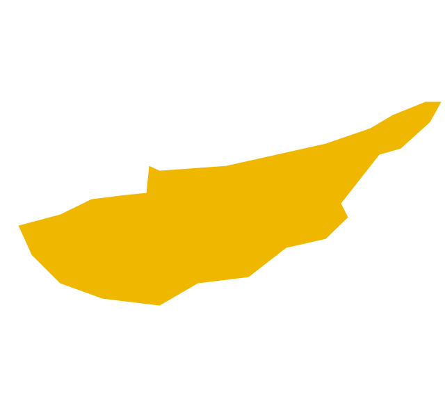
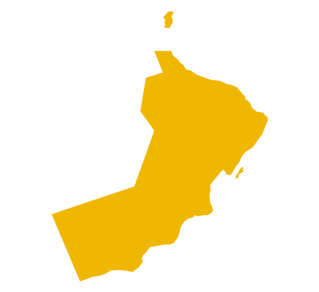
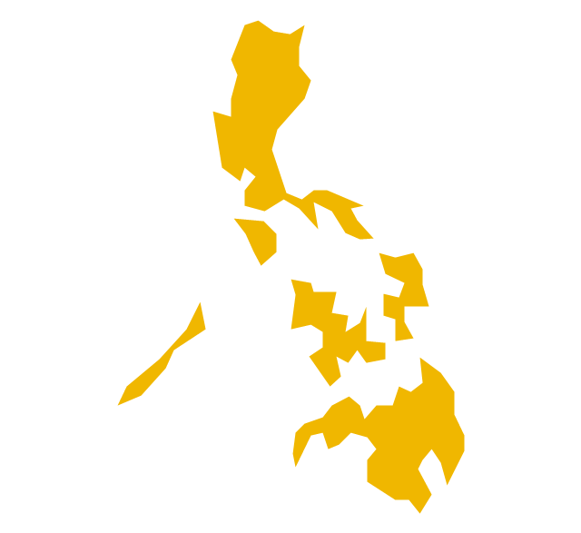
The vector stencils library "Asia" contains 57 Asian state map contours for drawing thematic and political maps of Asia. Use it for visual representation of geospatial information, statistics and quantitative data.
"Asia is the Earth's largest and most populous continent, located primarily in the eastern and northern hemispheres. ... Countries: 49 (and 5 disputed)." [Asia. Wikipedia]
The state map contours example "Asia - Vector stencils library" was created using the ConceptDraw PRO diagramming and vector drawing software extended with the Continent Maps solution from the Maps area of ConceptDraw Solution Park.
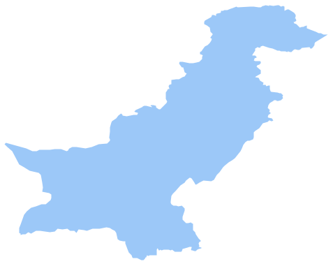
Geo Map - Asia - Pakistan
Pakistan, officially the Islamic Republic of Pakistan, is a sovereign country in South Asia. The vector stencils library Pakistan contains contours for ConceptDraw PRO diagramming and vector drawing software. This library is contained in the Continent Maps solution from Maps area of ConceptDraw Solution Park.Geo Map - Europe - Russia
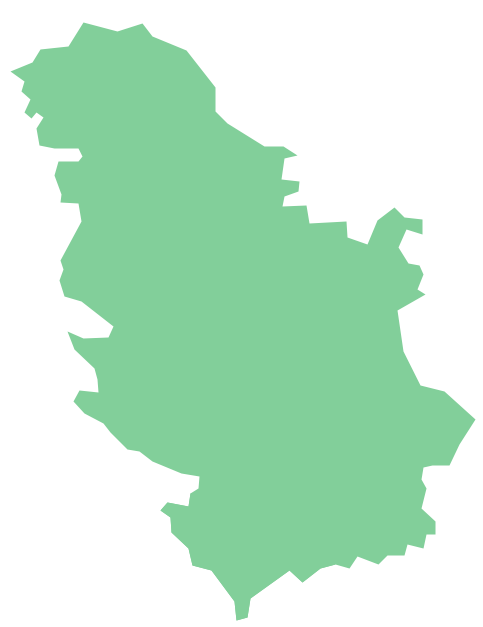
The vector stencils library Russia contains contours for ConceptDraw PRO diagramming and vector drawing software. This library is contained in the Continent Maps solution from Maps area of ConceptDraw Solution Park.Geo Map - Europe - Serbia
The vector stencils library Serbia contains contours for ConceptDraw PRO diagramming and vector drawing software. This library is contained in the Continent Maps solution from Maps area of ConceptDraw Solution Park.Geo Map - Asia - North Korea
North Korea, officially the Democratic People's Republic of Korea, is a country in East Asia, in the northern part of the Korean Peninsula. The vector stencils library North Korea contains contours for ConceptDraw PRO diagramming and vector drawing software. This library is contained in the Continent Maps solution from Maps area of ConceptDraw Solution Park.The vector stencils library "Marketing maps" contains 44 state map contours with capitals and major cities: the Group of Twenty (G20) state maps, EU state maps and World map.
Use it to visualize geospatial information in your marketing infograms.
"The Group of Twenty (also known as the G-20 or G20) is a forum for the governments and central bank governors from 20 major economies. The members, shown highlighted on the map at right, include 19 individual countries—Argentina, Australia, Brazil, Canada, China, France, Germany, India, Indonesia, Italy, Japan, Republic of Korea, Mexico, Russian Federation, Saudi Arabia, South Africa, Turkey, United Kingdom, United States—and the European Union (EU). The EU is represented by the European Commission and by the ECB." [G-20 major economies. Wikipedia]
The G-20 state map contours example "Design elements - Marketing maps (G-20)" was created using the ConceptDraw PRO diagramming and vector drawing software extended with the Marketing Infographics solition from the area "Business Infographics" in ConceptDraw Solution Park.
- Geo Map - Asia - Syria | Geo Map - Asia - Turkey | Geo Map - Europe ...
- Map Korea Png
- Iraq Map Png
- Geo Map - Asia - Papua New Guinea | Southwest Asia - Political ...
- Geo Map - Asia - Papua New Guinea | Southwest Asia - Political ...
- Geo Map - Asia - Papua New Guinea | Asia - Vector stencils library ...
- Geo Map - Asia - Turkey | Asia - Vector stencils library | European ...
- Geo Map - Asia - Papua New Guinea | How To Do A Mind Map In ...
- Pakistan Vector Map Png
- Philippine Map Png
- Asia - Vector stencils library | Geo Map - Asia - Papua New Guinea ...
- Geo Map - Asia - Indonesia | Geo Map - Asia - Papua New Guinea ...
- Geo Map - Asia - Papua New Guinea | South Asia - Political map ...
- Indian Map Vector Png
- Yellow Philippine Map Png
- Asia Map Png Vector
- Thailand Map Png
- Japan Map Png
- India Map Vector Png
- Indian Map Png




-asia---vector-stencils-library.png--diagram-flowchart-example.png)








-asia---vector-stencils-library.png--diagram-flowchart-example.png)


-asia---vector-stencils-library.png--diagram-flowchart-example.png)




-state-maps-design-elements---marketing-maps-(g-20).png--diagram-flowchart-example.png)