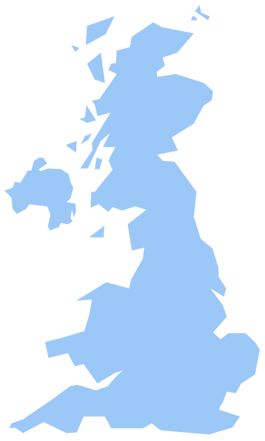
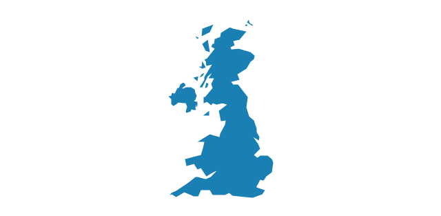
Geo Map - Europe - United Kingdom
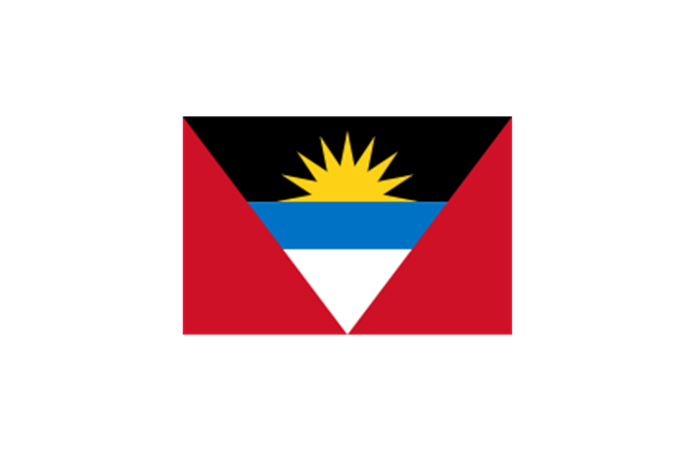
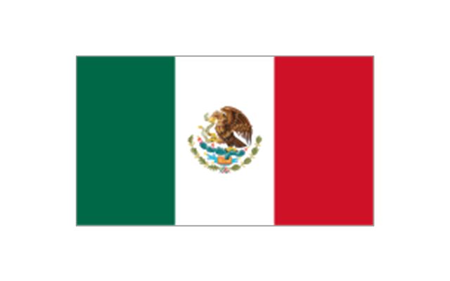
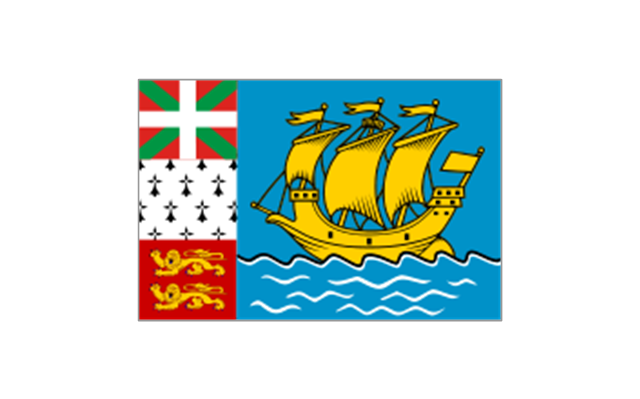
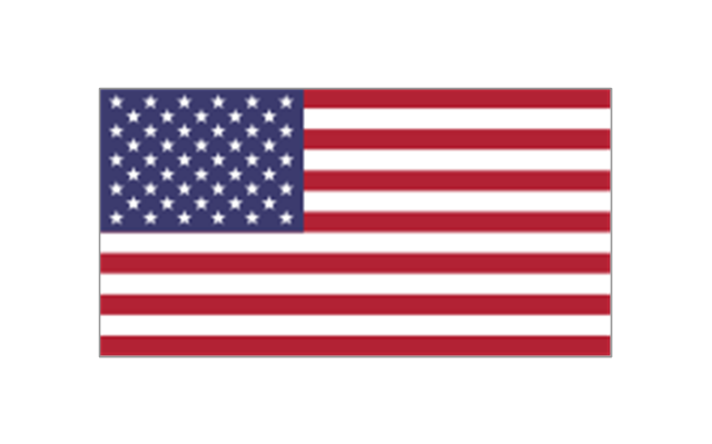
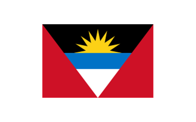
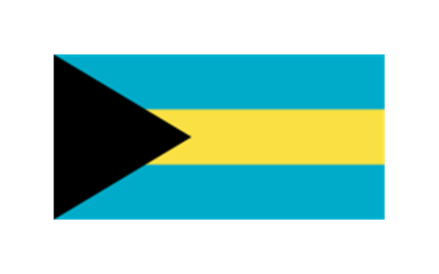
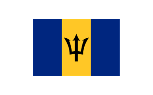
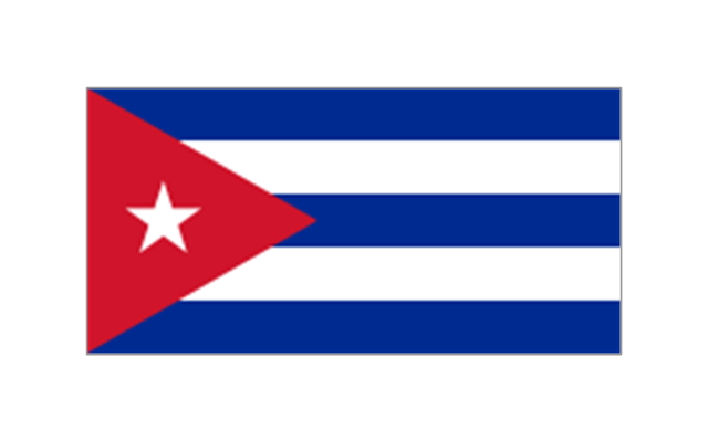
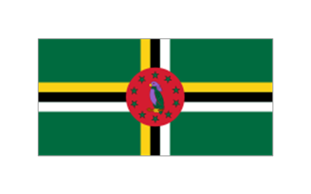
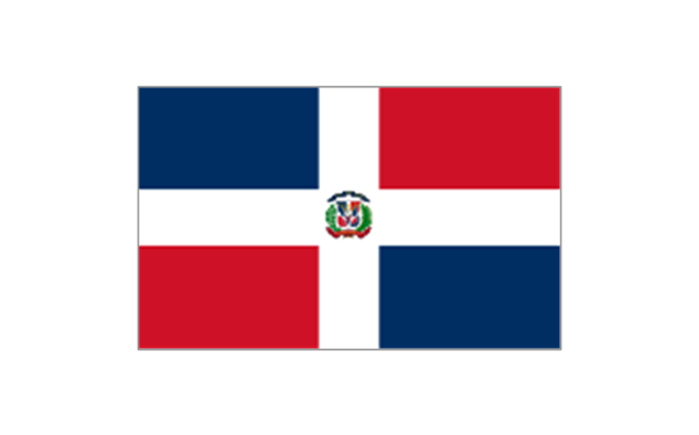
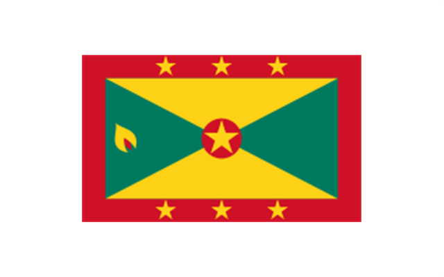
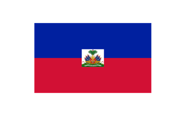
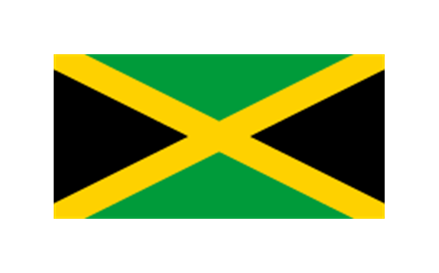
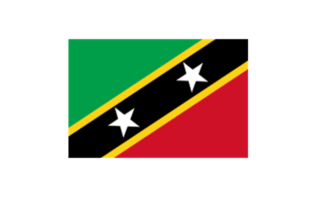
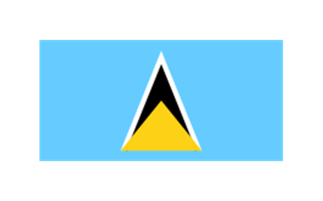
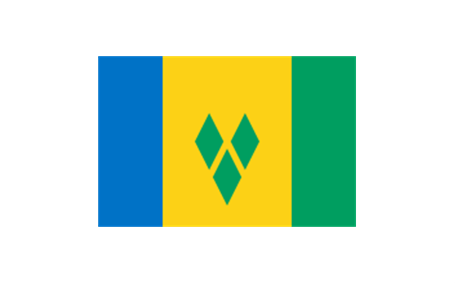
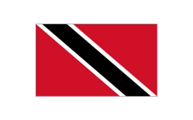
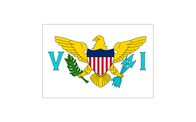
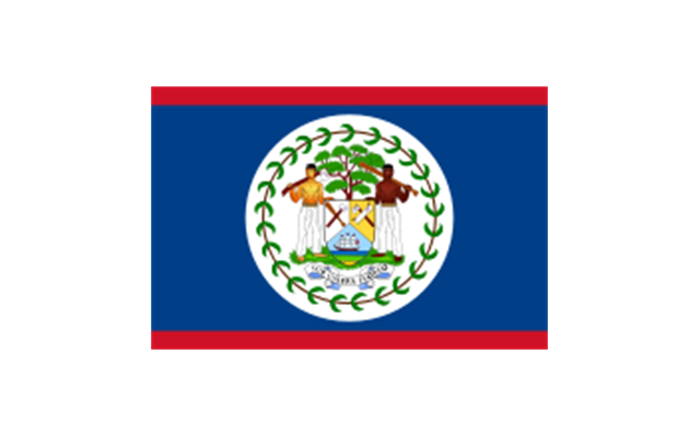
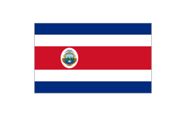
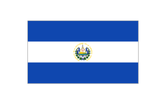
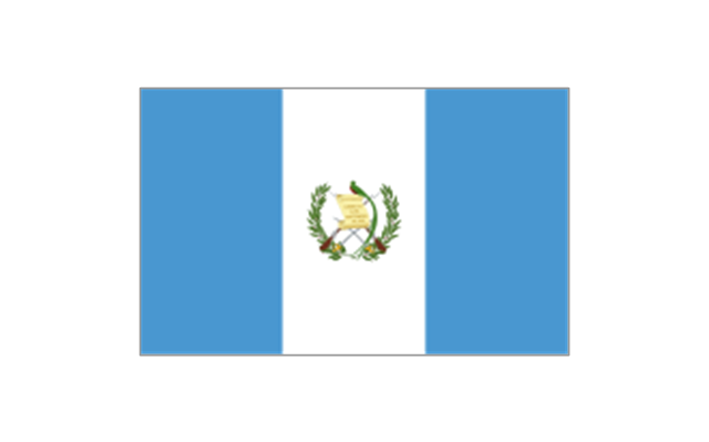
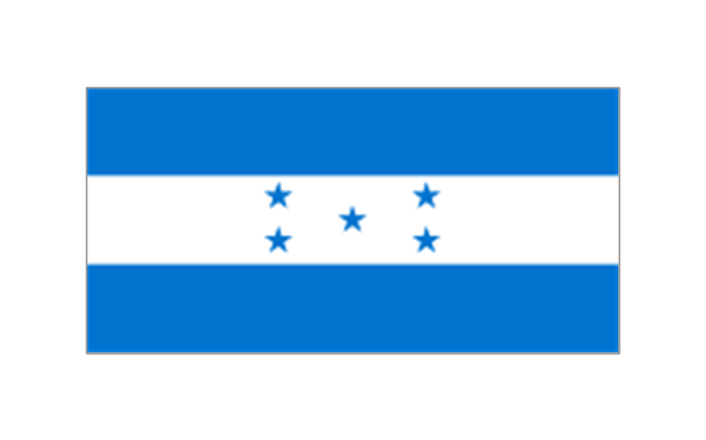
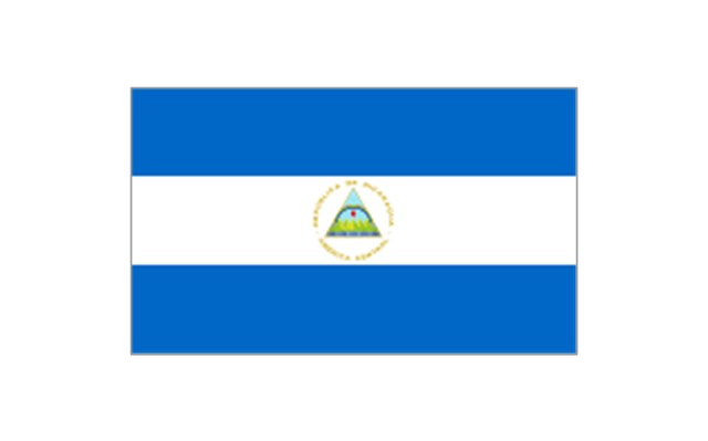
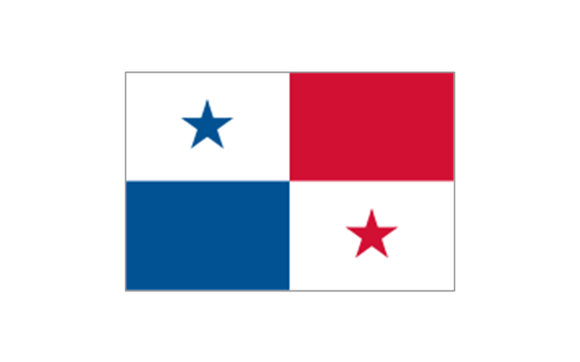
The vector stencils library United Kingdom contains contours for ConceptDraw PRO diagramming and vector drawing software. This library is contained in the Continent Maps solution from Maps area of ConceptDraw Solution Park.The stencils library "North and Central America flags" contains 35 clipart images of North and Central American countries state flags.
"Flags of North America.
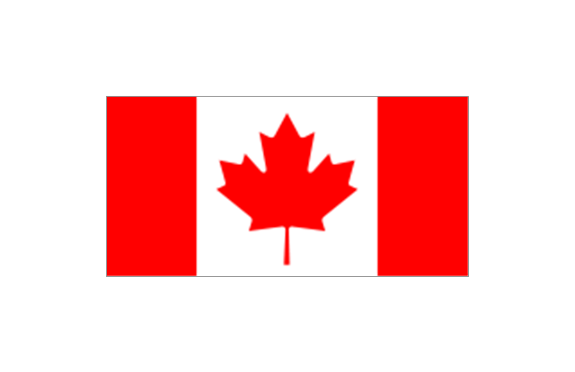
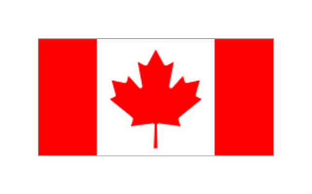
North America: Flag of Canada, Flag of Mexico, Flag of the United States.
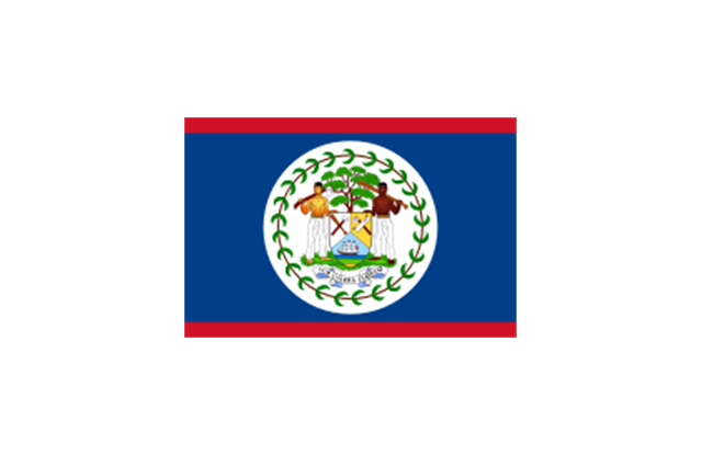
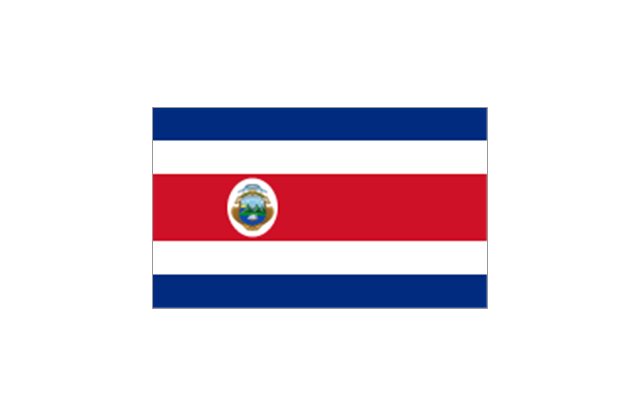
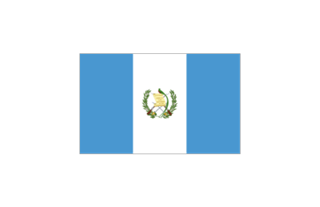
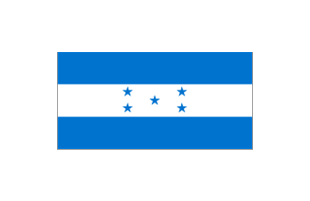
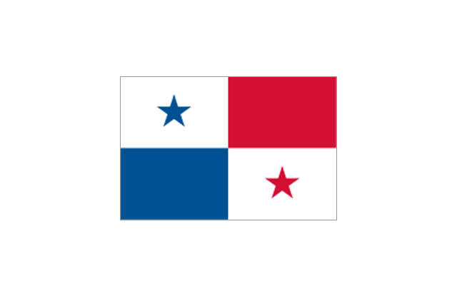
Central America: Flag of Belize, Flag of Costa Rica, Flag of El Salvador, Flag of Guatemala, Flag of Honduras, Flag of Nicaragua, Flag of Panama.
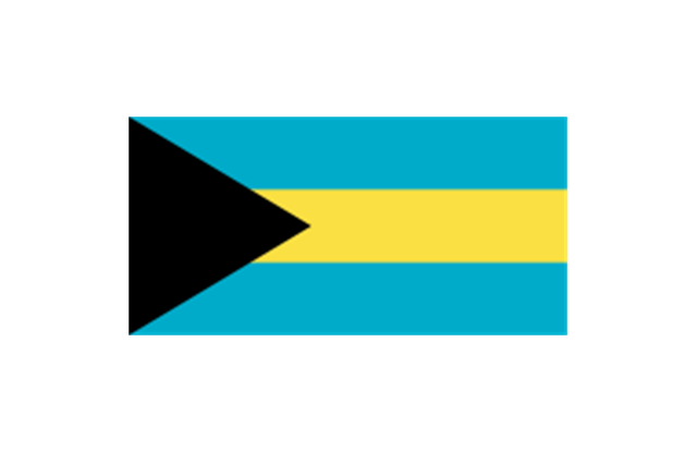
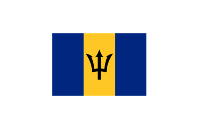
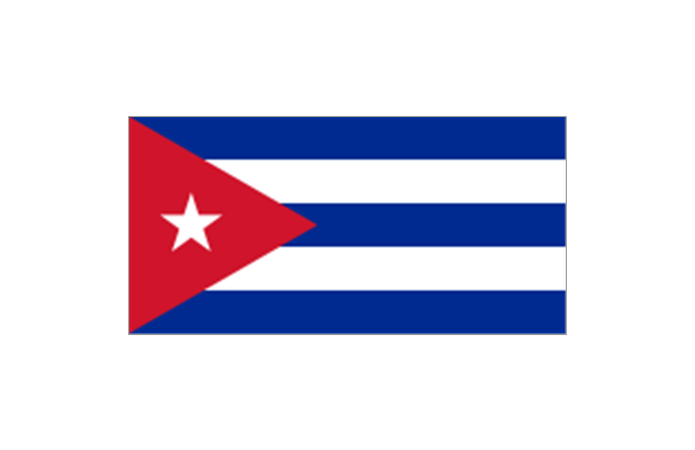
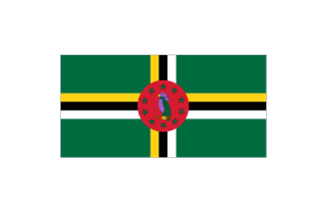
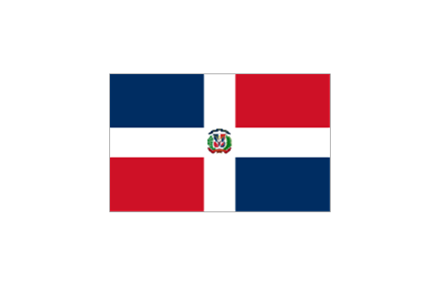
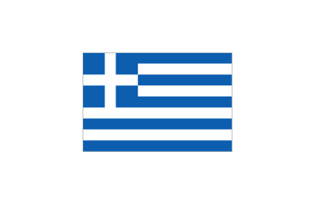
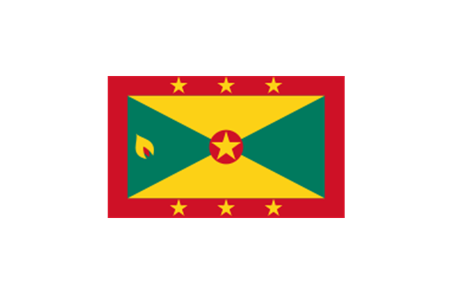
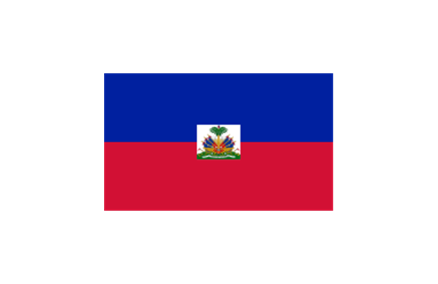
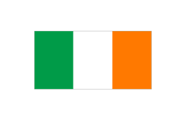
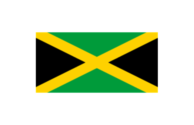
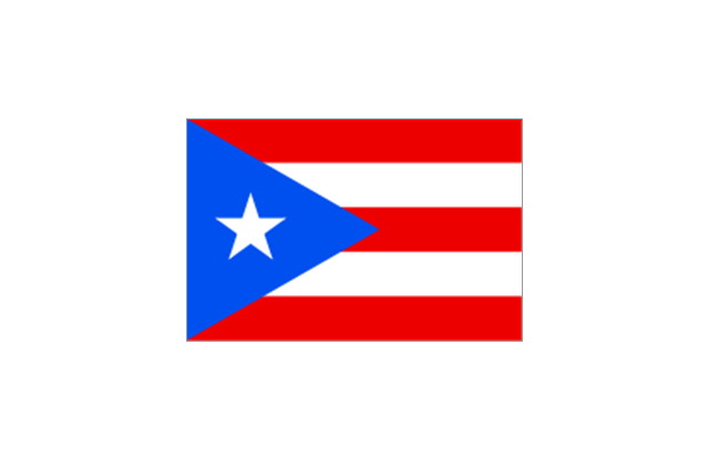
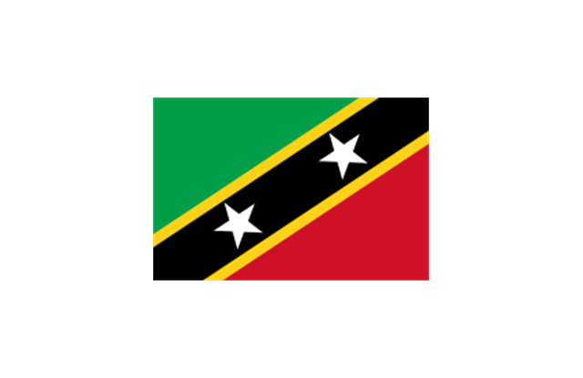
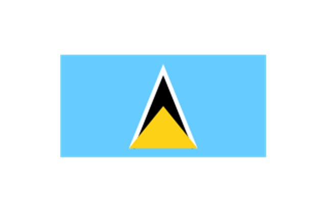
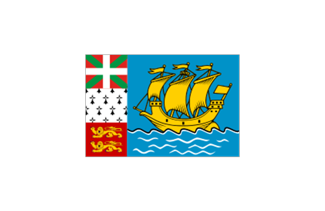
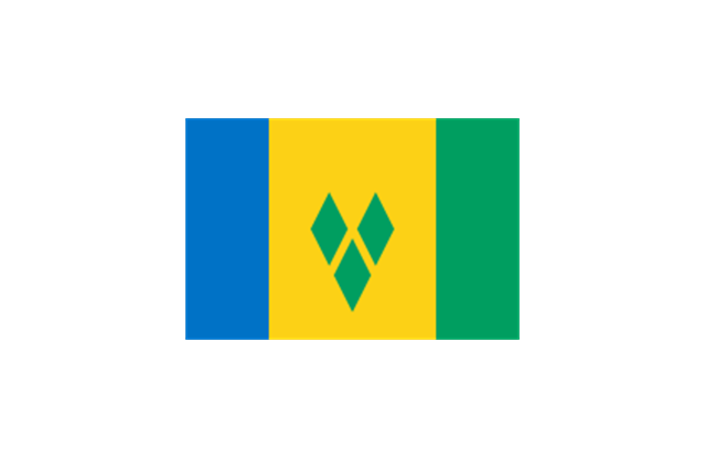
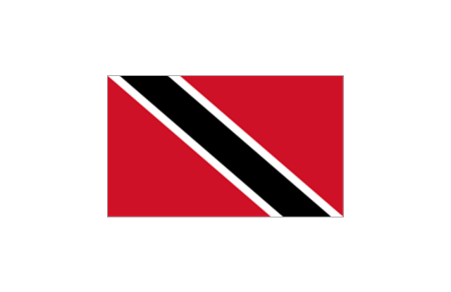
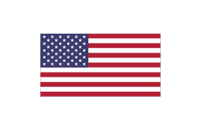
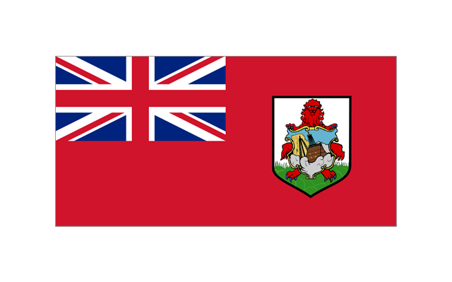
Caribbean: Flag of Anguilla (United Kingdom), Flag of Antigua and Barbuda, Flag of Aruba (Netherlands), Flag of the Bahamas, Flag of Barbados, Flag of Bonaire (Netherlands), Flag of the British Virgin Islands (United Kingdom), Flag of the Cayman Islands (United Kingdom), Flag of Cuba, Flag of Curacao (Netherlands), Flag of Dominica, Flag of the Dominican Republic, Flag of Grenada, Unofficial Flag of Guadeloupe (France), Flag of Haiti, Flag of Jamaica, Unofficial Flag of Martinique (France), Flag of Montserrat (United Kingdom), Unofficial Flag of Navassa Island (United States), Flag of Puerto Rico (United States), Flag of Saba (Netherlands), Unofficial Flag of Saint Barthelemy (France), Flag of Saint Kitts and Nevis, Flag of Saint Lucia, Unofficial Flag of Saint Martin (France), Flag of Saint Vincent and the Grenadines, Flag of Sint Eustatius (Netherlands), Flag of Sint Maarten (Netherlands), Flag of Trinidad and Tobago, Flag of the Turks and Caicos Islands (United Kingdom), Flag of the United States Virgin Islands (United States)." [Flags of North America. Wikipedia]
The clip art example "North and Central America flags - Stencils library" was created using the ConceptDraw PRO diagramming and vector drawing software extended with the Continent Maps solution from the Maps area of ConceptDraw Solution Park.
www.conceptdraw.com/ solution-park/ maps-continent
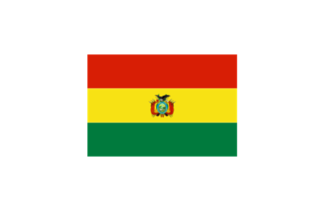
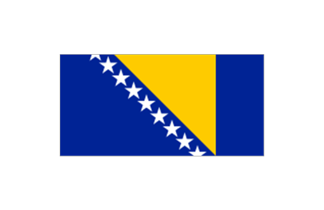
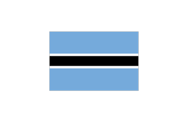
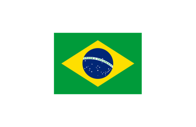
The vector clipart library State flags contains 213 flags of world countries.
Use the vector stencils library State flags for drawing you own illustrations, presentation slides and infographics using the ConceptDraw PRO diagramming and vector drawing software.
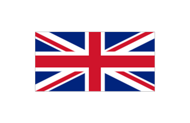
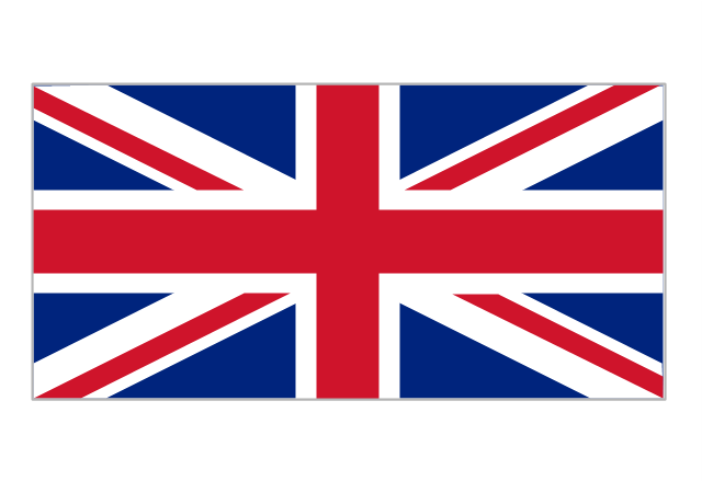
"A state flag is a variant of a national flag (or occasionally a completely different design) specifically designated and restricted by law or custom (theoretically or actually) to use by a country's government or its agencies. For this reason they are sometimes referred to as government flags. In many countries the state flag and the civil flag (as flown by the general public) are identical, but in other countries, notably those in Latin America, central Europe, and Scandinavia, the state flag is a more complex version of the national flag, often featuring the national coat of arms or some other emblem as part of the design. Scandinavian countries also use swallowtailed state flags, to further differentiate them from civil flags. In addition, some countries have state ensigns, separate flags for use by non-military government ships such as coast guard vessels. For example, government ships in the United Kingdom fly the blue ensign." [State flag. Wikipedia]
The vector clipart example "Design elements - State flags" is included in the Artwork solution from the Illustration area of ConceptDraw Solution Park.
www.conceptdraw.com/ solution-park/ illustrations-artwork
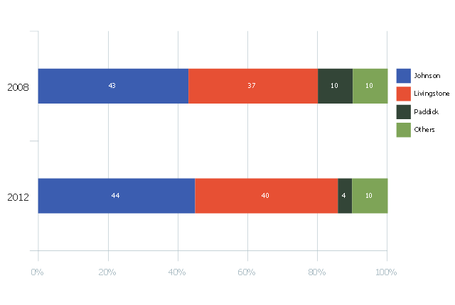
This divided bar chart sample was drawn on the base of the infographics "London Elections Results by Numbers" from the london.gov.uk website.
[data.london.gov.uk/ datastore/ package/ london-elections-results-2012-wards-boroughs-constituency]
"There are six types of elections in the United Kingdom: United Kingdom general elections, elections to devolved parliaments and assemblies, elections to the European Parliament, local elections, mayoral elections and Police and Crime Commissioner elections. Elections are held on Election Day, which is conventionally a Thursday. General elections do not have fixed dates, but must be called within five years of the opening of parliament following the last election. Other elections are held on fixed dates, though in the case of the devolved assemblies and parliaments early elections can occur in certain situations. Currently, six electoral systems are used: the single member plurality system (First Past the Post), the multi member plurality system, party list PR, the single transferable vote, the Additional Member System and the Supplementary Vote.
Elections are administered locally: in each lower-tier local authority, the actual polling procedure is run by the Returning Officer and the compiling and maintenance of the electoral roll by the Electoral Registration Officer (except in Northern Ireland, where the Electoral Office for Northern Ireland assumes both responsibilities). The Electoral Commission only sets standards for and issues guidelines to Returning Officers and Electoral Registration Officers, but is responsible for nationwide electoral administration (such as the registration of political parties and directing the administration of national referendums)." [Elections in the United Kingdom. Wikipedia]
The divided bar diagram example "London election results" was created using the ConceptDraw PRO diagramming and vector drawing software extended with the Divided Bar Diagrams solution from the Graphs and Charts area of ConceptDraw Solution Park.
www.conceptdraw.com/ solution-park/ charts-divided-bar-diagrams
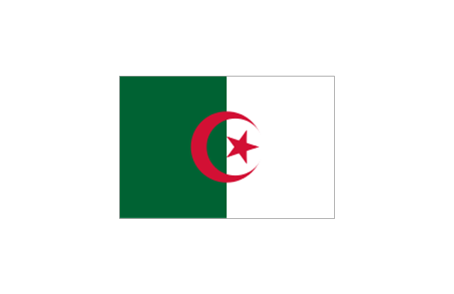
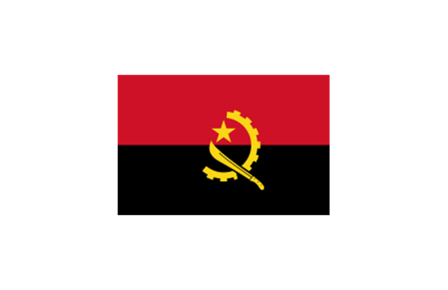
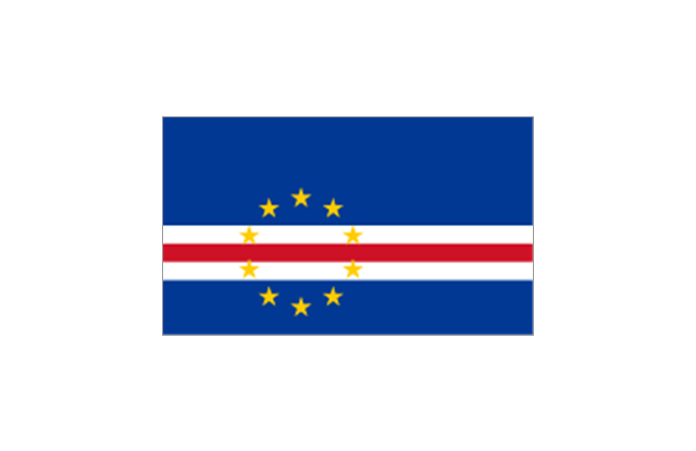
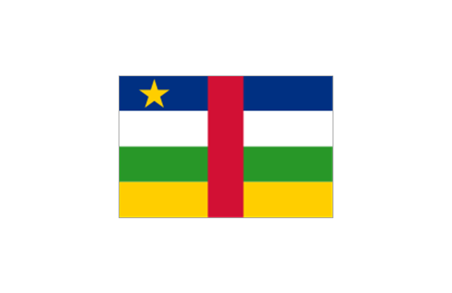
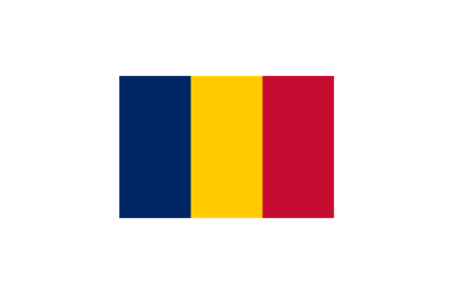
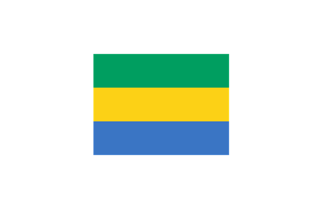
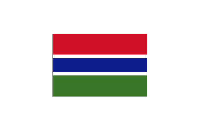
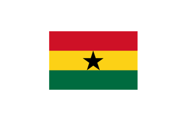
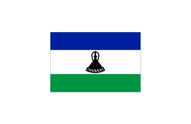
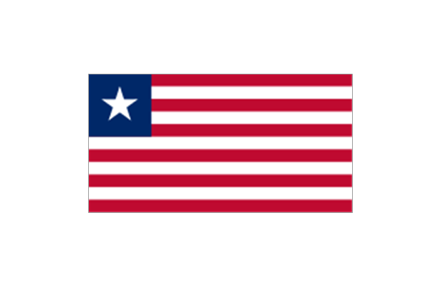
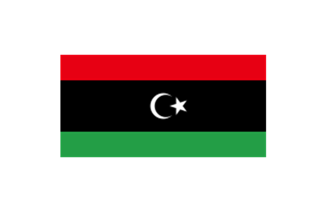
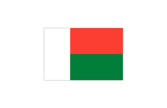
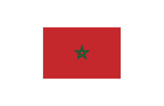
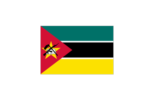
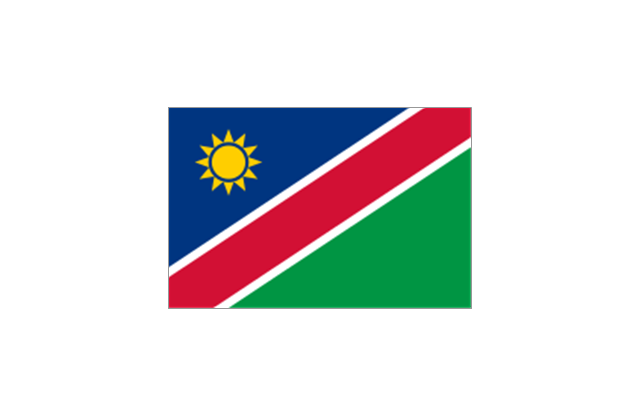
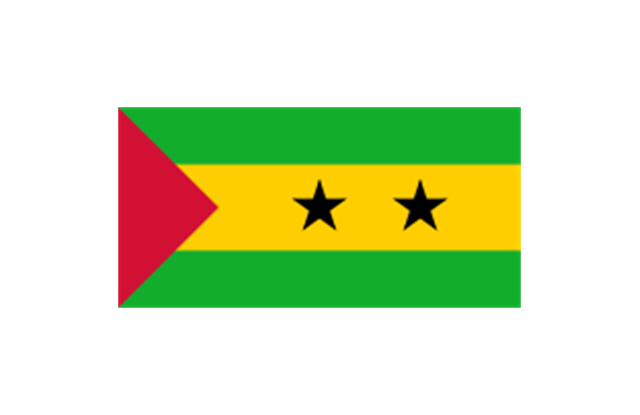
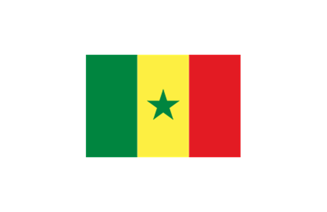
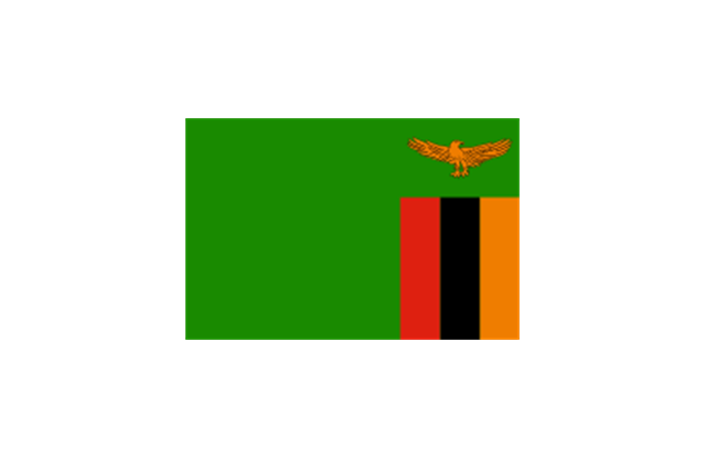
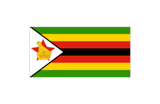
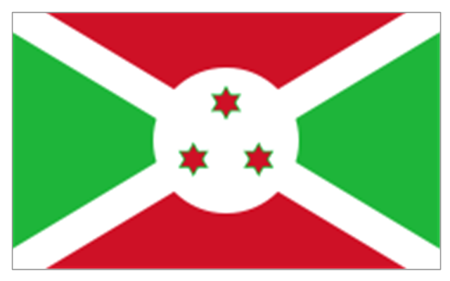
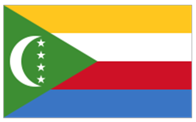
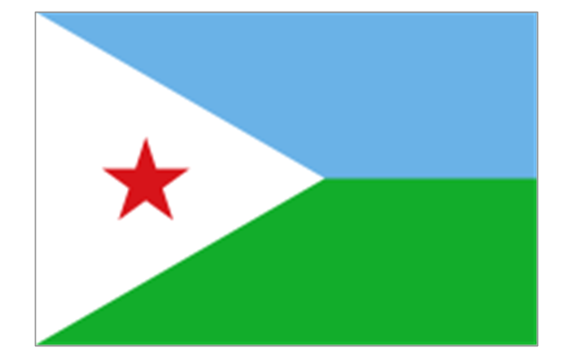
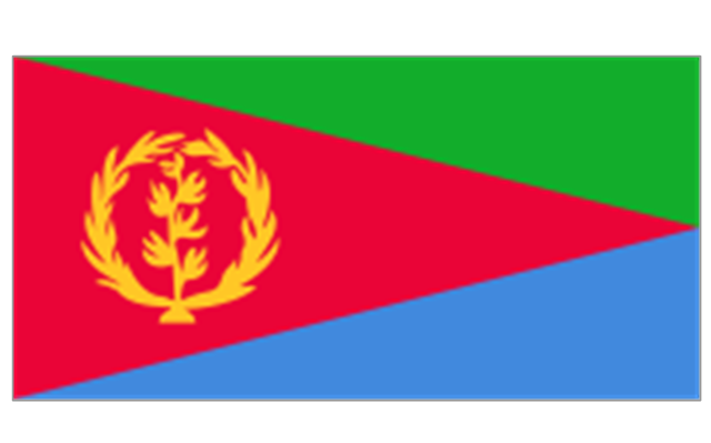
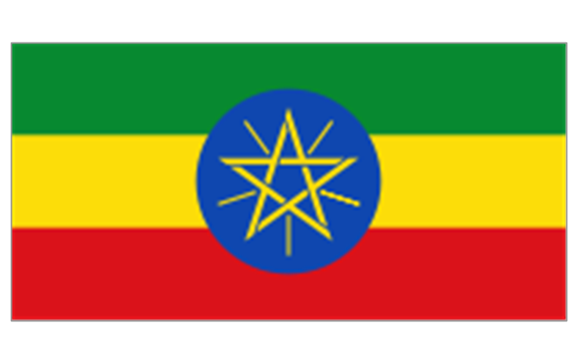
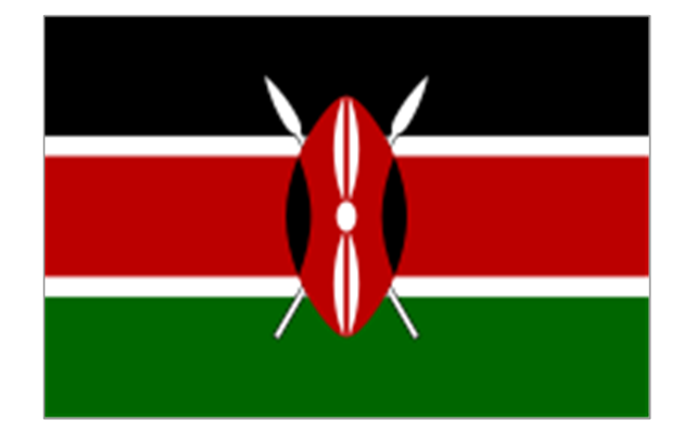
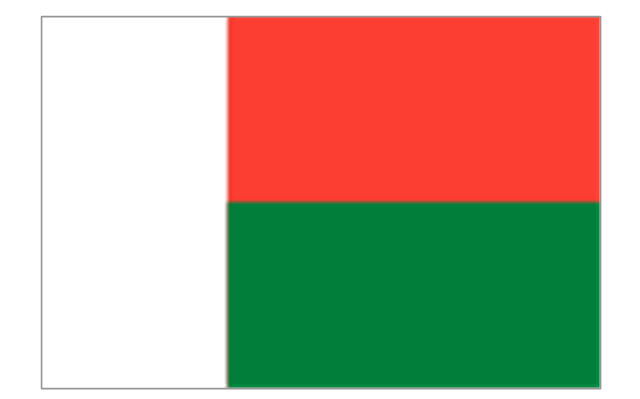
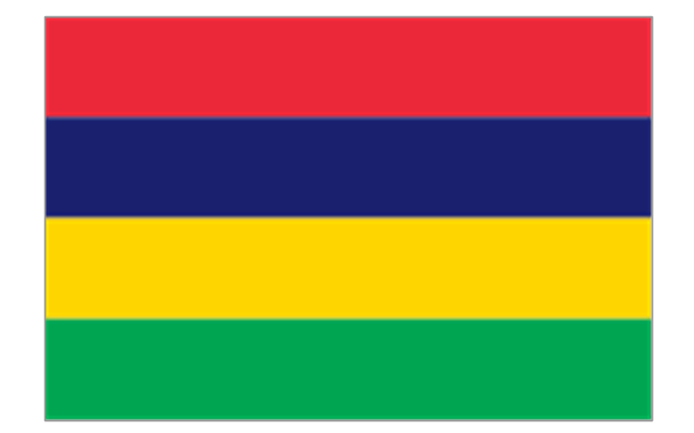
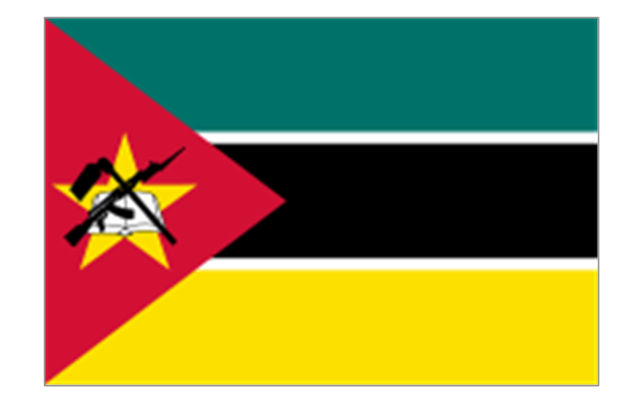
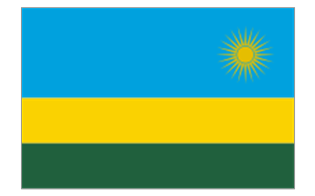
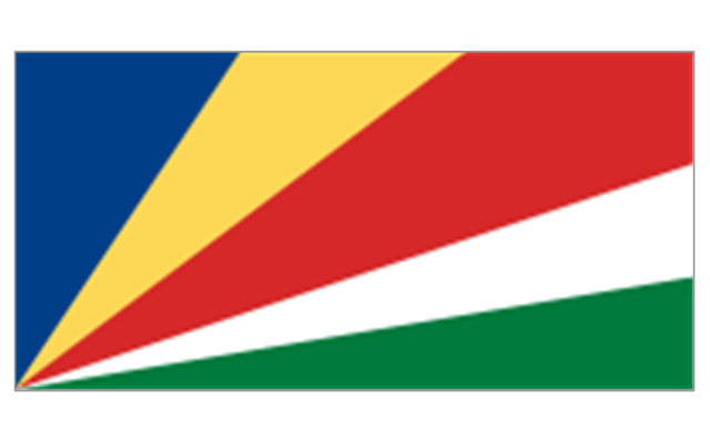
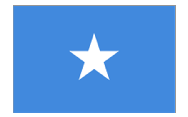
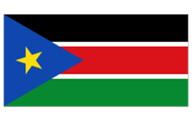
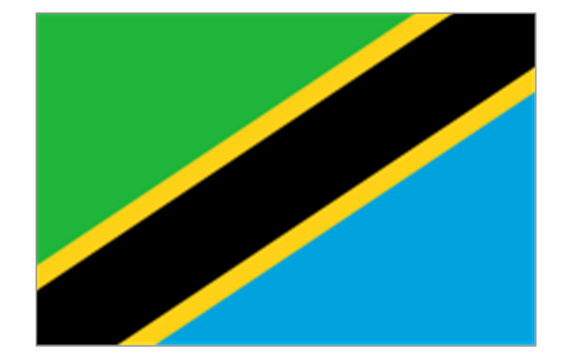
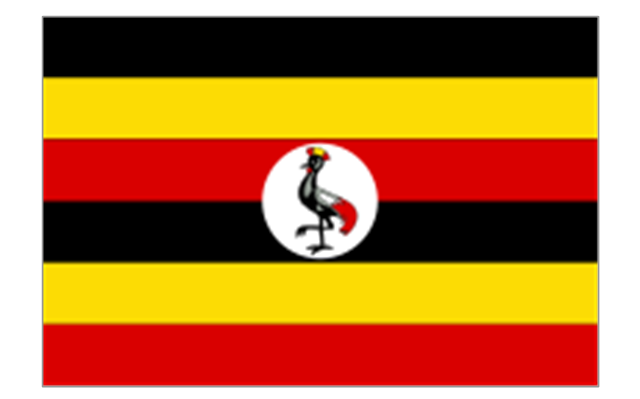
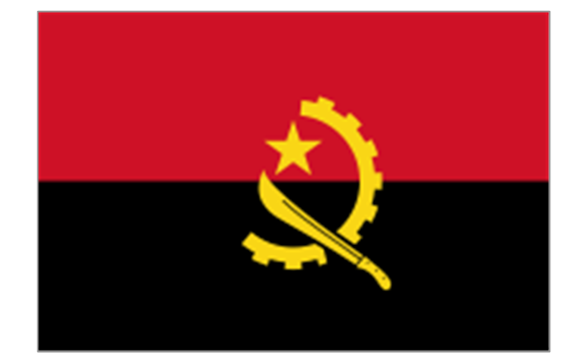
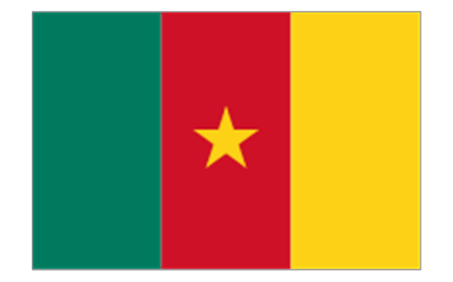
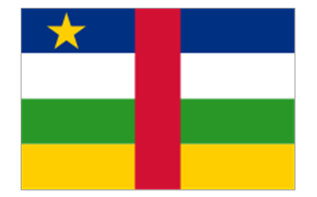
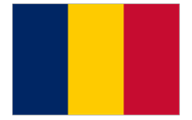
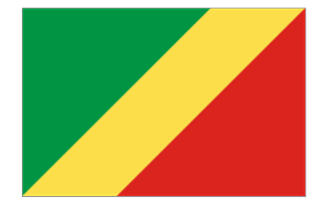
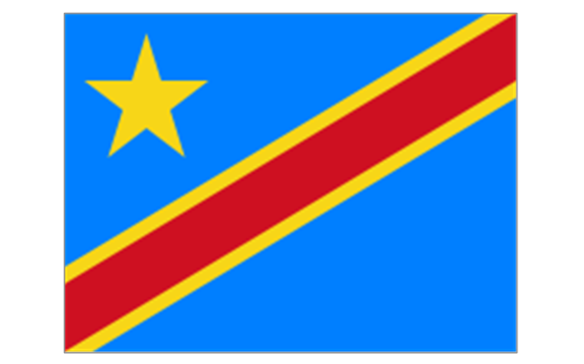
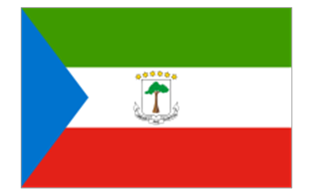
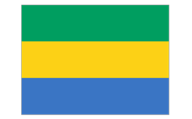
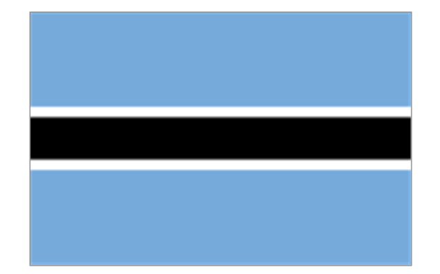
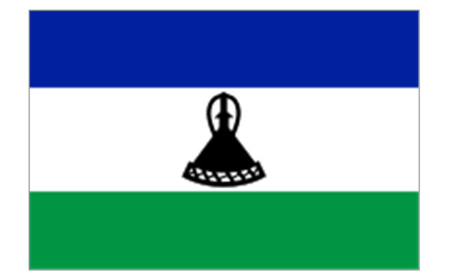
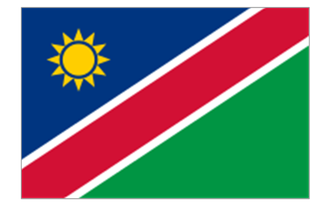
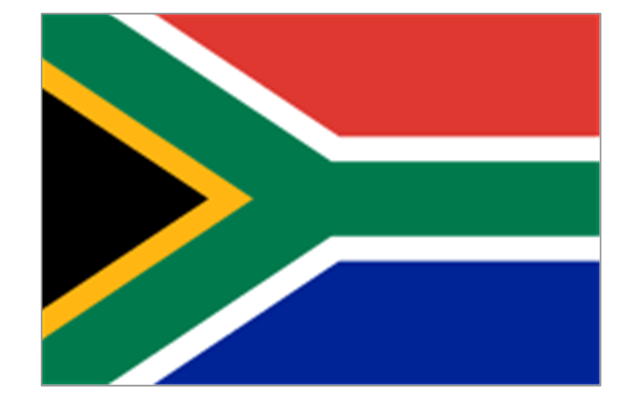
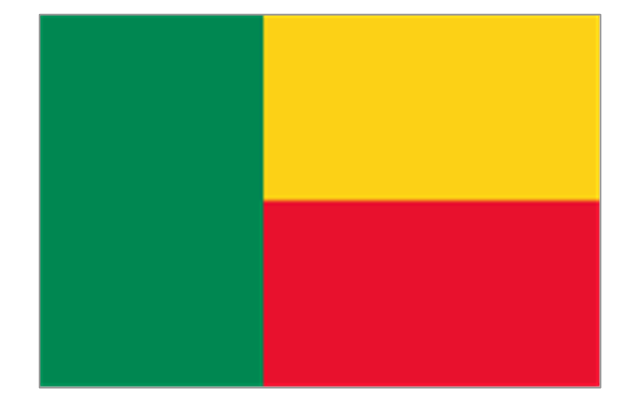
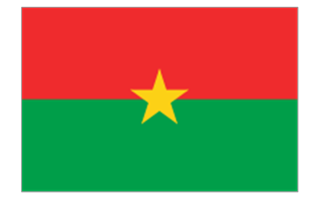
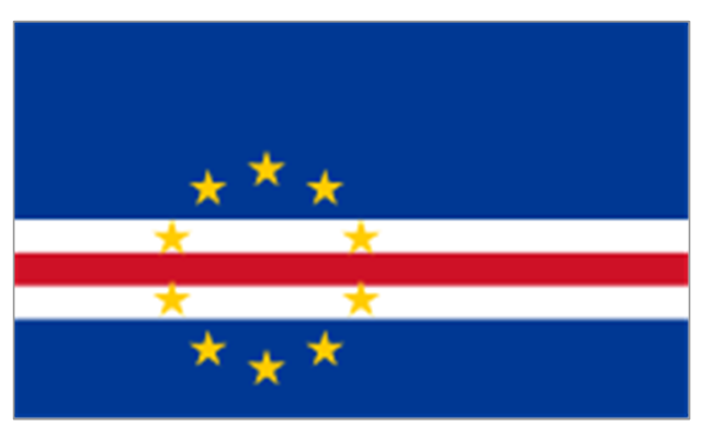
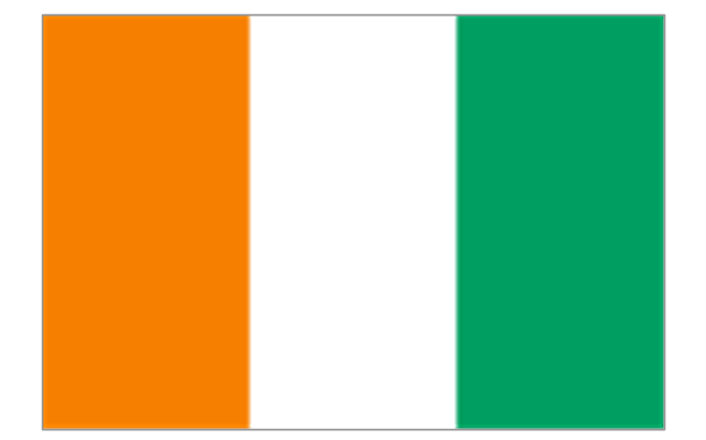
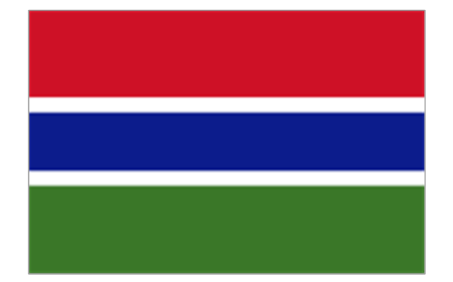
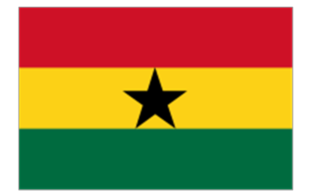
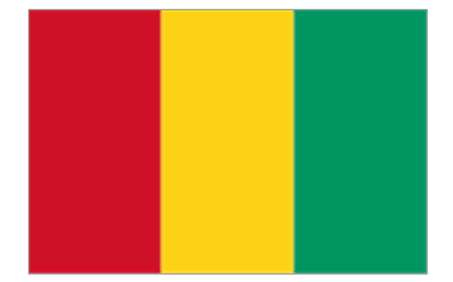
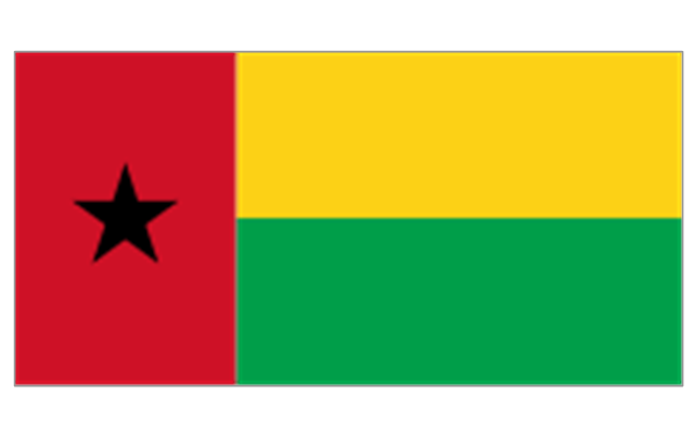
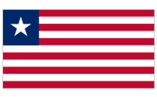
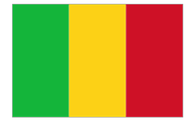
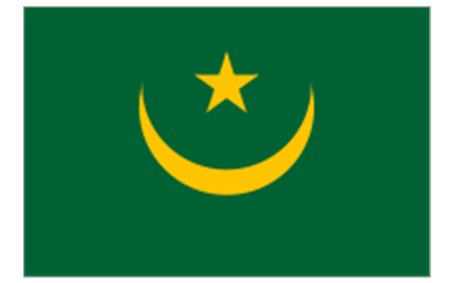
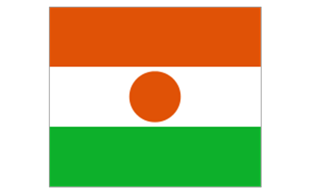
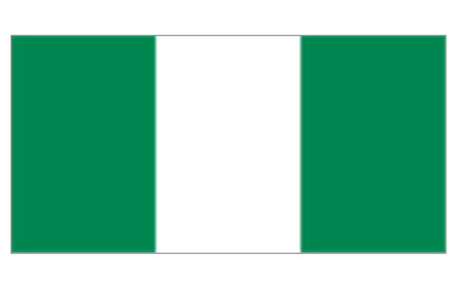
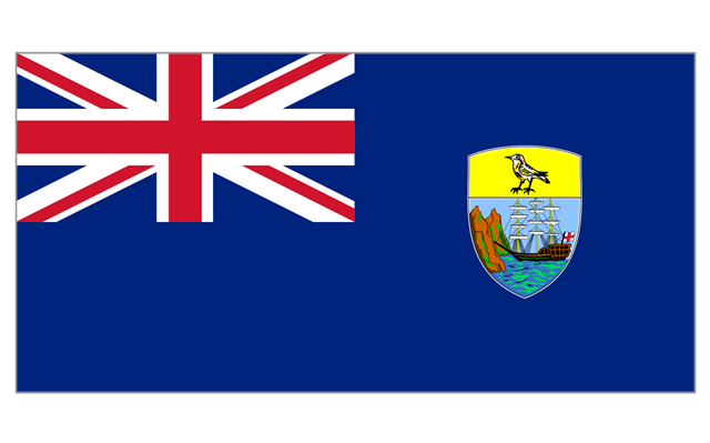
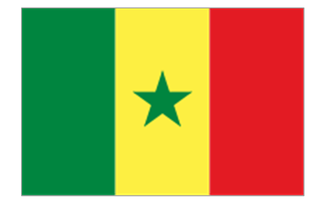
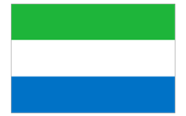
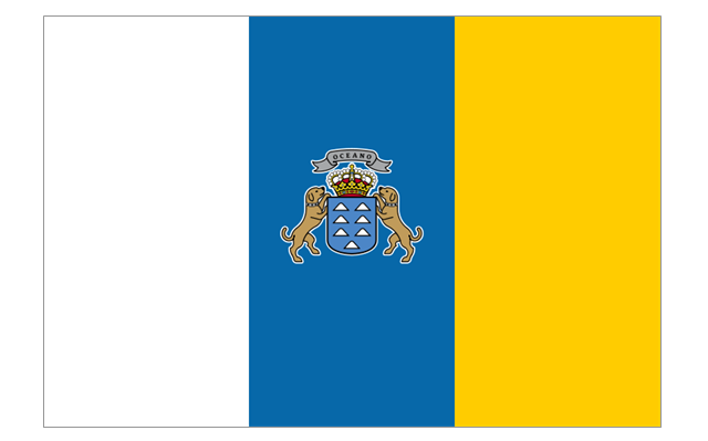
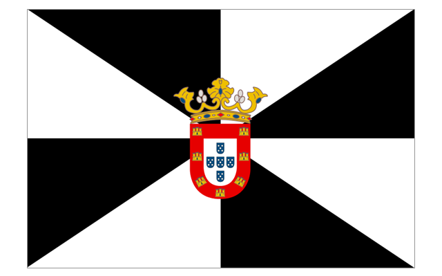
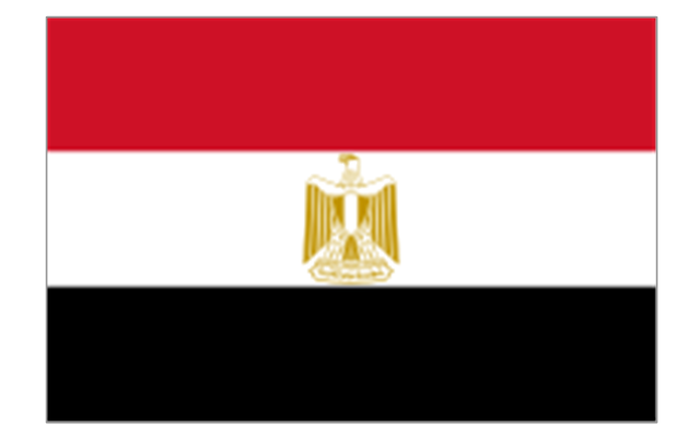
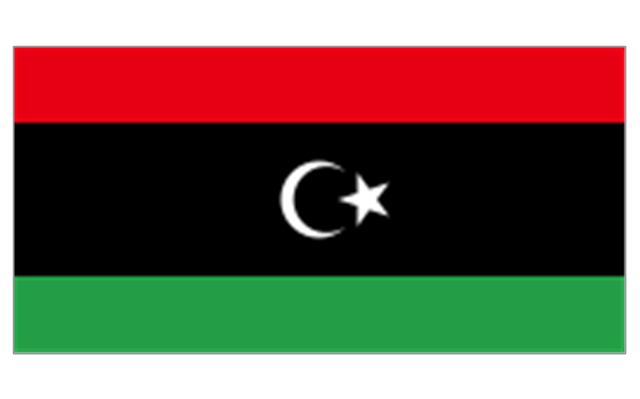
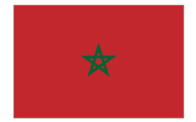
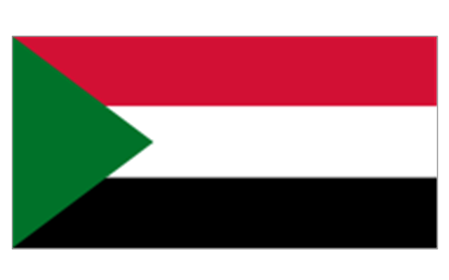
The stencils library "Africa flags" contains 61 clipart images of Africa state flags.
"These are the various flags of Africa.
1. Supernational and international flags:
Flag of the African Union, Flag of the East African Community, Flag of the OPEC, Flag of the Arab League, Flag of the Organisation of the Islamic Conference, Pan-African flag (not in official use).
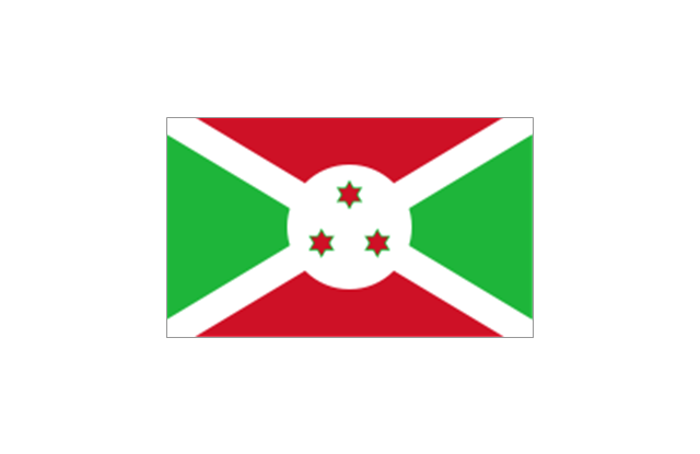
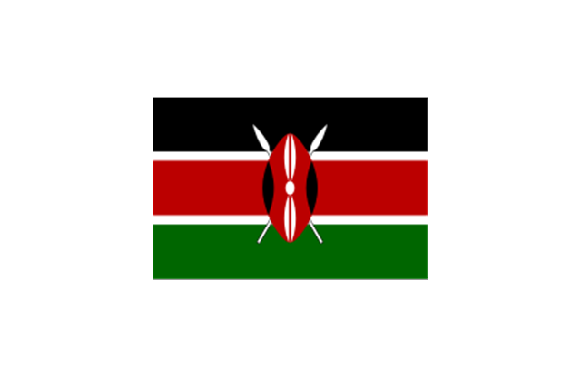
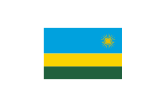
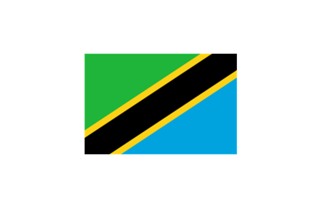
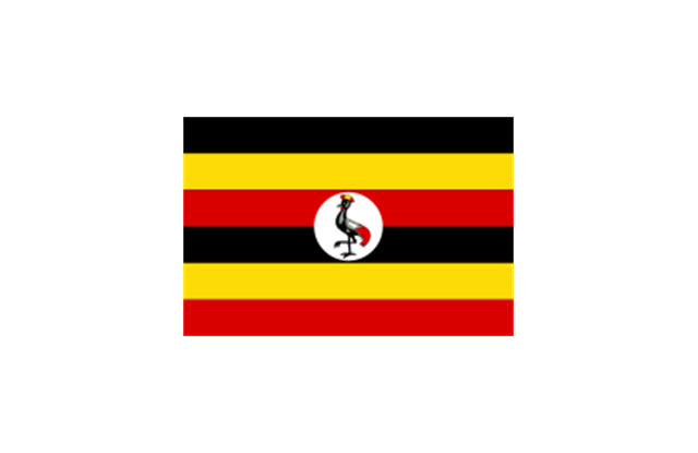
2. African Great Lakes: Flag of Burundi, Flag of Kenya, Flag of Rwanda, Flag of South Sudan, Flag of Tanzania, Flag of Uganda.
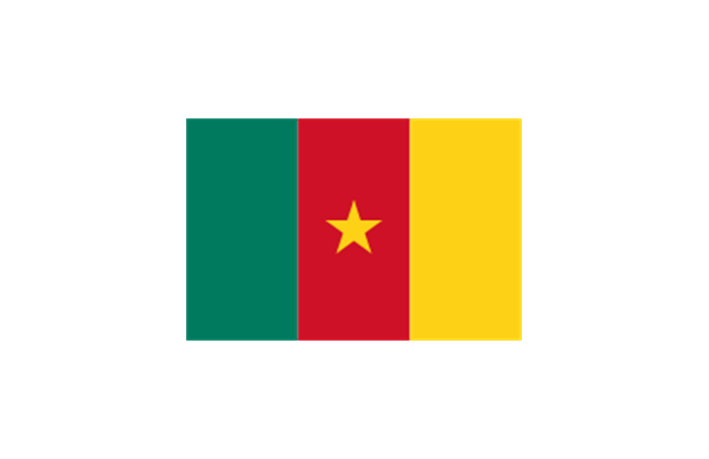
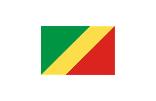
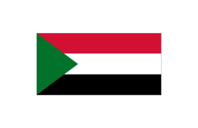
3. Central Africa: Flag of Angola, Flag of Cameroon, Flag of the Central African Republic, Flag of Chad, Flag of the Democratic Republic of the Congo, Flag of the Republic of the Congo, Flag of Equatorial Guinea, Flag of Gabon, Flag of S??o Tom?? and Pr??ncipe, Flag of Sudan.
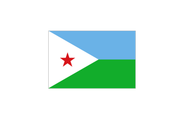
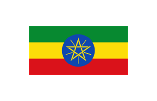
4. Horn of Africa: Flag of Djibouti, Flag of Eritrea, Flag of Ethiopia, Flag of Somalia.
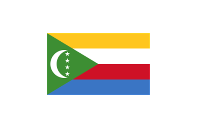
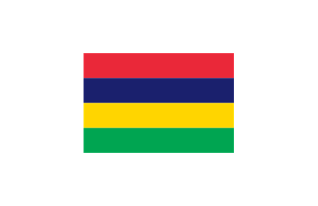
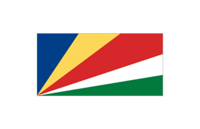
5. Indian Ocean islands: Flag of Comoros, Flag of Madagascar, Flag of Mauritius, Unofficial Flag of Mayotte (France), Flag of R??union (France), Flag of the Seychelles.
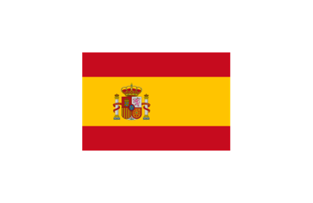
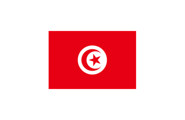
6. North Africa: Flag of Algeria, Flag of the Canary Islands (Spain), Flag of Ceuta (Spain), Flag of Egypt, Flag of Libya, Flag of Madeira (Portugal), Flag of Melilla (Spain), Flag of Morocco, Flag of Tunisia, Flag of the Sahrawi Arab Democratic Republic.
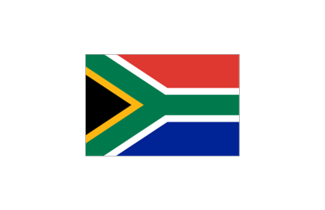
7. Southern Africa: Flag of Botswana, Flag of Lesotho, Flag of Malawi, Flag of Mozambique, Flag of Namibia, Flag of South Africa, Flag of Swaziland, Flag of Zambia, Flag of Zanzibar (Tanzania), Flag of Zimbabwe.
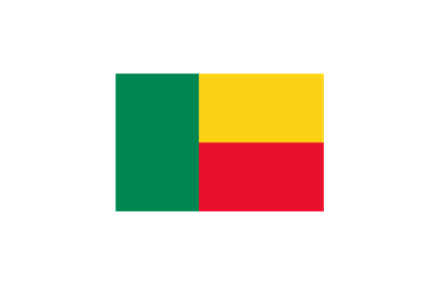
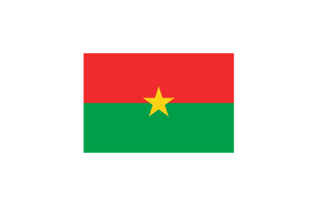
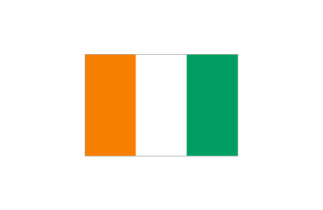
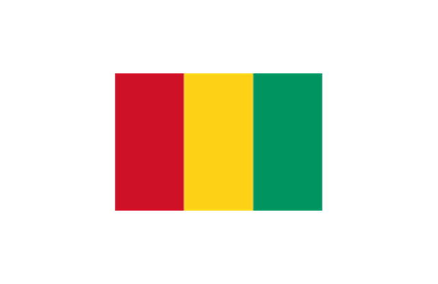
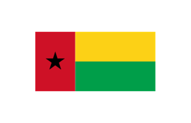
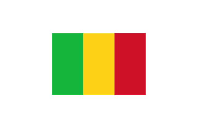
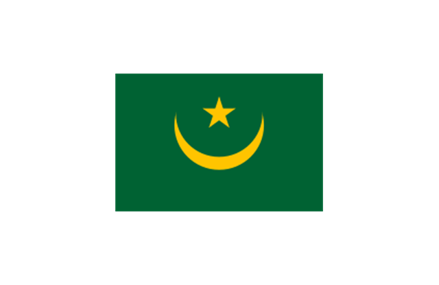
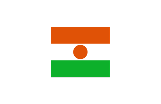
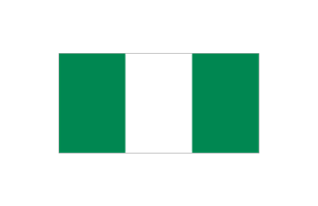
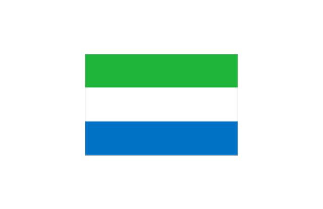
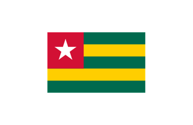
8. West Africa: Flag of Ascension Island (United Kingdom), Flag of Benin, Flag of Burkina Faso, Flag of Cape Verde, Flag of The Gambia, Flag of Ghana, Flag of Guinea, Flag of Guinea-Bissau, Flag of Ivory Coast, Flag of Liberia, Flag of Mali, Flag of Mauritania, Flag of Niger, Flag of Nigeria, Flag of Saint Helena (United Kingdom), Flag of Senegal, Flag of Sierra Leone, Flag of Togo, Flag of Tristan da Cunha (United Kingdom)." [Flags of Africa. Wikipedia]
The clip art example "Africa flags - Stencils library" was created using the ConceptDraw PRO diagramming and vector drawing software extended with the Continent Maps solution from the Maps area of ConceptDraw Solution Park.
www.conceptdraw.com/ solution-park/ maps-continent
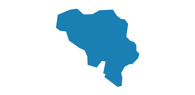
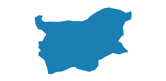
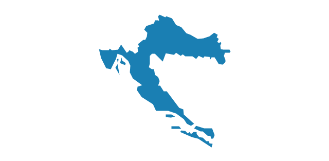
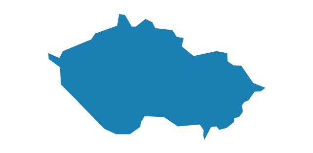
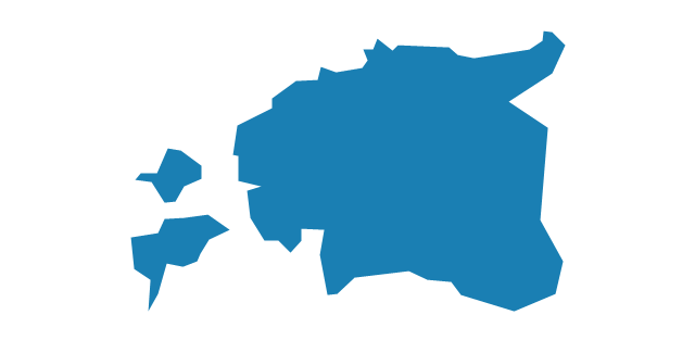
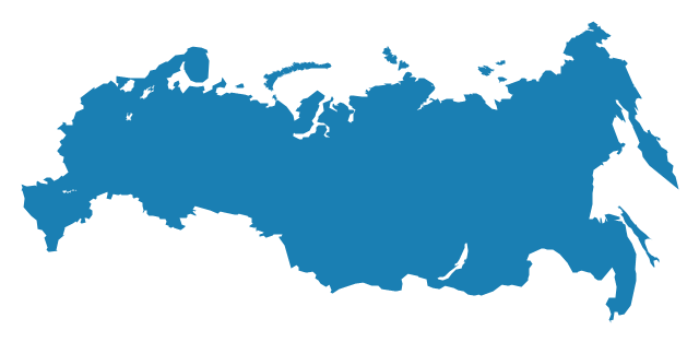
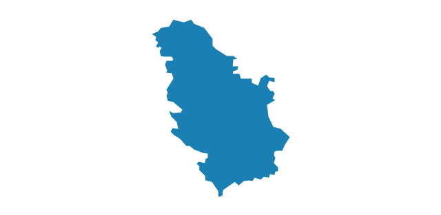
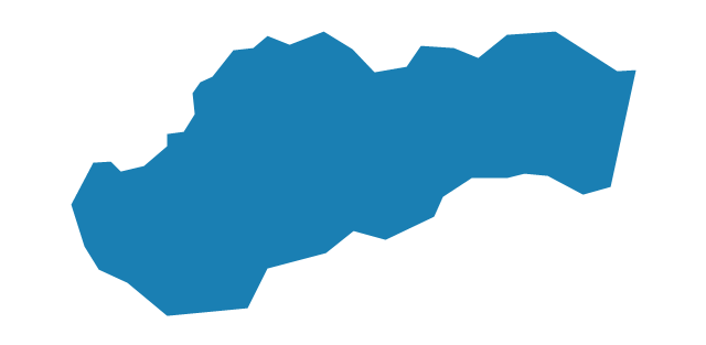
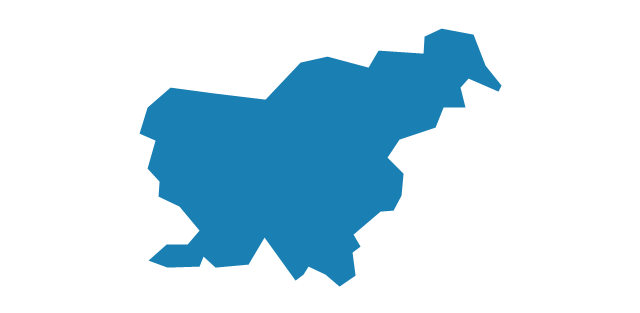
The vector stencils library "Europe" contains 39 country contours for drawing thematic maps of Europe.
Use it in your spatial infographics for visual representation of geospatial information, statistics and quantitative data in the ConceptDraw PRO diagramming and vector drawing software extended with the Spatial Infographics solution from the area "What is Infographics" of ConceptDraw Solution Park.
Use it in your spatial infographics for visual representation of geospatial information, statistics and quantitative data in the ConceptDraw PRO diagramming and vector drawing software extended with the Spatial Infographics solution from the area "What is Infographics" of ConceptDraw Solution Park.
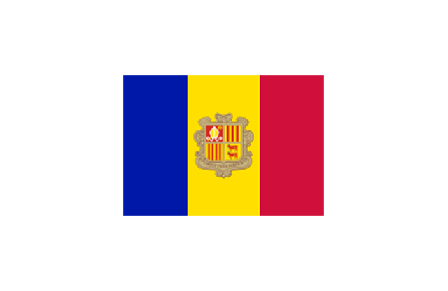
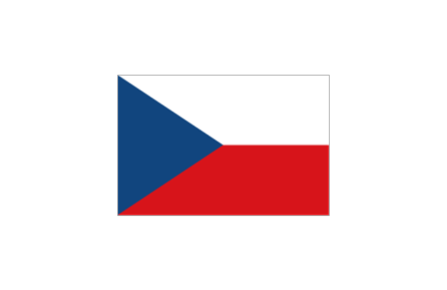
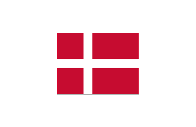
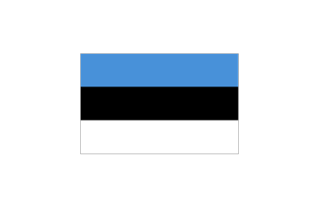
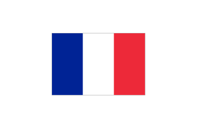
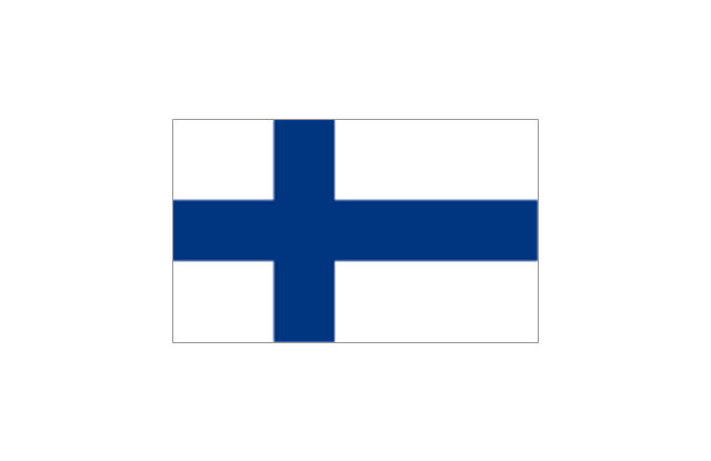
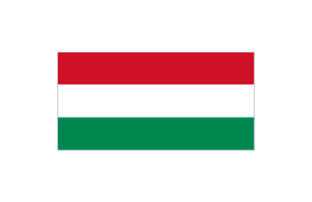
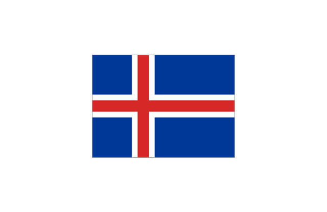
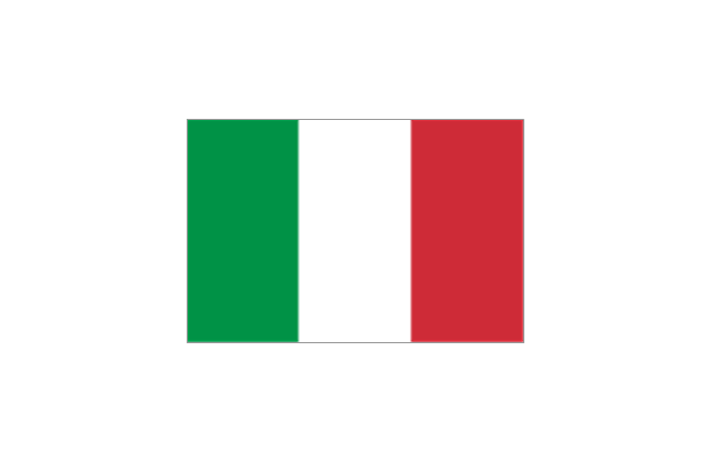
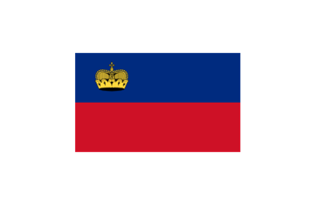
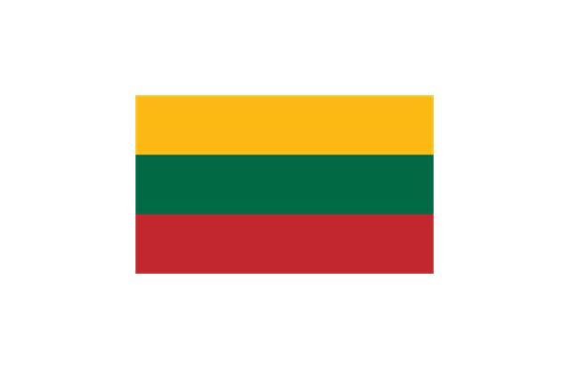
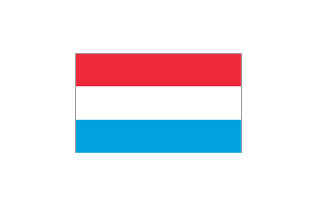
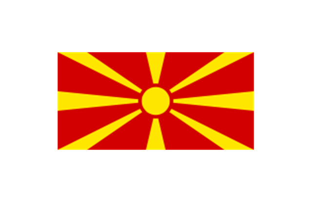
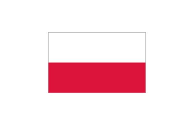
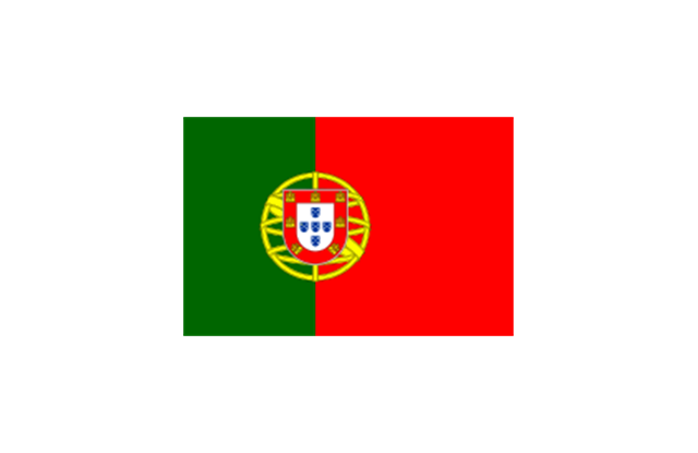
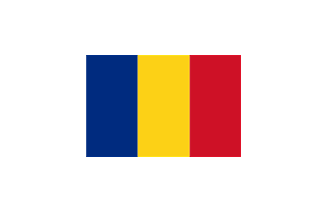
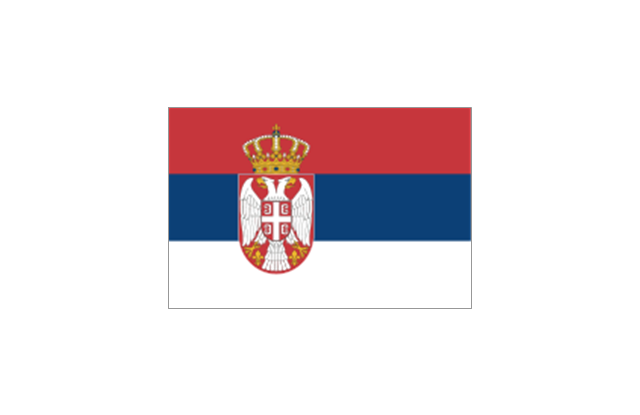
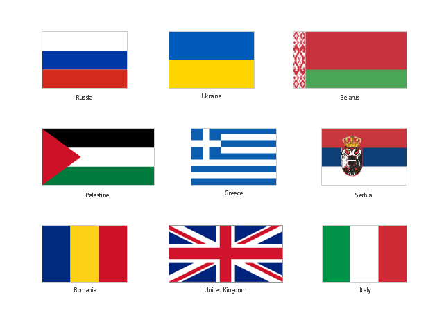
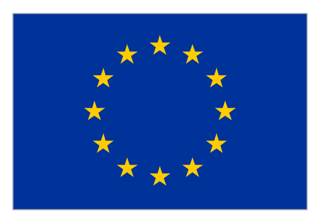
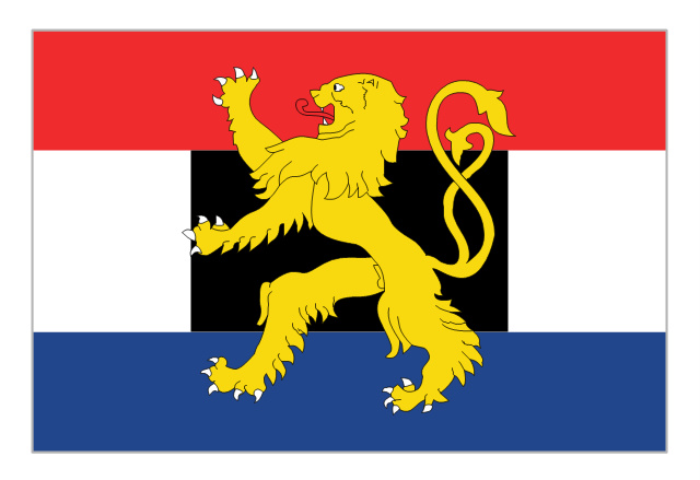
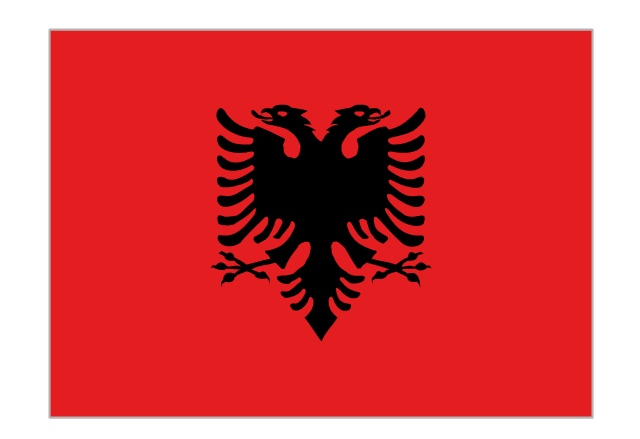
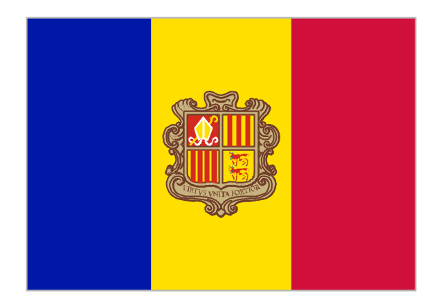
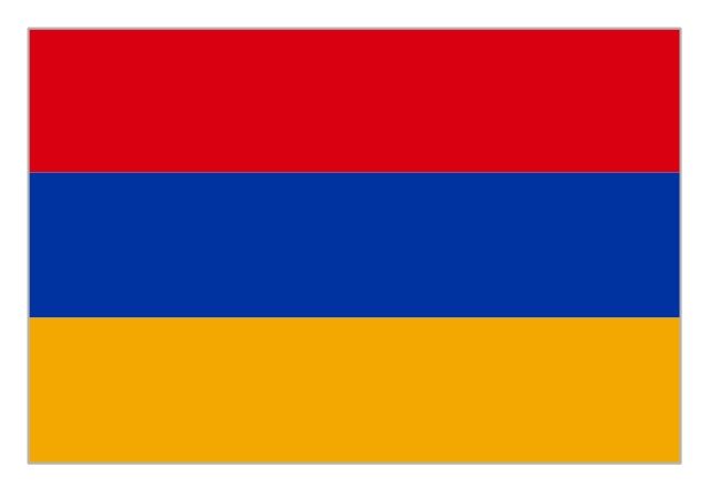
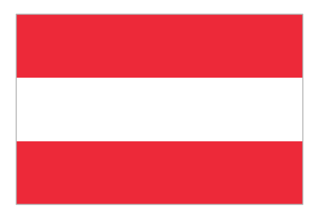
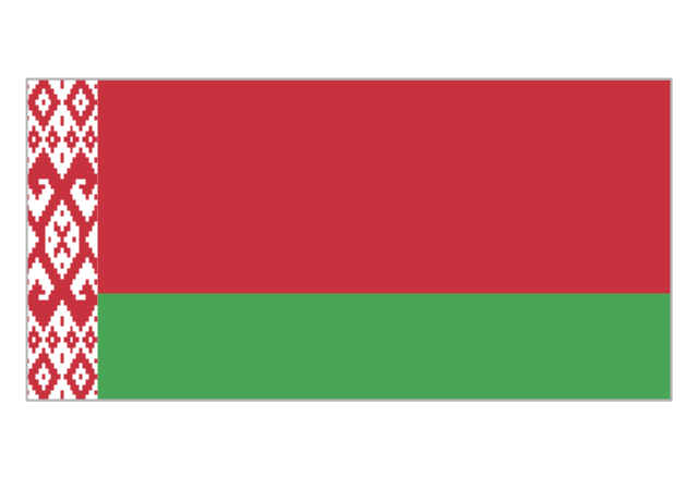
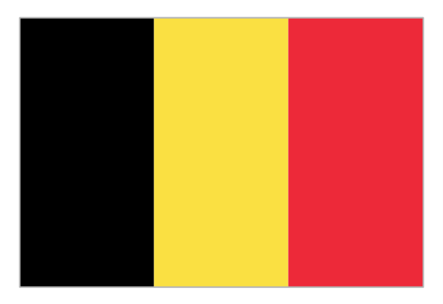
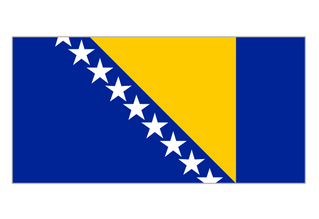
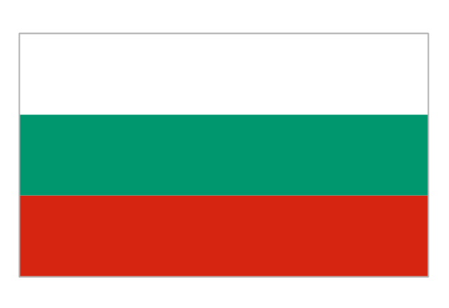
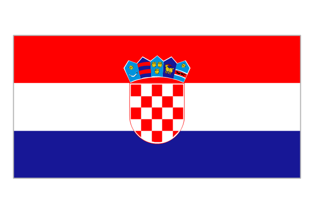
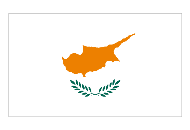
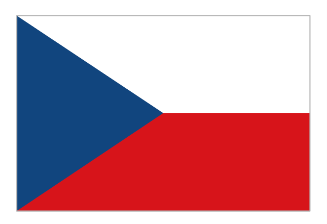
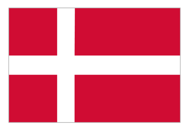
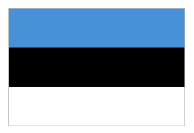
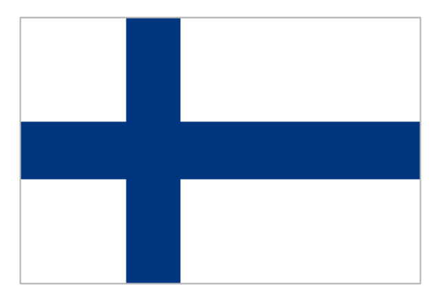
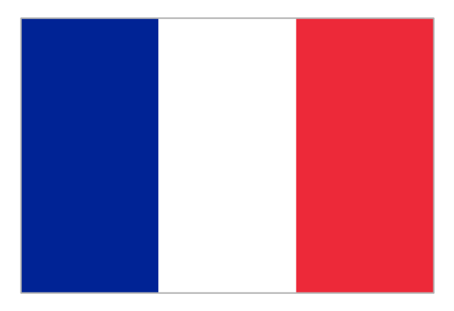
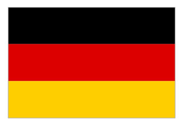
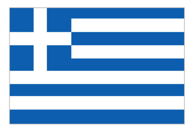
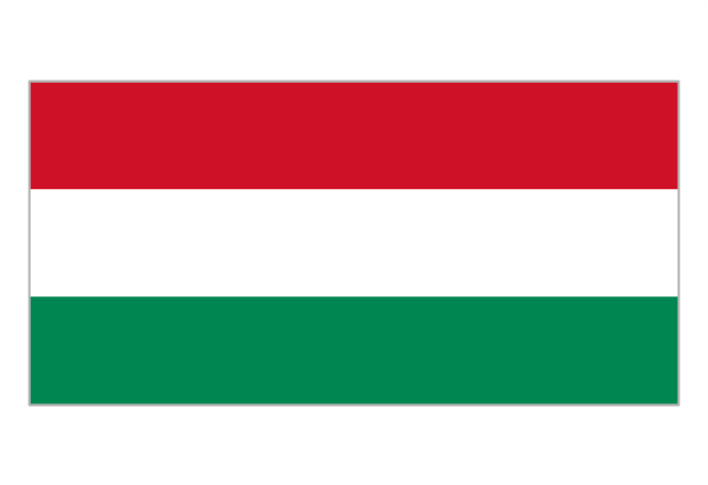
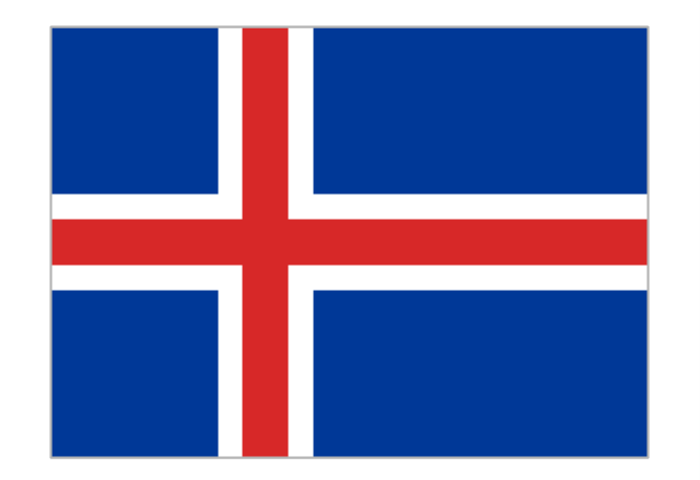
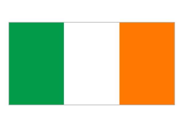
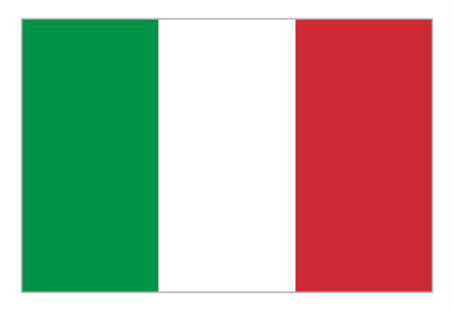
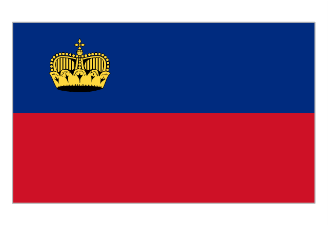
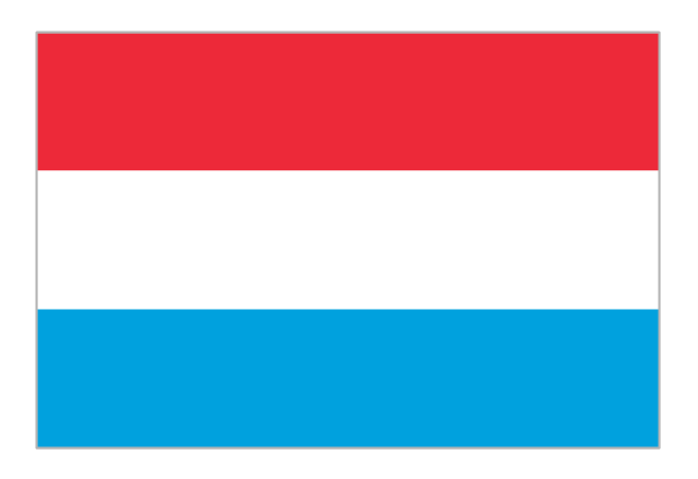
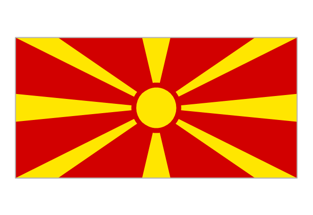
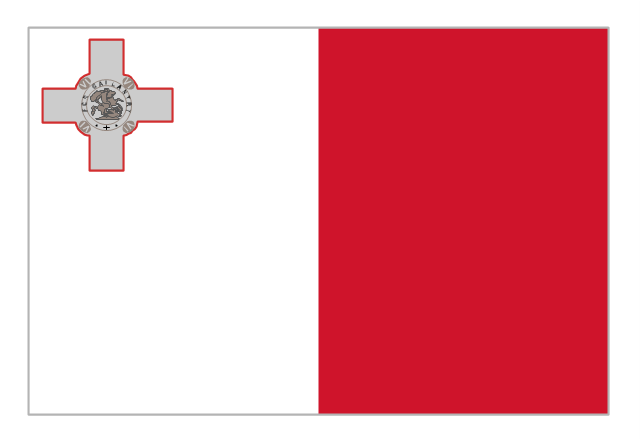
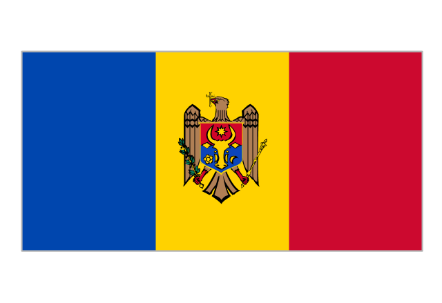
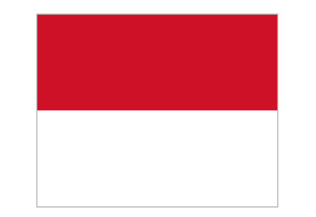
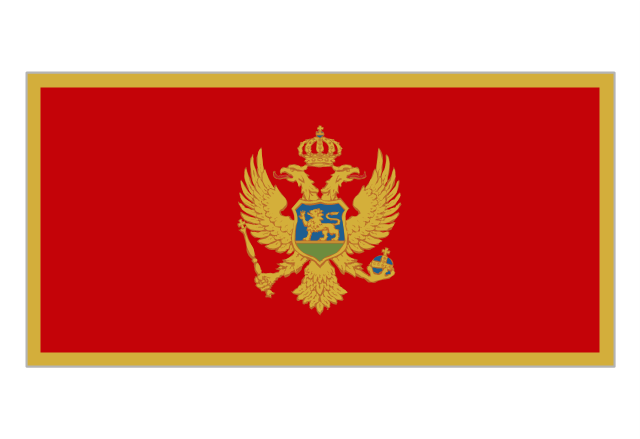
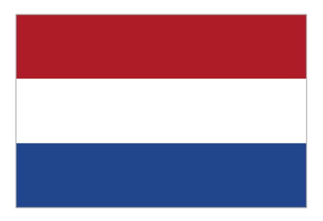
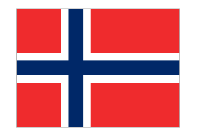
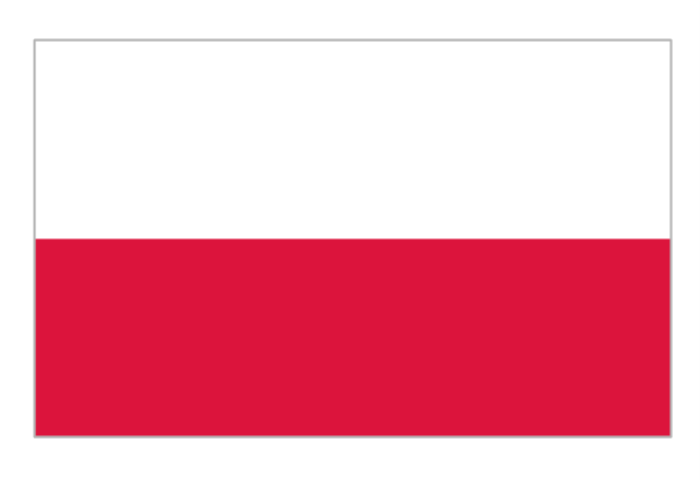
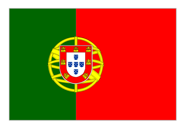
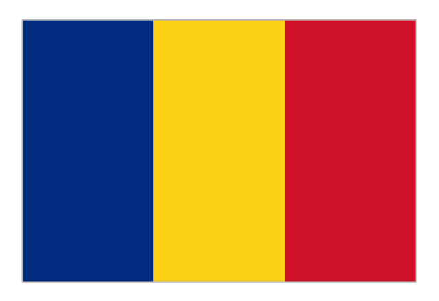
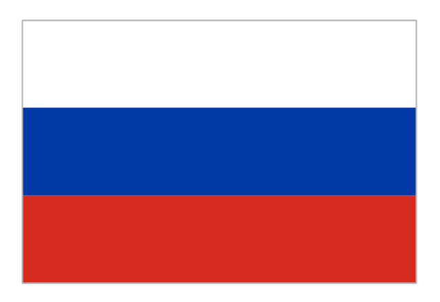
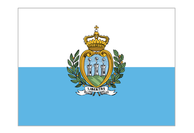
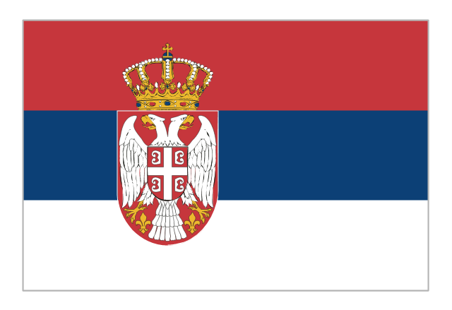
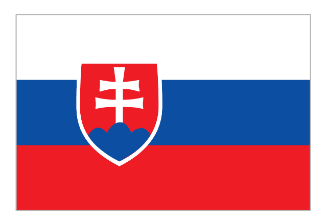
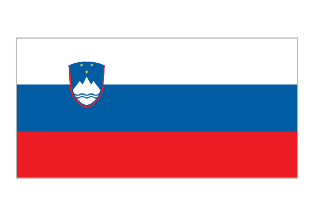
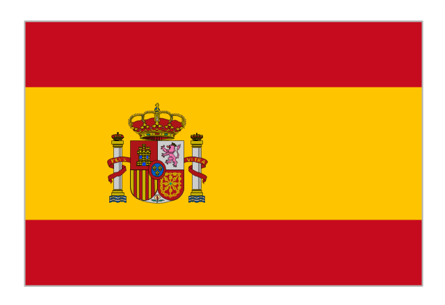
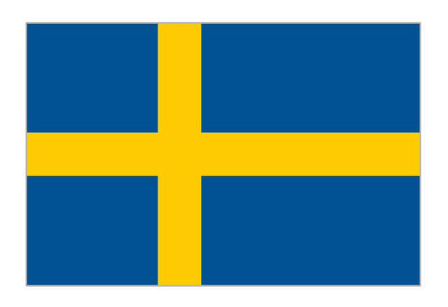
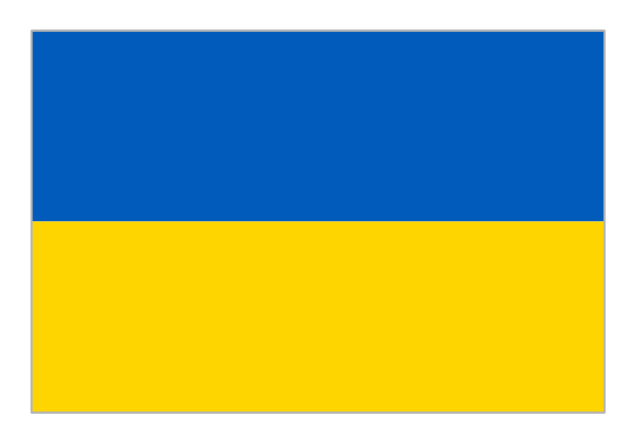
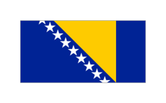
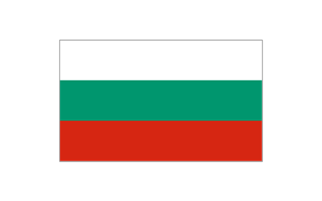
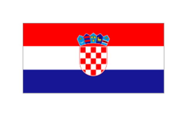
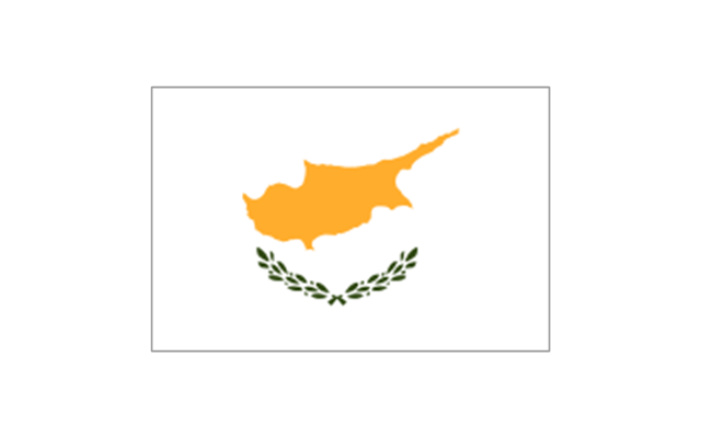
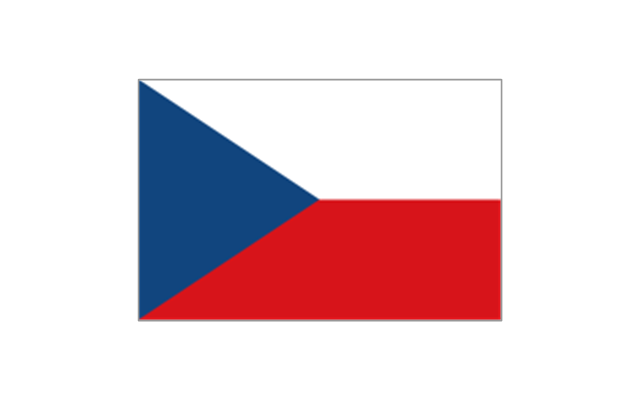
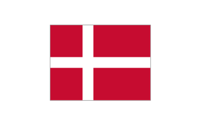
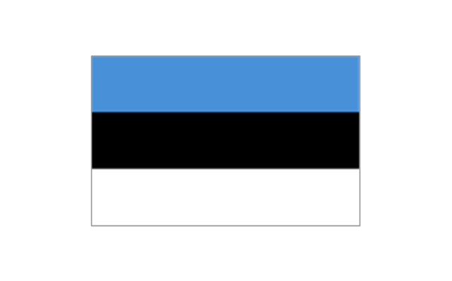
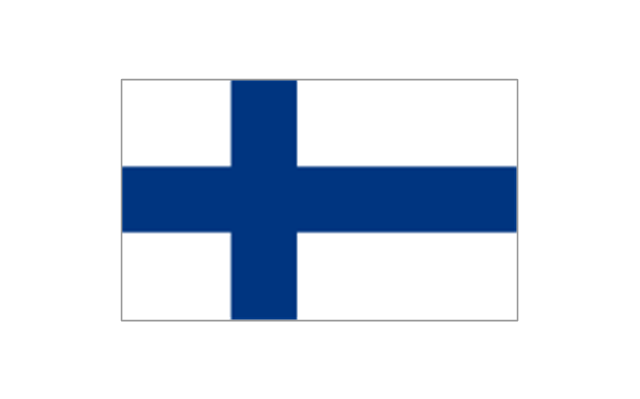
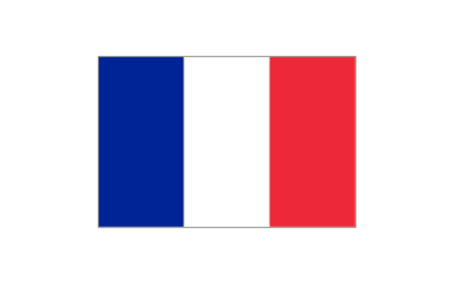
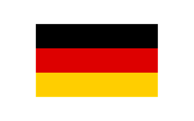
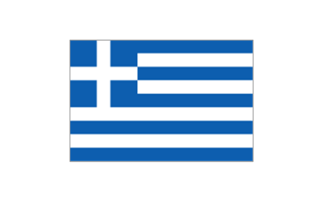
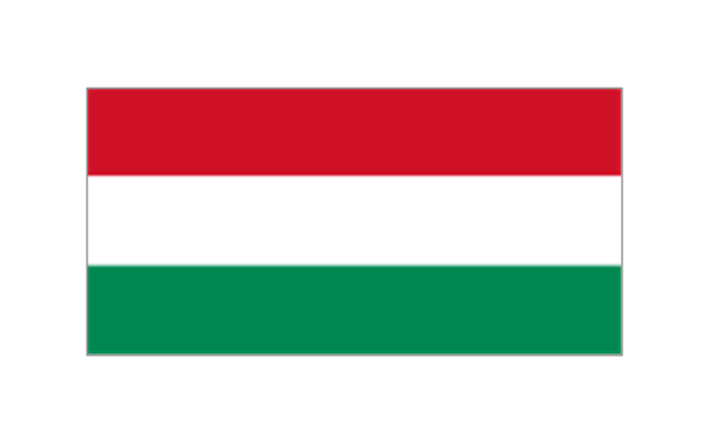
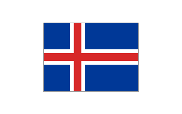
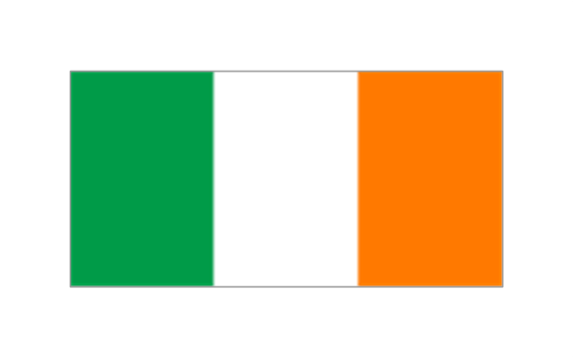
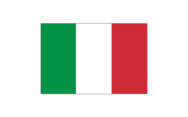
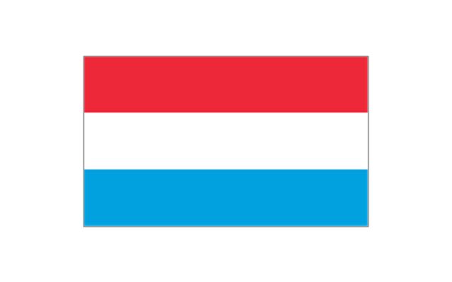
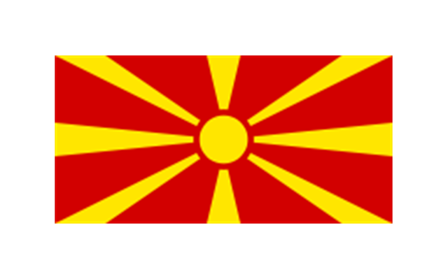
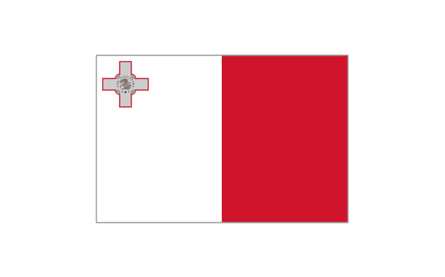
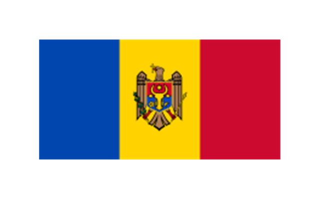
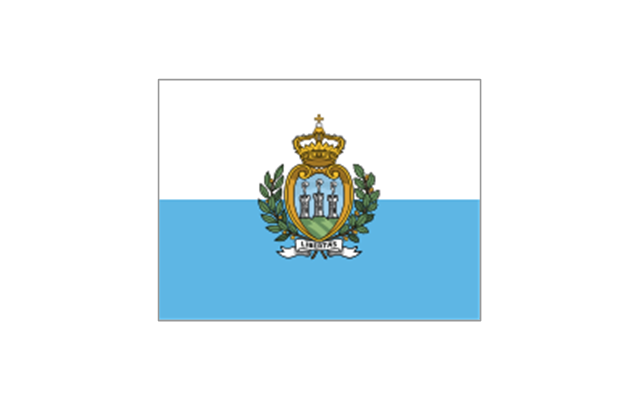
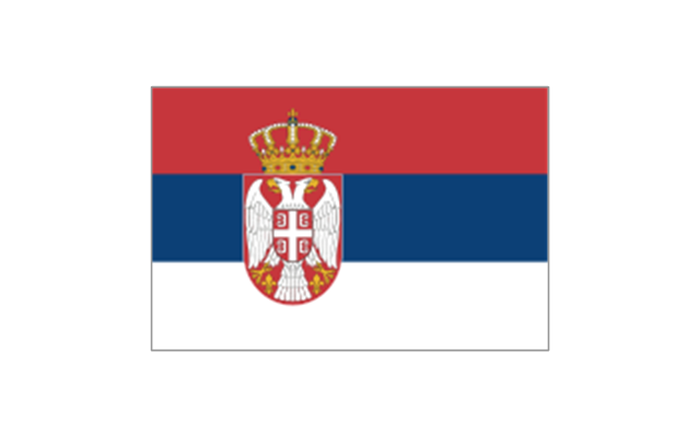
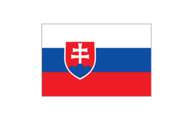
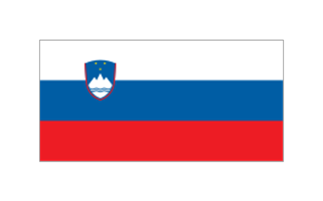
The vector stencils library "European country flags" contains 51 clipart images of Europe state flags. Use the European country flags clip art to illustrate your business documents, presentation slides, web pages, geo maps and infographics. The clip art example "European country flags - Vector stencils library" was created using the ConceptDraw PRO diagramming and vector drawing software extended with the Artwork solution from the Illustration area of ConceptDraw Solution Park.
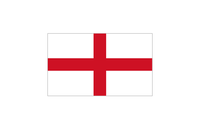
The stencils library "Europe flags" contains 51 clipart images of Europe state flags: supranational and international flags, flags of European countries.
The clip art example "Europe flags - Stencils library" was created using the ConceptDraw PRO diagramming and vector drawing software extended with the Continent Maps solution from the Maps area of ConceptDraw Solution Park.
www.conceptdraw.com/ solution-park/ maps-continent
The clip art example "Europe flags - Stencils library" was created using the ConceptDraw PRO diagramming and vector drawing software extended with the Continent Maps solution from the Maps area of ConceptDraw Solution Park.
www.conceptdraw.com/ solution-park/ maps-continent
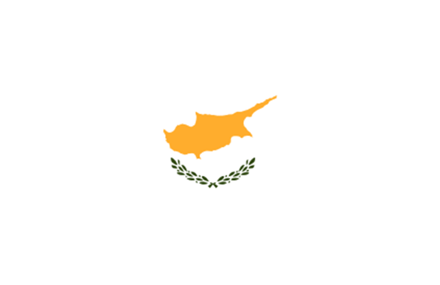
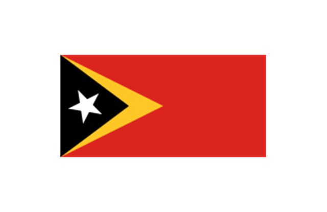
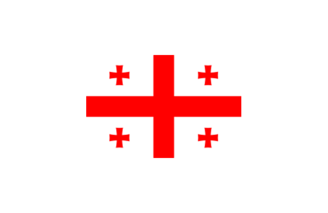
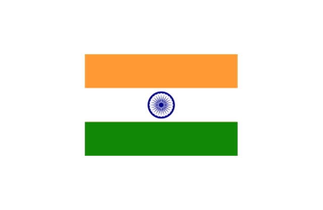
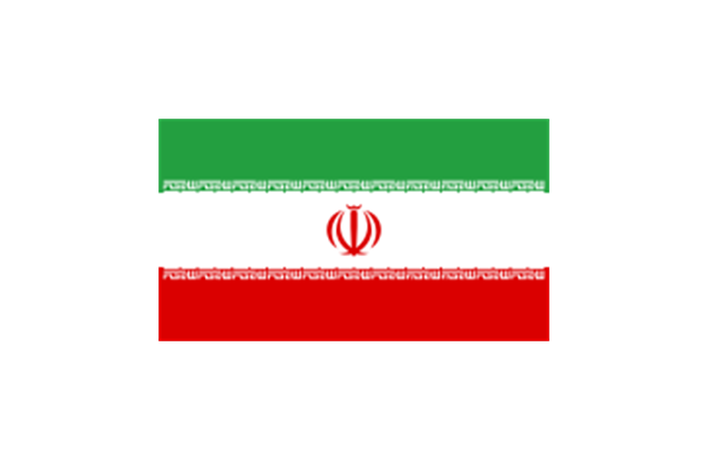
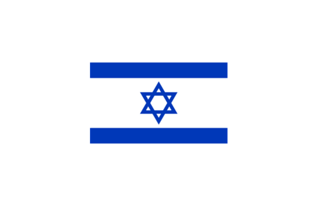
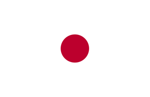
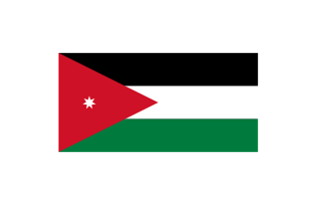
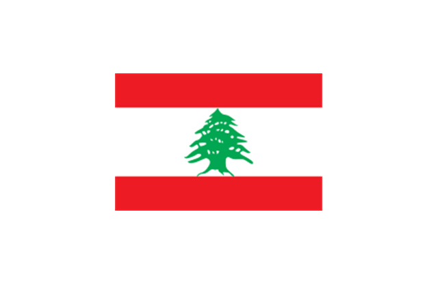
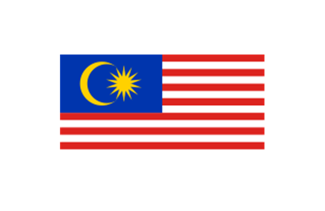
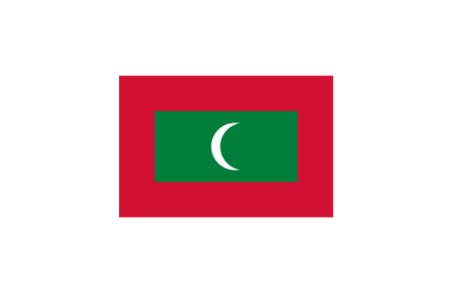
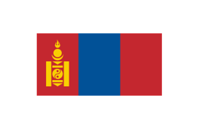
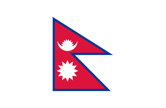
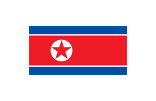
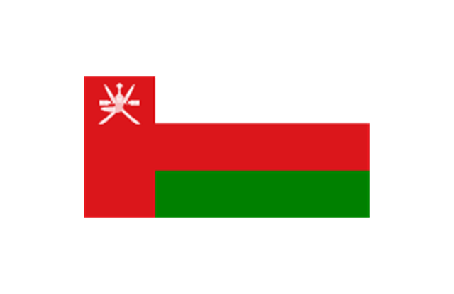
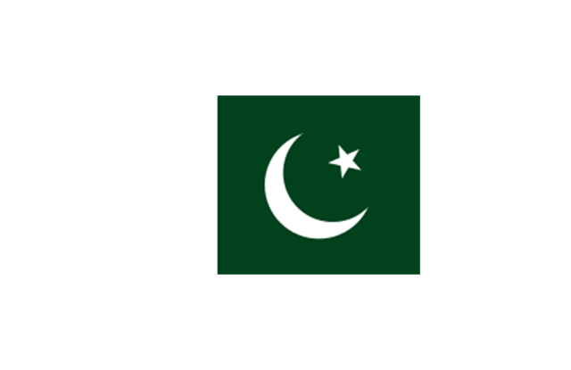
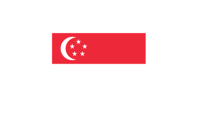
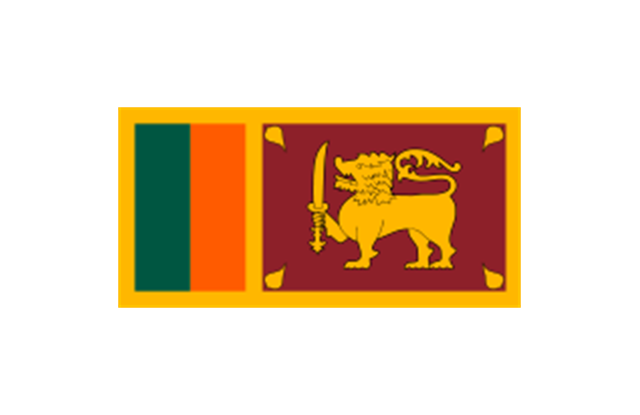
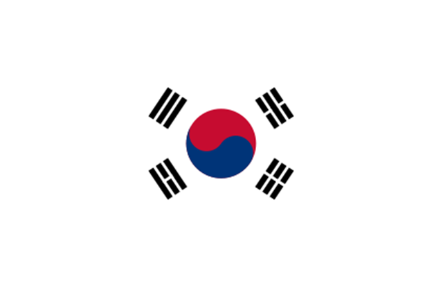
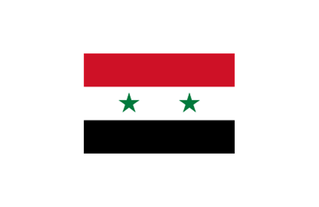
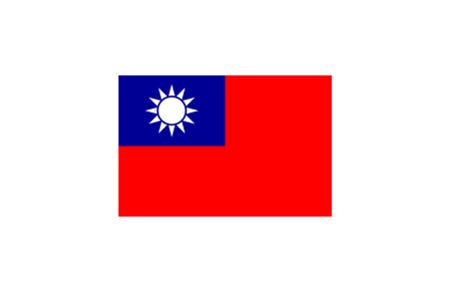
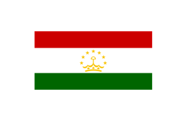
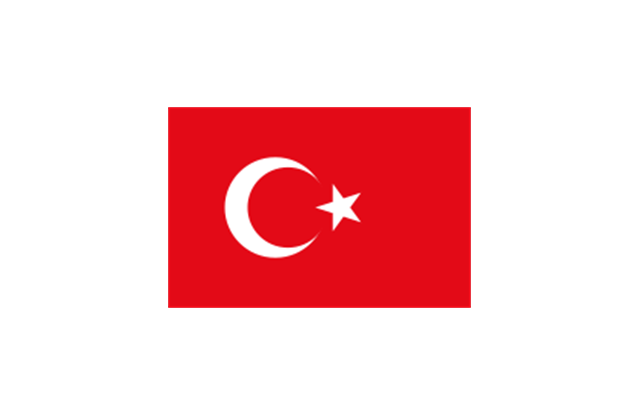
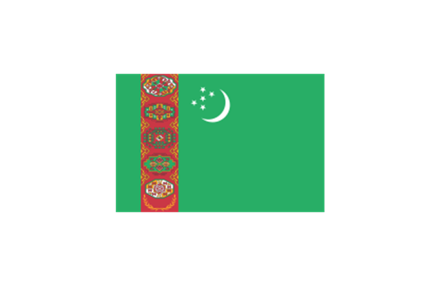
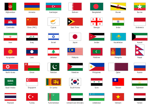
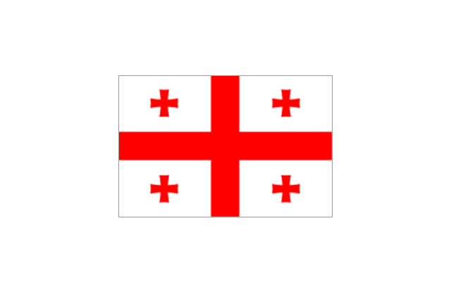
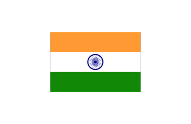
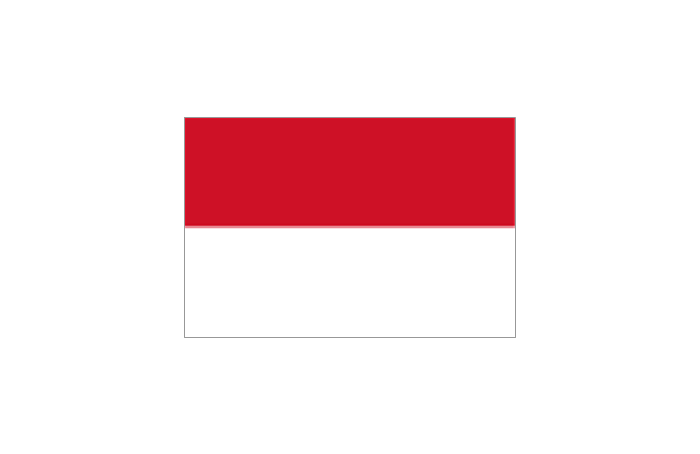
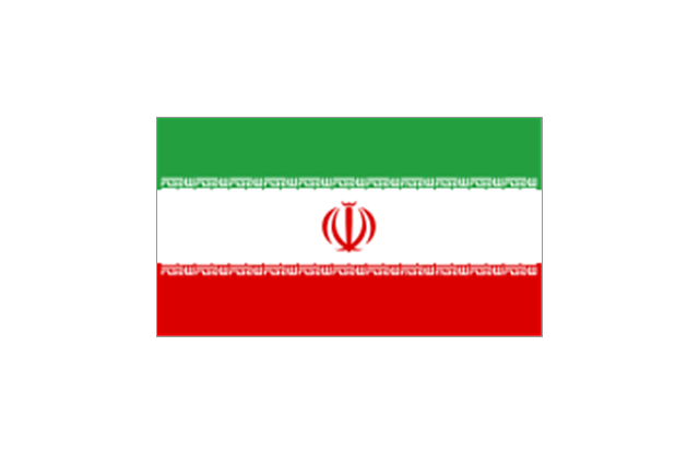
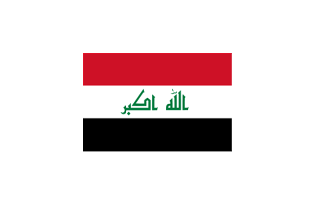
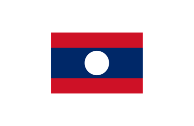
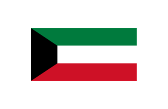
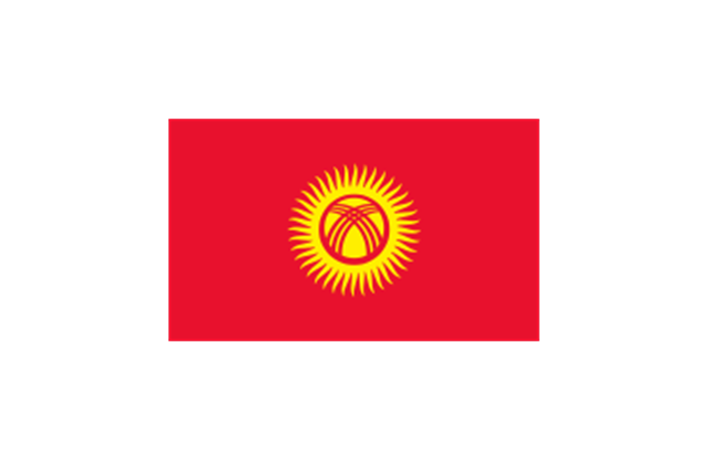
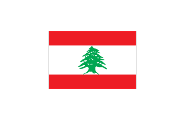
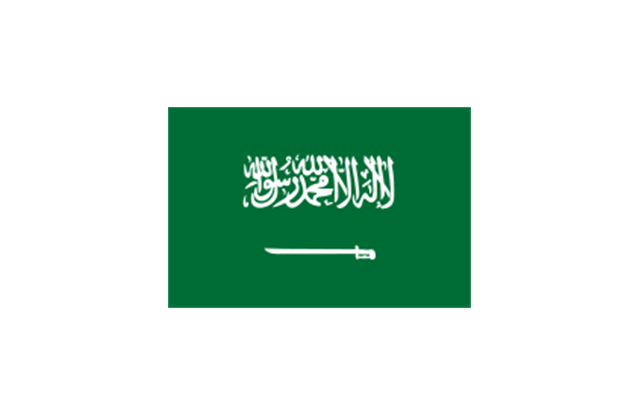
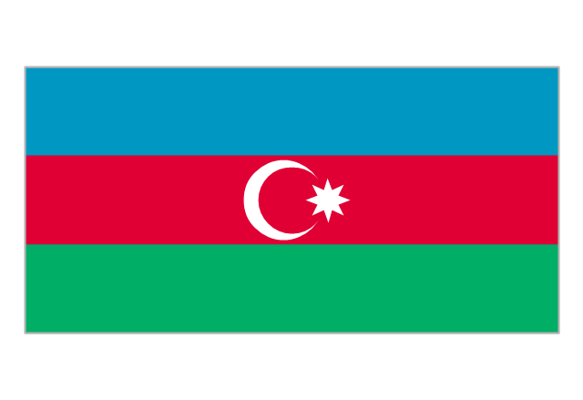
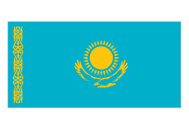
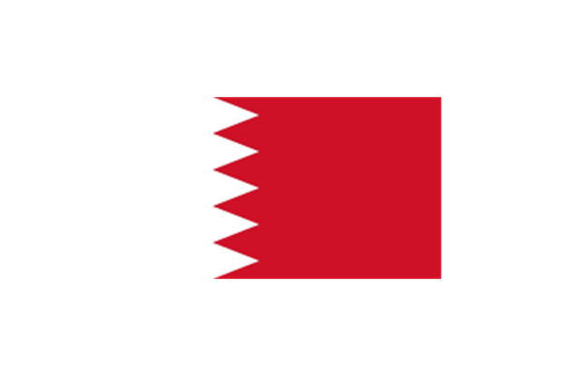
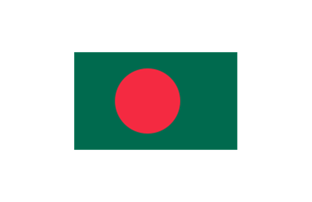
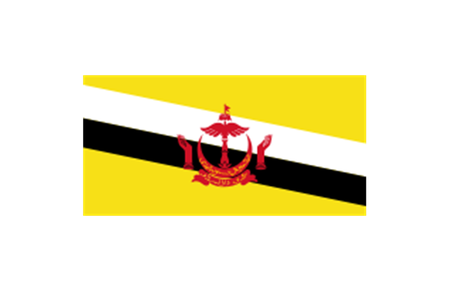
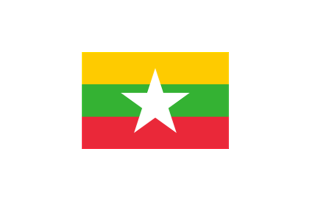
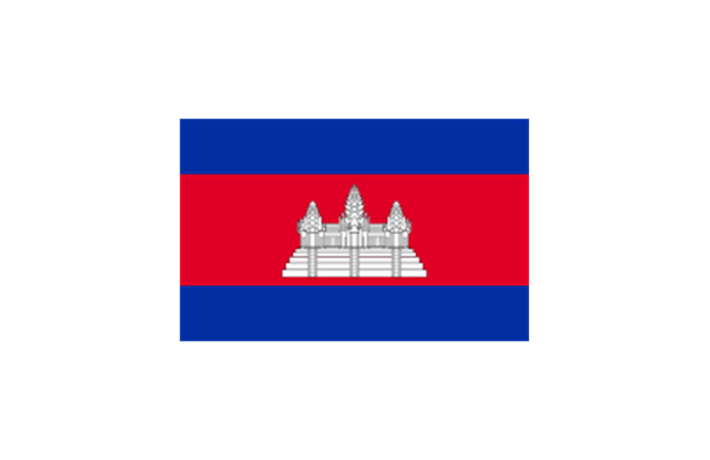
The stencils library "Asia flags" contains 49 clipart images of Asian state flags.
"... international and national flags used in Asia.
International: Flag of the Council of Europe, Flag of the Commonwealth of Independent States, Flag of the Organization of the Islamic Conference, Flag of the Organization of the Petroleum Exporting Countries, Flag of the Cooperation Council for the Arab States of the Gulf.
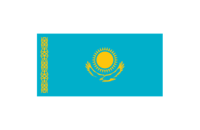
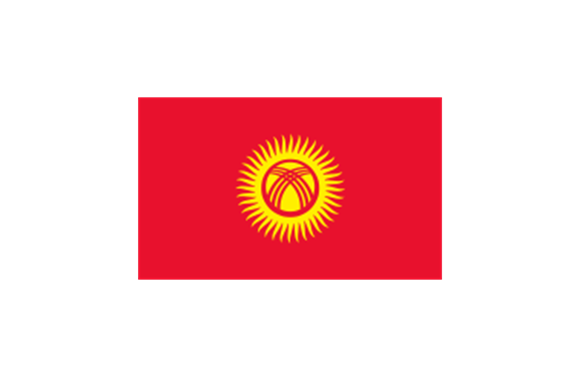
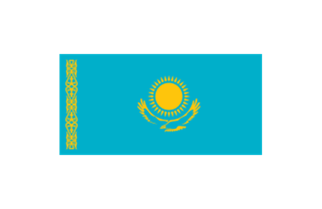
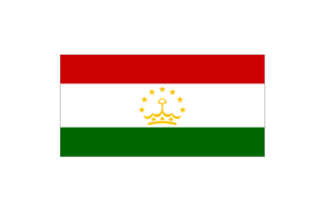
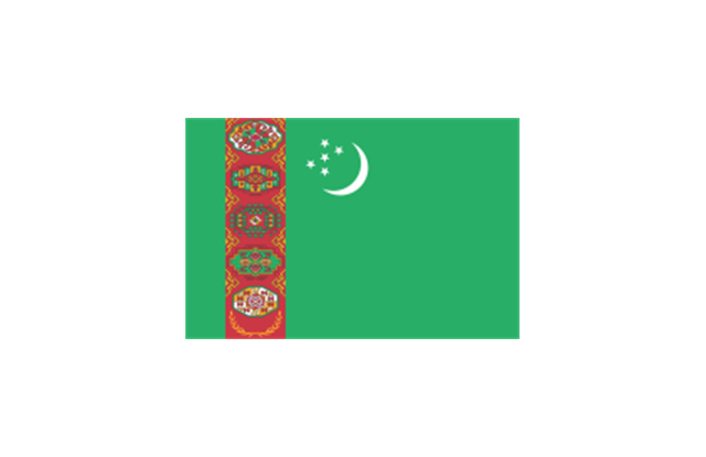
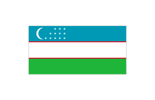
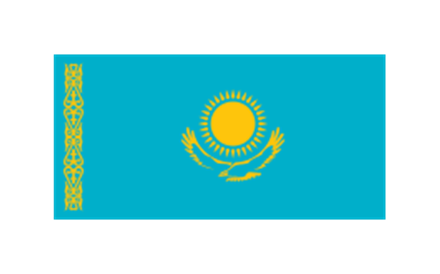
Central Asia: Flag of Kazakhstan, Flag of Kyrgyzstan, Flag of Tajikistan, Flag of Turkmenistan, Flag of Uzbekistan.
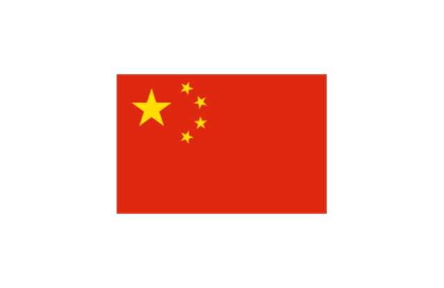
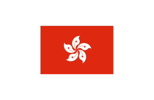
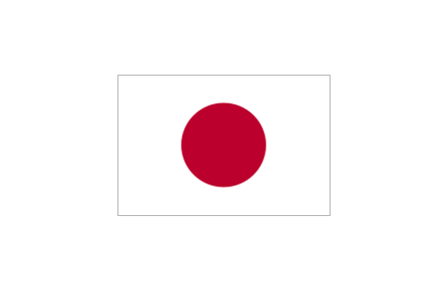
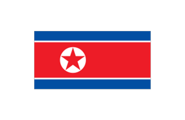
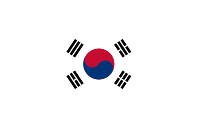
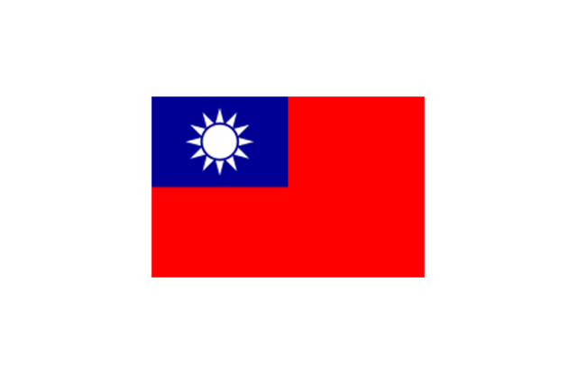
Eastern Asia: Flag of the People's Republic of China, Flag of Hong Kong (China), Flag of Japan, Flag of North Korea, Flag of South Korea, Flag of Macau (China), Flag of Mongolia, Flag of the Republic of China (Taiwan).
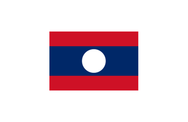
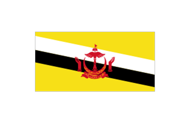
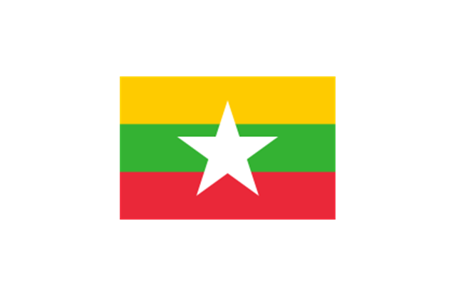
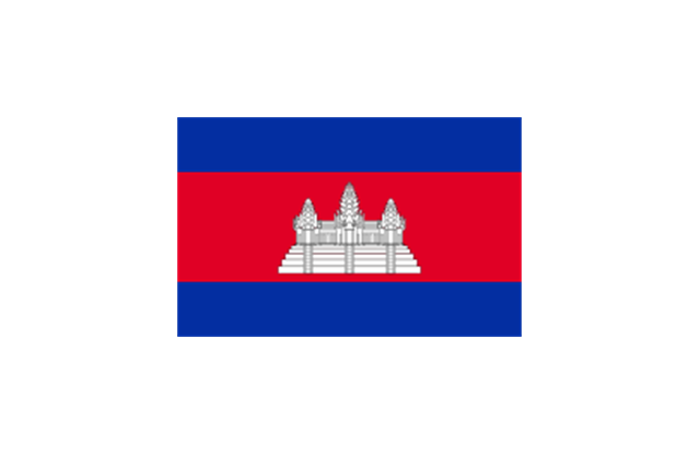
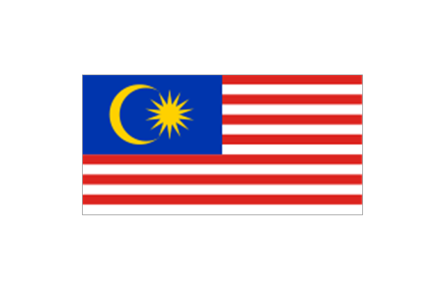
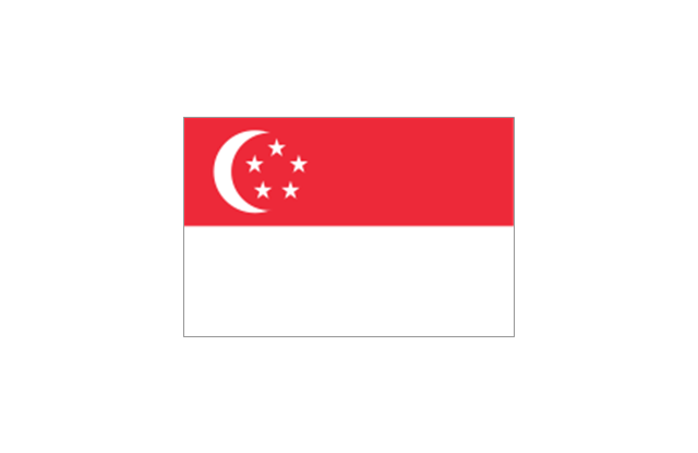
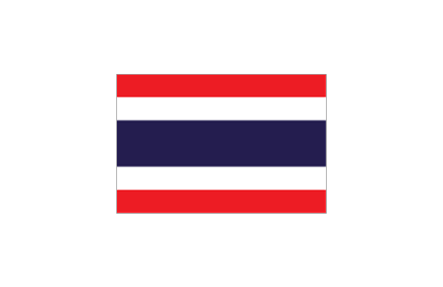
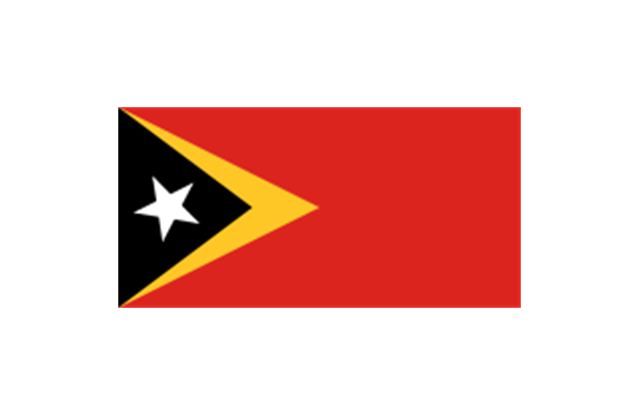
Southeast Asia: Flag of Brunei, Flag of Burma, Flag of Cambodia, Flag of Christmas Island (Australia), Flag of the Cocos (Keeling) Islands (Australia), Flag of East Timor, Flag of Indonesia, Flag of Laos, Flag of Malaysia, Flag of the Philippines, Flag of Singapore, Flag of Thailand, Flag of Vietnam.
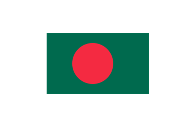
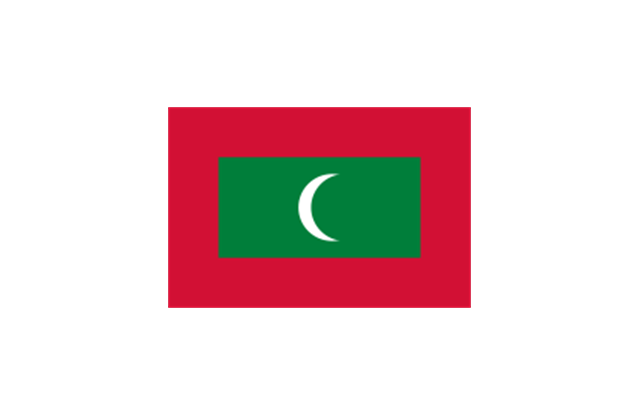
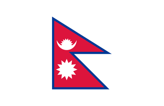
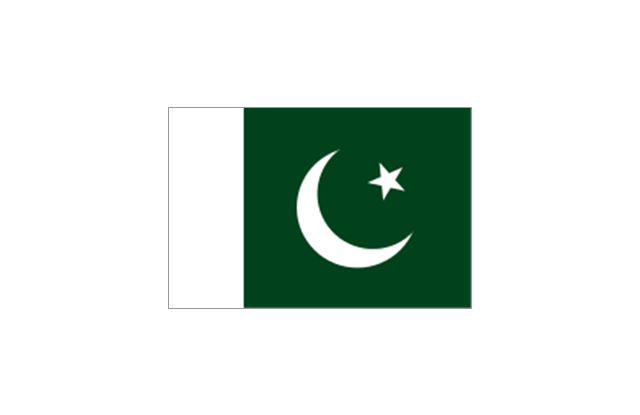
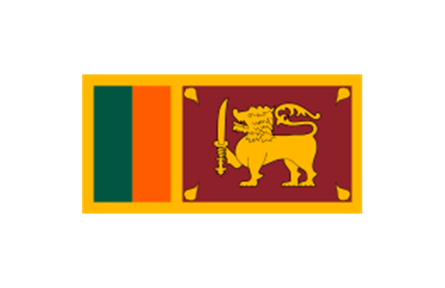
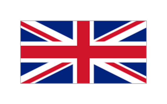
Southern Asia: Flag of Bangladesh, Flag of Bhutan, Flag of the British Indian Ocean Territory (United Kingdom), Flag of India, Flag of Maldives, Flag of Nepal, Flag of Pakistan, Flag of Sri Lanka.
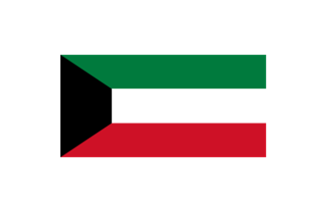
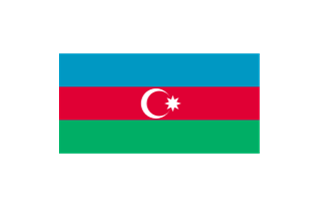
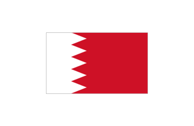
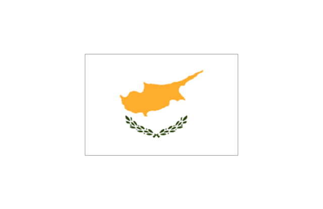
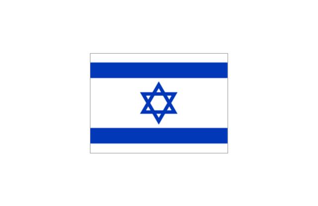
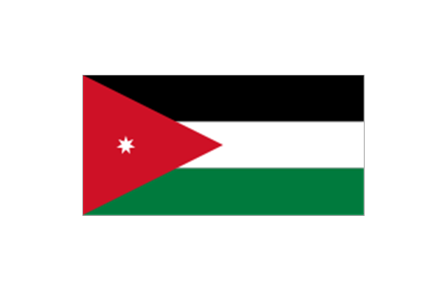
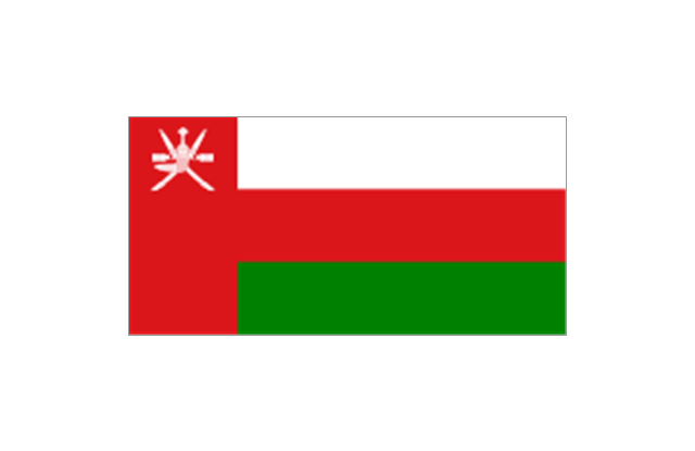
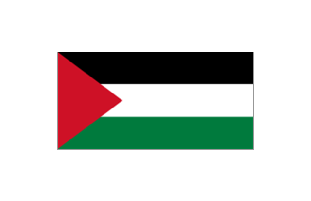
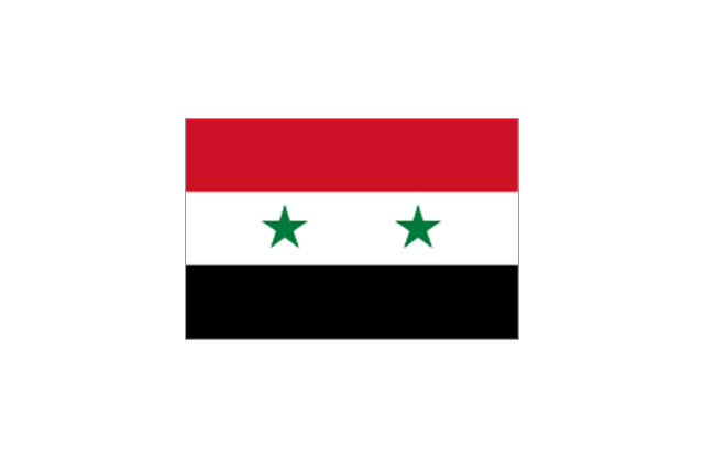
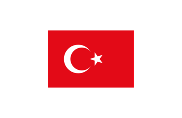
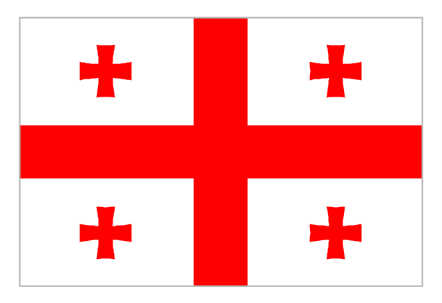
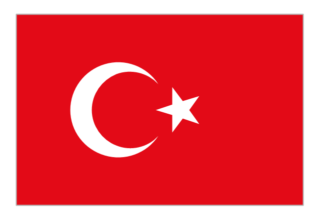
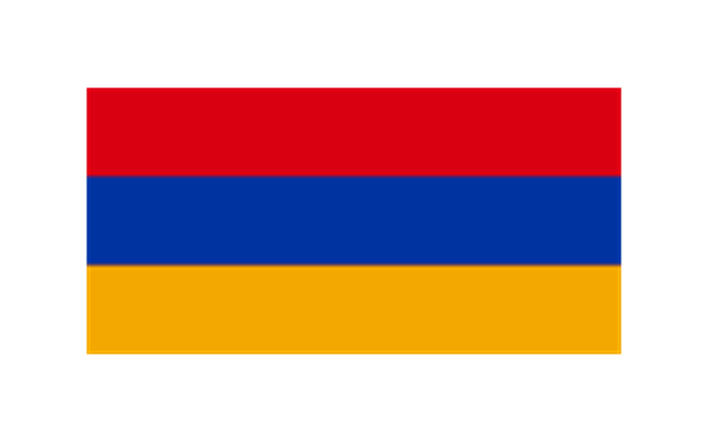
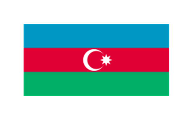
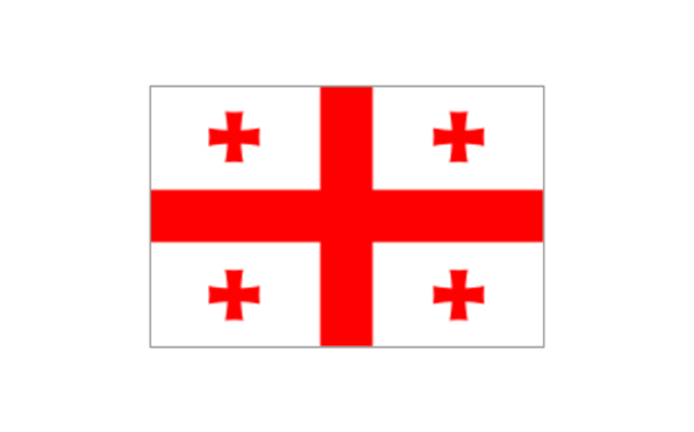
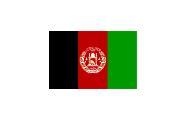
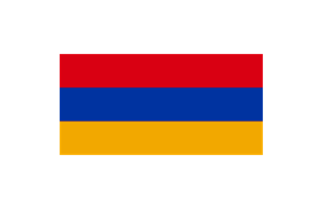
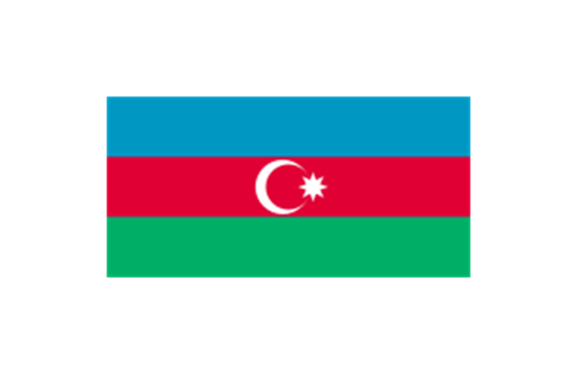
Western Asia: Flag of Abkhazia, Flag of Afghanistan, Flag of Akrotiri and Dhekelia (United Kingdom), Flag of Armenia, Flag of Azerbaijan, Flag of Bahrain, Flag of Cyprus, Flag of Egypt, Flag of Georgia, Flag of Iran, Flag of Iraq, Flag of Israel, Flag of Jordan, Flag of Kuwait, Flag of Lebanon, Flag of Nagorno-Karabakh, Flag of Northern Cyprus, Flag of Oman, Flag of Palestine, Flag of Qatar, Flag of Saudi Arabia, Flag of South Ossetia, Flag of Syria, Flag of Turkey, Flag of the United Arab Emirates, Flag of Yemen.
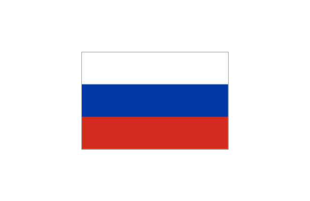
Northern Asia: Flag of Russia." [Flags of Asia. Wikipedia]
The clip art example "Asia flags - Stencils library" was created using the ConceptDraw PRO diagramming and vector drawing software extended with the Continent Maps solution from the Maps area of ConceptDraw Solution Park.
www.conceptdraw.com/ solution-park/ maps-continent
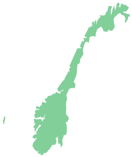
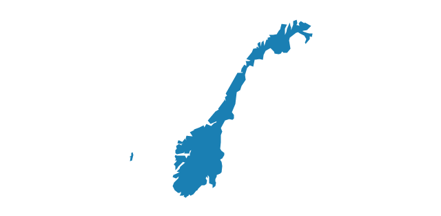
Geo Map - Europe - Norway
The vector stencils library Norway contains contours for ConceptDraw PRO diagramming and vector drawing software. This library is contained in the Continent Maps solution from Maps area of ConceptDraw Solution Park.The vector stencils library "Asia flags" contains 49 clipart images of Asian countries state flags.
National flags of Central Asia countries: Kazakhstan, Kyrgyzstan, Tajikistan, Turkmenistan, Uzbekistan.
National flags of Eastern Asia countries: People's Republic of China, Hong Kong (China), Japan, North Korea, South Korea, Macau (China), Mongolia, Republic of China (Taiwan).
National flags of Southeast Asia countries: Brunei, Burma, Cambodia, Christmas Island (Australia), Cocos (Keeling) Islands (Australia), East Timor, Indonesia, Laos, Malaysia, Philippines, Singapore, Thailand, Vietnam.
National flags of Southern Asia countries: Bangladesh, Bhutan, British Indian Ocean Territory (United Kingdom), India, Maldives, Nepal, Pakistan, Sri Lanka.
National flags of Western Asia countries: Abkhazia, Afghanistan, Akrotiri and Dhekelia (United Kingdom), Armenia, Azerbaijan, Bahrain, Cyprus, Egypt, Georgia, Iran, Iraq, Israel, Jordan, Kuwait, Lebanon, Nagorno-Karabakh, Northern Cyprus, Oman, Palestine, Qatar, Saudi Arabia, South Ossetia, Syria, Turkey, United Arab Emirates, Yemen.
National flags of Northern Asia countries: Russia.
The clip art example "Design elements - Asia flags" was created using the ConceptDraw PRO diagramming and vector drawing software extended with the Continent Maps solution from the Maps area of ConceptDraw Solution Park.
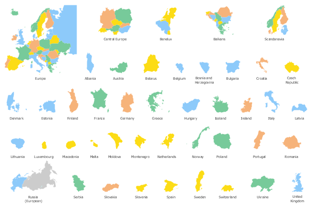
Use the map contours library "Europe" to design thematic maps of European countries using the ConceptDraw PRO diagramming and vector drawing software.
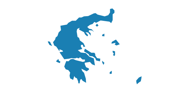
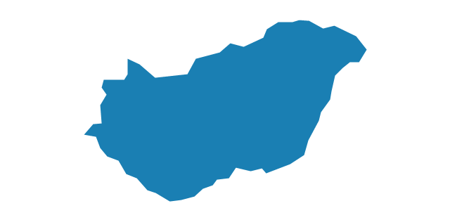
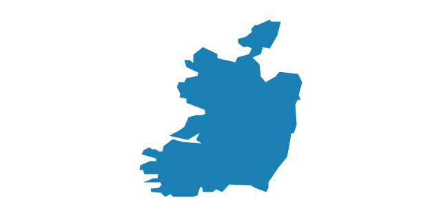
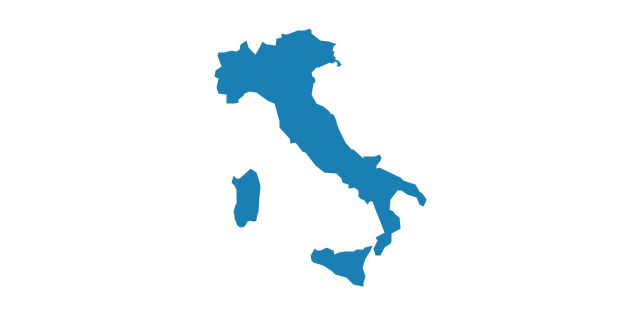
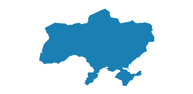
The vector stencils library "Europe" contains 43 European state map contours.
The map contours example "Design elements - Europe" is included in the Continent Maps solution from the Maps area of ConceptDraw Solution Park.
The vector stencils library "Europe" contains 43 European state map contours.
The map contours example "Design elements - Europe" is included in the Continent Maps solution from the Maps area of ConceptDraw Solution Park.
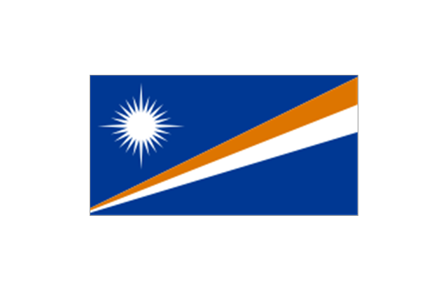
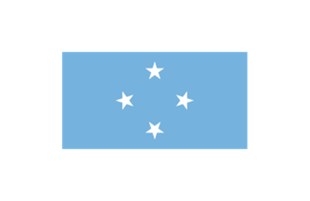
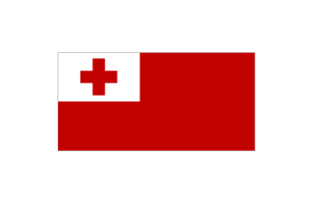
The stencils library "Flags" contains 204 clipart images of state flags.
"There are two separate meanings for the term state flag in vexillology - the flag of the government of a sovereign state, and the flag of an individual subnational state, such as a U.S. state, or a Russian oblast. ...
A state flag is a variant of a national flag (or occasionally a completely different design) specifically designated and restricted by law or custom (theoretically or actually) to use by a country's government or its agencies. For this reason they are sometimes referred to as government flags. In many countries the state flag and the civil flag (as flown by the general public) are identical, but in other countries, notably those in Latin America, central Europe, and Scandinavia, the state flag is a more complex version of the national flag, often featuring the national coat of arms or some other emblem as part of the design. Scandinavian countries also use swallowtailed state flags, to further differentiate them from civil flags.
In addition, some countries have state ensigns, separate flags for use by non-military government ships such as guard vessels. For example, government ships in the United Kingdom fly the blue ensign." [State flag. Wikipedia]
The clip art example "Flags - Stencils library" was created using the ConceptDraw PRO diagramming and vector drawing software extended with the Continent Maps solution from the Maps area of ConceptDraw Solution Park.
www.conceptdraw.com/ solution-park/ maps-continent
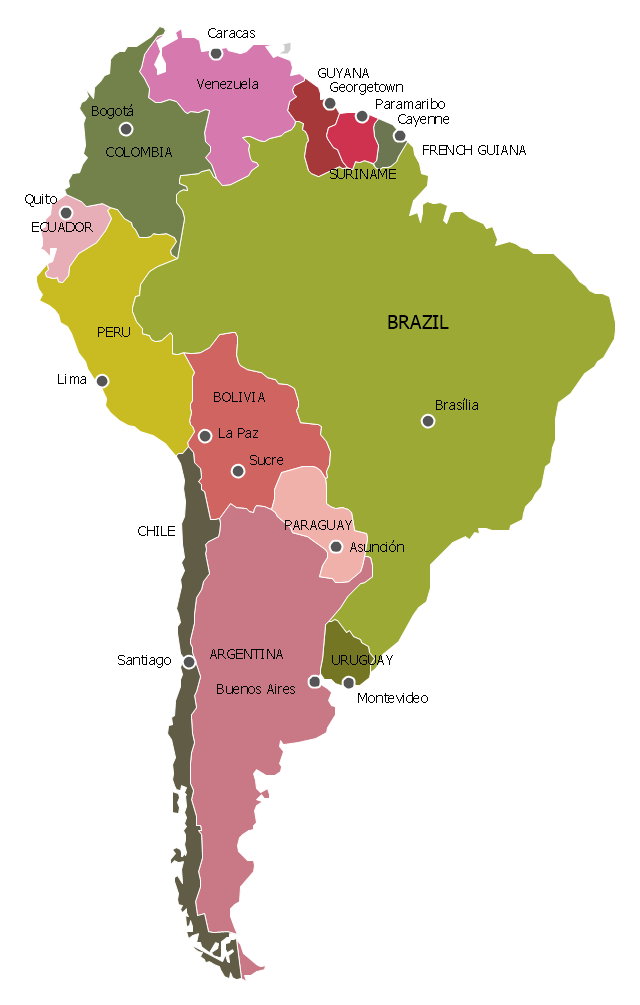
"South America is a continent located in the Western Hemisphere, mostly in the Southern Hemisphere, with a relatively small portion in the Northern Hemisphere. It can also be considered as a subcontinent of the Americas.
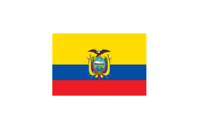
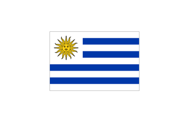
It is bordered on the west by the Pacific Ocean and on the north and east by the Atlantic Ocean; North America and the Caribbean Sea lie to the northwest. It includes twelve sovereign states – Argentina, Bolivia, Brazil, Chile, Colombia, Ecuador, Guyana, Paraguay, Peru, Suriname, Uruguay, and Venezuela – and two non-sovereign areas – French Guiana, an overseas department of France, and the Falkland Islands, a British Overseas Territory (though disputed by Argentina). In addition to this, the ABC islands of the Netherlands may also be considered part of South America. ... Countries and territories: Argentina, Bolivia, Brazil, Chile, Colombia, Ecuador, Falkland Islands (United Kingdom), French Guiana (France), Guyana, Paraguay, Peru, South Georgia and the South Sandwich Islands (United Kingdom), Suriname, Uruguay, Venezuela." [South America. Wikipedia]
This political map sample was redesigned from the Wikimedia Commons file: Map of South America.svg. [commons.wikimedia.org/ wiki/ File:Map_ of_ South_ America.svg]
This file is licensed under the Creative Commons Attribution-Share Alike 3.0 Unported license. [creativecommons.org/ licenses/ by-sa/ 3.0/ deed.en]
The example "South America - Political map" was created using the ConceptDraw PRO diagramming and vector drawing software extended with the Continent Maps solution from the Maps area of ConceptDraw Solution Park.
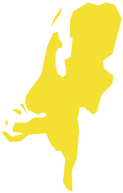
Geo Map - Europe - Netherlands
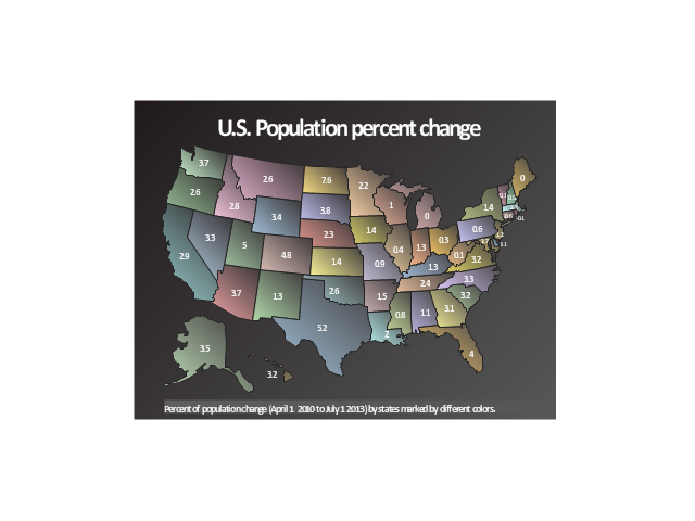
The vector stencils library Netherlands contains contours for ConceptDraw PRO diagramming and vector drawing software. This library is contained in the Continent Maps solution from Maps area of ConceptDraw Solution Park.This sample was drawn on the base of the spatial dashboard "U.S. Population percent change" from the United States Census Bureau website.
[quickfacts.census.gov/ qfd/ index.html]
"As of March 20, 2014, the United States has a total population of 317 million, making it the third-most populous country in the world. It is very urbanized, with 82% residing in cities and suburbs as of 2011 (the worldwide urban rate is 52%). California and Texas are the most populous states, as the mean center of U.S. population has consistently shifted westward and southward. New York City is the most populous city in the United States.
The total fertility rate in the United States estimated for 2012 is 1.88 children per woman, which is below the replacement fertility rate of approximately 2.1. Compared to other Western countries, in 2011, U.S. fertility rate was lower than that of France (2.02) and the United Kingdom (1.97). However, U.S. population growth is among the highest in industrialized countries, because the differences in fertility rates are less than the differences in immigration levels, which are higher in the U.S. The United States Census Bureau shows population increase of 0.75% for the twelve-month period ending in July 2012. Though high by industrialized country standards, this is below the world average annual rate of 1.1%.
There were over 158.6 million females in the United States in 2009. The number of males was 151.4 million. At age 85 and older, there were more than twice as many women as men. People under 20 years of age made up over a quarter of the U.S. population (27.3%), and people age 65 and over made up one-eighth (12.8%) in 2009. The national median age was 36.8 years." [Demographics of the United States. Wikipedia]
The geospatial dashboard example "U.S. Population, percent change, 2010 to 2013" was created using the ConceptDraw PRO diagramming and vector drawing software extended with the Spatial Dashboard solution from the area "What is a Dashboard" of ConceptDraw Solution Park.
www.conceptdraw.com/ solution-park/ spatial-dashboard
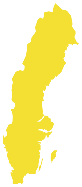
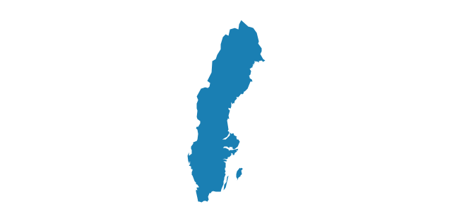
Geo Map - Europe - Sweden
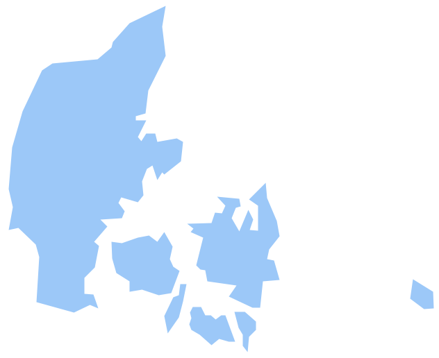
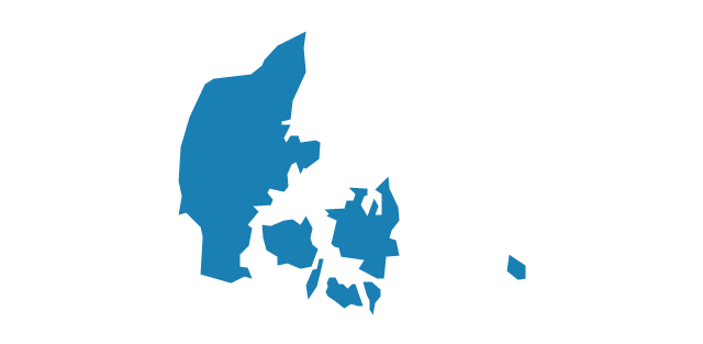
The vector stencils library Sweden contains contours for ConceptDraw PRO diagramming and vector drawing software. This library is contained in the Continent Maps solution from Maps area of ConceptDraw Solution Park.Geo Map - Europe - Denmark
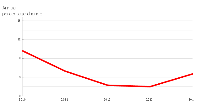
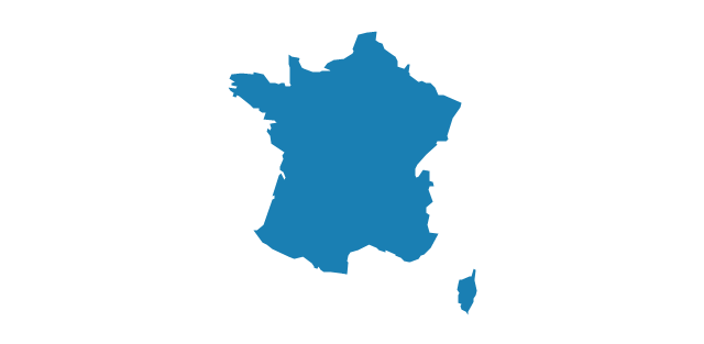
The vector stencils library Denmark contains contours for ConceptDraw PRO diagramming and vector drawing software. This library is contained in the Continent Maps solution from Maps area of ConceptDraw Solution Park.The line graph example "France exports of goods and services" depicts data from the European Economic Forecast (EUROPEAN ECONOMY 1|2013, Economic and Financial Affairs Winter 2013, European Commission)
[ec.europa.eu/ economy_ finance/ publications/ european_ economy/ 2013/ pdf/ ee1_ en.pdf].
"Exports in France decreased to 36526 EUR Million in October of 2013 from 36637 EUR Million in September of 2013. Exports in France is reported by the Ministère de l'Économie et des Finances. Exports in France averaged 17102.29 EUR Million from 1970 until 2013, reaching an all time high of 37964 EUR Million in August of 2012 and a record low of 1165.60 EUR Million in May of 1970. France is one of the largest exporters of luxury goods and agricultural products in the world. France main exports are: aircrafts (10.1 percent of total exports), food (9.7 percent), chemicals (9.5 percent), industrial machinery (8.3 percent), iron and steel (7.9 percent), electronics (6.7 percent), motor vehicles (6.3 percent) and pharmaceuticals (6.1 percent). Trade outflows to Europe account for 70 percent of total exports. Main export partners are: Germany (16.6 percent of total exports), Italy (8.2 percent), Spain (7.3 percent), Belgium (7.2 percent), the United Kingdom (6.6 percent), the United States (5.6 percent), Netherlands and China. This page contains - France Exports - actual values, historical data, forecast, chart, statistics, economic calendar and news." [tradingeconomics.com/ france/ exports]
The line graph example "France exports of goods and services" was created using ConceptDraw PRO diagramming and vector drawing software extended with Line Graphs solution from Graphs and Charts area of ConceptDraw Solution Park.
www.conceptdraw.com/ solution-park/ charts-line-graphs
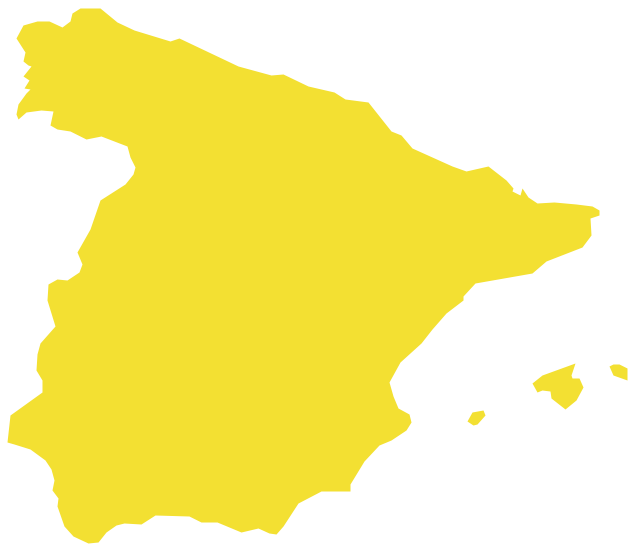
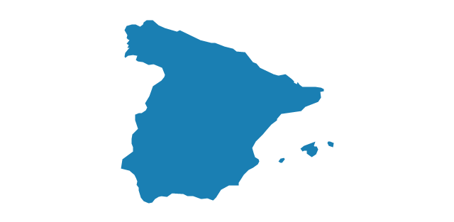
Geo Map - Europe - Spain
The vector stencils library Spain contains contours for ConceptDraw PRO diagramming and vector drawing software. This library is contained in the Continent Maps solution from Maps area of ConceptDraw Solution Park.- Geo Map - Europe - United Kingdom - Conceptdraw.com
- Political map of Europe | Geo Map - Europe - United Kingdom | Map ...
- Geo Map - Europe - United Kingdom | Geo Map ... - Conceptdraw.com
- Geo Map - America - United States | Geo Map - Europe - United ...
- Geo Map - Europe - Ireland | Geo Map - Europe - United Kingdom ...
- Europe map template
- Geo Map - Europe - Conceptdraw.com
- Political map of Europe
- Political map of Europe | Tools to Create Your Own Infographics ...
- Design elements - Europe | Spatial infographics Design Elements ...
- Political map of Europe | Europe - Thematic map template | Geo Map ...
- North and Central America flags - Stencils library | Geo Map - South ...
- Design elements - State flags | Who in the world eats chocolate ...
- North and Central America flags - Stencils library | Flags - Stencils ...
- Geo Map - Europe
- North and Central America flags - Stencils library | Geo Map ...
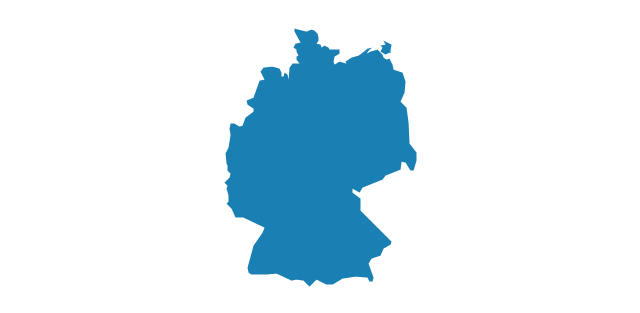
- Geo Map - Africa - Ethiopia | Geo Map - Europe - Germany | Geo ...
- Design elements - State flags | Africa flags - Stencils library | South ...
- Political map of Central America | North and Central America flags ...
- Geo Map - Europe - Poland
-north-and-central-america-flags---stencils-library.png--diagram-flowchart-example.png)
-north-and-central-america-flags---stencils-library.png--diagram-flowchart-example.png)
-north-and-central-america-flags---stencils-library.png--diagram-flowchart-example.png)
-north-and-central-america-flags---stencils-library.png--diagram-flowchart-example.png)
-north-and-central-america-flags---stencils-library.png--diagram-flowchart-example.png)
-north-and-central-america-flags---stencils-library.png--diagram-flowchart-example.png)
-north-and-central-america-flags---stencils-library.png--diagram-flowchart-example.png)
-north-and-central-america-flags---stencils-library.png--diagram-flowchart-example.png)
-north-and-central-america-flags---stencils-library.png--diagram-flowchart-example.png)

-africa-flags---stencils-library.png--diagram-flowchart-example.png)
-africa-flags---stencils-library.png--diagram-flowchart-example.png)

-africa-flags---stencils-library.png--diagram-flowchart-example.png)
-africa-flags---stencils-library.png--diagram-flowchart-example.png)
-africa-flags---stencils-library.png--diagram-flowchart-example.png)
-africa-flags---stencils-library.png--diagram-flowchart-example.png)
-africa-flags---stencils-library.png--diagram-flowchart-example.png)




















-asia-flags---stencils-library.png--diagram-flowchart-example.png)
