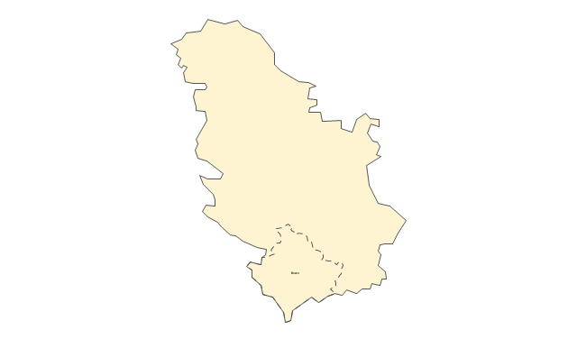
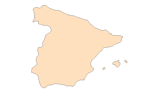
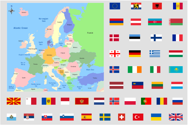
"Alphabetical list of subregions in the United Nations geoscheme for Europe.
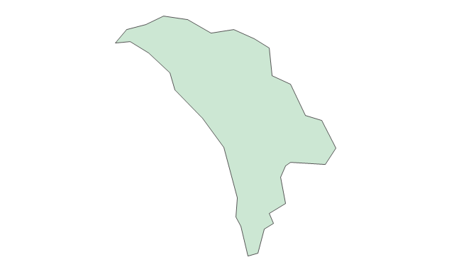
Eastern Europe: Belarus, Bulgaria, Czech Republic, Hungary, Moldova, Poland, Romania, Russia, Slovakia, Ukraine.
Northern Europe: Åland Islands, Denmark, Estonia, Faroe Islands, Finland, Guernsey, Iceland, Ireland, Isle of Man, Jersey, Latvia, Lithuania, Norway, Svalbard and Jan Mayen, Sweden, United Kingdom.
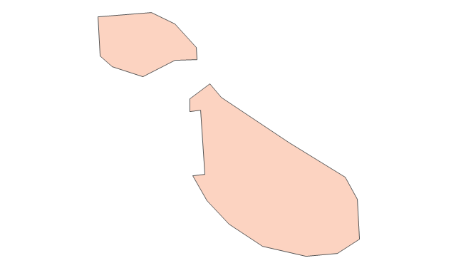
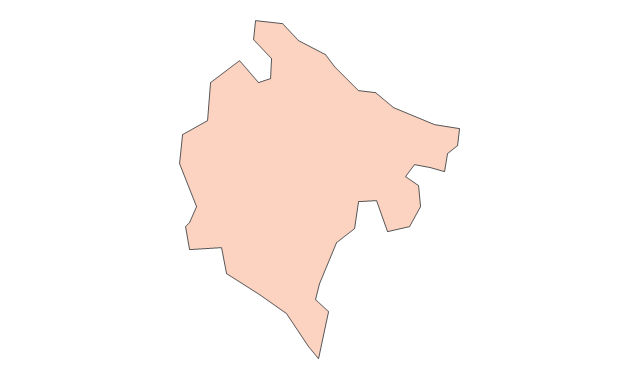
Southern Europe: Albania, Andorra, Bosnia and Herzegovina, Croatia, Gibraltar, Greece, Italy, Malta, Montenegro, Portugal, Macedonia, San Marino, Serbia, Slovenia, Spain, Vatican City.
Western Europe: Austria, Belgium, France, Germany, Liechtenstein, Luxembourg, Monaco, Netherlands, Switzerland." [United Nations geoscheme for Europe. Wikipedia]
The example "Political map of Europe" illustrated with European state flags was created using the ConceptDraw PRO diagramming and vector drawing software extended with the Continent Maps solution from the Maps area of ConceptDraw Solution Park.
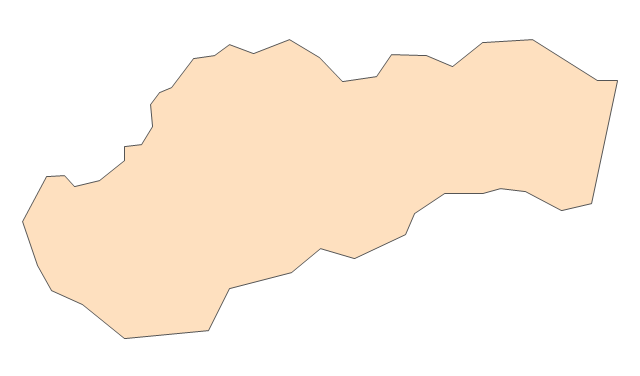
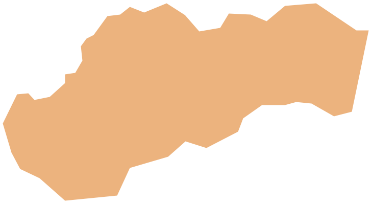
Geo Map - Europe - Slovakia
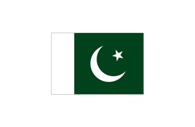
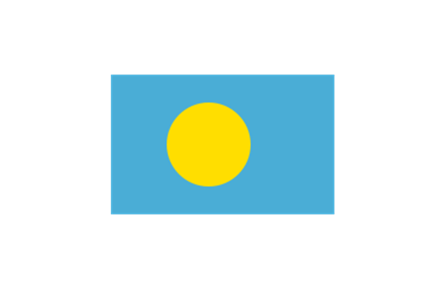
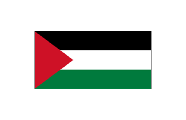
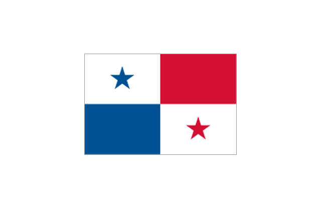
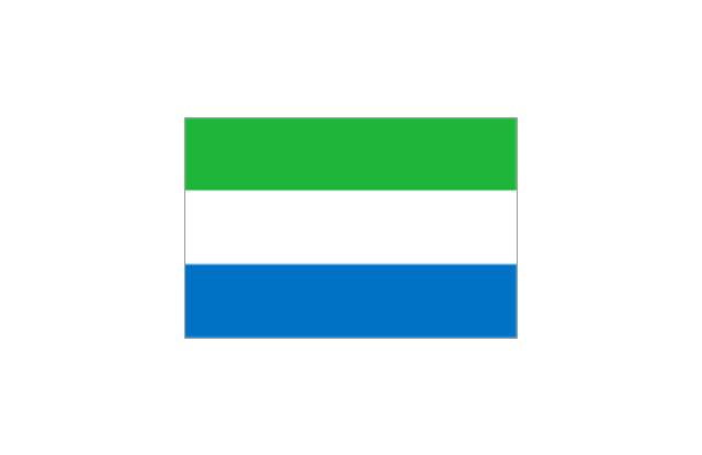
The vector stencils library Slovakia contains contours for ConceptDraw DIAGRAM diagramming and vector drawing software. This library is contained in the Continent Maps solution from Maps area of ConceptDraw Solution Park.The stencils library "Flags" contains 204 clipart images of state flags.
"There are two separate meanings for the term state flag in vexillology - the flag of the government of a sovereign state, and the flag of an individual subnational state, such as a U.S. state, or a Russian oblast. ...
A state flag is a variant of a national flag (or occasionally a completely different design) specifically designated and restricted by law or custom (theoretically or actually) to use by a country's government or its agencies. For this reason they are sometimes referred to as government flags. In many countries the state flag and the civil flag (as flown by the general public) are identical, but in other countries, notably those in Latin America, central Europe, and Scandinavia, the state flag is a more complex version of the national flag, often featuring the national coat of arms or some other emblem as part of the design. Scandinavian countries also use swallowtailed state flags, to further differentiate them from civil flags.
In addition, some countries have state ensigns, separate flags for use by non-military government ships such as guard vessels. For example, government ships in the United Kingdom fly the blue ensign." [State flag. Wikipedia]
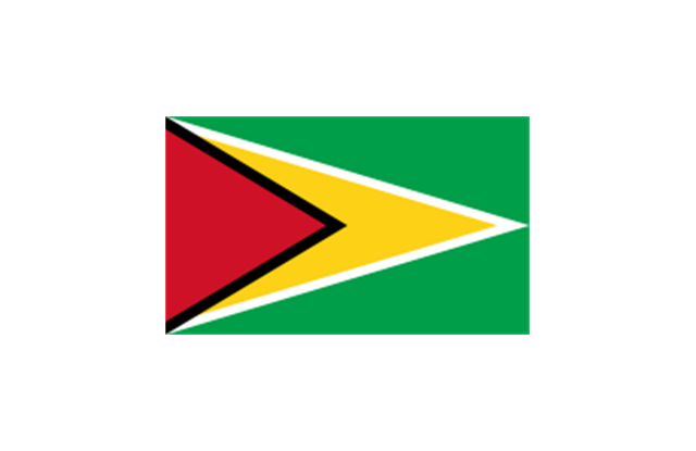
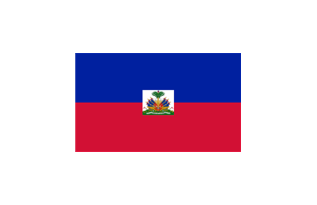
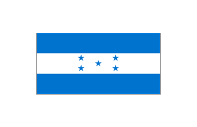
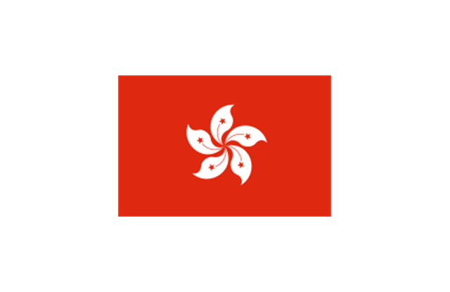
The clip art example "Flags - Stencils library" was created using the ConceptDraw PRO diagramming and vector drawing software extended with the Continent Maps solution from the Maps area of ConceptDraw Solution Park.
www.conceptdraw.com/ solution-park/ maps-continent
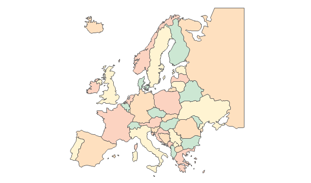
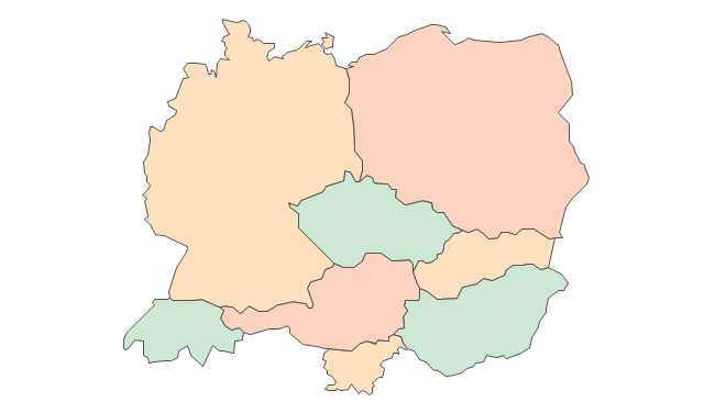
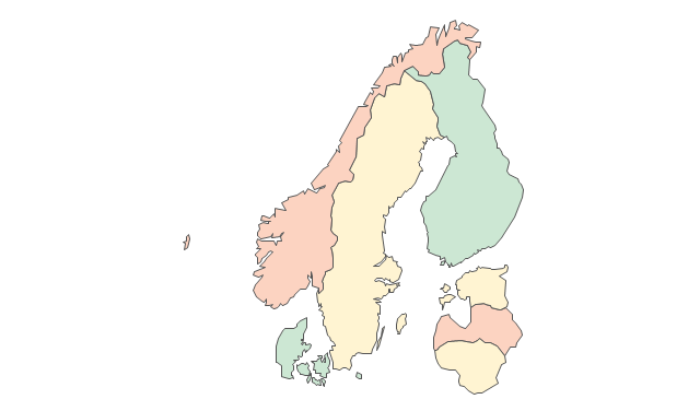
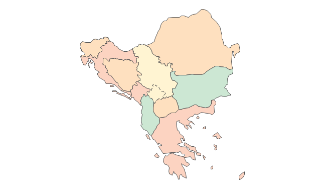
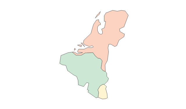
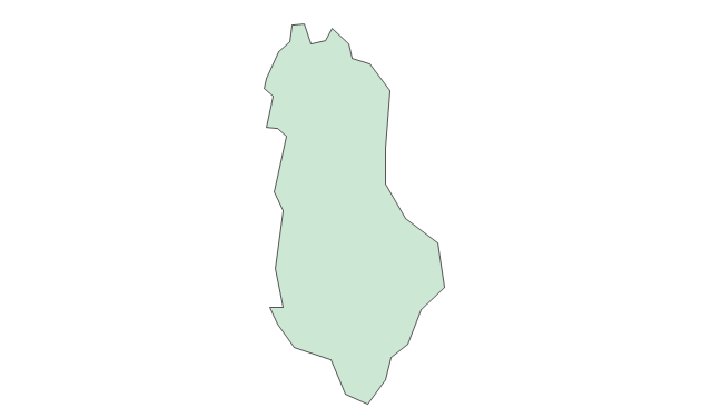
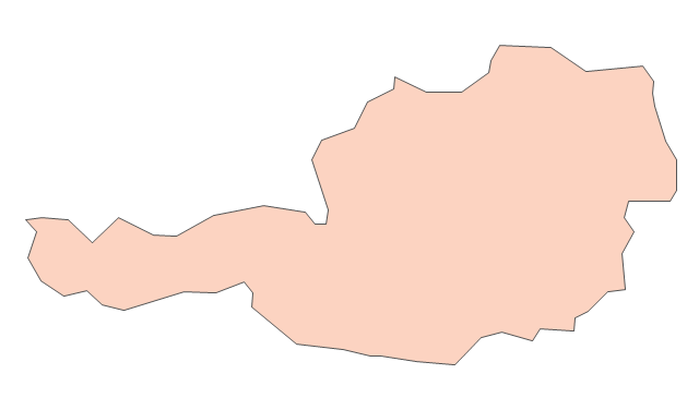
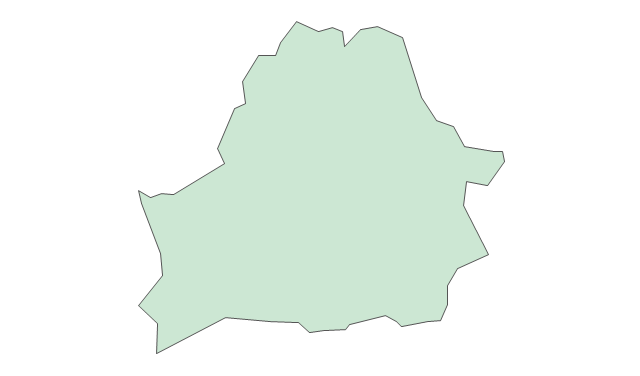
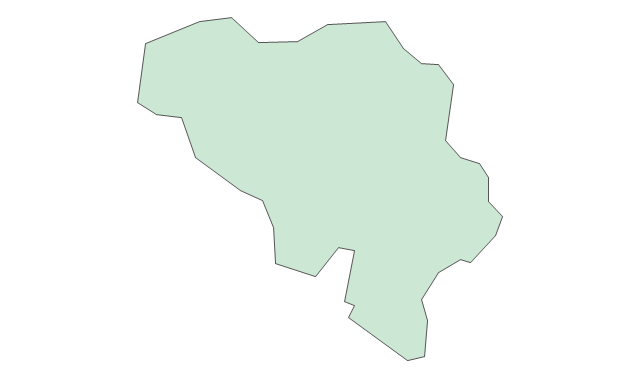
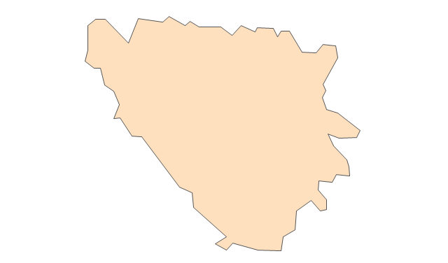
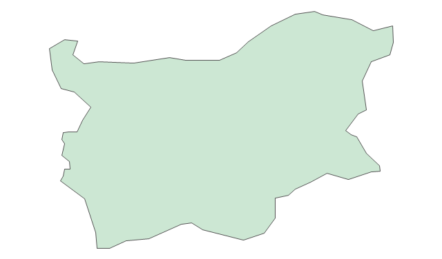
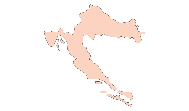
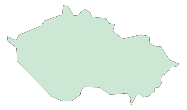
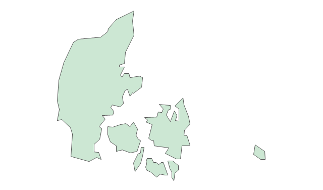
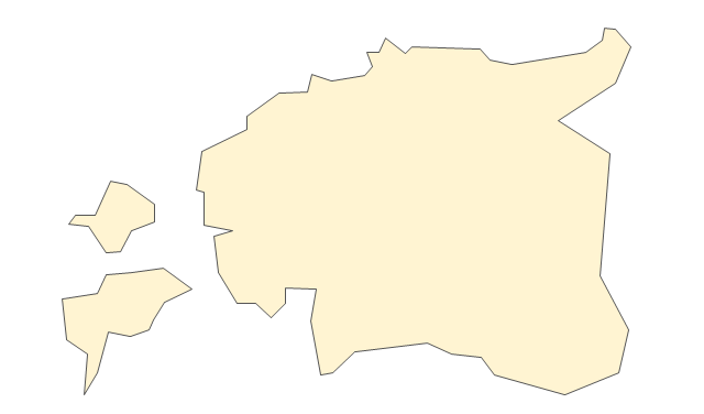
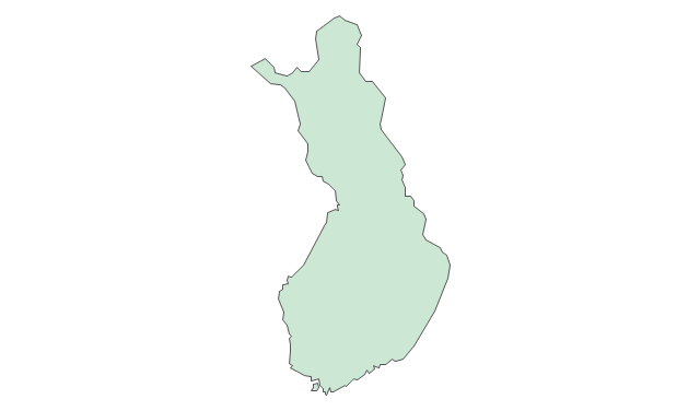
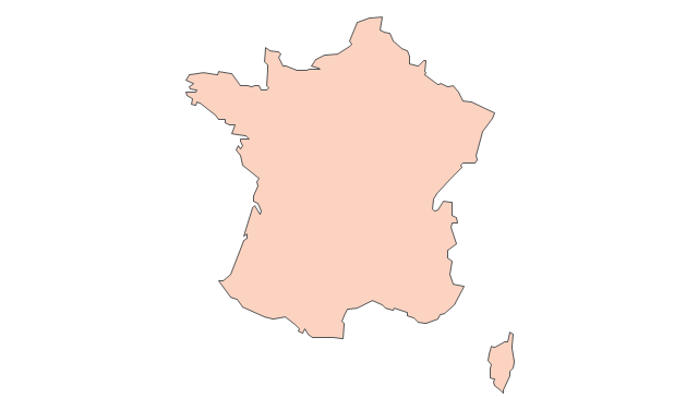
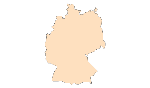
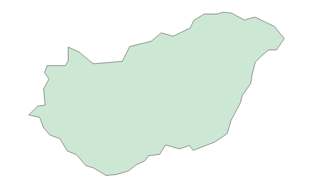
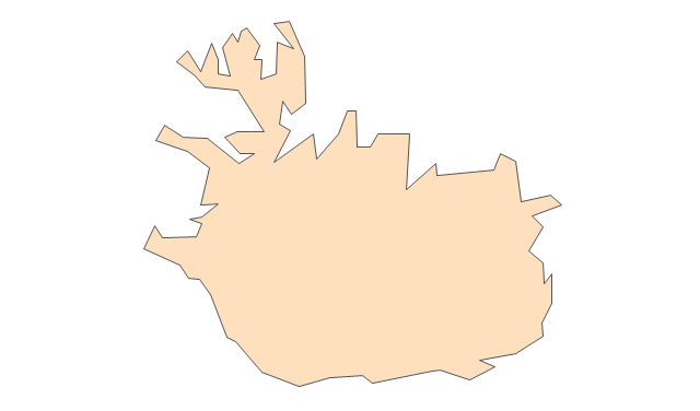
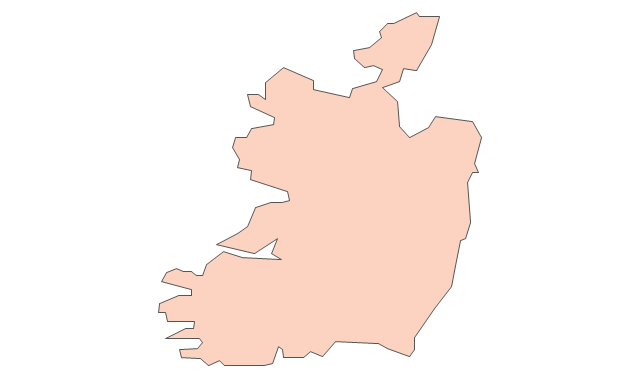
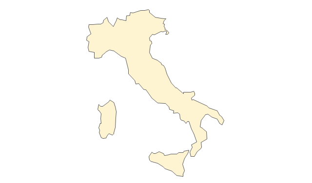
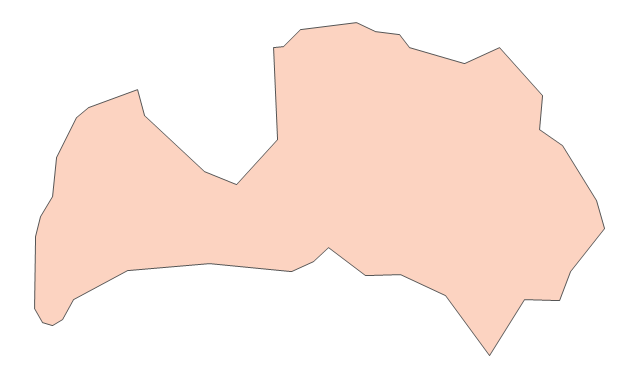
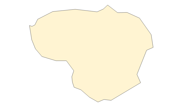
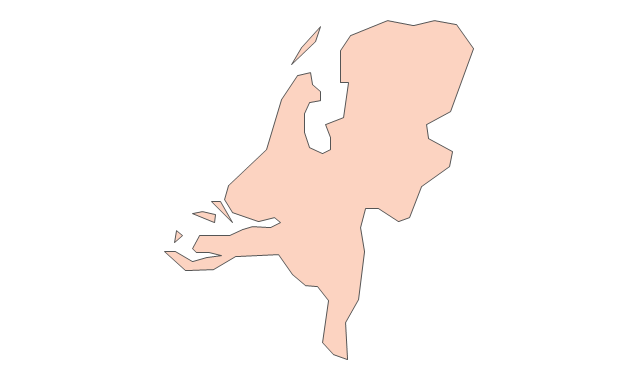
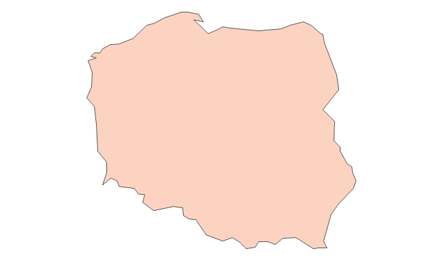
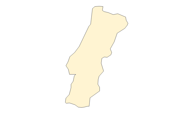
The vector stencils library "Europe" contains 45 state map contours for drawing thematic maps of Europe. Use it in your spatial infographics for visual representation of geospatial information, statistics and quantitative data.
"There are 50 internationally recognised sovereign states with territory located within the common definition of Europe and/ or membership in international European organisations, of which 44 have their capital city within Europe. All except the Vatican City are members of the United Nations (UN), and all except Belarus, Kazakhstan and Vatican City are members of the Council of Europe. Since 2013, 28 of these countries are also member states of the EU, which means they are highly integrated with each other and share their sovereignty with EU institutions." [List of sovereign states and dependent territories in Europe. Wikipedia]
The state map contours example "Europe - Vector stencils library" was created using the ConceptDraw PRO diagramming and vector drawing software extended with the Continent Maps solution from the Maps area of ConceptDraw Solution Park.
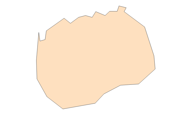
Geo Map - Europe - Macedonia
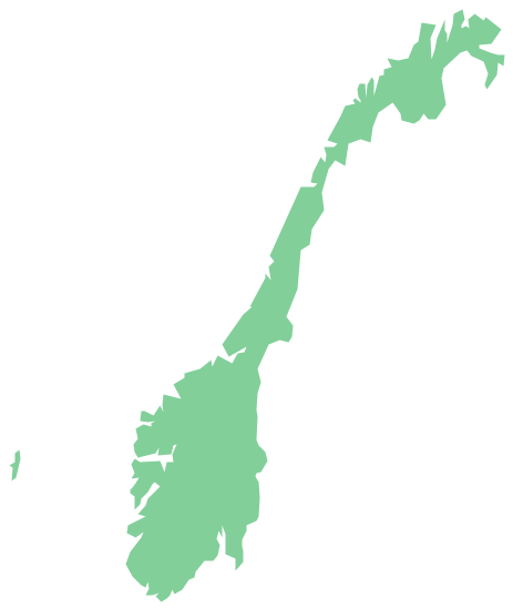
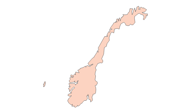
The vector stencils library Macedonia contains contours for ConceptDraw DIAGRAM diagramming and vector drawing software. This library is contained in the Continent Maps solution from Maps area of ConceptDraw Solution Park.Geo Map - Europe - Norway
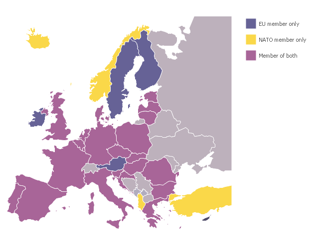
The vector stencils library Norway contains contours for ConceptDraw DIAGRAM diagramming and vector drawing software. This library is contained in the Continent Maps solution from Maps area of ConceptDraw Solution Park.A map showing European membership of the EU and NATO.
"The European Union (EU) is an economic and political union of 28 member states that are located primarily in Europe.
The EU operates through a system of supranational independent institutions and intergovernmental negotiated decisions by the member states. Institutions of the EU include the European Commission, the Council of the European Union, the European Council, the Court of Justice of the European Union, the European Central Bank, the Court of Auditors, and the European Parliament. The European Parliament is elected every five years by EU citizens. The EU's de facto capital is Brussels." [European Union. Wikipedia]
"The principal military alliance in Europe remains NATO, which includes 21 of all EU member states as well as other non-EU European countries, Turkey, the United States and Canada." [Military of the European Union. Wikipedia]
"The North Atlantic Treaty Organization (NATO), also called the (North) Atlantic Alliance, is an intergovernmental military alliance based on the North Atlantic Treaty which was signed on 4 April 1949. The organization constitutes a system of collective defence whereby its member states agree to mutual defense in response to an attack by any external party. NATO's headquarters are in Brussels, Belgium, one of the 28 member states across North America and Europe, the newest of which, Albania and Croatia, joined in April 2009." [NATO. Wikipedia]
This Europe map example was redesigned using the ConceptDraw PRO diagramming and vector drawing software from the Wikimedia Commons file: EU and NATO.svg.
[commons.wikimedia.org/ wiki/ File:EU_ and_ NATO.svg]
The Europe political map example "European membership of the EU and NATO map" is included in the Continent Maps solution from the Maps area of ConceptDraw Solution Park.
Geo Map - Europe - Luxembourg
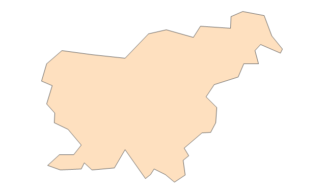
The vector stencils library Luxembourg contains contours for ConceptDraw DIAGRAM diagramming and vector drawing software. This library is contained in the Continent Maps solution from Maps area of ConceptDraw Solution Park.Geo Map - Europe - Slovenia
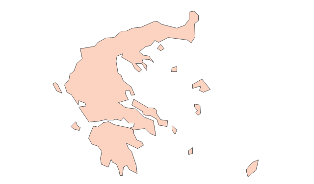
The vector stencils library Slovenia contains contours for ConceptDraw DIAGRAM diagramming and vector drawing software. This library is contained in the Continent Maps solution from Maps area of ConceptDraw Solution Park.Geo Map — Europe — Greece
Greece is strategically located at the crossroads of Europe, Asia, and Africa. The vector stencils library Greece contains contours for ConceptDraw DIAGRAM diagramming and vector drawing software. This library is contained in the Continent Maps solution from Maps area of ConceptDraw Solution Park.Geo Map - Europe - Russia
The vector stencils library Russia contains contours for ConceptDraw DIAGRAM diagramming and vector drawing software. This library is contained in the Continent Maps solution from Maps area of ConceptDraw Solution Park.Geo Map - Africa - Namibia
Namibia, officially the Republic of Namibia, is a country in southern Africa whose western border is the Atlantic Ocean. The vector stencils library Namibia contains contours for ConceptDraw DIAGRAM diagramming and vector drawing software. This library is contained in the Continent Maps solution from Maps area of ConceptDraw Solution Park.Geo Map - Asia - Yemen
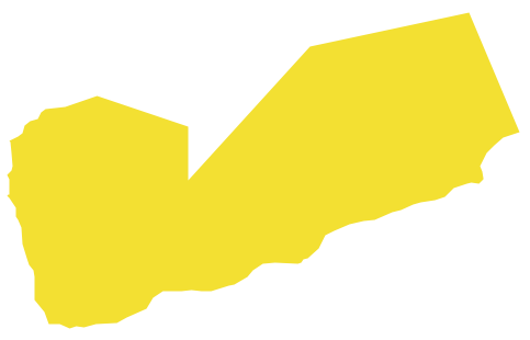
Yemen, officially known as the Yemeni Republic, is an Arab country located in Western Asia, occupying the southwestern to southern end of the Arabian Peninsula. The vector stencils library Yemen contains contours for ConceptDraw DIAGRAM diagramming and vector drawing software. This library is contained in the Continent Maps solution from Maps area of ConceptDraw Solution Park.Geo Map - Africa - Sierra Leone
Sierra Leone, officially the Republic of Sierra Leone, is a country in West Africa that is bordered by Guinea to the northeast, Liberia to the southeast, and the Atlantic Ocean to the southwest. The vector stencils library Sierra Leone contains contours for ConceptDraw DIAGRAM diagramming and vector drawing software. This library is contained in the Continent Maps solution from Maps area of ConceptDraw Solution Park.Geo Map - South America - Mexico
Mexico, officially the United Mexican States, is a federal republic in North America. The vector stencils library Mexico contains contours for ConceptDraw DIAGRAM diagramming and vector drawing software. This library is contained in the Continent Maps solution from Maps area of ConceptDraw Solution Park.Geo Map - Asia - Japan
Japan is an island nation in East Asia. Located in the Pacific Ocean, it lies to the east of the Sea of Japan, China, North Korea, South Korea and Russia, stretching from the Sea of Okhotsk in the north to the East China Sea and Taiwan in the south. The vector stencils library Japan contains contours for ConceptDraw DIAGRAM diagramming and vector drawing software. This library is contained in the Continent Maps solution from Maps area of ConceptDraw Solution Park.Geo Map — United States of America Map
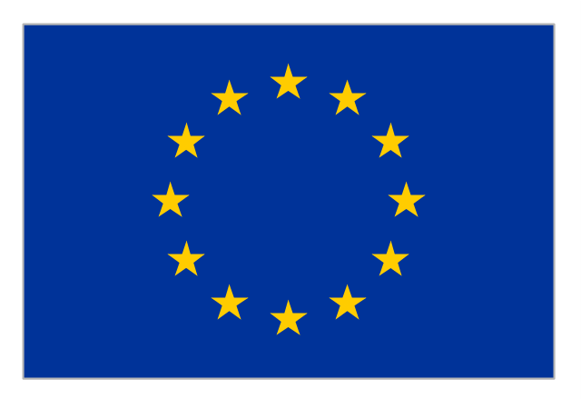
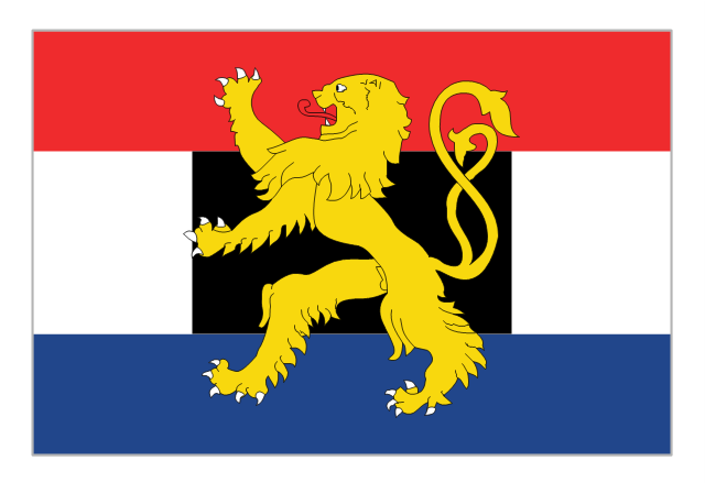
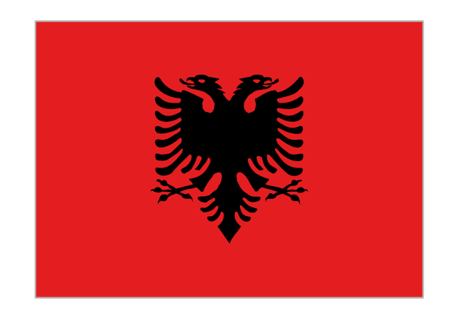
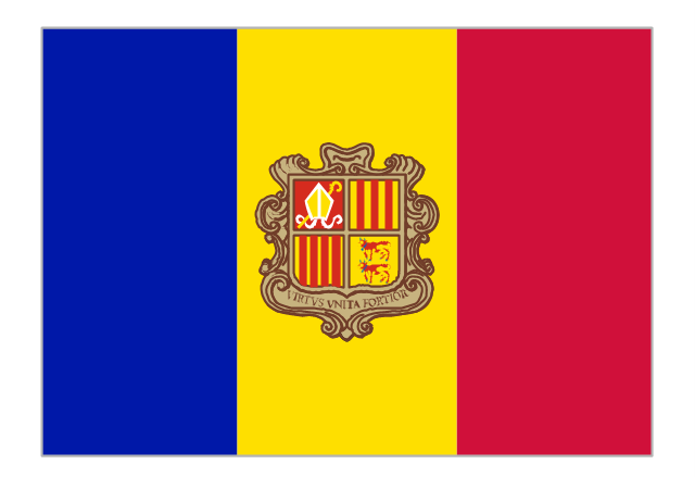
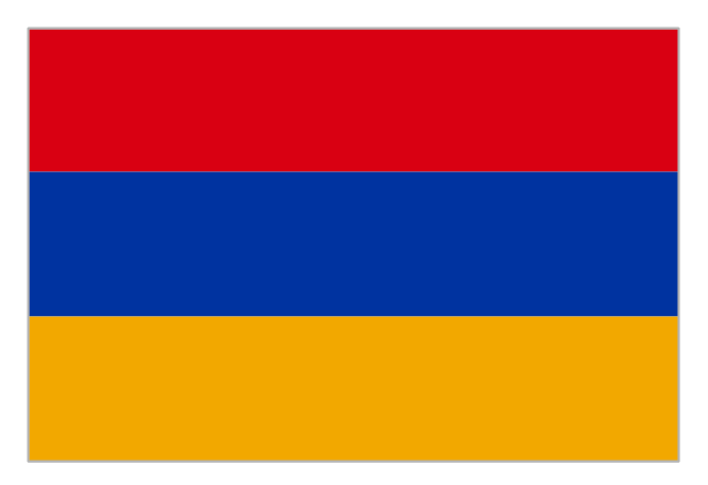
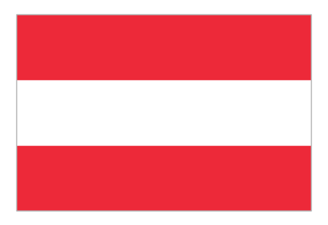
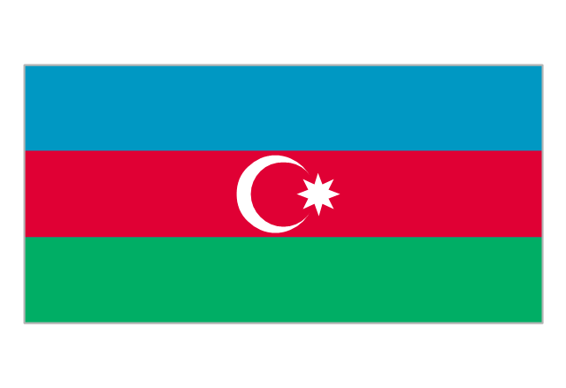
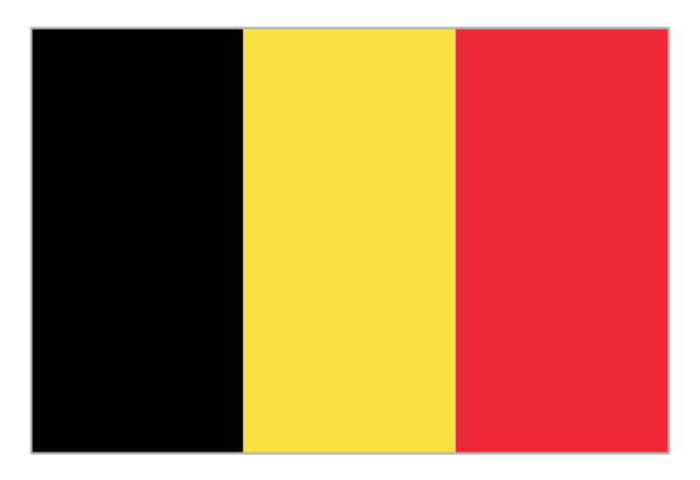
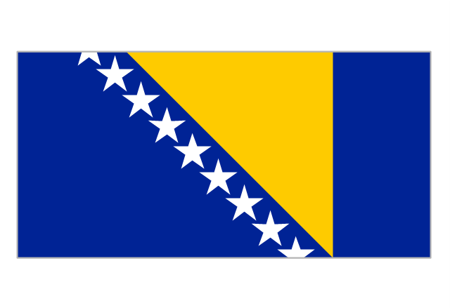
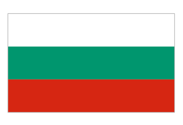
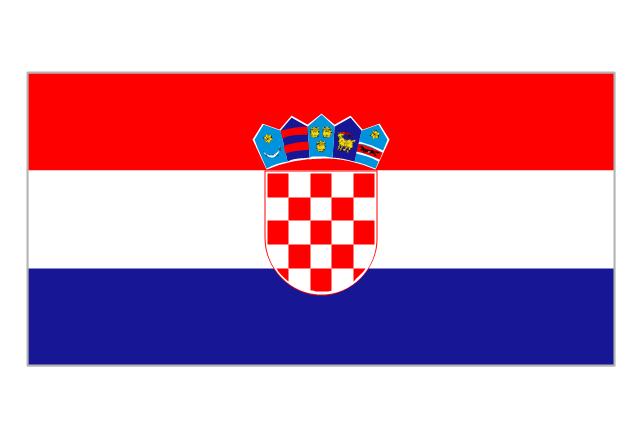
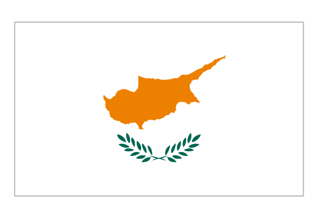
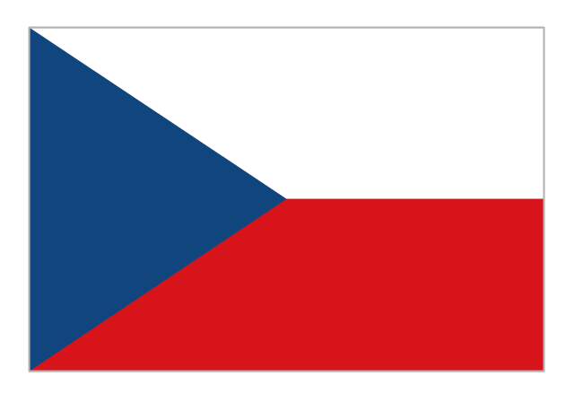
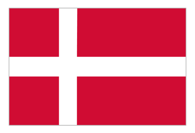
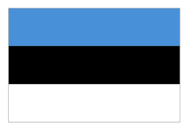
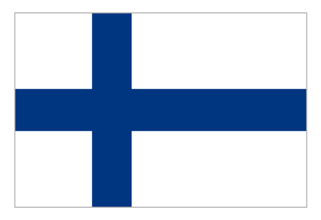
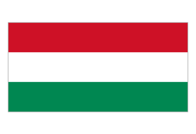
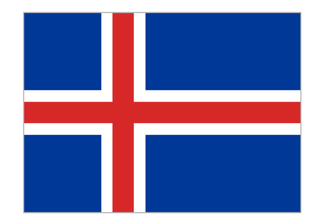
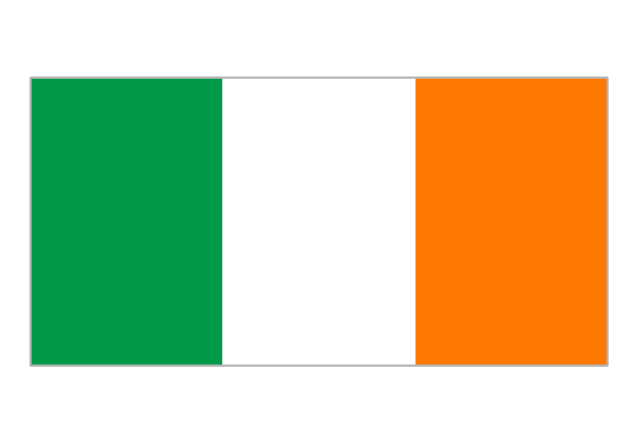
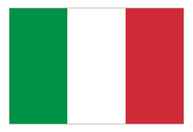
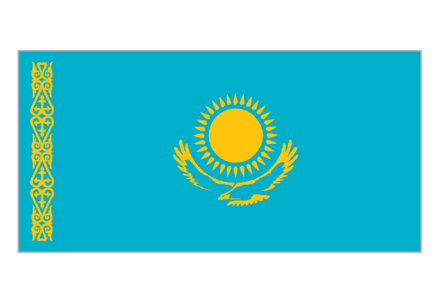
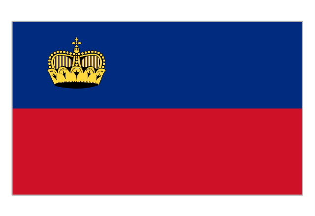
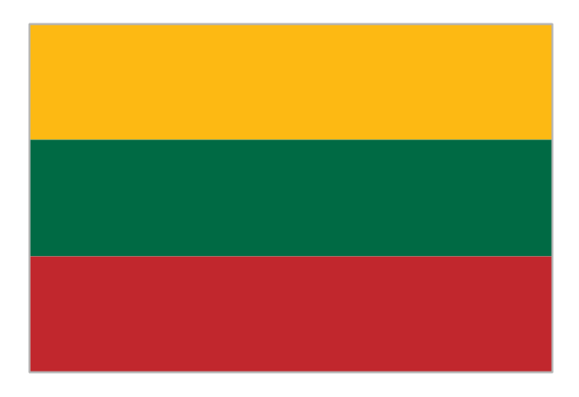
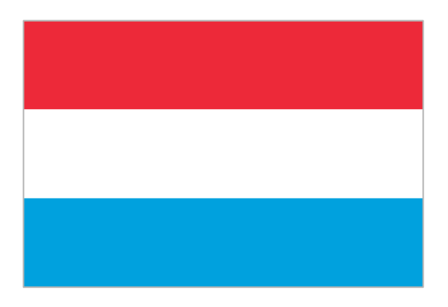
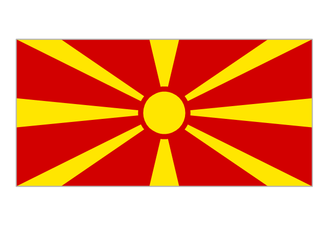
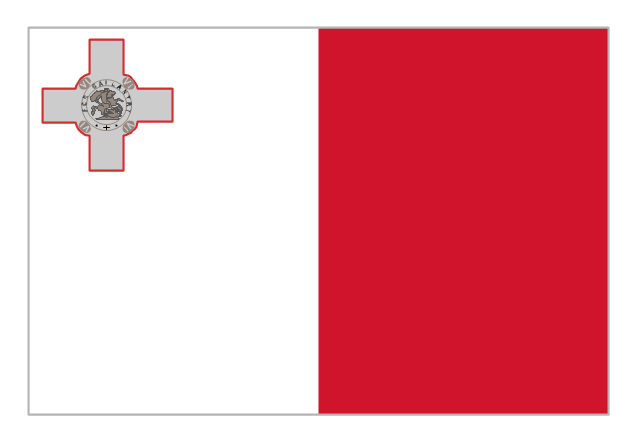
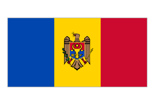
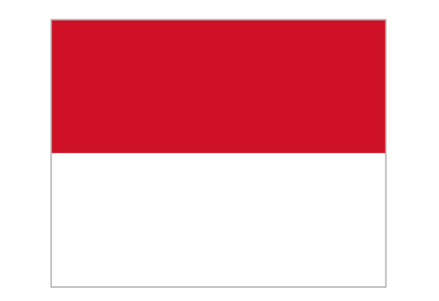
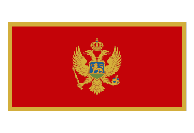
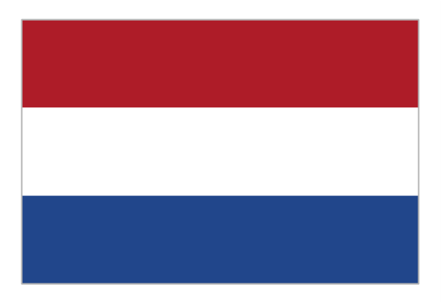
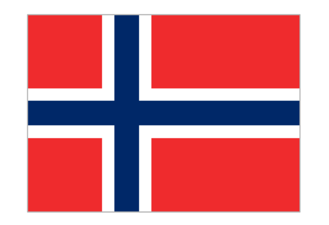
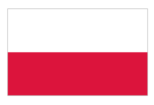
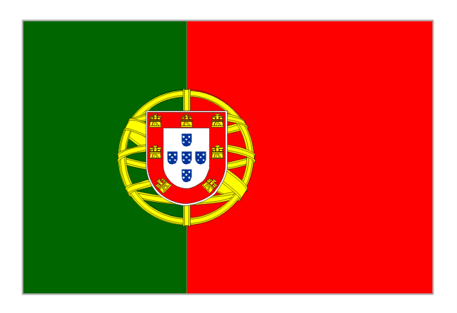
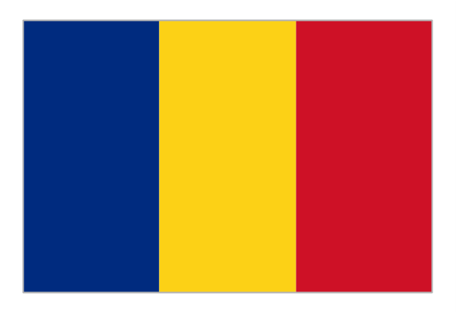
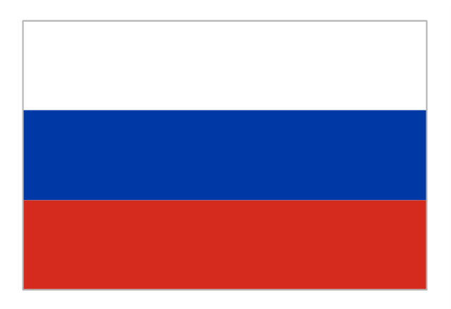
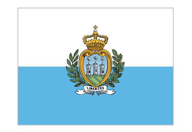
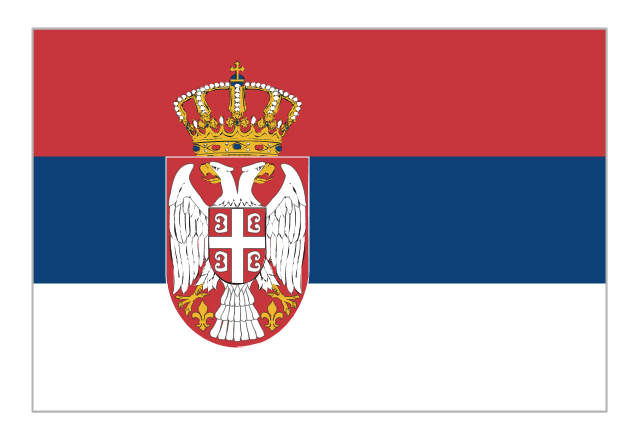
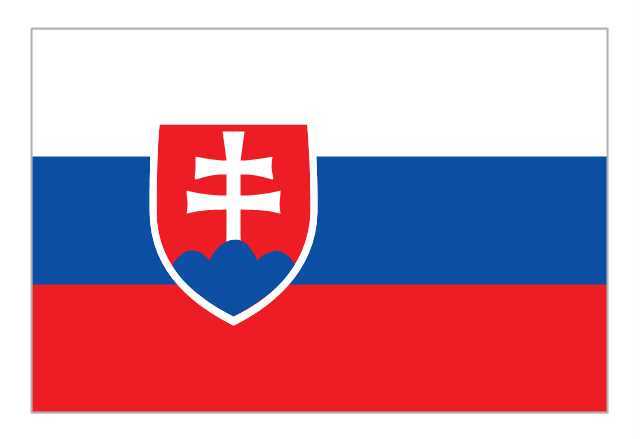
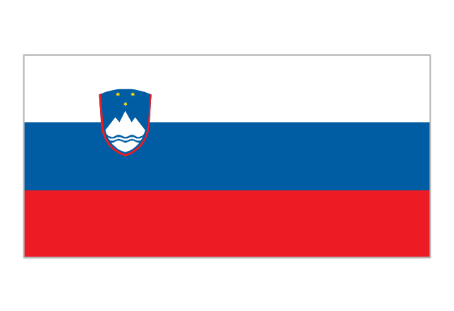
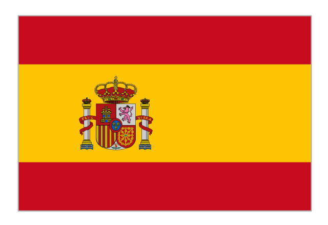
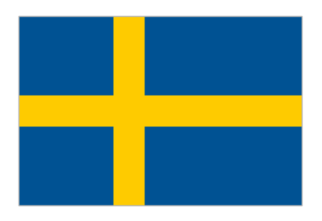
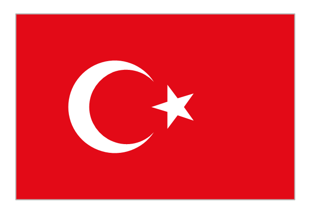
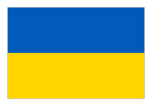
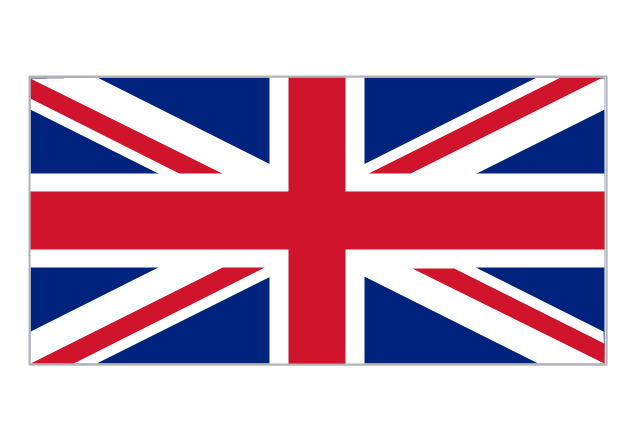
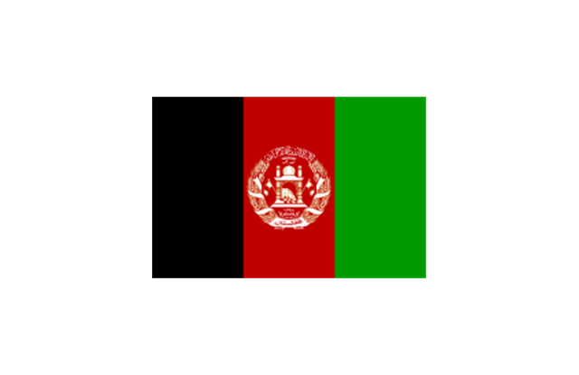
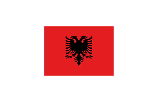
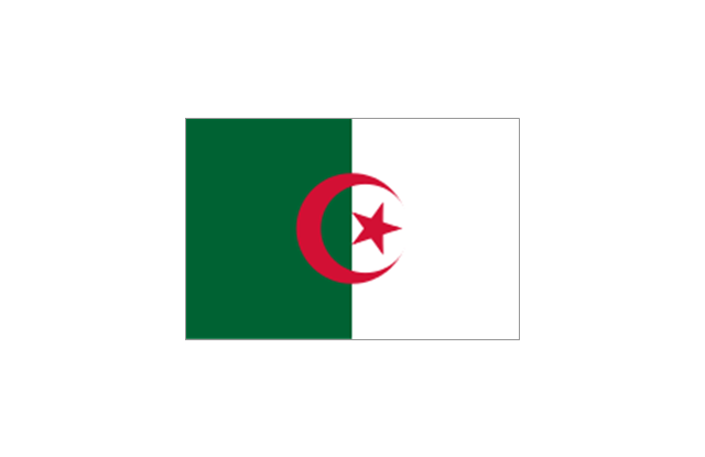
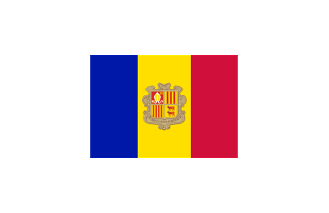
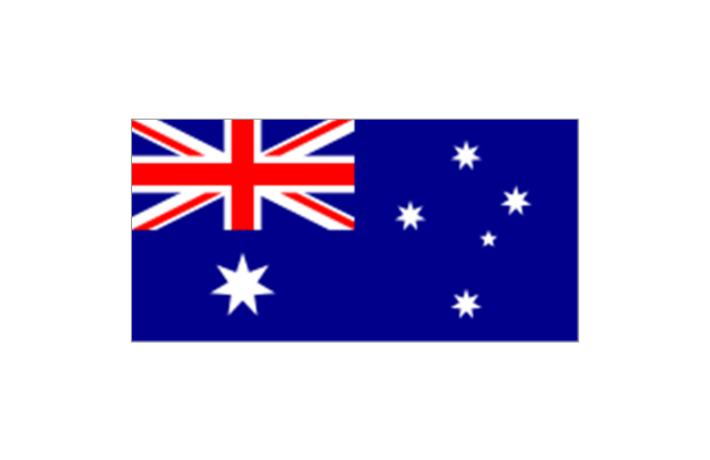
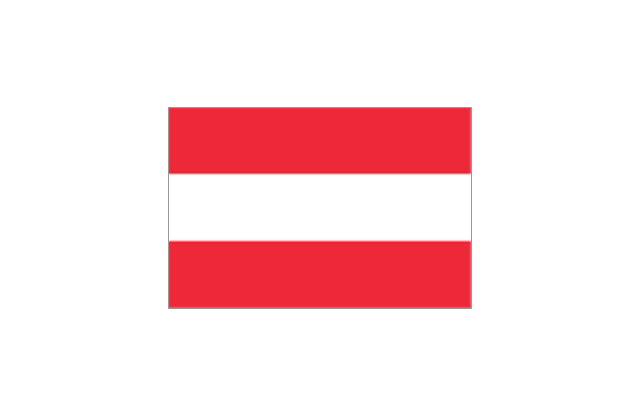
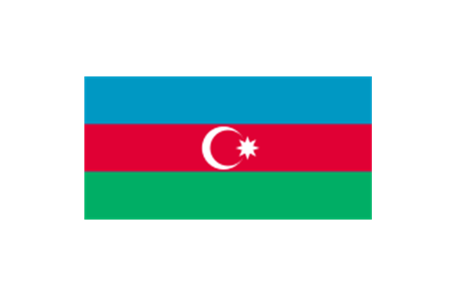
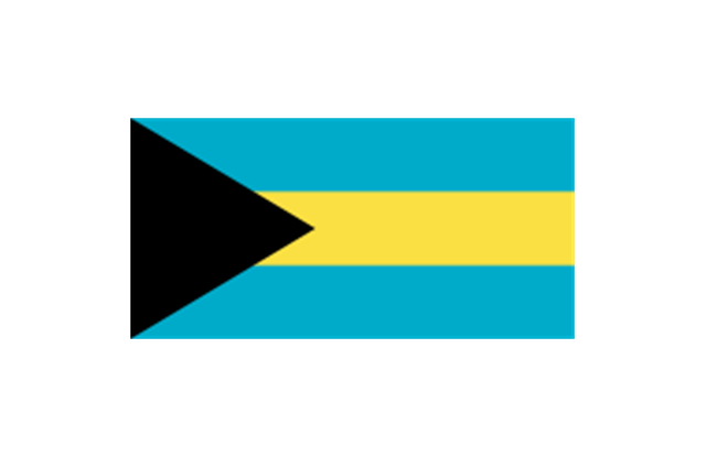
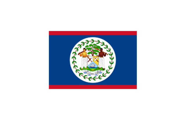
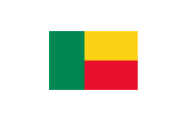
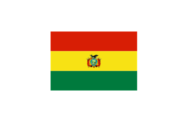
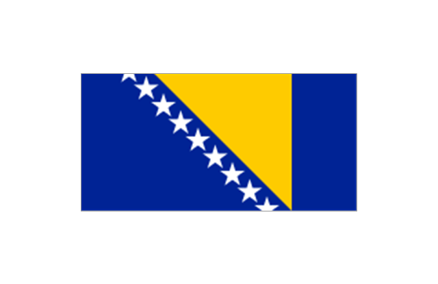
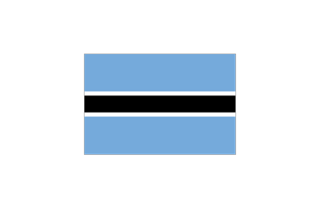
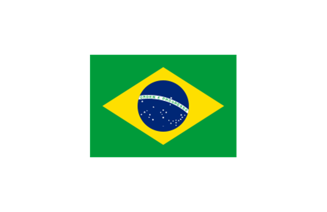
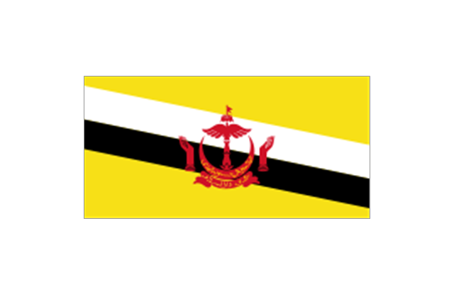
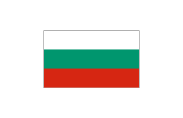
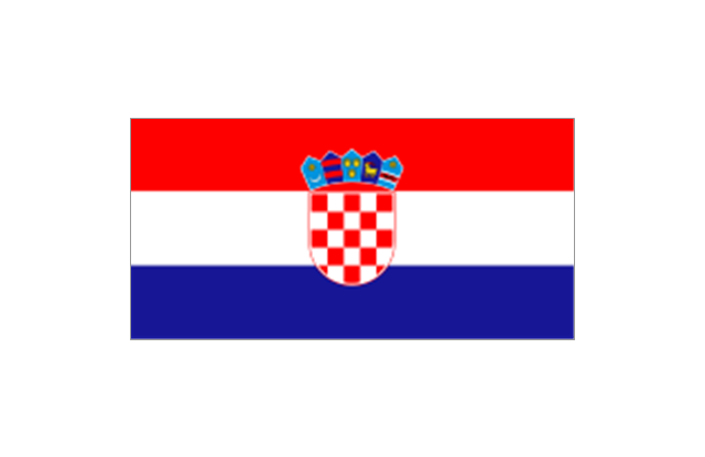
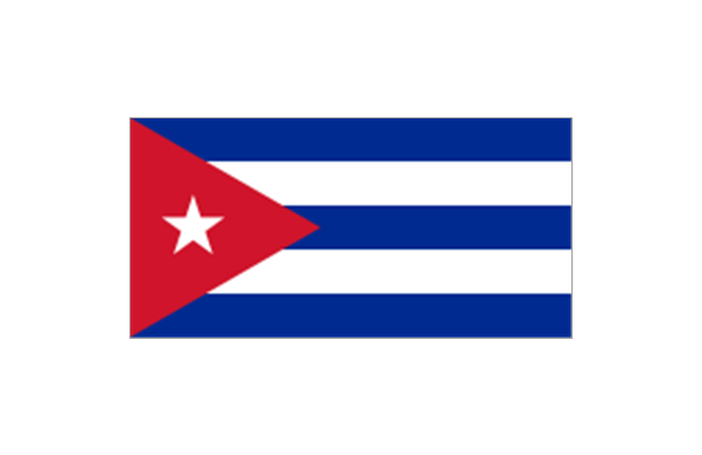
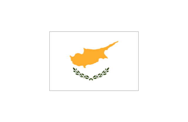
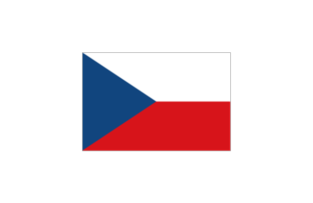
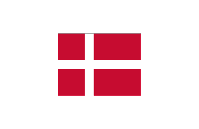
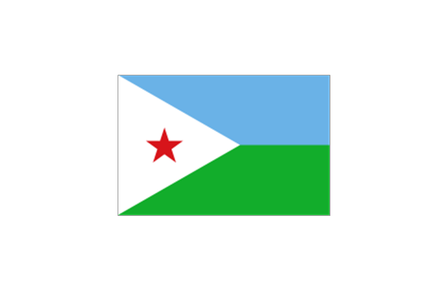
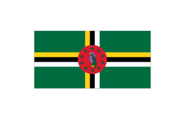
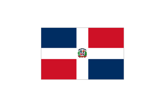
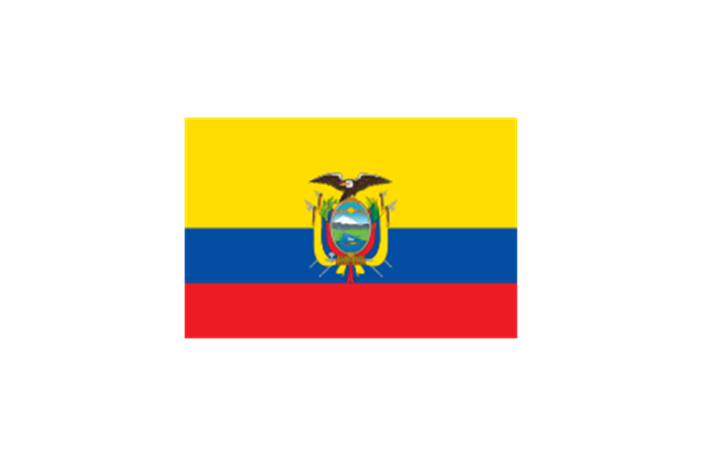
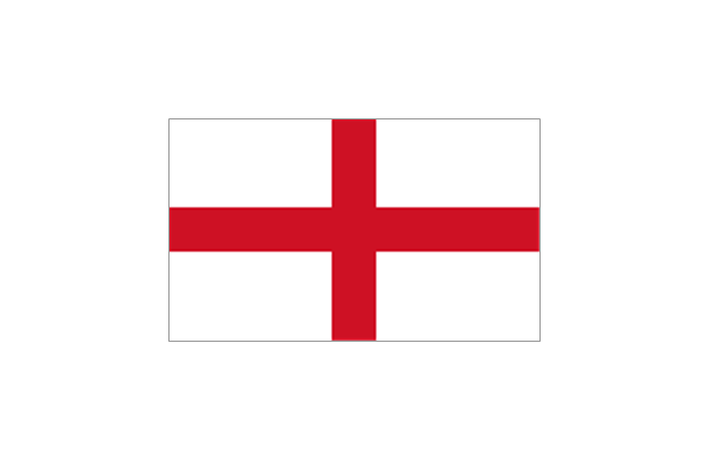
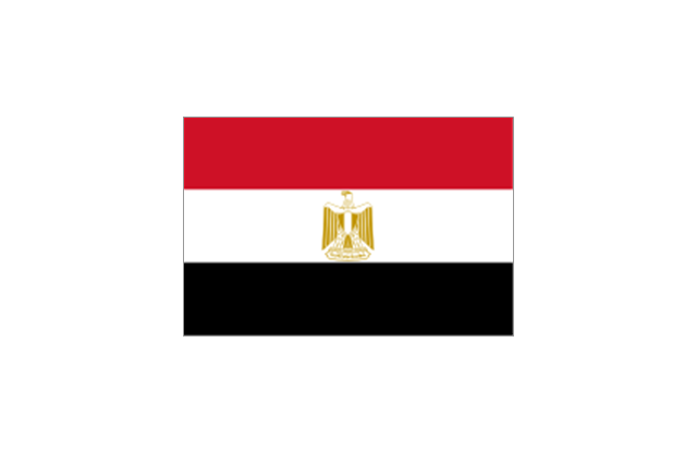
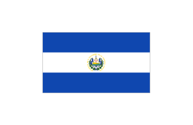
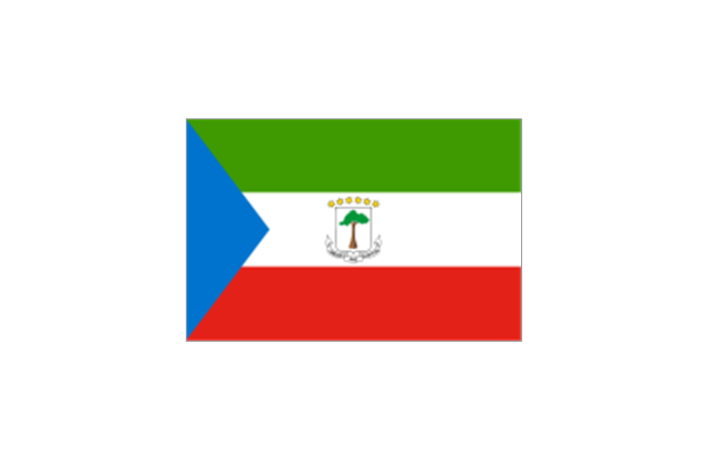
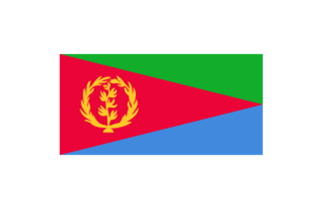
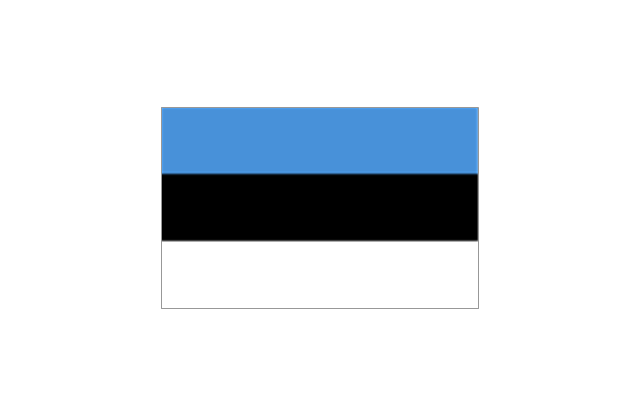
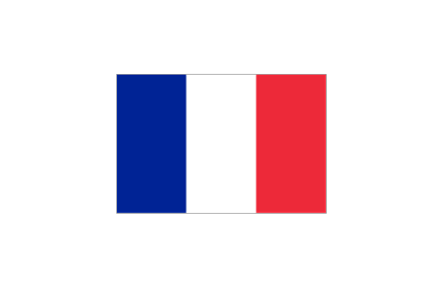
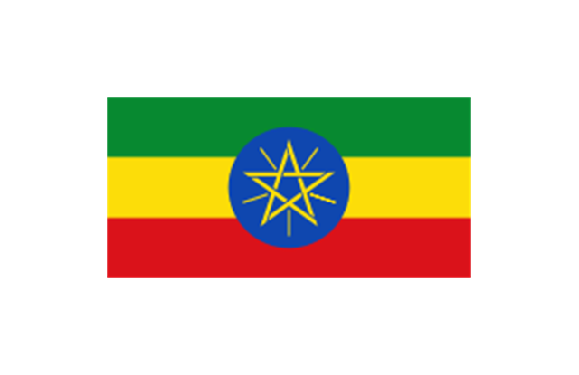
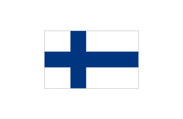
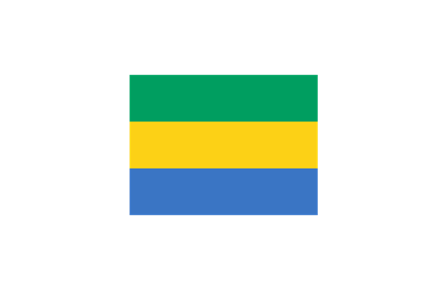
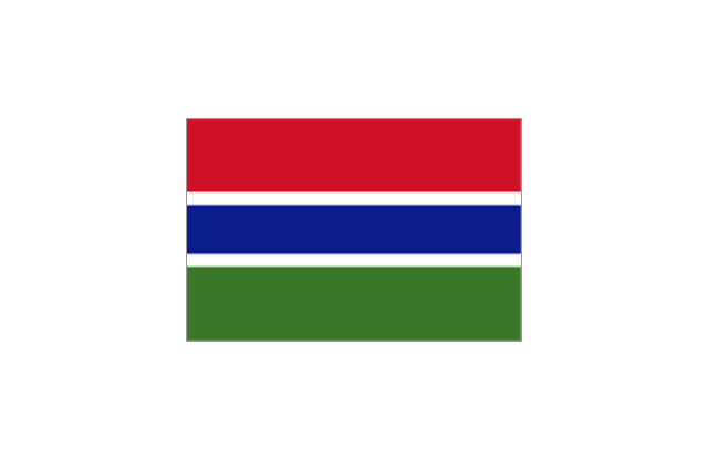
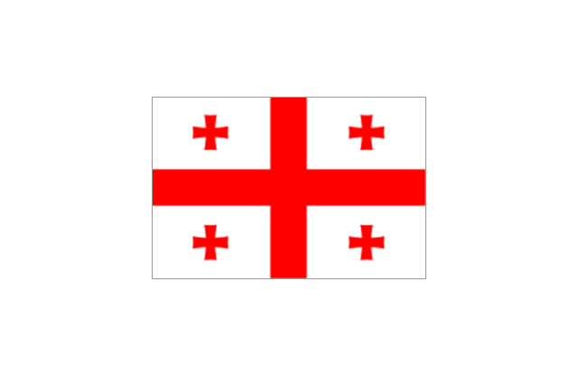
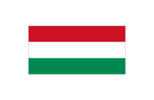
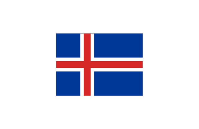
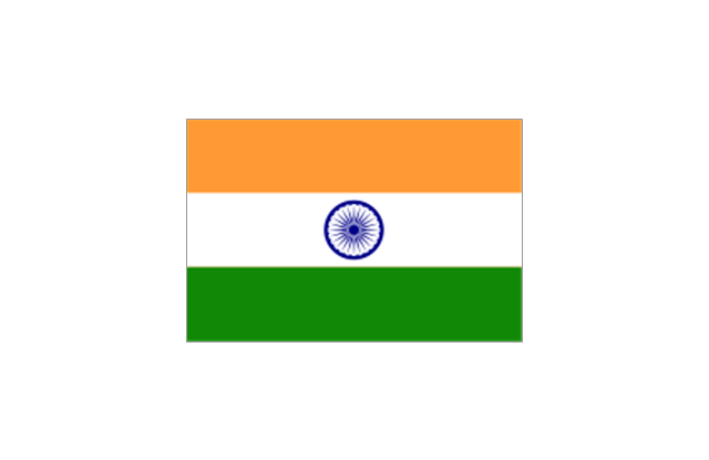
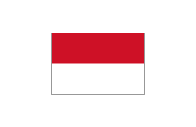
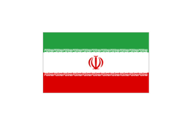
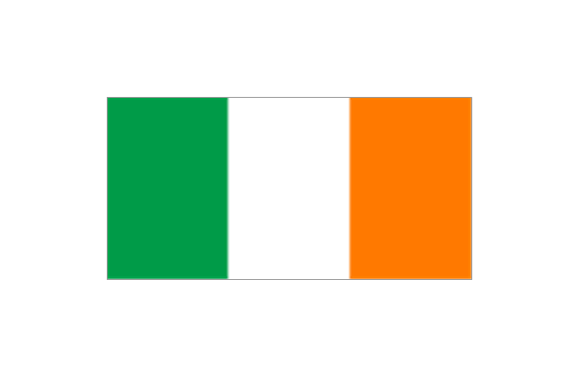
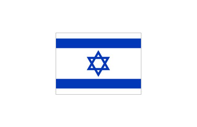
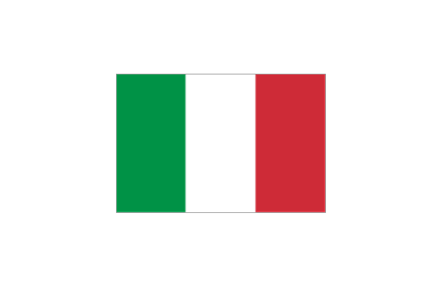
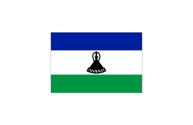
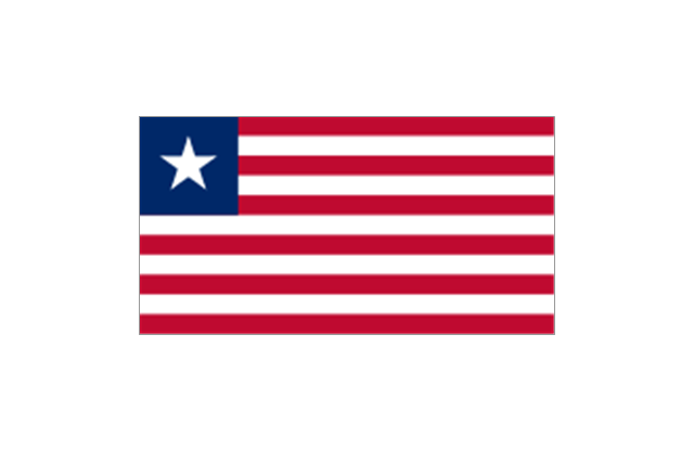
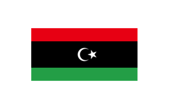
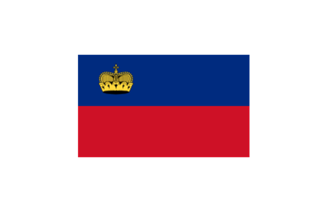
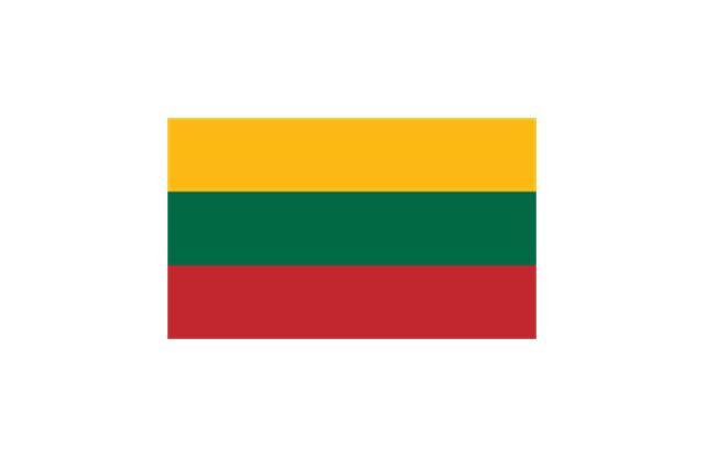
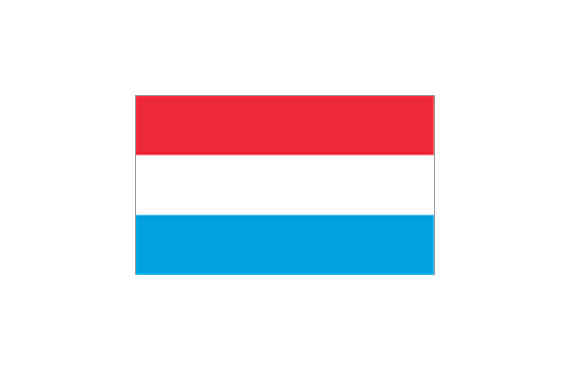
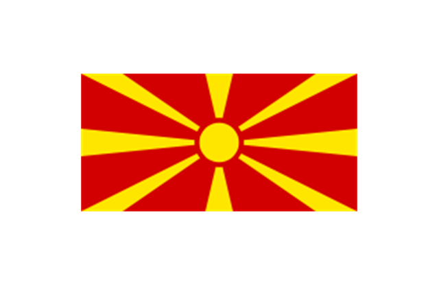
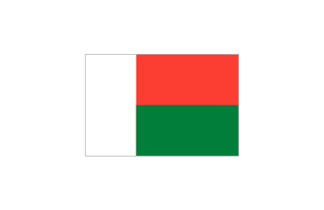
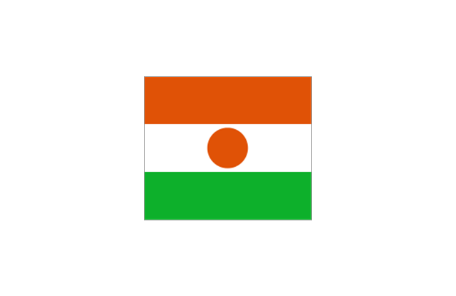
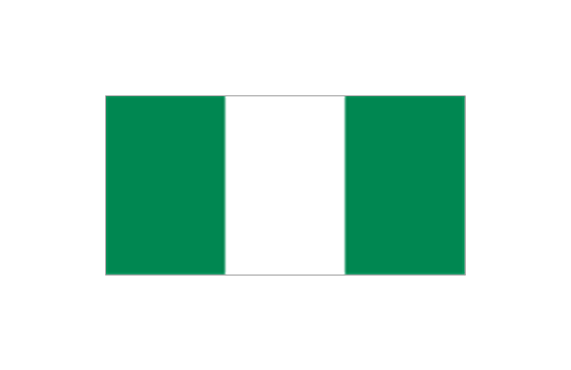
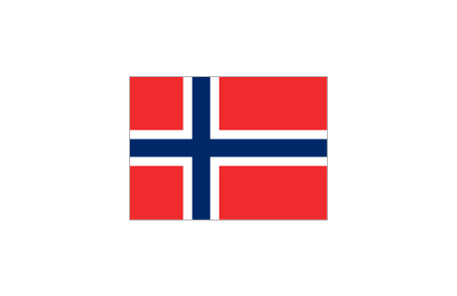
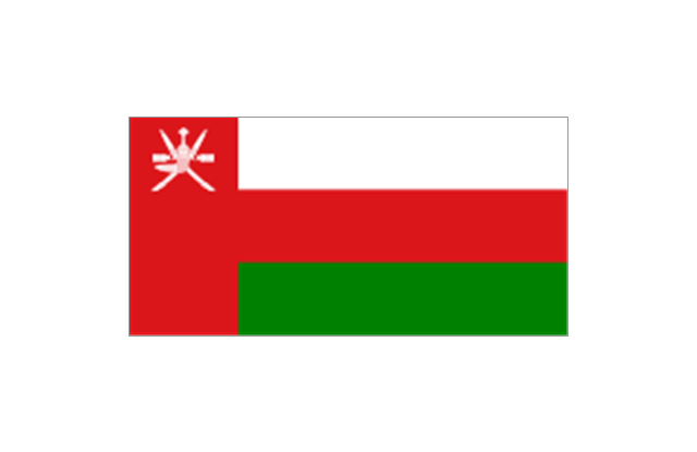
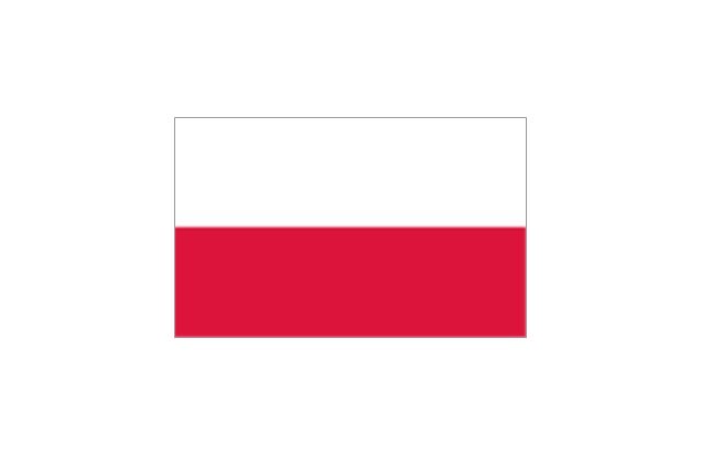
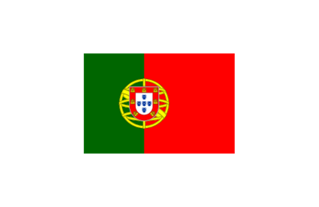
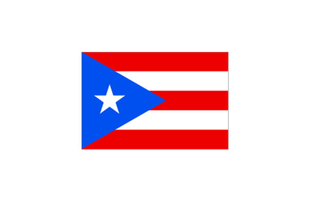
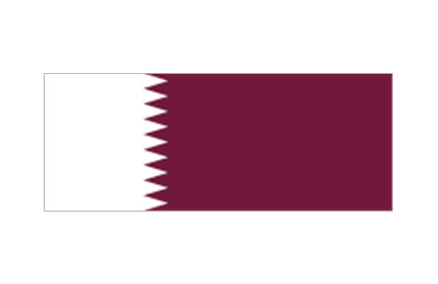
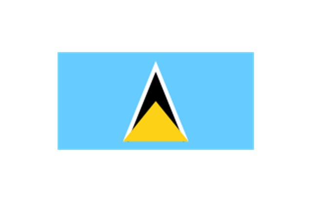
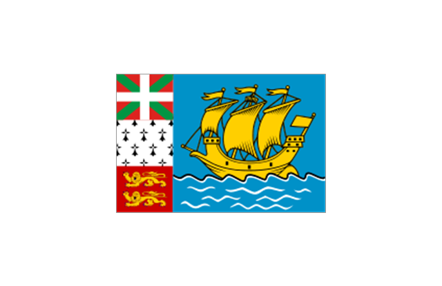
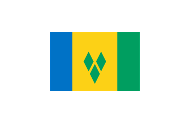
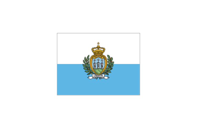
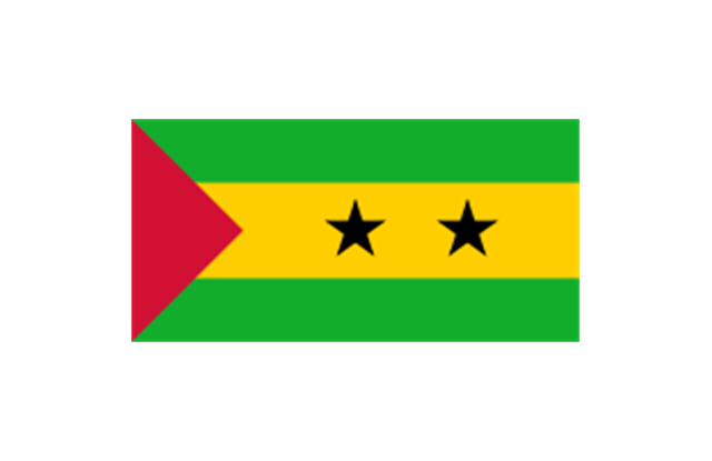
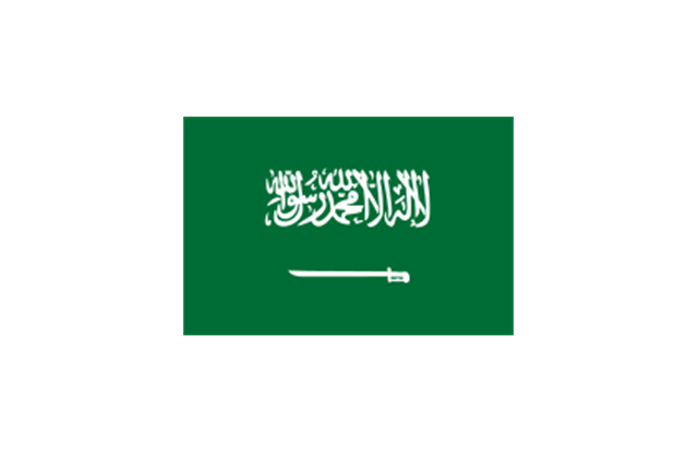
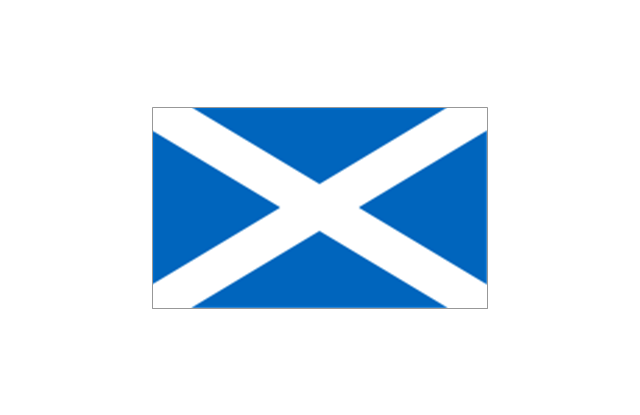
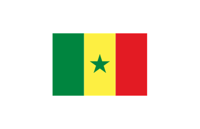
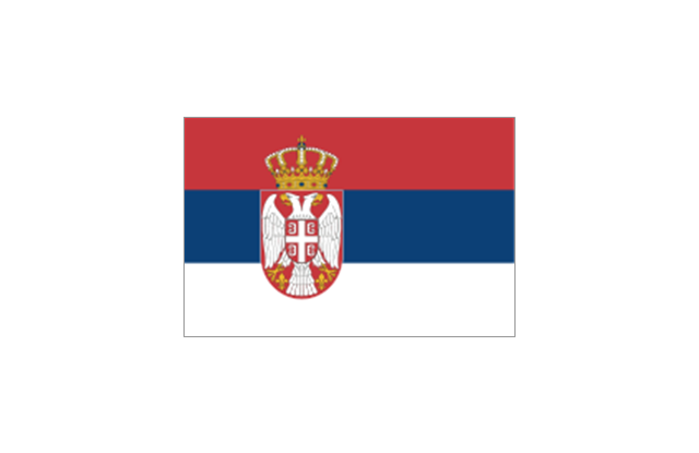
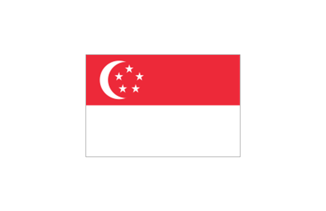
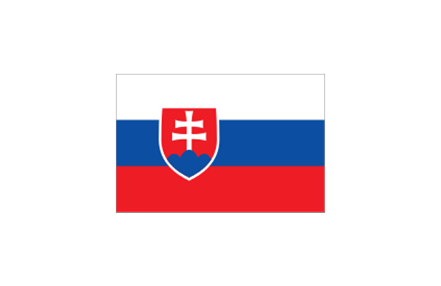
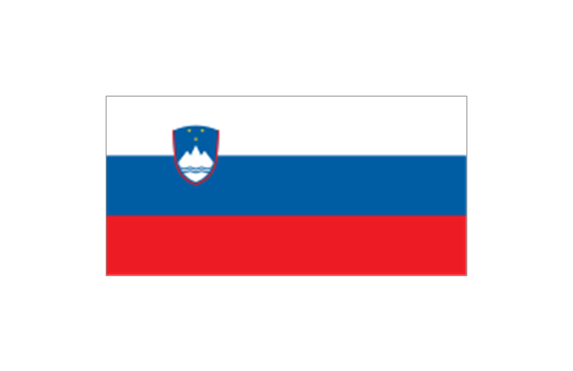
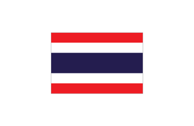
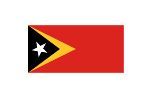
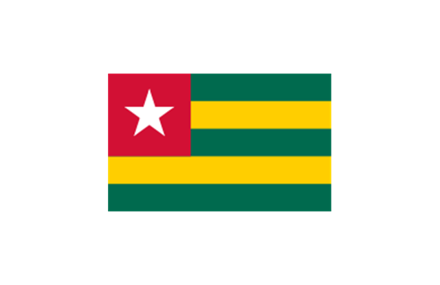
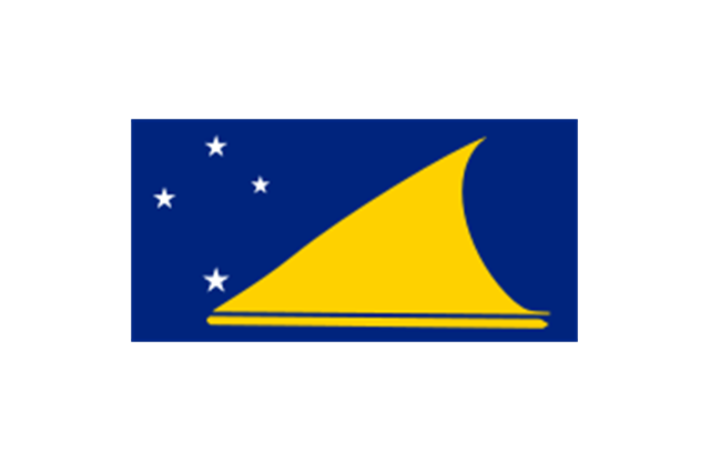
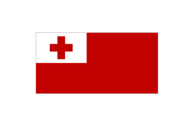
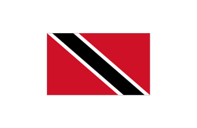
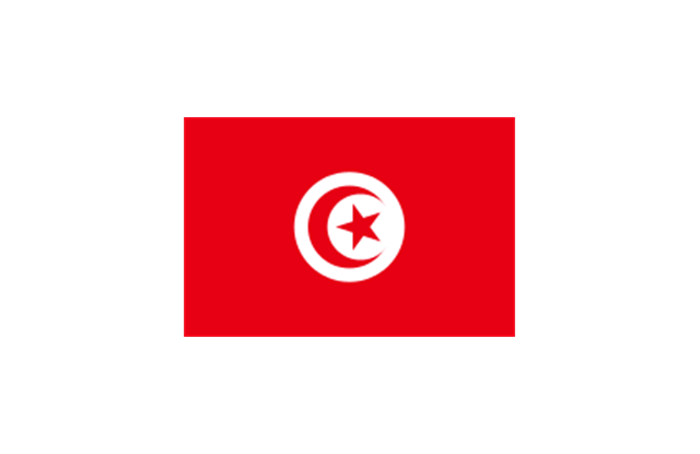
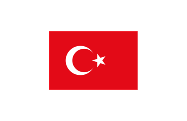
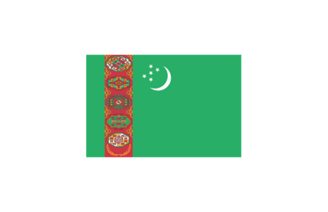
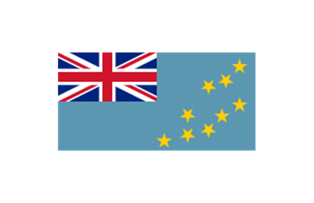
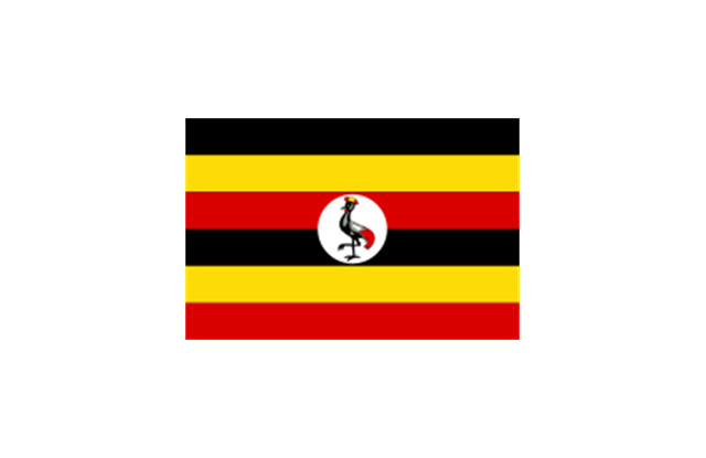
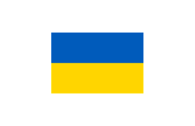
United States of America (USA) is a federal republic that includes 50 states and a federal district. It is the third largest country by population, fourth by the total area, and one of the most diverse in respect of nationalities and cultures. ConceptDraw DIAGRAM software extended with Continent Maps solution is ideal to draw professional looking Geological map of United States of America, USA map with states, the separate maps of different states of America, thematic maps, geospatial infographics, and varied vector illustrations for your business documents, presentations and websites. Use the pre-designed vector geo map shapes offered by numerous libraries, in particular by the United States of America library that contains 53 United States of America map contours. Each map is scaled, with the option to add the further levels of detail, thus the county borders, their names, capitals, and major cities can be instantly shown or hidden using the Action menu for each state map. ConceptDraw DIAGRAM software gives you a full control over the map size, shading, color fills and alignment.The vector stencils library "European country flags" contains 51 clipart images of Europe state flags.
Use the European country flags clip art to illustrate your business documents, presentation slides, web pages, geo maps and infographics.
The clip art example "European country flags - Vector stencils library" was created using the ConceptDraw PRO diagramming and vector drawing software extended with the Artwork solution from the Illustration area of ConceptDraw Solution Park.
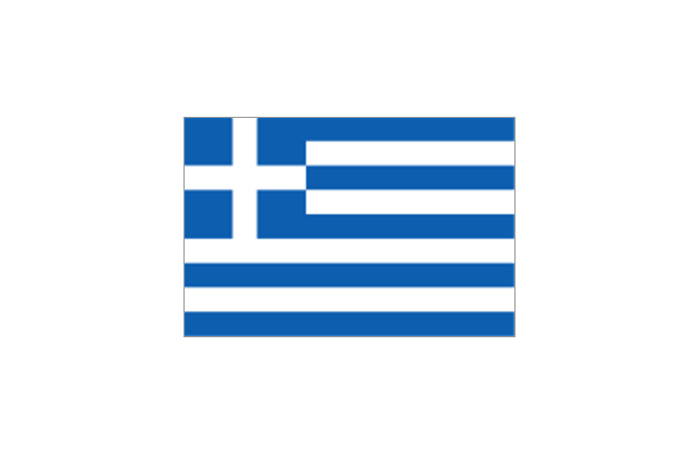
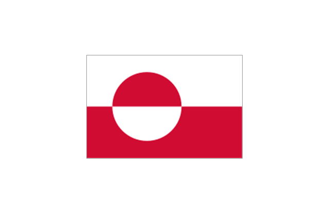
The vector stencils library "European country flags" contains 51 clipart images of Europe state flags.
Use the European country flags clip art to illustrate your business documents, presentation slides, web pages, geo maps and infographics.
The clip art example "European country flags - Vector stencils library" was created using the ConceptDraw PRO diagramming and vector drawing software extended with the Artwork solution from the Illustration area of ConceptDraw Solution Park.
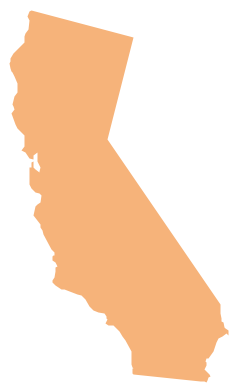
Geo Map - USA - California
California is a state located on the West Coast of the United States. The vector stencils library California contains contours for ConceptDraw DIAGRAM diagramming and vector drawing software. This library is contained in the Continent Maps solution from Maps area of ConceptDraw Solution Park.- Political map of Europe
- Design elements - Europe | Spatial infographics Design Elements ...
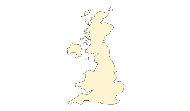
- Political map of Europe | Geo Map - Europe - United Kingdom ...
- Continent Maps | Geo Map - Europe - Germany | Design elements ...
- Political map of Europe | European membership of the EU and ...
- Geo Map - Europe
- Europe - Vector stencils library | Geo Map - Europe - Russia ...
- Geo Map - Europe - Poland
- Political map of Europe | Map Software | Continent Maps | Map Of ...
- Geo Map - Europe - France
- Geo Map - Europe - Norway
- Political map of Europe | Geo Map - Europe - United Kingdom | Map ...
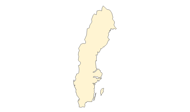
- Geo Map - Europe - Sweden
- Political map of Europe | Design elements - Education maps (EU ...
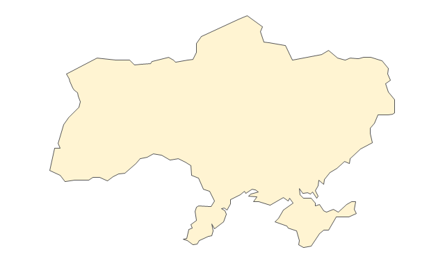
- Geo Map - Europe - Ukraine
- Geo Map - Europe - Albania
- Geo Map - Europe - Latvia
- Geo Map - Europe - France
- Europe - Thematic map template | European membership of the EU ...
- Geo Map - Europe - Belarus













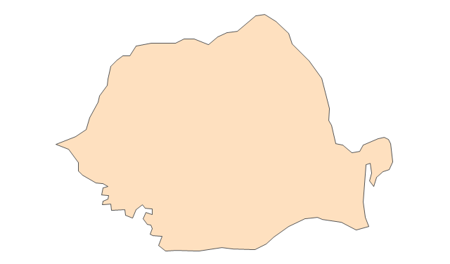
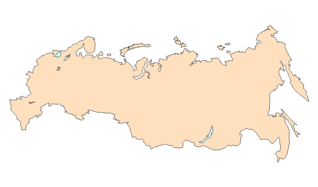
-europe---vector-stencils-library.png--diagram-flowchart-example.png)
